The best gravel rides in Mulligans Flat Nature Reserve
55
riders
3
rides
Gravel bike trails in Mulligans Flat Nature Reserve traverse a varied landscape of woodlands, open grassy areas, and management trails. The reserve offers diverse riding experiences, from singletrack to wider paths, including sections of the Canberra Centenary Trail. Riders encounter surfaces ranging from smooth paths to loose gravel, providing a genuine gravel riding experience. This area is characterized by its unique ecological significance, protecting critically endangered woodlands and providing habitat for numerous species.
Best gravel bike trails in Mulligans Flat Nature Reserve
- The most popular gravel bike trail is National Carillon – Forest Singletrack Trail loop from Mapleton Avenue, a 39.1 miles (62.9 km) trail that takes 4 hours 15 minutes to complete. This challenging route features significant elevation gain through varied forest terrain.
- Another top favourite among local gravel bikers is Bruce Ridge Trailhead and Map – Forest Singletrack Trail loop from Phillip Avenue, a difficult 27.0 miles (43.4 km) path. This route offers a mix of singletrack and wider trails through forest landscapes.
- Local gravel bikers also love the Daughters Hall loop from Casey, a 12.0 miles (19.4 km) trail leading through open grassy areas and woodlands, often completed in about 1 hour 24 minutes.
- Gravel biking in Mulligans Flat Nature Reserve is defined by diverse woodlands, open grassy areas, and varied trail surfaces, with options for different ability levels from easy loops to more challenging routes.
- The guide includes highly-rated routes that showcase the best of the region's landscape. More than 40 gravel bikers have used komoot to explore Mulligans Flat Nature Reserve's varied terrain.
Last updated: November 21, 2026
3
riders
Hard gravel ride. Very good fitness required. Mostly paved surfaces.
38
riders
Hard gravel ride. Very good fitness required. Mostly paved surfaces.

10
riders
45.9km
03:19
550m
550m
Hard gravel ride. Very good fitness required. Mostly paved surfaces.
Our route recommendations are based on thousands of hikes, rides, and runs completed by other people on komoot.
Start today with a free account
Your next adventure awaits.



Tips from the Community

Mount Ainslie Nature Reserve covers 637 hectares of native bushland on Canberra's northeast edge, adjacent to Mount Majura Nature Reserve. There is a network of shared trails that wind through eucalypt forest, leading to beautiful views of Lake Burley Griffin and the city from the summit. Aside from the popular trails, the reserve also protects critically endangered grassy woodlands and diverse habitats that support threatened birds, rare plants, and native wildlife.
0
0
Campbell Link Trail is a management track that connects the suburb of Campbell with the trail network in Mount Ainslie Nature Reserve. The wide gravel path passes through open eucalypt woodland and links routes to the summit and several others throughout the reserve, for plenty of options for longer walks around the base of the mountain.
0
0
Mount Ainslie Nature Reserve covers 637 hectares of native bushland on Canberra's northeast edge, adjacent to Mount Majura Nature Reserve. There is a network of shared trails that wind through eucalypt forest, leading to beautiful views of Lake Burley Griffin and the city from the summit. Aside from the popular trails, the reserve also protects critically endangered grassy woodlands and diverse habitats that support threatened birds, rare plants, and native wildlife.
0
0
Yarralumla Bay District Park sits on the southern foreshore of Lake Burley Griffin, between Orana Bay and Blue Gum Point, with a sandy beach and designated areas for swimming, paddling, boating, and other water sports. The park includes shaded picnic areas right along the lake’s cycleway/walkway and has launching ramps, piers, and clubhouses for sailing and rowing activities. It is a popular spot for year-round lakeside walking and water‑based recreation.
0
0
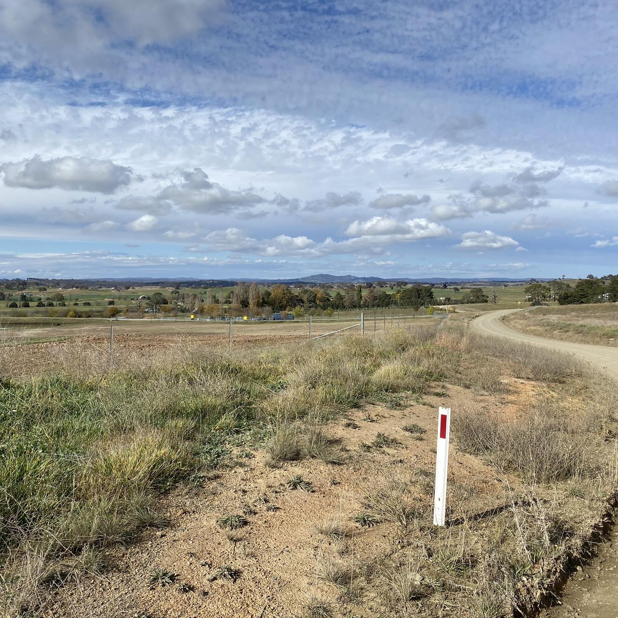
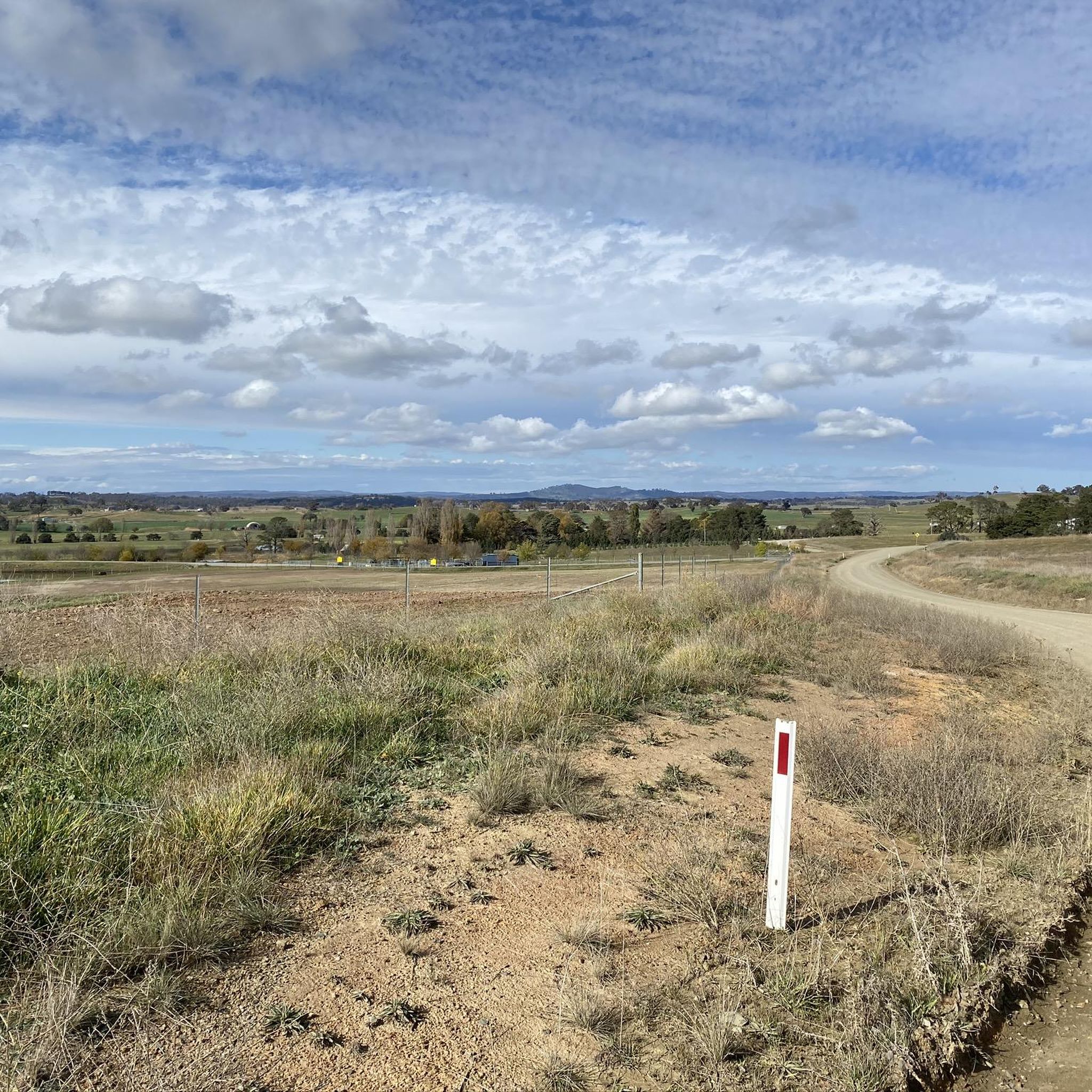
Canberra Centenary Trail is a long-distance walking and cycling route that forms a 145-kilometre loop around the Australian Capital Territory. In this rural section near Hall, the trail follows easy farm paths and grassy hills as it approaches the climb to One Tree Hill. This quieter part of the route offers expansive views of farmland and distant ranges, giving the walk a remote feel despite being close to Canberra.
0
0
Hall is a small historic village on the northern edge of the ACT and a common starting point for the route to One Tree Hill. The path from the village quickly leaves the streets behind and climbs through open farmland toward the ridge. Its quiet rural setting is a charming gateway to the surrounding countryside and nearby tracks.
0
0

The National Arboretum in Canberra has beautiful cycling tracks that run across the whole place. It’s perfect for mountain or gravel bikes. The natural scenery combined with the zen of flowing tracks and change in elevation means you could simply ride forever.
0
0

Frequently Asked Questions
What kind of gravel biking experience can I expect in Mulligans Flat Nature Reserve?
Mulligans Flat Nature Reserve offers a diverse gravel biking experience, with trails ranging from singletrack to wider management paths. You'll encounter varied surfaces, from smooth sections to loose gravel and potentially muddy areas after rain. The landscape includes woodlands, open grassy areas, and even sections of the Canberra Centenary Trail, providing a genuine and engaging gravel riding adventure.
Are there gravel bike trails suitable for beginners in Mulligans Flat Nature Reserve?
Yes, Mulligans Flat Nature Reserve has options for all skill levels, including easier loops perfect for beginners. For example, the Daughters Hall loop from Casey is an easy 19.4 km trail through open grassy areas and woodlands, typically completed in about 1 hour 24 minutes.
What are some challenging gravel bike routes in the reserve?
For experienced riders seeking a challenge, Mulligans Flat Nature Reserve offers several difficult routes. The National Carillon – Forest Singletrack Trail loop from Mapleton Avenue is a demanding 62.9 km trail with significant elevation gain. Another difficult option is the Bruce Ridge Trailhead and Map – Forest Singletrack Trail loop from Phillip Avenue, which covers 43.4 km through varied forest landscapes.
Are there any loop trails for gravel biking in Mulligans Flat Nature Reserve?
Yes, many of the gravel bike trails in Mulligans Flat Nature Reserve are designed as loops, allowing you to start and finish at the same point. Examples include the Daughters Hall loop from Casey and the longer National Carillon – Forest Singletrack Trail loop from Mapleton Avenue.
What kind of wildlife might I see while gravel biking in Mulligans Flat Nature Reserve?
Mulligans Flat Nature Reserve is a haven for wildlife, being a protected home for many threatened animals and a crucial habitat for numerous plant and animal species. You might spot up to 190 bird species, including the Superb Parrot and White-winged Chough, as well as various woodland plant, insect, and mammal species. Early mornings and late afternoons are often the best times for wildlife observation.
What is the best season for gravel biking in Mulligans Flat Nature Reserve?
The reserve can be enjoyed year-round, but spring and autumn generally offer the most pleasant conditions with milder temperatures. Summers can be hot, and after rain, some trails might become muddy, adding to the challenge. Always check local weather conditions before heading out.
Are there any viewpoints or scenic spots along the gravel bike trails?
Yes, the varied landscapes of Mulligans Flat Nature Reserve offer expansive views of farmland and distant ranges. The mix of woodlands and open grassy areas provides numerous scenic spots, giving a remote feel despite the reserve's proximity to Canberra. The tranquil nature and abundant wildlife also contribute to a picturesque riding experience.
How many gravel bike trails are available in Mulligans Flat Nature Reserve?
There are several dedicated gravel bike trails in Mulligans Flat Nature Reserve. Our guide features 5 highly-rated routes, catering to various skill levels from easy to difficult, allowing you to explore the reserve's diverse terrain.
Is Mulligans Flat Nature Reserve suitable for family-friendly gravel biking?
Yes, the reserve offers easy loops that are suitable for families. These trails provide a great opportunity to enjoy the outdoors together, with less challenging terrain. The Daughters Hall loop from Casey is a good example of a more accessible route.
Where can I park when visiting Mulligans Flat Nature Reserve for gravel biking?
While specific parking areas are not detailed in the route descriptions, Mulligans Flat Nature Reserve generally provides designated parking facilities at key entry points. It's advisable to check the reserve's official website or local signage for the most current parking information before your visit.
Can I access Mulligans Flat Nature Reserve trails using public transport?
Mulligans Flat Nature Reserve is located in northern Canberra. While direct public transport access to all trailheads might be limited, Canberra's public transport network can get you to nearby areas. For specific routes and connections, it's best to consult the local public transport authority's website for up-to-date schedules and stops.
What makes Mulligans Flat Nature Reserve ecologically significant for gravel bikers?
The reserve is ecologically significant as it protects one of Australia's largest stretches of the critically endangered Yellow Box-Blakely's Red Gum Grassy Woodland. This unique environment provides a crucial habitat for numerous plant and animal species, making your gravel biking experience not just scenic but also a journey through a vital conservation area.
Most popular routes in Mulligans Flat Nature Reserve

Get inspired with the komoot mobile app


Explore more
Browse the best Gravel rides in other regions.
