The best road cycling routes in Mulligans Flat Nature Reserve
4.4
(41)
2,488
riders
66
rides
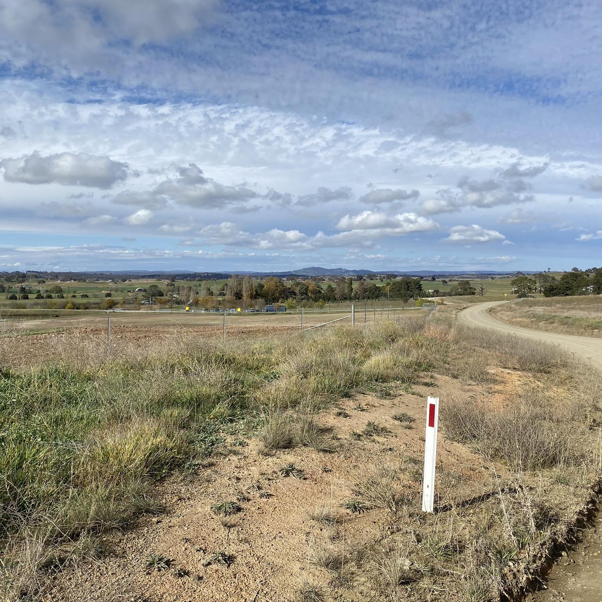
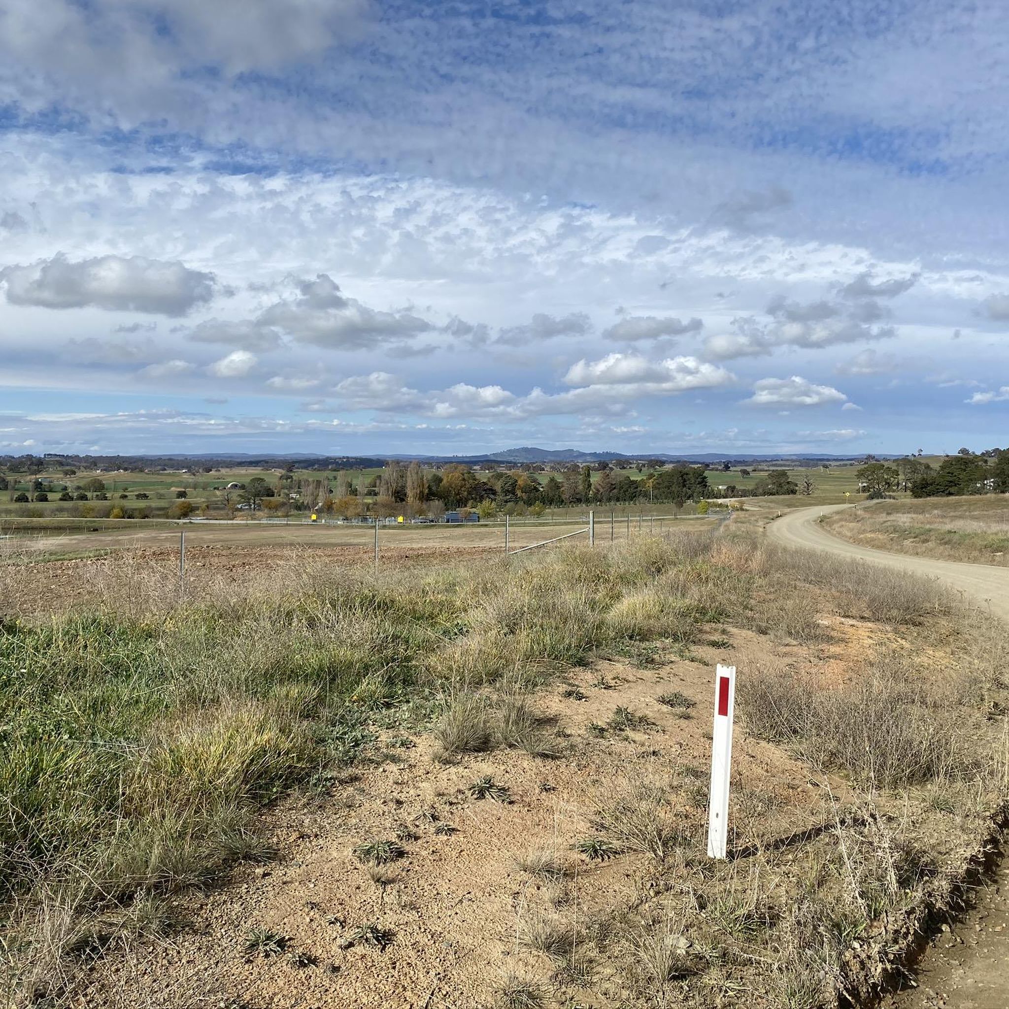
Road cycling in Mulligans Flat Nature Reserve offers routes through a 984-hectare woodland area in north-eastern Canberra. The terrain features a mix of management trails, some paved and others unpaved, suitable for various fitness levels. Cyclists can expect to traverse critically endangered Yellow Box–Blakely's Red Gum Grassy Woodlands and expansive open grasslands. Elevations on these routes can range from gentle inclines to more significant climbs.
Best road cycling routes in Mulligans Flat Nature Reserve
- The most popular road cycling route is View of Cotter Dam – Scrivener Dam loop from Gungahlin Place, a 56.0 miles (90.1 km) trail that takes 4 hours 20 minutes to complete. This route features over 2,600 feet of elevation gain.
- Another top favourite among local road cyclists is Majura Parkway Cycle Path – Dairy Flat Bridge loop from Mapleton Avenue, an easy 24.5 miles (39.4 km) path. This route offers a mix of well-paved surfaces and varied scenery, including open grasslands.
- Local road cyclists also love the Old Parliament House – Australian Parliament House loop from Gungahlin Place, a 40.9 miles (65.9 km) trail leading through urban and natural landscapes, often completed in about 3 hours 10 minutes.
- Road cycling in Mulligans Flat Nature Reserve is defined by protected woodlands, open grasslands, and management trails. The network offers options for different ability levels, from easy loops to more challenging rides with significant elevation.
- The routes in Mulligans Flat Nature Reserve are highly rated by the komoot community with an average score of 4.8 stars from over 36 reviews. More than 2,400 road cyclists have used komoot to explore Mulligans Flat Nature Reserve's varied terrain.
Last updated: November 18, 2026
5.0
(3)
352
riders
89.8km
04:17
810m
810m
Moderate road ride. Good fitness required. Mostly well-paved surfaces and easy to ride.
5.0
(2)
136
riders
39.4km
01:38
240m
240m
Easy road ride. Mostly well-paved surfaces and easy to ride.

68
riders
Moderate road ride. Good fitness required. Mostly well-paved surfaces and easy to ride.
3.0
(1)
38
riders
24.7km
01:00
90m
90m
Easy road ride. Mostly well-paved surfaces and easy to ride.
41
riders
57.0km
02:30
350m
350m
Moderate road ride. Good fitness required. Some segments of this route may be unpaved and difficult to ride.
Get access to more routes and recommendations from other explorers.
Already have an account?
Our route recommendations are based on thousands of hikes, rides, and runs completed by other people on komoot.
Start today with a free account
Your next adventure awaits.


Tips from the Community

Very nice area
5
0

This lookout sits near the summit of Red Hill, with expansive views across the capital and surrounding valleys. From here, you can see Parliament House and Lake Burley Griffin, with Mount Ainslie rising in the distance. To the west, the panorama stretches across Woden Valley and Weston Creek towards Mount Taylor. Several picnic tables nearby make it a perfect place to pause and take in the scenery.
0
0
The TARDIS is a concrete utility box near the top of Red Hill, painted to look like the time-travelling police box from Doctor Who. Its sudden appearance in 2014 caused a stir until it turned out to be the work of local street artist Geoff Filmer, commissioned by the local water utility after a Doctor Who fan on staff suggested the idea. Keep an eye out for the bright blue box, and stop for a photo if you’re a fan.
0
0
Scrivener Dam is a concrete gravity dam on the Molonglo River, completed in 1963, and is responsible for creating Lake Burley Griffin as a recreational and ornamental body of water. Named after surveyor Charles Scrivener, the dam is about 33 metres high and 319 metres long, with hydraulically operated fish‑belly flap gates that precisely control the lake levels and provide flood management capability. The dam also carries a roadway and the walking/cycling path, and helps form the backdrop to one of Canberra’s key engineering landmarks.
0
0
The Commonwealth Bridge is the major road crossing over Lake Burley Griffin, carrying six lanes of traffic plus a shared foot and cycle path between Canberra’s city centre and the Parliamentary Zone. It is an integral element of the lake’s heritage landscape, with beautiful views across the Molonglo River. The river runs roughly 115 kilometres from the Great Dividing Range through New South Wales into the Australian Capital Territory, where the Scrivener Dam impounds its waters to form Lake Burley Griffin. Historically rich in native fish and culturally important to local Aboriginal peoples, the river continues beyond Canberra to join the Murrumbidgee River as part of the larger Murray–Darling basin.
0
0
Yarralumla Bay District Park sits on the southern foreshore of Lake Burley Griffin, between Orana Bay and Blue Gum Point, with a sandy beach and designated areas for swimming, paddling, boating, and other water sports. The park includes shaded picnic areas right along the lake’s cycleway/walkway and has launching ramps, piers, and clubhouses for sailing and rowing activities. It is a popular spot for year-round lakeside walking and water‑based recreation.
0
0
The Lake Ginninderra Shared Path is a sealed multi-use route that loops around the shoreline of Lake Ginninderra through parklands, recreation areas, and sections of lakeside bushland. Popular with walkers, runners, and cyclists, the route offers continuous, beautiful views of the water the entire way, especially if you're here at sunset.
0
0
Emu Bank Bridge is a dedicated pedestrian and cycling bridge that crosses Lake Ginninderra, connecting the Belconnen Town Centre waterfront with parkland and walking paths on the opposite shore. As part of the lake’s shared path network, there are fantastic panoramic views across the water toward the surrounding suburbs and skyline of Belconnen.
0
0
Frequently Asked Questions
How many road cycling routes are available in Mulligans Flat Nature Reserve?
Mulligans Flat Nature Reserve offers a wide selection of road cycling routes, with over 60 options available. These routes cater to various skill levels, from easy rides to more challenging excursions.
What kind of terrain can I expect when road cycling in Mulligans Flat Nature Reserve?
You'll encounter a diverse range of terrain. While many management trails are well-paved and smooth, some segments might be unpaved or feature loose gravel, especially after rain. The landscape includes critically endangered Yellow Box–Blakely's Red Gum Grassy Woodlands and expansive open grasslands, offering varied scenery throughout your ride.
Are there road cycling routes suitable for beginners in Mulligans Flat Nature Reserve?
Yes, Mulligans Flat Nature Reserve has numerous routes suitable for beginners. For instance, the Majura Parkway Cycle Path – Dairy Flat Bridge loop from Mapleton Avenue is an easy 24.5-mile path with well-paved surfaces and gentle elevation changes, perfect for those new to road cycling in the area.
What are the more challenging road cycling options in Mulligans Flat Nature Reserve?
For experienced road cyclists seeking a challenge, routes like the View of Cotter Dam – Scrivener Dam loop from Gungahlin Place offer significant elevation gains, exceeding 2,600 feet over 56 miles, providing a rigorous workout.
What do other road cyclists enjoy most about Mulligans Flat Nature Reserve?
The area is highly rated by the komoot community, with an average score of 4.8 stars. Reviewers often praise the diverse landscapes, the opportunity to cycle through protected woodlands, and the mix of well-maintained and more natural trail sections that provide a varied experience.
Are there any loop trails for road cycling in Mulligans Flat Nature Reserve?
Yes, many road cycling routes in Mulligans Flat Nature Reserve are designed as loops, allowing you to start and finish at the same point. Examples include the Lake Ginninderra – Lake Ginninderra loop from Gungahlin Place, which is an easy 15.6-mile ride.
What natural features or landmarks can I see while cycling in Mulligans Flat Nature Reserve?
As you cycle, you can explore the critically endangered Yellow Box–Blakely's Red Gum Grassy Woodland, expansive open grasslands, and a large dam. The reserve is also home to the Mulligans Flat Woodland Sanctuary, a significant predator-proof enclosure actively reintroducing native species. You might also encounter remnants of historical huts and the Old Coach Road.
Is it possible to spot wildlife during a road cycling trip in Mulligans Flat Nature Reserve?
Absolutely. Mulligans Flat Nature Reserve is rich in biodiversity. Cyclists have a good chance of encountering kangaroos, wallabies, and a variety of bird species, especially during the mornings or late afternoons. The reserve is home to over 190 bird species, making it an excellent spot for birdwatching.
Are there family-friendly road cycling routes in Mulligans Flat Nature Reserve?
Yes, there are several family-friendly options. Routes with mostly well-paved surfaces and minimal elevation, such as the Majura Parkway Cycle Path – Dairy Flat Bridge loop from Mapleton Avenue, are suitable for families looking for a pleasant ride together.
What is the best time of year to go road cycling in Mulligans Flat Nature Reserve?
The reserve offers enjoyable cycling experiences year-round, but spring and autumn generally provide the most comfortable temperatures. Early mornings or late afternoons are ideal for wildlife spotting and to avoid the midday heat during warmer months.
Are there any amenities or cafes near the road cycling trails?
Yes, the Wildbark Visitor Centre is located on the edge of Mulligans Flat Nature Reserve. It offers amenities such as a cafe, a nature playground, and information about the reserve's conservation efforts, making it a convenient stop or starting point for your ride.
Is public transport available to Mulligans Flat Nature Reserve for cyclists?
While specific public transport routes directly into the reserve for cyclists might be limited, Canberra's public transport network can get you to nearby areas. It's advisable to check local bus routes and their bike carriage policies for the most up-to-date information on reaching the reserve's vicinity.
Are there designated parking areas for cyclists at Mulligans Flat Nature Reserve?
Yes, there are parking facilities available at various entry points and trailheads around Mulligans Flat Nature Reserve, making it convenient for cyclists to park their vehicles before starting their ride.
What is the policy on dogs in Mulligans Flat Nature Reserve?
Mulligans Flat Nature Reserve is a protected area focused on wildlife conservation. Generally, dogs are not permitted within the reserve to protect native wildlife, especially within the predator-proof sanctuary. It's always best to check the official reserve guidelines for the most current regulations regarding pets.
Most popular routes in Mulligans Flat Nature Reserve

Get inspired with the komoot mobile app


Explore more
Browse the best Road cycling routes in other regions.
