The best gravel rides in Cota
5.0
(11)
201
riders
14
rides
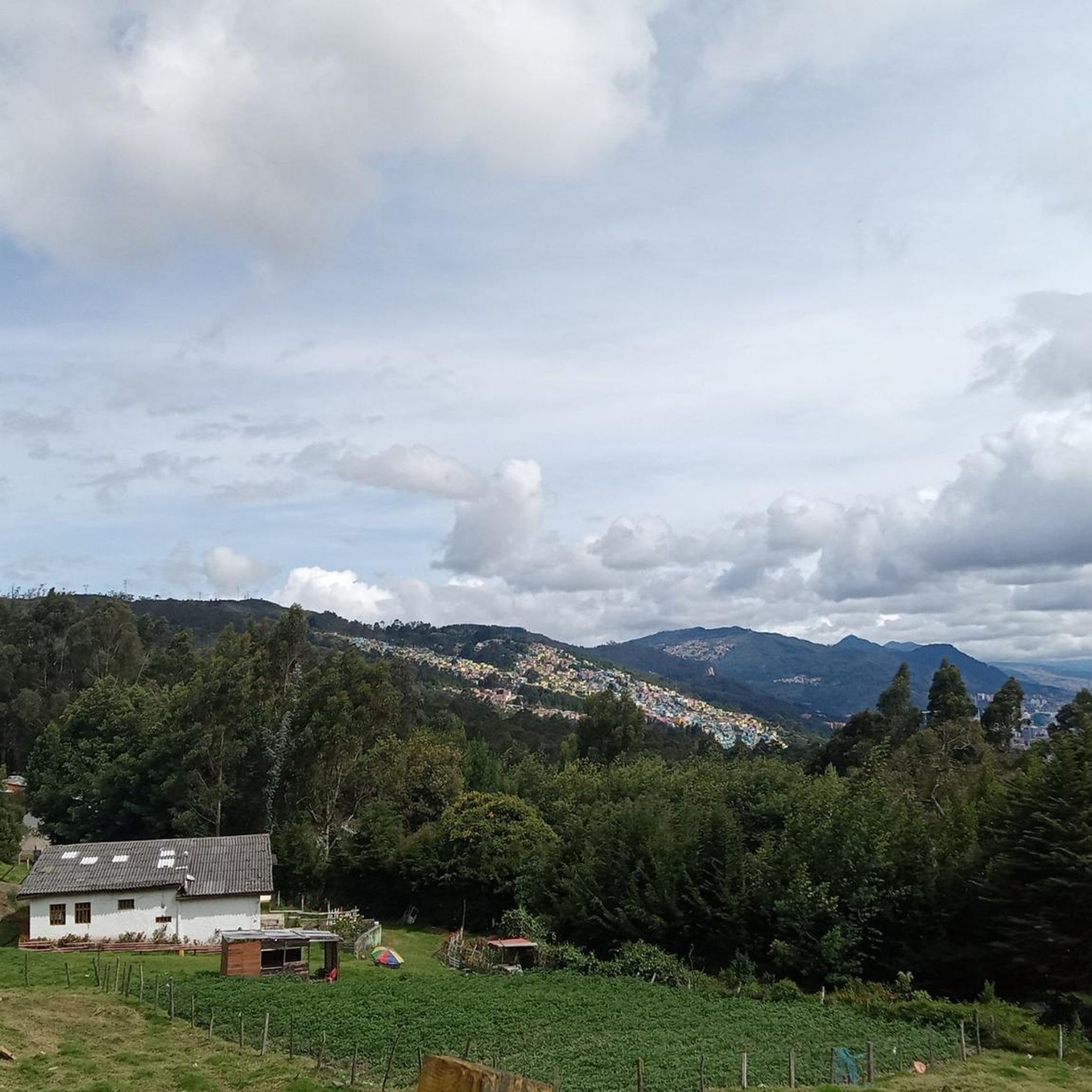
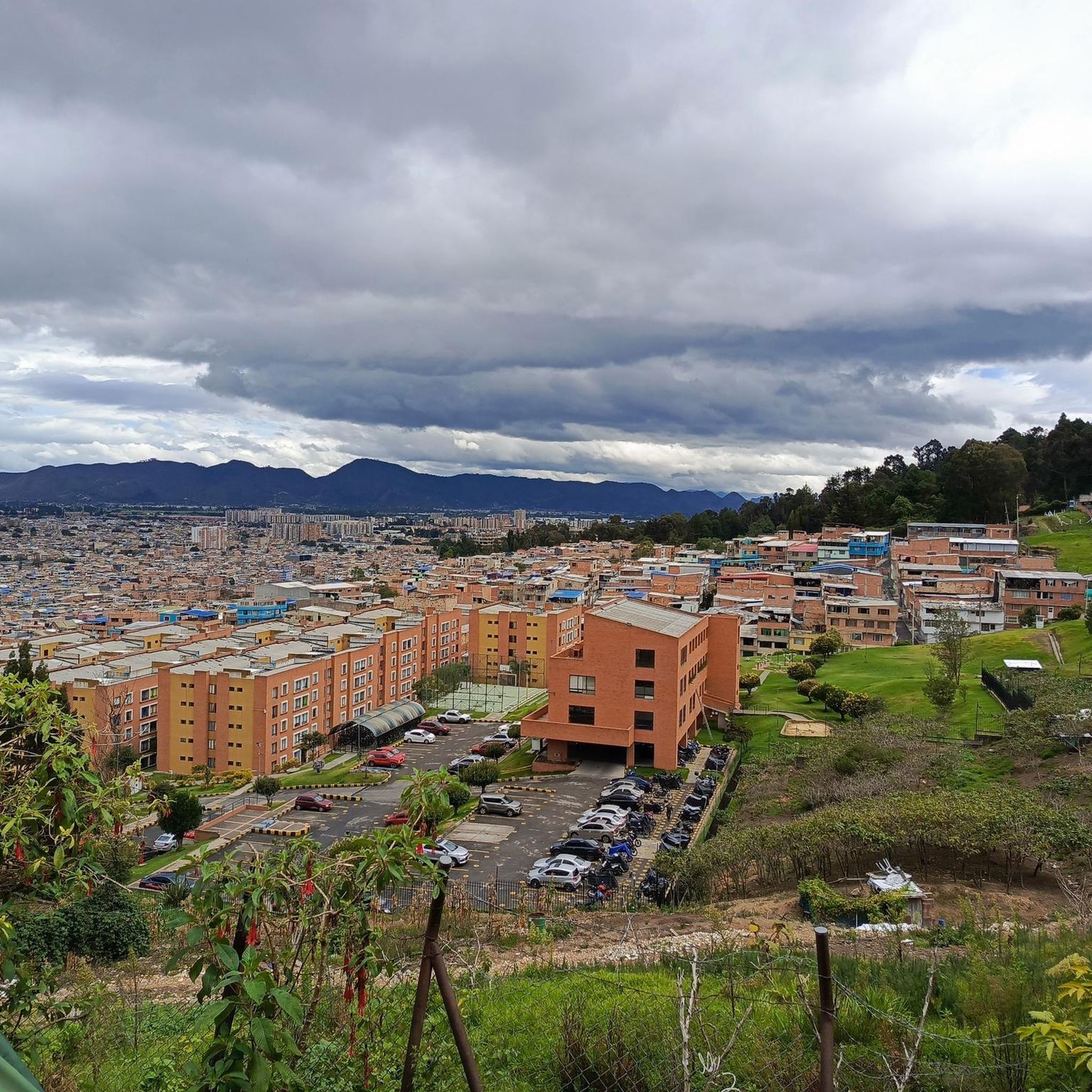
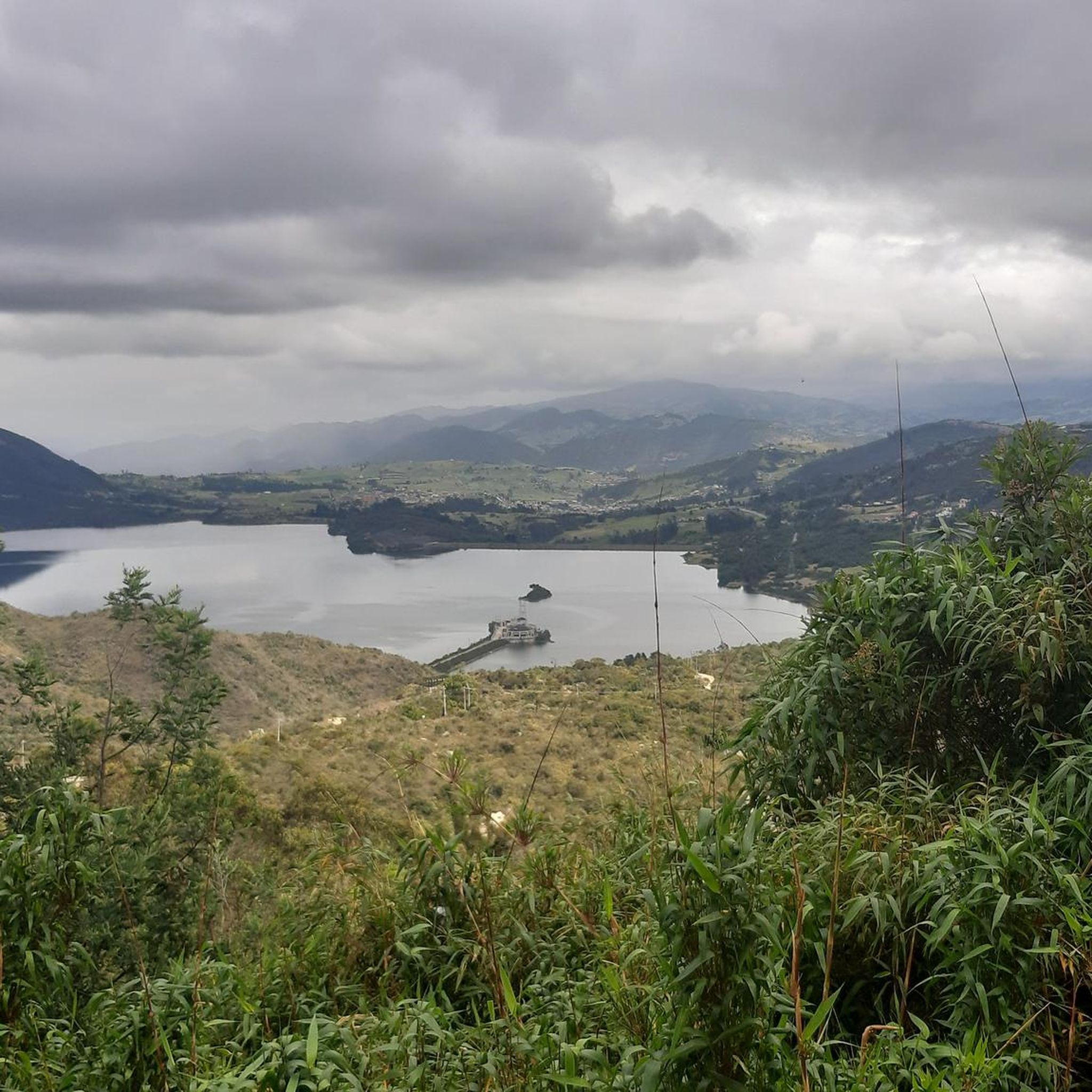
Gravel biking in Cota offers a variety of routes through diverse terrain. The region features undulating landscapes with significant elevation changes, ranging from moderate climbs to more challenging ascents. Riders can expect to encounter a mix of natural surfaces, including unpaved roads and trails, often leading through areas with views of the surrounding countryside.
Best gravel bike trails in Cota
- The most popular gravel bike trail is Alto de la Valvanera – Welcome Sign to Tabio loop from Chía,…
Last updated: July 3, 2026
5.0
(2)
43
riders
27.4km
02:14
410m
410m
Moderate gravel ride. Good fitness required. Mostly paved surfaces. Suitable for all skill levels.
5.0
(4)
38
riders
28.5km
02:17
410m
410m
Moderate gravel ride. Good fitness required. Mostly paved surfaces. Suitable for all skill levels.

Sign up for free
5.0
(2)
19
riders
60.4km
04:39
970m
970m
Hard gravel ride. Very good fitness required. Mostly paved surfaces. Suitable for all skill levels.
5.0
(1)
16
riders
26.0km
02:08
510m
510m
Hard gravel ride. Very good fitness required. Mostly paved surfaces. Suitable for all skill levels.
17
riders
84.3km
05:35
920m
920m
Hard gravel ride. Very good fitness required. Mostly paved surfaces. Suitable for all skill levels.
Get access to more routes and recommendations from other explorers.
Sign up for free
Already have an account?
Our route recommendations are based on thousands of hikes, rides, and runs completed by other people on komoot.
Start today with a free account
Your next adventure awaits.
Login or Signup
Tips from the Community

Excellent route
0
0

A place to climb.
0
0

3km climb with a 6.6% slope 1.5 km of footprint plate 1.5 km unpaved road road that connects the municipalities of Tenjo and Chía
0
0

The view is very good, and it is worth going up
0
0


The smoothest climb from Chia
0
0

The route sends you through a wall on the way up to the valvanera If you go 200 more meters you go up another with more curves and you don't spend as much
0
0
Frequently Asked Questions
What kind of terrain can I expect on gravel bike trails in Cota?
Gravel biking in Cota features undulating landscapes with significant elevation changes, ranging from moderate climbs to more challenging ascents. You'll encounter a mix of natural surfaces, including unpaved roads and trails, often with scenic views of the surrounding countryside.
Are there any easy or beginner-friendly gravel bike trails in Cota?
While Cota's gravel trails are generally characterized by significant elevation changes, there are moderate options available. For instance, the Alto de la Valvanera – Welcome Sign to Tabio loop from Chía is a moderate 27.3 km route with about 410 meters of elevation gain, suitable for those comfortable with some climbing.
How many gravel bike routes are available in Cota?
There are over 15 gravel bike routes in Cota, offering a variety of experiences. These include both moderate and difficult options, catering to different skill levels.
What is the typical duration for gravel bike routes in Cota?
Route durations vary depending on distance and elevation. Moderate trails like the Alto de la Valvanera – Welcome Sign to Tabio loop from Ciudad de Tenjo typically take around 2 hours 17 minutes. Longer, more difficult routes, such as the Welcome Sign to Tabio – Lourdes Church loop from La Caro, can take over 4 hours 30 minutes to complete.
Are there any circular gravel bike routes in Cota?
Yes, many of the popular gravel bike trails in Cota are circular. Examples include the Alto de la Valvanera – Welcome Sign to Tabio loop from Chía and the View of Chía from Valvanera – Alto de la Valvanera loop from El Rosario, allowing you to start and end at the same point.
What do other gravel bikers say about the trails in Cota?
The gravel biking routes in Cota are highly rated by the komoot community, with an average score of 5.0 stars from 11 reviews. Over 200 gravel bikers have explored the varied terrain, often praising the challenging ascents and scenic views.
Are there any specific climbs or scenic points to look out for on Cota's gravel routes?
Yes, Cota's routes feature notable climbs and scenic areas. You might encounter sections like Alto de Canicas and the Yerbabuena Climb. The region itself offers views of the surrounding countryside, especially from higher elevations.
Are there any routes suitable for advanced gravel cyclists looking for a challenge?
Absolutely. Cota offers several difficult routes with significant elevation gain. The Welcome Sign to Tabio – Lourdes Church loop from La Caro, at 61.0 km with over 965 meters of ascent, is a challenging option. For an even longer ride, consider the 82.1 km Alto de la Valvanera – Welcome Sign to Tabio loop from La Caro.
What is the best season for gravel biking in Cota?
While specific seasonal recommendations depend on local weather patterns, Cota's diverse terrain with unpaved roads suggests that dry seasons would generally be more favorable for gravel biking, offering better trail conditions and clearer views. Always check local weather forecasts before heading out.
Are there any facilities or points of interest along the gravel routes in Cota?
While the routes primarily focus on natural landscapes, some areas may have facilities. For example, the El Edén Shopping Center is a highlight in the broader Cota area, which could be a stop for amenities depending on your chosen route's proximity.
What are the current conditions of the gravel trails in Cota?
Current trail conditions can vary based on recent weather. Given the mix of unpaved roads and trails, conditions can range from dry and firm to muddy after rain. It's always recommended to check local weather reports and recent community updates on komoot for the most current information before your ride.
Most popular attractions in Cota

Get inspired with the komoot mobile app


Explore more
Browse the best Gravel rides in other regions.
