The best MTB trails in Cota
4.7
(487)
3,036
riders
70
rides
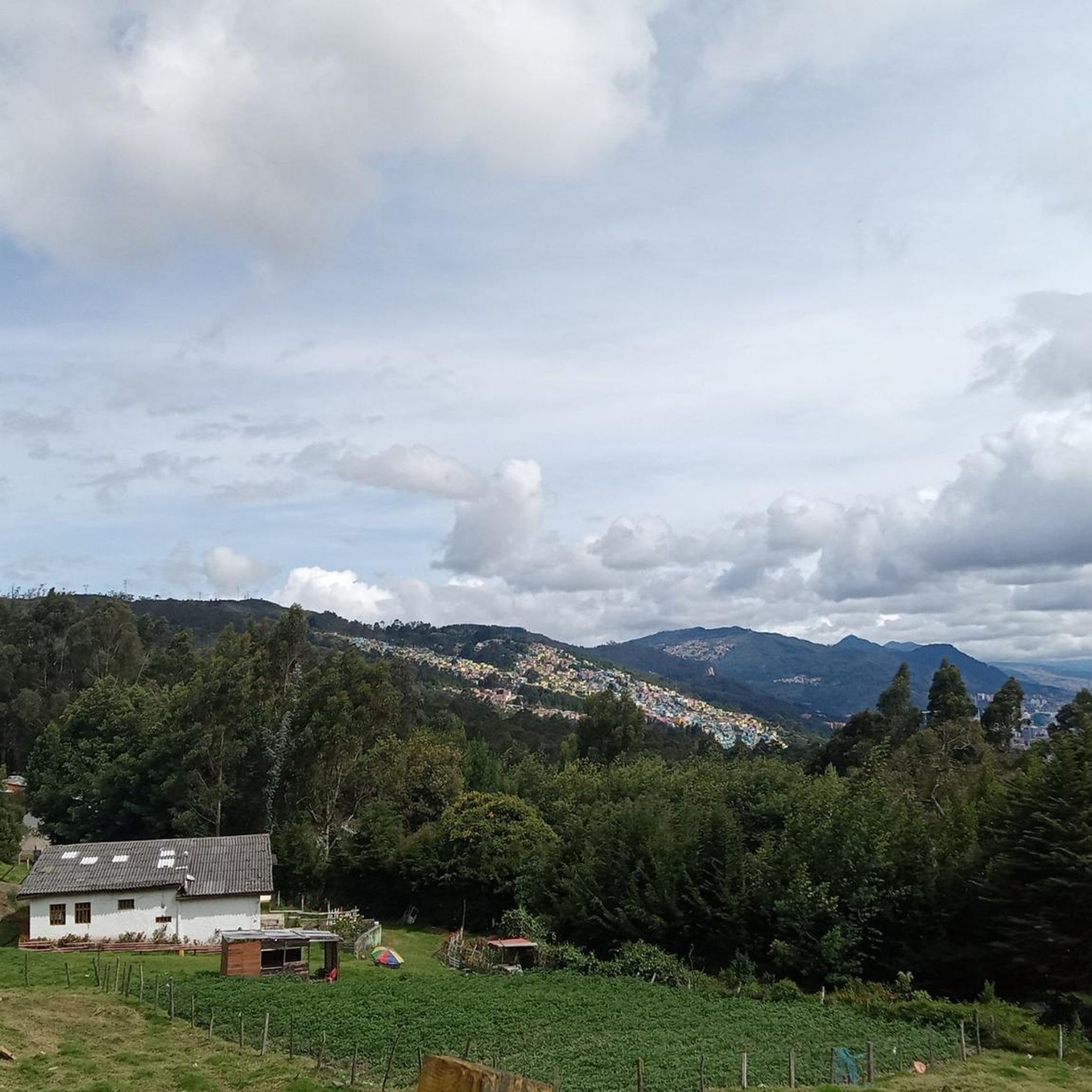
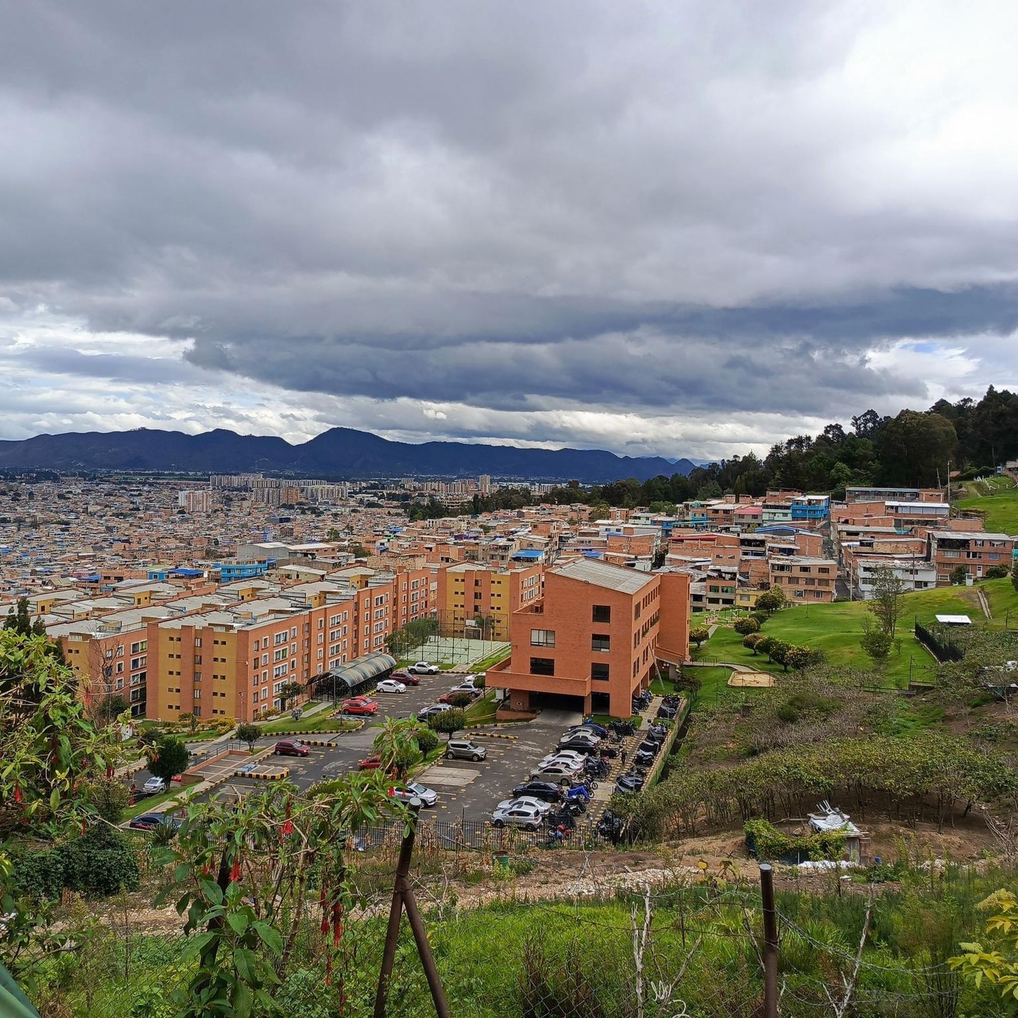
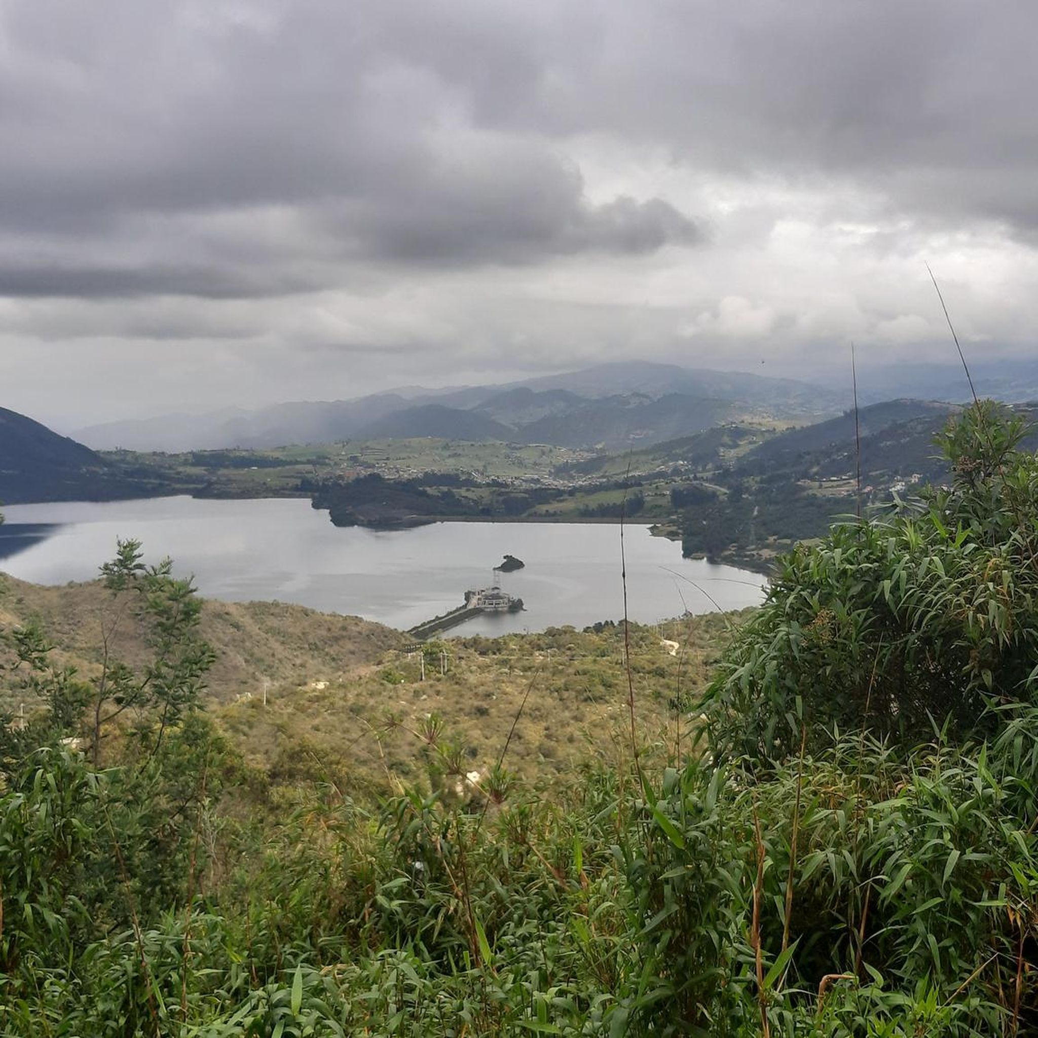
Mountain bike trails in Cota are situated in the Cundinamarca region of Colombia, near Bogotá. The area features diverse terrain with significant elevation changes, characteristic of the Andean foothills. Riders can expect routes that traverse high Andean páramos and cloud forests, offering varied challenges and scenic viewpoints. The landscape includes both demanding climbs and descents, suitable for different skill levels.
Best mountain bike trails in Cota
- The most popular mountain bike trail is Alto de la Valvanera – View of…
Last updated: June 29, 2026
4.8
(8)
90
riders
80.4km
05:59
1,350m
1,350m
Hard mountain bike ride. Very good fitness required. Suitable for all skill levels.
5.0
(6)
96
riders
49.8km
03:59
1,010m
1,010m
Hard mountain bike ride. Very good fitness required. Suitable for all skill levels.

Sign up for free
5.0
(11)
83
riders
46.1km
03:18
530m
530m
Moderate mountain bike ride. Good fitness required. Suitable for all skill levels.
4.8
(12)
62
riders
61.5km
03:54
700m
700m
Moderate mountain bike ride. Good fitness required. Suitable for all skill levels.
4.8
(4)
53
riders
70.2km
03:49
390m
390m
Moderate mountain bike ride. Good fitness required. Suitable for all skill levels.
Get access to more routes and recommendations from other explorers.
Sign up for free
Already have an account?
Our route recommendations are based on thousands of hikes, rides, and runs completed by other people on komoot.
Start today with a free account
Your next adventure awaits.
Login or Signup
Tips from the Community

Excellent route
0
0

A place to climb.
0
0

Excellent place, a bike ride through the Zipaquira salt cathedral... if you go from Bogotá you should leave with time... from Usme cycling between 25 to 28 km/h with 2 stops, it took us 3 hours and 20 minutes...
0
0

3km climb with a 6.6% slope 1.5 km of footprint plate 1.5 km unpaved road road that connects the municipalities of Tenjo and Chía
0
0

The view is very good, and it is worth going up
0
0

The smoothest climb from Chia
0
0
Just a point in the border of Bogota and the outskirts
0
0
Frequently Asked Questions
How many mountain bike trails are there in Cota?
Cota offers a wide selection of mountain bike trails, with over 70 routes available on komoot. These range from easy rides to challenging, multi-hour adventures through the Andean foothills.
Are there mountain bike trails suitable for beginners or families in Cota?
Yes, Cota has several options for less experienced riders. There are 9 easy mountain bike routes available, providing a gentler introduction to the region's diverse terrain. While specific family-friendly routes aren't explicitly detailed, these easier trails are a good starting point.
What kind of terrain can I expect on Cota's mountain bike trails?
Cota's mountain bike trails are characterized by diverse terrain, including significant elevation changes typical of the Andean foothills. You can expect to ride through high Andean páramos and cloud forests, with routes featuring both demanding climbs and descents. The landscape offers varied challenges and scenic viewpoints.
Are there any loop trails for mountain biking in Cota?
Yes, many of Cota's mountain bike routes are designed as loops. For example, the Alto de la Valvanera – View of Canicas Valley loop from Suba Compartir is a challenging 50-mile loop, and the View of Chía from Valvanera – Alto de la Valvanera loop from Cota offers panoramic views on a 30.9-mile loop.
What are some of the more challenging mountain bike routes in Cota?
Cota is known for its challenging routes. Notable difficult trails include the Alto de la Valvanera – View of Canicas Valley loop from Suba Compartir, which is 50 miles long with over 1350 meters of elevation gain, and the View of Chía from Valvanera – Alto de la Valvanera loop from Cota, a 30.9-mile route with over 1000 meters of ascent.
What do other mountain bikers say about the trails in Cota?
The mountain bike trails in Cota are highly regarded by the komoot community, holding an average rating of 4.7 stars from over 450 reviews. Riders frequently praise the diverse Andean landscapes, significant elevation changes, and the variety of routes suitable for different skill levels.
Are there any viewpoints or attractions along the mountain bike trails in Cota?
Yes, the region offers scenic views and points of interest. For instance, the View of Chía from Valvanera – Alto de la Valvanera loop from Cota provides panoramic vistas of Chía. Other notable attractions in the area include Alto de Canicas and the Yerbabuena Climb, which are popular spots for cyclists.
What is the best season for mountain biking in Cota?
Mountain biking in Cota is generally enjoyable year-round, but the dry seasons typically offer the most favorable conditions. It's always advisable to check local weather forecasts before heading out, as conditions in the Andean region can change rapidly.
Is public transport available to reach the mountain bike trails in Cota?
While specific public transport routes directly to trailheads are not detailed, Cota is located near Bogotá, and local bus services often connect surrounding towns. It's recommended to research local transport options from Bogotá to Cota, and then consider a short taxi or ride-share to the desired trailhead.
Are there places to eat or drink near the mountain bike trails in Cota?
Cota and its surrounding areas offer various local establishments where you can find food and drinks. While specific cafes directly at trailheads are not listed, you'll find options in the town of Cota itself and nearby communities to refuel after your ride.
Are permits required for mountain biking on trails in Cota?
There is no information indicating that permits are generally required for mountain biking on the public trails in Cota, Colombia. However, it's always good practice to respect private property and any posted signage, especially when exploring less-trafficked areas.
Can I find moderate mountain bike trails in Cota?
Absolutely. Cota features 30 moderate mountain bike routes, offering a good balance of challenge and accessibility. An example is the Lourdes Church – Welcome Sign to Tabio loop from El Rosario, a 28.6-mile trail that takes about 3 hours and 17 minutes to complete.
Most popular attractions in Cota

Get inspired with the komoot mobile app


Explore more
Browse the best MTB trails in other regions.
