The best gravel rides in Bogotá D.C.
5.0
(12)
232
riders
17
rides
Gravel biking in Bogotá D.C. offers diverse terrain shaped by its unique Andean geography, featuring landscapes from high-altitude páramos to lush cloud forests. The region is characterized by a vast network of unpaved roads, providing challenging and scenic routes for cyclists. Significant elevation gains are common, with routes traversing varied mountain environments. This topography supports year-round riding across different altitudes.
Best gravel bike trails in Bogotá D.C.
- The most popular gravel bike trail is Patios Summit – Alto El Once…
Last updated: July 3, 2026
5.0
(2)
43
riders
27.4km
02:14
410m
410m
Moderate gravel ride. Good fitness required. Mostly paved surfaces. Suitable for all skill levels.
5.0
(2)
19
riders
60.4km
04:39
970m
970m
Hard gravel ride. Very good fitness required. Mostly paved surfaces. Suitable for all skill levels.

Sign up for free
5.0
(1)
16
riders
26.0km
02:08
510m
510m
Hard gravel ride. Very good fitness required. Mostly paved surfaces. Suitable for all skill levels.
12
riders
96.2km
07:59
2,470m
2,470m
Hard gravel ride. Very good fitness required. Mostly paved surfaces. Suitable for all skill levels.
17
riders
84.3km
05:35
920m
920m
Hard gravel ride. Very good fitness required. Mostly paved surfaces. Suitable for all skill levels.
11
riders
73.9km
05:29
1,450m
1,450m
Hard gravel ride. Very good fitness required. Mostly paved surfaces. Suitable for all skill levels.
11
riders
29.5km
02:21
670m
670m
Hard gravel ride. Very good fitness required. Mostly paved surfaces. Suitable for all skill levels.
Get access to more routes and recommendations from other explorers.
Sign up for free
Already have an account?
Our route recommendations are based on thousands of hikes, rides, and runs completed by other people on komoot.
Start today with a free account
Your next adventure awaits.
Login or Signup
Popular around Bogotá D.C.
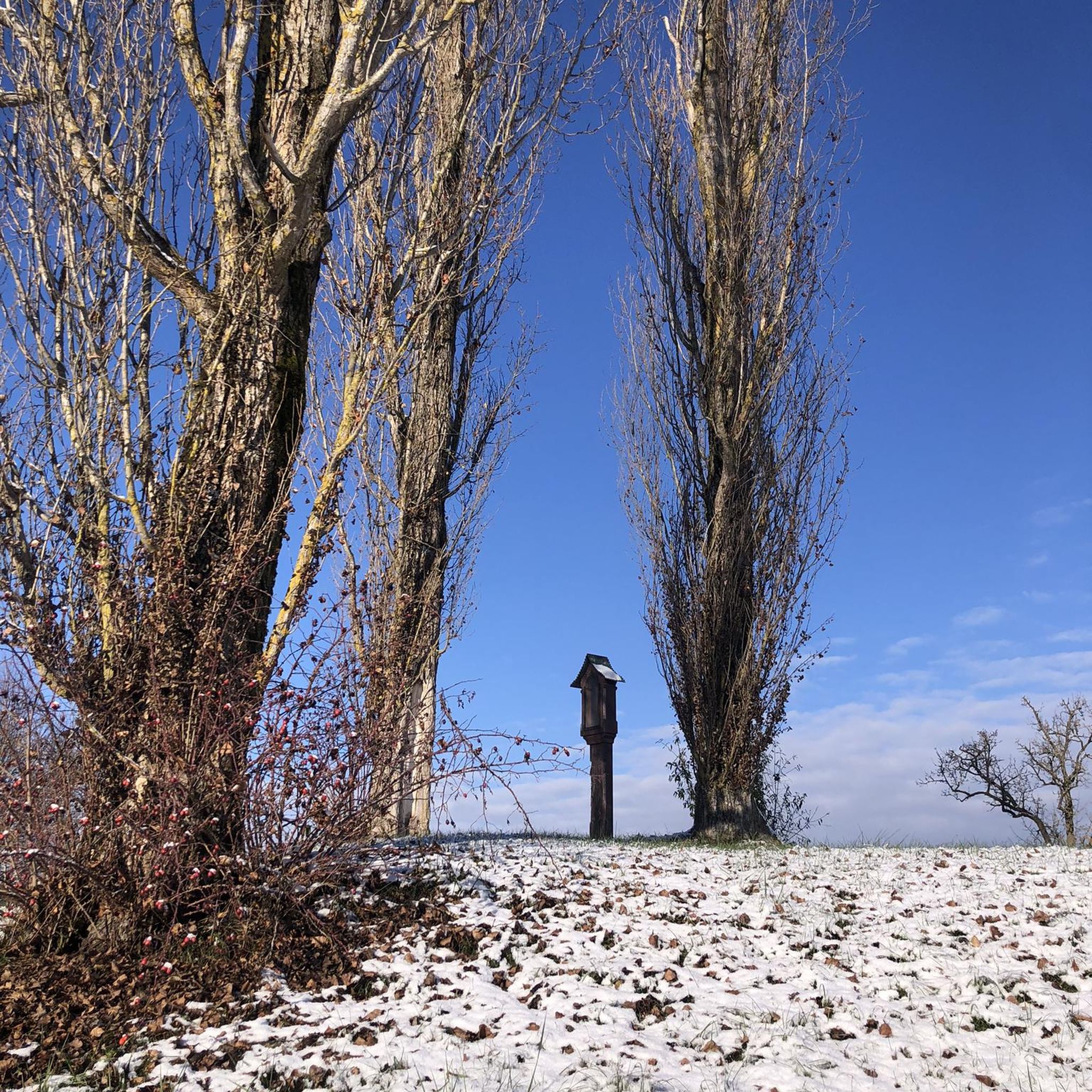
Gravel biking in Reserva Forestal Bosque Oriental De Bogotá
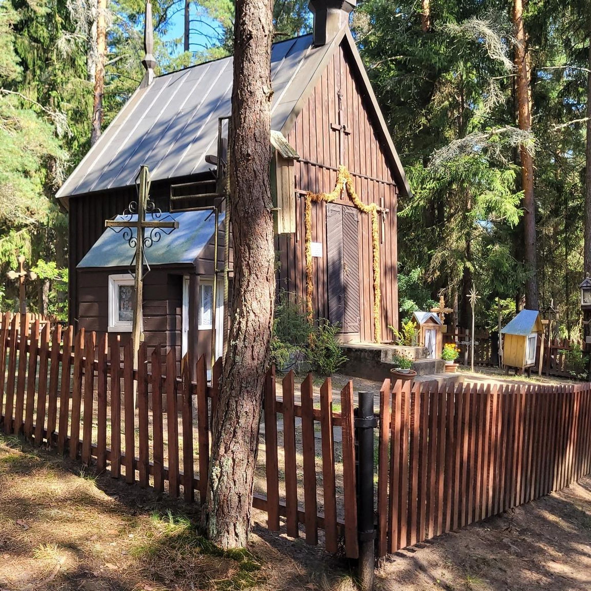
Gravel biking in Reserva Forestal Thomas Van Der Hammen

Chingaza Loop – Bikepacking Colombia Scouting

South American Epic — From Cartagena to Ushuaia
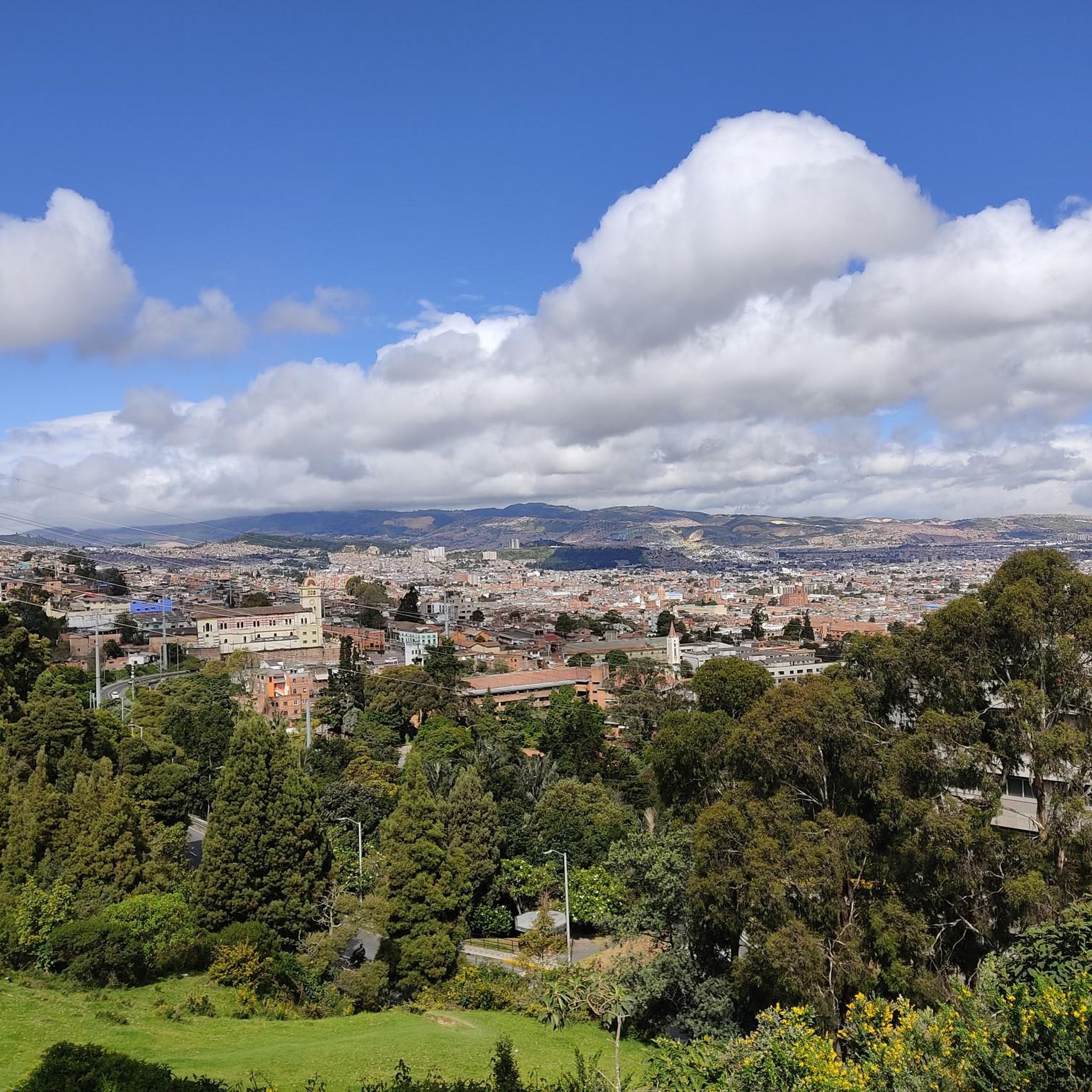
Hiking in Bogotá D.C.
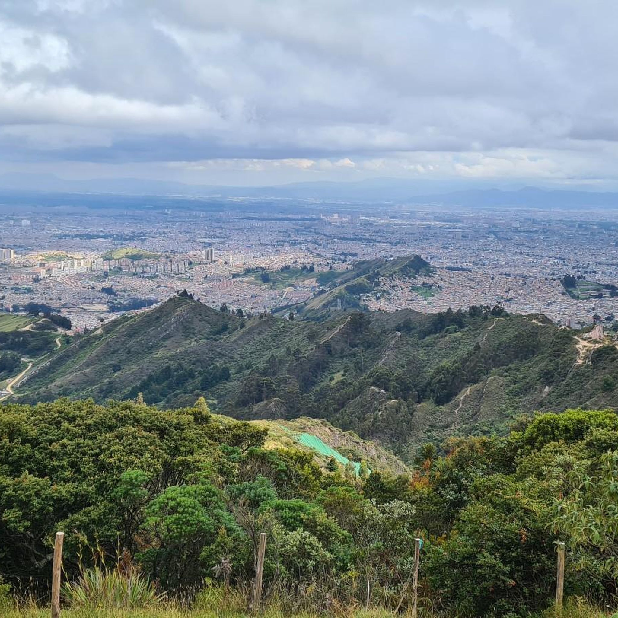
Cycling in Bogotá D.C.
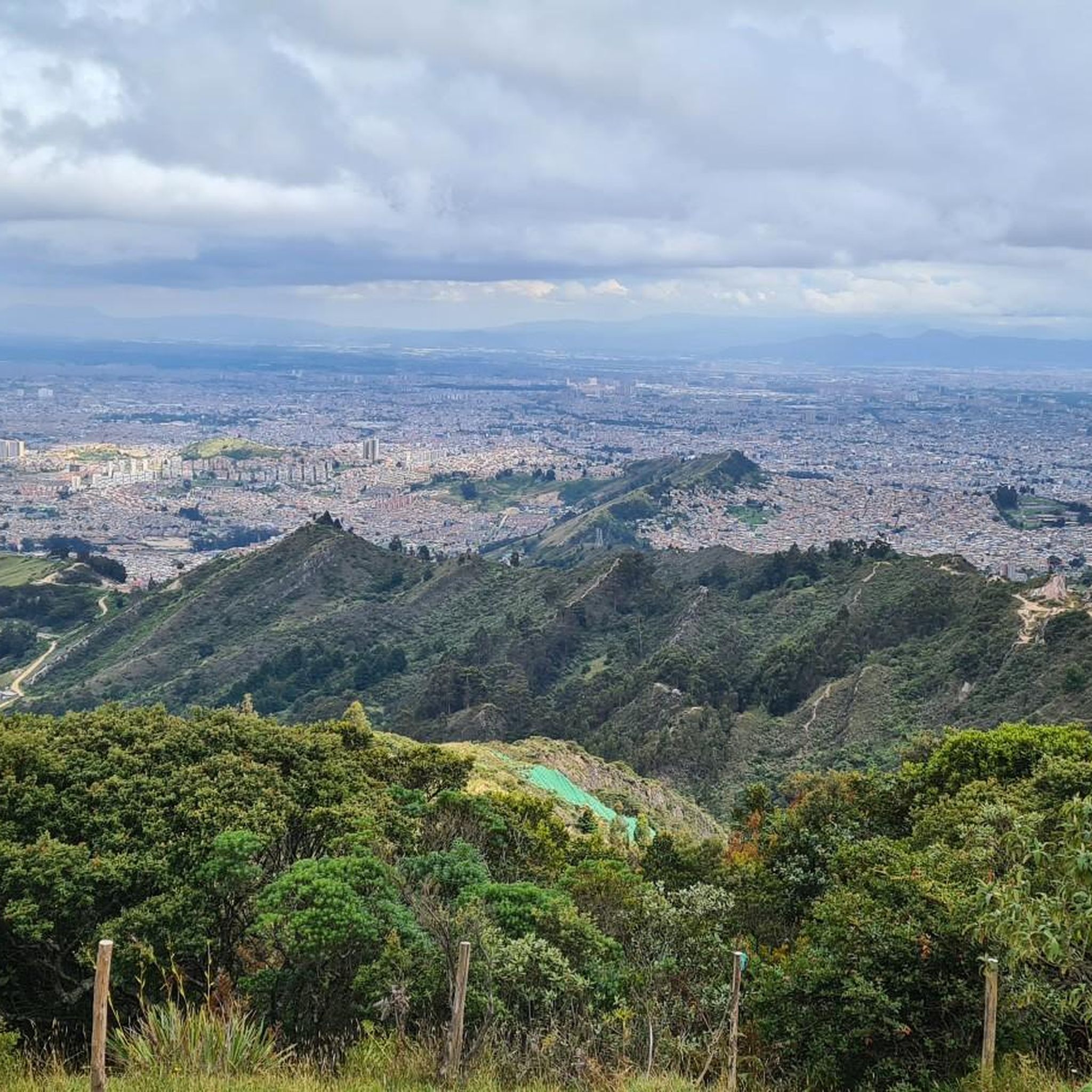
Road Cycling Routes in Bogotá D.C.
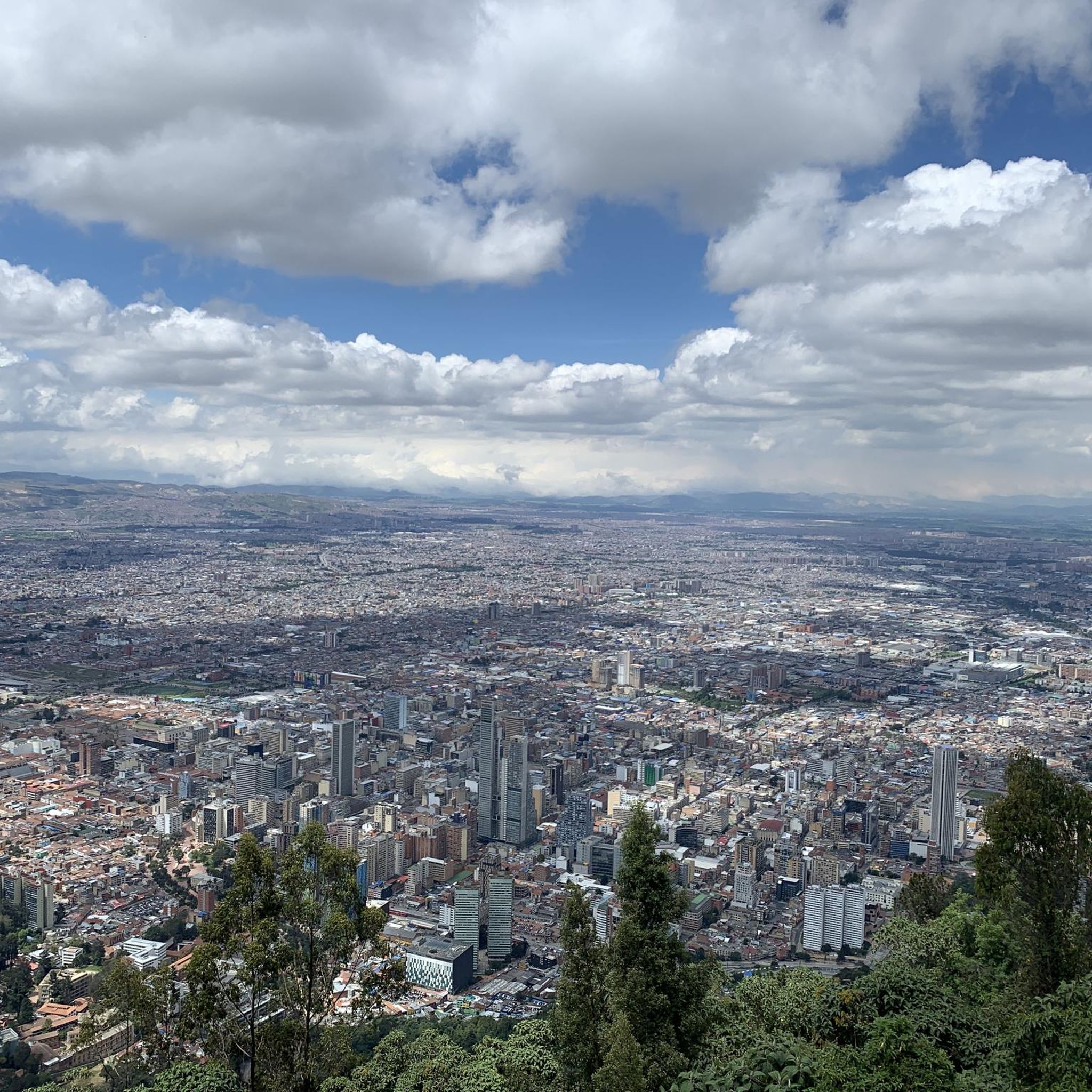
Running Trails in Bogotá D.C.
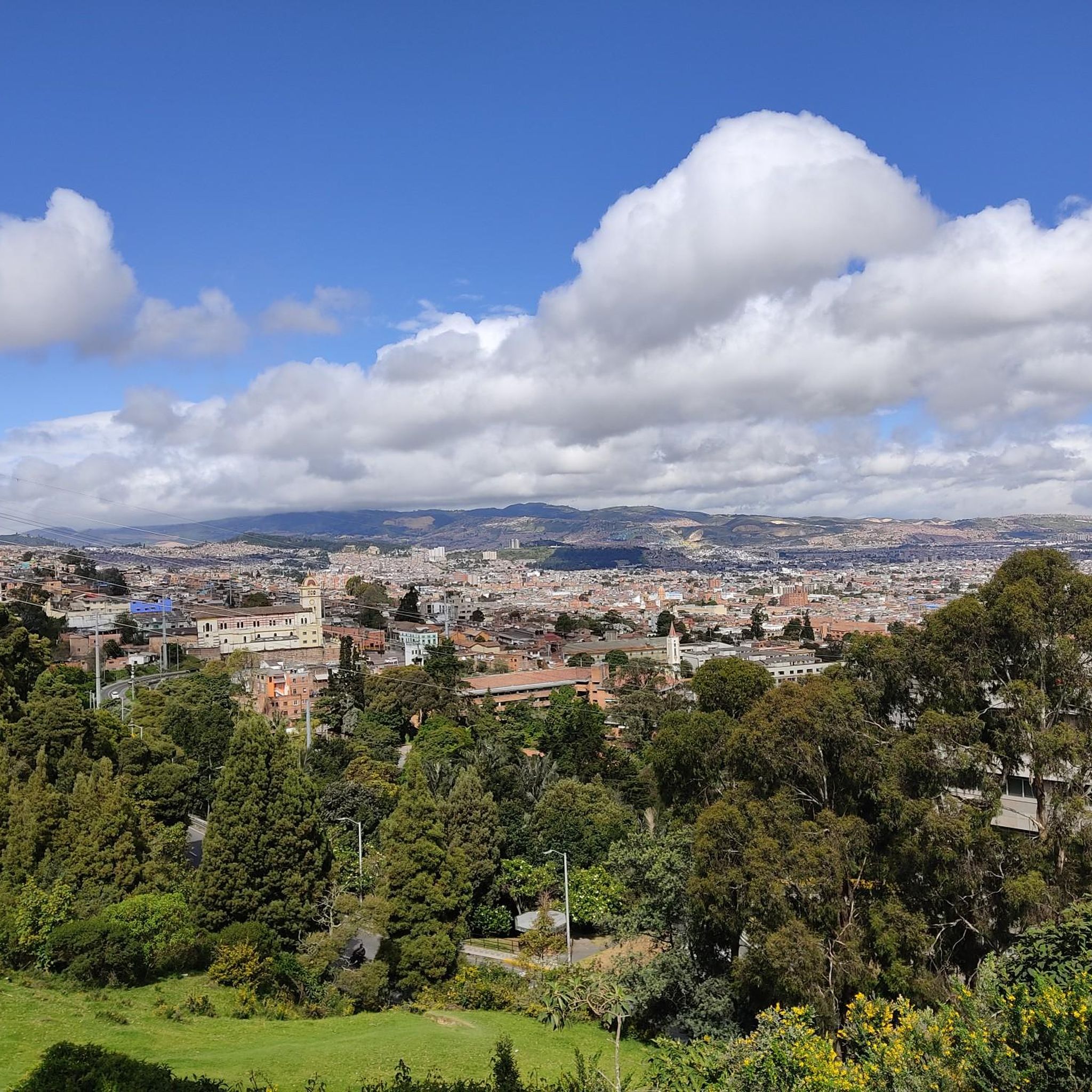
MTB Trails in Bogotá D.C.


Tips from the Community

Alto de los Patios offers countless dining options to enjoy Bogotá's sporting atmosphere. The area is usually very busy.
1
0


end of the climb, it's good to have a drink and regain strength
0
0

Excellent route
0
0

A place to climb.
0
0

Excellent ride to test your willpower and physical fitness.
0
0
Frequently Asked Questions
What kind of terrain can I expect on gravel bike trails in Bogotá D.C.?
Gravel biking in Bogotá D.C. offers diverse terrain due to its Andean geography. You'll encounter everything from high-altitude páramos to lush cloud forests, with a vast network of unpaved roads. Expect significant elevation gains and varied mountain environments, providing challenging and scenic routes.
How many gravel bike routes are available in Bogotá D.C.?
There are nearly 20 gravel bike routes available in Bogotá D.C. on komoot, catering to various fitness levels. Most of these, about 14, are classified as difficult, while 5 are moderate.
What are some challenging gravel bike routes for experienced riders?
For experienced riders seeking a challenge, the Patios Summit – Alto El Once loop from Estación Usaquén is a demanding option, spanning 96.2 km with substantial elevation gain. Another difficult route is the Welcome Sign to Tabio – Lourdes Church loop from La Caro, which covers 61.0 km.
Are there any moderate gravel bike trails in Bogotá D.C.?
Yes, there are moderate options available. The Alto de la Valvanera – Welcome Sign to Tabio loop from Chía is a moderate 27.3 km path, offering a balanced ride through the Andean foothills with varied terrain. Another moderate choice is the Welcome Sign to Tabio – Welcome Sign to Tabio loop from La Caro, which is 39.6 km long.
What natural features or landmarks can I see along the gravel routes?
Bogotá D.C. and its surroundings are rich in natural beauty. You can explore unique high-altitude páramos like those in Chingaza National Natural Park or Matarredonda Ecological Park. Cloud forests, such as Chicaque Natural Park, are also accessible. Iconic landmarks like Monserrate Hill offer panoramic views, and you might even encounter stunning waterfalls like La Chorrera near Choachí.
Are there any lakes or reservoirs accessible from gravel biking areas?
Yes, the region features several significant water bodies. You can find highlights like the historically and culturally significant Chisacá Lagoon within Sumapaz National Natural Park, or the La Regadera Reservoir. The View of Embalse San Rafael is another notable point of interest.
What do other gravel bikers say about the routes in Bogotá D.C.?
The gravel biking routes in Bogotá D.C. are highly rated by the komoot community, with an average score of 5.0 stars from over 12 reviews. Over 250 gravel bikers have used komoot to explore the varied terrain, often praising the challenging climbs and scenic beauty of the Andean landscapes.
When is the best time of year for gravel biking in Bogotá D.C.?
The country's topography allows for year-round riding. Temperatures vary significantly based on altitude, meaning you can experience diverse conditions, from warmer lowlands to cooler mountain tops, sometimes within a single day. This offers flexibility for planning your rides throughout the year.
Are there any circular gravel routes available?
Many of the gravel routes in Bogotá D.C. are designed as loops. For instance, the Welcome Sign to Tabio – Welcome Sign to Tabio loop from El Rosario is a 29.5 km circular trail. Another option is the View of Chía from Valvanera – Alto de la Valvanera loop from Chía, a 35.0 km loop.
What is the cycling culture like in Bogotá D.C.?
Bogotá D.C. has a deep-rooted cycling tradition. This is evident in the popular Ciclovía, where over 100 kilometers of city roads are closed to vehicular traffic on Sundays, dedicated solely to cyclists and pedestrians. This strong culture, combined with the challenging terrain, makes it a favored training ground for professional cyclists and a welcoming place for enthusiasts.
Are there opportunities to see unique flora and fauna while gravel biking?
Absolutely. The region's diverse ecosystems, from páramos to cloud forests, are home to unique flora like the frailejones in the páramos. Cloud forests, such as Chicaque Natural Park, are teeming with diverse wildlife, including howler monkeys and over 100 bird species, offering excellent opportunities for nature observation.
Most popular routes in Bogotá D.C.
Most popular attractions in Bogotá D.C.

Get inspired with the komoot mobile app


Didn’t find what you were looking for?
Check out more Gravel rides throughout Bogotá D.C. below and find the perfect route in your destination.
Explore more
Browse the best Gravel rides in other regions.
