The best road cycling routes in Bogotá D.C.
4.7
(602)
13,378
riders
48
rides
Road cycling in Bogotá D.C. offers a diverse and challenging environment, characterized by its high-altitude setting in the Andes Mountains. The region features significant elevation changes, with routes often involving substantial climbs into the surrounding mountainous terrain. Cyclists can expect a landscape composed of urban routes, winding mountain roads, and views extending over the city and into cloud forests and páramos. This unique geography provides varied road cycling experiences for different skill levels.
Best road cycling routes in Bogotá D.C.
- The most popular road cycling route is Salitre–Guasquita Climb – Alto de La Cuchilla loop from Estación 15, a 71.5 miles (115.0 km) trail that takes 6 hours 15 minutes to complete. This difficult route features substantial elevation gain through mountainous terrain.
- Another top favourite among local road cyclists is Alto de Patios – View of Bogotá from Patios loop from Estación 10, a difficult 61.1 miles (98.3 km) path. This route includes the iconic Alto de Patios climb, offering panoramic views of Bogotá.
- Local road cyclists also love the View of Bogotá from Patios – Patios Summit loop from Calle 45, a 14.1 miles (22.8 km) trail leading through the Patios area, often completed in about 1 hour 20 minutes.
- Road cycling in Bogotá D.C. is defined by high-altitude mountain climbs, urban routes, and scenic views over the city and surrounding Andean landscapes. The network offers options for various ability levels, from moderate paths to challenging ascents.
- The routes in Bogotá D.C. are highly rated by the komoot community with an average score of 4.8 stars from over 450 reviews. More than 7,700 road cyclists have used komoot to explore Bogotá D.C.'s varied terrain.
Last updated: June 29, 2026
4.9
(20)
1,180
riders
115km
06:15
2,330m
2,330m
Hard road ride. Very good fitness required. Mostly well-paved surfaces and easy to ride.
4.8
(142)
1,045
riders
66.2km
03:17
710m
710m
Moderate road ride. Good fitness required. Mostly well-paved surfaces and easy to ride.

Sign up for free
4.6
(10)
635
riders
98.3km
06:34
2,850m
2,850m
Hard road ride. Very good fitness required. Some segments of this route may be unpaved and difficult to ride.
4.7
(36)
744
riders
23.4km
01:24
530m
530m
Moderate road ride. Good fitness required. Mostly well-paved surfaces and easy to ride.
5.0
(4)
402
riders
131km
06:33
1,860m
1,860m
Hard road ride. Very good fitness required. Mostly well-paved surfaces and easy to ride.
4.6
(9)
271
riders
114km
06:05
2,050m
2,050m
Hard road ride. Very good fitness required. Some segments of this route may be unpaved and difficult to ride.
5.0
(3)
260
riders
154km
07:40
1,830m
1,840m
Hard road ride. Very good fitness required. Some segments of this route may be unpaved and difficult to ride.
4.7
(38)
259
riders
30.7km
01:53
810m
810m
Moderate road ride. Good fitness required. Mostly well-paved surfaces and easy to ride.
4.7
(13)
233
riders
83.4km
03:24
290m
290m
Moderate road ride. Good fitness required. Mostly well-paved surfaces and easy to ride.
4.8
(11)
198
riders
Hard road ride. Very good fitness required. Mostly well-paved surfaces and easy to ride.
Get access to more routes and recommendations from other explorers.
Sign up for free
Already have an account?
Our route recommendations are based on thousands of hikes, rides, and runs completed by other people on komoot.
Start today with a free account
Your next adventure awaits.
Login or Signup
Popular around Bogotá D.C.
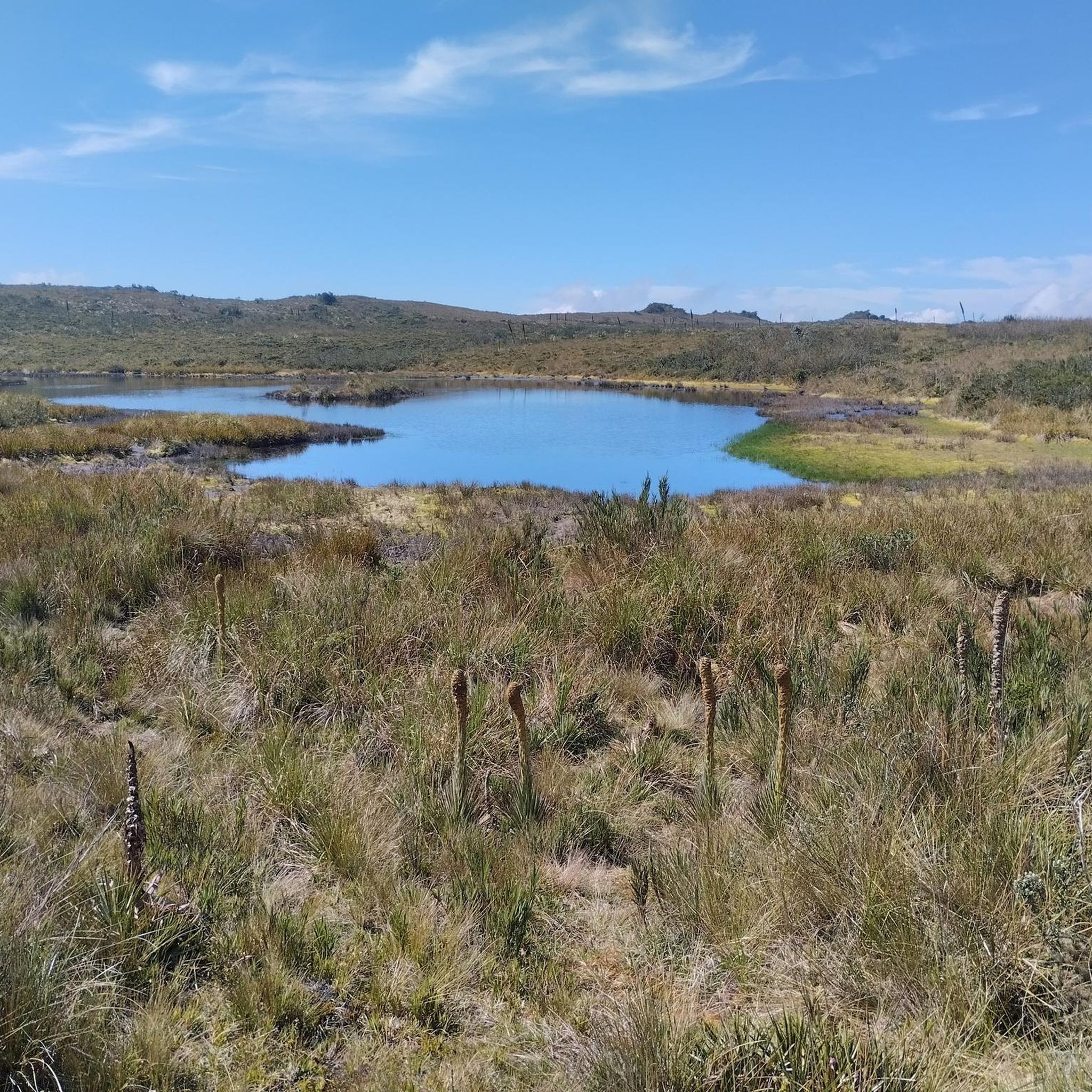
Road Cycling Routes in Reserva Forestal Bosque Oriental De Bogotá
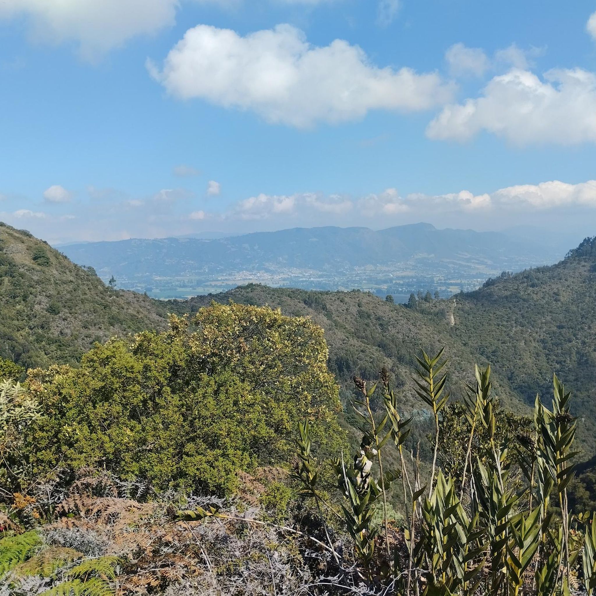
Road Cycling Routes in Reserva Forestal Thomas Van Der Hammen

Chingaza Loop – Bikepacking Colombia Scouting

South American Epic — From Cartagena to Ushuaia
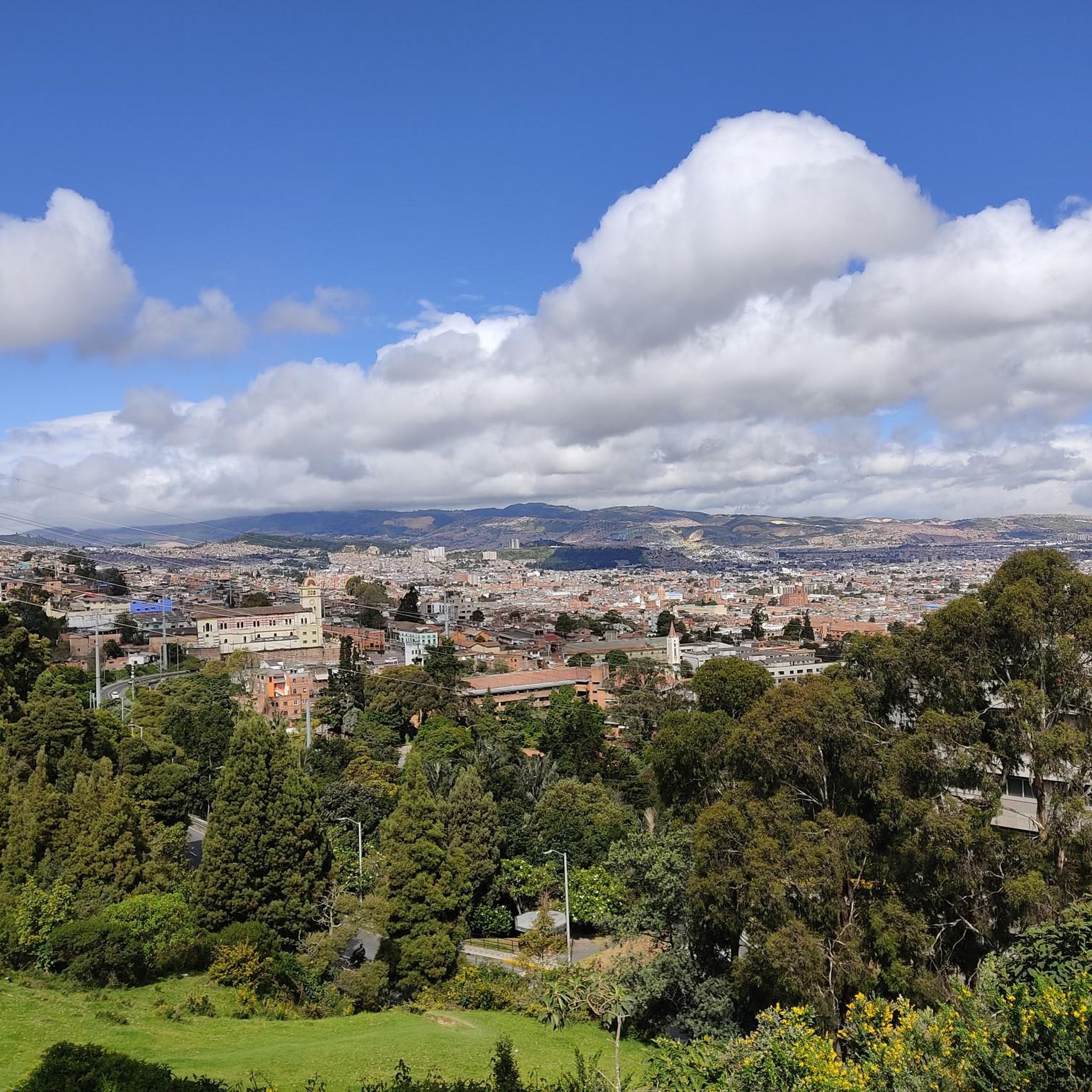
Hiking in Bogotá D.C.
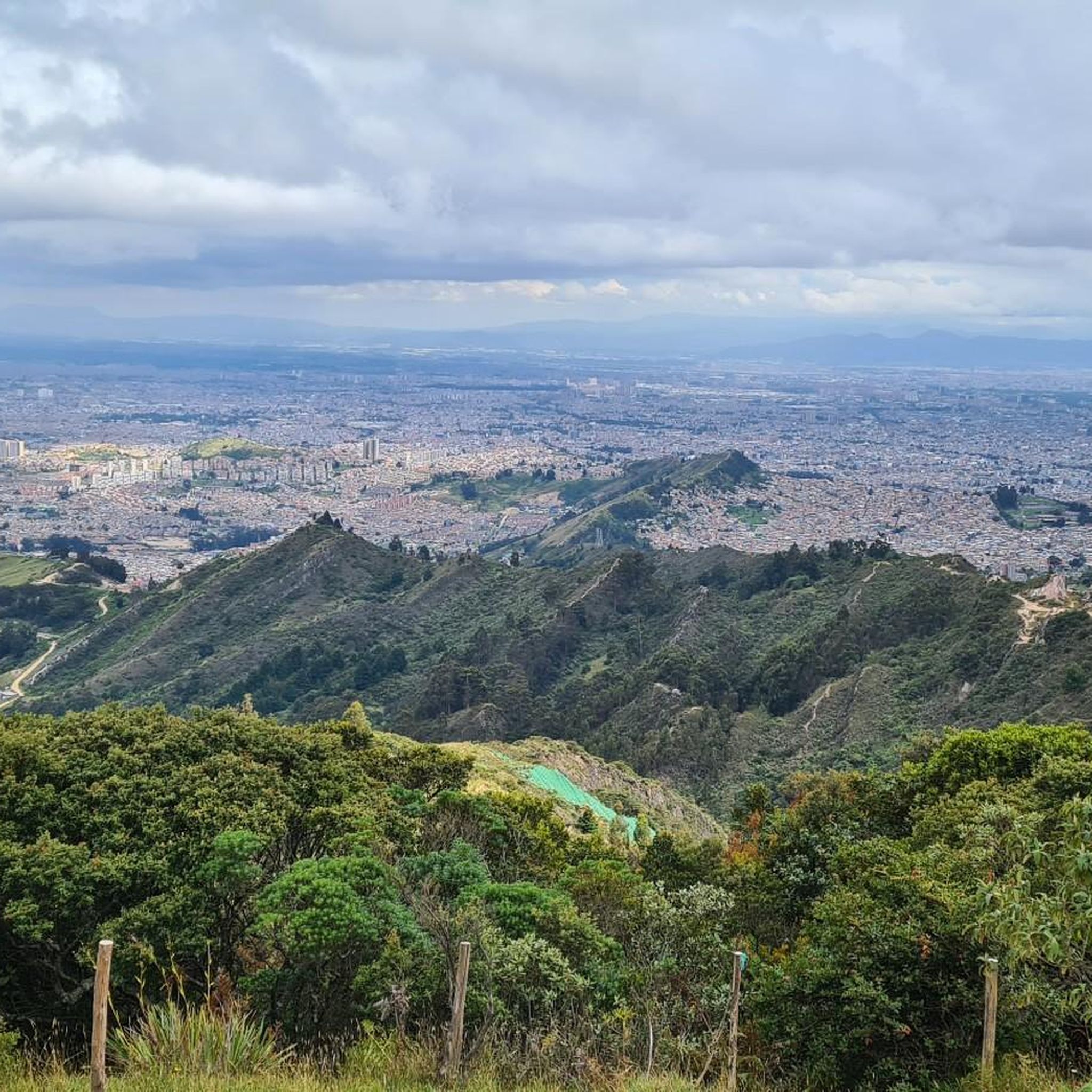
Cycling in Bogotá D.C.
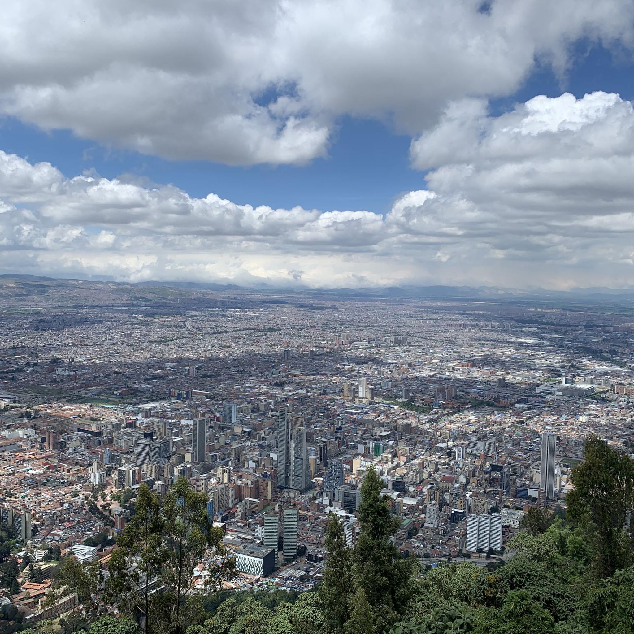
Running Trails in Bogotá D.C.
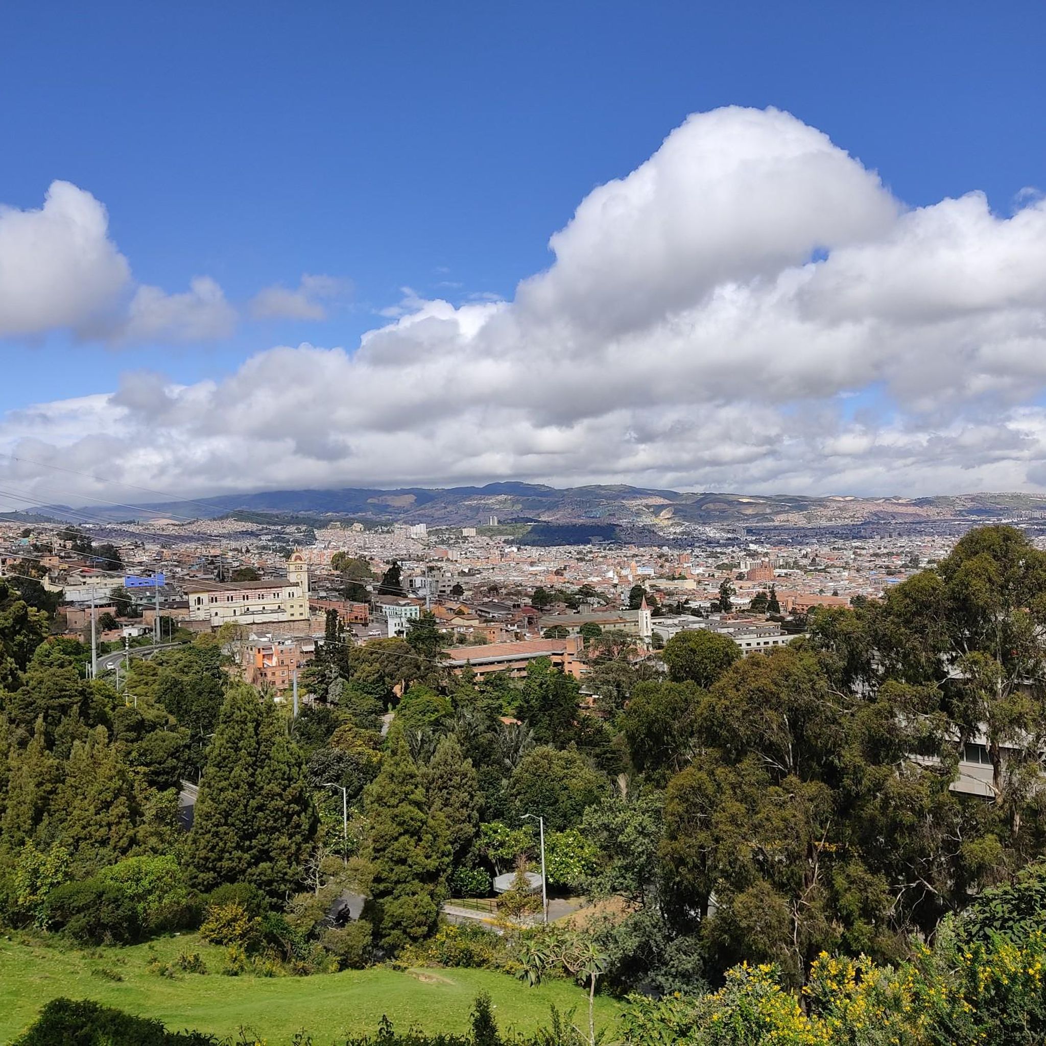
MTB Trails in Bogotá D.C.
Gravel biking in Bogotá D.C.


Tips from the Community

Road in poor condition, be careful going down, many potholes and gaps.
0
0

Don't forget to bring moisturizer.
0
0

A safe place to train!!!
0
0

It's a tough route. You need to be in good shape. Those who say it's a walk in the park or an easy climb are the ones who drive cars or ride motorcycles. They sit comfortably, sleep, and don't feel a thing.
0
0

Alto de los Patios offers countless dining options to enjoy Bogotá's sporting atmosphere. The area is usually very busy.
1
0

The drinks are expensive, and the air is polluted. The road is narrow; you have to be careful of the vehicles.
0
0

Perfect for starting out or training, the plan to get there develops your resistance
0
0

Frequently Asked Questions
How many road cycling routes are available in Bogotá D.C.?
Bogotá D.C. offers a wide array of road cycling routes, with over 50 options available on komoot. These routes cater to various skill levels, from moderate paths to very challenging ascents.
What makes road cycling in Bogotá D.C. unique?
Road cycling in Bogotá D.C. is unique due to its high-altitude setting in the Andes Mountains, offering significant elevation changes and challenging climbs. The city also boasts an extensive cycling network, including the famous Ciclovía, where major roads are closed to traffic on Sundays and holidays, creating a vibrant cycling experience. You'll find a mix of urban routes, winding mountain roads, and panoramic views over the city and into cloud forests and páramos.
What do other cyclists enjoy most about road cycling in Bogotá D.C.?
The komoot community highly rates road cycling in Bogotá D.C., with an average score of 4.8 stars from over 450 reviews. Cyclists often praise the challenging mountain climbs, the stunning views, and the diverse terrain that provides options for all abilities. Over 7,700 road cyclists have used komoot to explore the region's varied landscape.
Are there challenging road cycling routes in Bogotá D.C.?
Yes, Bogotá D.C. is renowned for its challenging road cycling routes, many of which involve significant elevation gain. Routes like Alto de Patios – View of Bogotá from Patios loop from Estación 10, a difficult 61.1-mile (98.3 km) path, include iconic climbs such as Alto de Patios, a favorite training ground for local cyclists. Another demanding option is the Salitre–Guasquita Climb – Alto de La Cuchilla loop from Estación 15, which covers 71.5 miles (115.0 km) with substantial elevation through mountainous terrain.
Are there easier road cycling routes for beginners in Bogotá D.C.?
While many routes feature significant climbs, Bogotá D.C. also offers moderate options suitable for beginners or those seeking a less strenuous ride. For example, the View of Bogotá from Patios – Patios Summit loop from Calle 45 is a moderate 14.1-mile (22.8 km) trail that can be completed in about 1 hour 20 minutes, offering a taste of the Patios area without the full intensity of longer climbs. Another moderate option is the Alto del Vino – Alto del Vino Rest Stop loop from E11 - Calle 145 con Carrera 145.
What scenic landmarks or viewpoints can I find along road cycling routes?
Many road cycling routes in Bogotá D.C. offer breathtaking views and pass by significant landmarks. The iconic Patios Summit is a popular viewpoint. You can also find panoramic city views from Monserrate Hill and Cerro de Guadalupe and Christ the Redeemer Statue, which are often visible from various routes or accessible nearby. The Primada Cathedral of Bogota – Plaza de Bolívar, Bogotá loop from La Fragua offers an urban route passing by the historic Plaza de Bolívar.
Are there natural features or parks to explore near the cycling routes?
Absolutely. Bogotá D.C. is surrounded by diverse natural landscapes. Beyond the immediate routes, you can explore areas like Sumapaz Páramo, known for its unique high-altitude ecosystem, or Chicaque Natural Park, a cloud forest reserve. While not directly on road cycling routes, these natural features provide opportunities for post-ride exploration or can be seen from some elevated cycling paths.
What is the best time of year for road cycling in Bogotá D.C.?
Bogotá D.C. experiences a relatively consistent climate due to its high altitude, with two main rainy seasons (March to May and September to November) and two drier seasons (December to February and June to August). The drier months generally offer more predictable weather for road cycling, though conditions can change rapidly in the mountains. Always be prepared for varying temperatures and potential rain, regardless of the season.
How can I access road cycling routes using public transport in Bogotá D.C.?
Bogotá has an extensive public transport system, including TransMilenio and SITP buses. While bikes are generally not allowed on TransMilenio during peak hours, they are often permitted during off-peak times and on weekends. Many SITP buses also have bike racks or allow bikes onboard when space permits. It's advisable to check specific route and time restrictions for public transport options to reach your desired starting points, especially for routes further outside the city center.
Are there options for long-distance road cycling near Bogotá D.C.?
Yes, Bogotá D.C. serves as an excellent starting point for long-distance road cycling adventures. Routes like Alto del Águila – Via Pacho – El Águila loop from Estación 14, spanning over 100 miles (164.5 km), offer extensive rides through varied terrain. The mountainous surroundings provide countless arterial roads for cyclists seeking new territories and challenging, multi-hour rides.
Are there any family-friendly road cycling options in Bogotá D.C.?
For family-friendly cycling, the Ciclovía is an excellent option. Every Sunday and on public holidays, over 120 km of city roads are closed to vehicular traffic, providing a safe and vibrant environment for cyclists of all ages and abilities. While dedicated road cycling routes often involve significant climbs, the Ciclovía offers a unique opportunity for families to enjoy urban cycling together.
Where can I find cafes or rest stops along the routes?
Many popular cycling routes, especially those leading to well-known climbs like Alto de Patios, have cafes and small shops along the way where cyclists can refuel and rest. These spots are often frequented by local riders and offer a chance to experience the vibrant cycling culture of Bogotá D.C. For routes further afield, it's always a good idea to carry sufficient water and snacks, as amenities may be less frequent.
Most popular routes in Bogotá D.C.
Most popular attractions in Bogotá D.C.

Get inspired with the komoot mobile app


Didn’t find what you were looking for?
Check out more Road cycling routes throughout Bogotá D.C. below and find the perfect route in your destination.
Explore more
Browse the best Road cycling routes in other regions.
