The best gravel rides around Llanarmon-Yn-Ial
4.8
(15)
168
riders
6
rides
Gravel biking around Llanarmon-Yn-Ial offers diverse terrain within the Clwydian Range and Dee Valley National Landscape. The region features rolling hills, verdant river valleys, and distinctive limestone geology, providing varied cycling experiences. Riders can explore undulating limestone plateaus and routes along the River Alyn, with ascents into the surrounding hills. This area provides an extensive network of paths suitable for gravel riding.
Best gravel bike trails around Llanarmon-Yn-Ial
- The most popular gravel bike trail is Ride the Clwyds: Loop de…
Last updated: May 21, 2026
5.0
(1)
13
riders
33.0km
03:31
840m
840m
Hard gravel ride. Very good fitness required. You may need to push your bike for some segments of this route.
5.0
(1)
4
riders
Hard gravel ride. Very good fitness required. You may need to push your bike for some segments of this route.

Sign up for free
71
riders
22.0km
02:00
440m
440m
Moderate gravel ride. Good fitness required. Mostly paved surfaces. Suitable for all skill levels.
4.5
(13)
61
riders
54.7km
03:57
990m
990m
Hard gravel ride. Very good fitness required. Mostly paved surfaces. Suitable for all skill levels.
14
riders
106km
08:09
2,470m
2,470m
Hard gravel ride. Very good fitness required. Mostly paved surfaces. Suitable for all skill levels.
Our route recommendations are based on thousands of hikes, rides, and runs completed by other people on komoot.
Start today with a free account
Your next adventure awaits.
Login or Signup
Tips from the Community

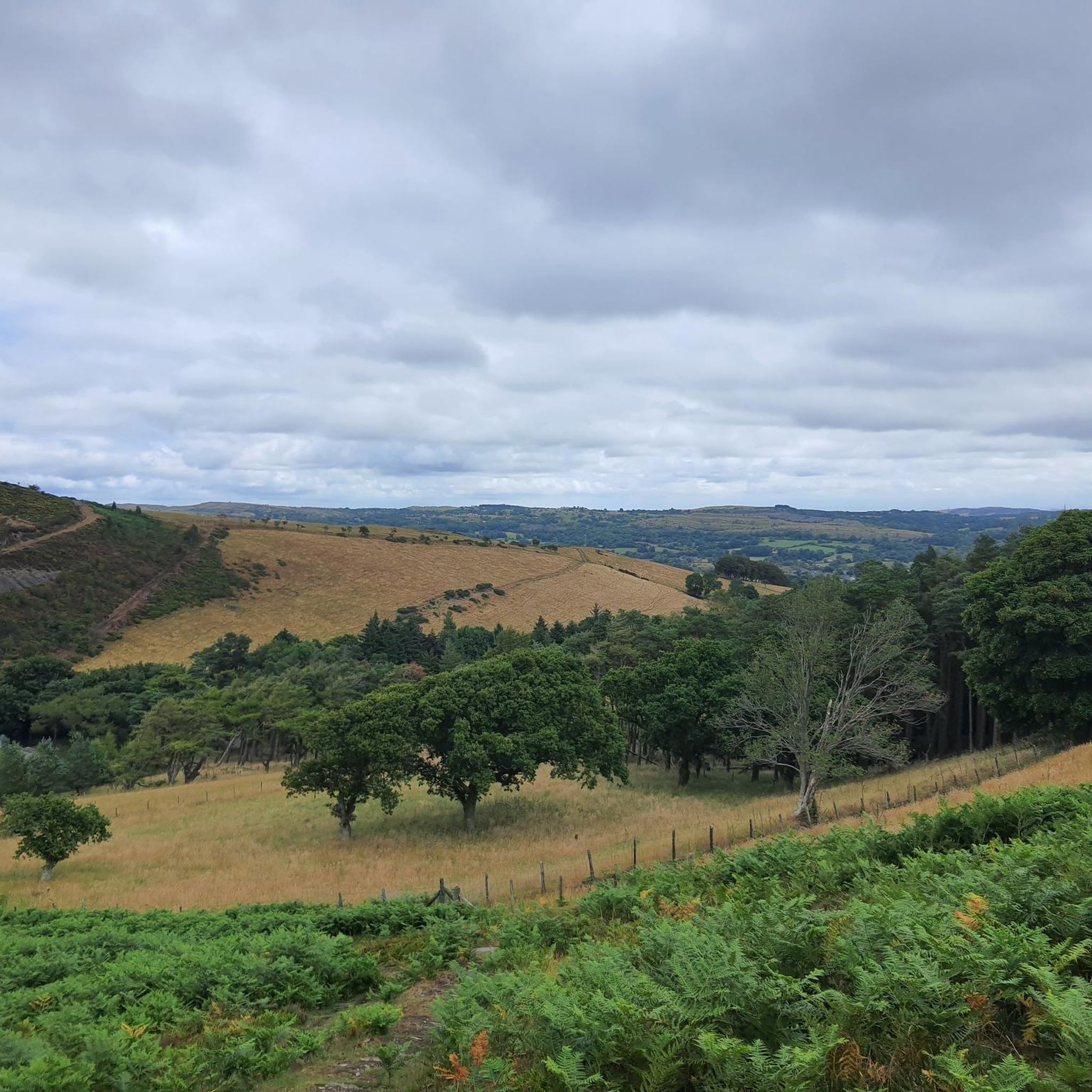
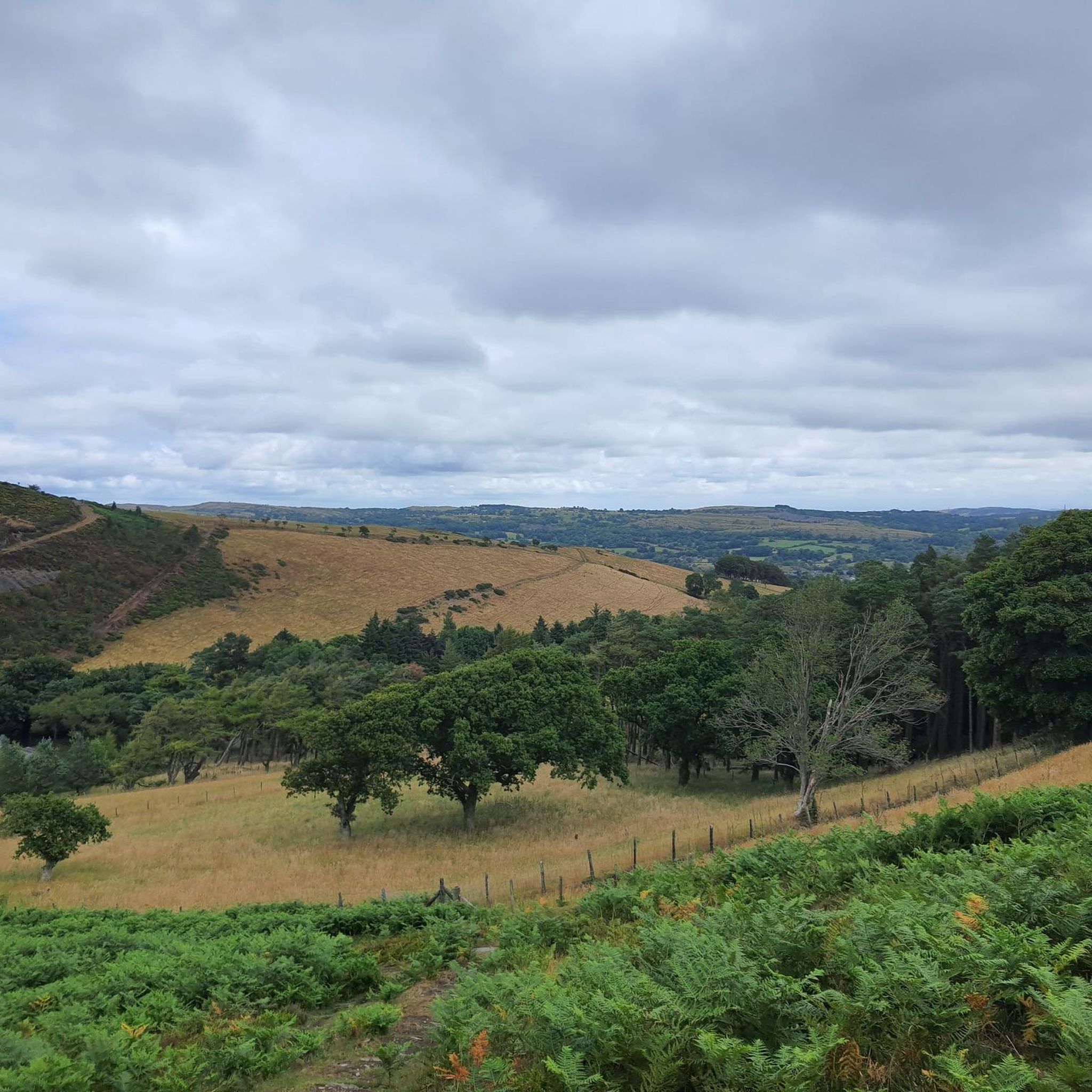
On a clear day the views extend as far as the Wirral, Denbigh Moors, and Snowdonia.
0
0

Crowning a craggy hilltop high above Llangollen, Castell Dinas Brân – the Crow’s Fortress – is one of the most dramatically-sited and legend-haunted strongholds in the whole of Britain. Set within the corner of an Iron Age hillfort, it is one of the few surviving Welsh-built stone castles, constructed in the 13th Century by Gruffudd ap Madoc, ruler of northern Powys.
3
0
Towering high above the Dee Valley and the bustling town of Llangollen, home of the International Eisteddfod, Castell Dinas Bran occupies one of Britain's most spectacular sites. A rugged, foreboding pinnacle, the hillock was the ideal spot to erect a castle. It seemed completely impenetrable, commanded views for miles around, and offered quick recognition of an approaching visitor, whether friend or foe. Yet, the native Welsh princes of Powys occupied the hilltop for only a few decades. Today, that same site is open to exploration by the public. Forced to climb to the summit, modern visitors experience the struggle and the exhilaration that the castle's medieval inhabitants - and their Edwardian attackers - must have felt. Without a doubt, the walk is a breathtaking challenge. However, that climb heightens the allure of Dinas Bran. And, it demonstrates the stark reality of medieval castle life.
3
0


Not all trails in this area permit mountain bikes. Check it first. The rangers over there are zealots.
0
0


Smart small town with plenty of decent coffee shops, bakeries and ice cream shops. Classic Co-op too if needed. Lovely place to regroup before or after Horseshoe Pass.
0
0
Frequently Asked Questions
How many gravel bike trails are available around Llanarmon-Yn-Ial?
There are 8 gravel bike trails around Llanarmon-Yn-Ial listed on komoot, offering a range of experiences from moderate to difficult.
What kind of terrain can I expect on gravel bike routes in Llanarmon-Yn-Ial?
The region offers diverse terrain, from undulating limestone plateaus and craggy outcrops to verdant river valleys along the River Alyn. You'll encounter a mix of rolling hills and ascents into the surrounding Clwydian Range, providing varied cycling experiences.
Are there any challenging gravel bike routes with significant elevation gain?
Yes, several routes feature significant elevation. For example, the Ride the Clwyds: Loop de Loop trail includes over 830 meters of ascent, taking you through the Clwydian Range. Another challenging option is The Clwyds loop from Ruthin, with over 720 meters of climbing.
What are some scenic highlights or landmarks I can see along the gravel trails?
Many routes offer panoramic views across the Vale of Clwyd and towards Snowdonia. A notable landmark is the Jubilee Tower on Moel Famau, the highest point in the Clwydian Range, which provides spectacular vistas. You might also encounter the River Alyn Valley and distinctive limestone outcrops.
Are there any longer gravel bike routes for an extended ride?
Yes, for a longer adventure, consider the View of Castell Dinas Brân – Llangollen Town loop from Cefn-y-Bedd, which spans over 105 kilometers and features significant climbing, offering an immersive experience in the wider region.
What is the best time of year for gravel biking in Llanarmon-Yn-Ial?
The region's ancient Roman roads, remote drover's tracks, and fire roads are often rocky, which can make them suitable for riding year-round. However, for the most pleasant conditions, spring and autumn generally offer milder weather and beautiful scenery. Always check local weather forecasts, especially for higher elevations like Moel Famau.
Are there any moderate gravel bike routes suitable for those looking for a less strenuous ride?
Yes, the Big Jim's Black Trail – True Blue Trail loop from Gwynfryn is classified as moderate. This 23.2-kilometer route leads through varied woodland and open terrain, with a more manageable elevation gain compared to the difficult routes.
What do other gravel bikers say about the trails in Llanarmon-Yn-Ial?
The routes in Llanarmon-Yn-Ial are highly rated by the komoot community, with an average score of 4.9 stars from over 10 reviews. Riders often praise the varied terrain, scenic views, and the extensive network of paths suitable for gravel riding.
Is it possible to find loop trails for gravel biking in the area?
Yes, many of the gravel routes around Llanarmon-Yn-Ial are designed as loops. Examples include Ride the Clwyds: Loop de Loop and The Clwyds loop from Ruthin, allowing you to start and finish in the same location.
Are there any specific attractions or points of interest near the gravel trails that are worth exploring?
Beyond the trails, you can explore other attractions in the wider area. For instance, the Horseshoe Pass (Bwlch yr Oernant), while a bit further afield, is known for its fantastic scenery. The village of Llanarmon-Yn-Ial itself is set in the scenic River Alyn valley, with ancient caves and a historic motte nearby.
Are there any bike parks or dedicated cycling facilities nearby?
While Llanarmon-Yn-Ial focuses on natural gravel trails, there are dedicated bike parks in the broader region. You can find highlights like B-Line (JJ's Jumps) Mountain Bike Trail and The Dark Side Trail, which offer different cycling experiences.
Most popular routes around Llanarmon-Yn-Ial
Most popular attractions around Llanarmon-Yn-Ial

Get inspired with the komoot mobile app


Explore more
Browse the best Gravel rides in other regions.
