The best road cycling routes around Llanarmon-Yn-Ial
4.5
(56)
2,833
riders
185
rides
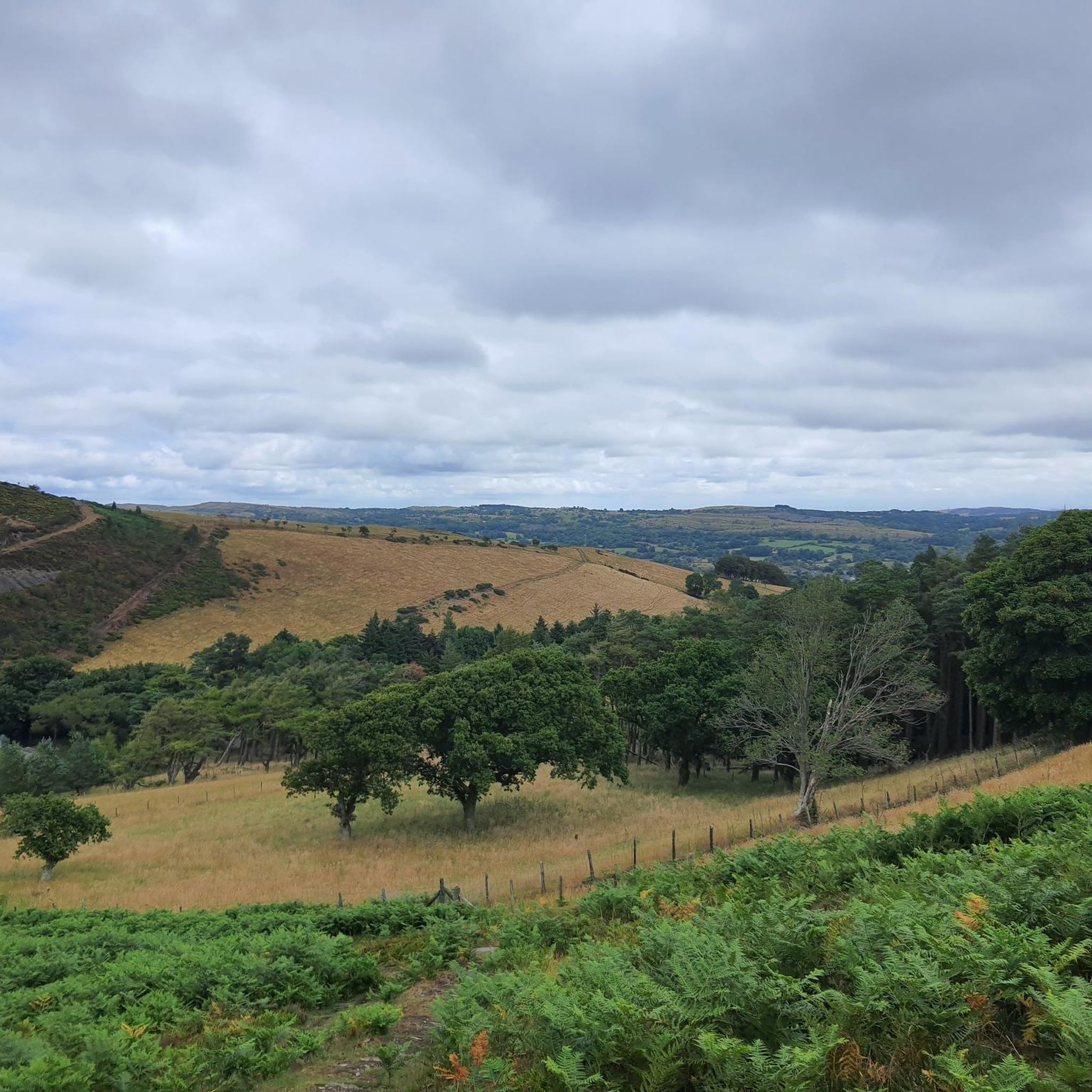
Road cycling routes around Llanarmon-Yn-Ial traverse a landscape of rolling hills, verdant valleys, and distinctive limestone geology. The region is situated within the Clwydian Range and Dee Valley National Landscape, offering varied terrain for cyclists. Routes often feature wild moors, small streams, and woodlands like Coed Nercwys, providing diverse backdrops for rides. The area is characterized by a mix of challenging climbs and scenic, tranquil sections.
Best road cycling routes around Llanarmon-Yn-Ial
- The most popular road cycling route is Horseshoe…
Last updated: August 15, 2026
11
riders
123km
06:34
1,990m
1,990m
Hard road ride. Very good fitness required. Some segments of this route may be unpaved and difficult to ride.
14
riders
24.5km
01:26
440m
440m
Moderate road ride. Good fitness required. Mostly well-paved surfaces and easy to ride.

Sign up for free
13
riders
Moderate road ride. Good fitness required. Some segments of this route may be unpaved and difficult to ride.
6
riders
21.4km
01:03
280m
280m
Moderate road ride. Great for any fitness level. Some segments of this route may be unpaved and difficult to ride.
6
riders
23.7km
01:15
390m
390m
Moderate road ride. Good fitness required. Some segments of this route may be unpaved and difficult to ride.
Get access to more routes and recommendations from other explorers.
Sign up for free
Already have an account?
Our route recommendations are based on thousands of hikes, rides, and runs completed by other people on komoot.
Start today with a free account
Your next adventure awaits.
Login or Signup

Tips from the Community

Lake Vyrnwys straining tower! Lovely place and gives it that fairy tale vibe. One of my special places is Vyrnwy.
0
0

Best way in to Ruthin from Chester.
0
0

Gorgeous area. Be aware the road/trail on the south side (including access to/from Llanymawddwy) are currently closed due to damage from storm Darragh. See https://www.hdcymru.co.uk/our-visitor-sites/lake-vyrnwy/storm-darragh/ for more details.
0
0


Nice friendly country pub, I have a few good pints here and meals. Cannot recommend highly enough, the staff are very friendly and the pub is set in a lovely rural landscape!
0
0

Savage climb for which I’d recommend at least a 32t on rear. Oh and not doing it on a loaded bike😫 But what a view! And very few cars. Always a bonus. Relatively narrow tarmac. Bit gravelly nearer the bottom but gets smooth and dry once above the trees.
0
0


There is a little cafe above the main car park for a coffee and cake after the "gift shop" labelled walks. As usual, Komoot makes the walk easier than using signposts - remember to download to the phone app. Kayaking/canoeing around the lake is only possible for about half of it due to a protected bird sanctuary.
0
0
Frequently Asked Questions
How many road cycling routes are available around Llanarmon-Yn-Ial?
There are over 215 road cycling routes around Llanarmon-Yn-Ial, catering to various skill levels. This includes 46 easy routes, 121 moderate routes, and 48 difficult routes, ensuring options for every cyclist.
What kind of terrain can I expect when road cycling in the Clwydian Range and Dee Valley National Landscape?
The Clwydian Range and Dee Valley National Landscape offers diverse terrain for road cyclists. You'll encounter rolling hills, verdant valleys, and distinctive limestone geology. Routes often feature wild, empty moors, small streams, and woodlands like Coed Nercwys, providing a mix of challenging climbs and tranquil, scenic sections, mostly on paved surfaces.
Are there any challenging climbs for experienced road cyclists near Llanarmon-Yn-Ial?
Yes, the region is known for challenging climbs. The Horseshoe Pass near Llangollen is a notable ascent, featuring a 4-mile climb with an average gradient of 5%. Longer loops can also include ascents to areas like Moel Famau. For an extensive challenge, consider the Horseshoe Falls – Lake Vyrnwy loop from Llanarmon yn Iâl, which features significant elevation gains over 75 miles.
What are some scenic viewpoints or landmarks I can visit on a road cycling route?
Many routes offer stunning views and pass by significant landmarks. You can cycle towards the Clwydian Range and Dee Valley National Landscape for expansive vistas. The ascent to the Jubilee Tower on Moel Famau offers panoramic views. Other notable points include Moel Arthur and Moel Gyw Summit, both offering excellent viewpoints.
Are there any road cycling routes suitable for beginners or those looking for an easy ride?
Absolutely. While the region has challenging climbs, there are also 46 easy routes available. An example of a more accessible ride is the Excellent Café loop from Belgrave Vein Lead Mine Adit, which is just over 13 miles long and has a relatively low elevation gain.
Can I find routes with cafe or pub stops along the way?
Yes, several routes are designed with refreshment stops in mind. The Excellent Café loop from Llanarmon yn Iâl is a moderate 15-mile path specifically known for opportunities to stop at cafes. The Horseshoe Pass also has a cafe at its summit, perfect for a break after the climb.
What is the best time of year for road cycling around Llanarmon-Yn-Ial?
The best time for road cycling in North Wales, including Llanarmon-Yn-Ial, is generally from spring through autumn. During these seasons, you'll experience milder weather and the landscape is at its most vibrant. While winter cycling is possible, conditions can be more challenging due to colder temperatures and potential for wet or icy roads, especially on higher ground.
Are there any circular road cycling routes available?
Yes, many of the routes around Llanarmon-Yn-Ial are circular, allowing you to start and finish in the same location. For example, the Roadbike loop from Llanbedr Dyffryn Clwyd is a popular circular trail through the Clwydian Range. The Excellent Café – Caffi Florence loop from Llanarmon yn Iâl is another great circular option.
What do other road cyclists say about the routes in Llanarmon-Yn-Ial?
The road cycling routes in Llanarmon-Yn-Ial are highly rated by the komoot community, with an average score of 4.5 stars from over 60 reviews. Cyclists often praise the varied terrain, the stunning scenery of the Clwydian Range and Dee Valley National Landscape, and the mix of challenging climbs and tranquil sections.
Can I explore other valleys or lakes from Llanarmon-Yn-Ial by road bike?
Absolutely. From Llanarmon-Yn-Ial, you can venture into the tranquil Ceiriog Valley, known for its picturesque scenery and wildlife. Longer routes can also take you towards scenic lakes such as Llyn Gweryd or even as far as Lake Vyrnwy, which itself features a beautiful circular on-road cycle route.
Are there options for longer distance road cycling tours?
Yes, for those seeking longer distances, the region offers extensive routes. The Horseshoe Falls – Lake Vyrnwy loop from Llanarmon yn Iâl is a challenging 75-mile route that takes approximately 6 hours 30 minutes to complete, featuring significant elevation gains and passing by scenic lakes.
Most popular routes around Llanarmon-Yn-Ial
Most popular attractions around Llanarmon-Yn-Ial

Get inspired with the komoot mobile app


Explore more
Browse the best Road cycling routes in other regions.
