Winton, Stank And Hallikeld
Winton, Stank And Hallikeld
The best gravel rides around Winton, Stank And Hallikeld
4.0
(2)
16
riders
8
rides
Gravel biking around Winton, Stank And Hallikeld offers routes through varied terrain, characterized by rolling hills and open countryside. The region features a mix of quiet country lanes, forest tracks, and bridleways suitable for gravel bikes. Elevations are generally moderate, with some routes including more significant climbs. The landscape provides a mix of open views and sheltered sections through woodlands.
Best gravel bike trails around Winton, Stank And Hallikeld
- The most popular gravel bike trail is Osmotherley South End Climb…
Last updated: October 6, 2026
5
riders
28.6km
02:01
500m
500m
Hard gravel ride. Very good fitness required. Mostly paved surfaces. Suitable for all skill levels.
4.0
(1)
3
riders
15.2km
01:04
250m
260m
Moderate gravel ride. Good fitness required. Mostly paved surfaces. Suitable for all skill levels.

4.0
(1)
2
riders
Moderate gravel ride. Good fitness required. Mostly paved surfaces. Suitable for all skill levels.
2
riders
26.0km
01:44
570m
570m
Hard gravel ride. Very good fitness required. Mostly paved surfaces. Suitable for all skill levels.
3
riders
54.2km
03:30
940m
940m
Hard gravel ride. Very good fitness required. You may need to push your bike for some segments of this route.
Get access to more routes and recommendations from other explorers.
Already have an account?
Our route recommendations are based on thousands of hikes, rides, and runs completed by other people on komoot.
Start today with a free account
Your next adventure awaits.
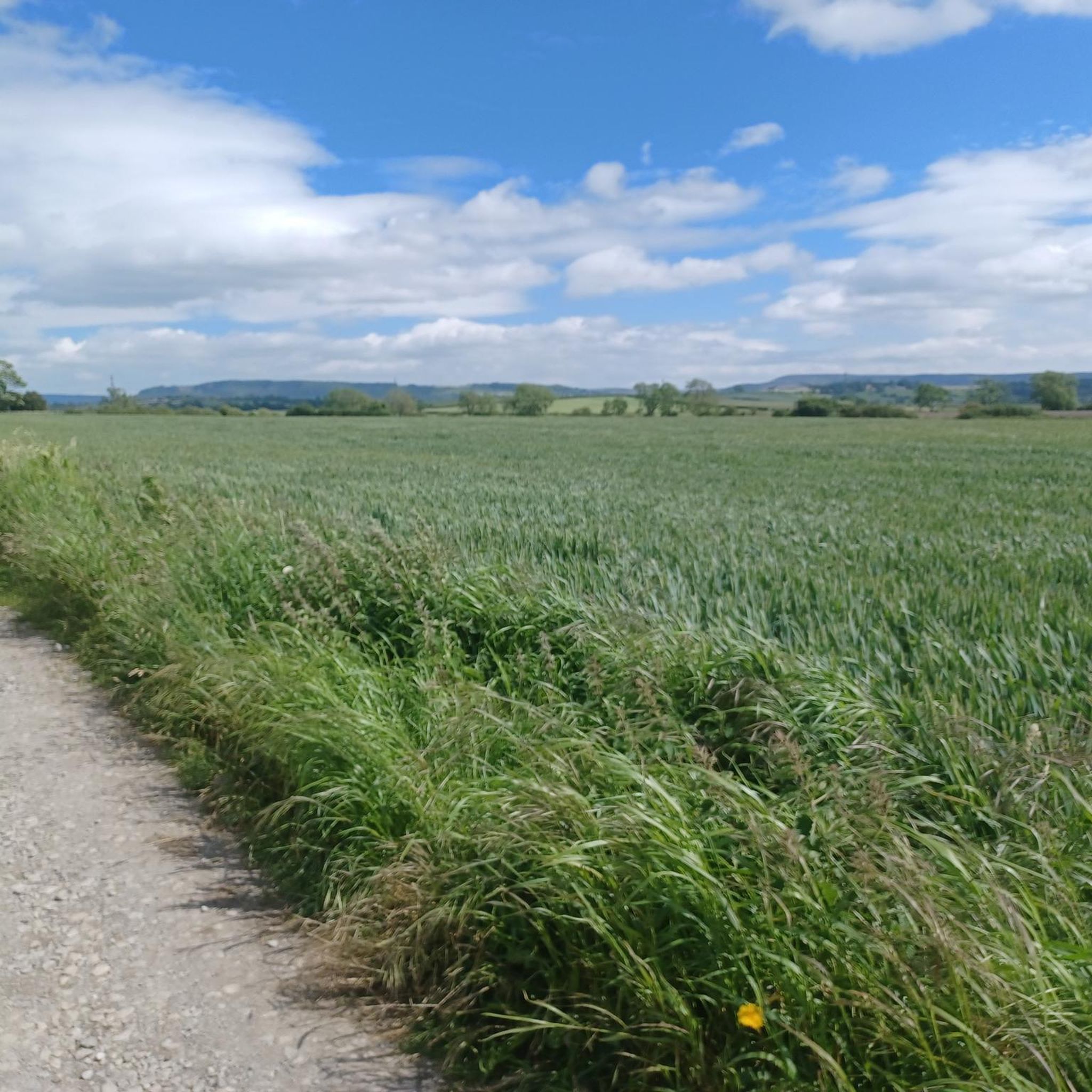
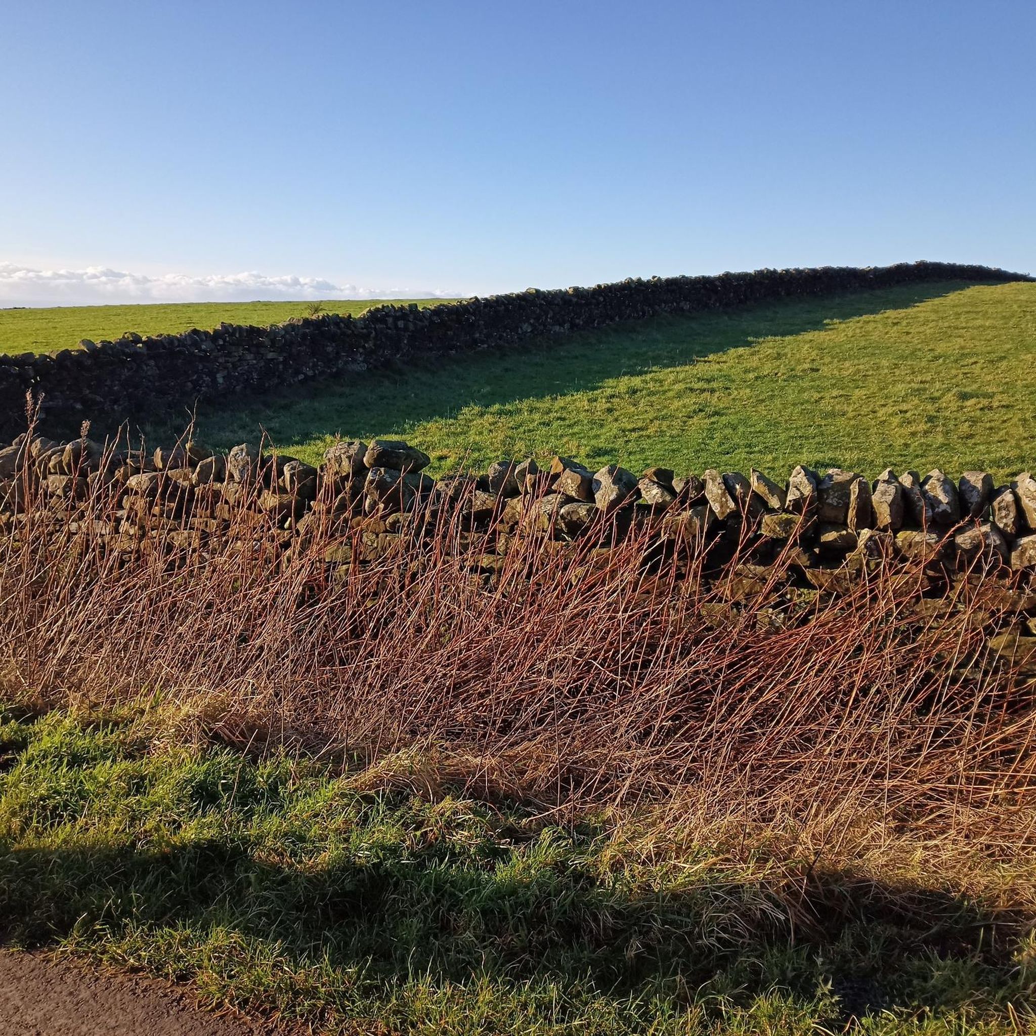
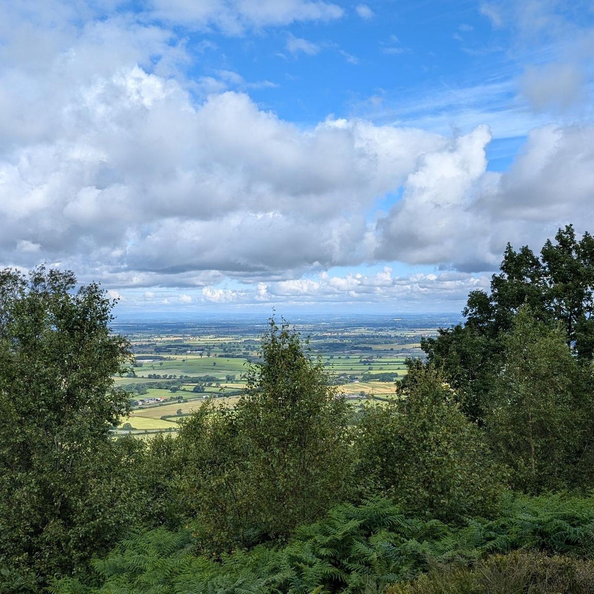
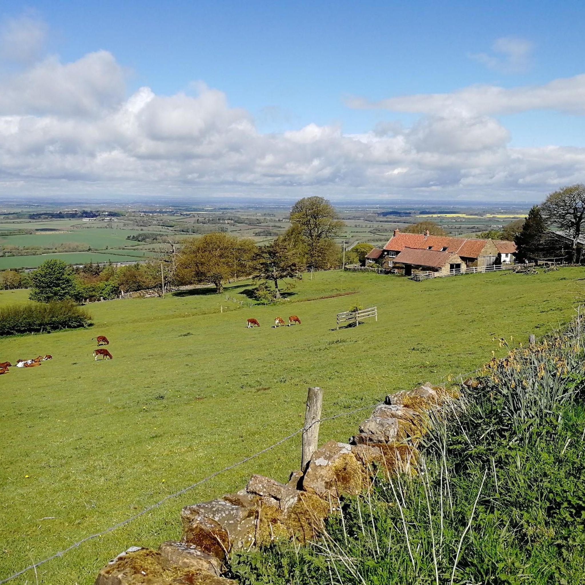
Tips from the Community

Lovely place to stop on the Cleveland way
0
0

Stayed at one of the local pubs, was good but their internet connection was non-existent, had to pay for a 24hr hotspot with EE
0
0

Finest View in England
1
0

Expensive parking but some nice routes
0
0

This is a great access point to jump onto the Cleveland Way from Cleveland Road. There is a car park a few hundred metres away to ditch the vehicle. This also happens to be an exceptional viewing point to enjoy the scenes of North York Moors
1
0

Trails along the escarpment taking in the best views over the North York Moors.
0
0

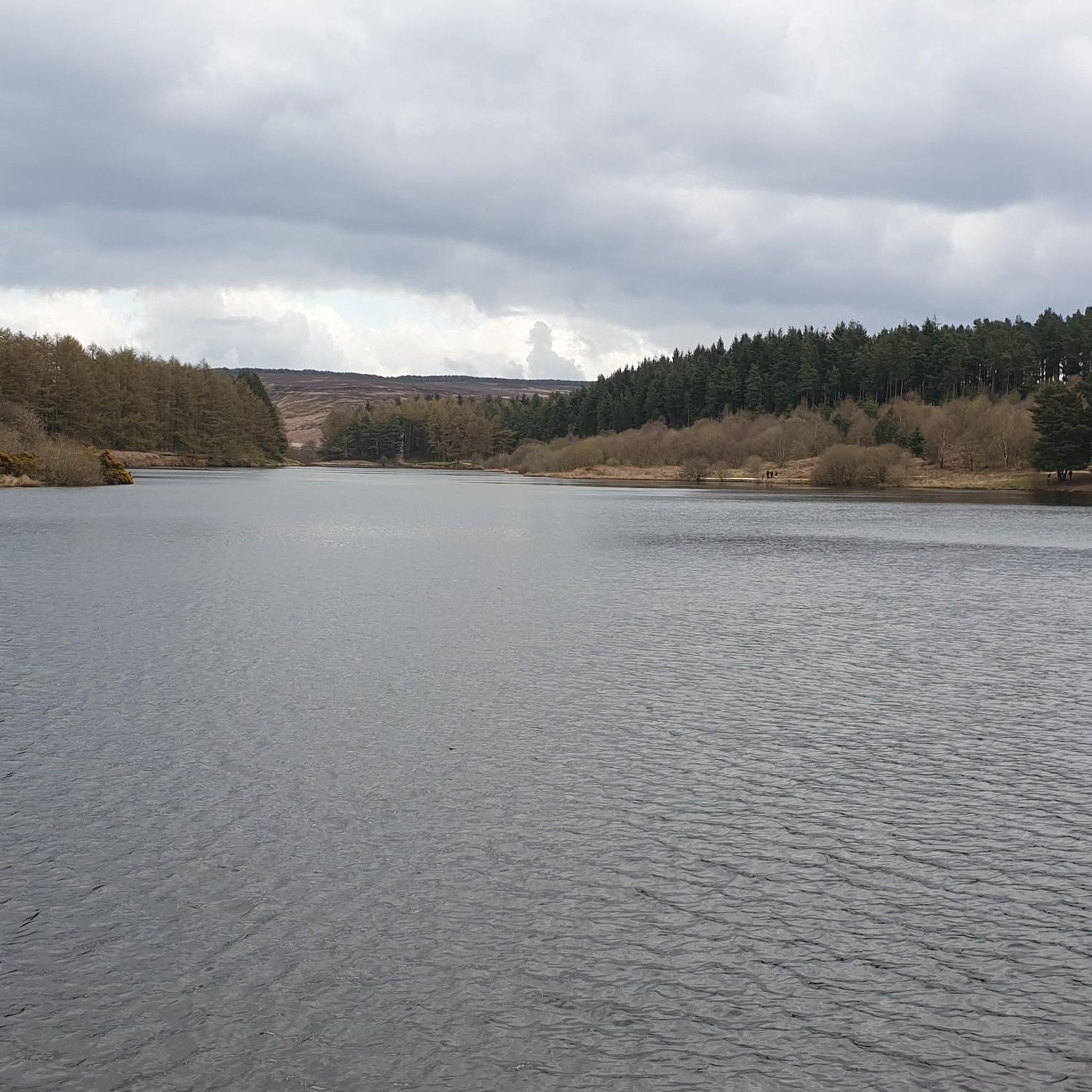
Easy parking (ice cream van in summer!) at Sheep Wash, great path through the coniferous wood running along the southern edge of the reservoir, awesome views, cool breeze across the water, option to follow numerous tracks east into the woods around Cote Garth and Golden Square. Lots of familys, dog walkers and hikers - something for everyone here.
1
0
Frequently Asked Questions
What kind of terrain can I expect on gravel bike trails in Winton, Stank And Hallikeld?
The region offers a diverse mix of terrain, including quiet country lanes, forest tracks, and bridleways. You'll encounter rolling hills and open countryside, with some routes featuring more significant climbs and even sections of singletrack for a more technical experience.
Are there any family-friendly gravel biking options in the area?
While many routes feature moderate climbs, the area's network includes paths suitable for various skill levels. For a generally accessible experience, consider routes that stick to country lanes and less challenging bridleways. Always check the route details for elevation and surface type to ensure it matches your family's ability.
Where can I find parking for gravel biking routes in Winton, Stank And Hallikeld?
Parking availability varies by starting point. Many routes begin near villages like Osmotherley or Knayton with Brawith, where public parking may be available. It's advisable to check specific route descriptions on komoot for recommended parking spots near the trailhead.
What are the best seasons for gravel biking in Winton, Stank And Hallikeld?
Spring and autumn generally offer pleasant conditions with milder temperatures and beautiful scenery. Summer can be great, but be prepared for potentially warmer weather. Winter riding is possible, but trails may be muddy or icy, especially on forest tracks and bridleways, so always check local conditions.
Are there any circular gravel bike routes available?
Yes, many of the gravel bike routes in Winton, Stank And Hallikeld are designed as loops. For instance, the Osmotherley South End Climb – Cod Beck Reservoir loop from Osmotherley is a popular circular option, and the Thimbleby Singletrack Trail – Crossroads on Hawnby Trail loop from Knayton with Brawith also offers a full loop experience.
What kind of views or scenic points can I expect along the trails?
The region boasts open countryside views and sheltered sections through woodlands. You can find stunning vistas from points like View from Beacon Hill Summit or View of Whorl Hill. Many routes also pass by natural features such as Cod Beck Reservoir.
Are there any challenging gravel bike trails for experienced riders?
Absolutely. For experienced riders seeking a challenge, routes like the Silton Forest Entrance – Hall Lane Climb loop from Square Corner feature significant climbs and cover substantial distances. The Hall Lane Climb – View from Sutton Bank Junction loop from Osmotherley is another difficult option, offering nearly 1000 meters of elevation gain over 54 km.
What are some notable landmarks or attractions to see while gravel biking?
Beyond the natural beauty, you can encounter historical and cultural points of interest. Highlights include the Osmotherley Village Green and Medieval Cross, the ancient Bronze Age Burial Mound on North York Moors, and the serene Lady Chapel (Shrine of Our Lady of Mount Grace).
How long do gravel bike routes typically take in this region?
Route durations vary significantly based on distance, elevation, and your pace. Shorter, moderate loops like the Osmotherley South End Climb – Cod Beck Reservoir loop from Osmotherley can be completed in just over an hour, while longer, more challenging routes such as the Hall Lane Climb – View from Sutton Bank Junction loop from Osmotherley can take several hours, often around 4.5 hours.
What do other gravel bikers say about the trails in Winton, Stank And Hallikeld?
The gravel biking routes in Winton, Stank And Hallikeld are highly regarded by the komoot community, with an average rating of 4.0 stars. Riders often appreciate the varied terrain, from quiet country lanes to more adventurous forest tracks, and the scenic beauty of the rolling hills and open countryside.
Are there any routes that pass through forested areas?
Yes, several routes incorporate sections through woodlands. The Silton Forest Entrance – Hall Lane Climb loop from Square Corner, for example, leads directly through forested areas, offering a different riding experience with more shade and varied surfaces.
What is the typical elevation gain on gravel bike routes here?
Elevations are generally moderate, but some routes include significant climbs. You can expect anything from around 250 meters of ascent on shorter loops to nearly 1000 meters on the most challenging, longer rides. Always check the specific route profile for detailed elevation information.
Most popular routes around Winton, Stank And Hallikeld
Most popular attractions around Winton, Stank And Hallikeld

Get inspired with the komoot mobile app


Explore more
Browse the best Gravel rides in other regions.
