Great And Little Broughton
Great And Little Broughton
The best gravel rides around Great And Little Broughton
4.6
(10)
74
riders
12
rides
Gravel biking around Great And Little Broughton offers routes through a landscape characterized by rolling hills, significant climbs, and varied terrain. The region features prominent geographical points such as Blakey Bank Summit and Clay Bank, indicating elevated areas with potential for expansive views. Trails often traverse rural settings, connecting villages and natural features. The area provides a mix of challenging ascents and more moderate paths suitable for gravel cycling.
Best gravel bike trails around Great And Little Broughton
- The most…
Last updated: July 3, 2026
11
riders
83.6km
05:24
880m
880m
Hard gravel ride. Very good fitness required. Mostly paved surfaces. Suitable for all skill levels.
5.0
(1)
9
riders
18.0km
01:12
270m
270m
Moderate gravel ride. Good fitness required. Mostly paved surfaces. Suitable for all skill levels.

Sign up for free
5.0
(1)
10
riders
Moderate gravel ride. Good fitness required. Mostly paved surfaces. Suitable for all skill levels.
4.5
(2)
8
riders
48.2km
03:23
960m
960m
Hard gravel ride. Very good fitness required. Mostly paved surfaces. Suitable for all skill levels.
4.5
(2)
7
riders
16.1km
01:07
270m
270m
Moderate gravel ride. Good fitness required. Mostly paved surfaces. Suitable for all skill levels.
Get access to more routes and recommendations from other explorers.
Sign up for free
Already have an account?
Our route recommendations are based on thousands of hikes, rides, and runs completed by other people on komoot.
Start today with a free account
Your next adventure awaits.
Login or Signup
Tips from the Community


Ingleby Greenhow is a village and civil parish in the Hambleton district of North Yorkshire. The name may derive from the Saxon for Englishman's green hill.
0
0
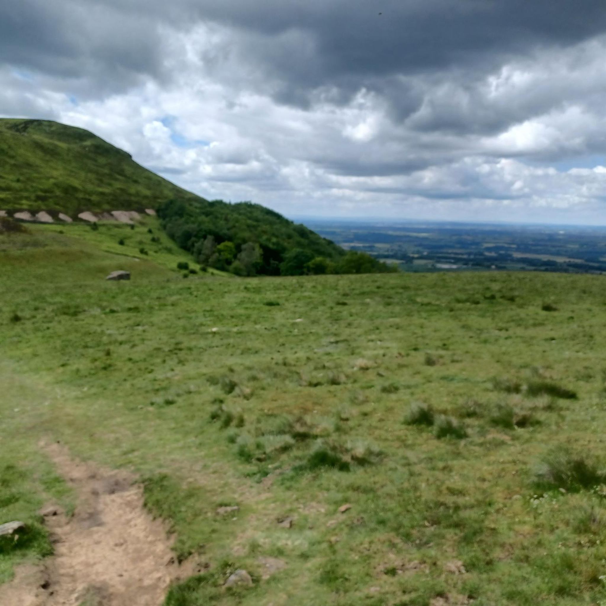
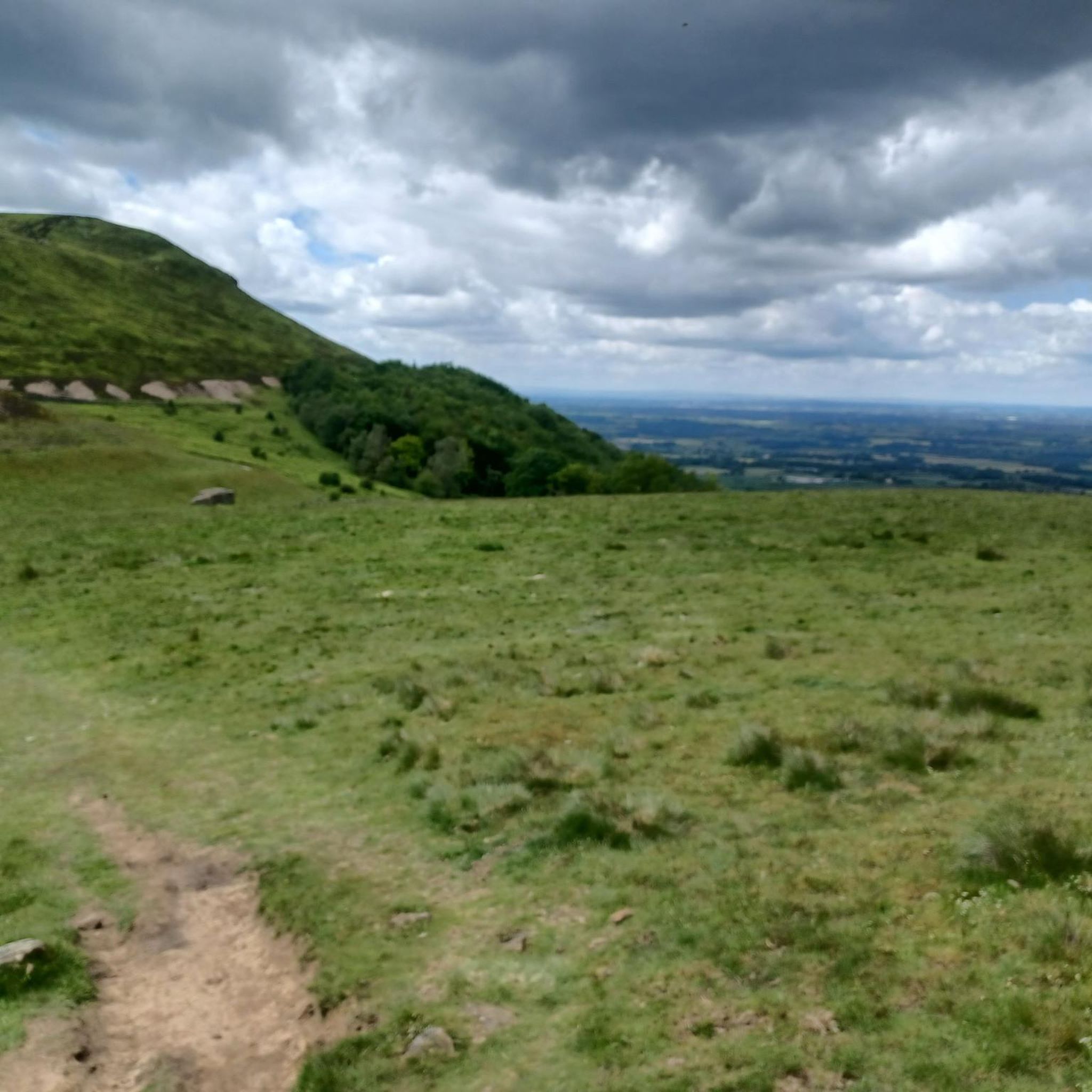
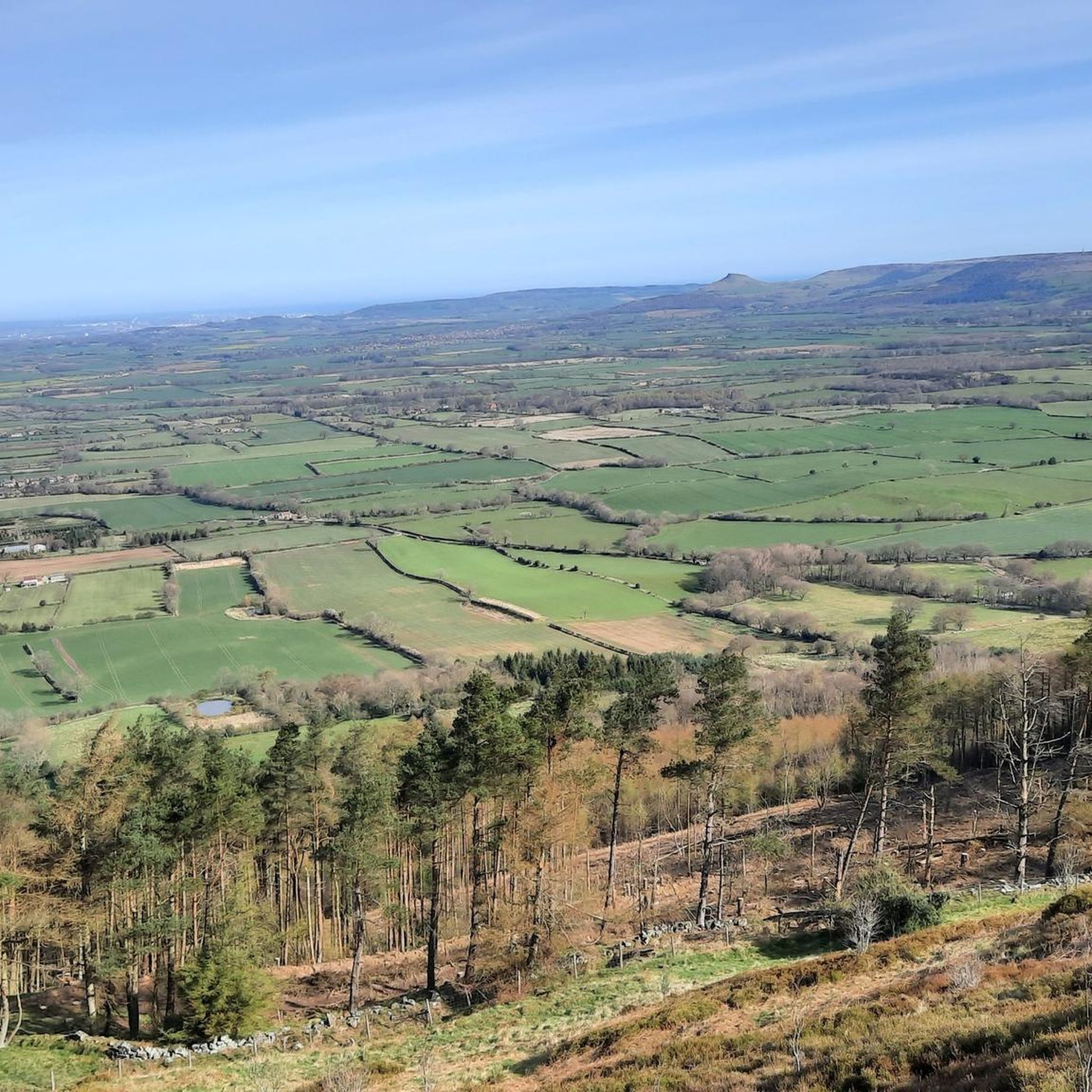
Clay Bank Car Park sits just below the top B1257 road. It is a great place to start walks on the moors to the east or the Cleveland Hills to the west. There is also fantastic views from this place.
0
0

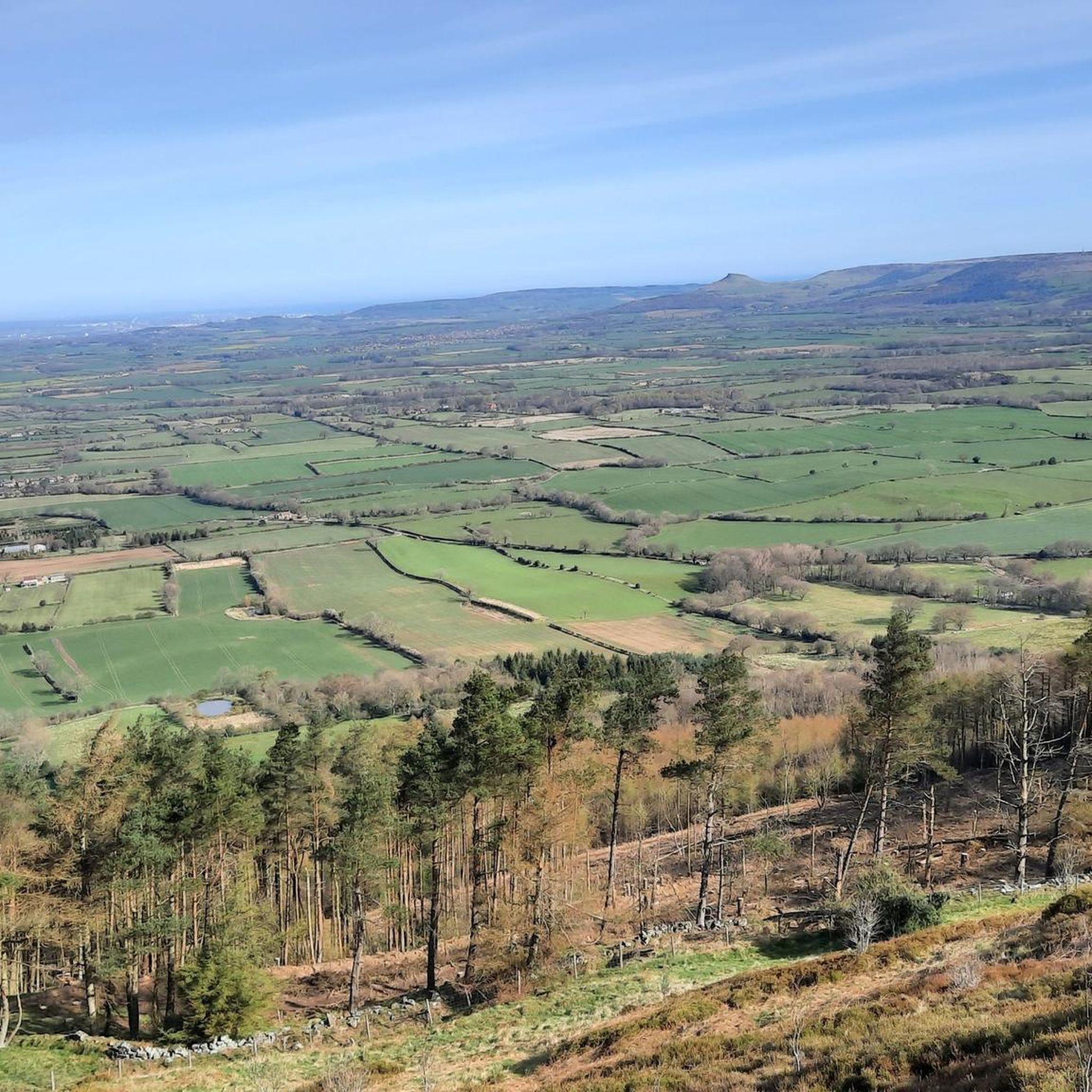
The scenery is nice in this area. You can see for miles in many parts. This is a slightly elevated area, the wind is far more stronger as it is an exposed area
0
0

Major junction of Rudland Rigg running broadly north-south and the Lyke Wake Walk running broadly east-west. West takes you past Round Hill to Urra Moor and the car park at Clay Bank, east follows the disused Farndale Railway. Most of the tracks around this location are very wide and easy walking.
1
0

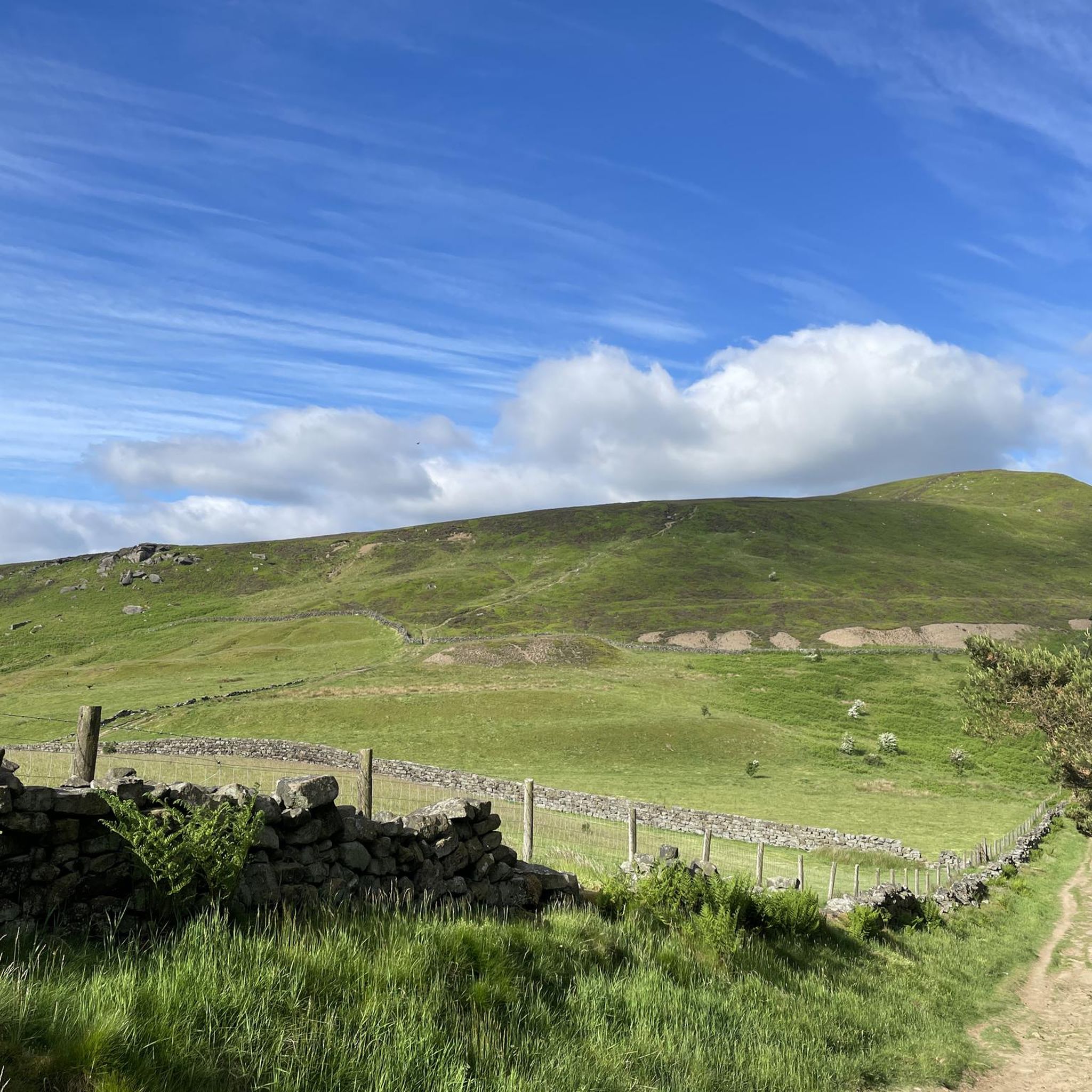
Highest point in the North York Moors with beautiful views in all directions. From here you can take several options to cycle down.
1
0

Ingleby Greenhow is a tiny village on the edge of North York Moors (the name derives from old Saxon to mean "Englishman's green hill"). A very pretty and certainly very quiet village. The highlight here must be Saint Andrew's Church at the southern end of the village. There has been a church here since the 12th century and it was rebuilt in the 17th century. The church has an equally old churchyard to match. Ingleby Beck with its woodland belonging to Woodland Trust, next to the church, only adds to its charm.
0
0
Bloworth Crossing used to be a railway crossing. The railway line (carrying iron ore) ran from Battersby to Rosedale for 11 miles. These days, it is a cycling and walking/hiking heaven. Easy, comfortable tracks to ride on with preposterously beautiful views in just about any direction your heart directs you to look at!
1
0
Frequently Asked Questions
How many gravel bike trails are available around Great And Little Broughton?
There are over 15 gravel bike routes available in the Great And Little Broughton area, offering a variety of experiences for different skill levels. You'll find a mix of moderate and challenging rides.
Are there any easy or beginner-friendly gravel bike routes in Great And Little Broughton?
While many routes in the region are rated as difficult, there are 5 moderate gravel bike trails that could be suitable for beginners or those looking for a less strenuous ride. For example, the View from Clay Bank loop from Broughton Bank SSSI is a moderate 11.2-mile route that offers scenic views without extreme difficulty.
What are some challenging gravel bike routes for experienced riders?
Experienced gravel bikers will find plenty of challenging options. The region is known for its significant climbs and varied terrain. A notable difficult route is the Blakey Bank Summit – Hutton-le-Hole village loop from Battersby, which spans over 41 miles and includes substantial elevation gain.
Are there circular gravel bike routes available?
Yes, many of the gravel bike routes around Great And Little Broughton are designed as loops, allowing you to start and finish in the same location. Examples include the Ingleby Greenhow – View from Clay Bank loop from Stokesley, which is a moderate 14.7-mile circular trail.
What kind of views can I expect on the gravel bike trails?
The gravel bike trails in Great And Little Broughton offer expansive views across rolling hills and rural landscapes. Prominent geographical points like Blakey Bank Summit and Clay Bank provide excellent vantage points. You can also explore nearby natural features such as Roseberry Topping Summit or Carlton Bank Summit Trig Point, which are popular highlights in the area.
What interesting landmarks or natural features can I explore near the gravel bike trails?
Beyond the trails themselves, the region is rich in natural beauty. You can visit significant peaks like Urra Moor – Highest Point of the North York Moors or the distinctive rock formations of The Wainstones. These highlights offer additional points of interest for exploration.
When is the best time of year for gravel biking in Great And Little Broughton?
The best time for gravel biking in Great And Little Broughton is typically from late spring to early autumn (May to October) when the weather is generally milder and trails are drier. The region's rolling hills and exposed sections can be challenging in strong winds or heavy rain, so checking the forecast is always recommended.
Is gravel biking possible during winter in Great And Little Broughton?
Gravel biking is possible in winter, but conditions can be challenging. Trails may be muddy, icy, or covered in snow, especially at higher elevations like Blakey Bank Summit. Shorter, lower-elevation routes might be more accessible, but always prioritize safety and check local weather and trail conditions before heading out.
What do other gravel bikers say about the trails in Great And Little Broughton?
The gravel bike trails in Great And Little Broughton are highly regarded by the komoot community, with an average rating of 4.6 stars from over 11 reviews. Riders often praise the varied terrain, challenging climbs, and the stunning rural landscapes that characterize the region.
Are there family-friendly gravel biking options around Great And Little Broughton?
For families, focusing on the moderate-difficulty routes would be best. These trails offer a good balance of scenic beauty and manageable distances without the extreme climbs found on the more difficult routes. Always consider the fitness levels of all family members and choose a route that suits everyone.
Can I access gravel bike trails in Great And Little Broughton using public transport?
Accessing some trailheads by public transport can be limited in this rural area. While some larger villages nearby may have bus services, direct access to specific starting points for gravel routes might require a car. It's advisable to check local bus routes and timetables in advance if you plan to use public transport.
Where can I find parking for gravel biking in the Great And Little Broughton area?
Parking is generally available in or near the villages that serve as starting points for many routes, such as Marton, Great Ayton, or Stokesley. Look for designated car parks or consider parking responsibly in village areas, being mindful of local residents and access.
Are there any cafes or places to refuel along the gravel bike routes?
While many routes traverse rural landscapes, some trails pass through or near villages where you can find cafes, pubs, or small shops to refuel. It's always a good idea to carry sufficient water and snacks, especially on longer routes, as amenities might be sparse between villages.
Most popular routes around Great And Little Broughton
Most popular attractions around Great And Little Broughton

Get inspired with the komoot mobile app


Explore more
Browse the best Gravel rides in other regions.
