Great And Little Broughton
Great And Little Broughton
The best running trails around Great And Little Broughton
4.4
(70)
6,633
runners
325
runs
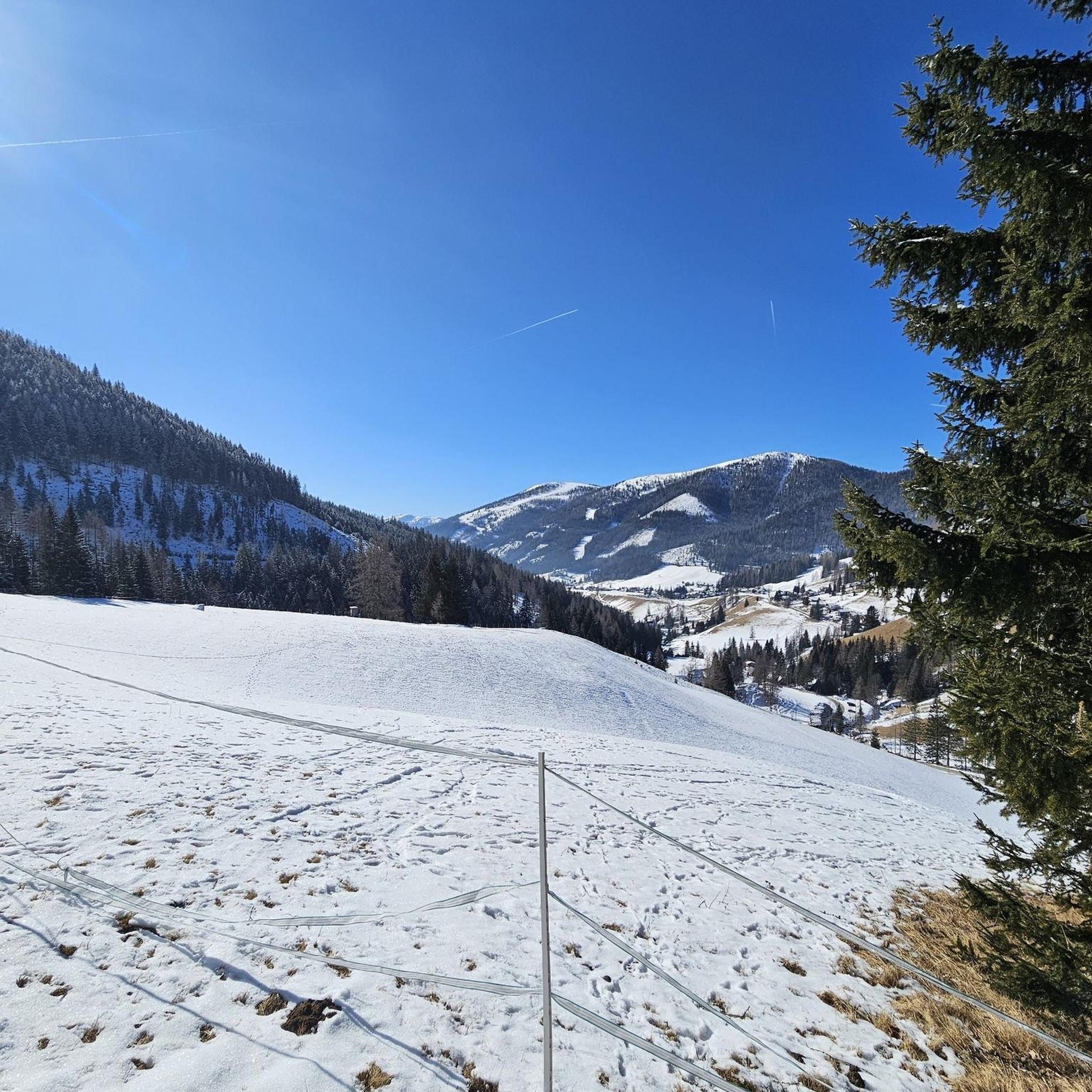
Jogging routes around Great And Little Broughton are situated on the edge of the North York Moors National Park and the Cleveland Hills. The region features diverse terrain, including moorland summits, undulating hills, and scenic trails. Key natural features include Roseberry Topping, The Wainstones, and Urra Moor, providing varied landscapes for running. The area offers a range of paths suitable for different fitness levels, from riverside routes to challenging moorland ascents.
Best jogging routes around Great And Little Broughton
- The…
Last updated: October 8, 2026
5.0
(3)
31
runners
14.2km
01:51
490m
490m
Hard run. Very good fitness required. Mostly paved surfaces. Suitable for all skill levels.
5.0
(2)
13
runners
6.72km
00:53
230m
230m
Moderate run. Good fitness required. Mostly paved surfaces. Suitable for all skill levels.

140
runners
10.8km
01:22
420m
410m
Hard run. Very good fitness required. Sure-footedness, sturdy shoes and alpine experience required.
55
runners
46.0km
05:29
1,140m
1,140m
Hard run. Very good fitness required. Sure-footedness, sturdy shoes and alpine experience required.
29
runners
Moderate run. Good fitness required. Mostly paved surfaces. Suitable for all skill levels.
Get access to more routes and recommendations from other explorers.
Already have an account?
Our route recommendations are based on thousands of hikes, rides, and runs completed by other people on komoot.
Start today with a free account
Your next adventure awaits.
Tips from the Community

Until 1912, Roseberry Topping had a smooth, sugarloaf‑like peak. A geological fault combined with underground mining caused a massive collapse, giving the summit its modern jagged profile. The climb up from the car park is steep and can be very busy, even before sunrise in winter where you can see a small procession of torches slowly ascending.
1
0
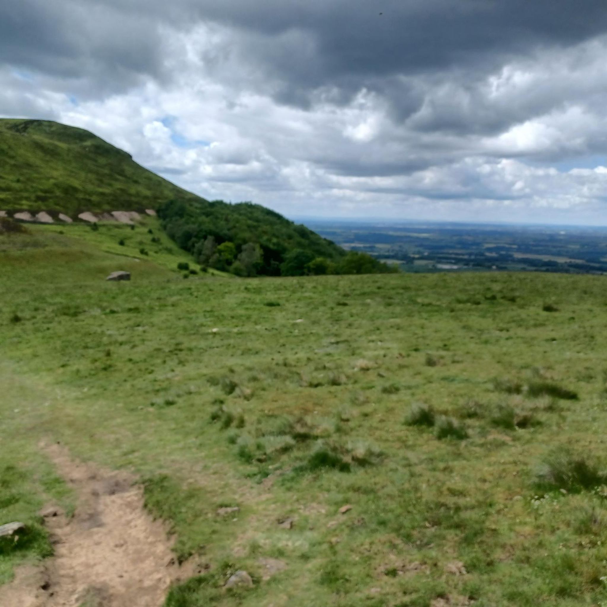
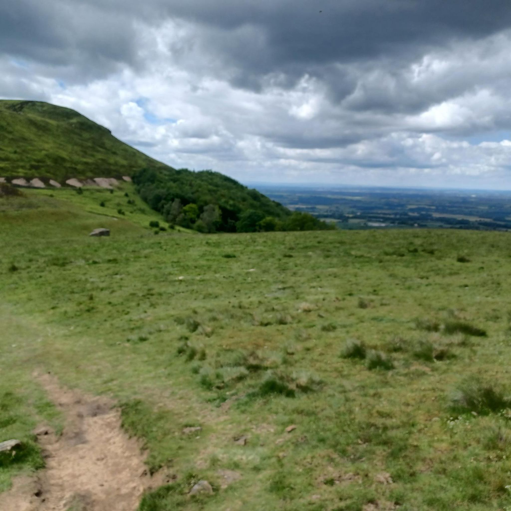
Great views of the eastern flank of Roseberry Topping from the track leading to Little Roseberry.
1
0
Great views and early on a Sunday morning is best to beat the crowds. The obelisk is hollow and originally had a doorway you could walk through, before it was sealed during a 19th‑century restoration. A lightning strike in 1960 almost split the monument down the middle after the lightning conductor installed in 1895 rusted away. Earlier lightning strikes in the 19th century had already blown off the original doorway and obliterated the cast‑iron plaques. Fun fact - allegedly - the monument contains a hidden time capsule. When the foundation stone was laid in 1827, commemorative items were placed inside, including a portrait of Captain Cook and a glass plate etched with details of the event.
1
0

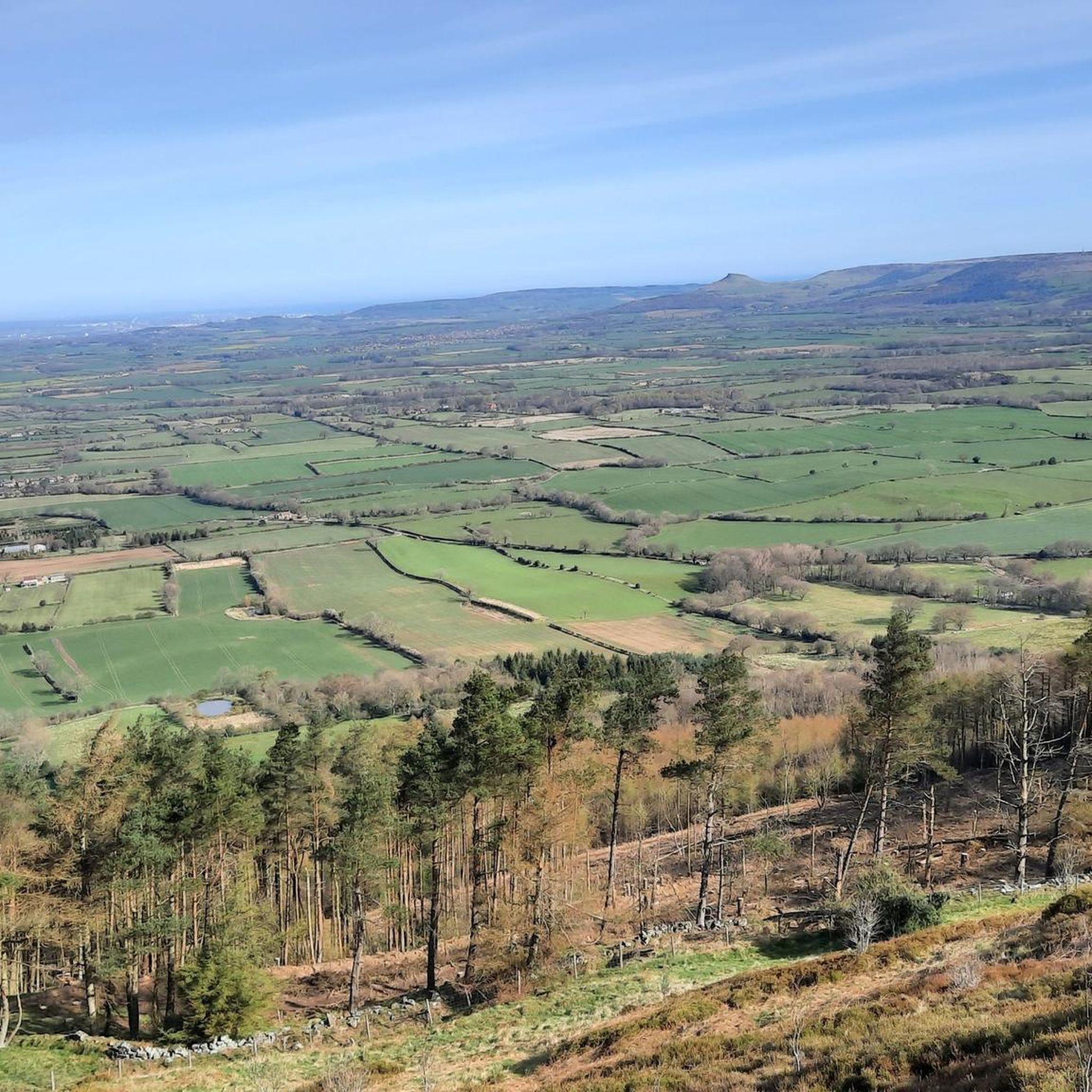
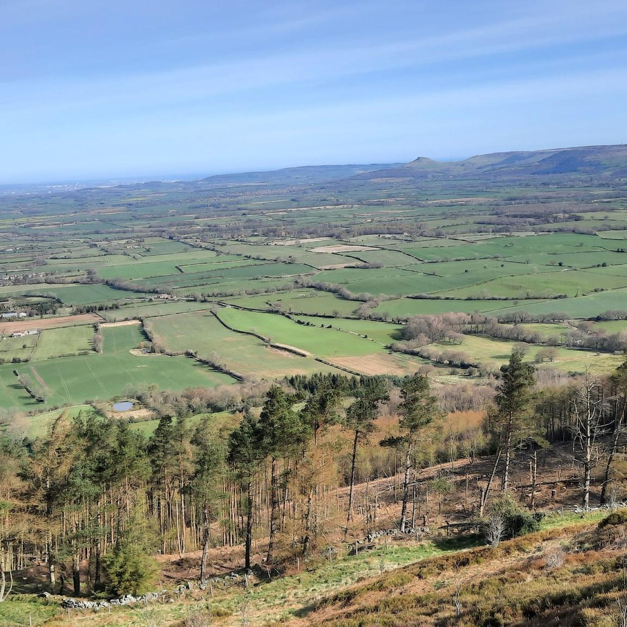
Directly in front of the monument, take a stroll about 30-50 paces and you will have some very decent views of the area!
0
0
Lots of view points, people rock climbing and the up and downs test you as they are short, but a touch punchy for their short elevation!
0
0


Walking boots is a must as the terrain is very uneven and can get slippy if it’s been raining
0
0

Intense incline but the views at top were spectacular
0
0
Frequently Asked Questions
How many running routes are available around Great And Little Broughton?
There are over 300 running routes in the Great And Little Broughton area. These routes offer a diverse range of experiences, from gentle riverside paths to challenging moorland ascents, catering to various fitness levels.
What kind of terrain can I expect on the running trails around Great And Little Broughton?
The terrain around Great And Little Broughton is highly varied, situated on the edge of the North York Moors National Park and the Cleveland Hills. You can expect moorland summits, undulating hills, and scenic trails. Features like Roseberry Topping, The Wainstones, and Urra Moor provide diverse landscapes, while the River Derwent offers gentler, waterside paths.
Are there running routes suitable for beginners in Great And Little Broughton?
Yes, there are several easier running options. For instance, the Stokesley Town Centre – Stokesley Packhorse Bridge loop from Stokesley is a moderate 10.2 km trail that leads through the local town and along the river, offering a relatively flat and accessible run.
What are some challenging running routes for experienced trail runners?
For experienced trail runners seeking a challenge, the area offers routes with significant elevation gain. A notable option is the The Wainstones, Chop Gate & Round Hill loop, an 8.8-mile (14.2 km) difficult trail featuring substantial climbing through moorland landscapes. Another demanding route is the Roseberry Topping Summit – The Wainstones loop from Stokesley, which covers 46.1 km with over 1100 meters of ascent.
Can I bring my dog on the running trails in Great And Little Broughton?
Many trails in the North York Moors National Park and surrounding areas are dog-friendly, but it's always recommended to keep dogs on a lead, especially near livestock or during ground-nesting bird seasons. Always check local signage for specific restrictions on individual routes.
Are there family-friendly jogging options in the area?
While many routes offer varied terrain, some are more suitable for families. Generally, flatter, shorter routes along rivers or through less challenging woodlands are best. The Stokesley Town Centre – Stokesley Packhorse Bridge loop from Stokesley is a good example of a moderate, accessible route that could be enjoyed by families.
What natural features or landmarks can I see while running?
The running routes offer stunning natural beauty and historical landmarks. You might encounter the distinctive Roseberry Topping Summit, known as the 'Yorkshire Matterhorn,' or the rugged The Wainstones. Other points of interest include Carlton Bank Summit Trig Point with its panoramic views, and Captain Cook's Monument on Easby Moor.
Are there circular running routes available in Great And Little Broughton?
Yes, many of the running routes in the area are circular, allowing you to start and finish at the same point. For example, the The Wainstones and Broughton Plantation loop from Clay Bank is a moderate 6.7 km circular path that offers a balanced mix of distance and effort.
Where can I find parking for running routes in Great And Little Broughton?
Parking is available at various access points to the trails. For routes around The Wainstones, parking can often be found near Clay Bank. For routes starting closer to the villages, local car parks or designated roadside parking might be available. Always check specific route details for recommended starting points and parking information.
Is public transport available to access running trails around Great And Little Broughton?
While Great And Little Broughton are rural villages, some bus services connect them to larger towns like Stokesley, which may offer more extensive public transport links. From Stokesley, you can access routes like the Stokesley Town Centre – Stokesley Packhorse Bridge loop. For more remote trailheads, public transport options might be limited, making personal transport more convenient.
What do other runners enjoy most about jogging in Great And Little Broughton?
The running routes in Great And Little Broughton are highly rated by the komoot community, with an average score of 4.5 stars from over 49 reviews. Runners often praise the stunning natural beauty, the variety of terrain from moorland to riverside paths, and the sense of wilderness offered by areas like Urra Moor. The well-defined paths and diverse options for all ability levels are also frequently highlighted.
Are there any pubs or cafes near the running routes for refreshments?
Yes, Great Broughton has public houses like The Punch Bowl Inn, The Jet Miners, and The Bay Horse, which can provide convenient refreshment stops after a run. Depending on your chosen route, you might also find cafes or pubs in nearby villages or towns like Stokesley.
Most popular routes around Great And Little Broughton
Most popular attractions around Great And Little Broughton

Get inspired with the komoot mobile app


Explore more
Browse the best Running Trails & Routes in other regions.
