The best gravel rides around Dalmellington
5.0
(2)
34
riders
4
rides
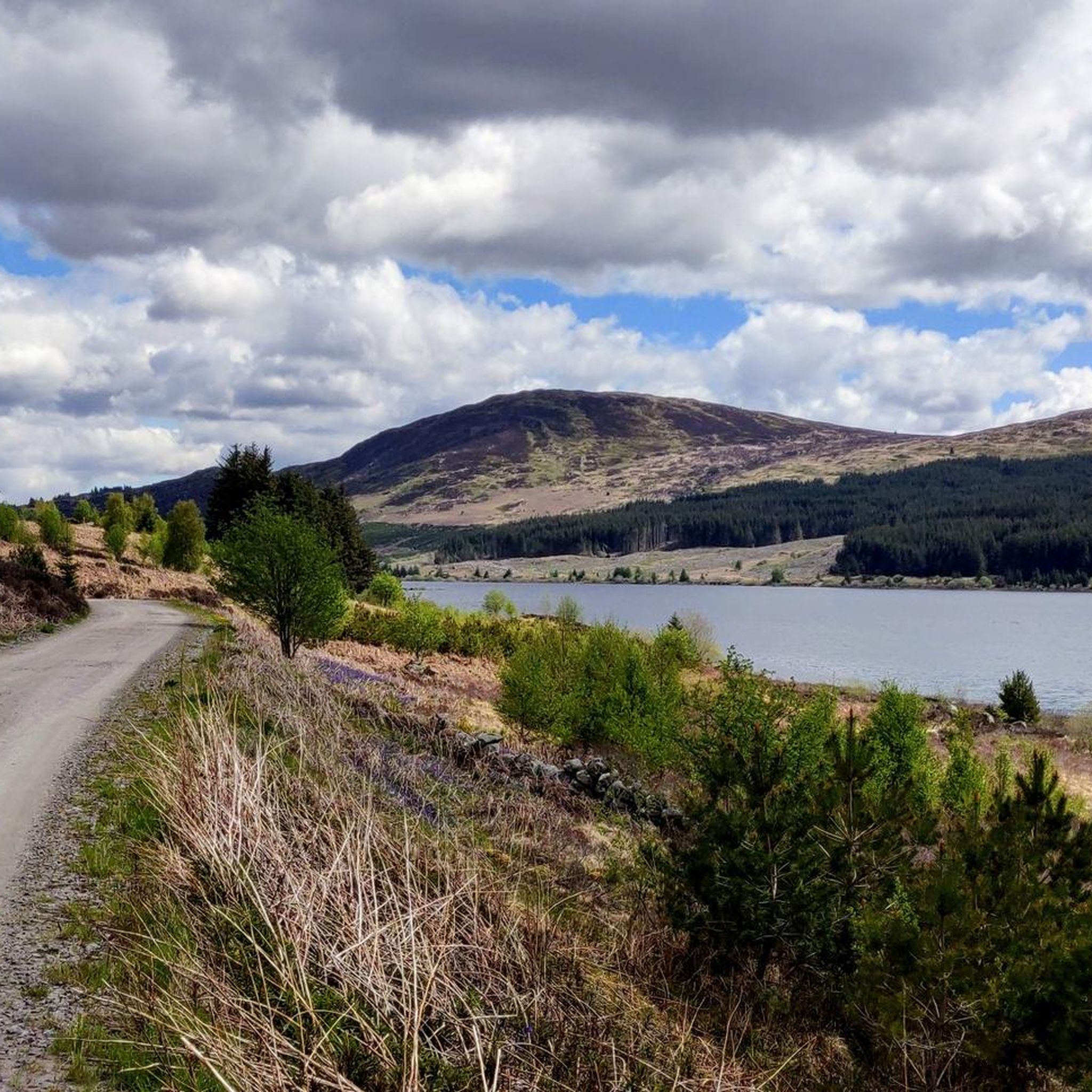
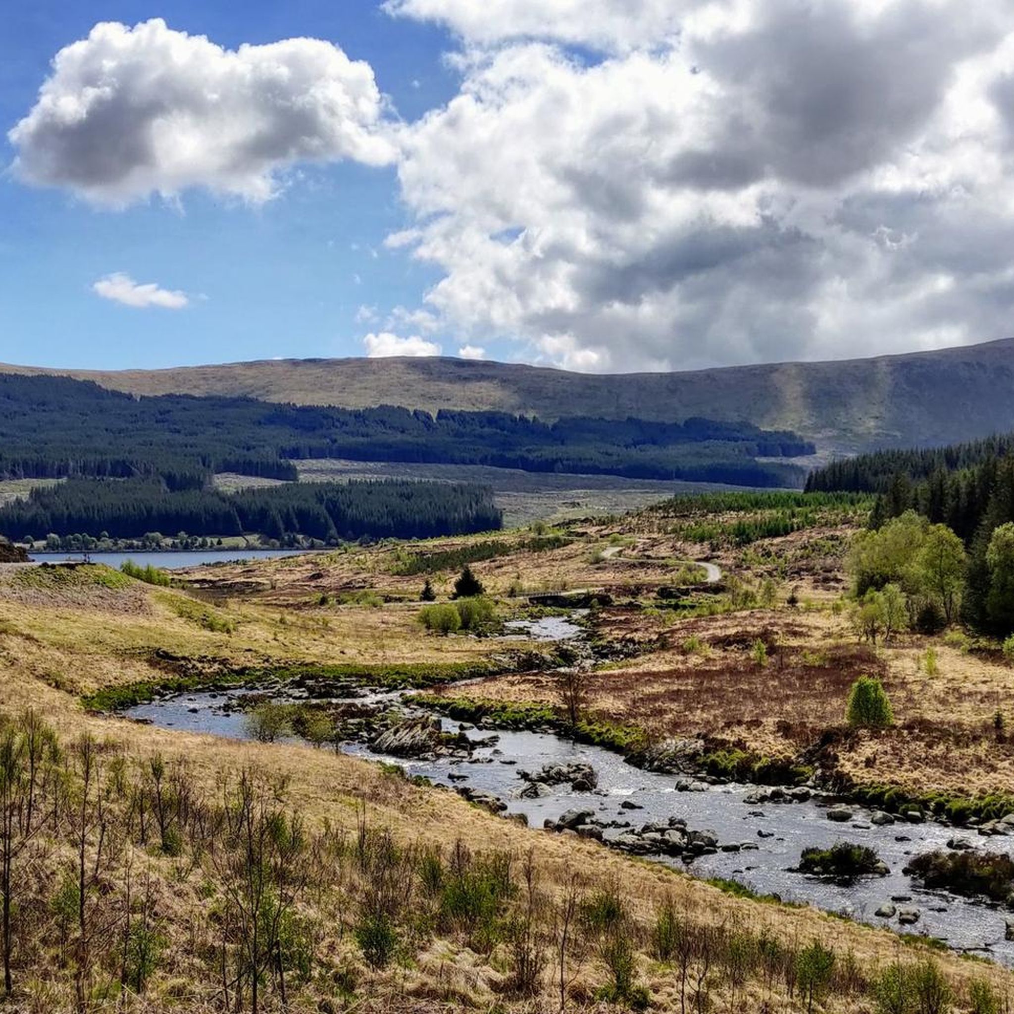
Gravel biking around Dalmellington features a landscape characterized by numerous lochs, rolling hills, and expansive forest areas, offering varied terrain for cyclists. The region's routes often traverse open moorland and forested tracks, providing a mix of surfaces suitable for gravel bikes. Elevations range from gentle inclines to more challenging climbs, with several routes exploring the vicinity of Loch Doon and the Glentrool area.
Best gravel bike trails around Dalmellington
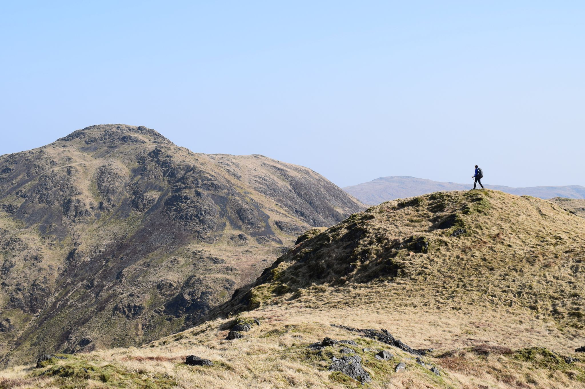
- The most popular gravel bike trail is Loch Dee – Glentrool Visitor Centre loop from Water of Trool, a 46.0 miles (74.1 km) trail that takes approximately 5 hours to complete. This route features significant elevation gain through a remote, scenic landscape.
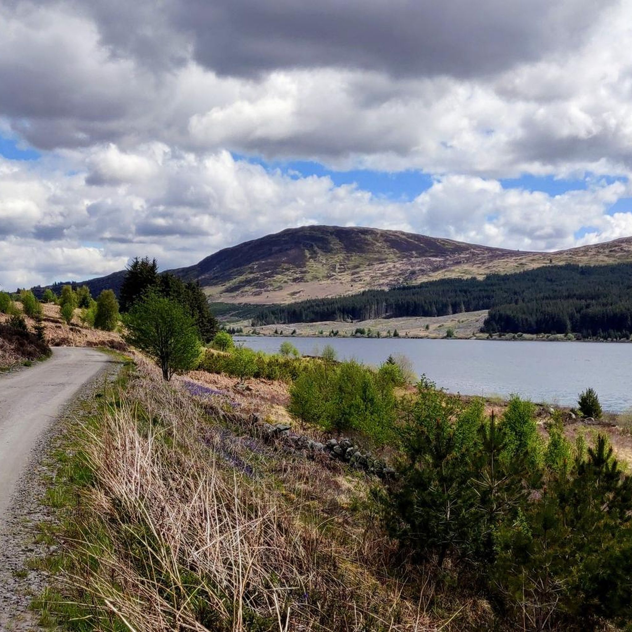
- Another top favourite among local gravel bikers is Loch Doon Castle Ruins – Viewpoint at Loch Riecawr loop from Loch Doon Roundhouse, a difficult 26.6 miles (42.8 km) path. This route explores the shores of Loch Doon, passing historical ruins and offering views across the water.
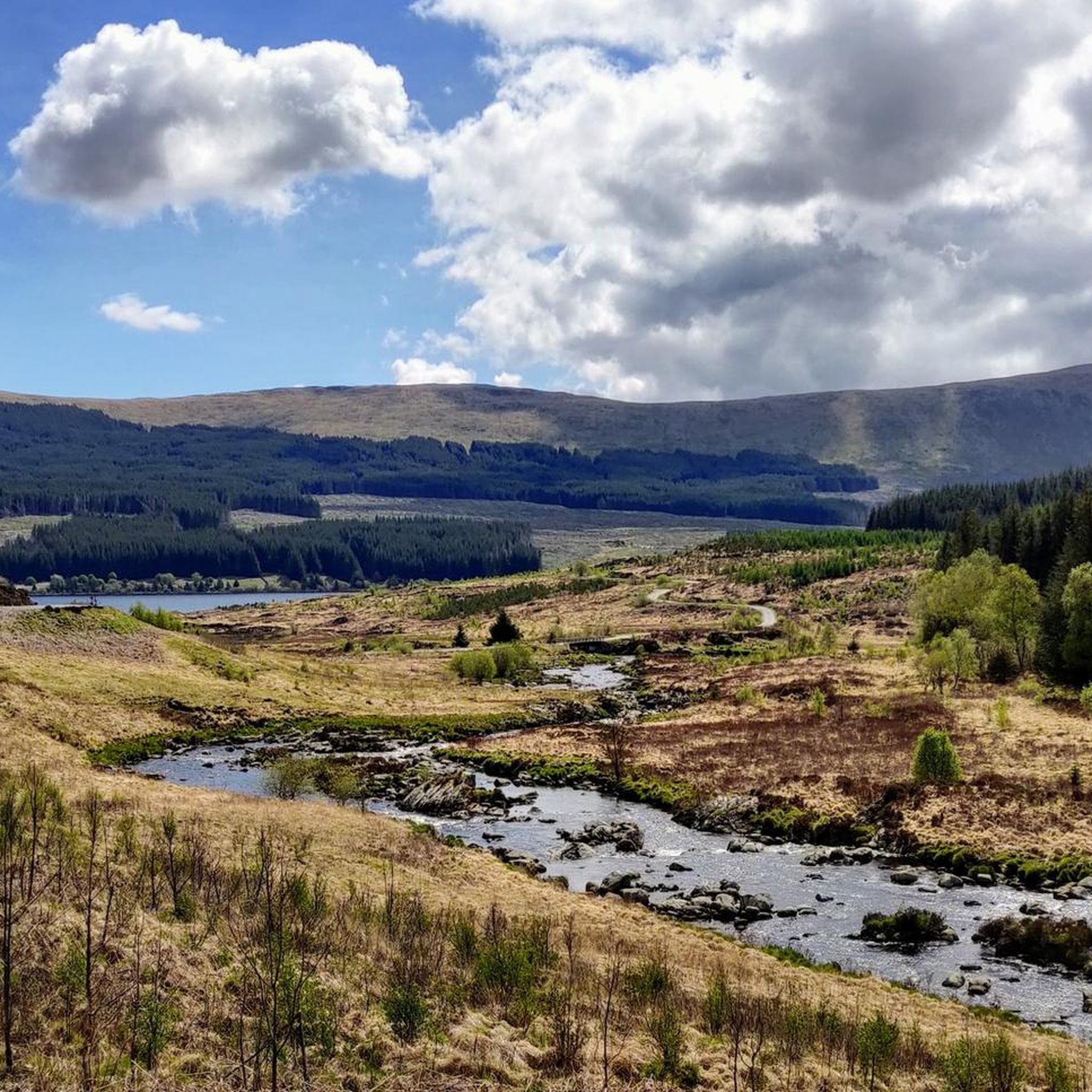
- Local gravel bikers also love the Belston Loch – Gibson's Hill loop from Drongan, a 17.9 miles (28.9 km) trail leading through a mix of open countryside and past lochs, often completed in about 2 hours 40 minutes.
- Gravel biking around Dalmellington is defined by lochs, hills, and forest tracks. The network offers options for both moderate and difficult ability levels.
- The routes in Dalmellington are highly rated by the komoot community with an average score of 5.0 stars. More than 20 gravel bikers have used komoot to explore Dalmellington's varied terrain.
Last updated: July 3, 2026
9
riders
74.1km
04:59
960m
960m
Hard gravel ride. Very good fitness required. You may need to push your bike for some segments of this route.
5.0
(2)
18
riders
Hard gravel ride. Very good fitness required. Mostly paved surfaces. Suitable for all skill levels.

Sign up for free
5
riders
43.3km
03:40
700m
700m
Hard gravel ride. Very good fitness required. Mostly paved surfaces. Suitable for all skill levels.
1
riders
28.9km
02:14
410m
410m
Moderate gravel ride. Good fitness required. Mostly paved surfaces. Suitable for all skill levels.
1
riders
66.0km
04:09
930m
930m
Hard gravel ride. Very good fitness required. Mostly paved surfaces. Suitable for all skill levels.
Our route recommendations are based on thousands of hikes, rides, and runs completed by other people on komoot.
Start today with a free account
Your next adventure awaits.
Login or Signup
Other adventures around Dalmellington

Tips from the Community


Very rough road the other side, great climb tho!
0
0


Glentrool area is known for its legends of stone throwing giants. The Giant Axe Head overlooks Loch Dee. It closely resembles actual neolithic stone axes and has runic text throughout.
1
0

You can’t continue on this road and take the forrest track on to Stration.
0
0
Work began in September 1916 and an airfield, slipways, piers, jetties, seaplane hangars, tramways and other associated buildings erected. The remains of these can still be found on the Loch shore today. The loch was dammed in the 1930s, raising the water some 27 feet (8.2 m) to provide seasonal storage for the Galloway hydro-electric power scheme. As a reservoir, Loch Doon has an effective capacity of over 82 million cubic metres. When rainfall is plentiful, water is diverted to the loch from the Water of Deugh via a tunnel system. When water is required for power generation, water is released at Drumjohn to feed Kendoon power reservoir, the first in a series of generating stations and reservoirs on the Water of Ken. During construction work, the ruins of the castle were moved from an island in the Loch to the shore to avoid the rising water. Air crashes Edit Two aircraft are known to have crashed in or near the Loch in the Second World War.
0
0

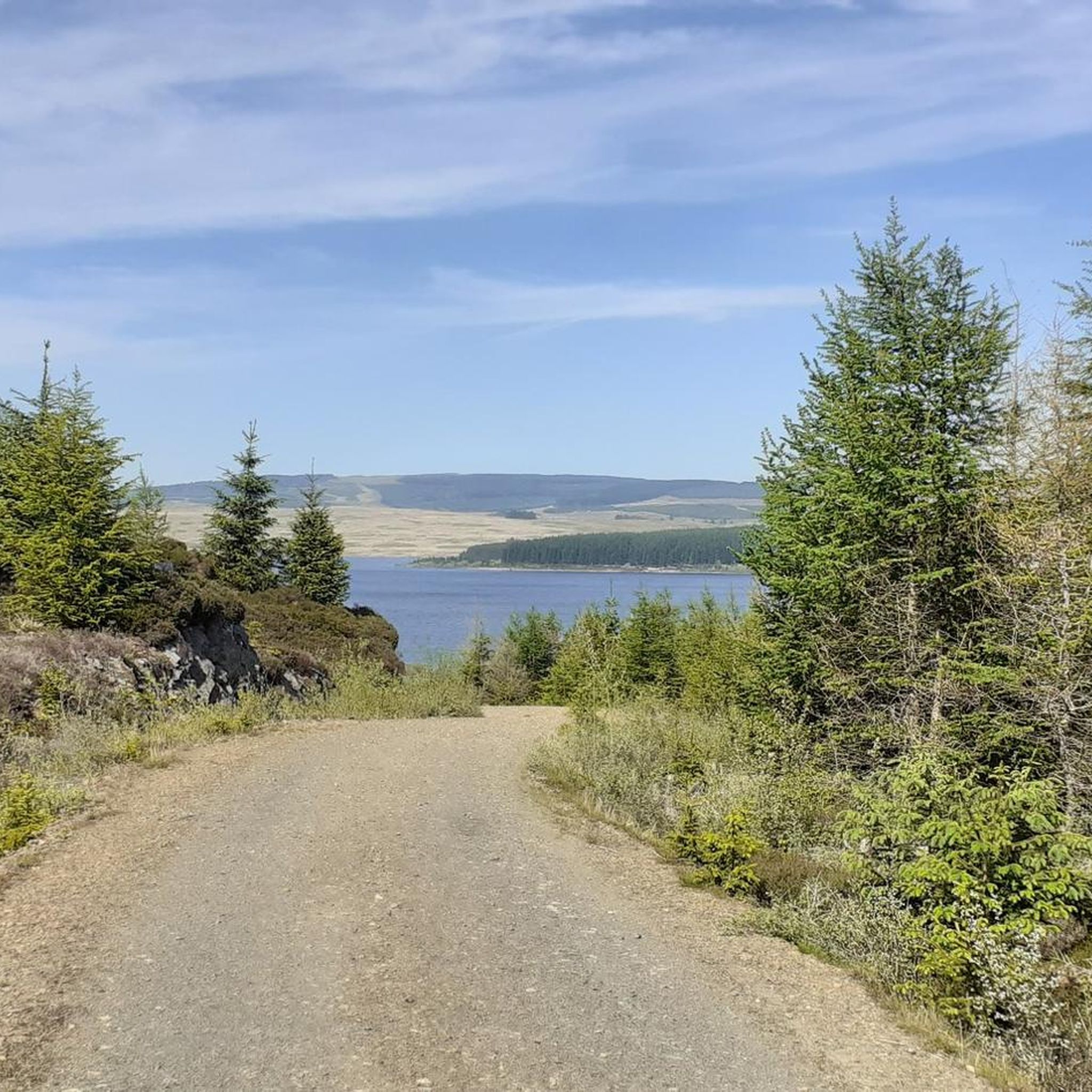
Good view across the valley just past the log stack (low cloud permitting).
0
0
Frequently Asked Questions
What kind of terrain can I expect on gravel bike trails around Dalmellington?
The Dalmellington area offers a diverse landscape for gravel biking, characterized by numerous lochs, rolling hills, and expansive forest areas. You'll encounter a mix of open moorland and forested tracks, providing varied surfaces suitable for gravel bikes. Elevations range from gentle inclines to more challenging climbs.
Are there any easy or moderate gravel bike routes in Dalmellington?
While many routes in the region are considered difficult, there is a notable moderate option: the Belston Loch – Gibson's Hill loop from Drongan. This trail is 17.9 miles (28.9 km) long and leads through open countryside and past lochs, making it a good choice for those seeking a less strenuous ride.
Which gravel bike trails offer the most scenic views or pass by natural landmarks?
Many routes in Dalmellington are scenic. For stunning views, consider the Loch Doon Castle Ruins – Viewpoint at Loch Riecawr loop from Loch Doon Roundhouse, which explores the shores of Loch Doon and passes historical ruins. You can also find beautiful vistas of Loch Trool from the Southern Upland Way, which some routes traverse.
Are there any long-distance gravel bike routes suitable for a full day's adventure?
Yes, for a longer adventure, the Loch Dee – Glentrool Visitor Centre loop from Water of Trool is an excellent choice. This challenging route spans 46.0 miles (74.1 km) with significant elevation gain, taking approximately 5 hours to complete through a remote and scenic landscape.
What kind of historical sites or points of interest can I find along the gravel routes?
The area is rich in natural beauty and some historical elements. The Loch Doon Castle Ruins – Viewpoint at Loch Riecawr loop from Loch Doon Roundhouse passes by the historic Loch Doon Castle Ruins. Additionally, you might encounter various lochs like Loch Dee and Cornish Loch, and even facilities like the Roundhouse Osprey Lounge & Visitor Information Centre at Loch Doon.
Are there any circular gravel bike routes around Dalmellington?
Many of the gravel bike routes in Dalmellington are designed as loops. For example, the Loch Dee – Glentrool Visitor Centre loop from Water of Trool and the Belston Loch – Gibson's Hill loop from Drongan are both excellent circular options, allowing you to start and finish at the same point.
What do other gravel bikers say about the trails in Dalmellington?
The gravel biking routes around Dalmellington are highly regarded by the komoot community, with an average score of 5.0 stars. More than 20 gravel bikers have explored the varied terrain, often praising the remote, scenic landscapes and the challenging yet rewarding climbs.
What is the best time of year to go gravel biking in Dalmellington?
The best time to go gravel biking in Dalmellington is generally during the drier months, typically from late spring to early autumn. This period offers more predictable weather and less muddy trail conditions, making for a more enjoyable ride through the open moorland and forest tracks.
Are there any specific challenges or considerations for advanced gravel bikers in Dalmellington?
Advanced gravel bikers will find several challenging routes in Dalmellington, characterized by significant elevation gains and remote sections. The Loch Dee – Glentrool Visitor Centre loop from Water of Trool, for instance, features nearly 1000 meters of elevation gain over 46 miles, demanding good fitness and bike handling skills.
Are there any facilities like cafes or visitor centers along the gravel bike trails?
While many routes traverse remote areas, you can find facilities such as the Roundhouse Osprey Lounge & Visitor Information Centre near Loch Doon, which can be a convenient stop for refreshments or information. The Loch Dee – Glentrool Visitor Centre loop from Water of Trool also passes by the Glentrool Visitor Centre.
What are the typical trail conditions like, especially regarding mud?
Given the region's climate and terrain, trails can be muddy, especially after rainfall or during wetter seasons. The routes often traverse open moorland and forested tracks, which can retain moisture. It's advisable to check local weather conditions and recent trail reports before heading out, and to equip your bike appropriately for potentially soft or muddy surfaces.
Most popular routes around Dalmellington
Most popular attractions around Dalmellington

Get inspired with the komoot mobile app


Explore more
Browse the best Gravel rides in other regions.
