The best gravel rides around Drongan, Rankinston And Stair
5.0
(2)
22
riders
3
rides
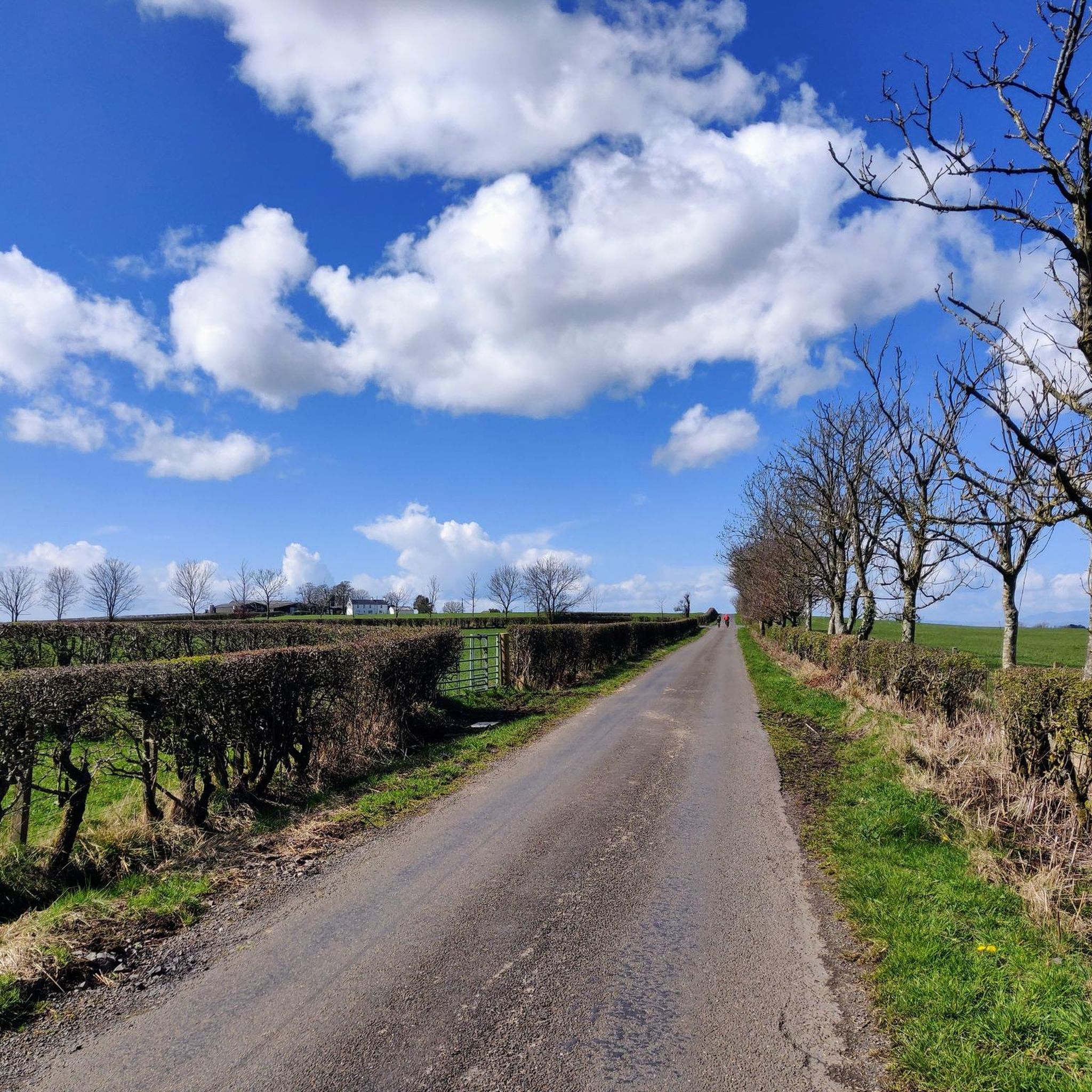
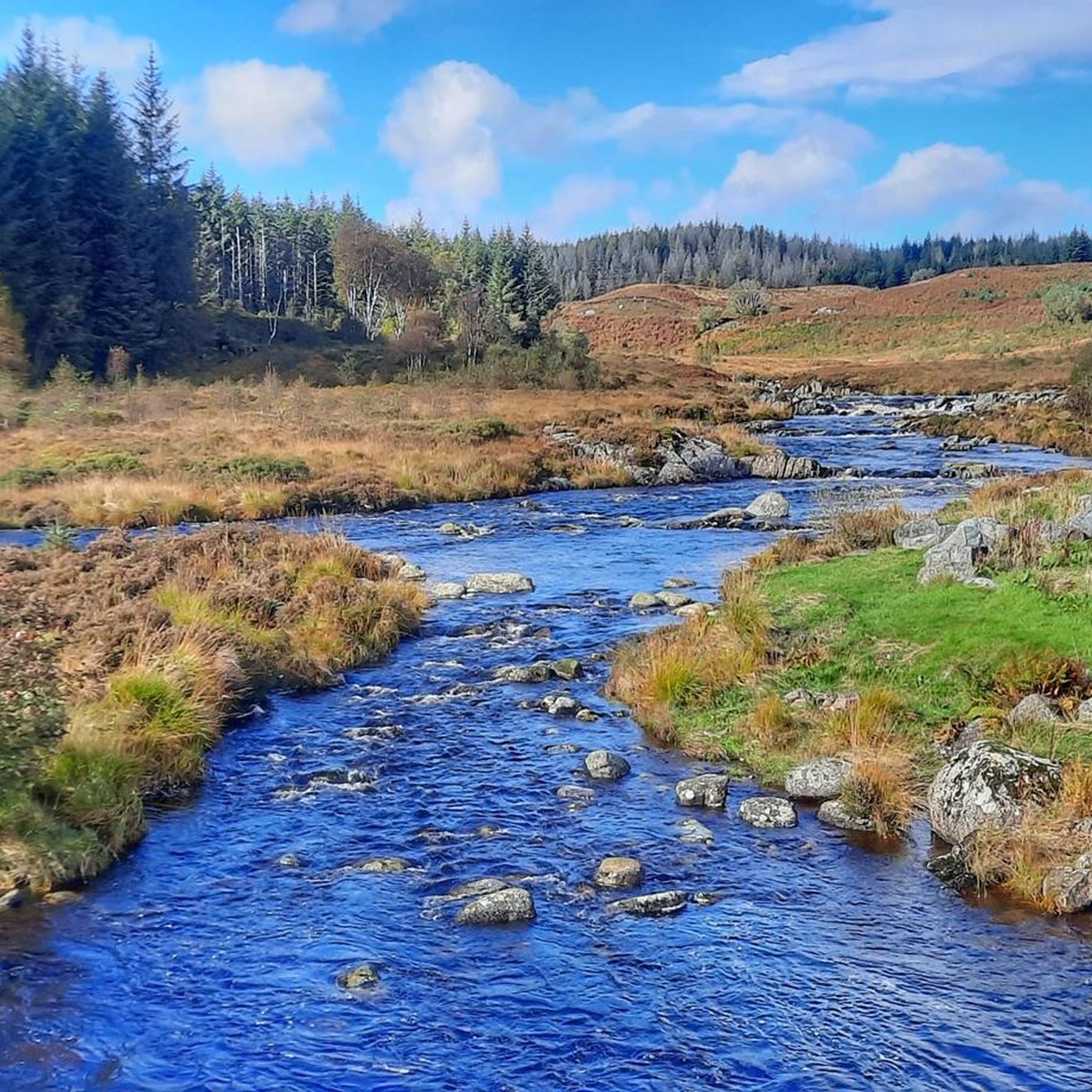
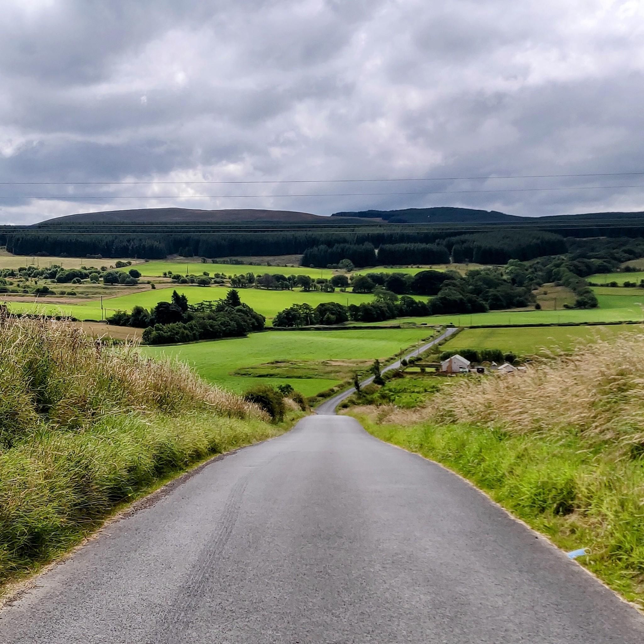
Gravel biking around Drongan, Rankinston And Stair offers varied terrain across East Ayrshire's rural landscape. The region features gentle rolling hills, picturesque river valleys, and mixed woodlands, providing a diverse backdrop for off-road cycling. Open moorland and developed pathways, such as those in Hannahston Woods, contribute to the area's suitability for gravel bike trails. The landscape combines aspects of road cycling and mountain biking, with routes following waterways like the River Ayr.
Best gravel bike trails around Drongan, Rankinston And…
Last updated: August 26, 2026
5.0
(2)
18
riders
Hard gravel ride. Very good fitness required. Mostly paved surfaces. Suitable for all skill levels.
1
riders
28.9km
02:14
410m
410m
Moderate gravel ride. Good fitness required. Mostly paved surfaces. Suitable for all skill levels.

Sign up for free
1
riders
66.0km
04:09
930m
930m
Hard gravel ride. Very good fitness required. Mostly paved surfaces. Suitable for all skill levels.
83.2km
05:53
1,220m
1,220m
Hard gravel ride. Very good fitness required. Mostly paved surfaces. Suitable for all skill levels.
2
riders
31.2km
02:16
460m
460m
Hard gravel ride. Very good fitness required. Mostly paved surfaces. Suitable for all skill levels.
Our route recommendations are based on thousands of hikes, rides, and runs completed by other people on komoot.
Start today with a free account
Your next adventure awaits.
Login or Signup
Tips from the Community


This modern piece of sculpture which represents various facets of industrial and community life in Dalmellington.
0
0
There is also a cafe to relax and refuel with a delicious selection of hot and cold refreshments.
0
0

Very rough road the other side, great climb tho!
0
0


Memorial to the covenanters killed at The Battle of Aird's Moss located in the grounds of Auchinleck Parish Church. This battle took place between The Scottish Covenanters and the Royalist troops of King Charles II in 1680. This period of ongoing hostilities was known as 'The Killing Time' The Covenanters were members of a religious and political movement in the 17th century. This stemmed from the dissatisfaction with the doctrine of Kings Charles I who believed that the King was the head of the church and wished to unite the churches of Scotland and England. Many of these changes were deemed too Catholic for the Presbyterian Scottish Kirk who believed they were subject only to God.
0
0

You can’t continue on this road and take the forrest track on to Stration.
0
0
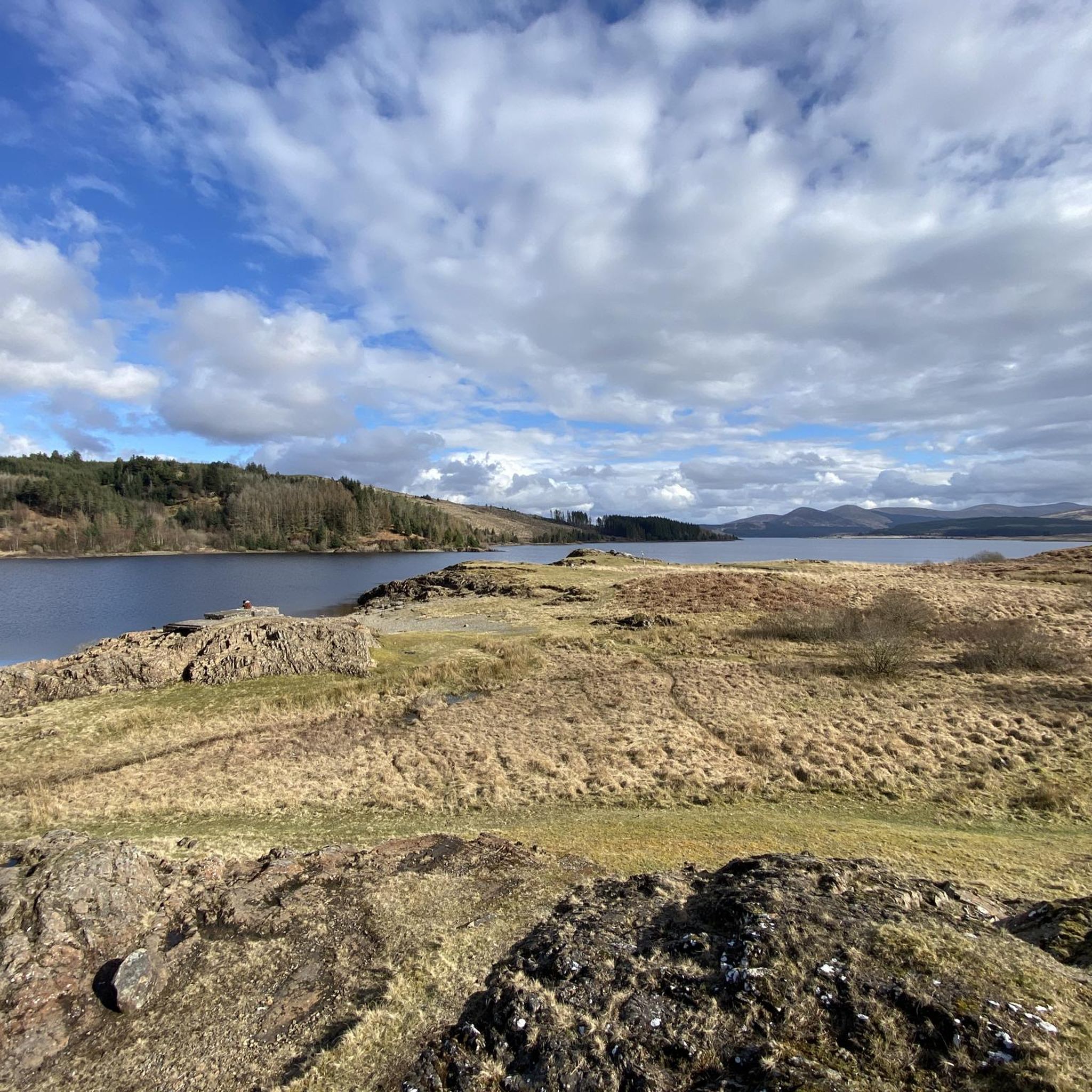
Work began in September 1916 and an airfield, slipways, piers, jetties, seaplane hangars, tramways and other associated buildings erected. The remains of these can still be found on the Loch shore today. The loch was dammed in the 1930s, raising the water some 27 feet (8.2 m) to provide seasonal storage for the Galloway hydro-electric power scheme. As a reservoir, Loch Doon has an effective capacity of over 82 million cubic metres. When rainfall is plentiful, water is diverted to the loch from the Water of Deugh via a tunnel system. When water is required for power generation, water is released at Drumjohn to feed Kendoon power reservoir, the first in a series of generating stations and reservoirs on the Water of Ken. During construction work, the ruins of the castle were moved from an island in the Loch to the shore to avoid the rising water. Air crashes Edit Two aircraft are known to have crashed in or near the Loch in the Second World War.
0
0
Frequently Asked Questions
How many gravel bike trails are available in the Drongan, Rankinston And Stair area?
This guide features 3 curated gravel bike routes around Drongan, Rankinston And Stair. These routes range from moderate to difficult, offering diverse experiences across the region's varied terrain.
What kind of terrain can I expect on gravel bike trails in this region?
The terrain around Drongan, Rankinston And Stair is characterized by gentle rolling hills, picturesque river valleys, and mixed woodlands. You'll encounter a mix of open moorland, forest paths, and agricultural tracks, providing a varied and scenic backdrop for gravel biking.
Are there any family-friendly gravel bike routes in the Drongan area?
While many routes in the wider East Ayrshire area are suitable for families, the trails directly featured in this guide tend to be more challenging. For a moderate option that explores a scenic loch and undulating hills, consider the Belston Loch – Gibson's Hill loop from Drongan. Always check the route details for elevation and distance to ensure it suits your family's abilities.
Can I bring my dog on the gravel bike trails?
Many of the natural paths and woodlands in the Drongan, Rankinston And Stair area, including those found along the River Ayr Way and in Hannahston Community Woodland, are suitable for dogs. However, always keep dogs under control, especially near livestock or on shared paths, and check specific route details for any restrictions. The Belston Loch – Gibson's Hill loop from Drongan is a good option to explore with a well-behaved dog.
What are some interesting landmarks or natural features to see along the trails?
The region offers several points of interest. You can explore the serene Belston Loch, or venture further to the dramatic Ness Glen Gorge with its roaring waterfalls. The Roundhouse Osprey Lounge & Visitor Information Centre at Loch Doon is also a popular spot, accessible via routes like the Loch Doon Castle Ruins – Viewpoint at Loch Riecawr loop from Loch Doon Dam.
Are there any challenging gravel bike routes in the area?
Yes, the region offers several challenging routes with significant elevation gain. For a demanding ride, consider the Viewpoint at Loch Riecawr – Loch Doon Castle Ruins loop from Straiton, which covers over 66 km and nearly 1000 meters of ascent. Another difficult option is the Hannahston Community Woodland – The Coylton Arms loop from Coylton.
What is the best time of year for gravel biking in Drongan, Rankinston And Stair?
The region's mixed woodlands and open moorland are beautiful throughout the year. Spring and autumn offer pleasant temperatures and vibrant scenery, while summer provides longer daylight hours. Winter rides are possible, but be prepared for potentially muddy conditions and shorter days. Always check local weather forecasts before heading out.
Are there any routes that pass through woodlands or forests?
Yes, the area is rich in woodlands. Hannahston Community Woodland features developed pathways suitable for cycling, and routes like the Hannahston Community Woodland – The Coylton Arms loop from Coylton incorporate these forested sections. The general landscape around Drongan, Rankinston, and Stair includes mixed woodlands, providing shaded and scenic sections for your ride.
What do other gravel bikers enjoy most about gravel biking in Drongan, Rankinston And Stair?
The komoot community rates the gravel biking experience in this area highly, with an average score of 5.0 stars. Reviewers often praise the diverse terrain, from rolling hills to serene lochs, and the sense of exploration offered by the extensive network of trails.
Are there any long-distance gravel biking options?
For those seeking longer rides, the Waterside Bing – Dumfries House Estate loop from Auchinleck offers an extensive route of over 83 km. The River Ayr Way, a 'Great Trail' of East Ayrshire, also provides opportunities for long-distance gravel riding, following the river through diverse natural settings.
Where can I find parking for gravel biking near Rankinston?
Parking is generally available in and around the villages of Drongan, Rankinston, and Stair. For specific routes, check the starting points on komoot for designated parking areas. Many routes, especially those starting from more rural locations, will have roadside parking or small car parks available.
Are there any routes that follow waterways?
Yes, the region is crisscrossed by waterways. The River Ayr Way is a prominent feature, offering trails that follow the River Ayr. Routes like the Loch Doon Castle Ruins – Viewpoint at Loch Riecawr loop from Loch Doon Dam also take you past significant bodies of water, providing scenic views along the way.
Most popular routes around Drongan, Rankinston And Stair
Most popular attractions around Drongan, Rankinston And Stair

Get inspired with the komoot mobile app


Explore more
Browse the best Gravel rides in other regions.
