The best running trails around Drongan, Rankinston And Stair
4.5
(8)
1,135
runners
71
runs
Jogging routes around Drongan, Rankinston And Stair offer a diverse landscape for runners, characterized by extensive path networks, ancient woodlands, and varied water features. The region features open moorland, shaded river gorges, and rolling hills, providing options for different fitness levels. This area in East Ayrshire is known for its natural beauty, including the River Ayr and several lochs, making it suitable for outdoor activities.
Best jogging routes around Drongan, Rankinston And Stair
- The most popular jogging route is Peden's…
Last updated: September 4, 2026
4.0
(1)
2
runners
9.48km
01:04
100m
100m
Moderate run. Good fitness required. Mostly paved surfaces. Suitable for all skill levels.
58
runners
10.4km
01:13
160m
160m
Moderate run. Good fitness required. Mostly paved surfaces. Suitable for all skill levels.

Sign up for free
12
runners
30.1km
03:36
350m
350m
Hard run. Very good fitness required. Mostly paved surfaces. Suitable for all skill levels.
6
runners
5.80km
00:37
60m
60m
Moderate run. Good fitness required. Mostly paved surfaces. Suitable for all skill levels.
8
runners
5.12km
00:38
70m
70m
Moderate run. Good fitness required. Mostly paved surfaces. Suitable for all skill levels.
Get access to more routes and recommendations from other explorers.
Sign up for free
Already have an account?
Our route recommendations are based on thousands of hikes, rides, and runs completed by other people on komoot.
Start today with a free account
Your next adventure awaits.
Login or Signup
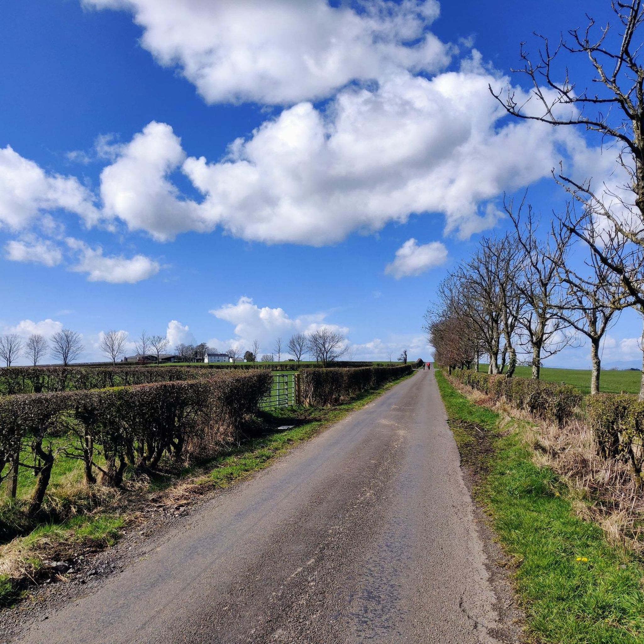
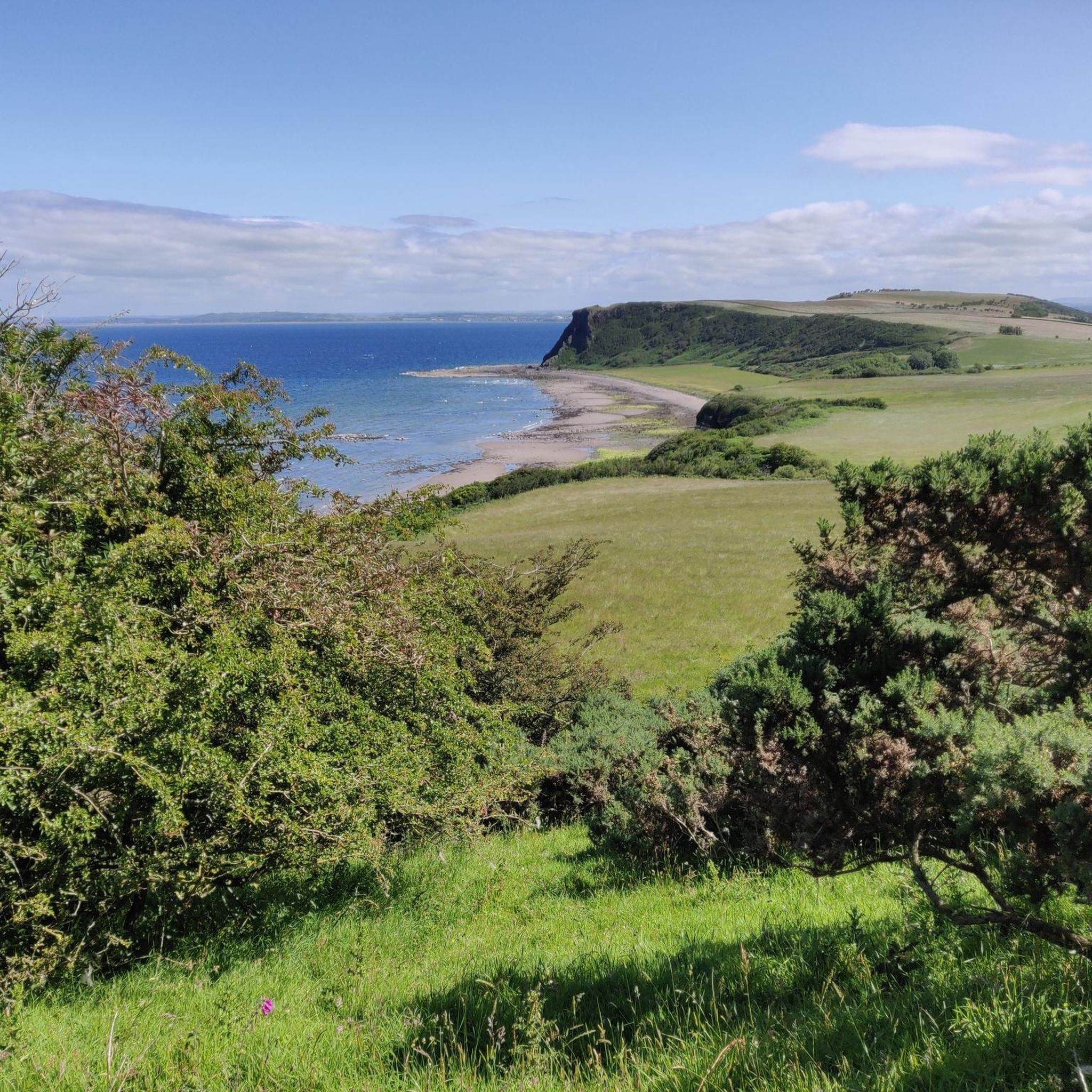
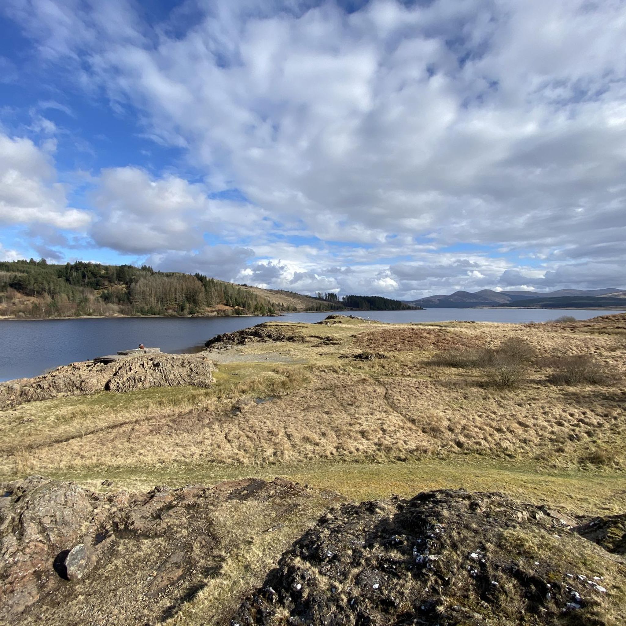
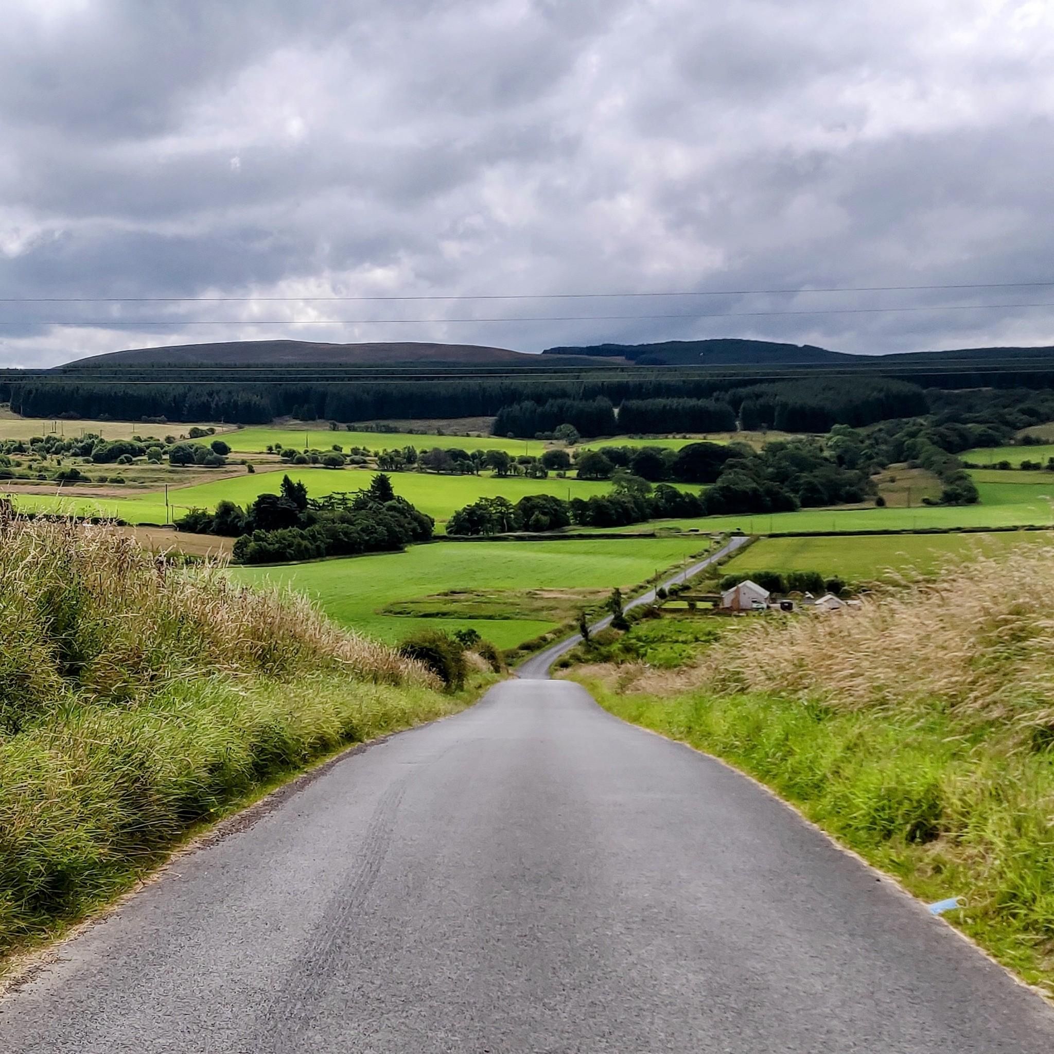
Tips from the Community

Bogton Loch is a small, tranquil lake. It is nestled in a gentle landscape of meadows and hills and provides habitat for numerous birds and amphibians. The loch is a popular place for nature watching, walks and quiet recreation away from tourist centers.
0
0

Purportedly the location that Prophet Peden, famed Covenanter gave illicit sermons to the people of Ayrshire. Alexander Peden was a minister in the 17th century who, along with many others joined the cause of the Covenanters (see the Covenanters Highlight also on this route). He was one of the most famous of the Field Preacher's of the time, and wandered the hillsides of southern Scotland preaching to the masses. He was almost captured many times and took to wearing a cloth mask to hide his identity, which is now on display in Edinburgh's Museum of Scotland. However, in June 1673 he was captured and sentenced to transportation to America. The captain of the chartered ship discovered the reason for his transportation and set him free. Peden returned to Scotland and continued to preach until his death from ill health in 1686.
0
0


Lovely views of an arched bridge crossing over the River Doon.
2
0
Enjoy the still and refreshing waters of Bogton Loch situated near the town of Dalmellington. The path around the loch is grassy and undulating and provides some wonderful views across the surrounding rolling countryside.
2
0
Great views across the River Ayr as you follow the footpath along the banks.
1
0
Beautiful little cafe serving hot and cold food set in an idyllic spot next to the river. Fuel up before your walk whilst enjoying the scenery.
1
0
Frequently Asked Questions
How many running routes are available in the Drongan, Rankinston, and Stair area?
There are over 70 running routes available for you to explore in the Drongan, Rankinston, and Stair region. These routes offer a diverse landscape suitable for various fitness levels and preferences.
What do other runners say about the jogging routes in Drongan, Rankinston, and Stair?
The running routes in Drongan, Rankinston, and Stair are highly rated by the komoot community, with an average score of 4.7 stars from 3 reviews. Over 1000 runners have used komoot to explore the varied terrain, often praising the scenic beauty and extensive path networks.
Are there easy running routes suitable for beginners in Drongan, Rankinston, and Stair?
Yes, the area offers several easy running routes perfect for beginners. You can find 4 routes classified as easy, providing gentle terrain to get started with your jogging adventures.
Can I find challenging running trails with significant elevation in this region?
Absolutely. The Drongan, Rankinston, and Stair area features varied terrain, including open moorland and undulating hills. There are 16 routes classified as difficult, offering more challenging runs with significant elevation changes for experienced runners. An example is the View of the River Ayr – River Ayr loop from Annbank, which covers nearly 20 km with over 138 meters of elevation gain.
What natural features can I expect to see while jogging around Drongan, Rankinston, and Stair?
The region is rich in natural beauty. You can expect to encounter ancient woodlands like the Ayr Gorge Woodlands, the scenic River Ayr, and various water bodies including Trabboch Loch and the Loch of Stair. The area also boasts extensive path networks through environmental assets such as Hannahston, Sinclairston, and Kyle Woods.
Which running routes offer panoramic views?
For breathtaking panoramic views, consider routes around Rankinston. This village provides outstanding vistas over the Doon Valley, stretching north to include Ayr, Prestwick, and Troon, with glimpses of Arran on a clear day. Many forest walks in this area will offer inspiring backdrops for your run.
Are there any interesting landmarks or points of interest along the running trails?
Yes, you can discover several notable landmarks. The Burns Memorial Tower – Aroma at The Cross loop from Mauchline takes you past the historic Burns Memorial Tower. Additionally, the impressive Ballochmyle Viaduct, Britain's highest railway viaduct still in use, is a significant historical landmark that can be incorporated into scenic running loops.
Are there circular running routes available in the Drongan, Rankinston, and Stair area?
Yes, many of the running routes in the area are circular, allowing you to start and finish at the same point. For example, the popular Peden's Cove Rock Steps – Ayr Gorge Woodlands loop from Failford is a circular trail that takes you through ancient woodlands.
Are the running trails in Drongan, Rankinston, and Stair suitable for families?
Many of the extensive path networks in East Ayrshire are suitable for various leisure pursuits, including family-friendly walks and jogs. Look for routes classified as 'easy' or 'moderate' for options that are generally more accessible for families. The varied terrain ensures there are paths for all ages and abilities.
Can I bring my dog on the running routes in this region?
Generally, dogs are welcome on many of the outdoor paths and trails in the Drongan, Rankinston, and Stair area. However, it's always recommended to keep dogs on a lead, especially in areas with livestock or sensitive wildlife, and to follow the Scottish Outdoor Access Code. Always check local signage for any specific restrictions.
Is there public transport access to the starting points of running routes?
While specific public transport details for every route starting point are not provided, the villages of Drongan, Rankinston, and Stair are part of the East Ayrshire region, which has local bus services. It's advisable to check local bus timetables and routes to plan your journey to the trailheads.
What is the best time of year for jogging in Drongan, Rankinston, and Stair?
The Drongan, Rankinston, and Stair area offers enjoyable running conditions throughout much of the year. Spring and autumn provide pleasant temperatures and beautiful scenery with changing foliage. Summer is also great, though some paths might be more exposed. Winter running is possible, but be prepared for potentially wet or icy conditions, especially on higher ground or shaded paths.
Are there any specific permits required for jogging on these trails?
No specific permits are generally required for jogging on the public path networks and trails in the Drongan, Rankinston, and Stair area. The extensive path networks are designed for public access and enjoyment. However, always respect private land and follow the Scottish Outdoor Access Code.
Most popular routes around Drongan, Rankinston And Stair
Most popular attractions around Drongan, Rankinston And Stair

Get inspired with the komoot mobile app


Explore more
Browse the best Running Trails & Routes in other regions.
