The best gravel rides in Schöllkrippener Forst
4.8
(43)
293
riders
60
rides
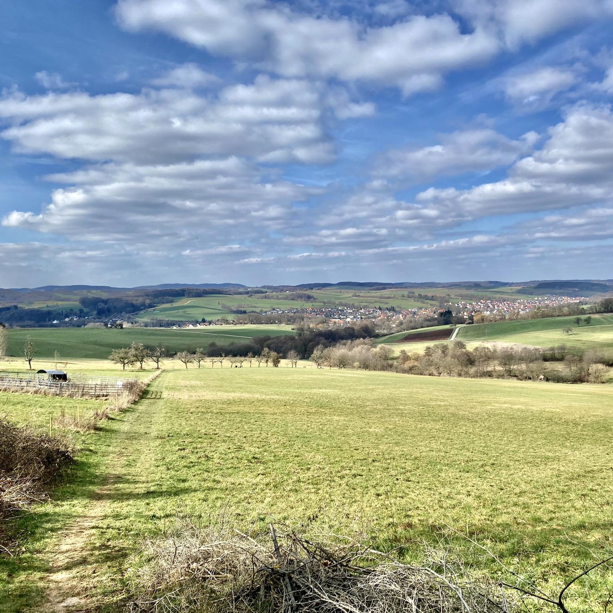
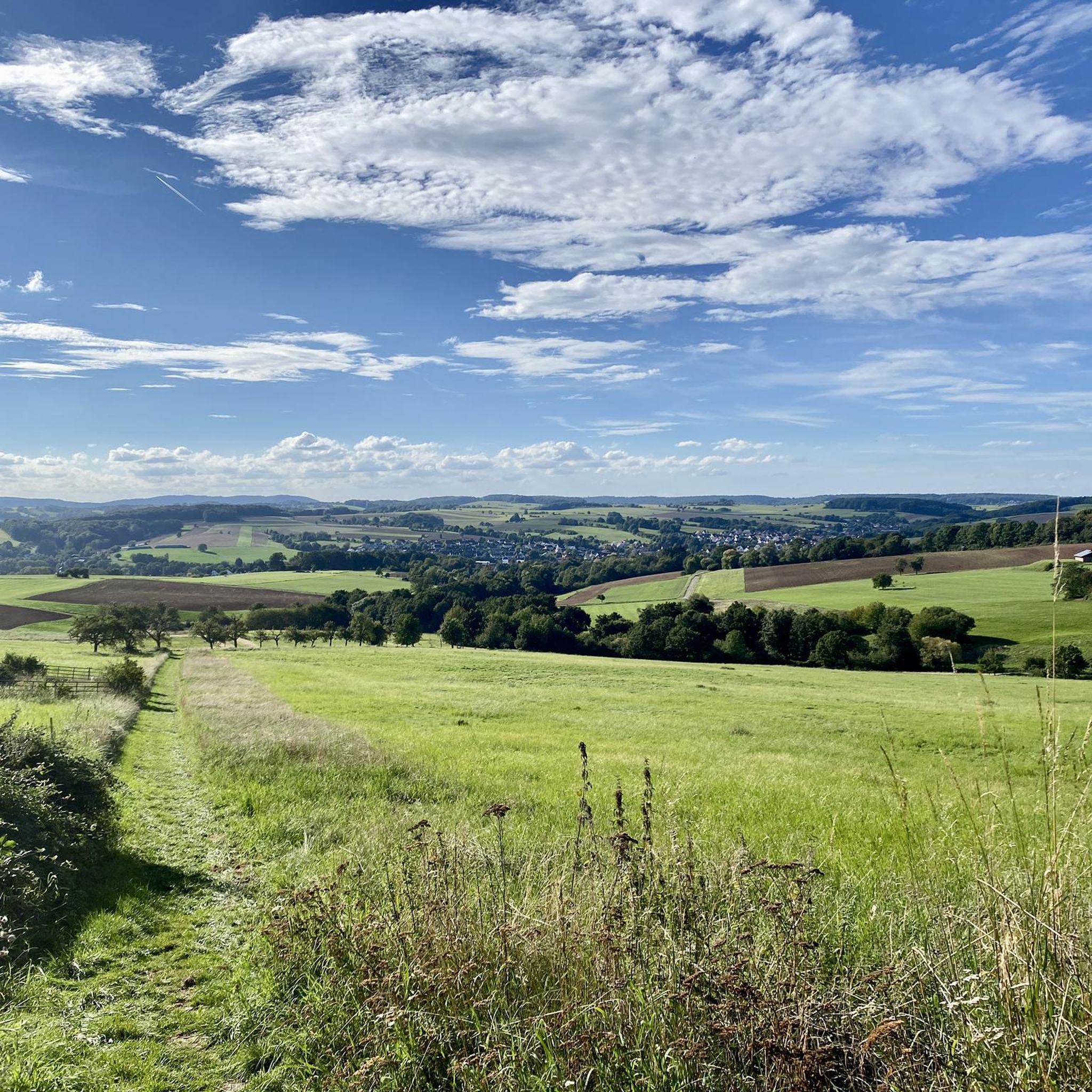
Gravel bike trails in Schöllkrippener Forst are characterized by an extensively wooded landscape within the northern Bavarian Spessart mountains. The region features varied topography, with elevations ranging from 281 meters to 520 meters at the Spindelberg. This mix of forest paths, gravel tracks, and some paved sections provides diverse surfaces suitable for gravel biking. The terrain includes constant ups and downs, offering both challenging climbs and enjoyable descents.
Best gravel bike trails in Schöllkrippener Forst
- The most popular gravel bike…
Last updated: June 29, 2026
5.0
(1)
4
riders
Hard gravel ride. Very good fitness required. Mostly paved surfaces. Suitable for all skill levels.
5.0
(1)
7
riders
Hard gravel ride. Very good fitness required. You may need to push your bike for some segments of this route.

Sign up for free
4.8
(5)
15
riders
Hard gravel ride. Very good fitness required. Mostly paved surfaces. Suitable for all skill levels.
4.3
(3)
11
riders
Hard gravel ride. Very good fitness required. Mostly paved surfaces. Suitable for all skill levels.
4
riders
52.9km
02:56
460m
460m
Hard gravel ride. Very good fitness required. Mostly paved surfaces. Suitable for all skill levels.
Get access to more routes and recommendations from other explorers.
Sign up for free
Already have an account?
Our route recommendations are based on thousands of hikes, rides, and runs completed by other people on komoot.
Start today with a free account
Your next adventure awaits.
Login or Signup
Tips from the Community

Large wetland, where water buffalo will soon be grazing.
0
0

There are also many pedestrians here, so ride carefully.
2
0

It is partly a difficult stretch to cycle here relaxed as a 'Biobiker'.
0
0

Beautiful water treading facility in Kleinkahl
0
0
Here is a small village square.
0
0
Especially in the height of summer, it is very pleasant and refreshing to stop here for a rest.
1
0
In winter, it's a good place to drive up to the Englishman's.
0
0
Frequently Asked Questions
How many gravel bike trails are available in Schöllkrippener Forst?
Schöllkrippener Forst offers a wide selection of gravel biking routes, with over 90 trails available on komoot. These range from easy to difficult, catering to various skill levels.
What kind of terrain can I expect on gravel bike trails in Schöllkrippener Forst?
The terrain in Schöllkrippener Forst is characterized by an extensively wooded landscape with varied topography. You'll encounter a mix of forest paths, gravel tracks, and some paved sections. The region features constant ups and downs, with elevations ranging from 281 meters to 520 meters at the Spindelberg, providing both challenging climbs and enjoyable descents.
Are there any family-friendly gravel bike routes in Schöllkrippener Forst?
While many routes in Schöllkrippener Forst are rated as difficult, there are a few easier options available. For families, it's best to look for routes specifically marked as 'easy' on komoot, which will have less elevation gain and shorter distances. Always check the route details for suitability before heading out.
Can I bring my dog on the gravel bike trails?
Schöllkrippener Forst is a natural, forested area with many paths suitable for outdoor activities. While specific dog-friendly route designations aren't always available, generally, dogs are welcome on trails if kept on a leash and waste is properly disposed of. Always be mindful of wildlife and other trail users.
What are some notable natural features or landmarks to see along the gravel bike routes?
The region is rich in natural and historical sights. You can explore the remnants of the Ringwork on the Reuschberg, discover the Luitpold Oak, or marvel at the Giant Silver Firs at Engländer. Other points of interest include a small 'sea of rocks' (Felsenmeer) on the Reuschberg and the Kleinkahlquelle, one of the larger spring sources in the Spessart.
Are there any circular gravel bike routes?
Yes, many of the gravel bike routes in Schöllkrippener Forst are designed as loops. For example, the challenging View of Frammersbach – Wetland in the Spessart Nature Park loop from Heinrichsthal and the Heinrichsthal Telecommunications Tower – Forest Inn "Zum Engländer" loop from Heinrichsthal are popular circular options that allow you to start and end at the same point.
What is the best time of year for gravel biking in Schöllkrippener Forst?
The extensive forests of Schöllkrippener Forst make it enjoyable throughout much of the year. Spring and autumn offer pleasant temperatures and beautiful scenery with changing foliage. Summer can be great, especially in the shade of the trees, but be prepared for warmer weather. Winter riding is possible, but trail conditions may vary due to snow or ice, so check local conditions before you go.
Where can I find parking for gravel biking in Schöllkrippener Forst?
Given the presence of Kreisstraßen (district roads) like AB 19, AB 20, and AB 2 running through the Forst, there are likely various access points and small parking areas near trailheads or villages bordering the forest. It's advisable to check specific route starting points on komoot for detailed parking information.
What do other gravel bikers enjoy most about Schöllkrippener Forst?
The area is highly rated by the komoot community, with an average score of 4.6 stars from over 70 reviews. Riders often praise the diverse and challenging terrain, the extensive wooded landscape, and the opportunity to explore the natural beauty of the Spessart mountains.
Are there any long-distance gravel routes for experienced riders?
For experienced riders seeking a longer challenge, the Wetland in the Spessart Nature Park – Wiesbüttsee loop from Schöllkrippen is a demanding option. This route covers over 100 kilometers with significant elevation gain, offering an extensive exploration of the region's varied landscape.
Can I access the gravel bike trails using public transport?
Schöllkrippener Forst is situated in a rural area. While some villages bordering the forest, like Schöllkrippen, might have public transport connections, direct access to all trailheads via public transport can be limited. Planning your route start point in a village with train or bus service and cycling from there is often the best approach.
Are there any viewpoints or towers along the gravel bike trails?
Yes, several routes offer scenic viewpoints. For instance, the View from the Ludwigsturm – View of Feldkahl loop from Schöllkrippen specifically highlights a viewpoint from the Ludwigsturm, providing expansive vistas over the surrounding Spessart landscape.
Most popular routes in Schöllkrippener Forst
Most popular attractions in Schöllkrippener Forst

Get inspired with the komoot mobile app


Explore more
Browse the best Gravel rides in other regions.
