The best MTB trails in Schöllkrippener Forst
4.7
(3731)
10,204
riders
435
rides
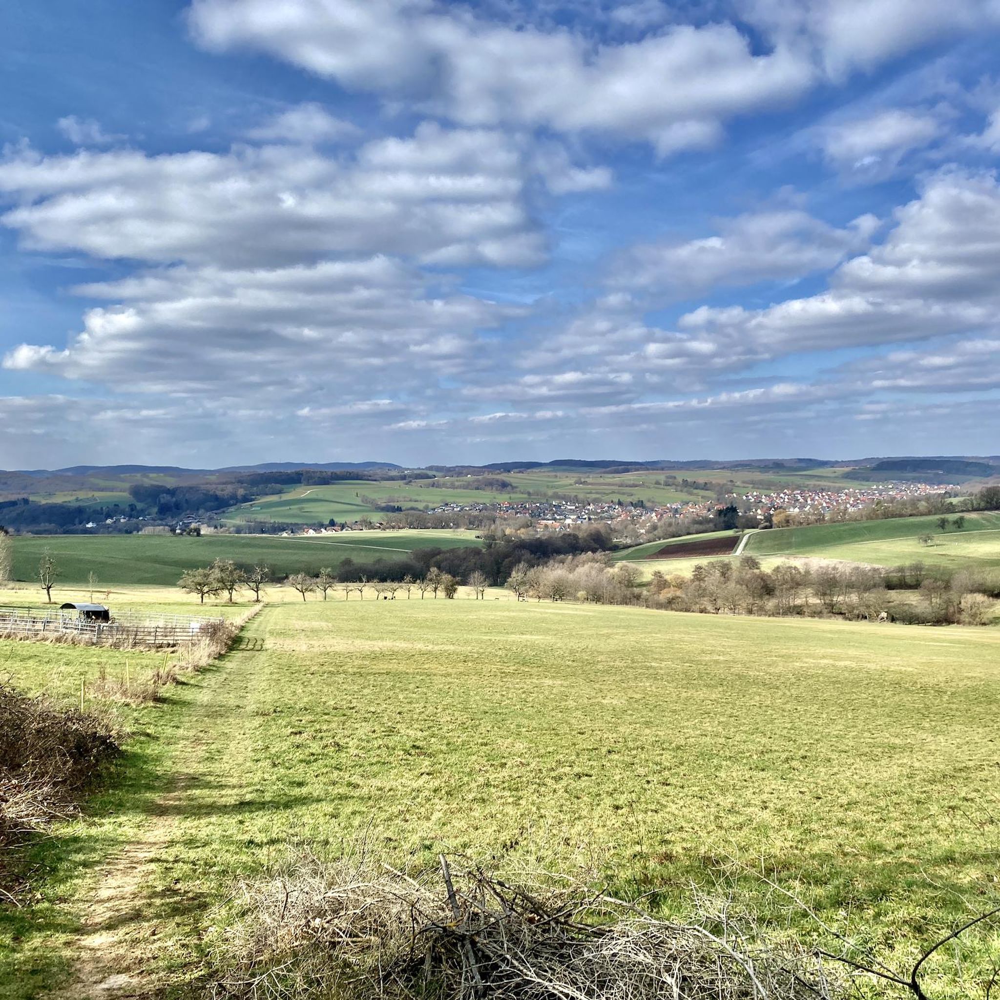
Mountain biking in Schöllkrippener Forst offers diverse landscapes and an extensive trail network within the district of Aschaffenburg, Germany. The region is situated on the edge of the Spessart mountains, featuring dense forests and rolling hills. Mountain bike trails in Schöllkrippener Forst traverse idyllic forest paths, field, and forestry tracks, providing varied terrain for riders. The area is also characterized by the Kahl River Valley, offering additional routes and scenic views.
Best mountain bike trails in Schöllkrippener Forst
- The most…
Last updated: October 4, 2026
4.8
(32)
118
riders
42.7km
03:43
850m
850m
Moderate mountain bike ride. Good fitness required. Advanced riding skills necessary.
5.0
(27)
161
riders
Moderate mountain bike ride. Good fitness required. Advanced riding skills necessary.

5.0
(3)
5
riders
Moderate mountain bike ride. Good fitness required. Advanced riding skills necessary.
4.5
(2)
14
riders
43.8km
03:45
700m
700m
Moderate mountain bike ride. Good fitness required. Advanced riding skills necessary.
4.6
(38)
50
riders
29.5km
02:12
320m
320m
Moderate mountain bike ride. Good fitness required. Advanced riding skills necessary.
Get access to more routes and recommendations from other explorers.
Already have an account?
Our route recommendations are based on thousands of hikes, rides, and runs completed by other people on komoot.
Start today with a free account
Your next adventure awaits.
Tips from the Community

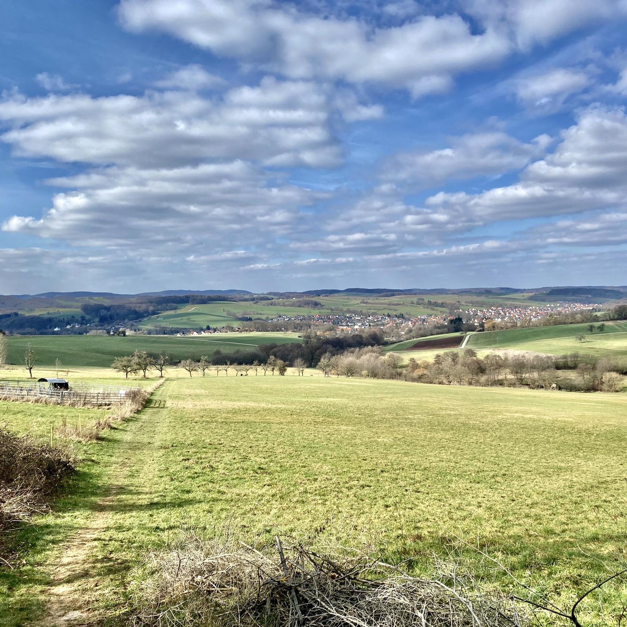
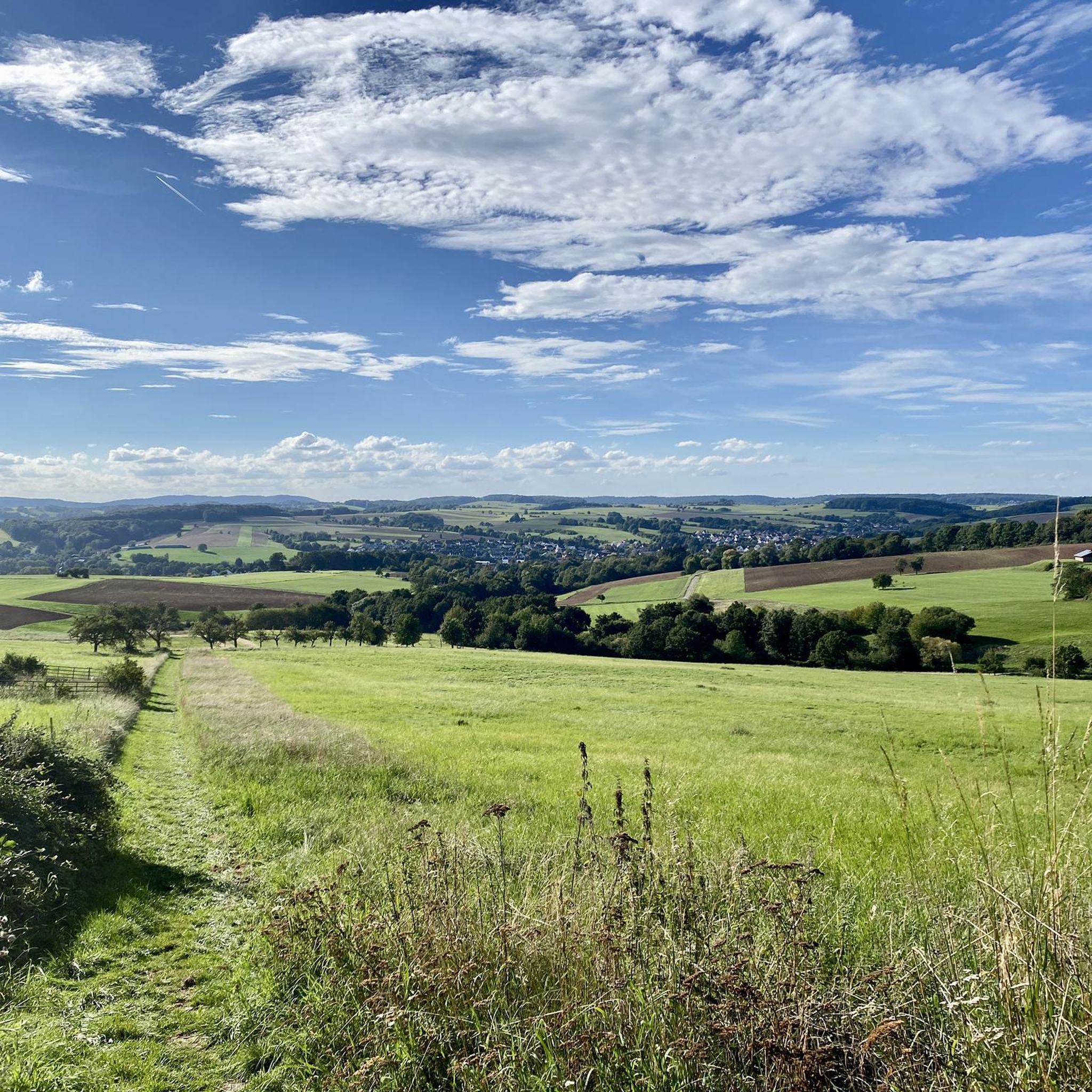
With a bit of luck, you might also see deer in the meadow.
2
0
The Aubach is a small stream/river that meanders gently through the idyllic Aubach valley in its upper reaches. After more than 20 km, the Aubach flows into the Lohr,
2
0
It is a classic arched viaduct, as were usually built on the "Ludwigs-Westbahn" at that time.
2
0

Attention, the trails are closed from November 1st to April 1st and cannot really be bypassed.
0
0

bad road, cool bridge
0
0

Sometimes there is a tree 🌳 in the way.
1
0

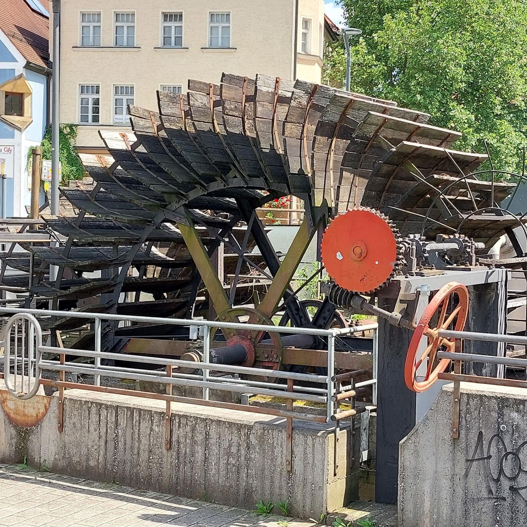
Lake Wiesbütt (formerly Lake Hanauer See) is a forest lake in the Main-Kinzig district of Hesse, in the Spessart region. Lake Wiesbütt is located in the municipality of Flörsbach in the municipality of Flörsbachtal, directly on the state border with Bavaria. The Bavarian/Hessian border runs along the western shore, at the foot of the dam. To the west lies the unincorporated area of Wiesener Forst in the Bavarian district of Aschaffenburg. To the north lies the Spessart High Road (L 2905) and the two old trade routes: Birkenhainer Straße and Eselsweg. To the southwest lies the village of Wiesen in Lower Franconia, to the southeast Mosborn, a district of the municipality of Flörsbachtal, and to the north Bieber, a district of the municipality of Biebergemünd. The artificial lake, created for energy generation and ventilation of the Bieber mines, is now located on the edge of the Wiesbüttmoor nature reserve. The lake has no surface inlet; it is fed underground from the Wiesbüttmoor. A natural overflow drains the water into the Aubachtal valley via the Wiesbüttgraben. The Wiesbüttsee, with its diverse flora, some of which is already threatened with extinction, is part of one of the last raised bogs in Germany. It was created in 1765 by Bieber miners according to plans by mining master Johann Philipp Cancrinus to ventilate and drain the Lochborntalgrund silver, copper, and lead mine tunnels in the summer. It was also intended to provide sufficient water for the Bieber ironworks and the hammer mill. Due to the exceptional ore deposits in the area around Bieber, extensive mining was carried out during this period. The Wiesbüttsee served as a water source for the hydropowered mining machines used to drain and ventilate the tunnels. The water power powered the conveyor system of the ironworks in the Lochhütte until 1925. The former customs house (later a restaurant) commemorates the Bavarian border that was once controlled here. Source: https://de.wikipedia.org/wiki/Wiesbüttsee
4
0

Frequently Asked Questions
How many mountain bike trails are available in Schöllkrippener Forst?
Schöllkrippener Forst offers a comprehensive network of nearly 450 mountain bike trails. These routes cater to various skill levels, with 74 easy, 321 moderate, and 39 difficult options.
What kind of terrain can I expect on mountain bike trails in Schöllkrippener Forst?
The region features diverse terrain, from idyllic forest paths and field tracks to forestry roads. You'll encounter rolling hills, dense forests, and sections along the Kahl River Valley. The area, situated on the edge of the Spessart mountains, provides a mix of climbs and descents.
Are there any family-friendly mountain bike trails in Schöllkrippener Forst?
Yes, Schöllkrippener Forst has 74 easy mountain bike trails suitable for families or beginners. These routes typically feature less challenging terrain and shorter distances, allowing for a relaxed experience in nature.
What are some notable natural features or landmarks to see while mountain biking?
You can explore several interesting natural features and landmarks. Consider visiting the Ringwork on the Reuschberg, a historical site, or the impressive Luitpold Oak. The Giant Silver Firs at Engländer are also a striking natural monument along some routes.
When is the best time of year to go mountain biking in Schöllkrippener Forst?
Spring and autumn are generally ideal for mountain biking in Schöllkrippener Forst. The temperatures are mild, and the terrain conditions are optimal. While trails are accessible year-round, these seasons offer the most pleasant riding experience.
Are there any circular mountain bike routes in the area?
Yes, many routes in Schöllkrippener Forst are designed as loops. For example, the Wiesbüttsee – Aubach Lakes loop from Jakobsthal is a popular moderate circular trail exploring natural beauty. Another option is the Forest Inn "Zum Engländer" – Eselsweg Trail loop from Sailaufer Forst, which includes sections of a historic path.
What do other mountain bikers say about the trails in Schöllkrippener Forst?
The mountain bike trails in Schöllkrippener Forst are highly regarded by the komoot community, with an average rating of 4.7 stars from over 3,000 reviews. Riders often praise the diverse landscapes, the extensive network of trails, and the scenic views of the Spessart region.
Are there places to eat or rest along the mountain bike trails?
Yes, you can find places to rest and refuel. The Forest Inn "Zum Engländer" is a well-known spot, and the Rodberg Hut also offers a place to stop. These locations are often integrated into popular routes, providing convenient breaks.
Are there any challenging mountain bike routes for experienced riders?
Yes, Schöllkrippener Forst offers 39 difficult mountain bike trails for experienced riders seeking a challenge. These routes often feature steeper climbs, technical descents, and longer distances. Some trails lead into the Spessart forest, known for its demanding sections.
Can I find routes that offer great views or panoramas?
Absolutely. Many routes provide fantastic views of the surrounding Spessart landscape and the Kahlgrund. The region's rolling hills and dense forests create numerous vantage points for scenic panoramas. Look for trails that ascend to higher elevations for the best vistas.
Are there any trails that pass by water features like lakes or rivers?
Yes, the region is characterized by the Kahl River Valley, and several routes incorporate water features. The Wiesbüttsee – Aubach Lakes loop from Jakobsthal, for instance, explores the natural beauty around Wiesbüttsee and the Aubach Lakes, offering pleasant scenery along the water.
What is the typical duration for mountain bike tours in Schöllkrippener Forst?
Tour durations vary significantly depending on the route's length and difficulty. Moderate trails like the Wiesbüttsee – Aubach Lakes loop can take around 3 hours 46 minutes, while longer routes such as the Forest Inn "Zum Engländer" – Heigenbrücken Biotopes loop might take over 4 hours.
Most popular routes in Schöllkrippener Forst
Most popular attractions in Schöllkrippener Forst

Get inspired with the komoot mobile app


Explore more
Browse the best MTB trails in other regions.
