The best gravel rides in Königswieser Forst
4.4
(380)
2,134
riders
114
rides
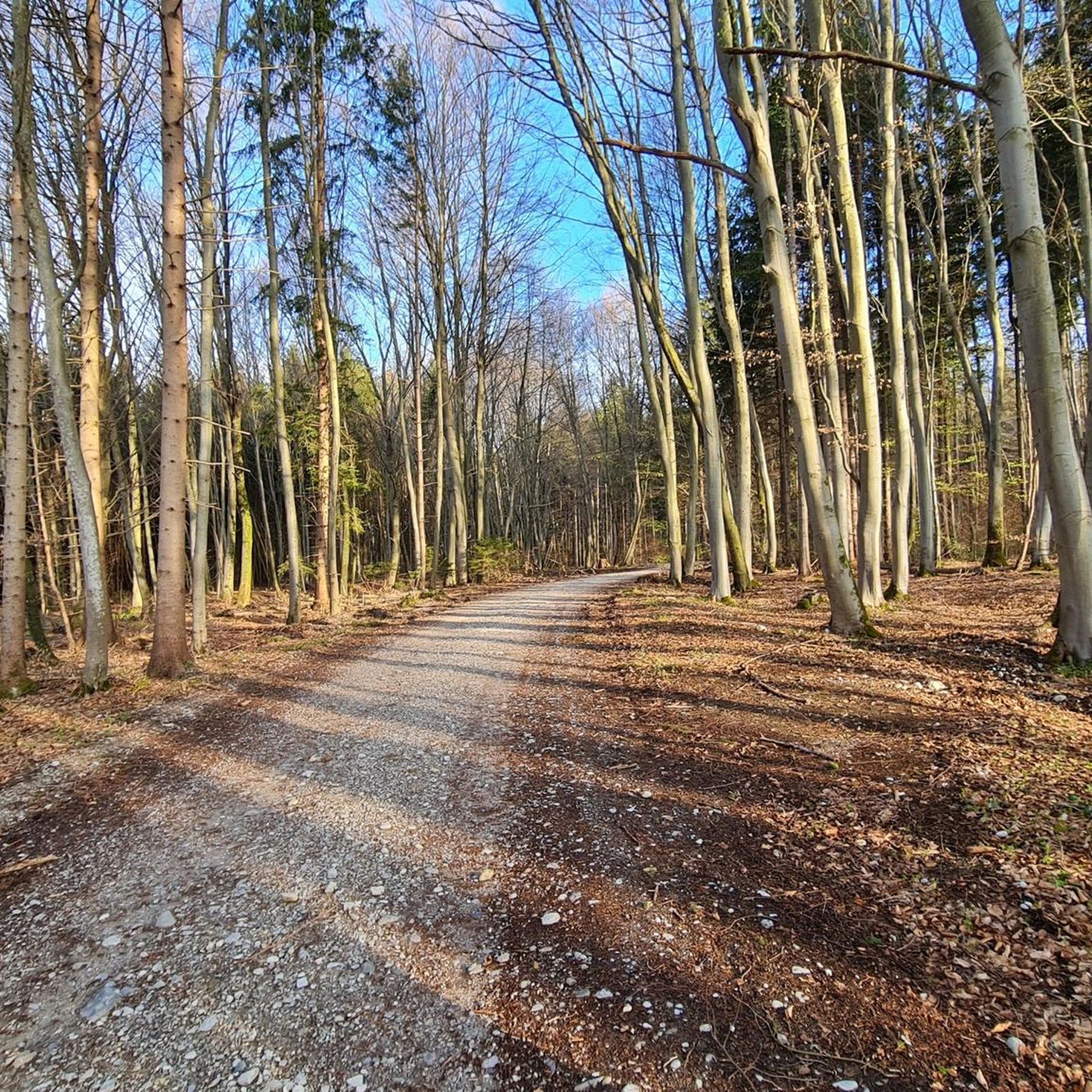
Gravel biking in Königswieser Forst features a diverse network of paths through a thickly wooded environment, recognized as both a nature reserve and a bird sanctuary. The region offers varied terrain, from mostly paved surfaces to demanding gravel segments, suitable for different fitness and skill levels. Key features include extensive oak-beech forests, natural stream courses, and the Rather Weiher pond. Elevations are generally gentle, with Mount Troodelöh marking the highest point at 118 meters.
Best gravel bike trails in Königswieser…
Last updated: July 3, 2026
4.7
(6)
25
riders
32.4km
01:42
190m
190m
Hard gravel ride. Good fitness required. You may need to push your bike for some segments of this route.
3.8
(6)
56
riders
54.5km
02:55
340m
340m
Moderate gravel ride. Good fitness required. Mostly paved surfaces. Suitable for all skill levels.

Sign up for free
4.0
(1)
8
riders
47.6km
02:39
350m
350m
Hard gravel ride. Good fitness required. You may need to push your bike for some segments of this route.
7
riders
32.6km
01:49
200m
200m
Moderate gravel ride. Good fitness required. Mostly paved surfaces. Suitable for all skill levels.
15
riders
24.7km
01:25
210m
210m
Moderate gravel ride. Good fitness required. Mostly paved surfaces. Suitable for all skill levels.
Get access to more routes and recommendations from other explorers.
Sign up for free
Already have an account?
Our route recommendations are based on thousands of hikes, rides, and runs completed by other people on komoot.
Start today with a free account
Your next adventure awaits.
Login or Signup
Tips from the Community

Along the Isar there are enough paths to stretch your legs. It is pleasant here.
7
0

A lovely path past the fields after leaving the Forstenrieder Park.
1
0

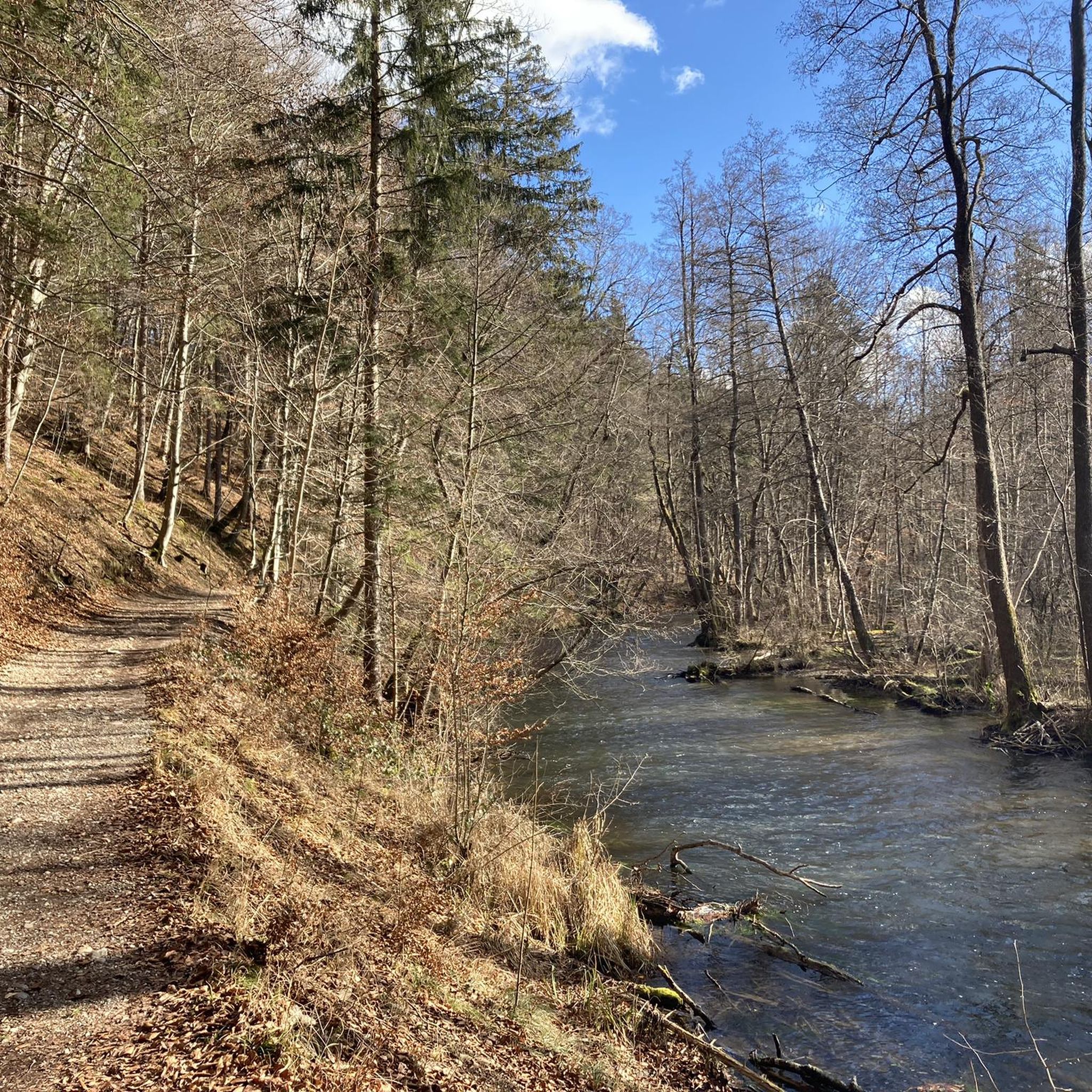
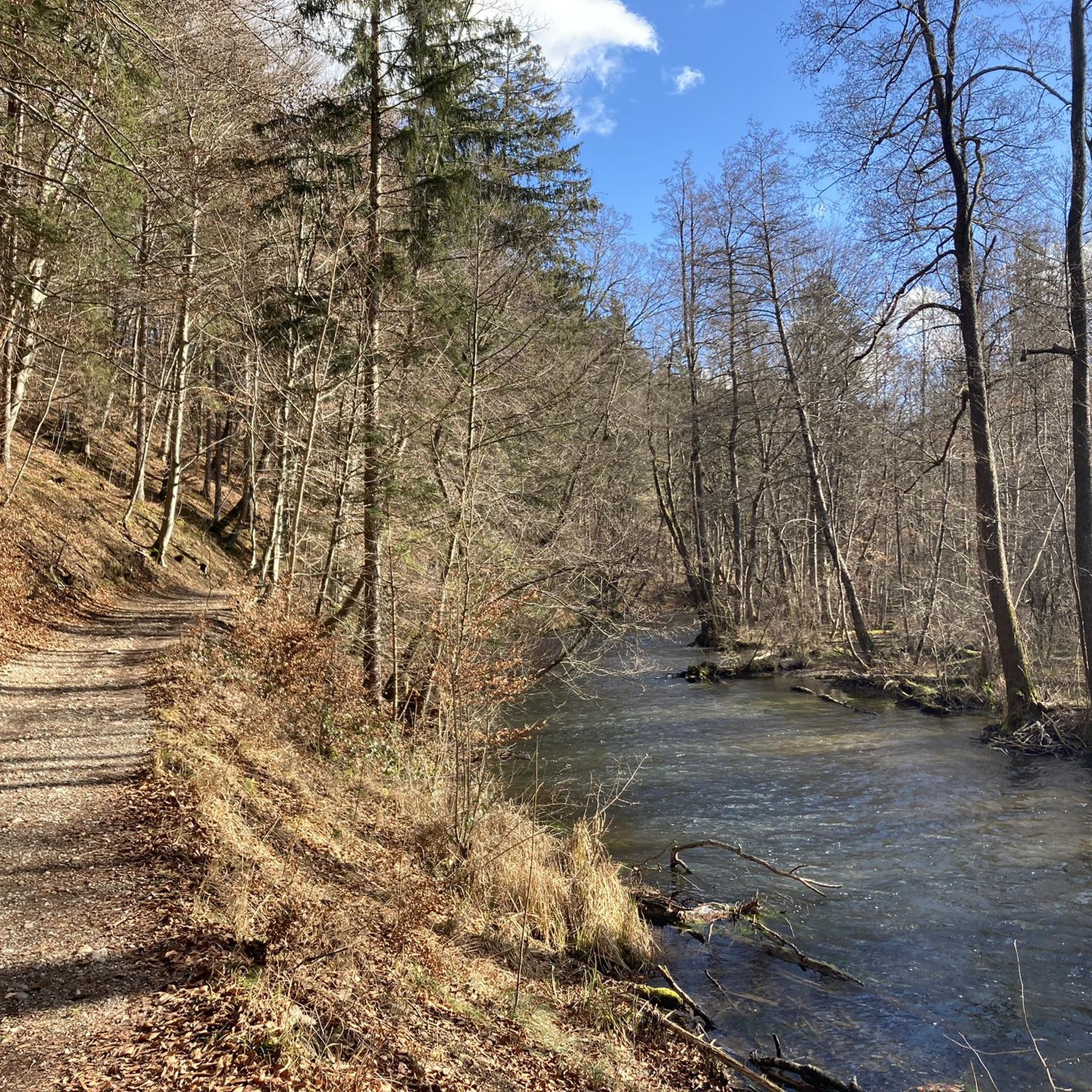
Beautiful path along the Wüm river
0
0

Always a beautiful sight. It's even more beautiful a little further upstream.
0
0

Magnificent views of Andechs against the backdrop of the Alps, with the moraine landscape of the Five Lakes Region in the distance. Always worth a short or even longer pause.
0
1

As Andechs Monastery is called. It's busy on weekends, but quieter during the week. The church is definitely worth a visit. There are also tours of the brewery.
0
2

An airport with sometimes a lot of noise from tiny planes
0
0

The few who want to "tile" and "board" over this wooden track should perhaps look for another route - out of consideration for others...😉
4
0
Frequently Asked Questions
How many gravel bike trails are available in Königswieser Forst?
Königswieser Forst offers an extensive network of over 160 gravel bike trails. These routes cater to various skill levels, from easy rides to more challenging segments, ensuring a diverse experience for every rider.
What kind of terrain can I expect on the gravel bike trails in Königswieser Forst?
The terrain in Königswieser Forst is quite varied. You'll find a mix of thickly wooded paths, gravel surfaces, and some paved sections. Routes can range from gentle gradients to demanding segments with challenging climbs, including areas described as 'super gravel terrain'.
Are there trails suitable for beginners or families with children?
Yes, Königswieser Forst has numerous options for less experienced riders and families. There are nearly 30 easy trails, such as the Würmtal Riverbank – Würmtal Cycle Path loop from Gauting, which offers gentle gradients through pleasant wooded areas, perfect for a relaxed outing.
What do other gravel bikers enjoy most about riding in Königswieser Forst?
The komoot community highly rates the gravel biking experience in Königswieser Forst, with an average score of 4.5 stars from over 400 reviews. Riders frequently praise the diverse network of paths, the serene natural setting of the thickly wooded environment, and the variety of terrain that keeps rides interesting.
Are there any interesting landmarks or natural features to see along the trails?
Yes, several natural features enhance the riding experience. You can explore the Würmtal Riverbank and follow the scenic Würm Riverside Trail. Some routes also pass by small ponds, offering quiet spots for a break. The forest is also noted for its connection to the Wahner Heide, providing a broader area for exploration.
Are there any loop trails for gravel biking in Königswieser Forst?
Many of the gravel bike routes in Königswieser Forst are designed as loops, allowing you to start and finish at the same point. An example is the Würmtal Riverbank – Recreation area on the Würm loop from Leutstetten, which takes you through beautiful riverine landscapes.
Can I bring my dog on the gravel bike trails?
Königswieser Forst is generally dog-friendly, with many paths suitable for cycling with your canine companion. However, it's always advisable to keep dogs on a leash, especially in areas with wildlife or near other visitors, and to respect local regulations.
What is the best time of year to go gravel biking in Königswieser Forst?
Königswieser Forst is a great destination for gravel biking year-round due to its thickly wooded environment. Spring and autumn offer pleasant temperatures and beautiful scenery, while summer provides lush green views. Even in winter, the paths can be enjoyable, though conditions may vary with snow or ice.
Are there any viewpoints or scenic spots along the routes?
While specific named viewpoints are not highlighted, the thickly wooded environment and varied terrain of Königswieser Forst offer numerous scenic spots. Routes along the Würmtal Riverbank, such as the Würmtal Riverbank – Würmtal Cycle Path loop from Leutstetten, provide picturesque riverine landscapes and quiet areas perfect for enjoying nature.
Are there any facilities or places to rest along the trails?
Yes, you'll find various spots to take a break. The Rest Area at the Bend of the Würm is a designated facility. Additionally, the forest features quiet, wooded areas and small ponds that serve as pleasant resting spots.
What are the difficulty levels of the gravel bike trails?
The trails in Königswieser Forst range from easy to difficult. There are 29 easy routes, 99 moderate routes, and 40 difficult routes. This variety ensures that both casual riders and those seeking a challenge can find suitable paths, with some demanding segments requiring good fitness.
Most popular routes in Königswieser Forst
Most popular attractions in Königswieser Forst

Get inspired with the komoot mobile app


Explore more
Browse the best Gravel rides in other regions.
