The best walks and hikes in Königswieser Forst
4.5
(8599)
45,139
hikers
22
hikes
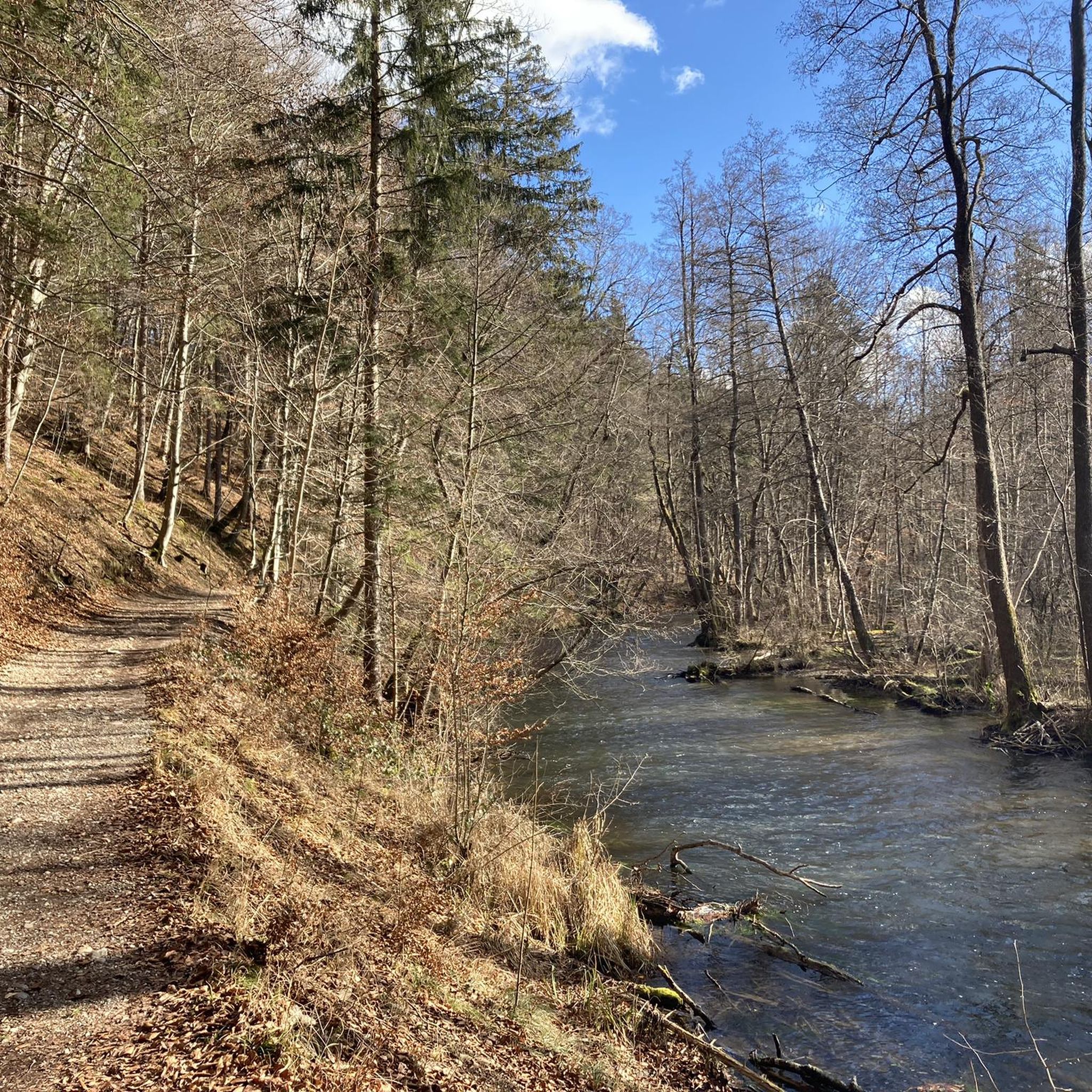
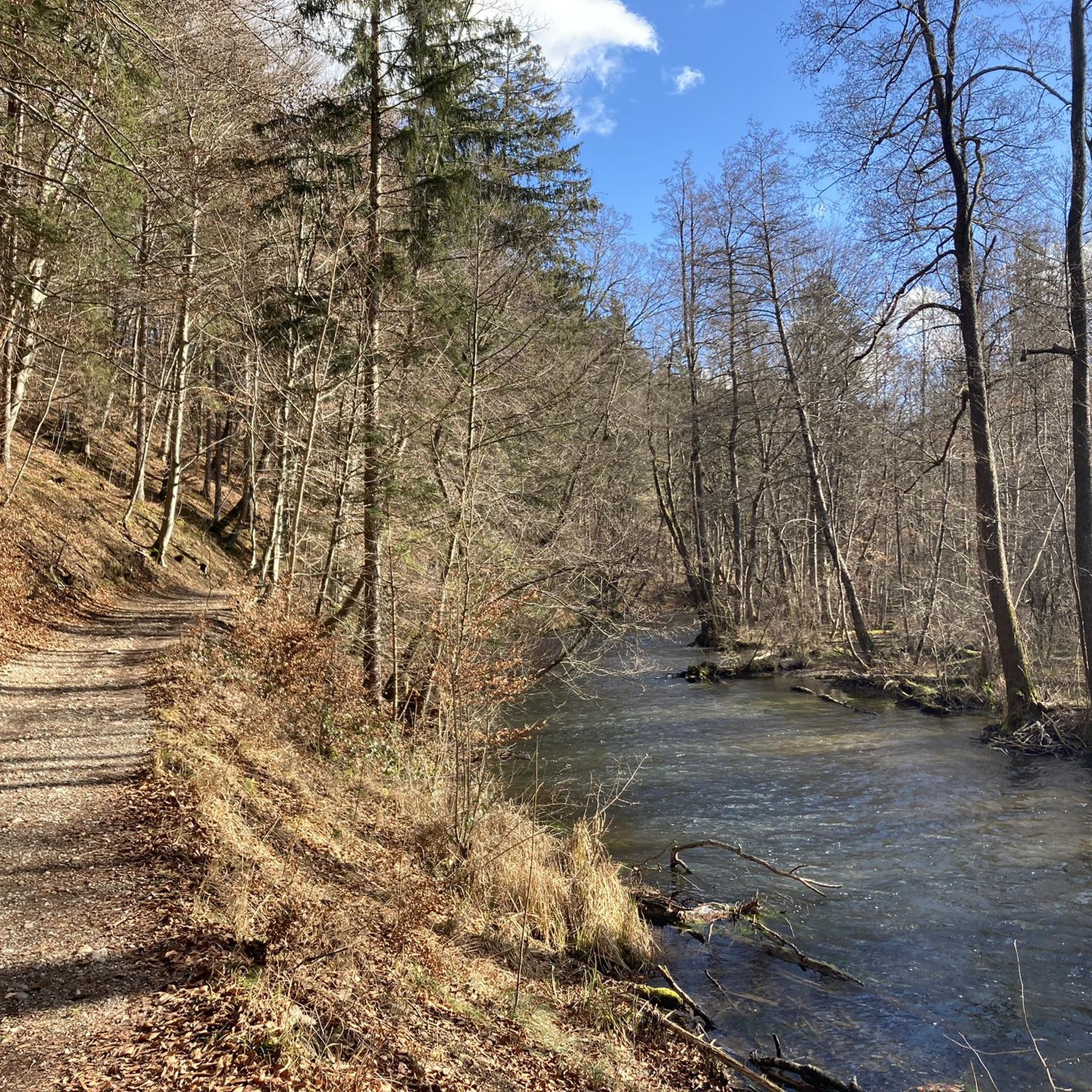
Hiking in Königswieser Forst offers a network of trails through varied landscapes in Landkreis Starnberg. The region is characterized by its forested areas, gentle stream valleys, and open meadows, providing a tranquil setting for outdoor activities. Trails often follow the Würm river and pass by historical sites and natural features. The terrain is generally mild, with routes suitable for various fitness levels.
Best hiking trails in Königswieser Forst
- The most popular hiking route is Picnic Area by the Würm –…
Last updated: June 28, 2026
4.7
(196)
692
hikers
5.94km
01:32
30m
30m
Easy hike. Great for any fitness level. Easily-accessible paths. Suitable for all skill levels.
4.8
(24)
88
hikers
Easy hike. Great for any fitness level. Easily-accessible paths. Suitable for all skill levels.

Sign up for free
4.6
(10)
74
hikers
7.07km
01:55
100m
100m
Easy hike. Great for any fitness level. Easily-accessible paths. Suitable for all skill levels.
4.2
(6)
40
hikers
11.0km
03:02
180m
180m
Moderate hike. Good fitness required. Easily-accessible paths. Suitable for all skill levels.
4.4
(5)
33
hikers
12.8km
03:27
170m
170m
Moderate hike. Good fitness required. Easily-accessible paths. Suitable for all skill levels.
Get access to more routes and recommendations from other explorers.
Sign up for free
Already have an account?
Our route recommendations are based on thousands of hikes, rides, and runs completed by other people on komoot.
Start today with a free account
Your next adventure awaits.
Login or Signup
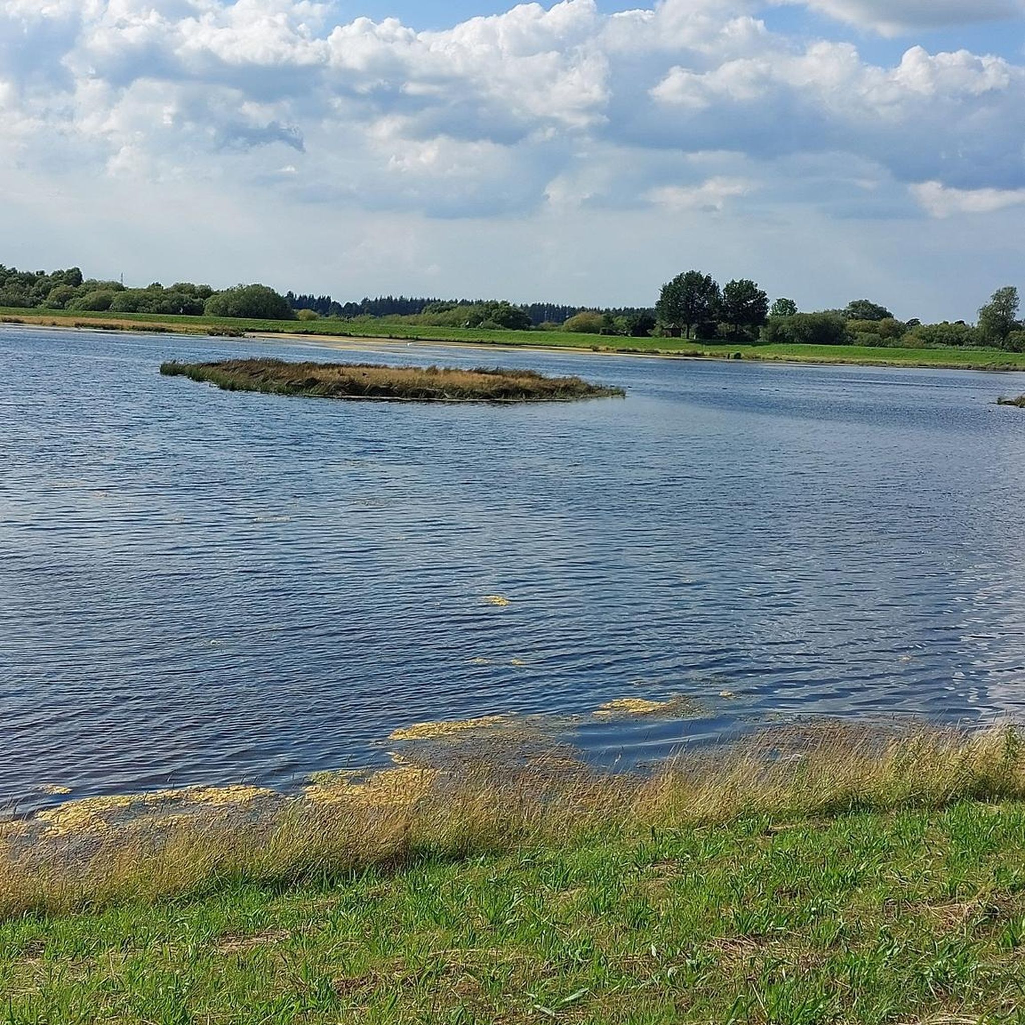
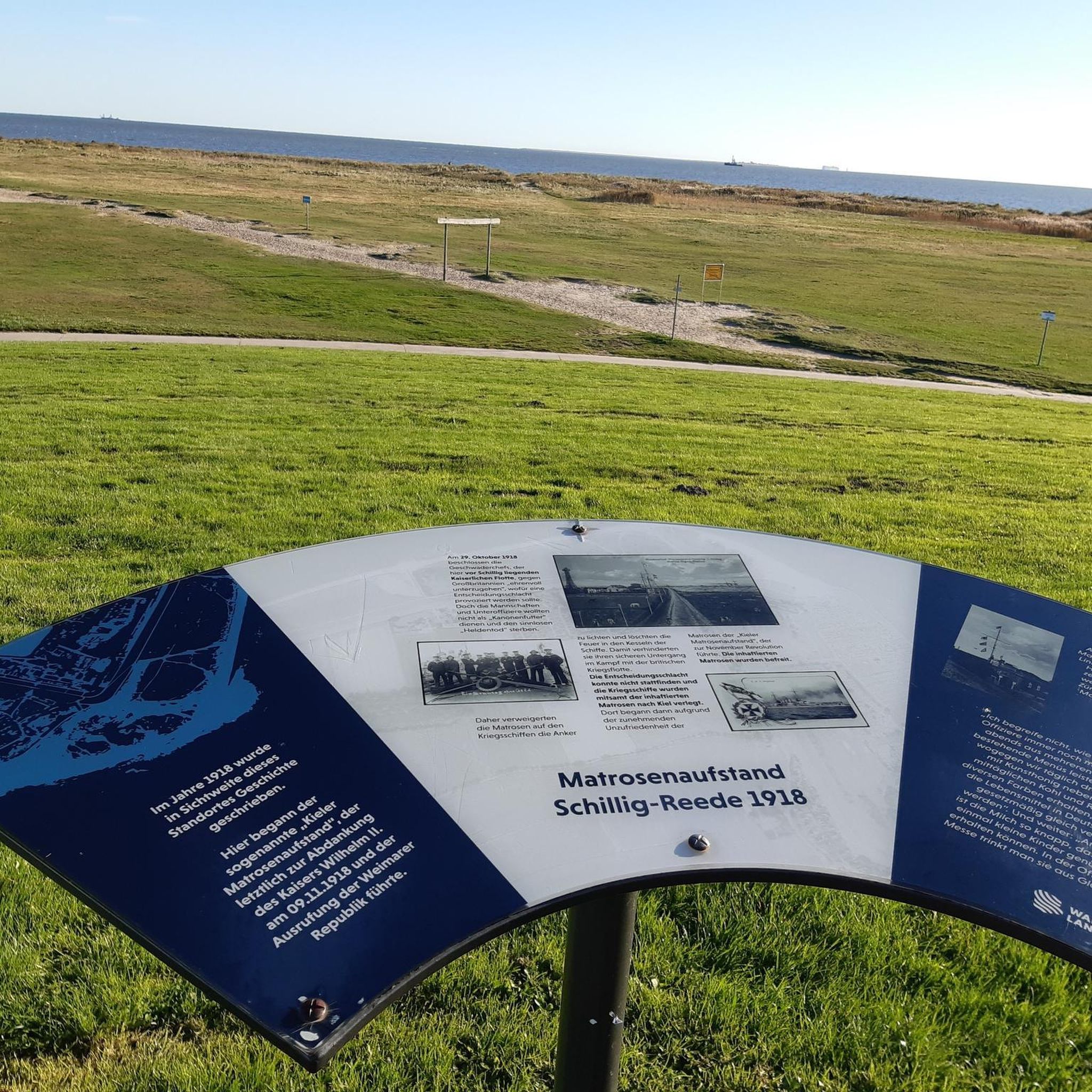
Tips from the Community

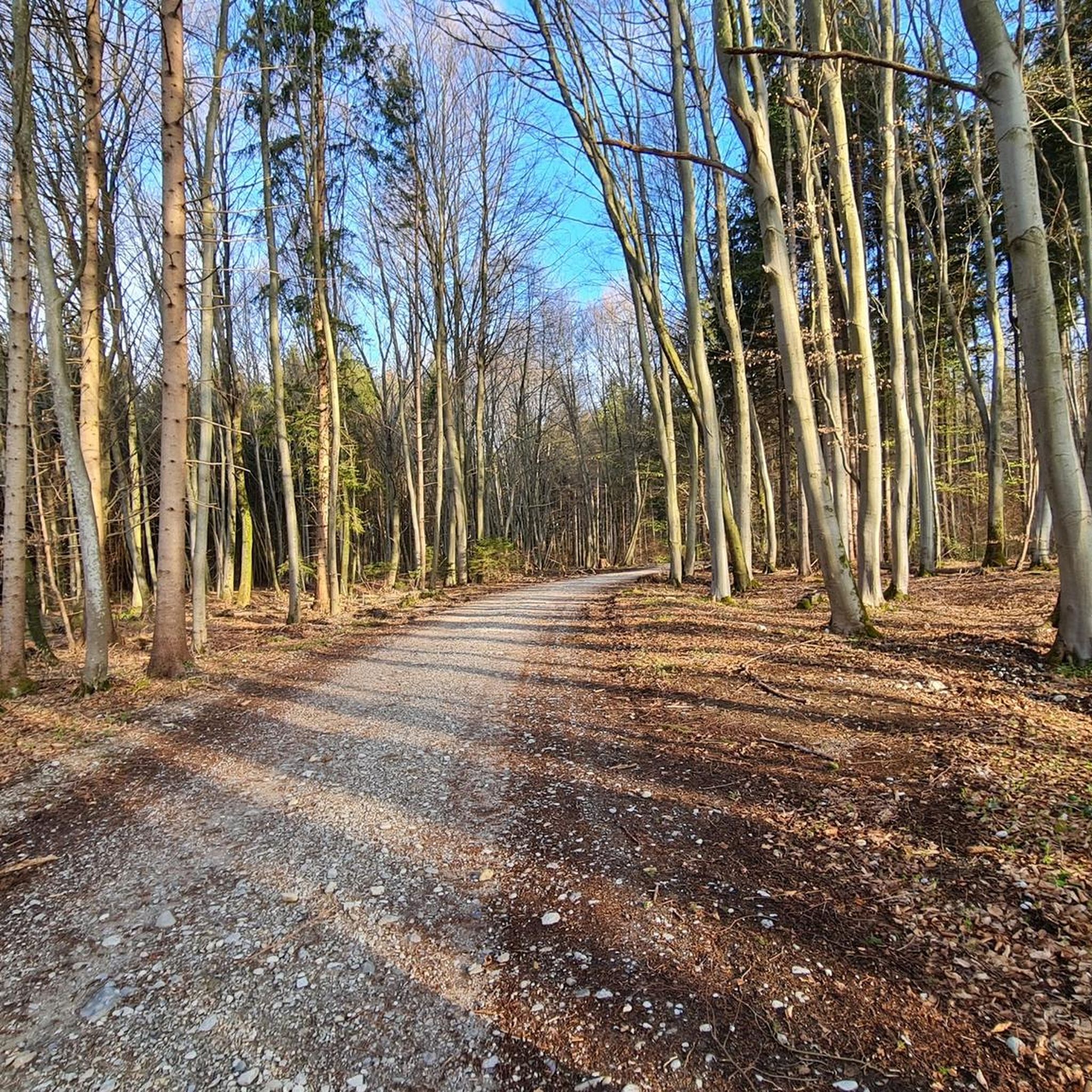
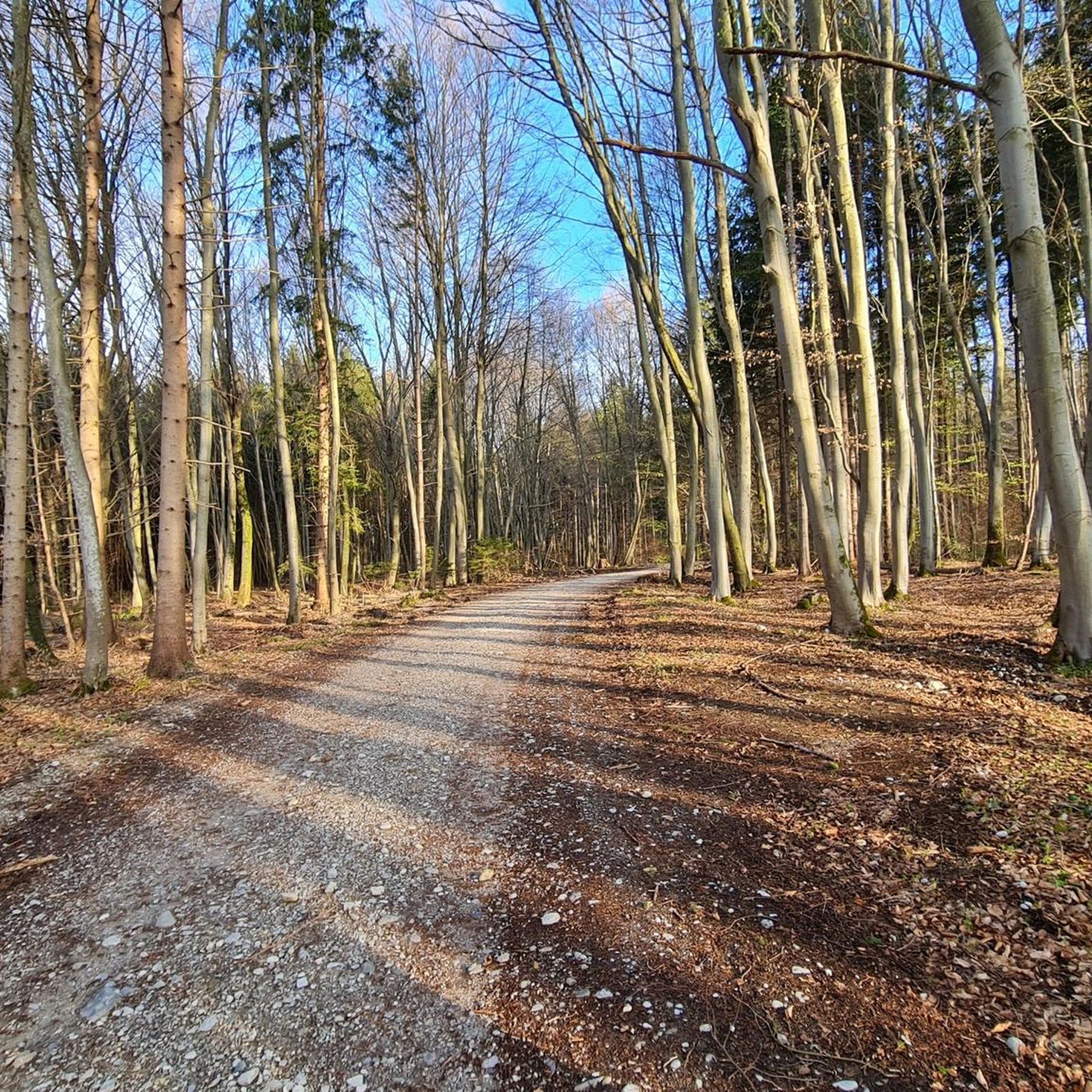
Beautiful quiet path through the forest
1
0
Beautiful path through the Leustetten moor
1
0

It must be absolutely fantastic in good weather.
0
0

One of the most beautiful self-service beer gardens in the Würmtal valley.
0
0
Christmas trees can be purchased there during the Christmas season.
0
0
The Leutstetten Moor is a nature reserve. Therefore, it is important to stay on the paths and not remove anything (branches, flowers, mushrooms, etc.). The paths can be quite muddy, so sturdy (waterproof) footwear is recommended. Hiking poles can also help to navigate difficult, muddy sections more easily.
0
0

Trail for mountain bikes
0
0

Really nice beer garden for the whole family
0
0
Frequently Asked Questions
What kind of terrain can I expect when hiking in Königswieser Forst?
Königswieser Forst is characterized by its extensive woodlands, gentle stream valleys, and open meadows. The terrain is generally mild, with routes suitable for various fitness levels. You'll find diverse soil types contributing to its ecological richness, and paths range from easy strolls to more moderate hikes with minimal elevation gain.
Are there any circular hiking routes in Königswieser Forst?
Yes, many of the trails in Königswieser Forst are circular, offering convenient starting and ending points. For example, the Picnic Area by the Würm – Scenic Forest Path loop from Leutstetten is an easy 7.1 km route, and the Würmarm Stream loop from Leutstetten provides a peaceful 5.9 km walk.
What are some notable natural features or landmarks to look out for?
Königswieser Forst features several interesting natural landmarks. You can explore picturesque small lakes and ponds like Rather Weiher and Kettners Pond. A significant natural landmark is the approximately 100-year-old oak tree known as the "Kaisereiche." Additionally, parts of the forest are designated as a nature reserve, highlighting its ecological importance. You can also find the Würmtal Riverbank and the Würm Riverside Trail.
Are there any family-friendly hiking options in Königswieser Forst?
Absolutely. Königswieser Forst offers many easy trails perfect for families. The generally mild terrain and well-maintained paths make it suitable for all ages. Routes like the Leutstetten Castle Inn – Ludwig III Fountain loop from Leutstetten, at 4.9 km, are ideal for a pleasant family outing.
Can I bring my dog on the hiking trails in Königswieser Forst?
Yes, Königswieser Forst is generally dog-friendly, offering ample space for walks with your canine companion. Many trails wind through dense woodlands and open areas, providing a great environment for dogs. Please ensure your dog is kept under control, especially in nature reserve areas, and always clean up after your pet.
What do other hikers enjoy most about Königswieser Forst?
The area is highly rated by the komoot community, with an average score of 4.5 stars from over 260 reviews. Hikers often praise the tranquil setting, the well-maintained paths, and the diverse landscapes that offer a peaceful escape into nature. The gentle stream valleys and dense woodlands are frequently highlighted as favorite aspects.
How many hiking trails are there in Königswieser Forst?
On komoot, you'll find over 20 hiking routes specifically within Königswieser Forst, ranging from easy to moderate difficulty. The broader region, including its connection to the Wahner Heide, offers hundreds of kilometers of paths, ensuring a wide variety of options for exploration.
Are there any shelters or rest areas along the trails?
Yes, throughout Königswieser Forst, visitors can find simple but charming huts and covered seating areas. These provide ideal spots for a break, a picnic, or shelter from the elements, especially useful during longer tours.
What is the highest point in Königswieser Forst?
Hikers can ascend to Monte Troodelöh, which, at 118.04 meters, marks Cologne's highest point. The paths leading to this summit are well-signposted and considered moderately challenging, offering a rewarding experience.
Is there parking available near the hiking trails?
Yes, Königswieser Forst is easily accessible, and there are various parking options available at different entry points to the forest. Specific parking areas are often signposted near popular trailheads, making it convenient to start your hike.
What is the best time of year to hike in Königswieser Forst?
Königswieser Forst is enjoyable year-round. Spring brings lush greenery and blooming flora, while autumn offers vibrant fall colors. Summer provides pleasant shade under the dense tree canopy, and even winter hiking can be beautiful, especially after a fresh snowfall. The diverse trail network ensures there's always something to explore regardless of the season.
Are there any longer, more challenging hikes available?
While many trails are easy, Königswieser Forst also offers moderate options for those seeking a longer challenge. For instance, the Leutstetten Castle Inn – Leutstettener Moos loop from Leutstetten is an 11.2 km trail that takes about 3 hours to complete, leading through forested areas and open moorland.
Most popular routes in Königswieser Forst
Most popular attractions in Königswieser Forst

Get inspired with the komoot mobile app


Explore more
Browse the best Hikes in other regions.
