The best gravel rides in Haspelwald
4.6
(17)
101
riders
21
rides
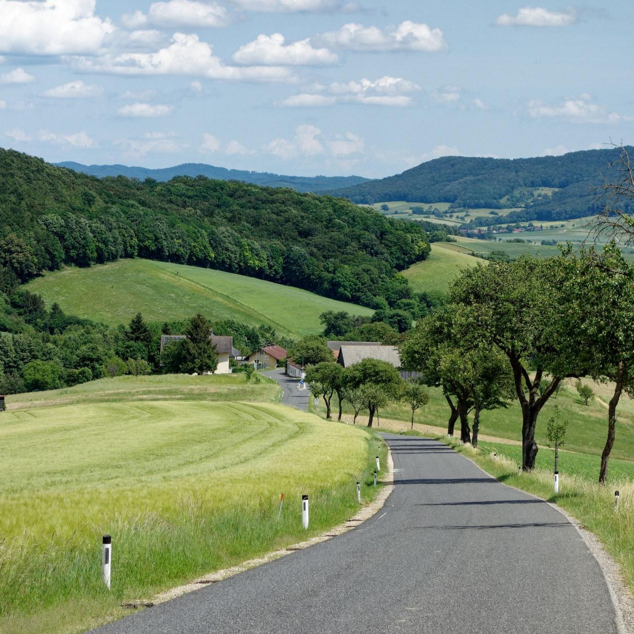
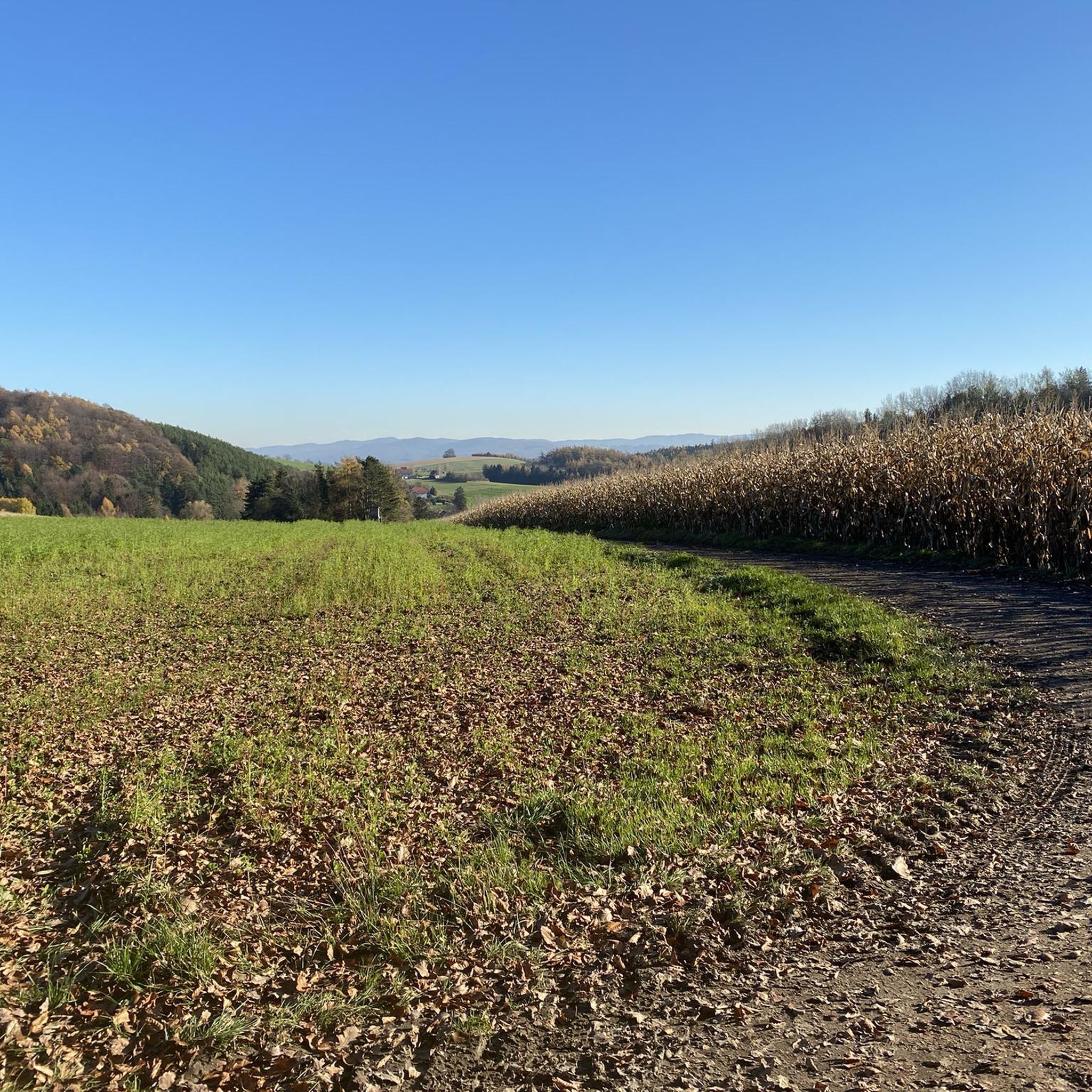
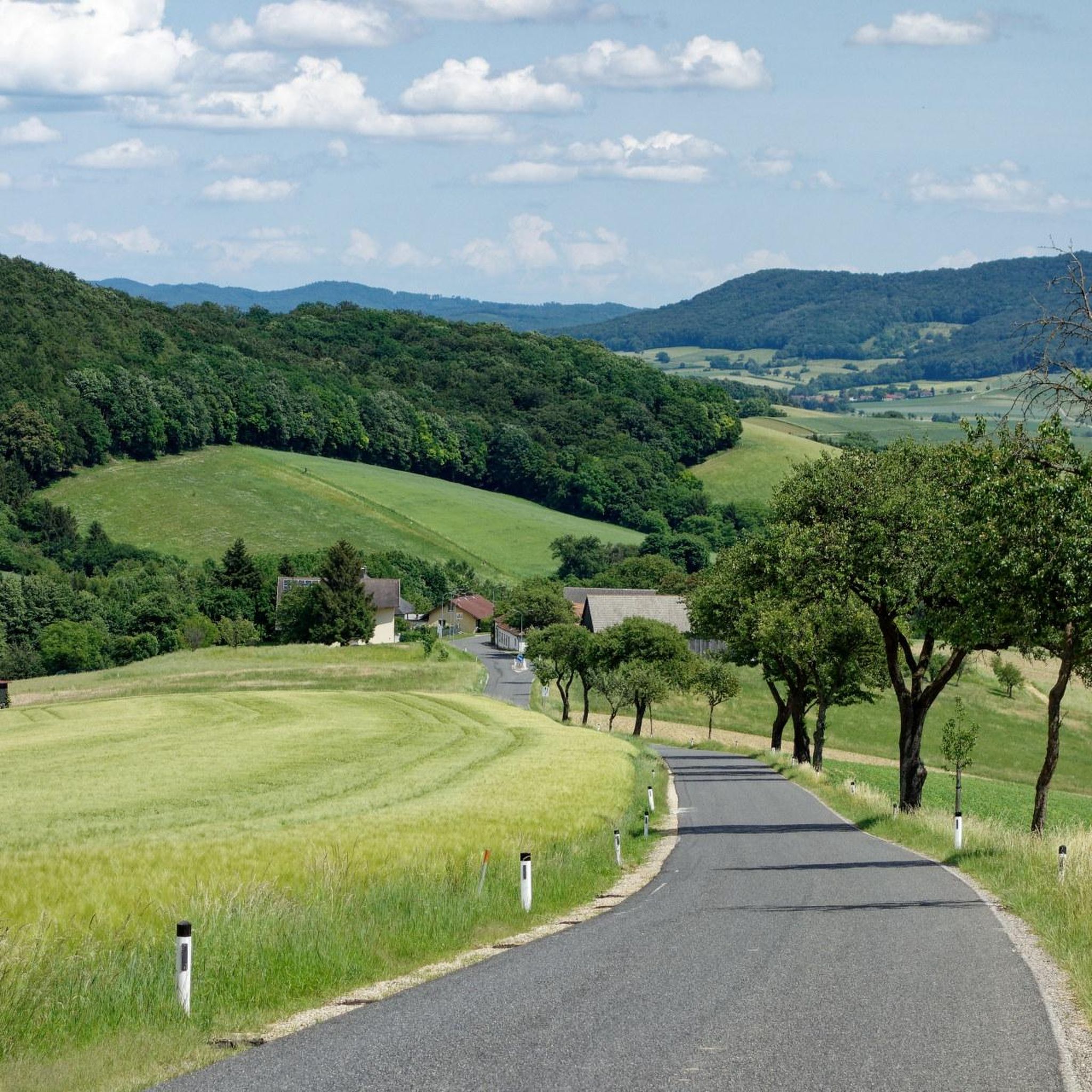
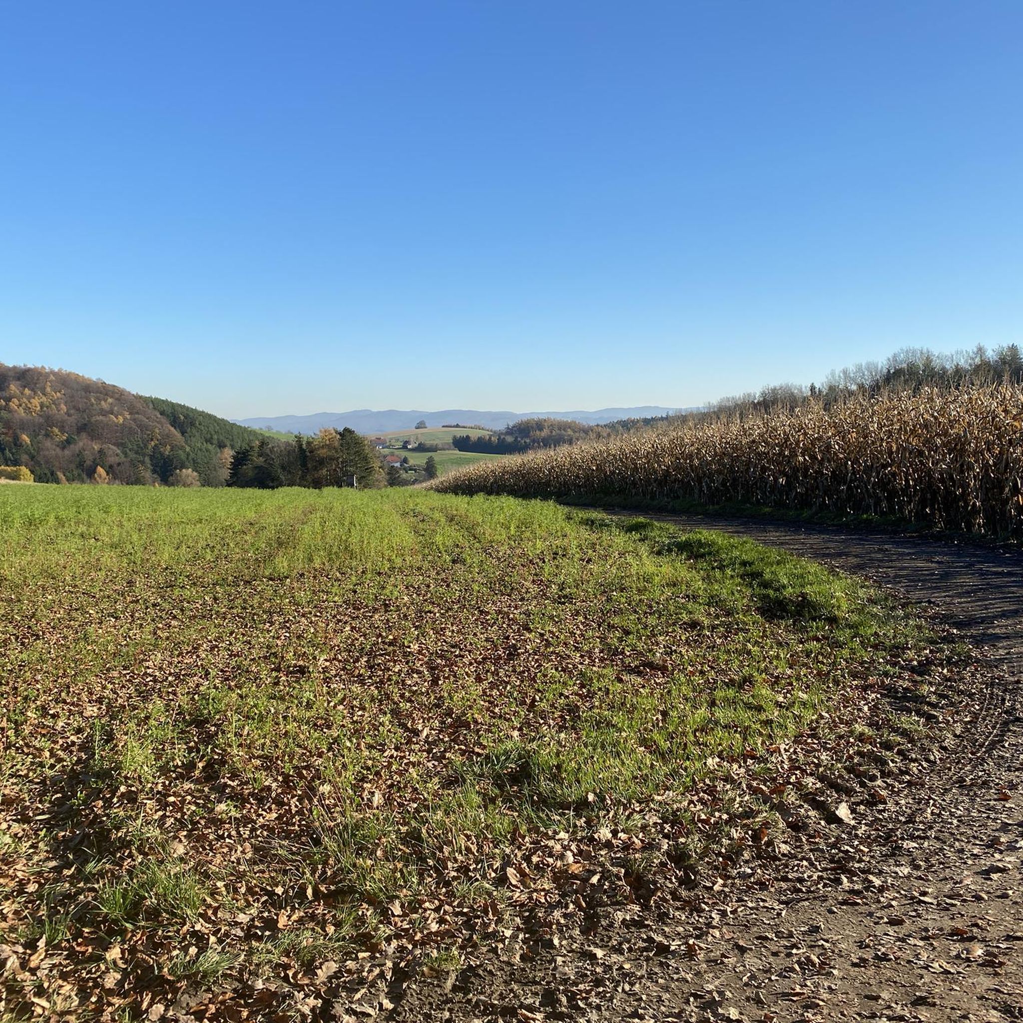
Gravel biking in Haspelwald offers a network of routes through varied terrain. The region is characterized by rolling hills, agricultural paths, and sections of woodland, providing diverse surfaces for gravel cyclists. Elevations are generally moderate, with routes traversing open countryside and forested areas. The Frauenberg, at 378 meters, stands as the highest point, contributing to undulating terrain for gravel biking.
Best gravel bike trails in Haspelwald
- The most popular gravel bike trail is The Spring at the Rest Area –…
Last updated: July 3, 2026
4
riders
64.0km
04:07
870m
880m
Hard gravel ride. Very good fitness required. You may need to push your bike for some segments of this route.
1
riders
14.6km
00:56
170m
170m
Moderate gravel ride. Good fitness required. Mostly paved surfaces. Suitable for all skill levels.

Sign up for free
4.3
(4)
9
riders
26.2km
01:29
180m
180m
Moderate gravel ride. Good fitness required. Mostly paved surfaces. Suitable for all skill levels.
5
riders
39.3km
02:22
440m
440m
Moderate gravel ride. Good fitness required. Mostly paved surfaces. Suitable for all skill levels.
5.0
(1)
3
riders
Moderate gravel ride. Good fitness required. Mostly paved surfaces. Suitable for all skill levels.
Get access to more routes and recommendations from other explorers.
Sign up for free
Already have an account?
Our route recommendations are based on thousands of hikes, rides, and runs completed by other people on komoot.
Start today with a free account
Your next adventure awaits.
Login or Signup
Tips from the Community

While cyclists and hikers usually only pass by here briefly, the facility is worth a look, as it makes an important contribution to the continuity of the watercourse. Due to its natural location on the stream, it is also a good place to observe how technical solutions and water protection are combined here.
7
0

When approaching from Buchberg, you can see Neulengbach Castle early on. You can already see it from the Buchberg viewing platform.
0
0

Wilhelm-Kisser-Jubiläumswarte The 15-meter-high wooden tower rewarded with a wonderful panoramic view over the Tullnerfeld and the Wienerwald. The ascent and the short walk to the tower were definitely worth it. I especially enjoyed the beautiful, well-maintained hiking trail that leads to the tower and invites you for a leisurely stroll.
0
0

A very beautiful viewpoint towards Böheimkirchen and far beyond, on beautiful days you can see the Ötscher.
2
0
From up there you have a beautiful view over the whole area, especially the Wienerwald. On beautiful days, you can see all the way to the Alps.
2
0

Take a short break, funny to watch.
0
0

For a few years now, there has been this practical underpass, so you no longer have to cross the road 👌
0
0

It looks really nice here
0
0
Frequently Asked Questions
What kind of terrain can I expect on gravel bike trails in Haspelwald?
Haspelwald's gravel bike trails feature a varied landscape of rolling hills, agricultural paths, and sections of woodland. You'll encounter diverse surfaces, from compacted gravel to dirt tracks, with generally moderate elevations throughout the region.
Are there gravel bike routes suitable for beginners in Haspelwald?
Yes, Haspelwald offers several routes suitable for beginners. There are 3 easy-rated tours available, providing a gentle introduction to gravel biking in the region. These routes typically feature less challenging terrain and elevation changes.
What are the options for experienced gravel bikers looking for a challenge?
For experienced gravel bikers seeking a challenge, Haspelwald has 19 difficult-rated routes. These trails often include more significant elevation changes and technical sections. Consider the Hegerberg Eastern Ascent – Hegerberg Southwest Ascent loop from Böheimkirchen, which features notable elevation changes over its 18.7 miles (30.0 km).
Are there any circular gravel bike routes in Haspelwald?
Many of Haspelwald's gravel bike routes are designed as loops, allowing you to start and finish in the same location. For example, the popular The Spring at the Rest Area – Parish Church of Böheimkirchen loop from Böheimkirchen is a 16.3-mile (26.2 km) circular route through varied rural landscapes.
What are some notable sights or viewpoints along the gravel routes in Haspelwald?
While riding in Haspelwald, you can discover several interesting points. Keep an eye out for the Panoramic Road Between Murstetten and Raipoltenbach or enjoy the View of the Vienna Woods. You might also encounter the Giant Spruce in Brünndlgraben.
How long do gravel bike routes in Haspelwald typically take to complete?
Route durations vary significantly based on length and difficulty. For instance, a moderate 16.3-mile (26.2 km) route like The Spring at the Rest Area – Parish Church of Böheimkirchen loop from Böheimkirchen takes about 1 hour 28 minutes. Longer routes, such as the 34.4-mile (55.3 km) Nibelungen Monument – Judenau Water Castle loop from Neulengbach Stadt, can take around 3 hours 41 minutes.
What do other gravel bikers enjoy most about Haspelwald?
The Haspelwald region is highly rated by the komoot community, with an average score of 4.6 stars. Reviewers often praise the diverse terrain, from rolling hills to woodlands, and the variety of routes available for different skill levels.
Are there any family-friendly gravel bike trails in Haspelwald?
While specific 'family-friendly' designations aren't always explicit, the 3 easy-rated routes in Haspelwald would be the most suitable starting point for families. These trails generally have gentler gradients and less technical surfaces, making them more accessible for riders of varying ages and abilities.
What is the best time of year to go gravel biking in Haspelwald?
The best time for gravel biking in Haspelwald is typically during the spring, summer, and autumn months when the weather is milder and trails are dry. The varied terrain, including agricultural paths and woodlands, is most enjoyable under these conditions.
What are the winter conditions like for gravel biking in Haspelwald?
Winter conditions in Haspelwald can vary. While some routes may remain rideable, expect colder temperatures, potentially muddy sections, or even snow and ice, especially in forested areas or on higher ground. It's advisable to check local weather conditions and trail reports before heading out in winter.
Are there any historical or cultural landmarks to see while gravel biking?
Yes, Haspelwald offers a few points of interest with historical or cultural significance. You could visit the Maria im Walde Shrine, a religious building, or explore the general area of Haspelwald itself, which is a notable forest.
How many gravel bike routes are available in Haspelwald?
There are 49 gravel bike routes available in Haspelwald, catering to various skill levels. This includes 3 easy, 27 moderate, and 19 difficult routes, ensuring a diverse range of options for all riders.
Most popular routes in Haspelwald
Most popular attractions in Haspelwald

Get inspired with the komoot mobile app


Explore more
Browse the best Gravel rides in other regions.
