The best road cycling routes in Haspelwald
4.6
(327)
4,402
riders
266
rides
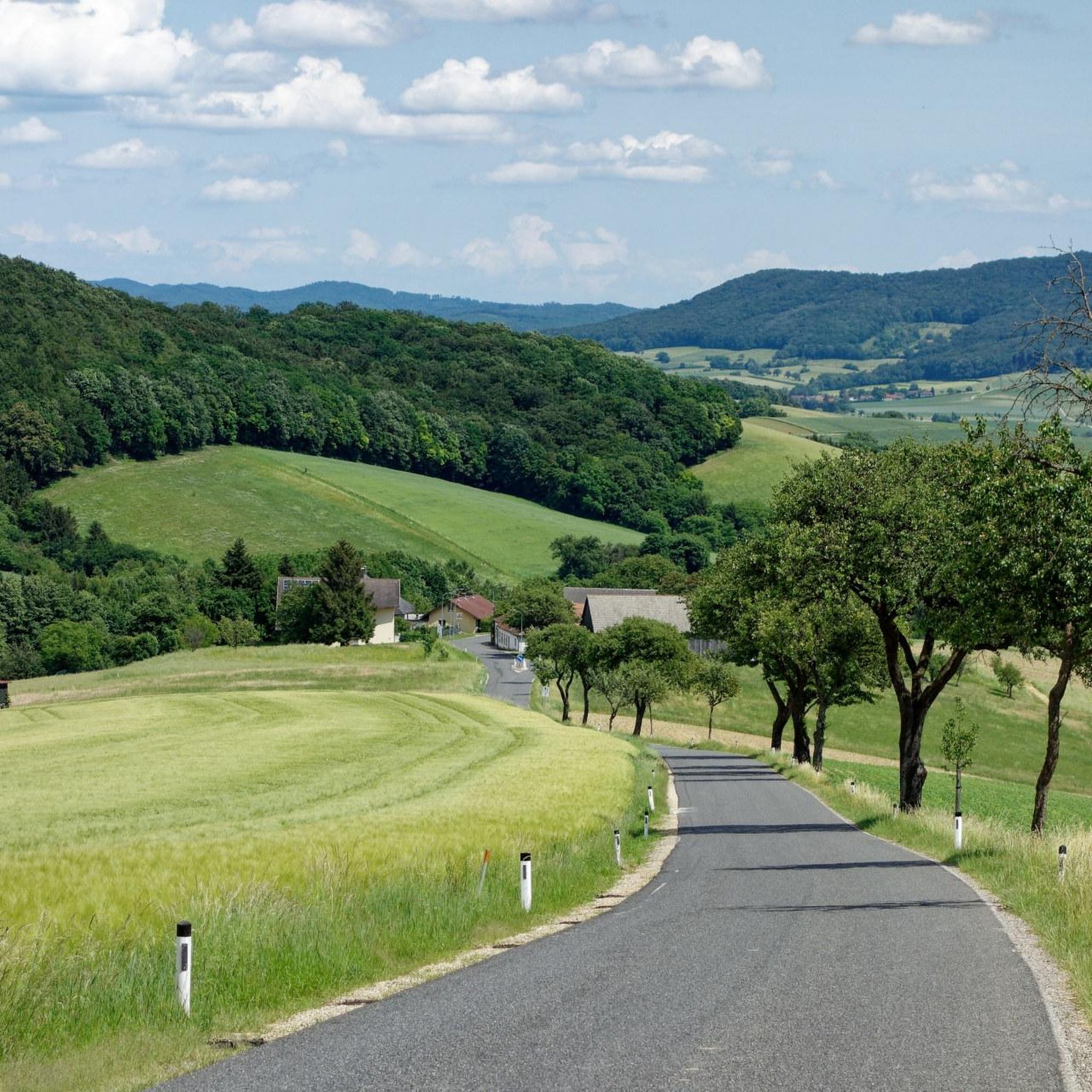
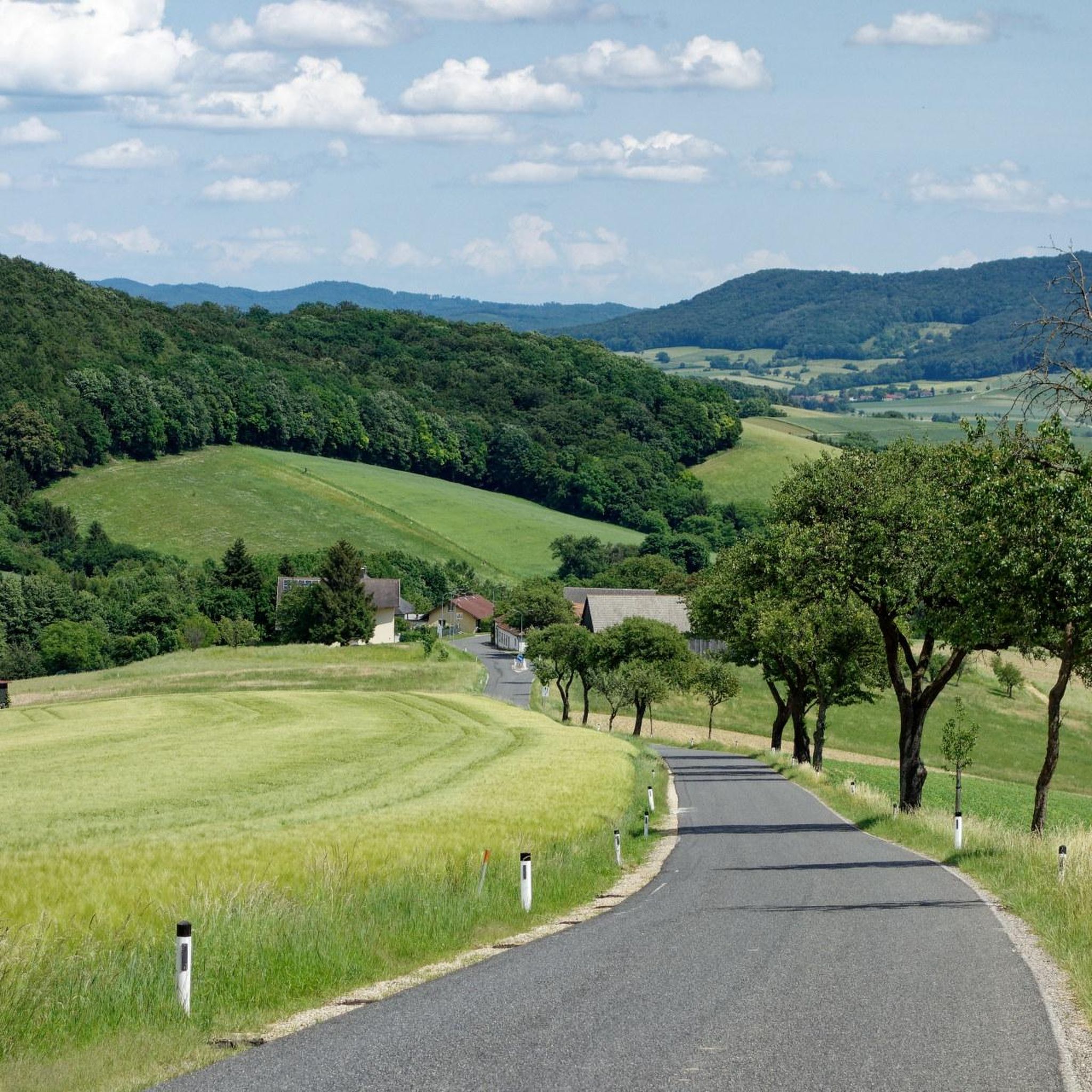
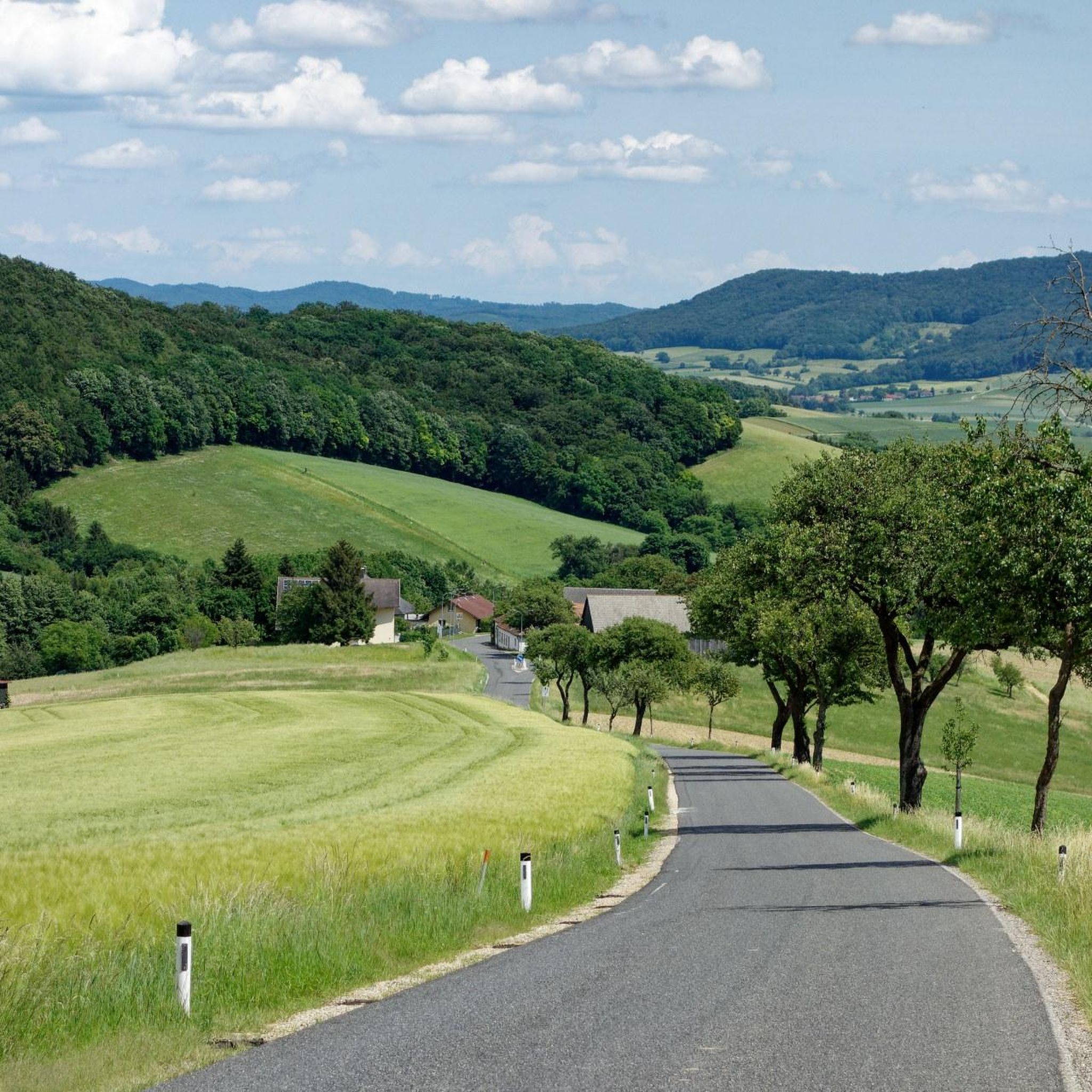
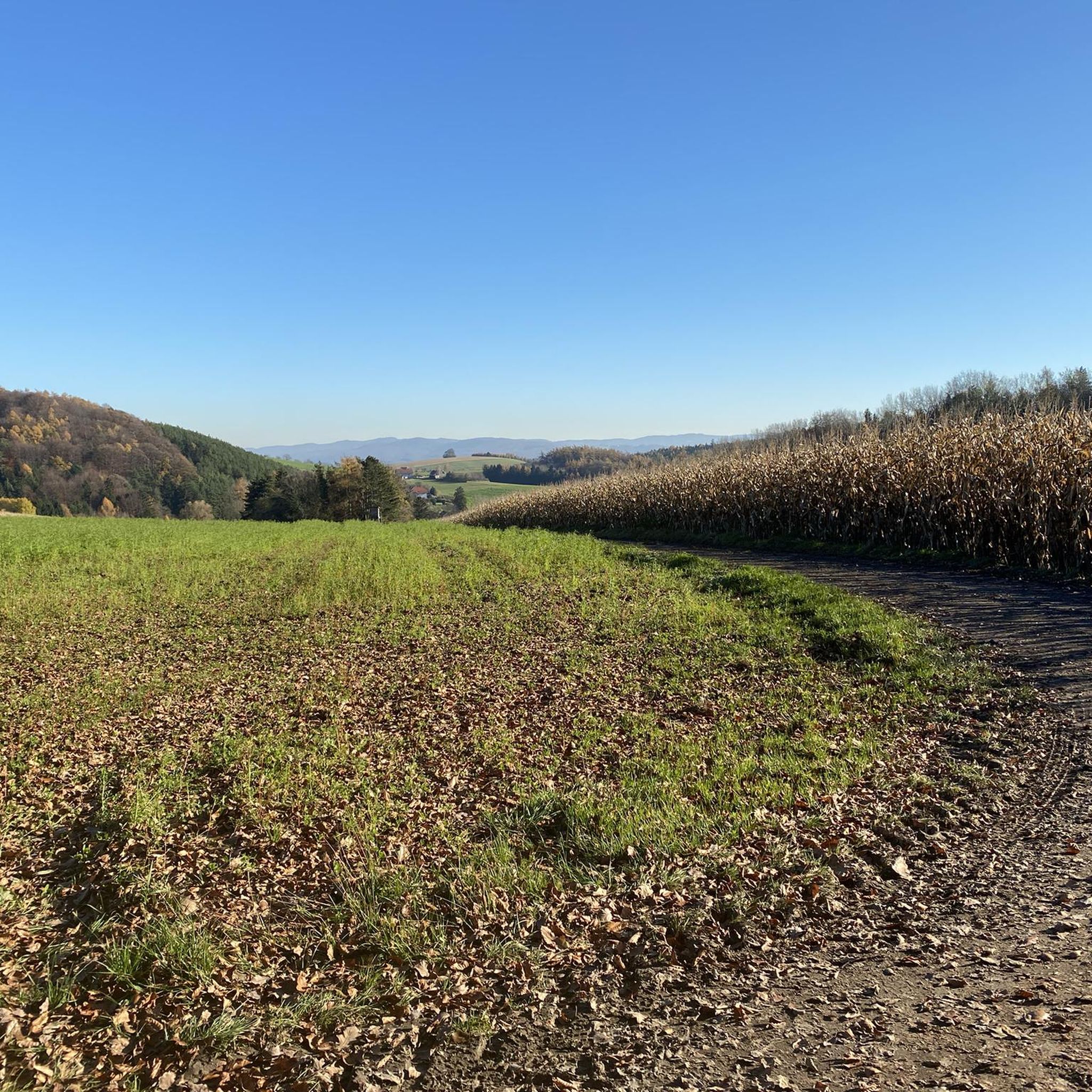
Road cycling routes in Haspelwald traverse a forested area in Lower Austria, situated across the districts of St. Pölten and Tulln. The region is characterized by dense woodlands, offering shaded routes and a natural environment for riding. While the highest point, Frauenberg, is a modest 378 meters, the terrain features gentle inclines and descents suitable for varied cycling experiences. Interconnected paved roads link the surrounding municipalities, providing a network for road cyclists.
Best road cycling routes in Haspelwald
- The most…
Last updated: September 29, 2026
4.0
(1)
34
riders
52.5km
02:03
190m
190m
Moderate road ride. Good fitness required. Mostly well-paved surfaces and easy to ride.
19
riders
26.0km
01:09
210m
210m
Moderate road ride. Great for any fitness level. Some segments of this route may be unpaved and difficult to ride.

5.0
(1)
25
riders
58.1km
02:21
250m
250m
Moderate road ride. Good fitness required. Some segments of this route may be unpaved and difficult to ride.
4.5
(12)
88
riders
45.4km
01:58
350m
350m
Moderate road ride. Good fitness required. Mostly well-paved surfaces and easy to ride.
33
riders
38.9km
01:38
240m
240m
Easy road ride. Great for any fitness level. Mostly well-paved surfaces and easy to ride.
Get access to more routes and recommendations from other explorers.
Already have an account?
Our route recommendations are based on thousands of hikes, rides, and runs completed by other people on komoot.
Start today with a free account
Your next adventure awaits.

Tips from the Community


Take a short break, funny to watch.
0
0

Quiet road between the fields as an alternative to the main road, especially fun with a gravel bike or MTB 👍
0
0

along the Danube and in the floodplains along the Danube you can observe many swans and ducks
0
0
Here you can switch to the other side of the Danube and continue on the other side
0
0
a beautiful view over the Danube
1
0

It looks really nice here
0
0
If you want peace and quiet, then here.
0
0
Frequently Asked Questions
How many road cycling routes are available in Haspelwald?
Haspelwald offers a wide selection of road cycling routes, with over 280 tours available. These routes cater to various skill levels, including easy, moderate, and difficult options.
What kind of terrain can I expect when road cycling in Haspelwald?
The Haspelwald region is characterized by its forested landscape, providing many shaded routes. You can expect a mix of gentle inclines and descents, with the highest point, Frauenberg, reaching a modest 378 meters. The interconnected paved roads linking surrounding municipalities offer a diverse cycling experience without overly strenuous climbs.
Are there road cycling routes suitable for beginners in Haspelwald?
Yes, Haspelwald has 65 easy road cycling routes perfect for beginners or those looking for a relaxed ride. These routes typically feature manageable gradients and well-maintained paved surfaces.
What are some challenging road cycling routes in Haspelwald?
For more experienced cyclists, Haspelwald offers 30 difficult routes. These often include more significant elevation changes and longer distances, providing a good test of endurance. One such route is the Aschberg Climb – Seppbrunnen Watermill Model loop from Böheimkirchen, which features over 350 meters of elevation gain.
Are there any circular road cycling routes in Haspelwald?
Many of the road cycling routes in Haspelwald are designed as loops, allowing you to start and finish in the same location. For example, the Große Tulln Cycle Path loop from Würmla is a popular moderate circular route covering 26.1 km.
What are some points of interest or landmarks I can see along the road cycling routes?
While cycling in Haspelwald, you can encounter several interesting points. Consider routes that pass by the Panoramic Road Between Murstetten and Raipoltenbach for scenic views, or the Maria im Walde Shrine for a cultural stop. The Giant Spruce in Brünndlgraben is another notable natural monument you might discover.
Where can I find parking for road cycling in Haspelwald?
Given that Haspelwald connects several municipalities like Böheimkirchen, Neulengbach, and Würmla, you can typically find parking options within or near these towns, which serve as common starting points for many routes. It's advisable to check specific route descriptions for recommended parking areas.
What is the best time of year to go road cycling in Haspelwald?
The forested nature of Haspelwald makes it particularly appealing during warmer months, as the dense woods provide welcome shade. Spring and autumn also offer pleasant temperatures and beautiful scenery, with fewer crowds. Winter cycling is possible, but conditions may vary, and some roads might be less maintained.
What do other cyclists say about road cycling in Haspelwald?
The road cycling experience in Haspelwald is highly rated by the komoot community, with an average score of 4.5 stars from over 250 reviews. Cyclists often praise the serene, natural environment, the variety of routes, and the well-maintained paved roads that connect the charming local villages.
Are there family-friendly road cycling options in Haspelwald?
Yes, with 65 easy routes and many featuring gentle gradients, Haspelwald offers several options suitable for families. These routes often follow quieter roads or dedicated cycle paths, providing a safe and enjoyable experience for all ages. The Neutenstein Castle – Kellergasse Langmannersdorf loop from Böheimkirchen is an example of an easy route that could be suitable.
Can I expect shaded routes in Haspelwald?
Absolutely. Haspelwald is a significant forest area, meaning many of its road cycling routes traverse dense woodlands. This provides ample shade, which is particularly desirable for cyclists during warmer months, offering a refreshing and natural environment for your ride.
What are the typical distances and elevations for road cycling routes here?
Road cycling routes in Haspelwald vary significantly. Distances can range from shorter loops around 26 km, like the Große Tulln Cycle Path loop from Würmla, to longer rides exceeding 50 km, such as the Sitzenberg Castle Pond – Zwentendorf nuclear power plant loop from Würmla. Elevation gains are generally moderate, often between 180 to 350 meters per route, reflecting the region's gentle terrain.
Most popular routes in Haspelwald
Most popular attractions in Haspelwald

Get inspired with the komoot mobile app


Explore more
Browse the best Road cycling routes in other regions.
