The best gravel rides in Bruckbachholz
4.9
(17)
218
riders
30
rides
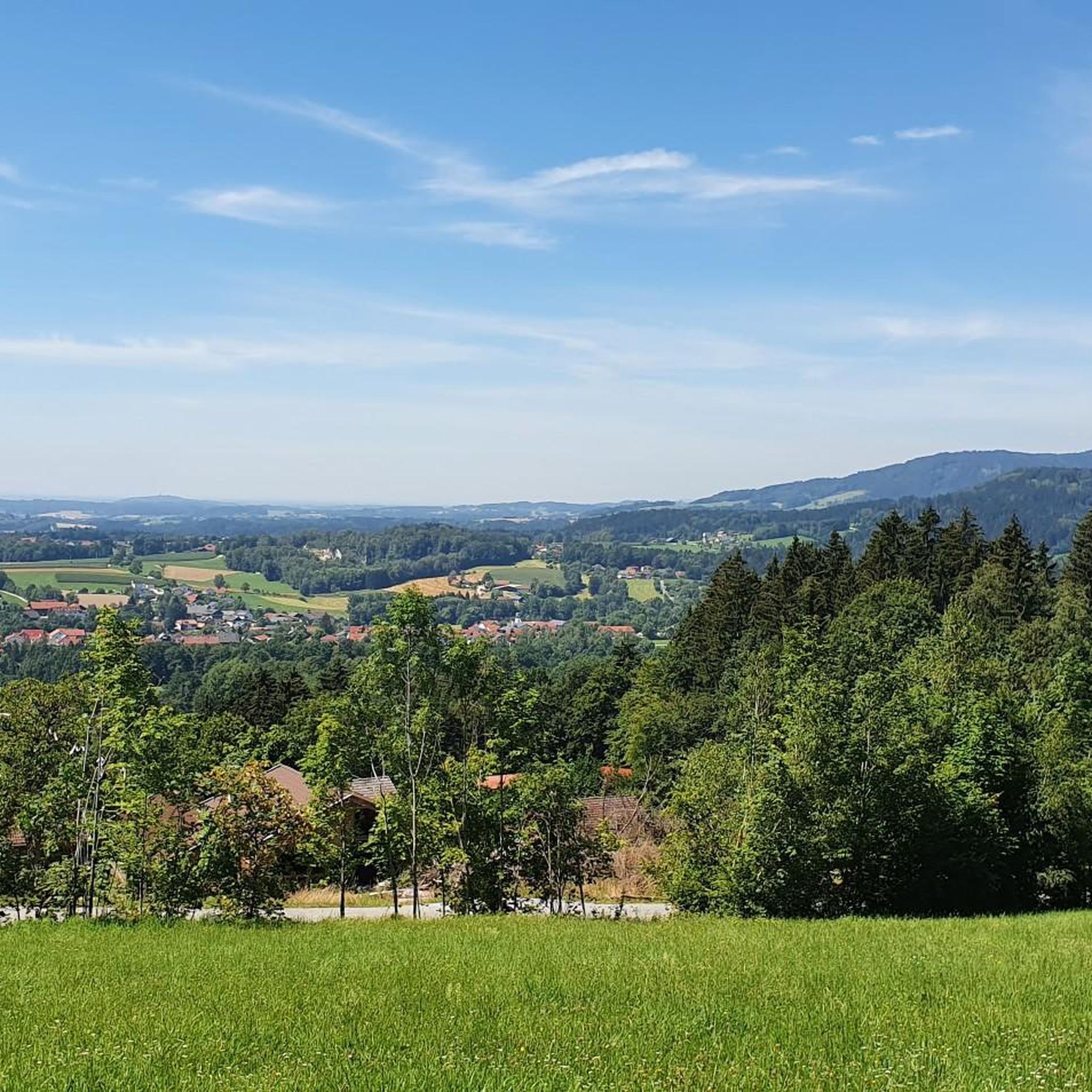
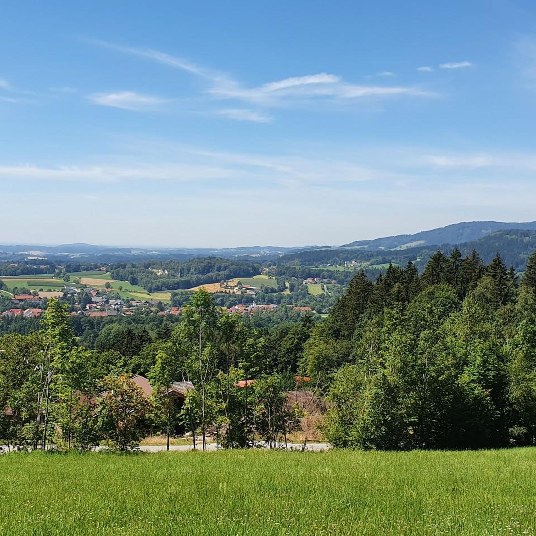
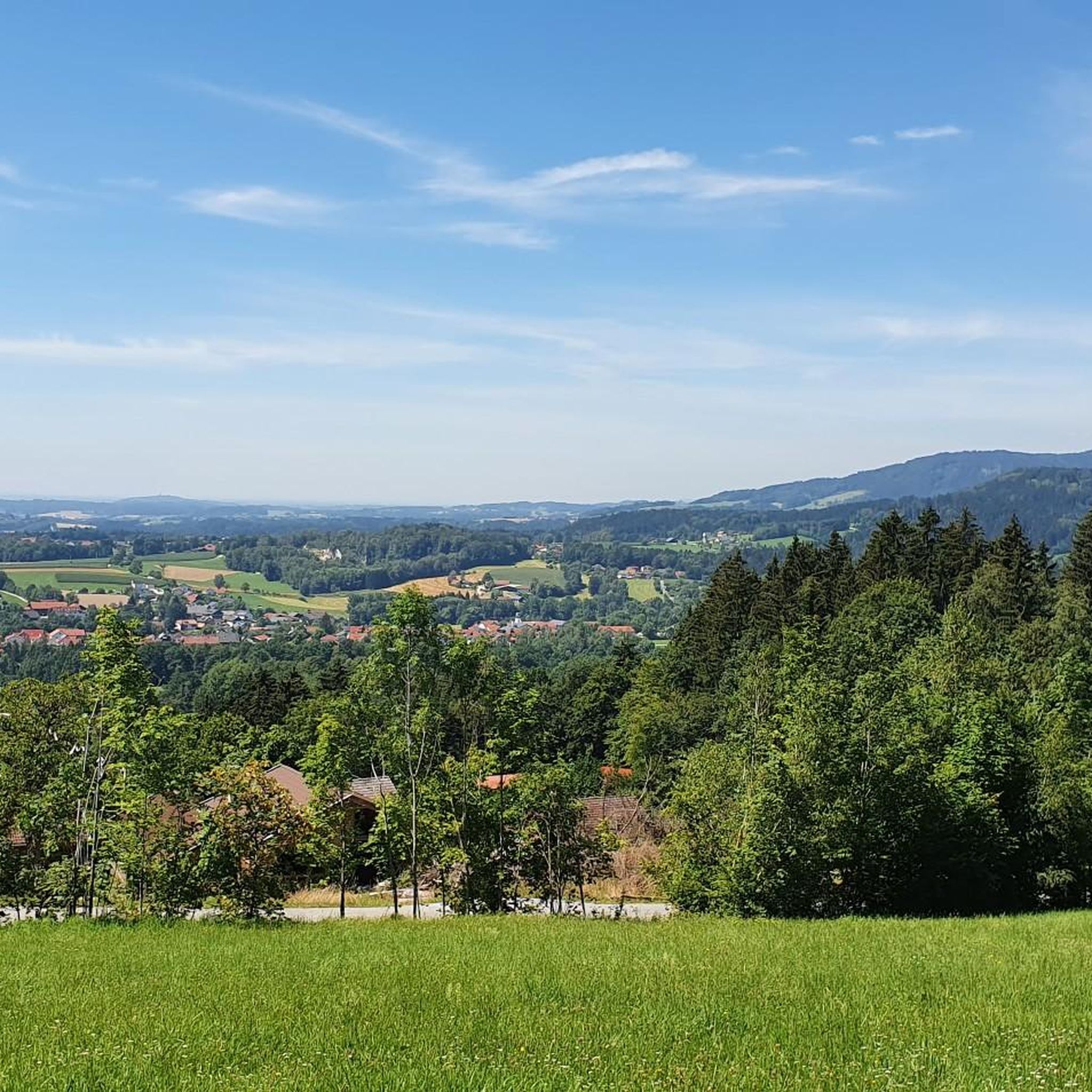
Gravel biking in Bruckbachholz features a landscape shaped by major rivers like the Teisnach, Danube, and Isar, alongside the Ettling Reservoir. The terrain offers a mix of flatter riverside paths and more challenging sections with significant elevation gains, reaching over 700 meters. This diverse environment provides varied surfaces suitable for gravel bikes, from compacted riverbank trails to more rugged, hilly routes. The region's extensive river systems and reservoir landscapes define the gravel biking experience.
Best gravel bike trails in Bruckbachholz
- The most popular gravel bike trail is View of the Teisnach River – Wildsaurennbahn Trail loop from Metten, a 28.2 miles (45.4 km) trail that takes 3 hours 27 minutes to complete. This difficult route includes substantial climbs and scenic river views.
- Another top favourite among local gravel bikers is Deggendorf Old Town 🏘️ – Danube Beach Bar Deggendorf loop from Deggendorf Hbf, a difficult 62.3 miles (100.2 km) path. This route combines urban exploration with extensive riverside riding along the Danube.
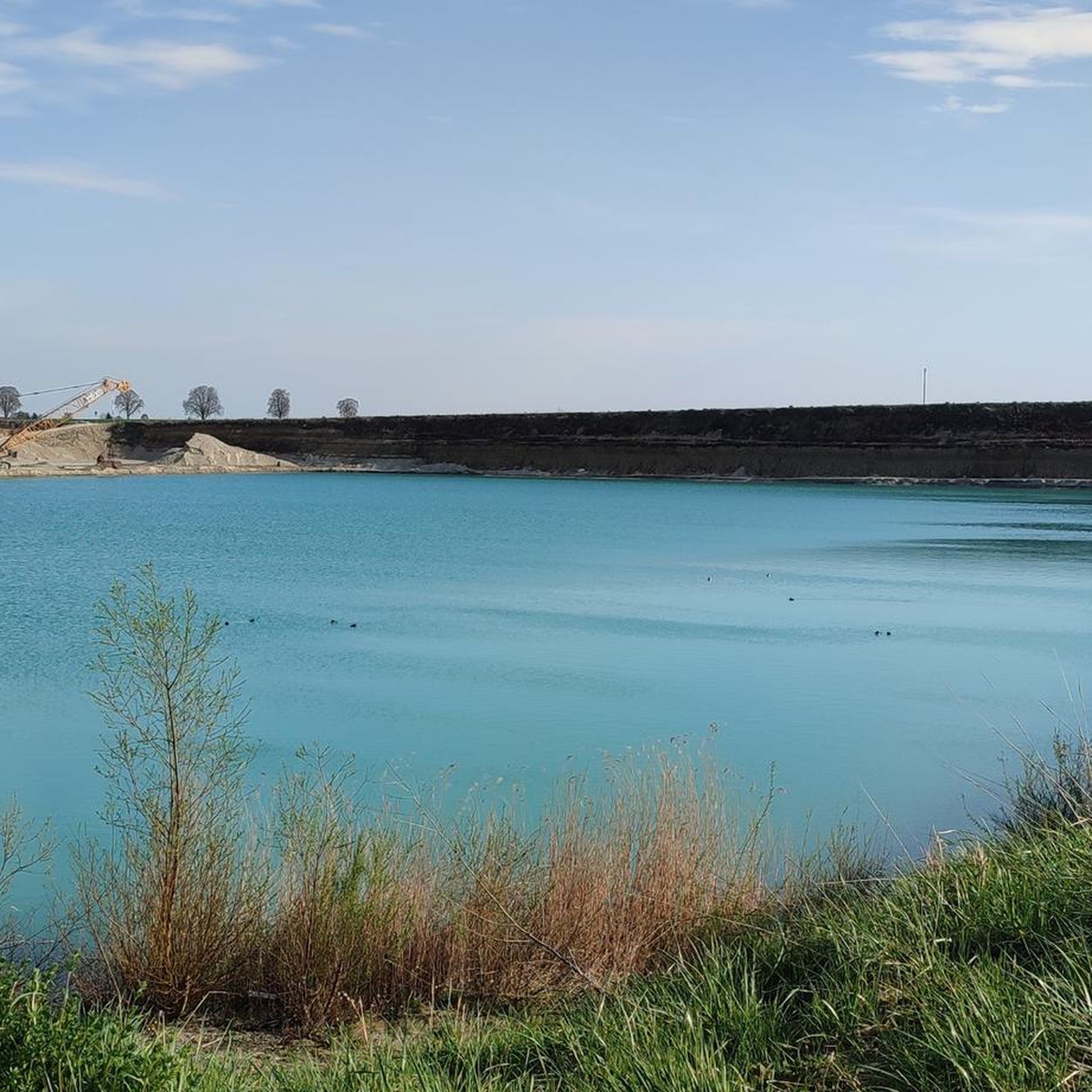
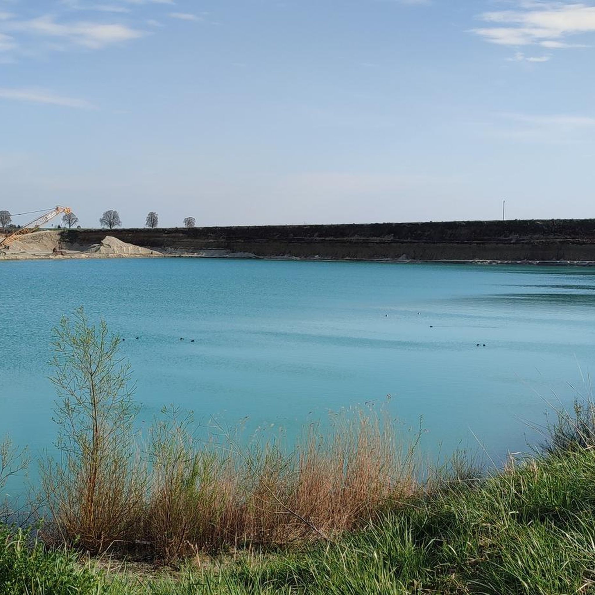
- Local gravel bikers also love the Ettling Reservoir Dam – Isar River loop from Deggendorf Hbf, a 42.1 miles (67.7 km) trail leading through river valleys and past the Ettling Reservoir, often completed in about 5 hours 11 minutes.
- Gravel biking in Bruckbachholz is defined by extensive river systems, reservoir landscapes, and varied elevation profiles. The network offers options for easy, moderate, and difficult routes, catering to different ability levels.
- The routes in Bruckbachholz are highly rated by the komoot community with an average score of 4.9 stars from over 20 reviews. More than 200 gravel bikers have used komoot to explore Bruckbachholz's varied terrain.
Last updated: May 22, 2026
4.6
(5)
44
riders
Hard gravel ride. Very good fitness required. You may need to push your bike for some segments of this route.
5.0
(4)
35
riders
67.7km
04:10
250m
250m
Moderate gravel ride. Good fitness required. Mostly paved surfaces. Suitable for all skill levels.

Sign up for free
19
riders
Moderate gravel ride. Good fitness required. Mostly paved surfaces. Suitable for all skill levels.
4.5
(2)
30
riders
79.9km
03:59
180m
180m
Moderate gravel ride. Good fitness required. Mostly paved surfaces. Suitable for all skill levels.
5.0
(2)
22
riders
Easy gravel ride. Great for any fitness level. Mostly paved surfaces. Suitable for all skill levels.
Get access to more routes and recommendations from other explorers.
Sign up for free
Already have an account?
Our route recommendations are based on thousands of hikes, rides, and runs completed by other people on komoot.
Start today with a free account
Your next adventure awaits.
Login or Signup
Tips from the Community

The Hilgartsberg is primarily known for the castle ruins of the same name, which majestically perch on a steep slope above the Danube in the Lower Bavarian market town of Hofkirchen (Passau district). It is considered one of the most historic sites in the region.
0
0

Inn P51 in Eichendorf
0
0

very beautiful bridge away from cars and traffic
1
0

Finish line for "Radler" fans... let's go
1
0
A lot of nature that is worth looking at not only with your head on the speedometer
3
0
The parking space, operated by the motorboat club at the marina
1
0

Towards Passau, the cycle path runs under the Danube Bridge. According to the navigation instructions from Komoot, you should cross the busy road on the left. It's dangerous.
1
0

The lower reaches of the Isar are no longer quite as exciting. Unfortunately, there is a lot of channeling. Only at the mouth does it become more natural again.
1
0
Frequently Asked Questions
How many gravel bike trails are available in Bruckbachholz?
Bruckbachholz offers a wide selection of gravel biking routes, with over 45 trails to explore. These range from easy riverside paths to challenging routes with significant elevation gains.
Are there any easy gravel bike trails suitable for beginners in Bruckbachholz?
Yes, Bruckbachholz has several easy gravel bike trails. While the region is known for its challenging routes, there are 9 routes classified as easy, often found along the flatter river sections. For a moderate option, consider the Isarmündung Nature Reserve – Donausteg Deggendorf loop from Deggendorf Hbf, which offers a pleasant 41.8 km ride with minimal elevation.
What kind of terrain can I expect on gravel bike routes in Bruckbachholz?
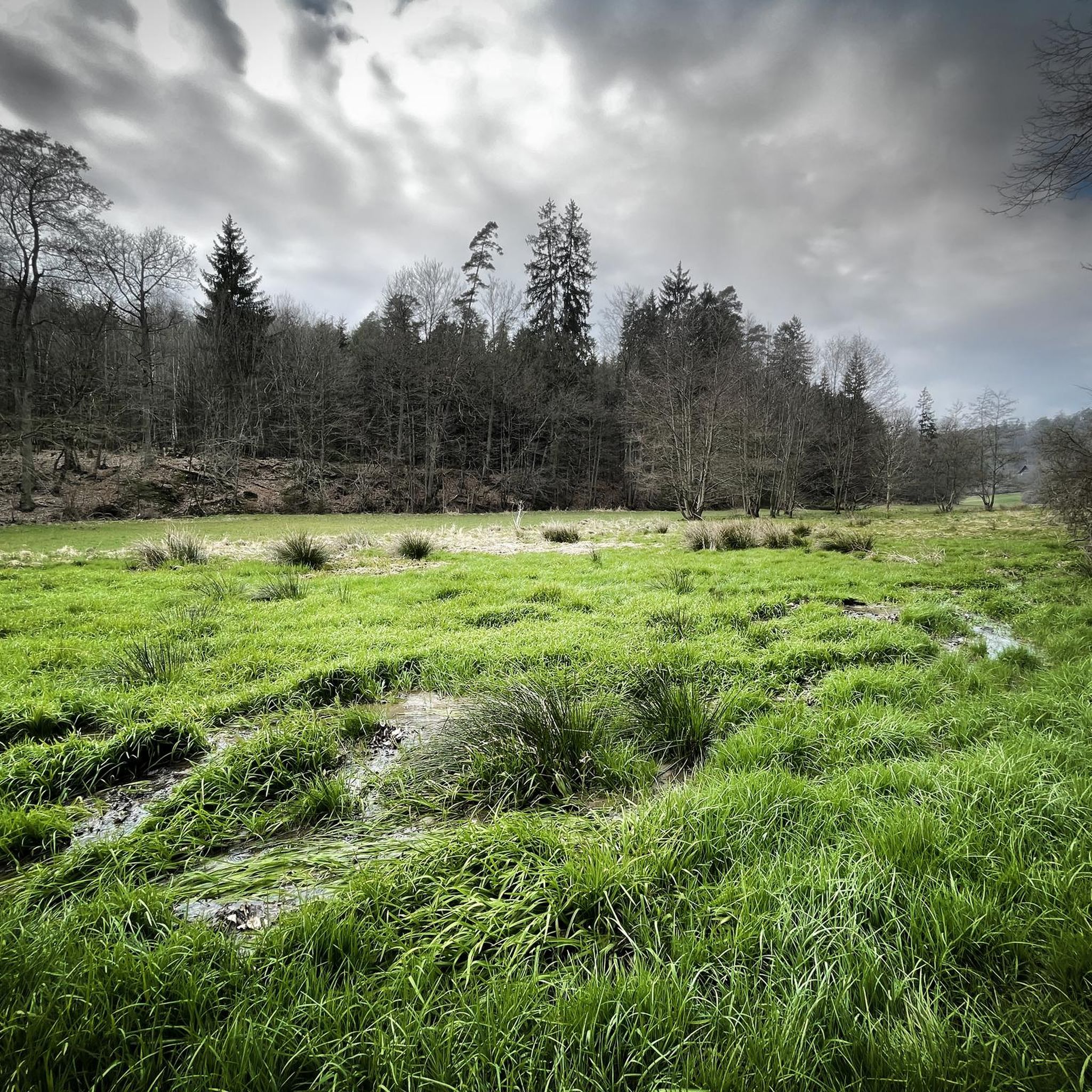
The terrain in Bruckbachholz is diverse, shaped by major rivers like the Teisnach, Danube, and Isar, as well as the Ettling Reservoir. You'll find a mix of compacted riverbank trails, forest paths, and more rugged, hilly sections, with some routes featuring over 700 meters of elevation gain.
Are there any family-friendly gravel biking options in Bruckbachholz?
For families, the flatter sections along the Danube and Isar rivers are generally more suitable. Look for routes classified as 'easy' in the komoot app, which typically have less challenging terrain and elevation. These often provide scenic and enjoyable rides for various skill levels.
Are there any circular gravel biking routes in Bruckbachholz?
Many of the gravel bike routes in Bruckbachholz are designed as loops, allowing you to start and end at the same point. For example, the Deggendorf Old Town 🏘️ – Danube Beach Bar Deggendorf loop from Deggendorf Hbf is a challenging 100.2 km circular route combining urban exploration with extensive riverside riding.
What are some notable viewpoints or attractions along the gravel bike trails?
Along the trails, you can discover various points of interest. The View of the Teisnach River – Wildsaurennbahn Trail loop from Metten offers scenic river views. You might also encounter highlights like the Via Nova Memorial or the tranquil Deggendorfer Himmelreich Nature Reserve. Some routes even feature unique spots like the 25% Gradient on Gravel Road for those seeking a challenge.
What is the best time of year for gravel biking in Bruckbachholz?
The best time for gravel biking in Bruckbachholz is generally from spring through autumn, when the weather is mild and trails are dry. During these seasons, you can fully enjoy the diverse landscapes along the rivers and through the forests. Winter riding is possible, but conditions can be challenging due to snow or ice, especially on higher elevation routes.
Are there any long-distance gravel routes in the region?
Yes, Bruckbachholz offers several extensive gravel routes for longer rides. The Deggendorf Old Town 🏘️ – Danube Beach Bar Deggendorf loop from Deggendorf Hbf is a significant 100.2 km route, and the Danube Riverside loop from Deggendorf Hbf covers nearly 80 km, providing ample distance for endurance riders.
What do other gravel bikers say about the routes in Bruckbachholz?
The gravel biking routes in Bruckbachholz are highly regarded by the komoot community, holding an impressive average rating of 4.8 stars from over 20 reviews. Riders frequently praise the varied terrain, the scenic river landscapes, and the well-maintained paths that cater to different skill levels.
Are there any routes that pass by the Ettling Reservoir?
Yes, the Ettling Reservoir Dam – Isar River loop from Deggendorf Hbf is a popular route that leads through river valleys and directly past the Ettling Reservoir. This 67.7 km trail offers beautiful views of the water and surrounding nature.
What are the most challenging gravel bike trails in Bruckbachholz?
For experienced gravel bikers seeking a challenge, Bruckbachholz has 22 routes classified as difficult. These often feature significant elevation gains, such as the View of the Teisnach River – Wildsaurennbahn Trail loop from Metten, which includes over 700 meters of climbing over 45.4 km.
Most popular routes in Bruckbachholz
Most popular attractions in Bruckbachholz

Get inspired with the komoot mobile app


Explore more
Browse the best Gravel rides in other regions.
