The best MTB trails in Bruckbachholz
4.6
(2777)
12,621
riders
472
rides
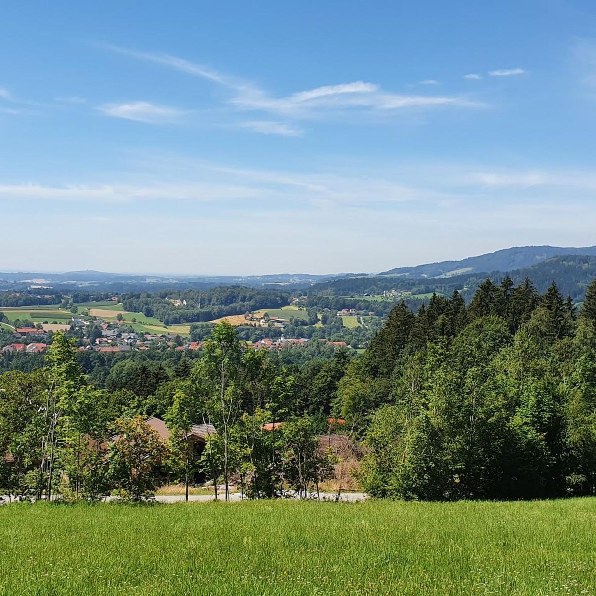
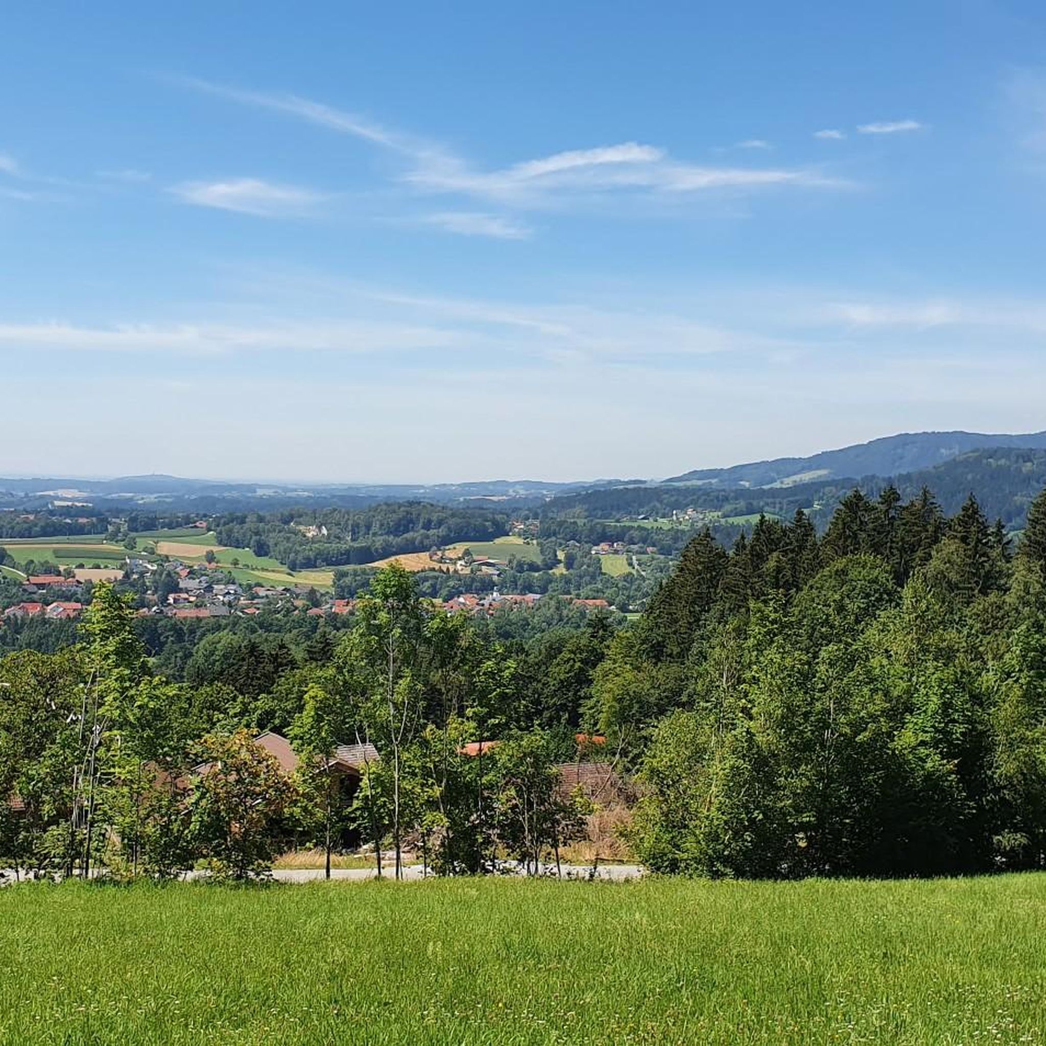
Mountain biking in Bruckbachholz offers diverse terrain within the broader Cham region, situated in the eastern part of Bavaria, Germany. The area is characterized by picturesque hills, dense forests, and the confluence of the Regen and Chamb rivers. It is nestled within the Bavarian Forest, a low mountain range featuring valleys, extensive woodlands, and varied elevation profiles suitable for mountain biking. The landscape provides a mix of challenging loop trails and less strenuous paths.
Best mountain bike trails in Bruckbachholz
…Last updated: June 26, 2026
4.8
(60)
205
riders
Moderate mountain bike ride. Good fitness required. Advanced riding skills necessary.
4.7
(13)
70
riders
31.8km
02:33
730m
730m
Moderate mountain bike ride. Good fitness required. Suitable for all skill levels.

Sign up for free
4.7
(28)
109
riders
Moderate mountain bike ride. Good fitness required. Suitable for all skill levels.
4.9
(13)
63
riders
67.7km
06:40
1,920m
1,920m
Hard mountain bike ride. Very good fitness required. Advanced riding skills necessary.
4.6
(10)
42
riders
67.3km
05:26
1,240m
1,240m
Hard mountain bike ride. Very good fitness required. Advanced riding skills necessary.
Get access to more routes and recommendations from other explorers.
Sign up for free
Already have an account?
Our route recommendations are based on thousands of hikes, rides, and runs completed by other people on komoot.
Start today with a free account
Your next adventure awaits.
Login or Signup

Tips from the Community

Highlight is in the wrong location
0
0

There are great trails all around the area
3
0

Beautiful bridge from Deggendorf to Plattling
1
0

Opening Hours of the Isar Estuary Information Center April 1 to October 31 Wednesday to Sunday 10:00 AM to 5:00 PM The information center is also open on public holidays that fall on Mondays or Tuesdays. Admission is free
0
0
The view is super beautiful
2
0

Always a highlight the stairs at the end of the bridge
0
0
Frequently Asked Questions
How many mountain bike trails are available in Bruckbachholz?
Bruckbachholz offers a wide selection of mountain bike trails, with over 480 routes available. These range from easy paths to more challenging rides, catering to various skill levels.
What kind of terrain can I expect on mountain bike trails in Bruckbachholz?
The terrain in Bruckbachholz, nestled within the Bavarian Forest, is diverse. You'll encounter picturesque hills, dense forests, and river valleys. Routes often feature varied elevation profiles, from less strenuous paths to more difficult trails with significant climbs. The region is characterized by valleys, grassland-dominated heights, and extensive forests.
Are there mountain bike trails suitable for beginners in Bruckbachholz?
Yes, Bruckbachholz has options for beginners. There are 76 easy mountain bike routes available. For example, the Bruckbach trail itself is described as an easy green singletrack, suitable for those seeking a less strenuous experience, and also good for e-biking or hiking.
What about more challenging mountain bike routes for advanced riders?
Advanced riders will find plenty of challenges in Bruckbachholz, with 104 difficult routes available. Trails like the Oberbreitenau Raised Bog – Geißkopf Observation Tower loop from Deggendorf Hbf offer substantial climbs and expansive views, requiring good fitness.
Are there any family-friendly mountain bike trails in Bruckbachholz?
While specific 'family-friendly' designations aren't always explicit, the presence of numerous easy and moderate trails suggests suitable options. Routes with less elevation gain and through scenic areas, such as those along the Regen River, could be enjoyable for families. Always check the route details for distance and elevation to ensure it matches your family's ability.
Where can I find scenic viewpoints or natural attractions along the trails?
The region around Bruckbachholz is rich in natural beauty. You can find scenic viewpoints and natural attractions such as the Deggendorfer Himmelreich Nature Reserve. The Bavarian Forest itself offers breathtaking viewpoints, and trails often lead to peaks like the Great Osser or provide panoramic views of the surrounding countryside.
Are there mountain bike routes that form a loop in Bruckbachholz?
Yes, many mountain bike routes in Bruckbachholz are designed as loops. Examples include the Oberbreitenau Raised Bog – View from Geßingerstein loop from Deggendorf Hbf and the Isarmündung Nature Reserve – Isarmündung Nature Reserve loop from Deggendorf Hbf. These circular routes allow you to start and end at the same point, making planning easier.
What is the best time of year for mountain biking in Bruckbachholz?
The Bavarian Forest region, including Bruckbachholz, is generally best for mountain biking during the warmer months, from spring through autumn. During these seasons, trails are typically clear of snow and ice, and the weather is more favorable for outdoor activities. In winter, the area offers opportunities for skiing and snowboarding, so mountain biking might be limited.
Is there parking available near the trailheads in Bruckbachholz?
While specific parking locations for Bruckbachholz trailheads are not detailed, the broader Cham region, being a popular outdoor destination, typically offers parking facilities near trail access points and in towns. It's advisable to check local signage or specific route descriptions for designated parking areas.
What do other mountain bikers say about the trails in Bruckbachholz?
The mountain bike trails in Bruckbachholz are highly rated by the komoot community, with an average score of 4.6 stars from over 2,000 reviews. More than 11,000 mountain bikers have explored the varied terrain, often praising the diverse landscapes, dense forests, and the mix of challenging and less strenuous paths.
Are there any unique natural features to explore while mountain biking in the region?
Absolutely. The region is part of the Bavarian Forest, Central Europe's largest protected forest area. You can explore the wild and romantic rocky forest gorge of the Höllbach Valley (Hölle) Nature Reserve, or ride along the picturesque Regen River. The area also features notable peaks like the Great Osser, offering stunning natural vistas.
Are there any places to eat or stay near the mountain bike trails?
The Cham region offers various amenities for visitors. While specific cafes or pubs directly on the Bruckbachholz trails are not listed, the nearby town of Cham and other communities in the Bavarian Forest provide options for dining and accommodation. The Kötztinger Hütte, a mountain hut, offers food and drinks with a large terrace, which can be a good stop during a ride.
Most popular routes in Bruckbachholz
Most popular attractions in Bruckbachholz

Get inspired with the komoot mobile app


Explore more
Browse the best MTB trails in other regions.
