The best gravel rides in Gillersheimer Forst
4.5
(73)
368
riders
80
rides
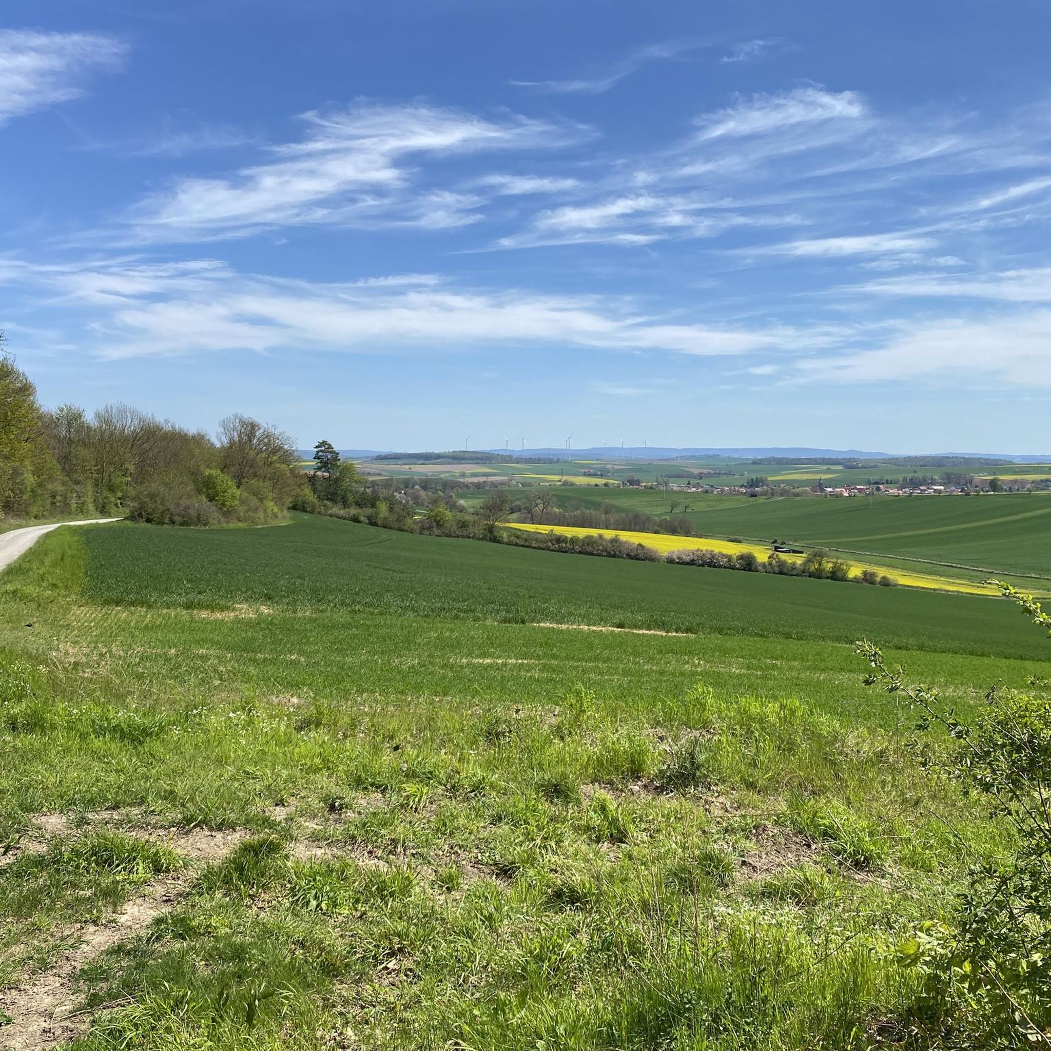
Gravel biking in Gillersheimer Forst offers a network of trails through varied terrain. The region is characterized by its dense woodlands, river valleys, and natural reserves, providing a mix of surfaces suitable for gravel bikes. Riders can expect routes that traverse alongside rivers like the Rhume and Söse, winding through forested areas and open landscapes. The elevation changes are generally moderate, with some routes featuring more significant climbs.
Best gravel bike trails in Gillersheimer Forst
- The most popular gravel bike trail is Leisenberg Church Ruins – Bremke Spring loop from NSG Husumer Tal, a 15.3 miles (24.7 km) trail that takes 1 hour 48 minutes to complete. This moderate route explores a nature reserve valley and passes historical ruins.
- Another top favourite among local gravel bikers is Rhume Riverside – Klingenberg spring loop from NSG Husumer Tal, a moderate 16.8 miles (27.0 km) path. This trail follows the Rhume river, offering scenic views along the water.
- Local gravel bikers also love the Flow Trail along the Rhume – Söse River Near Dorste loop from Katlenburg, a 21.9 miles (35.2 km) trail leading through riverine landscapes and forests, often completed in about 2 hours 7 minutes.
- Gravel biking in Gillersheimer Forst is defined by river valleys, dense woodlands, and natural reserves, with routes offering options for easy, moderate, and difficult ability levels.
- The routes in Gillersheimer Forst are highly rated by the komoot community with an average score of 4.5 stars from over 70 reviews. More than 350 gravel bikers have used komoot to explore Gillersheimer Forst's varied terrain.
Last updated: July 3, 2026
4.8
(4)
18
riders
53.1km
02:56
190m
190m
Moderate gravel ride. Good fitness required. Mostly paved surfaces. Suitable for all skill levels.
3
riders
Moderate gravel ride. Good fitness required. Mostly paved surfaces. Suitable for all skill levels.

Sign up for free
5.0
(3)
11
riders
27.0km
01:28
150m
150m
Moderate gravel ride. Good fitness required. Mostly paved surfaces. Suitable for all skill levels.
4.5
(4)
10
riders
35.2km
02:06
300m
300m
Moderate gravel ride. Good fitness required. Mostly paved surfaces. Suitable for all skill levels.
3
riders
88.8km
06:22
1,260m
1,260m
Hard gravel ride. Very good fitness required. Mostly paved surfaces. Suitable for all skill levels.
Get access to more routes and recommendations from other explorers.
Sign up for free
Already have an account?
Our route recommendations are based on thousands of hikes, rides, and runs completed by other people on komoot.
Start today with a free account
Your next adventure awaits.
Login or Signup
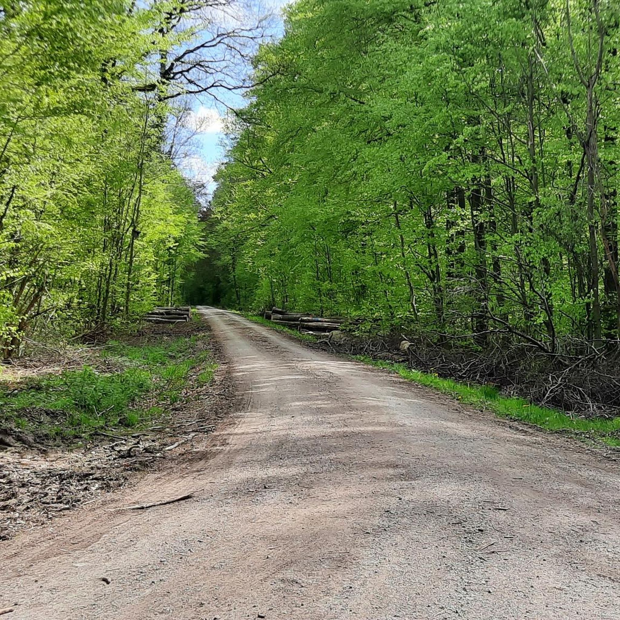
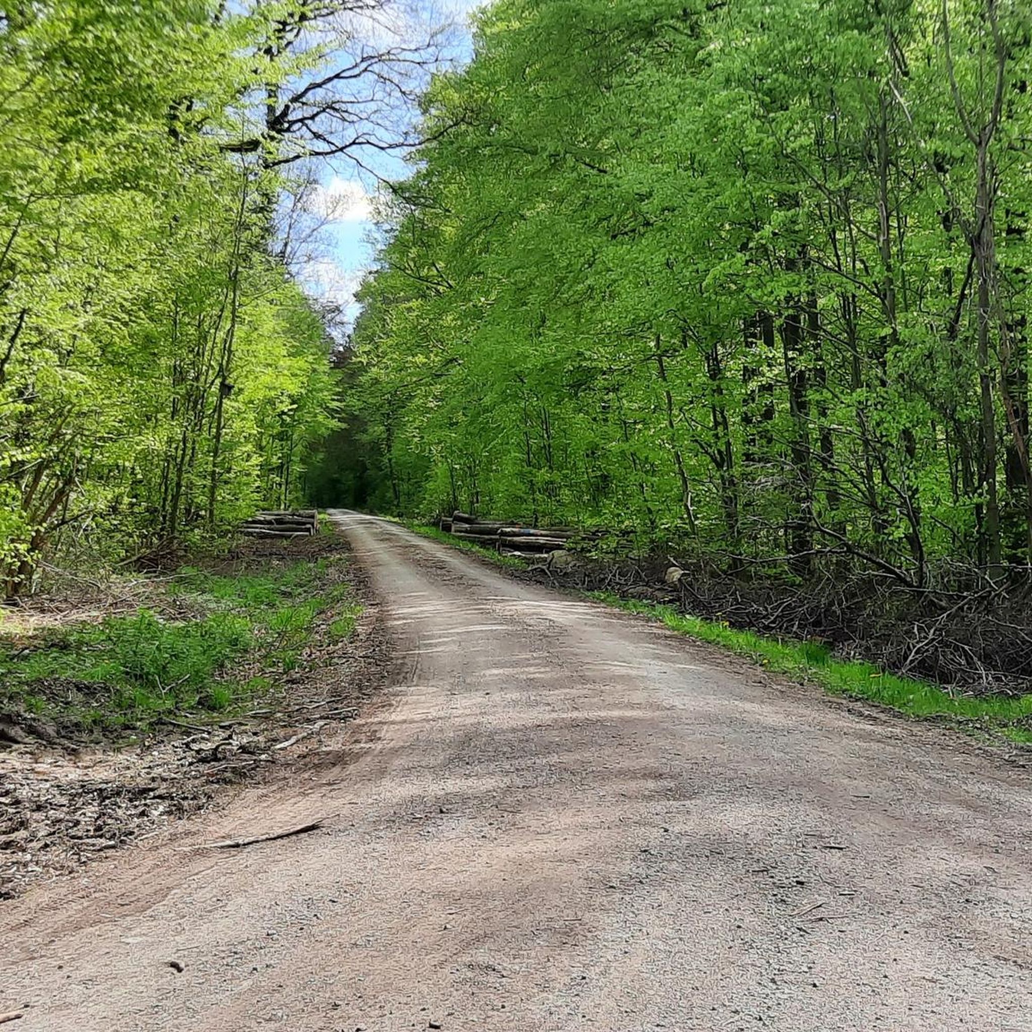
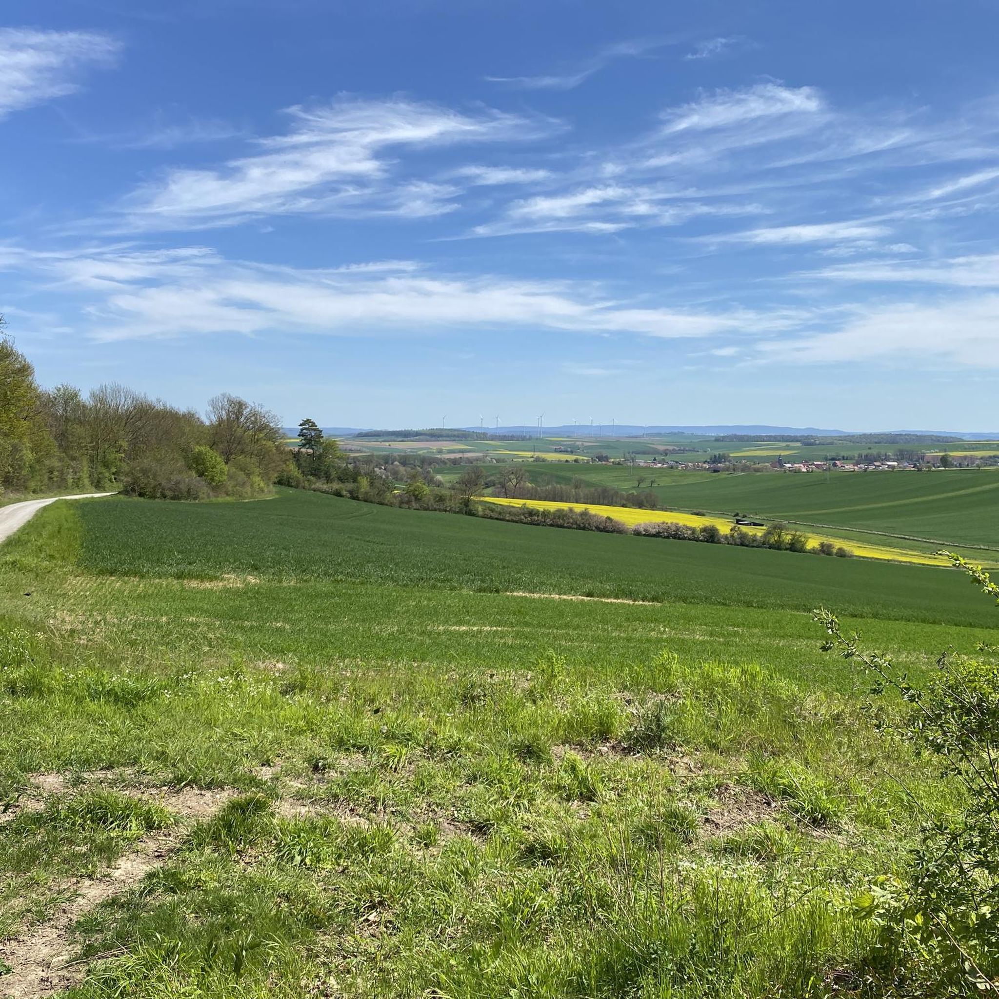
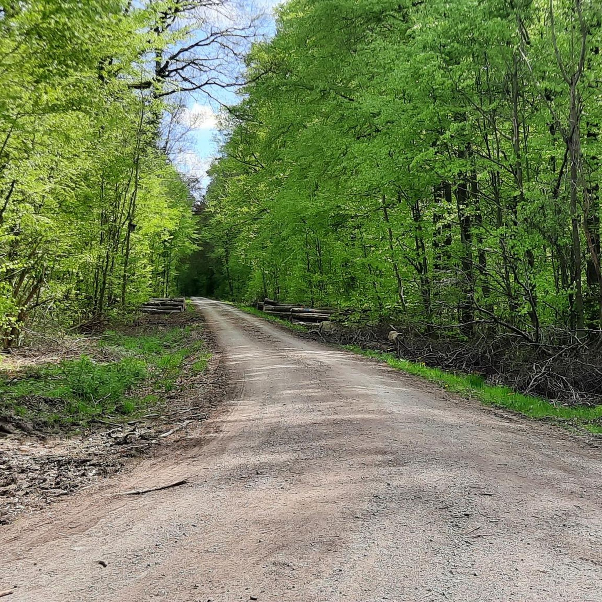
Tips from the Community

Very beautiful large pond of 8ha size, also created in the 17th century.
0
0

Attention. The circuit around the Bärenteich is not possible and inevitably ends in a moor.
0
0
Very beautiful lake plateau. Good bike path along the lakes.
0
0

Luckily it's not a singletrack trail, otherwise you'd have to dismount every time someone came the other way. It's certainly rideable with a city bike as well.
0
0

Large cabin with three long tables and benches, plus a barbecue area and outdoor tables and benches. A small, weak spring is located below. Bookings and reservations for groups and clubs can be made through the Bühle Forestry Association (Forstgemeinschaft Realverband Bühle), Tel. +49 5503 58559985. Large cabin with three long tables and benches, plus a barbecue hut and outdoor tables and benches. A small spring flows below. Bookings and reservations for groups and clubs: Bühle Forestry Association, Tel. +49 5503 58559985
0
0

The bridge was part of the Leinefelde–Wulften railway line, also known as the Lower Eichsfeld Railway. The Wulften–Duderstadt section was opened on November 1, 1889.
0
0
Nickname "Bimmelbrücke": The bridge got its popular name because the train constantly rang its bell ("bimmelte") when crossing the iron Oder bridge to warn of the many unguarded level crossings.
0
0

Coming from Northeim along the Rhume towards Kiessee directly behind the viaduct
0
0
Frequently Asked Questions
How many gravel bike trails are available in Gillersheimer Forst?
Gillersheimer Forst offers a wide selection of gravel bike routes, with over 90 trails documented on komoot. These routes cater to various skill levels, from easy to difficult, ensuring there's something for every rider.
Are there any easy gravel bike trails suitable for beginners in Gillersheimer Forst?
Yes, Gillersheimer Forst has several easy gravel bike trails perfect for beginners. One such route is the View of the River Rhume – Flow Trail along the Rhume loop from Katlenburg, which is 29.1 km long and features minimal elevation changes, making it a pleasant ride for those new to gravel biking.
What kind of terrain can I expect on gravel bike routes in Gillersheimer Forst?
The terrain in Gillersheimer Forst is diverse, characterized by dense woodlands, river valleys, and natural reserves. You'll encounter a mix of surfaces, including gravel paths, forest roads, and some paved sections, often traversing alongside rivers like the Rhume and Söse. Elevation changes are generally moderate, though some routes do include more significant climbs.
Are there any challenging gravel bike routes for experienced riders?
For experienced gravel bikers seeking a challenge, Gillersheimer Forst offers several difficult routes. An example is the Oberer Hahnebalzer Pond – Sumpfteich Buntenbock loop from Katlenburg. This extensive 88.8 km route includes over 1200 meters of elevation gain, providing a demanding ride through varied landscapes.
What are some scenic viewpoints or attractions along the gravel bike trails?
Many routes in Gillersheimer Forst offer scenic views and pass by interesting attractions. You can explore historical sites like the Leisenberg Church Ruins, or discover the Flax retting near Spanbeck. The region's river valleys, particularly along the Rhume and Söse, also provide picturesque landscapes.
Are there any circular gravel bike routes in Gillersheimer Forst?
Yes, many of the gravel bike routes in Gillersheimer Forst are designed as loops, allowing you to start and finish at the same point. Examples include the popular Leisenberg Church Ruins – Bremke Spring loop from NSG Husumer Tal and the Rhume Riverside – Klingenberg spring loop from NSG Husumer Tal, both offering convenient circular journeys.
What do other gravel bikers say about the trails in Gillersheimer Forst?
The gravel bike trails in Gillersheimer Forst are highly regarded by the komoot community, holding an average rating of 4.5 stars from over 70 reviews. Riders frequently praise the varied terrain, the beauty of the dense woodlands and river valleys, and the well-maintained paths suitable for gravel bikes.
Is Gillersheimer Forst suitable for family gravel biking?
While specific family-friendly routes are not explicitly highlighted, the presence of easy and moderate trails with generally moderate elevation changes suggests that some routes could be suitable for families. Look for shorter, less challenging loops, especially those that stick to flatter river sections, for a more enjoyable family outing.
Are there places to stop for refreshments or rest along the trails?
Yes, some routes pass by facilities where you might find opportunities for rest or refreshments. For instance, the Potsdamer Platz Rest Area is a designated spot for a break. Additionally, you might find huts like Köhler Pausenhütte or the Charcoal Burner's Hut on the Höhenweg, which can serve as good stopping points.
What is the best time of year to go gravel biking in Gillersheimer Forst?
Gravel biking in Gillersheimer Forst is enjoyable throughout much of the year. Spring and autumn offer pleasant temperatures and beautiful scenery with changing foliage. Summer provides longer daylight hours, while winter can be ridden if conditions are dry and trails are not excessively muddy or icy, though some paths might be less accessible.
Are there any less crowded gravel bike trails in the region?
While some routes are popular, with over 90 trails available, it's possible to find less crowded options, especially on weekdays or by exploring some of the less-trafficked moderate or difficult routes. The extensive network allows for variety, so you can often find quieter paths away from the main highlights.
Most popular routes in Gillersheimer Forst
Most popular attractions in Gillersheimer Forst

Get inspired with the komoot mobile app


Explore more
Browse the best Gravel rides in other regions.
