The best gravel rides in Fryers Ridge State Forest
4.5
(5)
53
riders
18
rides
Gravel biking in Fryers Ridge State Forest offers a network of well-marked four-wheel drive tracks and unpaved segments, ideal for exploring its diverse terrain. The region is characterized by tranquil woodlands, undulating hills, and varied ecosystems, providing an engaging experience for gravel cyclists. These trails, originally designed for emergency vehicles, ensure a robust and accessible network for riders through Central Victoria's wilderness.
Best gravel bike trails in Fryers Ridge State Forest
- The most popular gravel bike trail is Muckleford Train…
Last updated: July 3, 2026
4.0
(2)
31
riders
36.6km
02:41
320m
320m
Moderate gravel ride. Good fitness required. Mostly paved surfaces. Suitable for all skill levels.
5
riders
52.3km
04:13
680m
680m
Hard gravel ride. Very good fitness required. Mostly paved surfaces. Suitable for all skill levels.

Sign up for free
5.0
(1)
5
riders
27.1km
01:56
260m
260m
Moderate gravel ride. Good fitness required. Mostly paved surfaces. Suitable for all skill levels.
2
riders
35.8km
02:30
310m
310m
Moderate gravel ride. Good fitness required. Mostly paved surfaces. Suitable for all skill levels.
3
riders
43.9km
03:10
360m
360m
Moderate gravel ride. Good fitness required. Mostly paved surfaces. Suitable for all skill levels.
Get access to more routes and recommendations from other explorers.
Sign up for free
Already have an account?
Our route recommendations are based on thousands of hikes, rides, and runs completed by other people on komoot.
Start today with a free account
Your next adventure awaits.
Login or Signup
Tips from the Community

Located in Victoria's Goldfields region, Casltemaine got its start with the Victoria Goldrush in 1851. The Dja Dja Wurrung have called this area home and who are part of the Kulin alliance made up of 16 nearby clans. Today Castlemaine is a popular destination due to its historic architecture, bustling arts scene, and abundance of outdoor activities. The town is also known for having a great food and wine scene with a wide variety ranging from pub fare to modern cafes, breweries, wineries, and cideries.
0
0
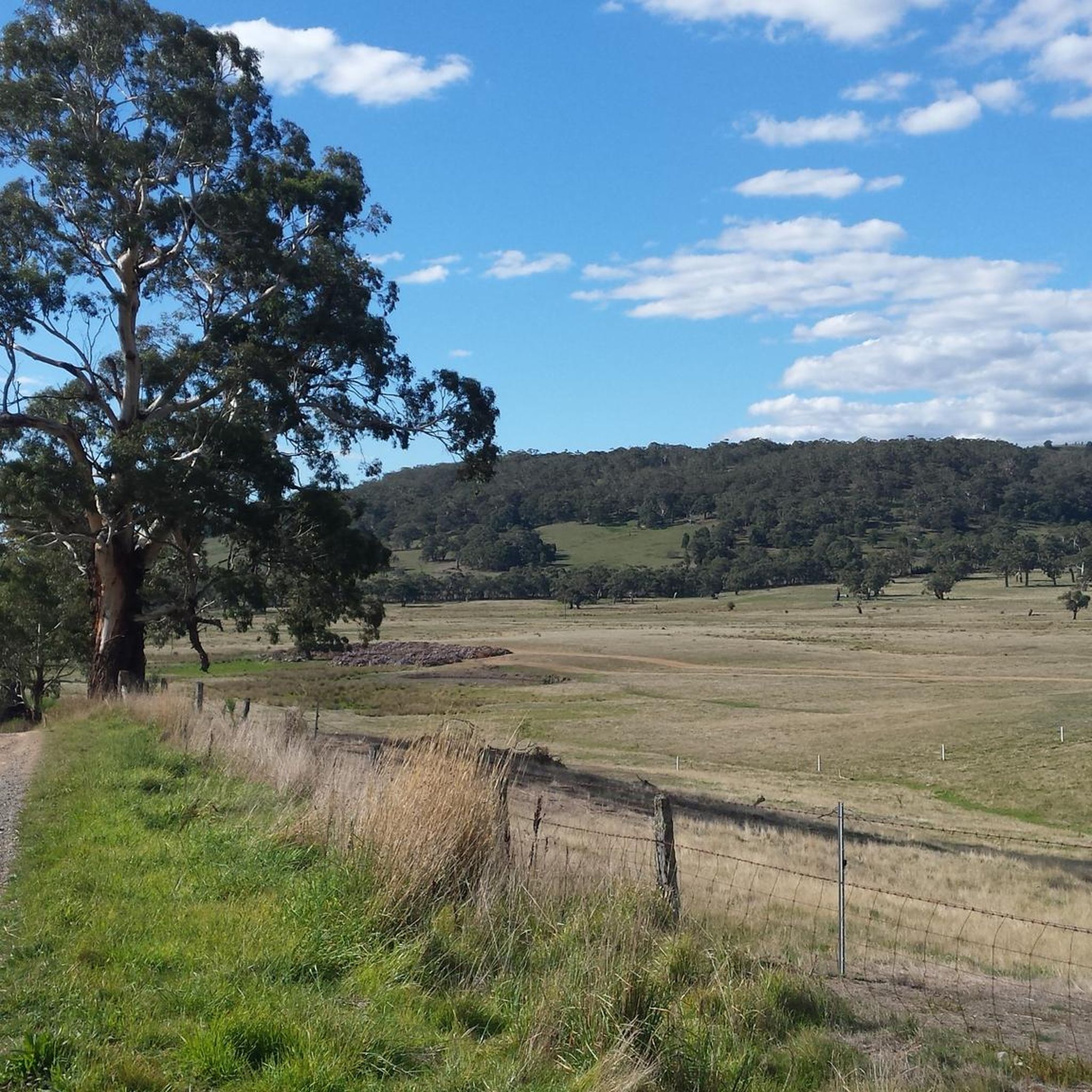
This wide, gravely shared-use path heads south from Castlemaine alongside its namesake creek. It's popular with gravel bikers, joggers, and hikers who enjoy getting out in nature for exercise or to commute to the southern reaches of town.
0
0
Castlemaine Station provides regular commuter service on the V/Line as well as the historic Victorian Goldfields Railway. This makes it a great option for history buffs and cyclists and hikers who want to do a long one-way journey and take the train the other way.
1
0

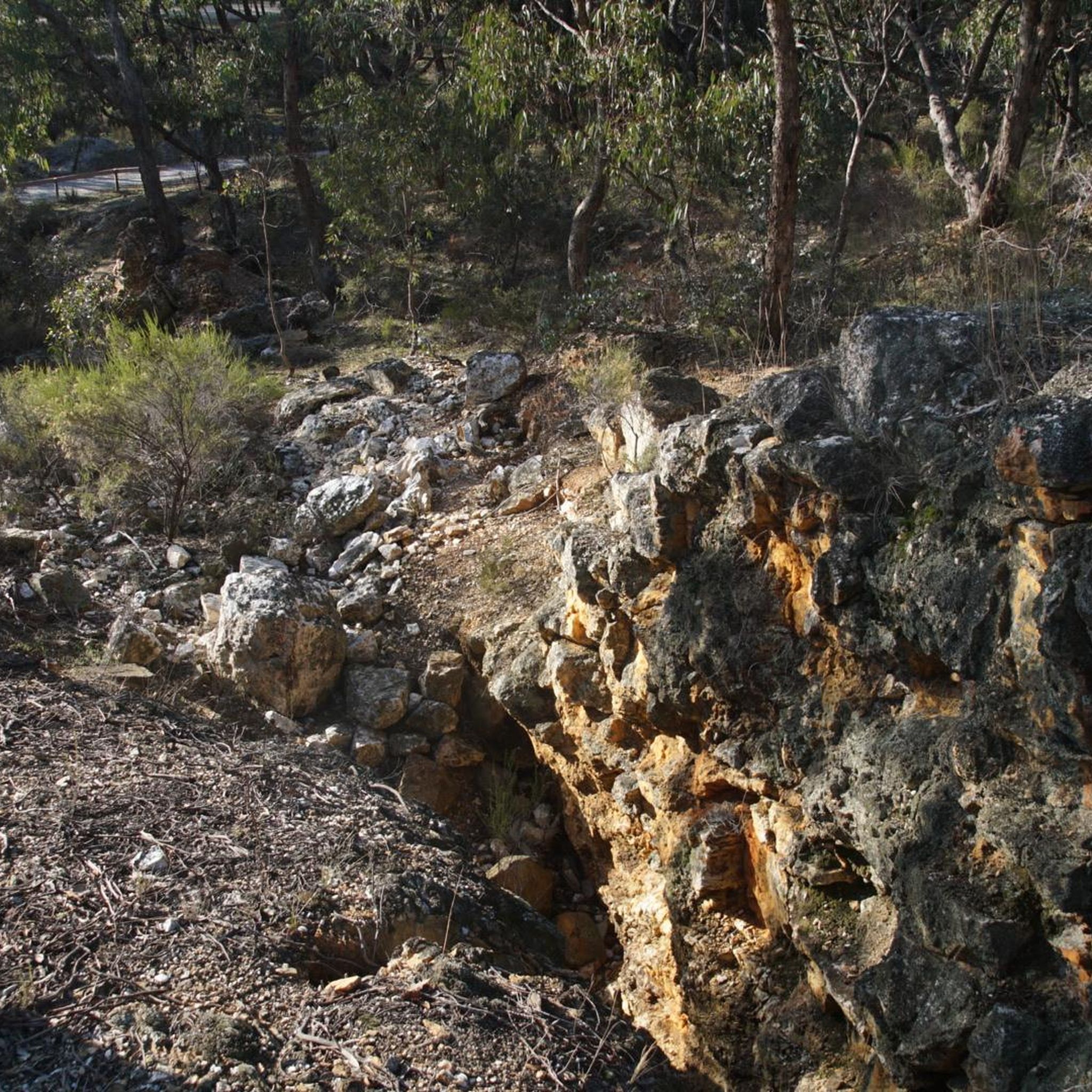
Thinking of all those little kids who perished from diseases of poverty, harsh conditions on the Goldfields
0
0


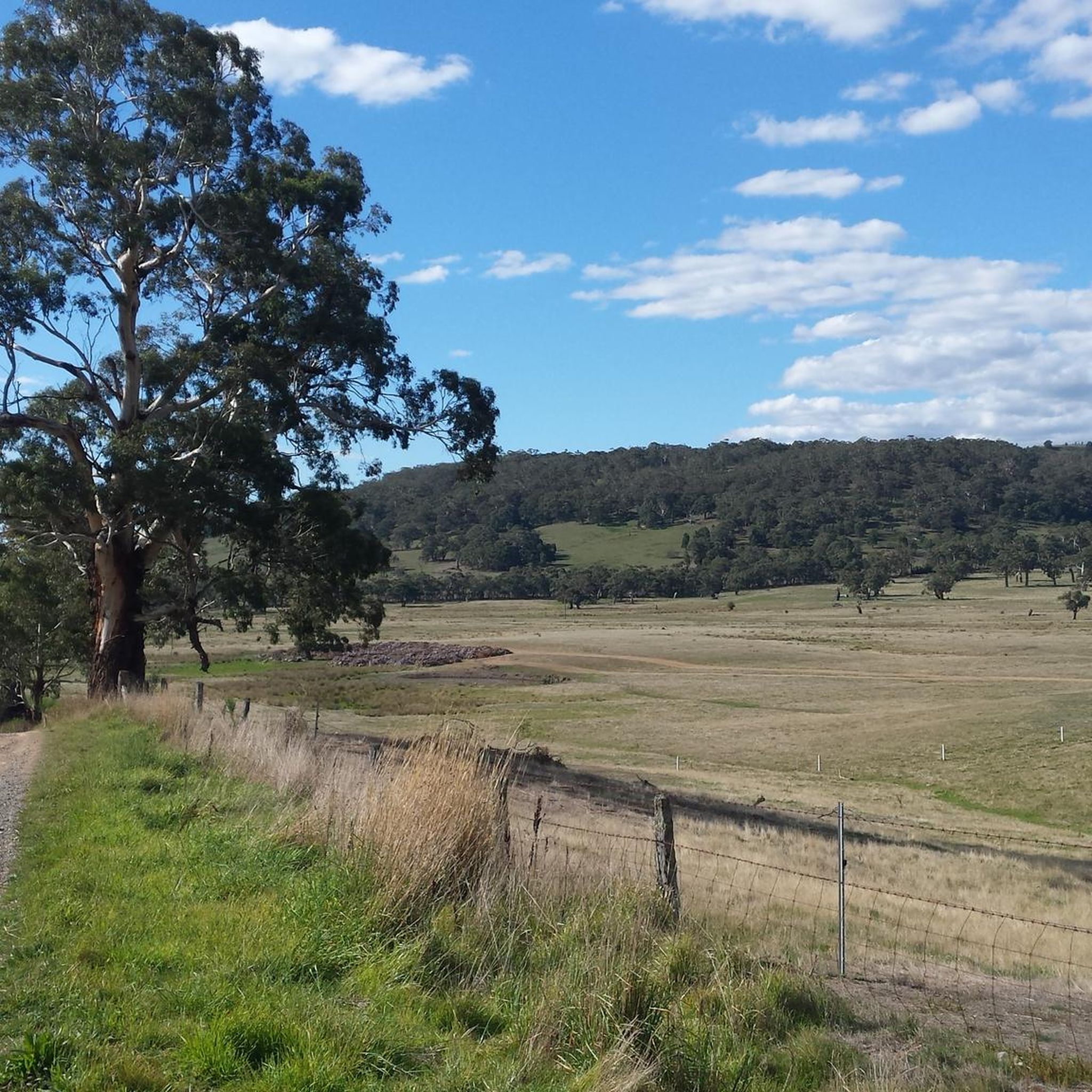
Flat'ish' loop on a mix of sealed and gravel roads out of Maldon, with some splendid scenery.
0
0

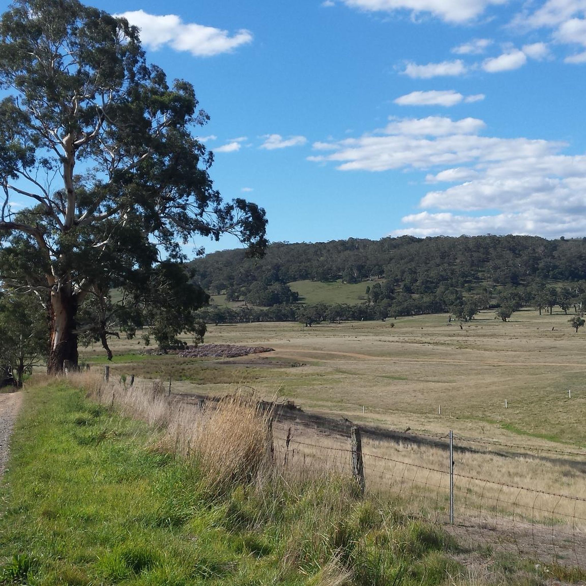
Heritage restored steam train station in country Victoria
1
0
Frequently Asked Questions
How many gravel bike trails are available in Fryers Ridge State Forest?
Fryers Ridge State Forest offers a diverse network of over 20 gravel bike trails. These routes range from moderate to difficult, providing options for various skill levels and preferences.
What kind of terrain can I expect on the gravel bike trails in Fryers Ridge State Forest?
The terrain in Fryers Ridge State Forest is characterized by undulating hills and well-marked four-wheel drive tracks, along with unpaved segments. You'll encounter diverse ecosystems and some steeper sections, particularly in the northern parts, offering an engaging ride through scenic woodlands.
Are there any family-friendly gravel biking options in Fryers Ridge State Forest?
While many routes feature undulating hills and moderate difficulty, the well-maintained tracks can be suitable for families with some biking experience. For a taste of the area, consider routes that stick to the less steep, well-graded sections. Always check the route details for elevation and surface type to ensure it matches your family's ability.
What natural features or wildlife might I encounter while gravel biking here?
As you ride through Fryers Ridge State Forest, you'll be immersed in tranquil woodlands and diverse ecosystems. Keep an eye out for active birdlife, wallabies, and kangaroos. The area is also known for spectacular wildflower displays from June to December, adding vibrant color to your ride.
Are there any historical sites or landmarks to see along the trails?
Yes, the area holds significant history from the gold rush era and earlier Indigenous pathways. The Castlemaine Station – Shedshaker Brewing Taproom loop from Castlemaine, for instance, leads through tranquil woodlands and historical elements. You can also find remnants of past railway construction, old fireplaces, and footings of an old bridge, offering glimpses into the region's past.
What is the best time of year to go gravel biking in Fryers Ridge State Forest?
Fryers Ridge State Forest is enjoyable for gravel biking throughout much of the year. However, for the most vibrant natural experience, consider visiting between June and December to witness the spectacular wildflower displays. Always check local weather conditions, especially during hotter months or after heavy rain, as some unpaved sections might become challenging.
Where can I park when visiting Fryers Ridge State Forest for gravel biking?
The reserve is accessible via various points, including Fryerstown Road, Cypress Drive, and Dearden Creek Track. These access points typically offer suitable parking options for visitors looking to explore the gravel bike trails.
What do other gravel bikers say about the trails in Fryers Ridge State Forest?
The gravel bike routes in Fryers Ridge State Forest are highly rated by the komoot community, with an average score of 4.5 stars. Riders often praise the scenic woodlands, undulating hills, and the well-marked four-wheel drive tracks that make for an engaging experience.
Are there any loop trails for gravel biking in Fryers Ridge State Forest?
Yes, there are several excellent loop trails available. For example, the Muckleford Train Station – Maldon Railway Station loop from Castlemaine is a popular option, as is the Maldon Railway Station – Muckleford Train Station loop from Castlemaine, both offering diverse scenery and moderate challenges.
Are there any beginner-friendly gravel routes in the area?
While many routes are classified as moderate, the network of well-marked four-wheel drive tracks provides a generally robust and accessible experience. Beginners should look for routes with less elevation gain and stick to the wider, more established tracks. Always review the route details on komoot to choose a path that matches your comfort level.
Can I find places to rest or picnic along the gravel trails?
Yes, the region research indicates that picturesque picnic spots can be found near dams and in open woodland areas. The historic Railway Dam, for instance, is a notable feature where you might find a pleasant spot to take a break.
What is the longest gravel bike route available in Fryers Ridge State Forest?
One of the longer routes you can explore is the Shedshaker Brewing Taproom – Maldon Railway Station loop from Castlemaine, which covers approximately 43.9 kilometers (27.3 miles) and offers a substantial ride through the forest's diverse terrain.
Most popular routes in Fryers Ridge State Forest

Get inspired with the komoot mobile app


Explore more
Browse the best Gravel rides in other regions.
