The best running trails in Fryers Ridge State Forest
30
runners
5
runs
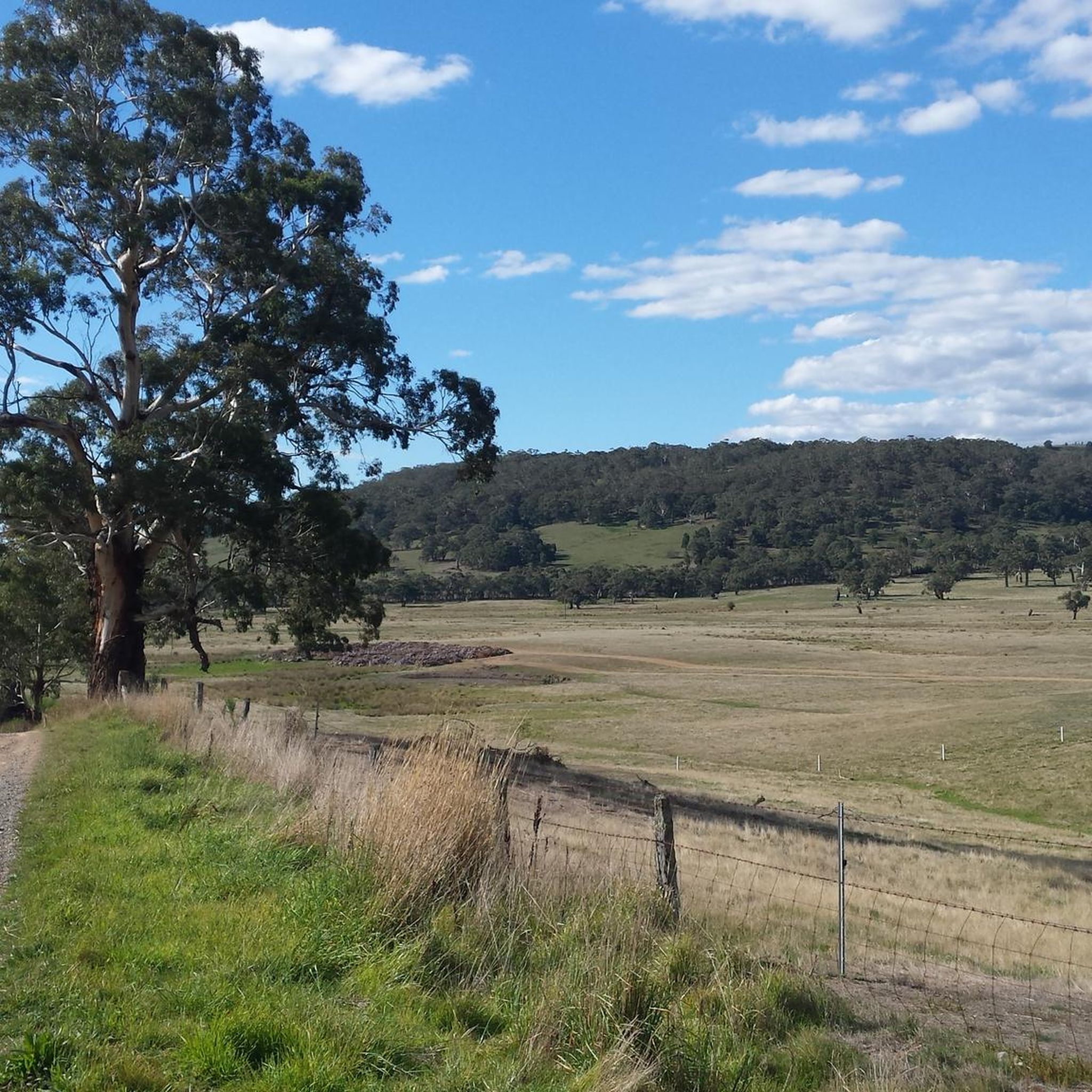
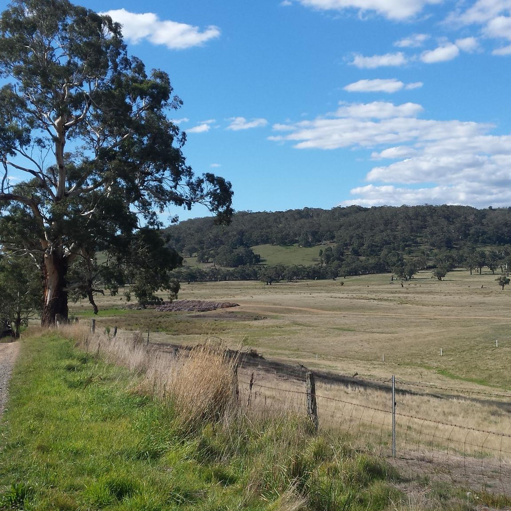
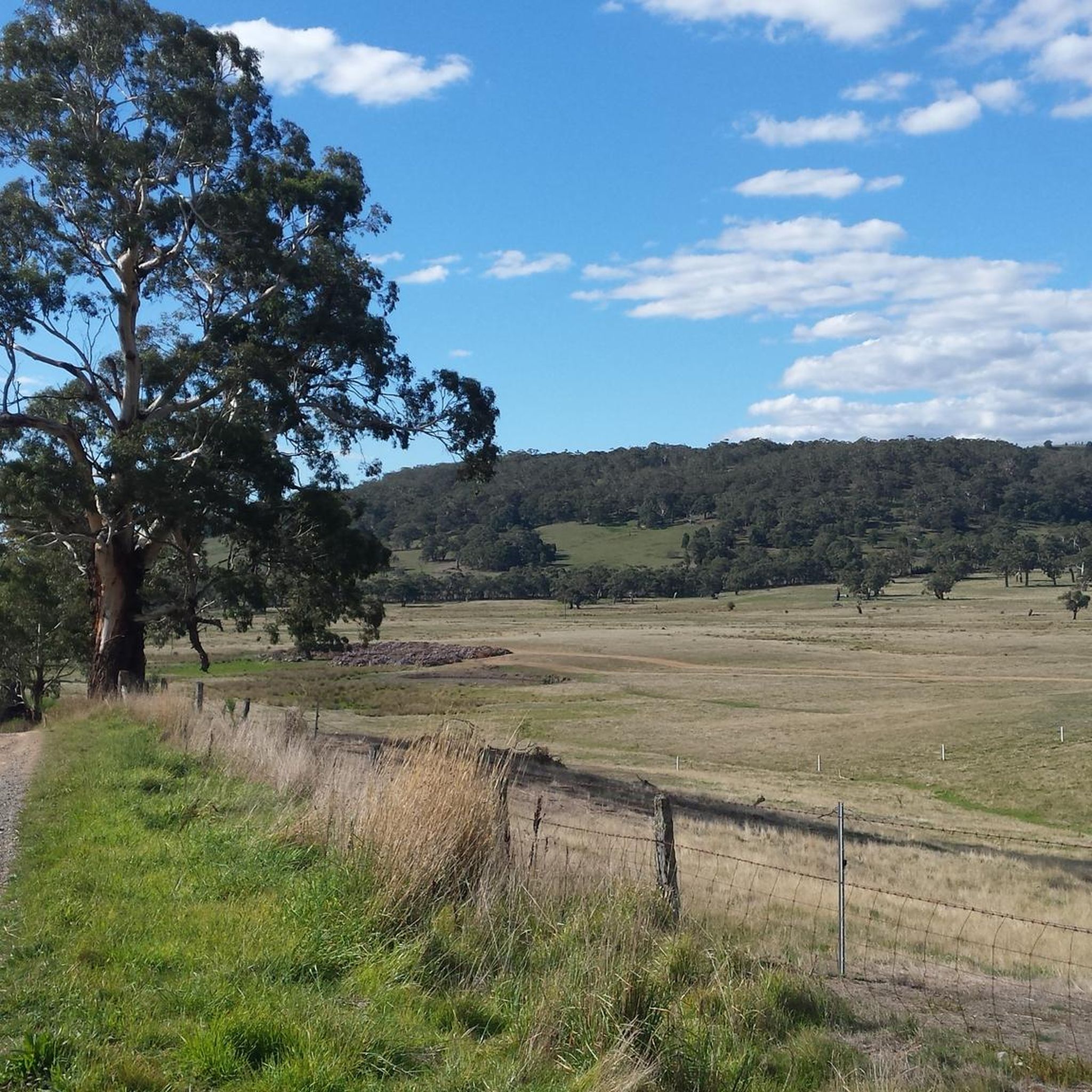
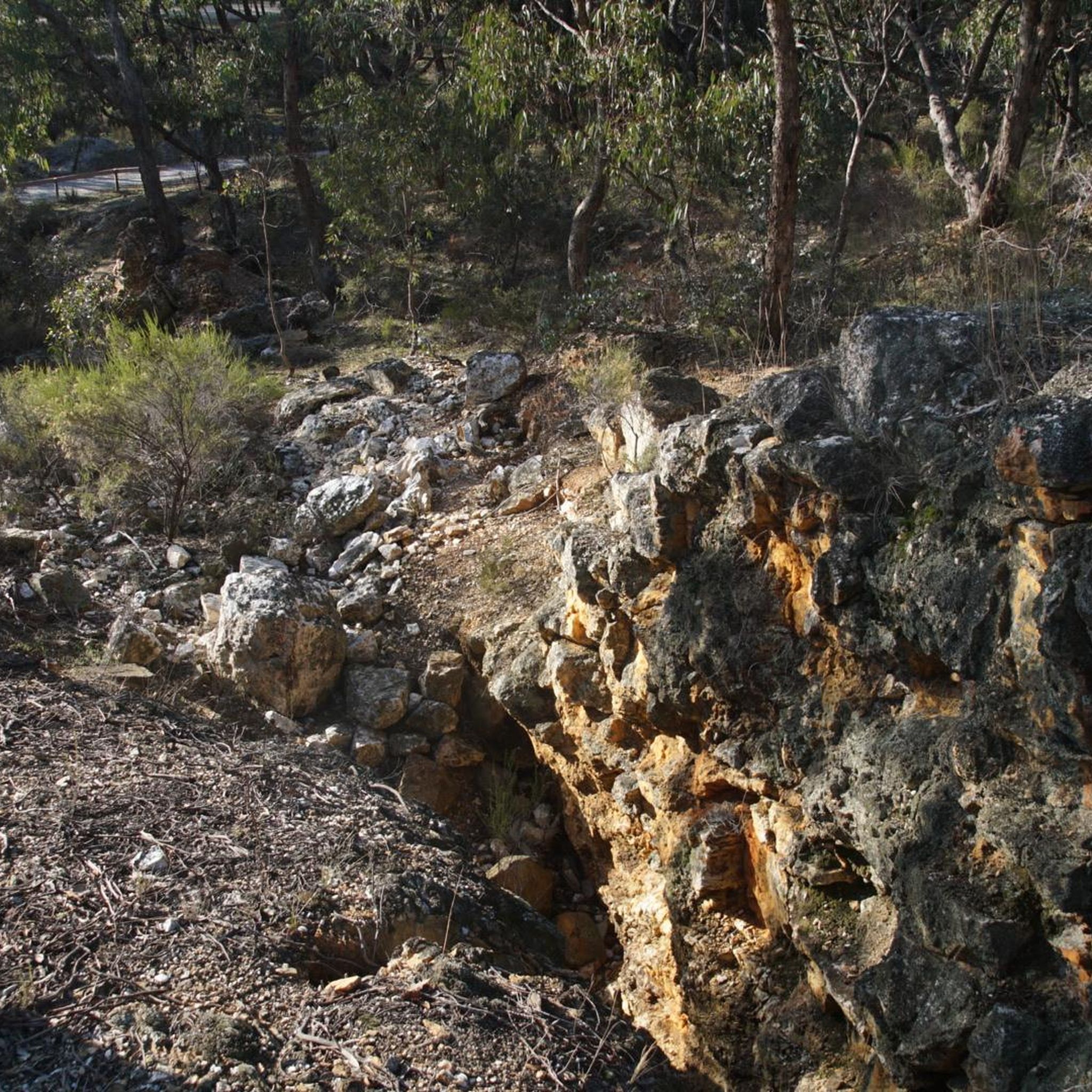
Jogging in Fryers Ridge State Forest offers a diverse natural environment for runners. The region is characterized by undulating ridges formed from ancient Ordovician slate geology, creating varied terrain. Well-marked tracks, originally designed for emergency vehicles, provide accessible routes through quiet woodland areas. This diverse ecosystem supports a rich natural setting for running.
Best jogging routes in Fryers Ridge State Forest
- The most popular jogging route is Running loop from Campbells Creek, a 3.7 miles (6.0 km) trail that…
Last updated: July 9, 2026
3
runners
6.03km
00:40
50m
50m
Moderate run. Good fitness required. Mostly paved surfaces. Suitable for all skill levels.
5
runners
Hard run. Very good fitness required. Mostly paved surfaces. Suitable for all skill levels.

Sign up for free
10
runners
10.4km
01:10
90m
90m
Moderate run. Good fitness required. Mostly paved surfaces. Suitable for all skill levels.
10
runners
5.18km
00:32
20m
20m
Moderate run. Good fitness required. Mostly paved surfaces. Suitable for all skill levels.
2
runners
5.75km
00:38
70m
70m
Moderate run. Good fitness required. Mostly paved surfaces. Suitable for all skill levels.
Our route recommendations are based on thousands of hikes, rides, and runs completed by other people on komoot.
Start today with a free account
Your next adventure awaits.
Login or Signup
Tips from the Community

Castlemaine Station provides regular commuter service on the V/Line as well as the historic Victorian Goldfields Railway. This makes it a great option for history buffs and cyclists and hikers who want to do a long one-way journey and take the train the other way.
1
0

Frequently Asked Questions
How many running routes are available in Fryers Ridge State Forest?
There are 5 dedicated running routes in Fryers Ridge State Forest, offering a variety of distances and difficulty levels for joggers.
What kind of terrain can I expect on the jogging trails in Fryers Ridge State Forest?
The terrain is characterized by undulating ridges formed from ancient Ordovician slate geology, creating a varied and scenic experience. You'll find quiet woodland areas, well-marked tracks, and some sections with moderate ascents and steeper climbs, making for a rewarding run.
Are there any circular running routes in Fryers Ridge State Forest?
Yes, all the featured routes are circular. For example, you can enjoy the Running loop from Campbells Creek, or the longer Lake Joanna – Coal store loop from Castlemaine.
When is the best time of year to go jogging in Fryers Ridge State Forest?
The reserve is beautiful year-round, but from June to December, you can experience spectacular wildflower displays, adding a vibrant visual element to your run. The tranquil woodlands are also enhanced by active birdlife throughout the year.
Are there running routes suitable for beginners in Fryers Ridge State Forest?
While there are no routes specifically graded as 'easy', many of the moderate trails are manageable for those with a reasonable fitness level. The Running loop from Campbells Creek is a popular moderate option at 6.0 km with relatively low elevation gain, making it a good starting point.
What are the more challenging running options in Fryers Ridge State Forest?
For a more demanding run, consider the Poverty Gully Reservoir – Forty Foot Hill loop from Campbells Creek. This difficult 18.0 km path features significant moderate ascents and steeper climbs across undulating ridges, perfect for experienced runners.
Can I expect to see any wildlife or natural attractions while running?
Absolutely! The tranquil beauty of the woodlands is home to abundant birdlife, and you're likely to encounter native Australian wildlife such as wallabies and kangaroos. There are also picturesque picnic spots near dams and within open woodland areas for a break.
How long do the running trails typically take to complete?
The duration varies depending on the route and your pace. Shorter routes like the Running loop from Campbells Creek (6.0 km) can take around 40 minutes, while longer, more challenging trails such as the Poverty Gully Reservoir – Forty Foot Hill loop from Campbells Creek (18.0 km) might take over 2 hours.
What do other runners enjoy most about jogging in Fryers Ridge State Forest?
Runners frequently praise the secluded immersion in Central Victoria's wilderness, the diverse natural features, and the well-maintained, well-marked trail network. The active birdlife and opportunities to spot native wildlife also contribute to an engaging and immersive experience.
Are there any specific routes that lead past Lake Joanna?
Yes, the Lake Joanna loop from Castlemaine is a moderate 5.2 km route that takes you around Lake Joanna. Another option is the Lake Joanna – Coal store loop from Castlemaine, which is a longer 10.4 km trail also featuring the lake.
Are the running tracks in Fryers Ridge State Forest well-marked?
Yes, the tracks within Fryers Ridge, originally designed for emergency vehicles, are now well-marked and suitable for various activities, including jogging. This makes navigation straightforward and allows you to focus on enjoying your run.
What is the longest running route available in the forest?
The longest running route is the Poverty Gully Reservoir – Forty Foot Hill loop from Campbells Creek, which spans 18.0 km and is classified as difficult due to its elevation changes.
Most popular routes in Fryers Ridge State Forest

Get inspired with the komoot mobile app


Explore more
Browse the best Running Trails & Routes in other regions.
