The best gravel rides around São Teotónio
5.0
(4)
30
riders
3
rides
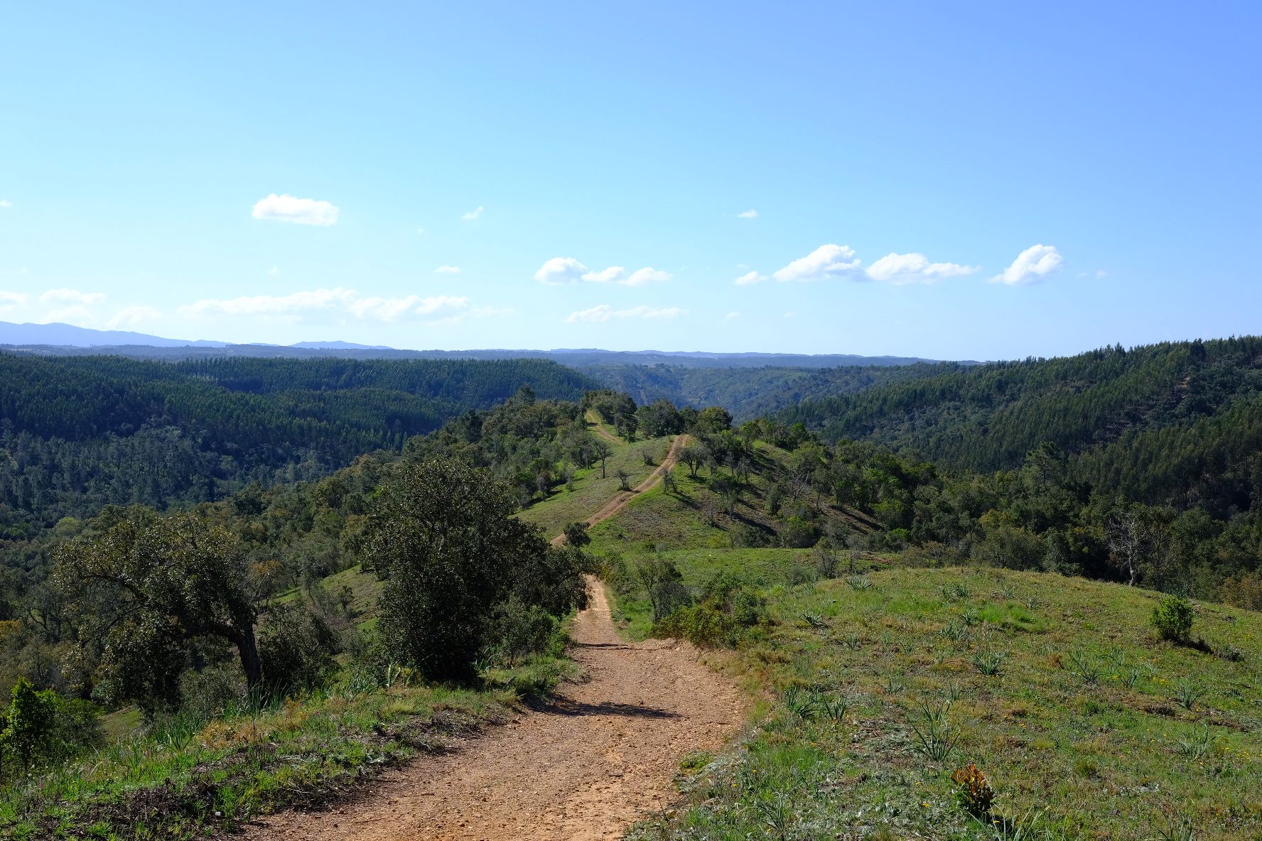
Gravel biking around São Teotónio offers diverse landscapes, blending the serene Alentejo countryside with the rugged beauty of the Costa Vicentina. This region is part of the Southwest Alentejo and Vicentine Coast Natural Park, featuring wild Atlantic coastlines, pine forests, and varied backroads. The terrain includes quiet national and municipal roads, paved paths, and wide dirt roads, providing a range of surfaces for gravel cyclists.
Best gravel bike trails around São Teotónio
- The most popular gravel bike trail is Milfontes…
Last updated: November 2, 2026
2
riders
108km
09:46
930m
930m
Hard gravel ride. Very good fitness required. You may need to push your bike for some segments of this route.
1
riders
87.1km
08:49
1,710m
1,710m
Hard gravel ride. Very good fitness required. You may need to push your bike for some segments of this route.

1
riders
16.7km
01:46
350m
340m
Moderate gravel ride. Good fitness required. Mostly paved surfaces.
5.0
(3)
24
riders
43.4km
02:46
380m
390m
Moderate gravel ride. Good fitness required. Mostly paved surfaces.
5.0
(1)
2
riders
58.3km
04:10
1,140m
1,140m
Hard gravel ride. Very good fitness required. Mostly paved surfaces.
Our route recommendations are based on thousands of hikes, rides, and runs completed by other people on komoot.
Start today with a free account
Your next adventure awaits.
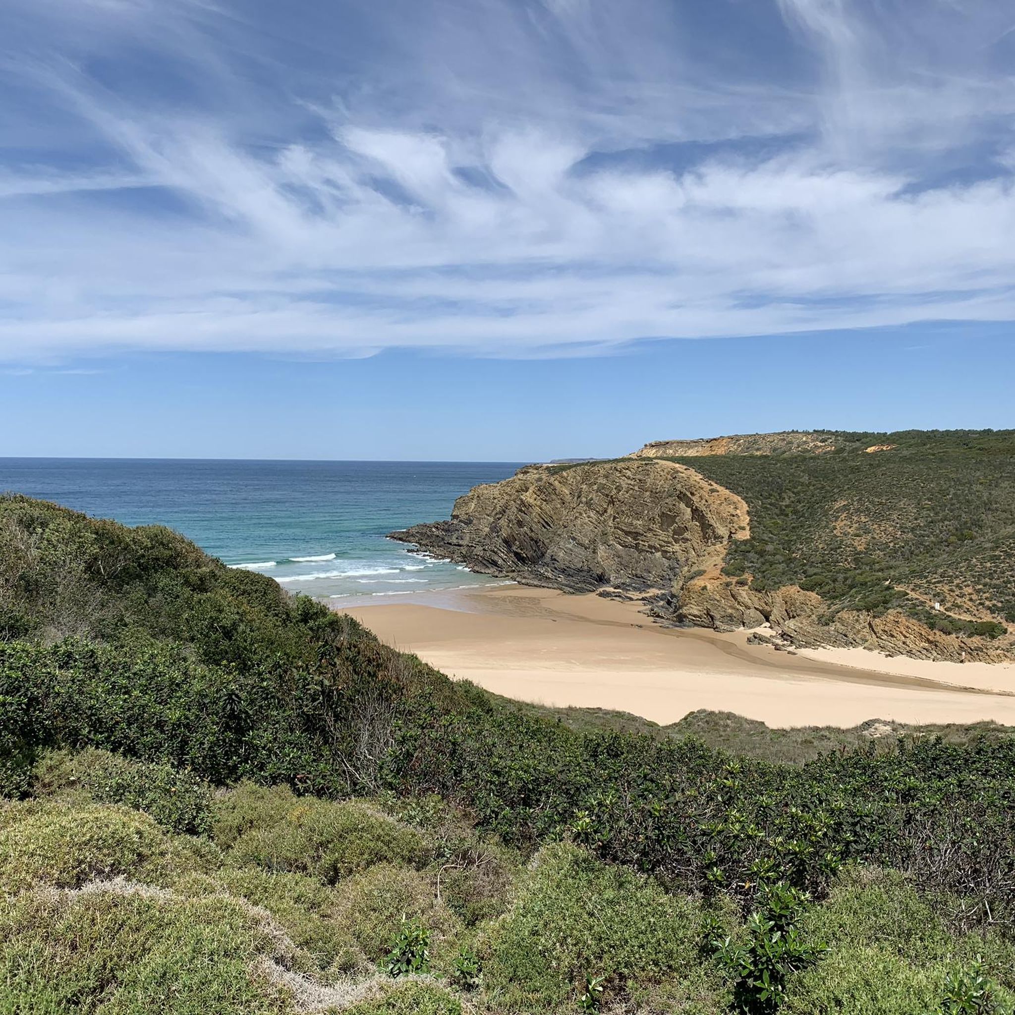
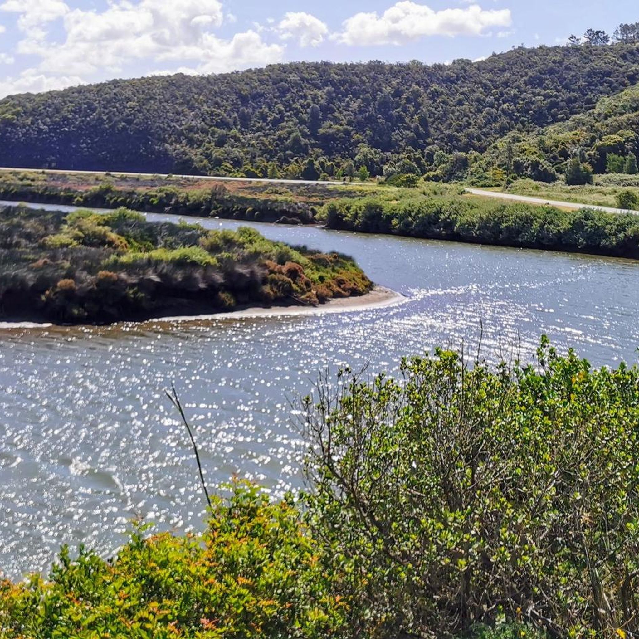
Other adventures around São Teotónio

Tips from the Community

The Church of Nossa Senhora da Cola (in Portuguese Igreja de Nossa Senhora da Cola or Ermida de Nossa Senhora da Cola) is an important pilgrimage sanctuary located in the municipality of Ourique, in the Baixo Alentejo region of Portugal.
0
0
A compact dirt road within the Parque Natural do Sudoeste Alentejano e Costa Vicentina represents one of the most fascinating access routes to explore the wild and pristine coast of south-western Portugal.
0
0
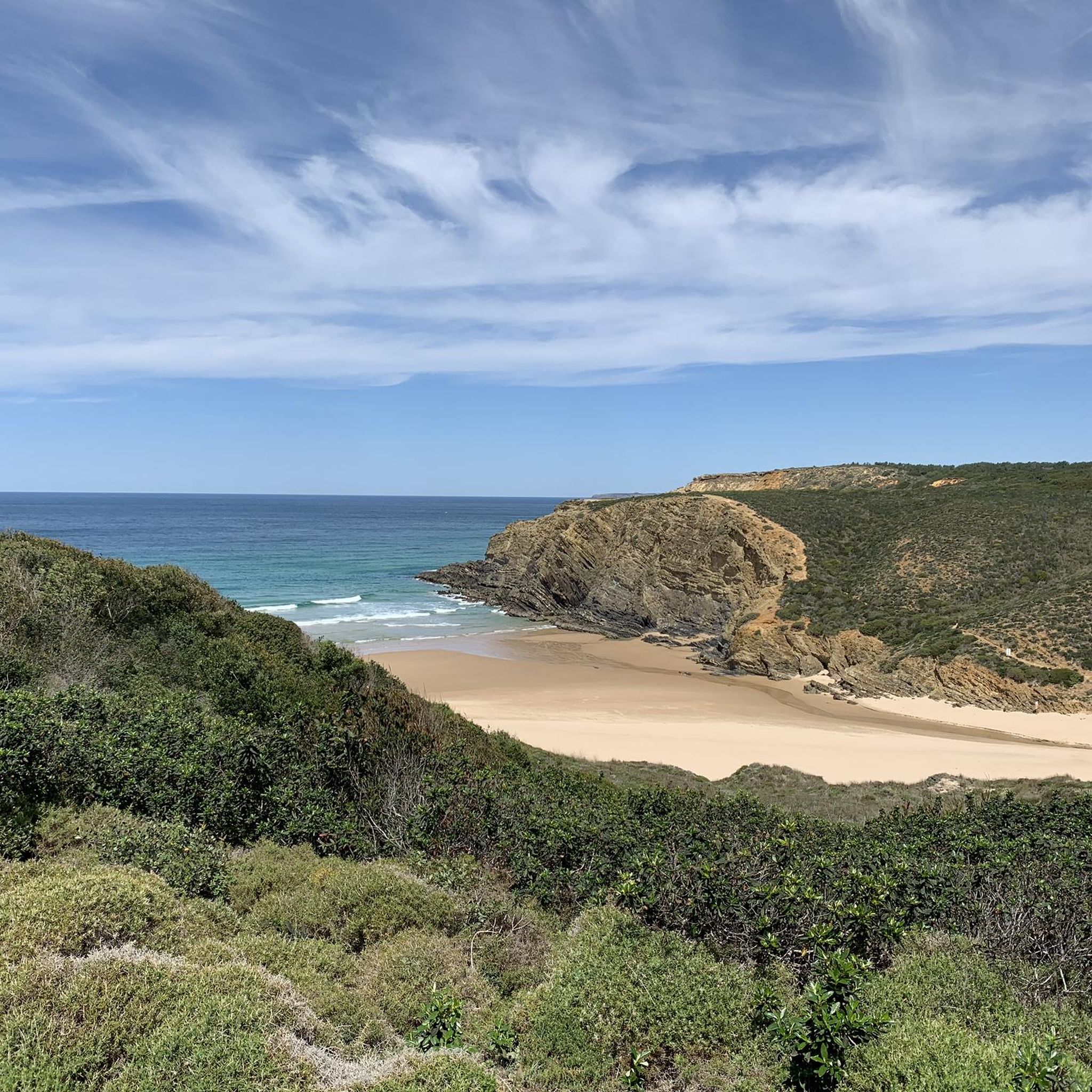
Praia do Almograve is a magnificent and wild Atlantic beach in Portugal, located in Alentejo within the Costa Vicentina Natural Park, between Vila Nova de Milfontes and Zambujeira do Mar. It offers fine sand, high reddish and black cliffs, and natural pools at low tide.
0
0
The Santa Clara Dam (Barragem de Santa Clara) is located in Portugal, in the Alentejo region (near Santa Clara-a-Velha), and is surrounded by hills and scenic dirt trails ideal for hiking and mountain biking.
0
0
Odemira is a Portuguese municipality of about 26,000 inhabitants located in the district of Beja, in the Alentejo region. With its 1,719 km² area, it is the largest municipality in all of Portugal. [1, 2] The main town stands on a hill overlooking the Mira River, characterized by typical white houses with red tiled roofs and narrow cobbled streets. The surrounding territory is extraordinarily varied and extends from the rural and hilly hinterland to the spectacular cliffs of the Atlantic coast.
0
0
L'Alentejo, in southern Portugal, offers beautiful trails and fast gravel roads (estradões) ideal for gravel biking, nestled among hills, cork oak forests, and historic villages. Among the best-known events and routes are the UCI Gravel World Series stage in Ourique, and the Rota Vicentina bikepacking route that connects the hinterland to the coast.
0
0
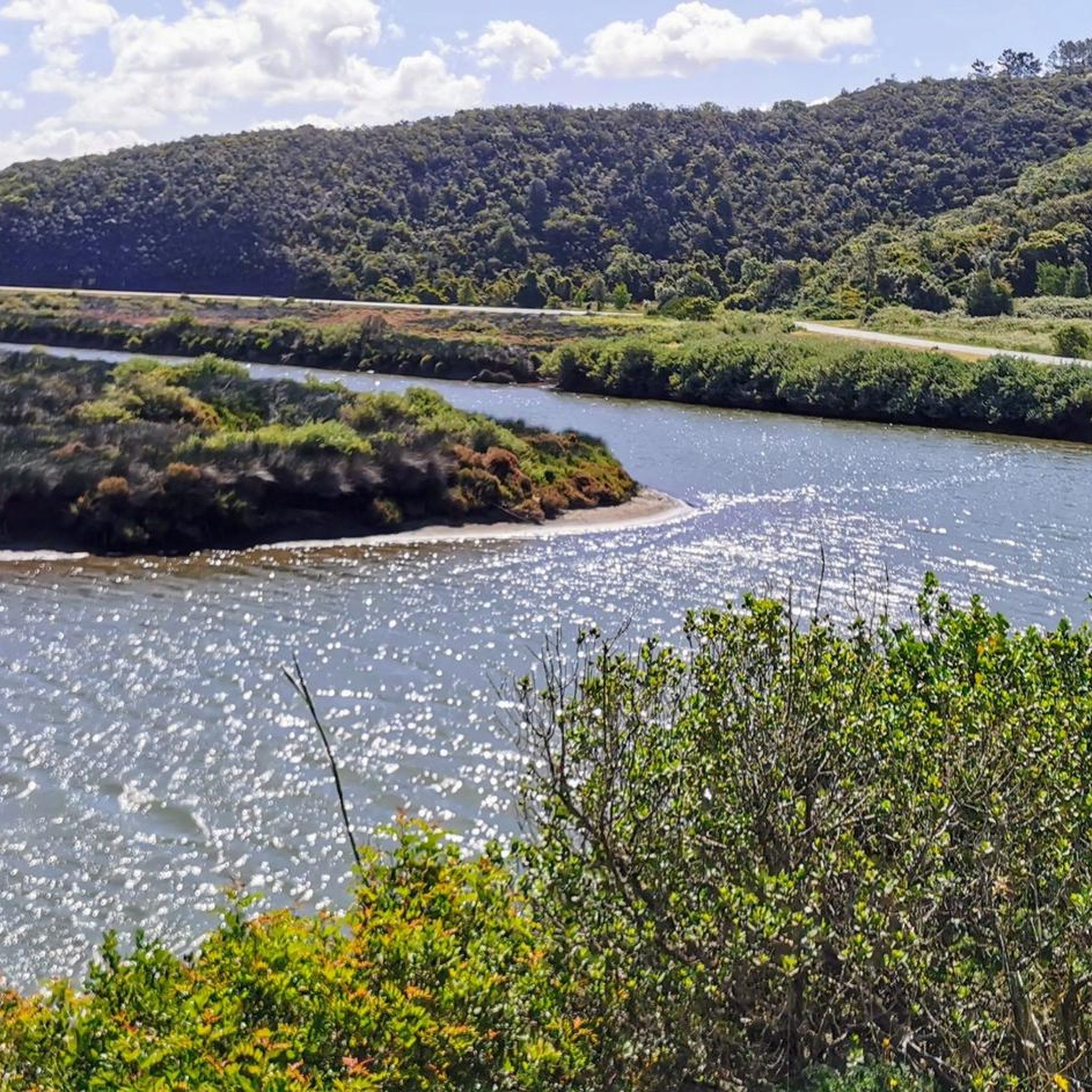
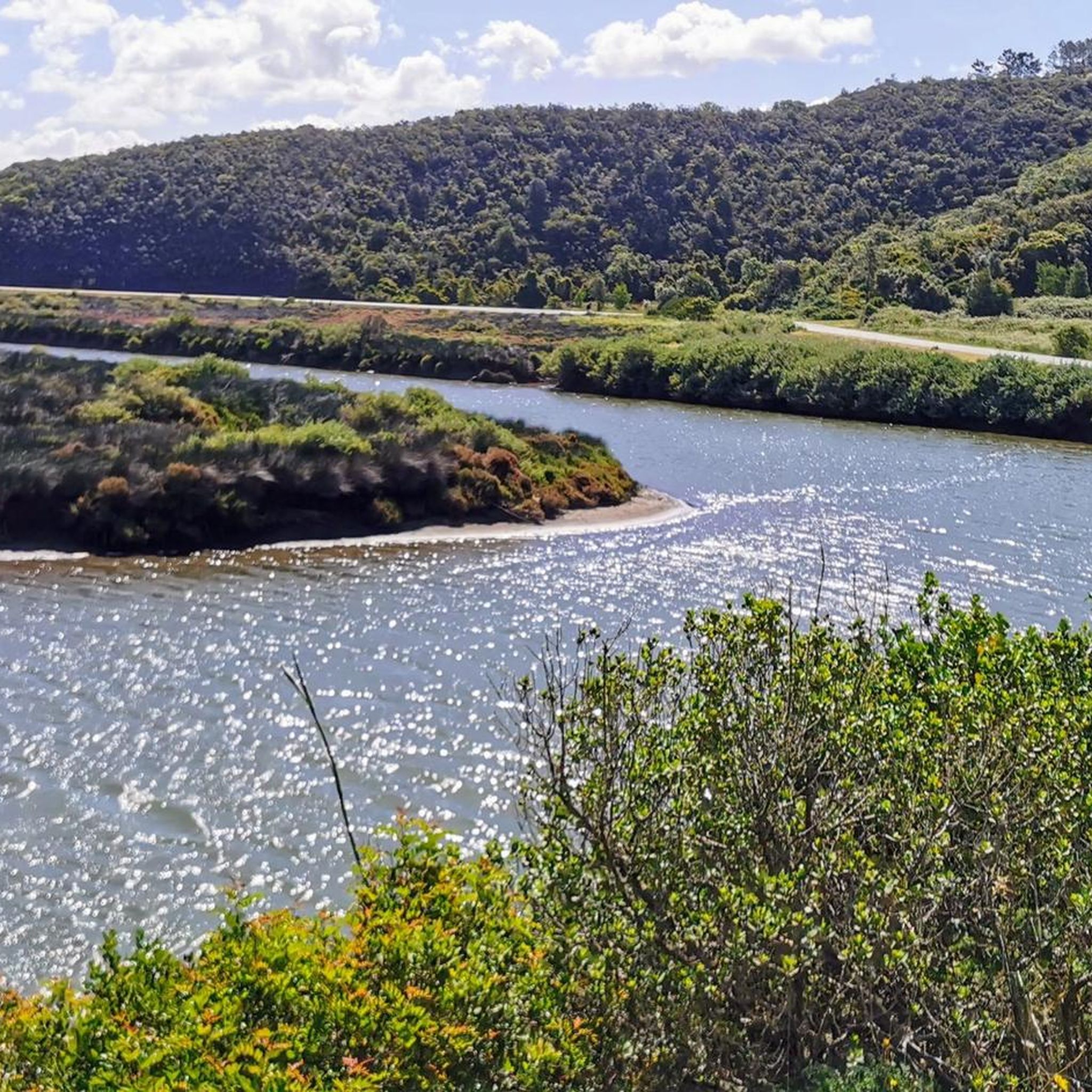
The Rio Mira is a 145 km long Portuguese river. It has the rare peculiarity of flowing entirely from south to north. It originates in the hills of the Serra do Caldeirão at about 470 meters above sea level. It flows into the Atlantic Ocean with a wide estuary near the renowned tourist resort of Vila Nova de Milfontes. A significant part of its basin is protected and is part of the Southwest Alentejo and Vicentine Coast Natural Park.
0
0

This is the shortest route down from the river to the campsite's high ground. With luggage it's a pushing section, it's a partially washed-out gravel road.
0
0
Frequently Asked Questions
What types of terrain can I expect on gravel bike trails around São Teotónio?
Gravel biking in São Teotónio offers a diverse mix of terrain. You'll encounter quiet national and municipal roads, paved paths, and wide dirt roads. Routes traverse wild Atlantic coastlines, serene pine forests, remote beaches, and rugged backroads, blending the Alentejo countryside with the Costa Vicentina's unique landscapes.
Are there any long-distance gravel routes in the São Teotónio area?
Yes, a significant option for gravel bikers is the dedicated Rota Vicentina Gravel & Bikepacking route. This route spans over 226 km between Santiago do Cacém and Cabo de S. Vicente, offering an authentic 'off the beaten path' experience with minimal traffic.
What is the best time of year for gravel biking in São Teotónio?
The optimal weather conditions for cycling in São Teotónio are typically from May to November. During these months, the region experiences a mild Mediterranean climate with pleasant temperatures and minimal rain, making it ideal for exploring the trails.
Are there any facilities or support services for cyclists in São Teotónio?
Yes, the area is increasingly bike-friendly. The Centro Cyclin'Portugal in Odemira, a key hub for the region's cycling network, provides amenities such as self-service workshops, free bike washing facilities, free showers, and options for bike and GPS rental.
What kind of views and natural attractions can I see along the gravel routes?
The routes offer stunning natural beauty. You can expect gorgeous views over coastal cliffs, unique cliff formations, and golden-sand beaches like Zambujeira do Mar and Odeceixe Mar Beach. Inland, you'll pass through tranquil Alentejo countryside with pine forests, olive groves, and vineyards. For expansive panoramic views, consider routes that offer glimpses of Foia Summit, the highest point in the Algarve.
Are there any family-friendly gravel biking options in São Teotónio?
While many routes offer varied difficulty, the region's extensive network includes options suitable for different ability levels. For a moderate ride that's not too long, consider the Mira Norte – Parque Natural da Costa Vicentina, which is 16.7 km and leads through the Natural Park.
Can I find circular gravel bike routes in São Teotónio?
Yes, the Centro Cyclin'Portugal de Odemira boasts over 1000 km of circular routes, with approximately 340 km specifically marked. An example of a circular route is the Amoreira Beach – Casas do Moinho Street loop from Odeceixe, offering a moderate 45.1 km ride.
What are some cultural or historical points of interest near the gravel trails?
You can explore charming neighboring towns and traditional Portuguese villages. Odeceixe, with its narrow, winding streets, whitewashed houses, and the iconic Odeceixe Windmill and Village, provides a glimpse into local life. São Teotónio itself features historical sites like the Main Church and traditional fountains such as 'Fonte dos Amores'.
Are there any routes that feature lakes or artificial reservoirs?
Yes, for a route featuring extensive riding around an artificial lake, consider the Loop tour of the artificial lake from Santa Clara-Sabóia. This challenging 87.1 km path offers significant elevation gain and unique scenery.
What do other gravel bikers say about the trails in São Teotónio?
The gravel biking routes in São Teotónio are highly rated by the komoot community, with an average score of 5.0 stars. Reviewers often praise the varied terrain, from Atlantic coastlines to Alentejo countryside backroads, and the options available for different ability levels.
Are there any routes that take me through the Costa Vicentina Natural Park?
Absolutely. Many routes traverse this protected area. For instance, the Milfontes – Costa Vicentina Natural Park trail is a challenging 108.3 km ride that specifically traverses the coastal landscapes of the Natural Park.
Can I find places to eat fresh seafood after a ride?
Yes, the active fishing harbors of Azenha do Mar and Entrada da Barca are renowned for their fresh fish and seafood. These make excellent culinary stops after a day of gravel biking.
Most popular routes around São Teotónio
Most popular attractions around São Teotónio

Get inspired with the komoot mobile app


Explore more
Browse the best Gravel rides in other regions.
