The best gravel rides around Bonner-West Riverside
5.0
(1)
105
riders
10
rides
Gravel biking around Bonner-West Riverside offers routes through diverse landscapes characterized by towering mountains and pristine forests. The region is defined by significant waterways, including the Blackfoot River and the Clark Fork River, which often feature in the trail systems. Cyclists can experience varied terrain, from relatively flat sections along riverbanks to more challenging inclines within the Lolo National Forest. This area provides a compelling destination for outdoor enthusiasts seeking gravel cycling opportunities across different skill levels.
Best gravel bike…
Last updated: October 1, 2026
13
riders
27.8km
02:26
470m
470m
Hard gravel ride. Very good fitness required. Mostly paved surfaces. Suitable for all skill levels.
20
riders
Moderate gravel ride. Good fitness required. Mostly paved surfaces. Suitable for all skill levels.

20
riders
30.3km
01:59
340m
340m
Moderate gravel ride. Good fitness required. Mostly paved surfaces. Suitable for all skill levels.
17
riders
42.3km
03:03
650m
650m
Hard gravel ride. Very good fitness required. Mostly paved surfaces. Suitable for all skill levels.
5.0
(1)
9
riders
81.4km
06:04
1,380m
1,380m
Hard gravel ride. Very good fitness required. Mostly paved surfaces. Suitable for all skill levels.
Get access to more routes and recommendations from other explorers.
Already have an account?
Our route recommendations are based on thousands of hikes, rides, and runs completed by other people on komoot.
Start today with a free account
Your next adventure awaits.



Tips from the Community

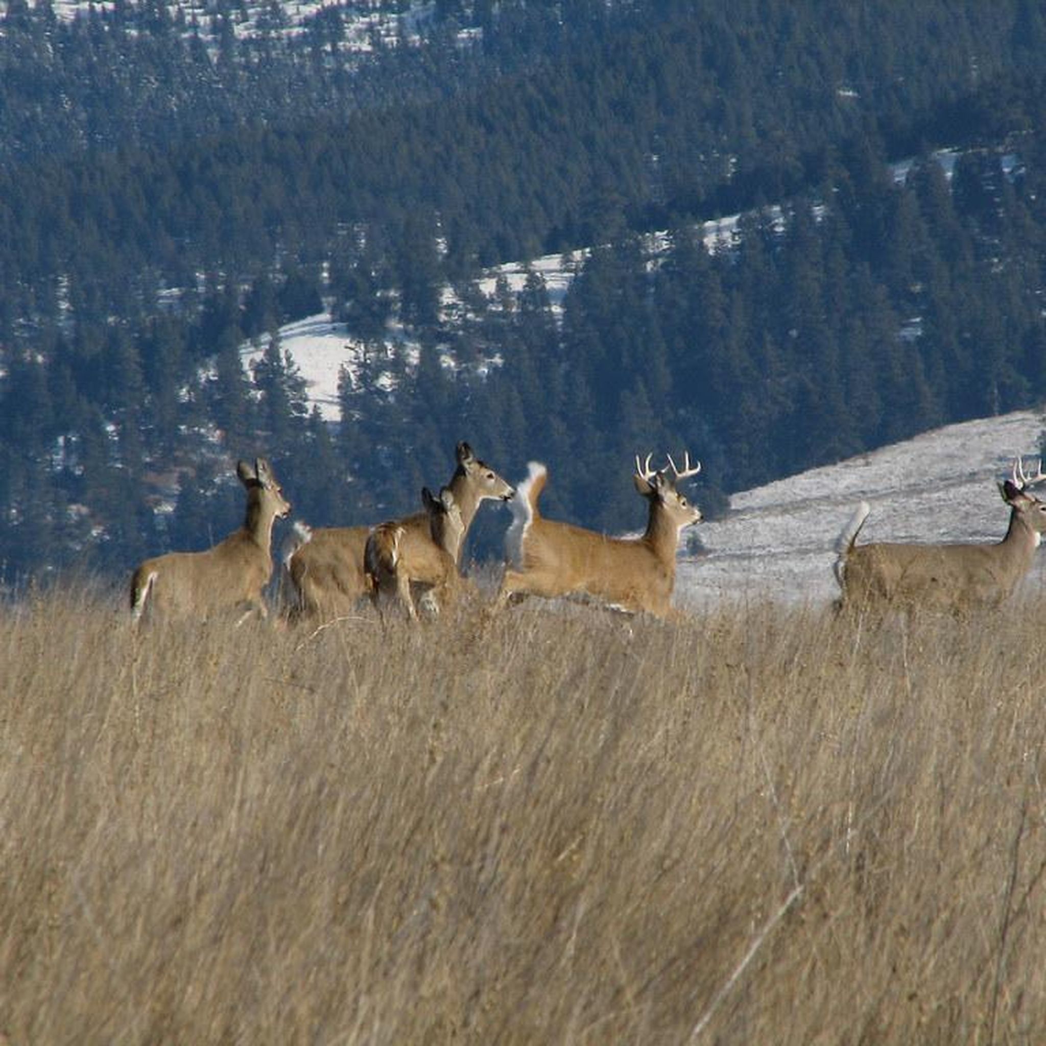
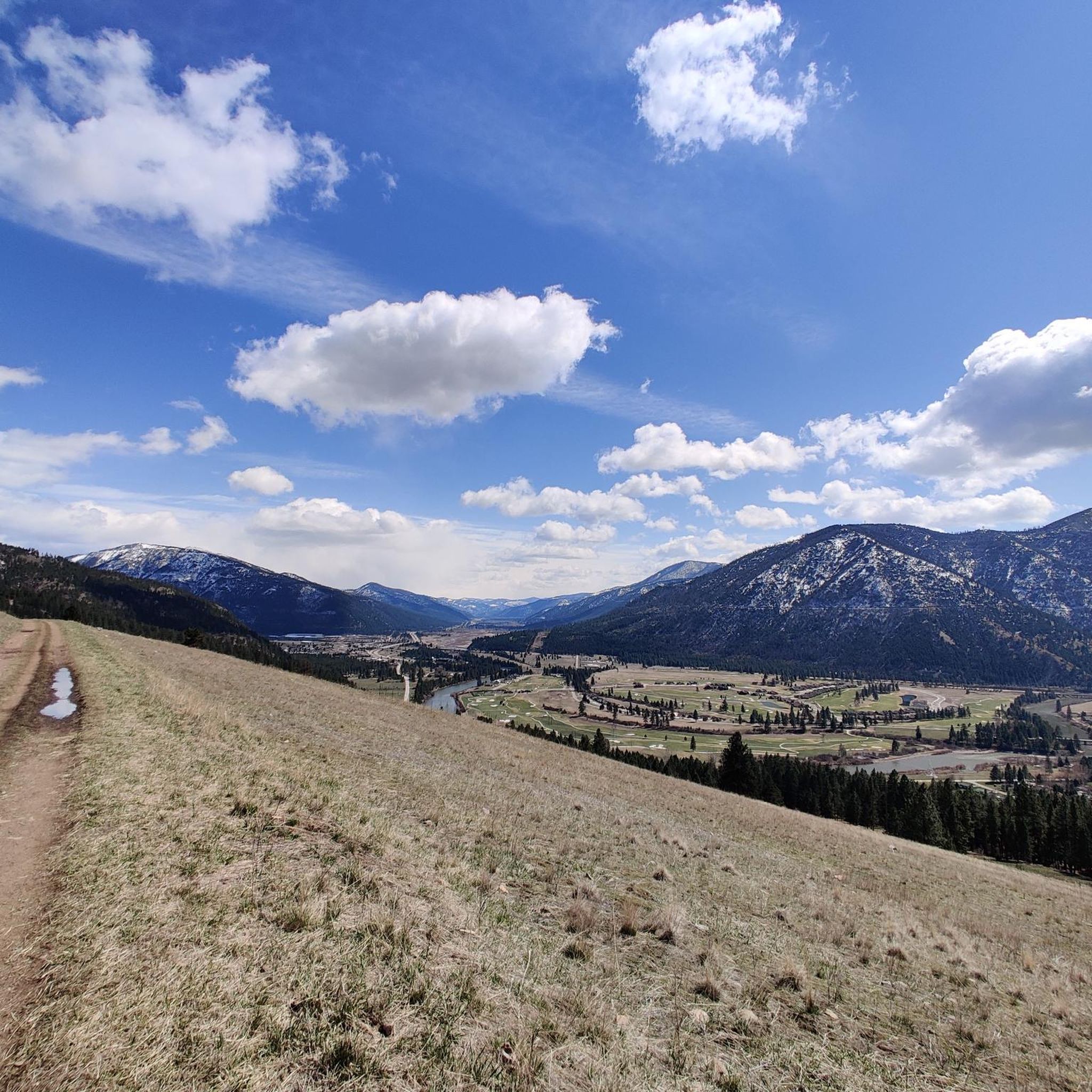
There is a great view here of Woody Mountain and the Mount Jumbo Wildlife Management Area. This double-track road is pretty smooth and most bikes can handle the terrain pretty easily.
0
0

The Beartracks Bridge is a four-lane bridge over the Clark Fork River in downtown Missoula. It was constructed in 1962 and recently renovated to improve pedestrian safety. The bridge now has dedicated bike lanes and widened sidewalks.
0
0

Jacob's Island is a dog park on the banks of Clark Fork River. The park is 6-acres and the river works as a beautiful natural barrier for the dogs. It also offers a series of paved and unpaved trails, benches, picnic tables and dog-waste bags.
0
0
Jacob's Island is a dog park on the banks of Clark Fork River. The park is 6 acres and the river works as a beautiful natural barrier for the dogs. It also offers a series of paved and unpaved trails, benches, picnic tables and dog-waste bags.
0
0

Nestled in the northern Rockies, the city is known as the "Garden City" for its lush surroundings as well as trout fishing. The city is home to the University of Montana, founded in 1893.
0
0
The Kim Williams Trail is a super popular trail in Missoula. It follows along the river the majority of the way, but it is often times tucked in the trees without a lot of views. The section of trail furthest west is a really smooth paved and dirt path. As you get further east, the trail narrows and becomes bumpier. Some choose to ride a bike with more suspension for this rougher section, but most touring bikes can handle the trail just fine from start to finish.
0
0
McCormic Park marks the western terminus of the Kim Williams Trail and the eastern terminus of the Milwaukee Trail. The park has some playing fields, open space, picnic areas, and is nestled up right next to the river.
0
0
Deer Creek Sneak is labeled as a "Green" mountain biking trail, but it is popular for gravel bikes and bike touring as well. The trail climbs steadily from Deer Creek Road to the intersection with the Pattee Canyon mountain biking trail system. This can be a fun, fast downhill trail to ride.
0
0
Frequently Asked Questions
How many gravel bike trails are available in Bonner-West Riverside?
Bonner-West Riverside offers a selection of 9 gravel bike trails, catering to various skill levels and preferences. These routes allow you to explore the region's diverse landscapes, from riverbanks to forested areas.
What kind of terrain can I expect on gravel bike trails in Bonner-West Riverside?
The terrain around Bonner-West Riverside is quite varied. You'll encounter towering mountains and pristine forests, with many trails following significant waterways like the Blackfoot River and Clark Fork River. Expect a mix of relatively flat sections along riverbanks and more challenging inclines within areas like the Lolo National Forest.
What are the typical durations for gravel bike rides in this area?
Gravel bike rides in Bonner-West Riverside can range from shorter, moderate loops taking around 2 hours, to more challenging, longer routes that can extend up to 5 hours or more. For example, the Kim Williams Trail – Jacob's Island loop typically takes about 1 hour 45 minutes, while the Deer Creek Sneak Trail – Kim Williams Trail loop can take nearly 6 hours.
What is the best time of year for gravel biking in Bonner-West Riverside?
The best seasons for gravel biking in Bonner-West Riverside are generally spring, summer, and fall. These months offer pleasant weather conditions for exploring the trails. While some routes might be accessible in winter, conditions can vary significantly with snow and ice, so it's advisable to check local forecasts and trail conditions before heading out.
Are there gravel bike trails suitable for beginners in Bonner-West Riverside?
Yes, there are moderate gravel bike trails suitable for those newer to the sport or looking for a less strenuous ride. The Kim Williams Trail – Jacob's Island loop from Hellgate High School is a great option, offering a mix of paved and gravel surfaces over 17.0 miles with a moderate elevation gain.
Are there challenging gravel bike routes for experienced riders?
Absolutely. For experienced riders seeking a challenge, Bonner-West Riverside offers several difficult routes. The Kim Williams Trail – Deer Creek Sneak Trail loop from Hellgate High School is a difficult 21.0-mile trail with over 2,000 feet of elevation gain. Another demanding option is the Deer Creek Sneak Trail – Kim Williams Trail loop, which covers 50.6 miles with significant elevation.
Are there any scenic gravel bike trails that follow rivers?
Many gravel bike trails in Bonner-West Riverside offer scenic views along the region's prominent rivers. The Clark Fork River – Rattlesnake Trail loop from Hellgate High School is a great example, providing beautiful riverside stretches. You'll often find routes that parallel the Blackfoot River and Clark Fork River, showcasing the natural beauty of the area.
Can I find loop gravel bike trails in Bonner-West Riverside?
Yes, many of the gravel bike trails in Bonner-West Riverside are designed as loops, allowing you to start and end at the same point. Examples include the Kim Williams Trail – McCormick Park loop and the Clark Fork River – Rattlesnake Trail loop, both starting from Hellgate High School.
What can I see along the gravel bike trails in Bonner-West Riverside?
Along the gravel bike trails, you'll experience the natural beauty of the region, including towering mountains, pristine forests, and the significant Blackfoot and Clark Fork Rivers. Specific points of interest you might encounter or be near include the Kim Williams Trail itself, the Deer Creek Sneak Trail, and McCormick Park. The Lolo National Forest also offers numerous trails and scenic views.
Are there any family-friendly gravel biking options in the area?
While specific 'family-friendly' designations aren't always explicit, routes with moderate difficulty and less elevation gain are generally suitable for families. The Kim Williams Trail – Jacob's Island loop, with its moderate rating and mixed paved/gravel surfaces, could be a good option for families looking for a pleasant ride.
What do other gravel bikers enjoy the most about gravel biking in Bonner-West Riverside?
The gravel biking experience in Bonner-West Riverside is highly rated by the komoot community, with an average score of 5.0 stars. Riders often praise the diverse terrain, the stunning natural beauty of the rivers and forests, and the variety of routes available for different skill levels.
Most popular attractions around Bonner-West Riverside

Get inspired with the komoot mobile app


Explore more
Browse the best Gravel rides in other regions.
