The best gravel rides around West St. Paul
4.0
(1)
16
riders
1
ride
Gravel biking around West St. Paul, Minnesota, offers a diverse landscape with an extensive network of trails. The region features a mix of paved and unpaved sections, connecting various parks and natural areas. Riders can explore riverfront paths, wooded trails, and areas with mixed surfaces, including wood chip trails. The terrain includes gentle gradients and some moderate climbs, providing varied experiences for cyclists.
Best gravel bike trails around West St. Paul
- The most popular gravel bike trail is Minnehaha Falls…
Last updated: May 22, 2026
4.0
(1)
11
riders
65.7km
04:42
290m
290m
Moderate gravel ride. Good fitness required. Mostly paved surfaces. Suitable for all skill levels.
4
riders
57.1km
04:00
280m
280m
Moderate gravel ride. Good fitness required. Mostly paved surfaces. Suitable for all skill levels.

Sign up for free
1
riders
58.0km
04:04
290m
290m
Moderate gravel ride. Good fitness required. Mostly paved surfaces. Suitable for all skill levels.
68.3km
04:51
310m
310m
Moderate gravel ride. Good fitness required. Mostly paved surfaces. Suitable for all skill levels.
Our route recommendations are based on thousands of hikes, rides, and runs completed by other people on komoot.
Start today with a free account
Your next adventure awaits.
Login or Signup

Tips from the Community

The "Ferry" looks upgraded, as does the new bridge across fallen trees. Both options were not what I needed at my turn around point today, but I finally made it here from the West today! Woohoo!
1
0
They have also added a "bridge" made out of a fallen tree with planks nailed to it and a rope "hand-rail". Looks challenging, but I think the water is too low to get the ferry across right now.
2
0
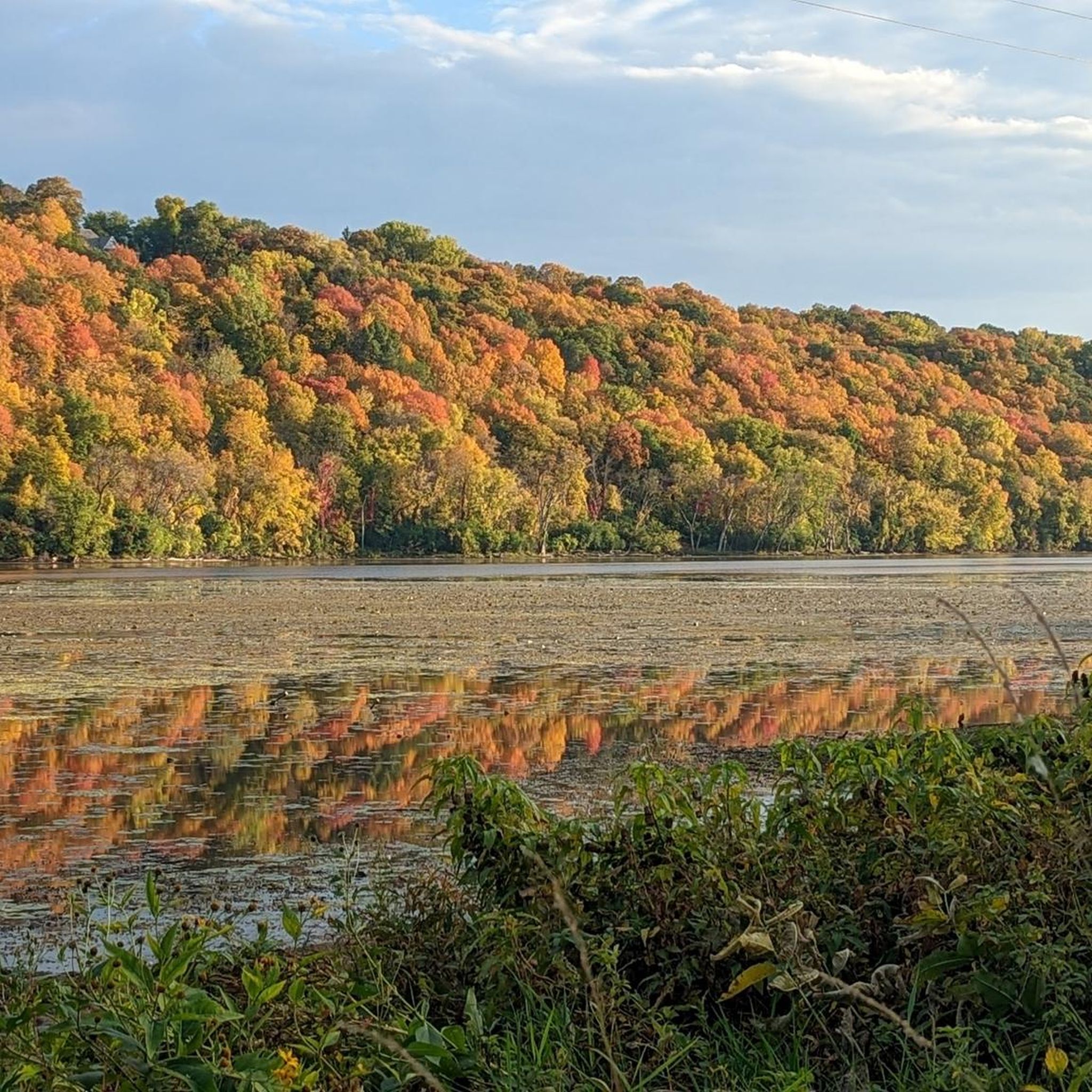
Nice view over Black Dog Lake, not many birds out today
0
0
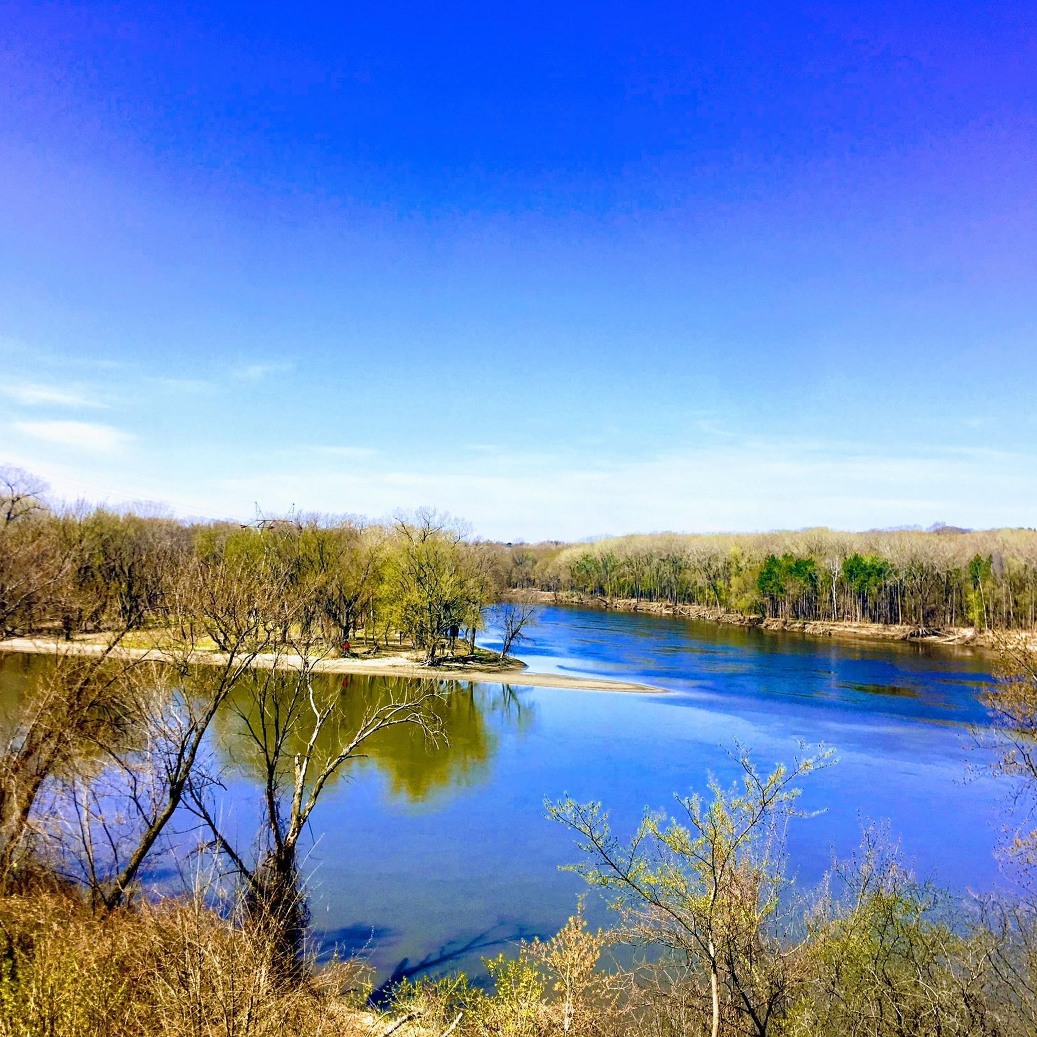
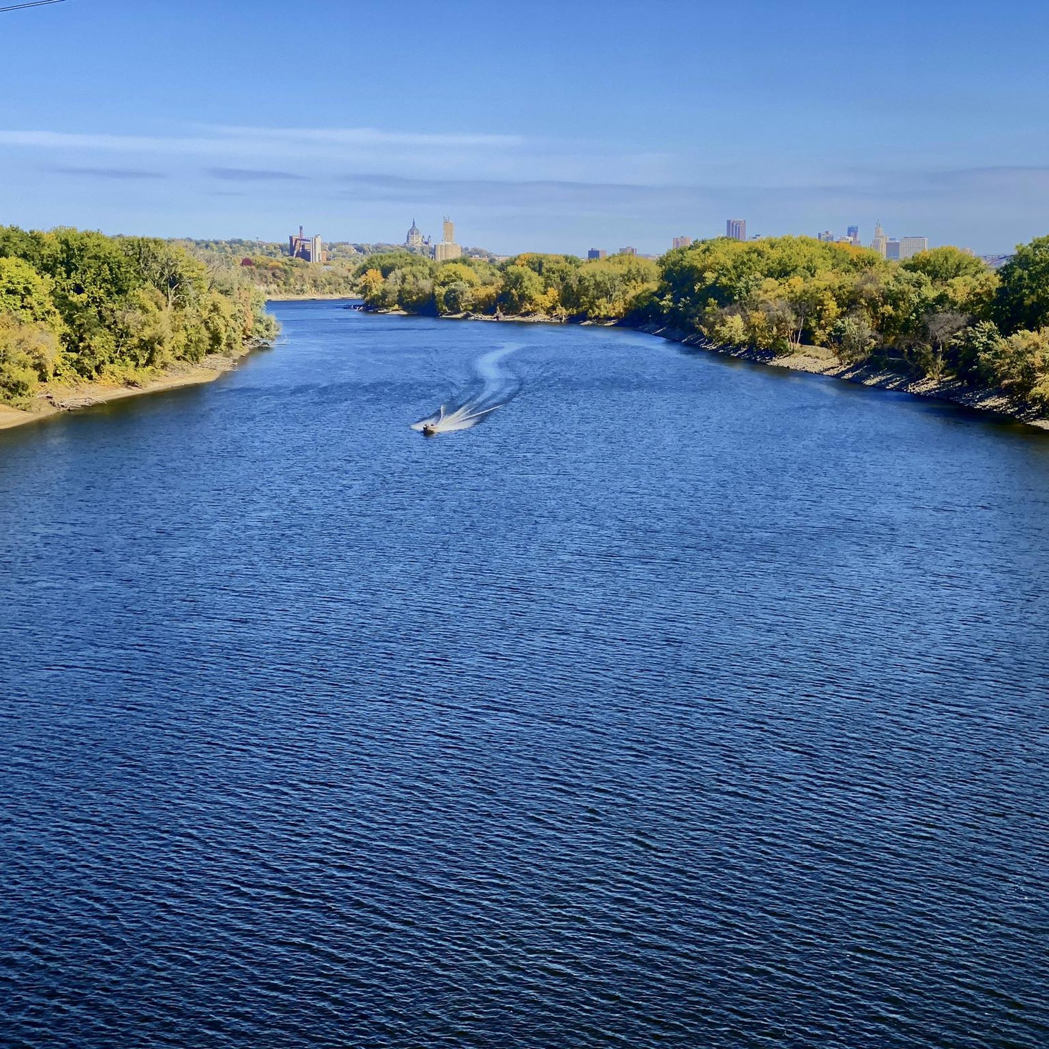
Nice river views from the bike path.
0
0
I didn't get up on the High Bridge, but even from the trail along the river, very nice views.
0
0

There is a bicycle and pedestrian path over the Mississippi River on Interstate 35 East.
0
0
Here is a link to a Minnesota Department of Natural Resources map of summer trails at Fort Snelling State Park (https://files.dnr.state.mn.us/maps/state_parks/spk00154_summer.pdf). Although bicycles are allowed on many of the park trials, the legend on the map shows, sadly, that the circumferential trail on Pike Island is for hiking only.
0
0
Frequently Asked Questions
What kind of terrain can I expect on gravel bike trails around West St. Paul?
Gravel biking around West St. Paul offers a diverse mix of surfaces. You'll find dedicated gravel paths, as well as parks with unpaved sections, including wood chip trails. The region's trails often feature river bluffs and parklands, with terrain ranging from gentle gradients to moderate climbs. This variety provides different experiences for cyclists.
Are there easy gravel routes suitable for beginners in West St. Paul?
Yes, West St. Paul and its surrounding areas offer easy gravel rides suitable for all skill levels. For example, the Hidden Falls Creek – Fort Snelling Scenic Overlook loop from 46th Street is an easy 12.3-mile (19.9 km) path that provides scenic overlooks and follows creek paths, perfect for those new to gravel biking.
What natural features or landmarks can I see along the gravel bike trails?
The trails around West St. Paul offer access to several scenic natural features and landmarks. You can experience the beauty of the Minnehaha Falls, explore the significant Confluence of the Mississippi and Minnesota Rivers, or enjoy views from Summit Overlook Park. Many routes also pass through varied park landscapes like Garlough and Marthaler Parks, offering tranquil wooded paths and views of Thompson Lake.
Are there any challenging gravel routes for experienced riders?
While many routes are moderate, some options require good fitness and may involve sustained climbs. The Minnehaha Falls – Fort Snelling loop from Fairview Avenue is a moderate 40.8-mile (65.7 km) trail with varied terrain, offering a more demanding experience. Similarly, the Minnehaha Falls – Fort Snelling loop from 46th Street is another moderate option at 35.5 miles (57.1 km) with notable elevation changes.
What do other gravel bikers enjoy most about gravel biking in West St. Paul?
The gravel biking routes in West St. Paul are highly rated by the komoot community, with an average score of 4.5 stars. Reviewers often praise the diverse terrain, the scenic river bluffs, and the well-connected parklands that offer a varied and engaging riding experience.
Are there any loop gravel bike trails in the area?
Yes, many of the gravel routes around West St. Paul are designed as loops, allowing you to start and end at the same point. Examples include the Minnehaha Falls – Fort Snelling loop from Fairview Avenue and the Big Rivers Regional Trail – Minnehaha Trail loop from Macalester College, which takes you through river bluffs and parklands.
Can I bring my dog on the gravel bike trails?
While specific trail regulations vary, many regional parks and trails in West St. Paul allow dogs on leashes. It's always best to check the specific rules for each park or trail section you plan to visit. For example, the Dodge Nature Center, while not allowing bikes on all its trails, is a great natural area adjacent to the city that connects via the River-to-River Greenway.
What is the best time of year for gravel biking in West St. Paul?
The best time for gravel biking in West St. Paul is typically from spring through fall, when the weather is mild and the trails are clear of snow and ice. Summer offers lush greenery, while fall provides beautiful foliage. Always check local weather and trail conditions before heading out, especially after heavy rain, as some unpaved sections might be muddy.
Are there specific gravel sections on major trails like the River-to-River Greenway or Big Rivers Regional Trail?
Yes, while parts of these major trail systems are paved, they also incorporate significant unpaved or gravel sections. The River-to-River Greenway connects various parks like Garlough and Marthaler, which feature mixed surfaces. The Big Rivers Regional Trail is also known to have gravel sections, offering varied terrain for gravel bikers.
Where can I find parking for gravel bike trails in West St. Paul?
Many parks and trailheads in West St. Paul offer designated parking areas. For instance, parks like Thompson County Park, Garlough Park, and Marthaler Park provide access to trails and typically have parking facilities. For routes that connect to broader regional networks, such as the Big Rivers Regional Trail, you can often find parking at various access points along its length.
Is public transport available to access gravel bike trails in West St. Paul?
West St. Paul has a focus on pedestrian and bicycle-friendly infrastructure, and the wider Twin Cities area has public transport options. While direct access to every trailhead via public transport might vary, many routes are accessible from areas served by local bus routes. It's advisable to check the local transit authority's website for specific routes and bike-on-bus policies.
Are there any cafes or pubs near the gravel bike trails for a break?
West St. Paul and the surrounding St. Paul region offer various cafes, pubs, and restaurants. Many routes pass through or near urban areas where you can find establishments to refuel or relax. While specific trailside cafes might be limited, you'll find options in the city centers and neighborhoods adjacent to the trail networks.
Most popular attractions around West St. Paul

Get inspired with the komoot mobile app


Explore more
Browse the best Gravel rides in other regions.
