The best gravel rides around Maplewood
4.0
(1)
20
riders
3
rides
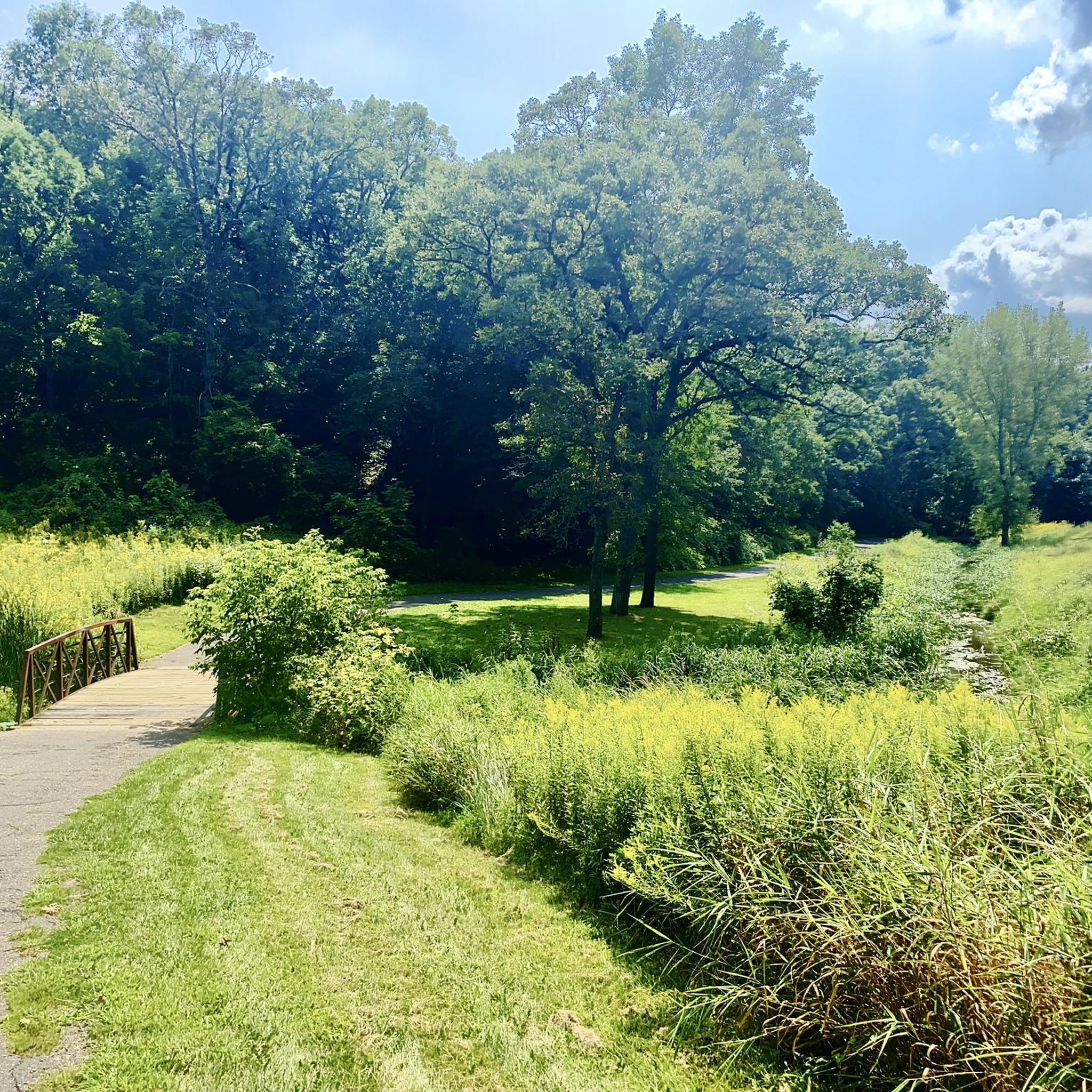
Gravel biking around Maplewood offers a diverse landscape characterized by oak savannas, wetlands, and woodlands. The region features a network of trails, many built on former rail beds, providing gentle grades. These routes often have crushed limestone surfaces, which are smooth and solid. The terrain includes remnants of historical ecology, with scattered oaks and prairie grasses.
Best gravel bike trails around Maplewood
- The most popular gravel bike trail is Minnehaha Falls – Fort Snelling loop from Fairview Avenue, a…
Last updated: May 22, 2026
4.0
(1)
11
riders
65.7km
04:42
290m
290m
Moderate gravel ride. Good fitness required. Mostly paved surfaces. Suitable for all skill levels.
7
riders
65.2km
03:26
360m
360m
Moderate gravel ride. Good fitness required. Mostly paved surfaces. Suitable for all skill levels.

Sign up for free
2
riders
Easy gravel ride. Great for any fitness level. Mostly paved surfaces. Suitable for all skill levels.
Our route recommendations are based on thousands of hikes, rides, and runs completed by other people on komoot.
Start today with a free account
Your next adventure awaits.
Login or Signup
Tips from the Community


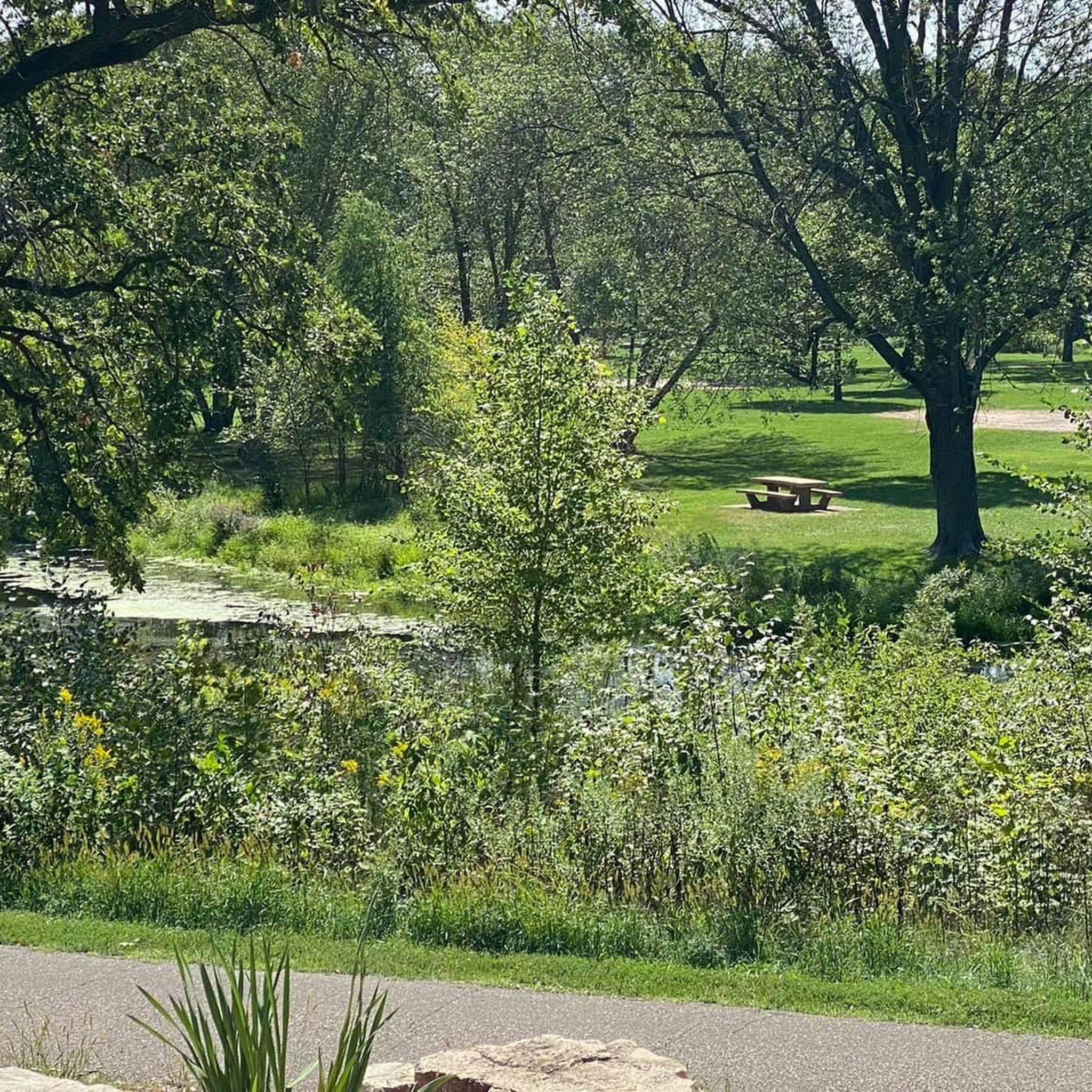
Found between HWY 96 and Lansing Ave along the Gateway Trail, the Gateway Trailside serves a variety of food and drinks in a tranquil setting. It is a great place for a break while out riding the trail.
0
0

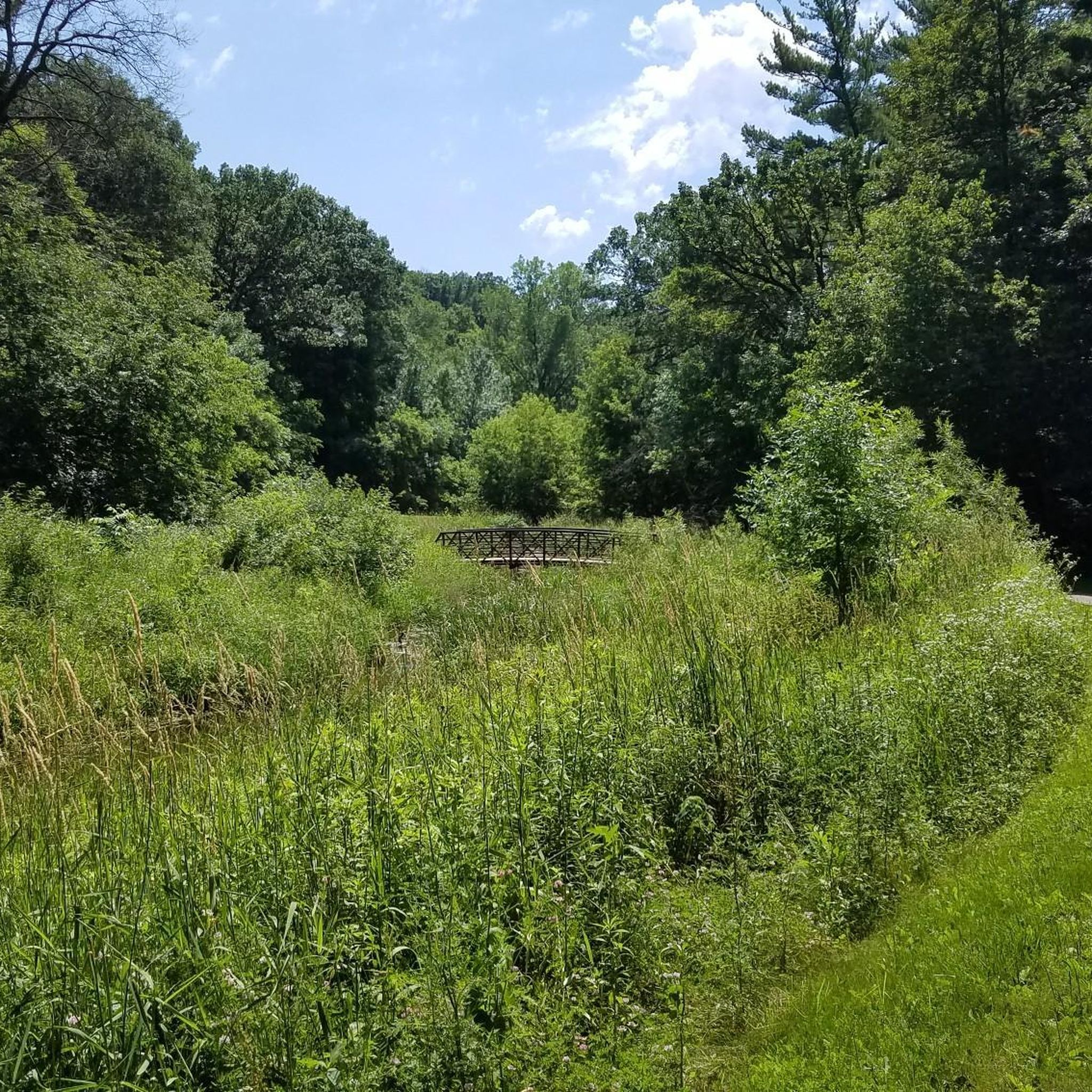
One of the bridges that connects St. Paul and Minneapolis that has a great view above the trees along the river.
1
0

When waters run high, this 53-foot-tall waterfall turns into a thundering cataract. There are picnic tables up top, and a trail that takes you down to nice views of the falls from below. It's well worth parking your bike to spend some time here.
1
0

Fort Snelling, a National Historic Landmark located on the Dakota homeland known as Bdote, has a rich history over the last 10,000 years. Visitors can explore stories of the military fort and its surroundings, learn of the history of Native peoples, trade, soldiers, veterans, enslaved individuals, immigrants, and the evolving landscape. Admission fees vary with age, but MNHS members, Native Americans, and veterans are given free entry. Hours and days of operation vary by season.
0
0

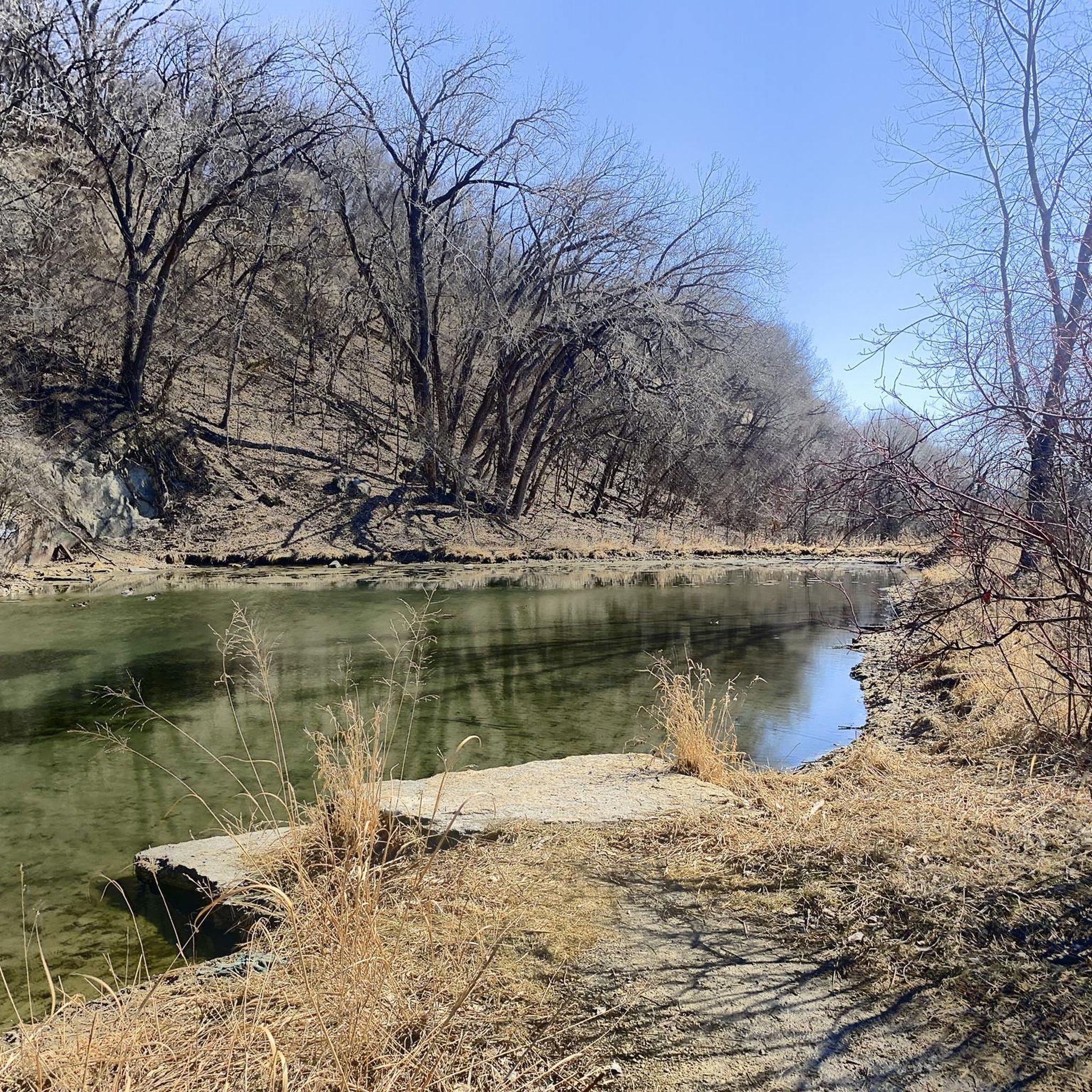
From this spot on the wide, gravel trail, you get great views of the Minnesota River. Also known as Mnísota Wakpá in Dakota, Minnesota River is a 332-mile-long tributary of the Mississippi River in Minnesota. The river's name, derived from the Dakota phrase "Mnisota Makoce," means "land where the waters reflect the sky." Before its official naming in 1852, it was commonly known as the St. Peter River.
0
0

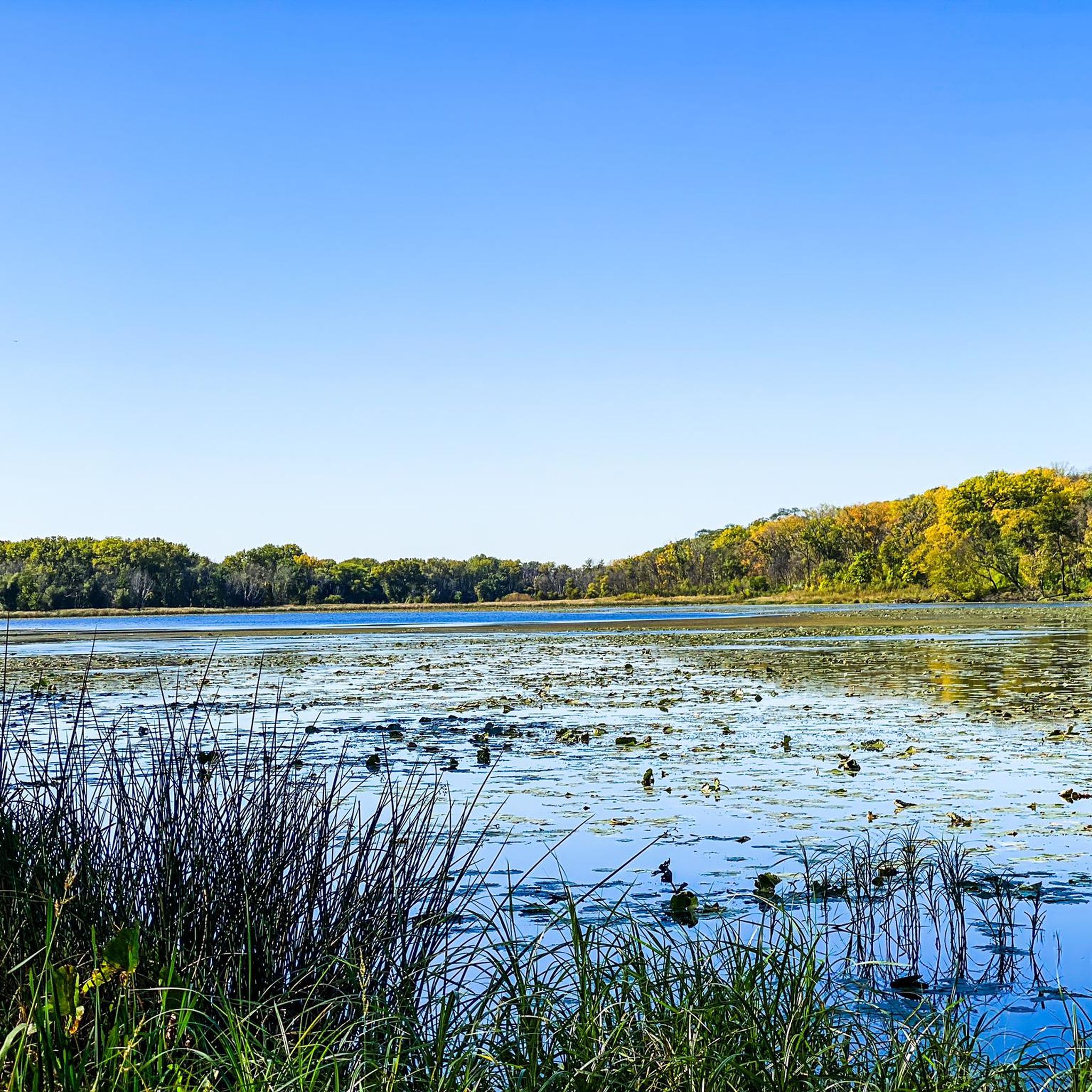
Eagle Point Lake is one of a few bodies of water within Lake Elmo Park. It has trails all around it and gets its name from the fact that so many eagles call its shores home.
0
0

From this vantage point you'll have excellent views of Fort Snelling sitting across the river. Also, the confluence of the Minnesota & Mississippi Rivers is laid out just downstream from Fort Snelling.
0
0
Frequently Asked Questions
What kind of terrain can I expect on gravel bike trails around Maplewood?
Maplewood's gravel bike trails feature diverse landscapes, including oak savannas, wetlands, and woodlands. Many trails are built on former rail beds, offering gentle grades and smooth, solid crushed limestone surfaces. You'll find remnants of historical ecology with scattered oaks and prairie grasses, providing a varied and picturesque riding experience.
Are there any easy gravel bike routes suitable for beginners or families?
Yes, for an easier experience, consider the Margaret Lake – Lake Elmo Park Bike Path loop from Oakdale. This 13.2 km trail is largely paved and suitable for all fitness levels, leading through varied parkland. It's a great option for families or those looking for a less strenuous ride.
What are some notable natural features or landmarks I might see while gravel biking in Maplewood?
Maplewood's trails often pass through areas rich in natural beauty. You can explore remnants of oak savannas and woodlands, and numerous wetlands and ponds carved by glaciers. Specific highlights nearby include Lake Phalen, Como Lake, and Battle Creek Regional Park. The Maplewood Nature Center also offers trails and serves as a wildlife sanctuary.
Are there any long-distance gravel routes in the Maplewood area?
Yes, for longer rides, the Minnehaha Falls – Fort Snelling loop from Fairview Avenue is a moderate 65.7 km trail with a mix of gravel and paved sections. Another excellent option is the Gateway State Trail – Gateway State Trail loop from Pine Springs, which is 65.2 km and utilizes the well-known Gateway State Trail.
What is the best time of year for gravel biking in Maplewood?
The best seasons for gravel biking in Maplewood are typically spring, summer, and fall. These seasons offer pleasant temperatures and showcase the region's diverse landscapes, from blooming wildflowers in spring to vibrant fall foliage. Winter conditions can make some trails challenging due to snow and ice.
Are there any circular gravel bike routes available?
Many of the popular gravel routes in Maplewood are designed as loops. For example, the Big Rivers Regional Trail – Minnehaha Trail loop from Macalester College offers a moderate 33.1 km circular ride. The Margaret Lake – Lake Elmo Park Bike Path loop from Oakdale is another circular option, suitable for easier rides.
What do other gravel bikers say about the trails in Maplewood?
The gravel biking routes around Maplewood are highly rated by the komoot community, with an average score of 4.7 stars from over 3 reviews. Riders often praise the varied terrain, the smooth crushed limestone surfaces, and the scenic beauty of the oak savannas and wetlands.
Are there any specific permits required for gravel biking on state trails in Minnesota?
Many state trails in Minnesota, including those that offer gravel biking opportunities, require a Minnesota State Parks and Trails annual or daily vehicle permit for parking. It's advisable to check the specific requirements for the trail you plan to visit before heading out.
Can I access gravel bike trails in Maplewood using public transport?
While some major trailheads might be accessible via public transport routes in the wider Twin Cities area, direct access to all gravel trails in Maplewood specifically by public transport can be limited. Planning your route in advance and checking local transit schedules is recommended.
Are there any dog-friendly gravel bike trails in Maplewood?
Many regional and state trails in Minnesota allow dogs on leashes, making them suitable for dog-friendly gravel biking. However, specific natural areas like the Maplewood Nature Center do not permit pets to protect wildlife. Always check the regulations for individual trails or parks before bringing your dog.
Where can I find parking for gravel biking trails in Maplewood?
Parking is generally available at designated trailheads for popular routes like the Gateway State Trail and Big Rivers Regional Trail. Some state trails may require a Minnesota State Parks and Trails vehicle permit for parking. It's best to check the specific trailhead information for your chosen route.
What kind of elevation gain can I expect on Maplewood's gravel trails?
Given that many trails are built on former rail beds, the elevation gains are generally gentle. For example, a moderate route like the Minnehaha Falls – Fort Snelling loop from Fairview Avenue has an elevation gain of approximately 293 meters over 65.7 km, indicating a relatively flat to gently rolling profile.
Most popular routes around Maplewood
Most popular attractions around Maplewood

Get inspired with the komoot mobile app


Explore more
Browse the best Gravel rides in other regions.
