The best gravel rides around Montecito
19
riders
4
rides
Gravel biking around Montecito offers diverse terrain, blending coastal landscapes with rugged mountain features. The region is characterized by the Santa Ynez Mountains, providing significant elevation changes, and numerous canyons with oak woodlands. Riders encounter a mix of paved and unpaved surfaces, including challenging mountain roads and scenic paths through natural areas.
Best gravel bike trails around Montecito
- The most popular gravel bike trail is Romero Canyon Loop, a 8.9 miles (14.3 km) trail that takes 2 hours 7…
Last updated: June 28, 2026
14.3km
02:07
710m
710m
Challenge yourself on the difficult Romero Canyon Loop, a 8.9-mile gravel biking route with 2329 feet of elevation gain and ocean views.
7.03km
00:46
180m
180m
This 4.4-mile difficult gravel biking loop in Elings Park offers panoramic views of the Santa Ynez mountains and the Pacific Ocean.

Sign up for free
11
riders
98.6km
07:53
2,480m
2,480m
Hard gravel ride. Very good fitness required. Mostly paved surfaces. Suitable for all skill levels.
8
riders
85.9km
06:30
2,130m
2,130m
Hard gravel ride. Very good fitness required. Mostly paved surfaces. Suitable for all skill levels.
Our route recommendations are based on thousands of hikes, rides, and runs completed by other people on komoot.
Start today with a free account
Your next adventure awaits.
Login or Signup
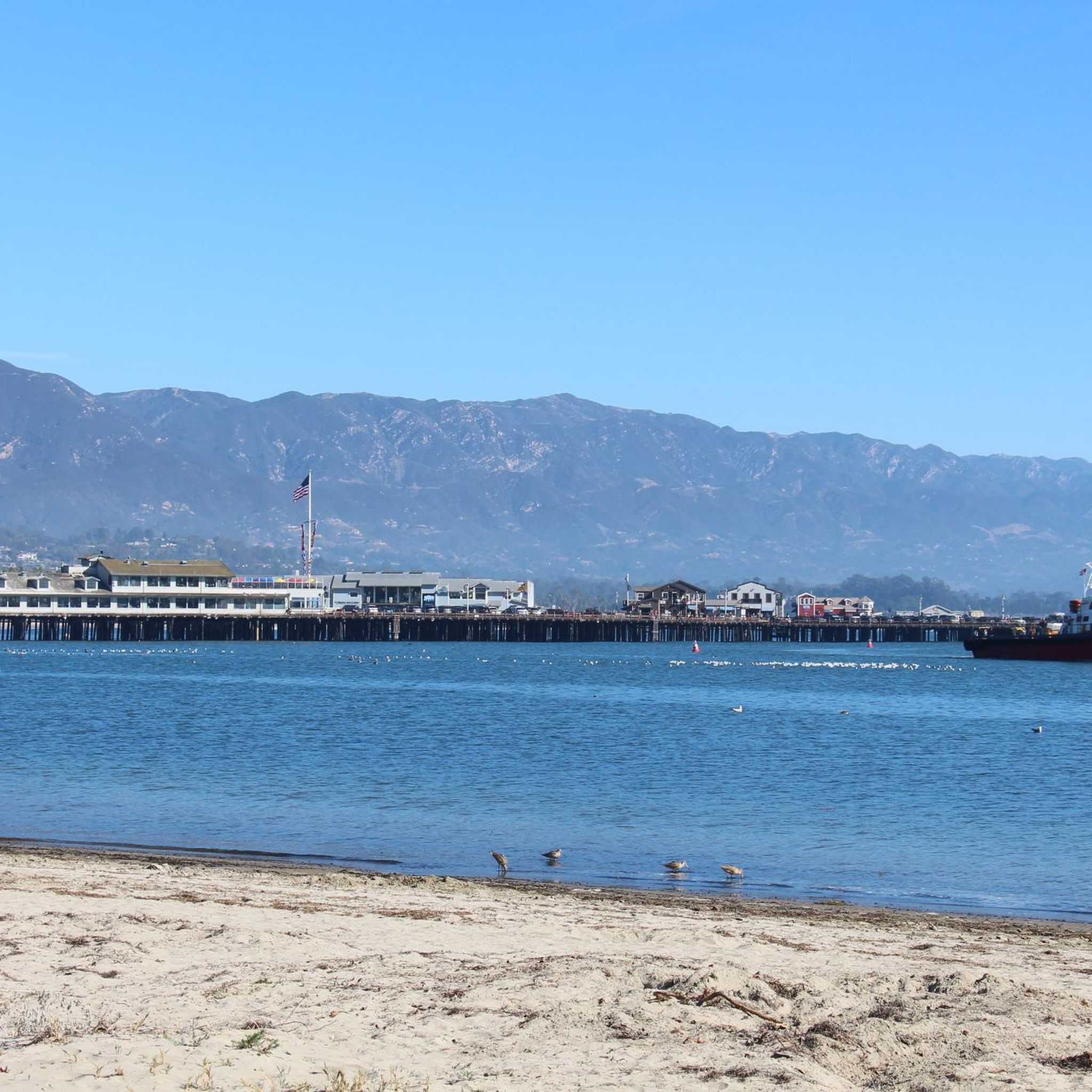
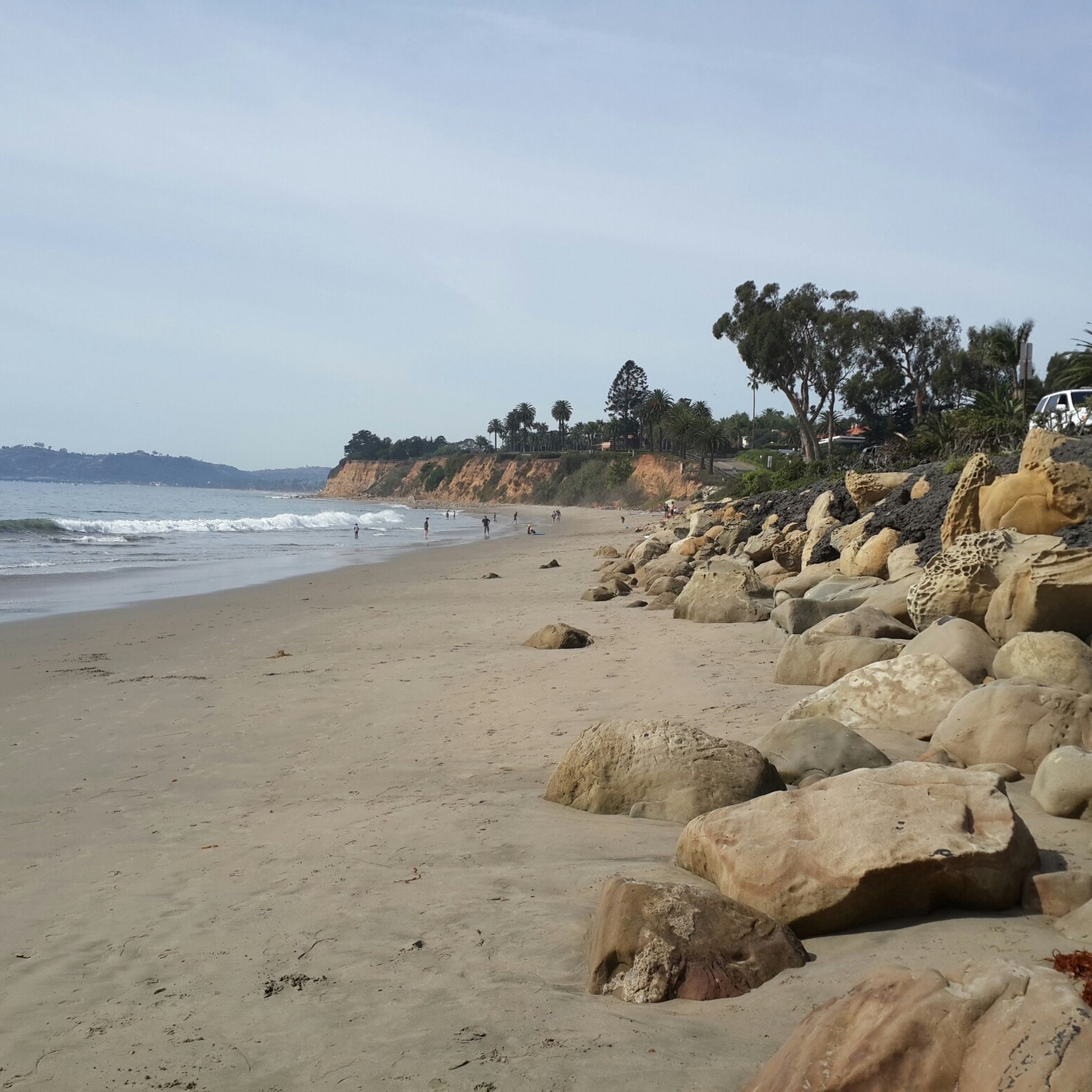
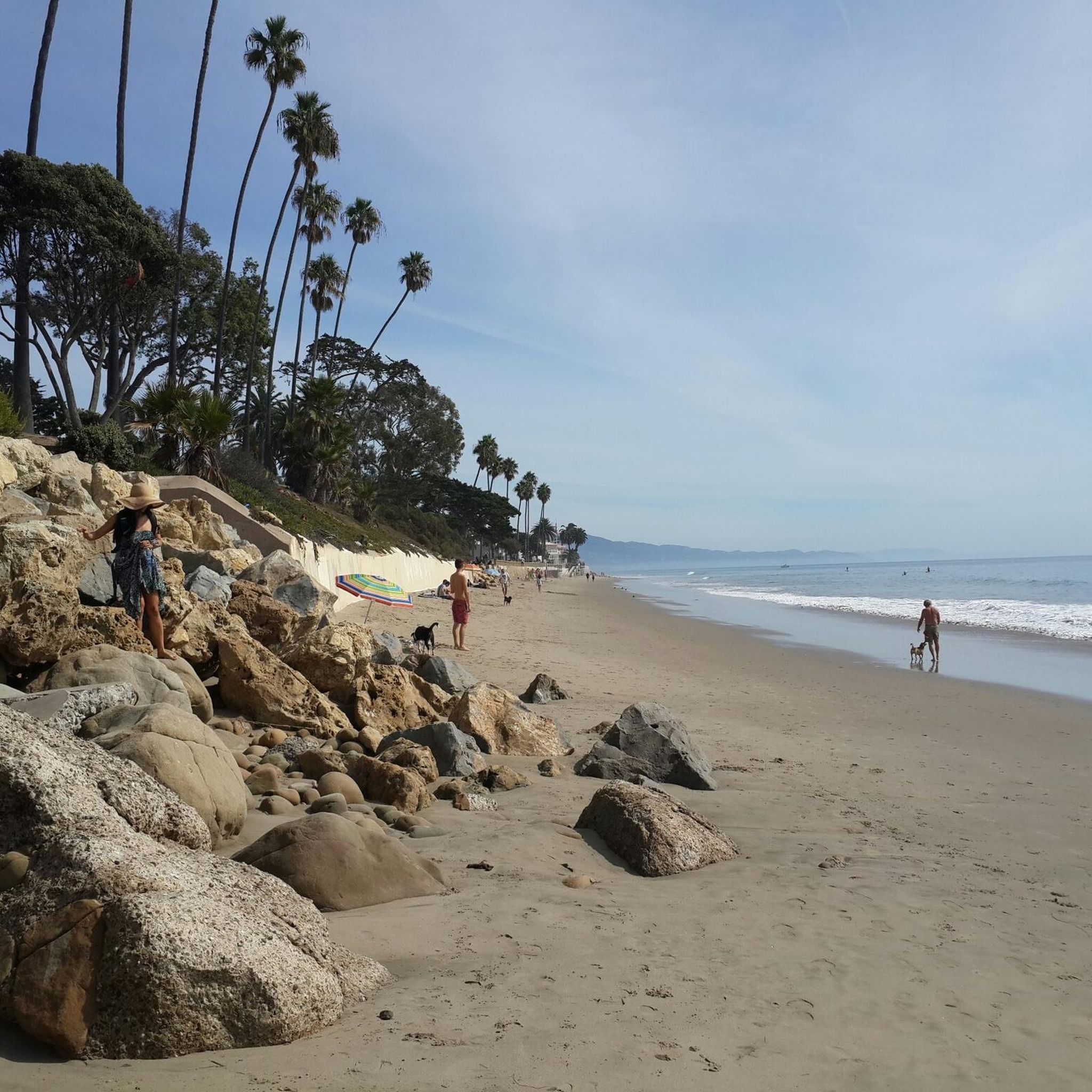
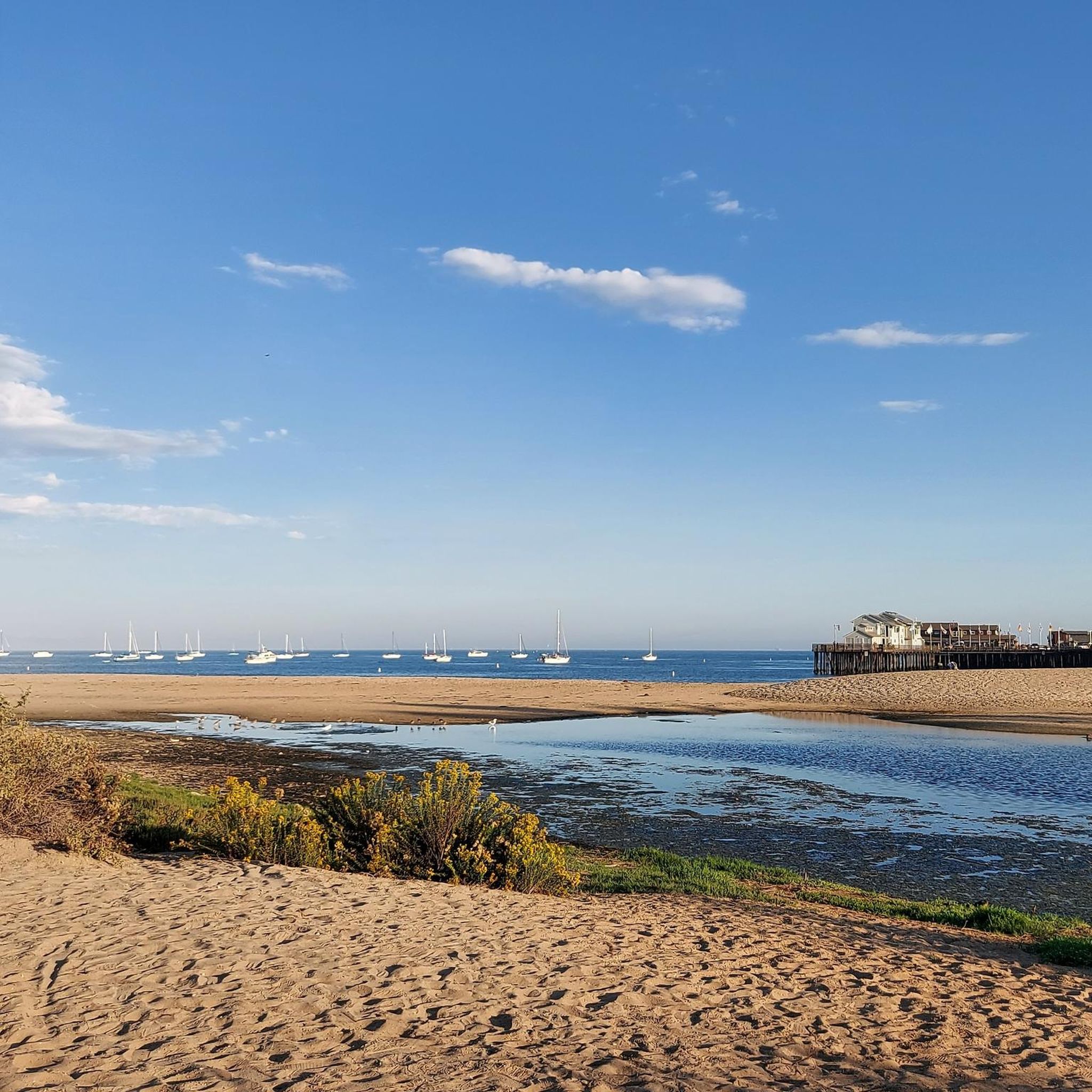
Tips from the Community

This popular multi-use trail for hikers, runners, and cyclists is a former wide fire road that narrows into a singletrack due to overgrowth. It is a more advanced gravel ride with a smooth climb. Riders must use a bell, which is available for free at bell boxes in the parking area. The trail is a mix of dirt and occasional loose gravel. Riders must use a bell, which is available for free at bell boxes in the parking area.
0
0
The Douglas Family Preserve is a 70-acre public park on the mesa above Arroyo Burro Beach. It is Santa Barbara’s largest piece of undeveloped coastal open space and was named after the Douglas Family Preserve. However, many locals still refer to it by its former name, the Wilcox Property.
0
0
Elings Park has over nine miles of multi-use trails with great ocean views. The trails are best suited for beginner-level mountain biking or more advanced gravel riding. Electric or motorized bikes are not allowed on the trails.
0
0

Nice view over Los Padres National Forest. The climb up to the peak is challenging, but it is worth the effort for the great vistas.
1
0

El Presidio Real de Santa Bárbara, also known as the Royal Presidio of Santa Barbara, is a former military facility in Santa Barbara, California, USA. The Presidio was built in 1782 by Spain with the mission of defending the Second Military District in California
0
0

Enjoy 200 acres of recreational space at Elings Park. There's a vast network of trails used for hiking, running and biking, and fantastic views on offer across the mountains and ocean. Watching the sun set from this park is particularly beautiful.
0
0

The old 1782 Royal Spanish and Mexican military fort is partially preserved and in other parts reconstructed, with a good museum and excellent historical info panels.
0
0

Very nice uphill towards Santa Barbara if you don't want to drive over the highway (which is possible with a bike). On the way up you pass the bridge. The street has almost no traffic and is very quiet.
0
1
Frequently Asked Questions
How many gravel bike trails are available around Montecito?
This guide features 5 gravel bike routes around Montecito, offering a mix of terrain from coastal paths to mountain ridgelines. You'll find options ranging from moderate to difficult, showcasing the region's diverse landscapes.
What kind of terrain can I expect on Montecito's gravel bike trails?
Montecito's gravel trails offer a varied experience, blending coastal landscapes with rugged mountain features. You'll encounter a mix of paved and unpaved surfaces, including challenging mountain roads like those in the Santa Ynez Mountains, and scenic paths through canyons and oak woodlands. Expect significant elevation changes on many routes, providing both challenging ascents and rewarding views.
Are there any challenging gravel bike routes in Montecito?
Yes, Montecito is known for its challenging gravel routes, often featuring substantial elevation gains and varied terrain. For instance, the Romero Canyon Loop is a difficult 8.9-mile trail with significant elevation gain through varied canyon terrain. Another demanding option is the Elings Park Sierra Club Trail loop, a difficult 4.4-mile path offering challenging riding with local landscape views.
What are some scenic viewpoints or natural features I can see while gravel biking in Montecito?
Montecito's gravel routes often provide breathtaking views of the Pacific Ocean and the Santa Ynez Mountains. You might pass through picturesque canyons with ancient oak woodlands, and during the rainy season, some trails like Cold Spring Trail or San Ysidro Trail can feature waterfalls. For specific natural highlights, consider visiting Montecito Hot Springs or the impressive Tangerine Falls.
Are there any family-friendly gravel biking options in Montecito?
While many routes in Montecito are quite challenging, the region also connects to various bike paths that offer a more relaxed experience. For a moderate option that could be suitable for families with some biking experience, consider the Elings Park – Modoc Road Multi-use Bike Path loop from Santa Barbara, which is 21.2 miles long with less extreme elevation changes compared to mountain routes.
What is the best time of year for gravel biking in Montecito?
Montecito enjoys a mild climate, making it suitable for gravel biking year-round. However, the spring and fall months often offer the most pleasant temperatures and clear skies. During the rainy season, some trails might have washed-out sections, particularly in higher elevations like Gibraltar Road or Refugio Road, so checking local conditions is always advisable.
Are there any long-distance gravel loops that include coastal views?
Yes, for a longer ride that combines coastal areas with urban fringes, the View from Franceschi Park – Stearns Wharf ⛵ Santa Barbara loop from Santa Barbara is a popular choice. This difficult 51.1-mile route offers extensive views and takes approximately 6 hours and 47 minutes to complete.
What are some points of interest or landmarks near the gravel trails?
Beyond the natural beauty, you can explore several interesting landmarks. The iconic Stearns Wharf in Santa Barbara is a popular destination, often integrated into longer rides. Other notable spots include the historic Santa Barbara County Courthouse and the vibrant State Street.
Are there any trails that offer significant elevation gain for a challenging workout?
Absolutely. Montecito is characterized by the Santa Ynez Mountains, providing routes with substantial elevation gains. Trails like Camino Cielo and Gibraltar Road are renowned for their challenging ascents, with some extended routes featuring up to 9,000 feet of climbing. These offer a rigorous workout and are rewarded with expansive views of the Pacific Ocean.
Where can I find parking for gravel bike trails in Montecito?
Parking availability varies by trailhead. For routes that start closer to urban areas or parks, designated parking lots are often available. For more remote mountain trails, roadside parking might be an option, but it's always recommended to check specific trail information or local regulations beforehand, as some areas may have limited space or restrictions.
Are there any dog-friendly gravel biking trails in Montecito?
While many trails in the Montecito area are popular with hikers and bikers, regulations regarding dogs can vary by specific trail or park. It's best to check the local rules for each trail you plan to ride, as some may require dogs to be on a leash, while others might not permit them on certain sections or at all. Always ensure your dog is well-behaved and that you clean up after them.
Can I find cafes or places to eat near the gravel biking routes in Montecito?
Montecito and nearby Santa Barbara offer a variety of cafes and eateries. While specific establishments directly on remote gravel trails are rare, routes that pass through or near urban fringes, such as those leading towards Santa Barbara, will provide ample opportunities to stop for refreshments. Many local businesses are accustomed to cyclists and offer outdoor seating.
Most popular attractions around Montecito

Get inspired with the komoot mobile app


Explore more
Browse the best Gravel rides in other regions.
