The best gravel rides around Milpitas
4.5
(10)
93
riders
12
rides
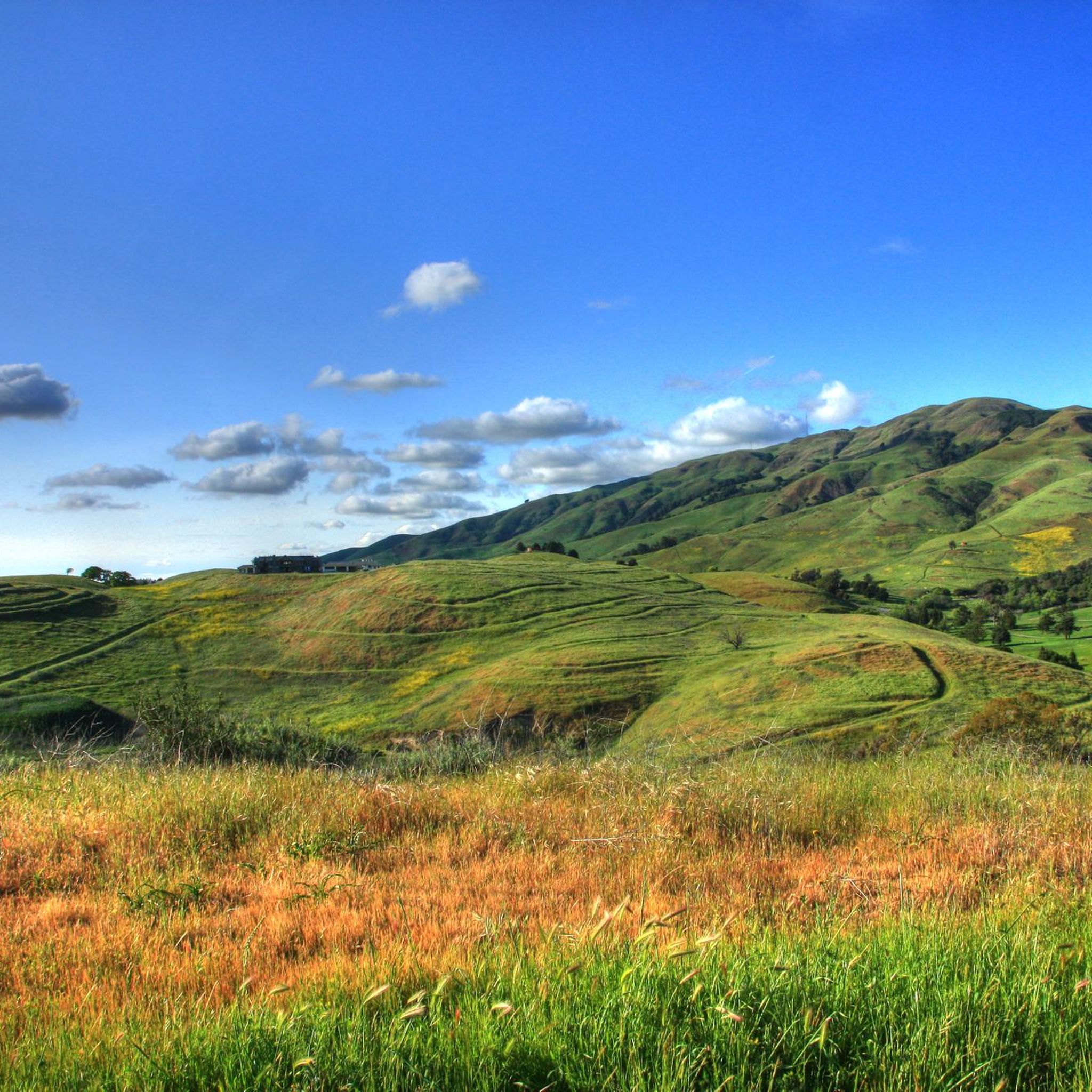
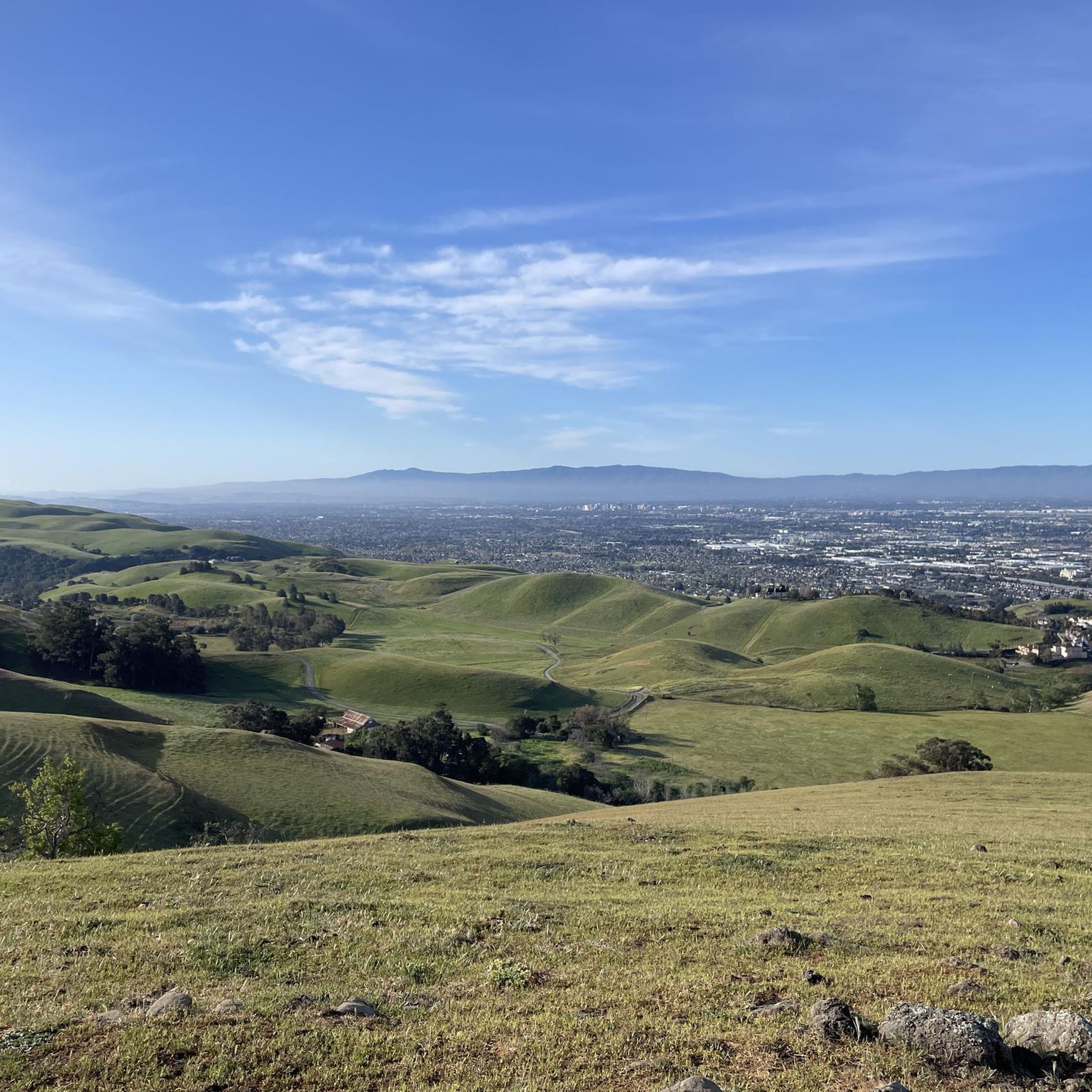
Gravel biking around Milpitas offers diverse landscapes within the Santa Clara Valley, featuring challenging hilly terrain in the Diablo Range and serene creekside paths. The region includes extensive trail networks, such as those within Ed R. Levin County Park and along the San Francisco Bay Trail. Riders can explore varied surfaces, from natural trails and dirt roads to paved sections, connecting significant outdoor areas like marshlands and bay views. This varied topography provides a range of experiences for gravel cyclists.
…Last updated: August 7, 2026
5.0
(4)
34
riders
Moderate gravel ride. Good fitness required. Mostly paved surfaces. Suitable for all skill levels.
4.0
(2)
16
riders
Moderate gravel ride. Good fitness required. Mostly paved surfaces. Suitable for all skill levels.

Sign up for free
5.0
(2)
18
riders
Easy gravel ride. Great for any fitness level. Mostly paved surfaces. Suitable for all skill levels.
5.0
(3)
26
riders
Moderate gravel ride. Good fitness required. Mostly paved surfaces. Suitable for all skill levels.
6
riders
34.7km
02:35
750m
760m
Hard gravel ride. Very good fitness required. Mostly paved surfaces. Suitable for all skill levels.
Get access to more routes and recommendations from other explorers.
Sign up for free
Already have an account?
Our route recommendations are based on thousands of hikes, rides, and runs completed by other people on komoot.
Start today with a free account
Your next adventure awaits.
Login or Signup

Other adventures around Milpitas

Tips from the Community


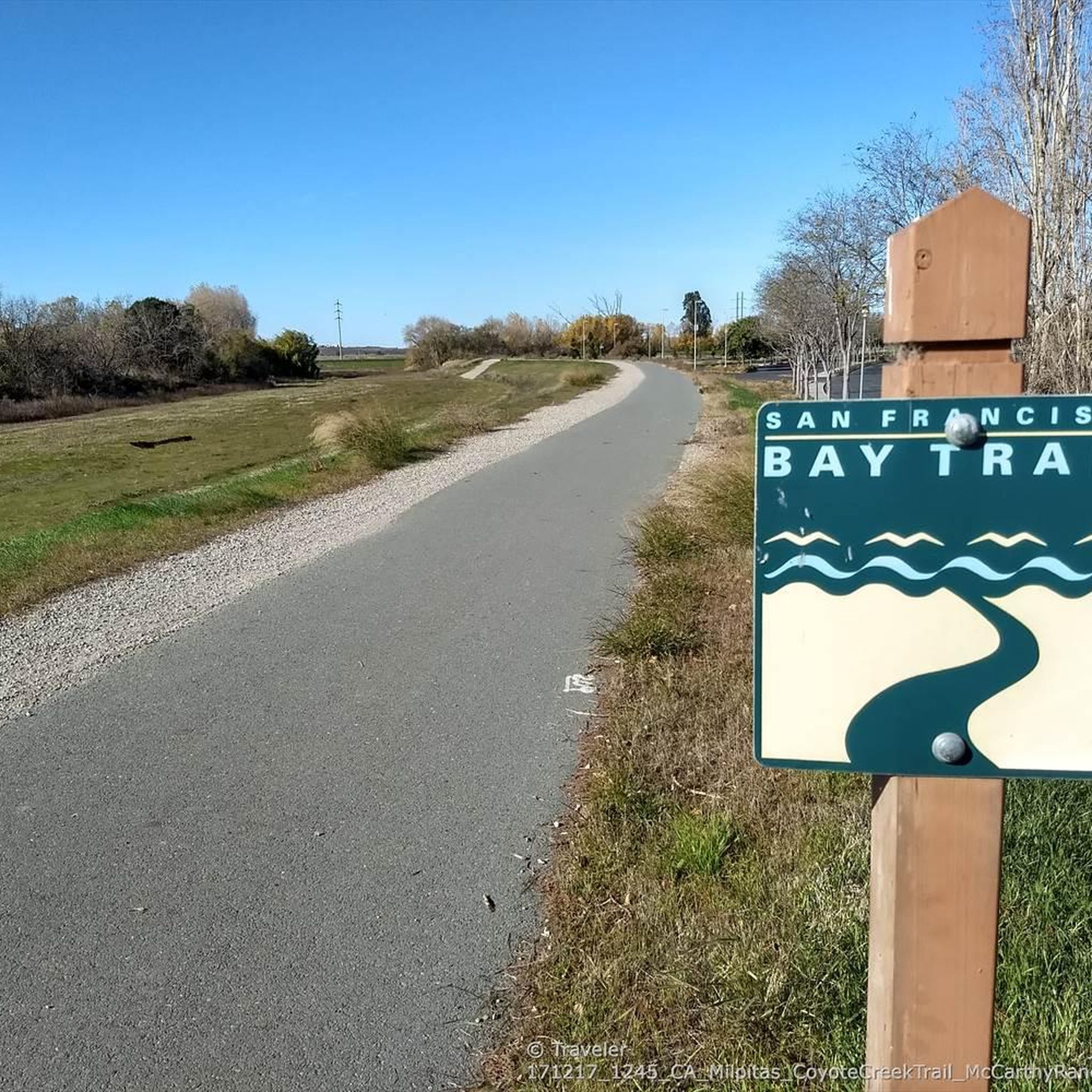
The San Francisco Bay Trail is a flat, paved trail that runs along the border of the bay. It is a great place for a run because it is traffic free and has great views.
0
0

Alum Rock Park, established in 1872, is one of California's oldest municipal parks, spanning 720 acres. Visitors can enjoy hiking, biking, horseback riding, and family picnicking with amenities like picnic tables, barbecue pits, restrooms, and a playground in the mid-canyon area. The park is wheelchair accessible and open daily from 8 a.m. to half an hour after sunset, a great spot to explore year-round.
0
0
Visitors to the Penitencia Creek Trail can view the water-filled Dr. Robert W. Gross Recharge Ponds. These ponds, part of a system designed to recharge underground aquifers, are crucial for maintaining healthy groundwater levels that supply nearly half of Santa Clara County's water. While the ponds support wildlife, their primary purpose is water filtration, and visitors are reminded not to introduce fish or animals into the ponds.
0
0
Riding through the Baylands is wonderful especially on a sunny day.
0
0

This is a restored wetland in Don Edwards San Francisco Bay National Wildlife Refuge. It has a short, family-friendly loop of multi-use trail that offers some great views.
0
0
Ravenswood Preserve, a 376-acre wetland in the San Francisco Bay, is a great spot for birdwatching and family fun. Open from half an hour before sunrise to half an hour after sunset, it features a flat trail for walking and biking along the marsh levee. Migrating birds like sandpipers, avocets, and herons frequent the area, while the marshland are home to endangered species like the Ridgway's rail.
0
0
Alviso Marina County Park, located along Alviso Slough, serves as the gateway to the Don Edwards San Francisco Bay National Wildlife Refuge. This 20.6-acre park offers opertunities for hiking, biking, bird watching, and kayaking, with scenic views of the surrounding mountains and wildlife. Visitors can explore the park's boardwalks, picnic areas, and boat launch, which has access to San Francisco Bay. The park is part of the San Francisco Bay Area Water Trail and is ADA-compliant, ensuring accessibility for all visitors.
0
0
Frequently Asked Questions
How many gravel bike trails can I find around Milpitas?
There are 14 gravel bike trails around Milpitas listed on komoot, offering a range of experiences. You'll find 3 easy routes, 8 moderate, and 3 difficult options to choose from.
Are there any beginner-friendly or family-friendly gravel bike trails in Milpitas?
Yes, Milpitas offers several easy routes suitable for beginners or family outings. The Moffett Federal Airfield – Stevens Creek bridge loop from Santa Clara-Great America is an easy 16.0-mile path that provides a flatter ride along the baylands, perfect for a relaxed experience. The Coyote Creek Trail and sections of the San Tomas Aquino Creek trail also offer flat, accessible options.
What kind of terrain can I expect on gravel bike trails around Milpitas?
Gravel biking around Milpitas offers diverse terrain, from flat, scenic creek trails and bayland paths to challenging hilly routes within the Diablo Range. You'll encounter a mix of natural trails, gravel paths, and some paved sections, especially in parks like Ed R. Levin County Park and along the San Francisco Bay Trail.
Are there any challenging gravel bike routes for experienced riders?
Yes, for experienced riders seeking a challenge, routes like the Climb with beautiful views – Piedmont Ponds loop from Berryessa offer significant elevation gains and rewarding views. Ed R. Levin County Park also features extensive trails with varied terrains and ascents that can be quite demanding.
What natural features or landmarks can I see along the gravel bike trails?
Many gravel routes offer stunning views and access to natural landmarks. You can explore marshlands and the bay on routes like the New Chicago Marsh – Alviso Marina County Park loop from River Oaks. Other trails lead through baylands and nature preserves, such as the Stevens Creek bridge – Baylands Nature Preserve loop from Santa Clara. You might also encounter highlights like Alviso Marina County Park, Piedmont Ponds, and the San Tomas Aquino Creek. For panoramic vistas, some trails in Ed R. Levin County Park offer views of the valley floor and the San Francisco Bay, with Mission Peak being a prominent natural landmark in the area.
Are there any circular gravel bike routes in Milpitas?
Yes, many of the gravel bike trails around Milpitas are designed as loops. Examples include the New Chicago Marsh – Alviso Marina County Park loop from River Oaks, the Moffett Federal Airfield – Stevens Creek bridge loop from Santa Clara-Great America, and the Climb with beautiful views – Piedmont Ponds loop from Berryessa. These allow you to start and end at the same point without retracing your steps.
What is the best time of year for gravel biking in Milpitas?
Milpitas generally offers good gravel biking conditions year-round due to its mild climate. Spring and fall are particularly pleasant with comfortable temperatures. Winter can also be a good time, though some trails might be muddy after rain. Summers can be warm, so early morning or late afternoon rides are often preferred.
What do other gravel bikers enjoy most about gravel biking in Milpitas?
The gravel bike routes in Milpitas are highly rated by the komoot community, with an average score of 4.25 stars. Reviewers often praise the diverse landscapes, from serene creekside paths to challenging hilly terrain, and the panoramic views of the Bay Area. The ability to connect various parks and trails, offering both convenience and varied scenery, is also a highlight.
Are dogs allowed on the gravel bike trails in Milpitas?
Dog policies vary by park and trail. While many regional parks like Ed R. Levin County Park allow dogs on leash, it's always best to check specific regulations for each trail or park you plan to visit. For general information on outdoor recreation in the city, you can visit the Milpitas city website.
Where can I find parking for gravel biking in Milpitas?
Many parks and trailheads in and around Milpitas offer designated parking areas. For instance, Ed R. Levin County Park has parking facilities, and trail access points along the Coyote Creek Trail and San Tomas Aquino Creek often have nearby parking. It's advisable to check the specific starting point of your chosen route for the most convenient parking options.
Are there any less crowded gravel bike trails around Milpitas?
While popular routes can see more traffic, exploring trails during off-peak hours (weekdays, early mornings) can help avoid crowds. Additionally, some of the longer or more challenging routes, particularly those with significant elevation in areas like the Diablo Range, tend to be less frequented than the flatter, more accessible creek paths.
Most popular attractions around Milpitas

Get inspired with the komoot mobile app


Explore more
Browse the best Gravel rides in other regions.
