The best cycling routes around Milpitas
4.6
(121)
2,249
riders
11
rides
Best touring cycling routes Milpitas California traverse a landscape characterized by the flatlands of the Santa Clara Valley, bordered by the Diablo Range to the east. The area features a mix of urban and suburban roads, alongside routes that follow creeks and lead into the foothills. Touring cyclists can expect varied terrain, from gentle valley paths to more challenging ascents with scenic overlooks.
Best touring cycling routes around Milpitas
- The most popular touring cycling route is Penitencia Creek Trail –…
Last updated: September 29, 2026
24
riders
37.8km
02:39
730m
730m
Hard bike ride. Very good fitness required. Mostly paved surfaces. Suitable for all skill levels.
5.0
(1)
22
riders
35.3km
02:15
280m
280m
Moderate bike ride. Good fitness required. Mostly paved surfaces. Suitable for all skill levels.

14
riders
38.4km
02:31
400m
400m
Moderate bike ride. Good fitness required. Mostly paved surfaces. Suitable for all skill levels.
4.0
(1)
13
riders
23.0km
01:27
40m
40m
Easy bike ride. Great for any fitness level. Mostly paved surfaces. Suitable for all skill levels.
7
riders
44.3km
02:33
70m
70m
Moderate bike ride. Good fitness required. Mostly paved surfaces. Suitable for all skill levels.
Get access to more routes and recommendations from other explorers.
Already have an account?
Our route recommendations are based on thousands of hikes, rides, and runs completed by other people on komoot.
Start today with a free account
Your next adventure awaits.

Other adventures around Milpitas

Tips from the Community

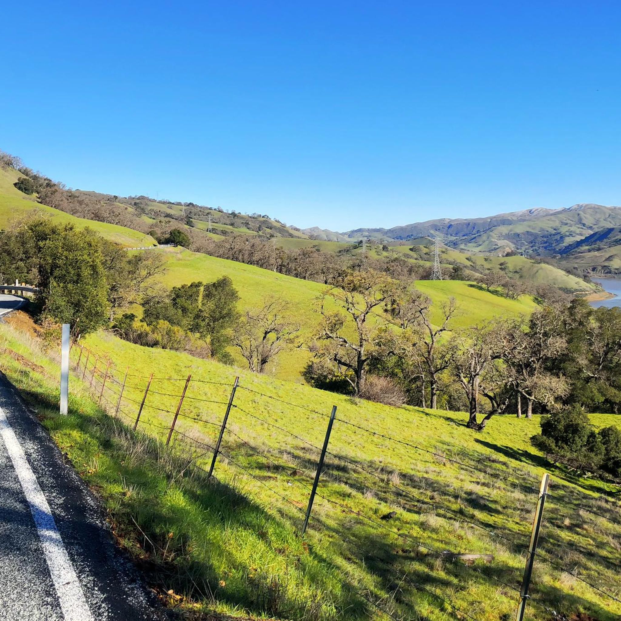
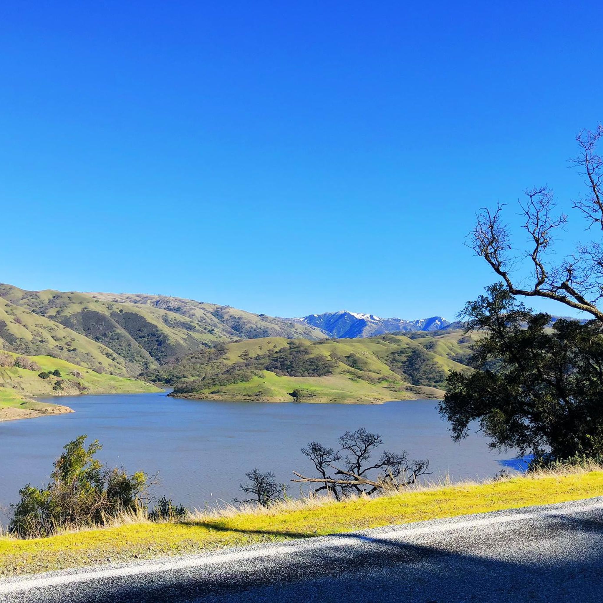
Calfateras road begins by a robust climb, and then it changes to a series of switchbacks with spectacular views to the reservoir and surrounding park. The switchbacks alternate between downhill and moderate climbs, before a long downhill and flat terrain.
0
0

Riding south on Felter road from Calaveras after doing Polamares and and Calaveras Roads was a real challenge, especially since it was my first time! Get something to fuel up on at the Sunol Little Store!
0
0

This is a nice stretch of road that follows along the path of Alameda Creek as it cuts through the foothills.
0
0

Alum Rock Road is a paved, east-west road running through the heart of Alum Rock Park. Stretching about a mile, it features a gentle elevation change of about 100 feet, making it a relatively easy route. The road provides access to various trailheads, picnic areas, and park attractions, including the historic Mineral Springs Grotto.
0
0
Alum Rock Park, established in 1872, is one of California's oldest municipal parks, spanning 720 acres. Visitors can enjoy hiking, biking, horseback riding, and family picnicking with amenities like picnic tables, barbecue pits, restrooms, and a playground in the mid-canyon area. The park is wheelchair accessible and open daily from 8 a.m. to half an hour after sunset, a great spot to explore year-round.
0
0

It's really amazing that this stone bridge is still here. I understand it was originally built to easily get pack horses across the creek — and of course the people with them, too.
0
0
Inspiration Point in Alum Rock Park offers stunning views of San Jose and the Bay and is surrounded by mature native trees and shrubs. Since 2011, volunteers have been working to restore the area by removing invasive species through the "Weed & Walk" group. Shade can be found up here amongst the trees, and there is a wooden fence and wooden benches indicating the arrival of the Inspiration Point viewpoint.
0
0

You can find free parking and restrooms by the side of the creek. From here you have the option of many different hilly but nontechnical trails up to Eagle Rock, Inspiration Point, Boccardo, or along the creek side.
0
0
Frequently Asked Questions
Are there easy touring cycling routes in Milpitas?
Yes, Milpitas offers several easy touring cycling routes. Approximately half of the routes in the area are classified as easy, making them suitable for a relaxed ride. An example is the Bike loop from Great Mall/Main, which is relatively flat and covers about 14 miles (23 km).
What are some longer touring cycling routes around Milpitas?
For longer rides, you can explore routes that venture into the foothills or along the valley. The Spring Valley Pond – Calaveras Road loop from Milpitas is a challenging 21.8 miles (35.1 km) route with significant elevation gain. Another option is the Penitencia Creek Trail – Climb with beautiful views loop from Milpitas, spanning 20.2 miles (32.4 km) with expansive views.
Are there family-friendly touring cycling options in Milpitas?
Milpitas has several easy routes that are well-suited for families. These routes often follow creek-side paths or flat valley roads, avoiding steep climbs. Look for routes classified as 'easy' in the guide, which typically have less traffic and gentler terrain.
When is the best time of year for touring cycling in Milpitas?
The Santa Clara Valley generally offers pleasant cycling conditions for much of the year. Spring and fall are ideal, with mild temperatures and less chance of extreme heat or rain. Summer can be warm, especially in the afternoon, while winter typically brings cooler temperatures and occasional rain, but many days remain suitable for cycling.
What natural attractions can I see while touring cycling near Milpitas?
While touring cycling around Milpitas, you can encounter various natural attractions. Highlights include the Calaveras Reservoir Scenic Segment, Alviso Marina County Park, and the Former salt ponds – Alviso wetlands. For those seeking a challenge, routes might offer views of Mission Peak in the distance.
Are there circular touring cycling routes available in Milpitas?
Yes, many touring cycling routes in Milpitas are designed as loops, allowing you to start and end at the same point. Examples include the Alum Rock Road – Inspiration Point loop from Milpitas and the Oleander Along Evans Road – Spring Valley Pond loop from Milpitas. These loops offer varied terrain and scenic views.
Where can I find scenic viewpoints on touring cycling routes in Milpitas?
Scenic viewpoints are often found on routes that ascend into the foothills of the Diablo Range. The Penitencia Creek Trail – Climb with beautiful views loop from Milpitas is known for its expansive vistas. Routes leading towards Inspiration Point also offer elevated perspectives of the valley.
What do other touring cyclists enjoy the most about touring cycling in Milpitas?
The touring cycling routes in Milpitas are highly rated by the komoot community, with an average score of 4.5 stars. Cyclists often praise the diverse terrain, which ranges from gentle valley paths to challenging ascents, and the scenic views of the surrounding landscape, including the Diablo Range and various natural landmarks.
Can I find cafes or places to stop along touring cycling routes in Milpitas?
Many touring cycling routes in Milpitas pass through or near urban and suburban areas, where you can find various amenities, including cafes, restaurants, and shops. Routes that stay closer to the city center or pass through commercial districts will offer more frequent opportunities for stops and refreshments.
What are the winter conditions like for touring cycling in Milpitas?
Winter in Milpitas typically brings cooler temperatures and increased rainfall compared to other seasons. While some days may be wet, there are often clear, crisp days suitable for cycling. It's advisable to check the weather forecast before heading out and be prepared for potentially damp or muddy sections on unpaved paths.
Are there advanced touring cycling routes in Milpitas?
Yes, for experienced touring cyclists seeking a challenge, Milpitas offers routes with significant elevation gain. Approximately a quarter of the routes are classified as difficult. These routes often involve sustained climbs into the Diablo Range foothills, providing a rigorous workout and rewarding views.
Where can I find parking for touring cycling routes in Milpitas?
Parking availability varies depending on the specific starting point of your chosen route. Many routes begin near public parks, community centers, or shopping areas that may offer parking. For routes starting from urban centers like the Great Mall, dedicated parking facilities are available. Always check local signage for parking regulations.
Most popular attractions around Milpitas

Get inspired with the komoot mobile app


Explore more
Browse the best Cycling routes in other regions.
