The best gravel rides around Calabasas
4.8
(5)
126
riders
25
rides
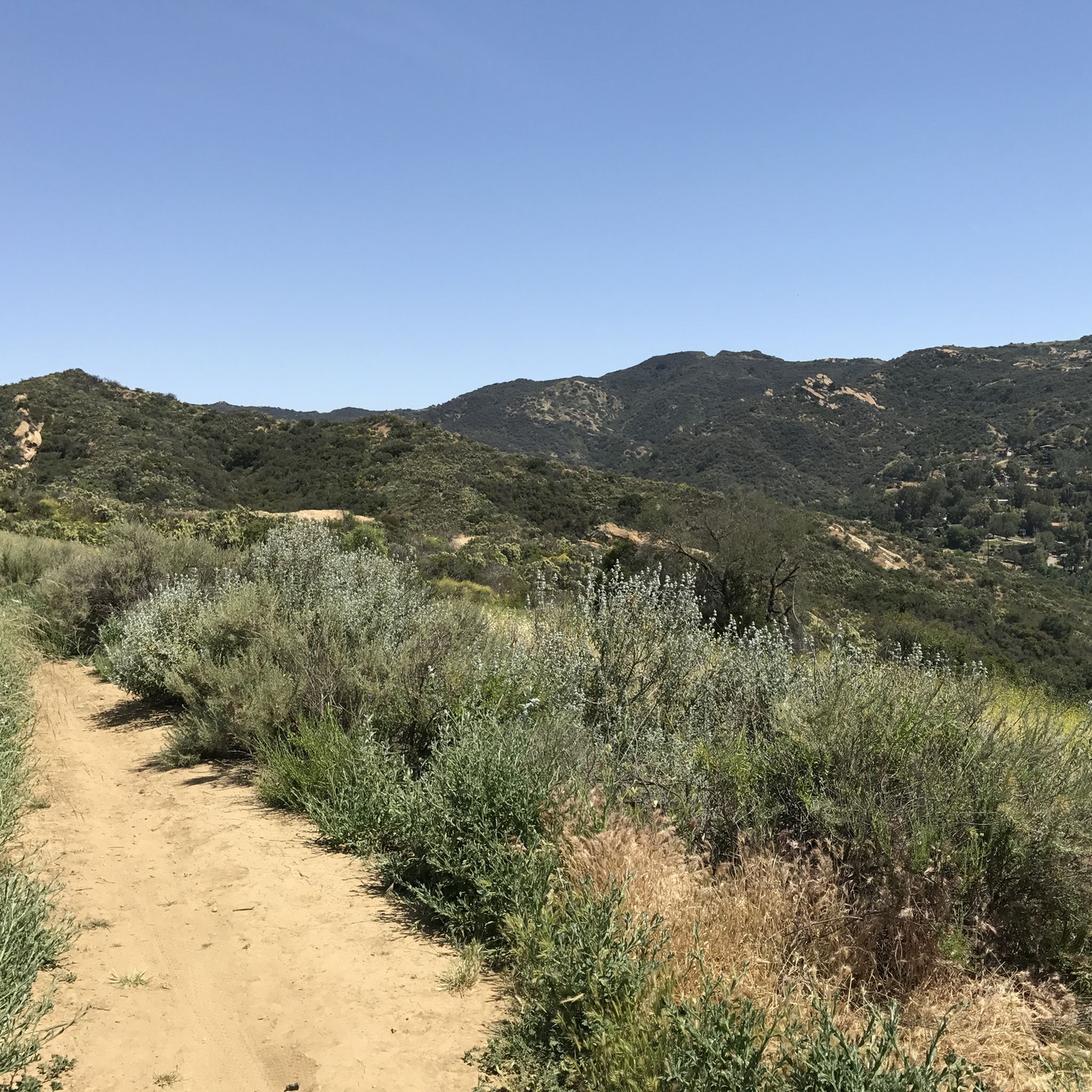
Gravel biking around Calabasas offers routes through the Santa Monica Mountains, characterized by chaparral-covered hills, oak woodlands, and canyon systems. The terrain includes fire roads and singletrack sections, providing varied surfaces for gravel cyclists. Elevations range from gentle climbs to more challenging ascents, with many routes featuring panoramic viewpoints. The region's geology includes sedimentary rock formations and coastal proximity influences the landscape.
Best gravel bike trails around Calabasas
- The most popular gravel bike trail is Malibu Creek State Park loop, a 13.9 miles (22.4 km) trail that takes 1 hour 35 minutes to complete, traversing varied terrain within the state park.
- Another top favourite among local gravel bikers is San Vicente Mountain Viewpoint – The Hub (Topanga State Park) loop from Woodland Hills, a difficult 21.2 miles (34.2 km) path offering extensive views from San Vicente Mountain.
- Local gravel bikers also love the West Mandeville Fire Road – San Vicente Mountain Viewpoint loop from Woodland Hills, a 28.1 miles (45.2 km) trail leading through mountainous terrain and fire roads, often completed in about 4 hours 53 minutes.
- Gravel biking around Calabasas is defined by chaparral hills, oak woodlands, and canyon trails, with options for both moderate and advanced gravel bike routes near Calabasas. The network offers options for different ability levels, from moderate to difficult.
- The routes in Calabasas are highly rated by the komoot community with an average score of 4.4 stars from around 10 reviews. More than 100 gravel bikers have used komoot to explore Calabasas's varied terrain.
Last updated: September 29, 2026
1
riders
22.4km
01:35
280m
280m
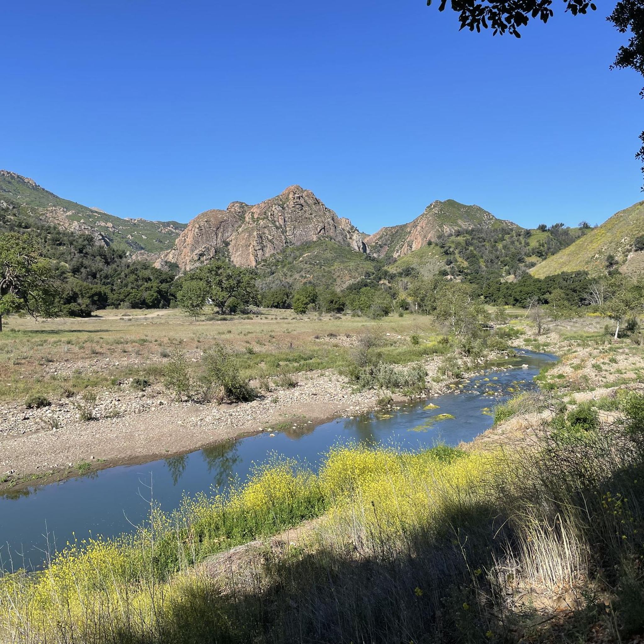
The Malibu Creek State Park loop offers a fantastic gravel biking experience, blending varied terrain with captivating scenery. You'll navigate wide fire roads and scenic dirt paths, winding through oak woodlands and California grasslands. Keep an eye out for the historic M*A*S*H Helipad, a unique landmark along the way, as you take in panoramic views of the Santa Monica Mountains. This route provides a great mix of challenge and reward for gravel biking enthusiasts.
This moderate 13.9-mile (22.4 km) loop involves 917 feet (280 metres) of elevation gain, typically taking around 1 hour and 35 minutes to complete. Located just 25 miles from downtown Los Angeles, the park is easily accessible for a day trip. While specific parking information isn't detailed, arriving early is always a good strategy, especially on busy days. Remember to bring plenty of water, as sections of the trail can be exposed.
Beyond its natural beauty, Malibu Creek State Park is notable for its rich Hollywood history, having served as a filming location for over 100 movies and TV shows. The park's diverse ecosystem also means you might spot local wildlife like deer and coyotes amidst the unique volcanic rock formations. It's a popular choice for those seeking a scenic and moderately challenging gravel biking adventure near the city.
5.0
(2)
24
riders
Hard gravel ride. Very good fitness required. Mostly paved surfaces. Suitable for all skill levels.

8
riders
29.0km
02:34
850m
850m
Hard gravel ride. Very good fitness required. Mostly paved surfaces. Suitable for all skill levels.
14
riders
Hard gravel ride. Very good fitness required. Mostly paved surfaces. Suitable for all skill levels.
8
riders
57.1km
04:45
1,350m
1,350m
Hard gravel ride. Very good fitness required. Mostly paved surfaces. Suitable for all skill levels.
Get access to more routes and recommendations from other explorers.
Already have an account?
Our route recommendations are based on thousands of hikes, rides, and runs completed by other people on komoot.
Start today with a free account
Your next adventure awaits.
Tips from the Community

From Eagel Rock to Parker Mesa is very sandy at the moment
0
0

Topanga State Park has a lot of great trails, mostly for hikers; you have plenty of mountain bike options too, but only on the fire roads. No dogs allowed — sorry!
0
0

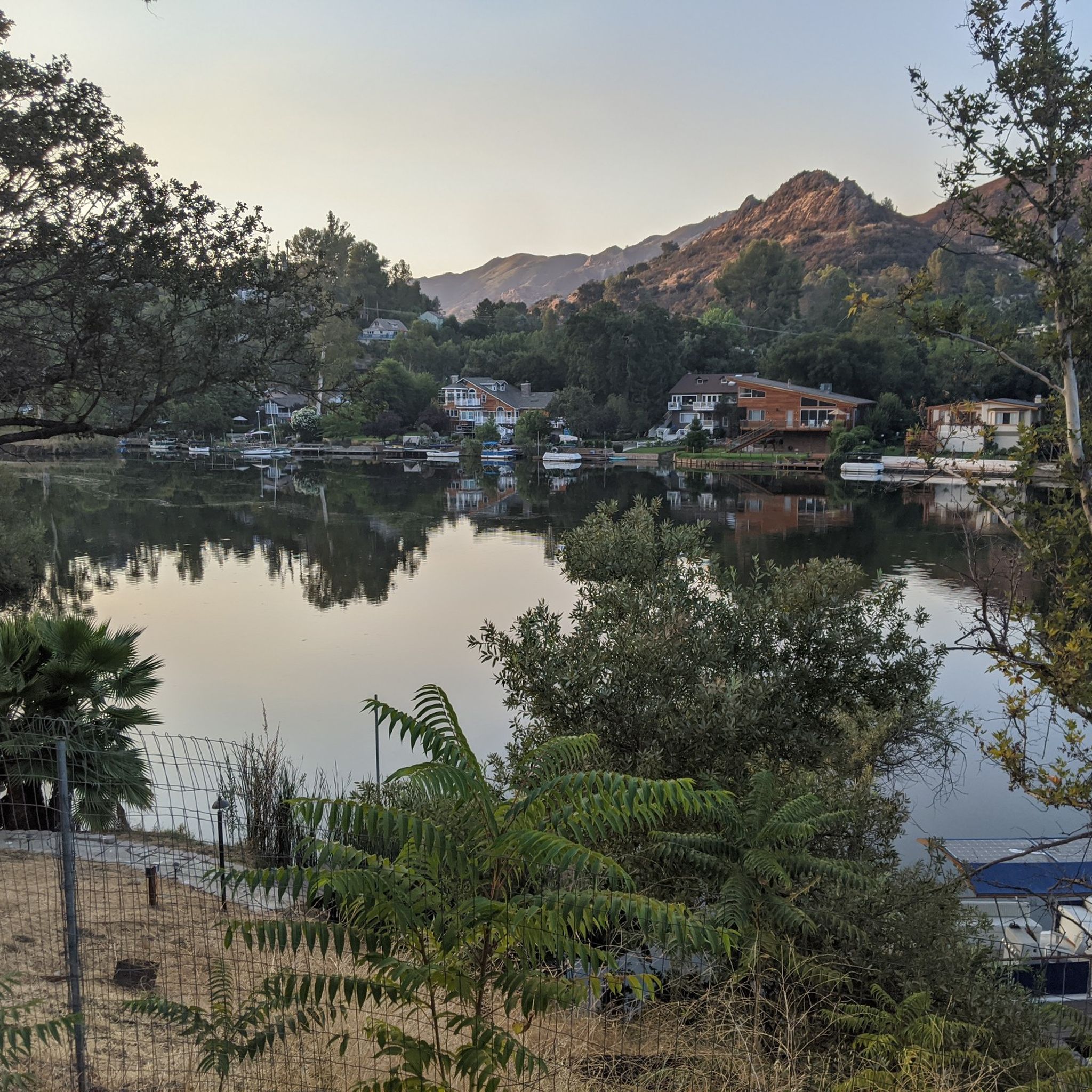
Tucked in the Santa Monica Mountains near Agoura Hills, Malibou Lake is a private reservoir surrounded by rustic homes and hillsides dotted with oak trees. Created in 1922, the Medea and Triunfo creeks feed the reservoir, which sits adjacent to Malibu Creek State Park. The lake has a long history as a Hollywood filming location, most notably Frankenstein (1931)—the iconic scene of the monster and a little girl.
0
0
Pedalers Fork is a unique combination of a restaurant, bar, coffee shop, and boutique bike shop in the heart of Calabasas. It offers delicious farm-to-table dining and artisan coffee with a casual vibe and a great patio, making it a fantastic place to relax after a ride.
0
0

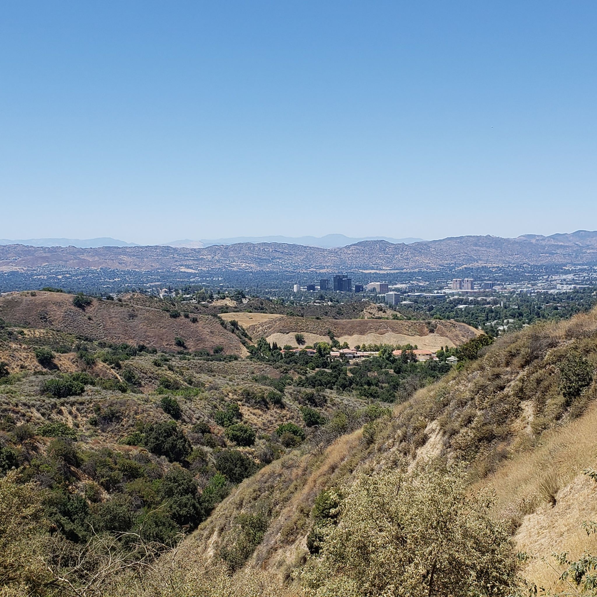
San Vicente Mountain Park, located 2.7 miles west of the 405 freeway on an unpaved section of Mulholland Drive, has awesome 360-degree views and access to extensive hiking, mountain biking, and equestrian trails. The 10.2-acre park has public picnic areas, bathrooms, and is a gateway to Westridge Canyonback Park and the 20,000-acre “Big Wild” wilderness area. A short walk along a wide dirt road leads visitors to this historic site, which once housed a Nike-Ajax missile radar station during the Cold War (1956–1968). The original radar tower now provides panoramic views of the Santa Monica Mountains, Encino Reservoir, San Fernando Valley, and Los Angeles Basin, making it one of the best spots in the region to watch a sunset.
1
0

Sweeping panoramic overlook across Pacific Palisades, West LA, Santa Monica, and the Pacific Ocean bay at the junction of Paseo Miramar and Los Leones Trail
0
0
This is a handy connector trail, used mostly to go downhill from The Hub to the Bent Arrow Trail, or you can keep going all the way to Mulholland Drive with a climb at the very end.
0
0

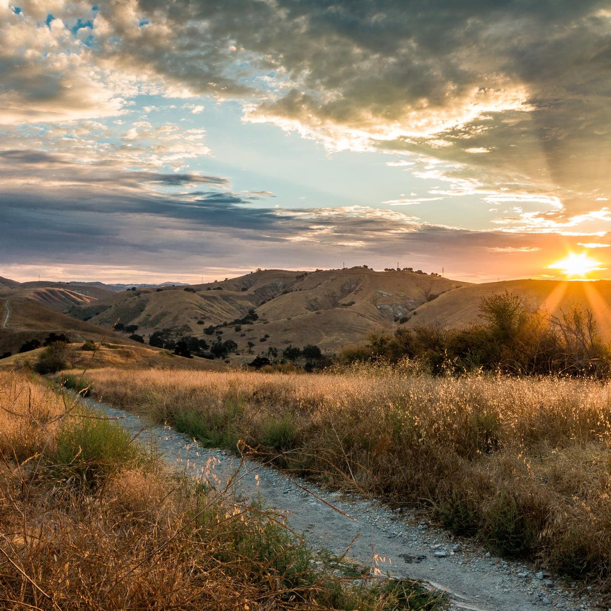
Your climb up to the ridgeline will be rewarded with an excellent view of the surrounding area.
0
0
Frequently Asked Questions
How many gravel bike trails are available in Calabasas?
Calabasas offers over 30 gravel bike routes, with a good mix of moderate and difficult options. You'll find 10 moderate routes and 21 more challenging trails, providing diverse experiences for different skill levels.
What kind of terrain can I expect on gravel bike trails in Calabasas?
Gravel biking in Calabasas takes you through the Santa Monica Mountains, featuring chaparral-covered hills, oak woodlands, and canyon systems. The terrain includes a mix of fire roads and singletrack sections, with elevations ranging from gentle climbs to more challenging ascents, often leading to panoramic viewpoints.
Are there any beginner-friendly gravel bike routes in Calabasas?
While many routes are moderate to difficult, beginners can find suitable options. The Malibu Creek State Park loop is a moderate 22.4 km trail that offers varied terrain within the state park, making it a good starting point for those looking for a less strenuous ride.
What are some longer, more challenging gravel bike routes for experienced riders?
Experienced riders looking for a challenge have several options. The West Mandeville Fire Road – San Vicente Mountain Viewpoint loop from Woodland Hills is a difficult 45.2 km trail that takes nearly 5 hours to complete, traversing mountainous terrain and fire roads. Another demanding option is the Eagle Rock – The Hub (Topanga State Park) loop from Woodland Hills, a 47.7 km difficult route.
Are there any scenic viewpoints or natural attractions along the gravel trails?
Yes, many routes offer stunning views and access to natural attractions. You might encounter highlights like the Parker Mesa Overlook, offering expansive coastal vistas, or the unique rock formations at Eagle Rock. The San Vicente Mountain Viewpoint – The Hub (Topanga State Park) loop from Woodland Hills specifically highlights extensive views from San Vicente Mountain.
Can I find loop routes for gravel biking in Calabasas?
Absolutely. Many of the popular gravel bike trails in Calabasas are designed as loops, allowing you to start and end at the same point. Examples include the Malibu Creek State Park loop and the The Hub (Topanga State Park) – Eagle's Rock View loop from Louisville High School.
What do other gravel bikers say about the trails in Calabasas?
The gravel biking routes in Calabasas are highly rated by the komoot community, with an average score of 4.4 stars from around 10 reviews. Over 100 gravel bikers have explored the area, often praising the varied terrain and scenic beauty of the Santa Monica Mountains.
What is the best time of year to go gravel biking in Calabasas?
Calabasas generally offers good gravel biking conditions year-round due to its Mediterranean climate. Spring and fall provide pleasant temperatures, while winter can be cooler but often clear. Summers can be hot, so early morning rides are recommended during warmer months.
Are there any trails that pass by water features like waterfalls or lakes?
Yes, some areas near Calabasas feature water attractions. You can find highlights like the Malibu Creek Rock Pools and Century Lake within Malibu Creek State Park. The Temescal Canyon Falls is also a notable waterfall in the wider region.
Are there options for less crowded gravel trails in Calabasas?
While popular routes can see more traffic, exploring the numerous fire roads and less-trafficked sections of the Santa Monica Mountains can lead to quieter experiences. Opting for rides during off-peak hours or weekdays can also help you find more solitude on the trails.
What should I bring for a gravel ride in Calabasas?
Given the varied terrain and potential for longer rides, it's advisable to bring plenty of water, especially on warmer days. Sun protection, basic bike repair tools, and snacks are also recommended. Depending on the route, a GPS device or a downloaded map is useful for navigation.
Most popular routes around Calabasas
Most popular attractions around Calabasas

Get inspired with the komoot mobile app


Explore more
Browse the best Gravel rides in other regions.
