The best MTB trails around Calabasas
4.6
(39)
784
riders
17
rides
Mountain biking around Calabasas offers access to diverse landscapes within the Santa Monica Mountains, featuring rolling hills, canyons, and varied elevations. The region is characterized by extensive oak woodlands and numerous canyons, providing scenic routes and a sense of immersion in nature. Trails range from fire roads to technical singletrack, catering to different skill levels. This area provides a comprehensive network for mountain bikers seeking natural features and challenging terrain.
Best mountain bike trails around Calabasas
- The most popular mountain…
Last updated: October 4, 2026
3.0
(1)
31
riders
Moderate mountain bike ride. Good fitness required. Suitable for all skill levels.
5.0
(1)
23
riders
Moderate mountain bike ride. Great for any fitness level. Advanced riding skills necessary.

5.0
(2)
40
riders
Moderate mountain bike ride. Good fitness required. Suitable for all skill levels.
20
riders
22.9km
02:00
380m
380m
Moderate mountain bike ride. Good fitness required. Advanced riding skills necessary.
4.0
(1)
13
riders
Moderate mountain bike ride. Good fitness required. Advanced riding skills necessary.
Get access to more routes and recommendations from other explorers.
Already have an account?
Our route recommendations are based on thousands of hikes, rides, and runs completed by other people on komoot.
Start today with a free account
Your next adventure awaits.

Tips from the Community


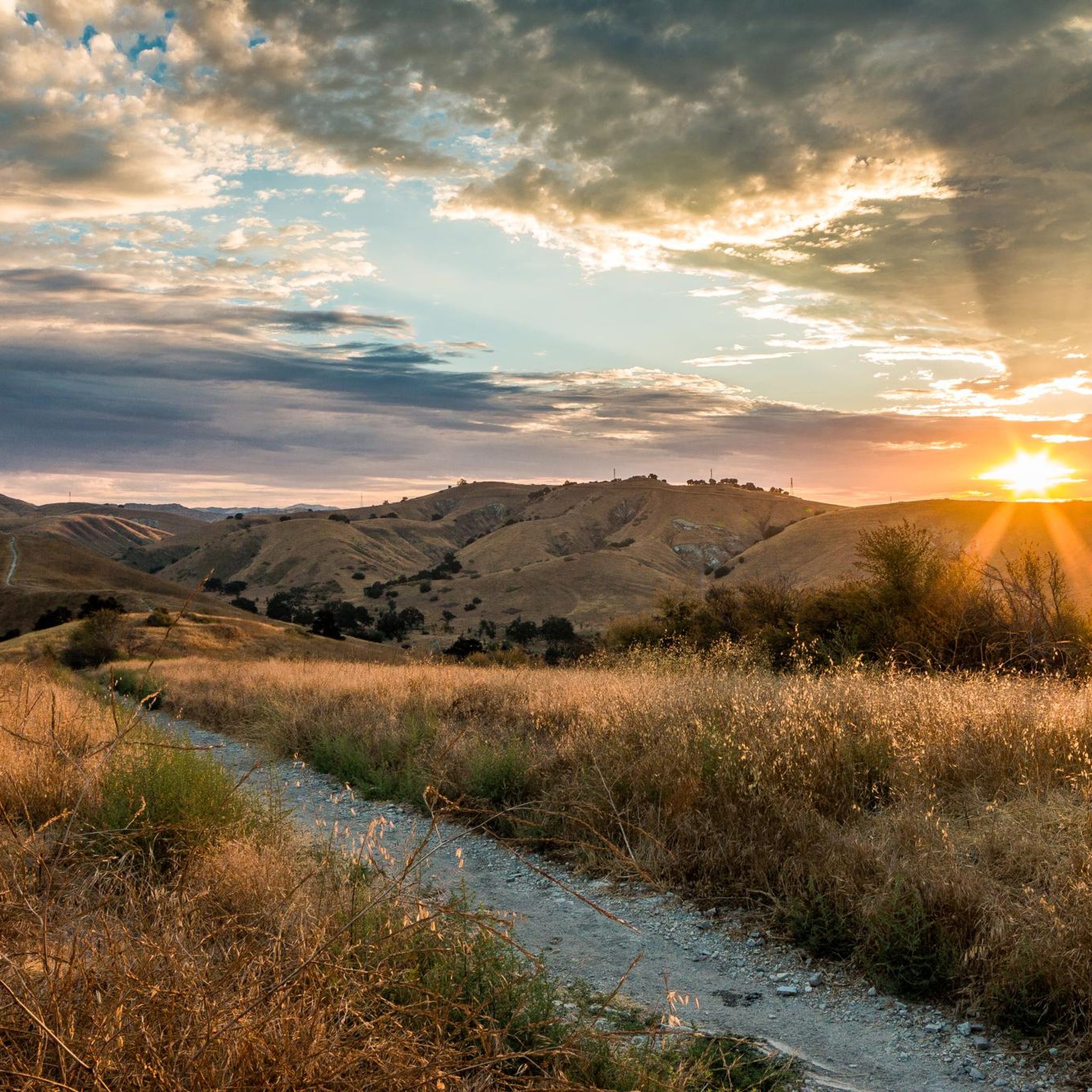
The Grasslands Trail is an easy, beginner-friendly singletrack that connects Malibu State Park to Calabasas. Here you can have beautiful views of open grasslands with gentle terrain and minimal elevation change, making it perfect for new riders. Here you can have beautiful views of open grasslands. The trail is accessed from the parking area along Mulholland Highway.
0
0

This is a handy connector trail, used mostly to go downhill from The Hub to the Bent Arrow Trail, or you can keep going all the way to Mulholland Drive with a climb at the very end.
0
0

Certain sections of the route were closed, so get information beforehand about what is currently open or closed on certain days
0
0
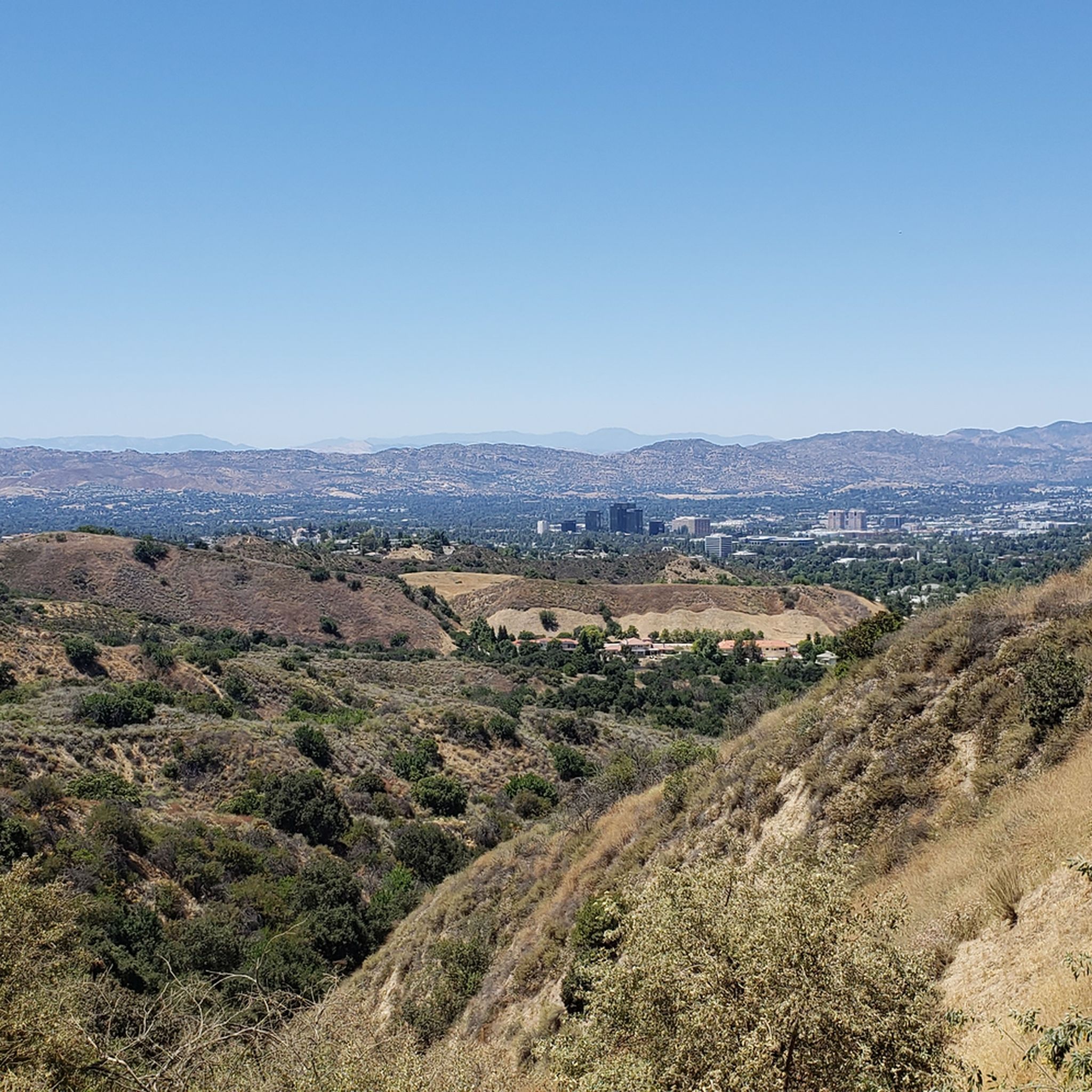
From here there is a perfect 360 degree view. Santa Monica mountains are completely visible in good weather
0
1

Temescal Canyon Road is a great dirt road to ride. Whether you're grinding uphill or zipping down, this is a great path to use to connect the northern and southern paths in the Temescal Peak area.
0
0
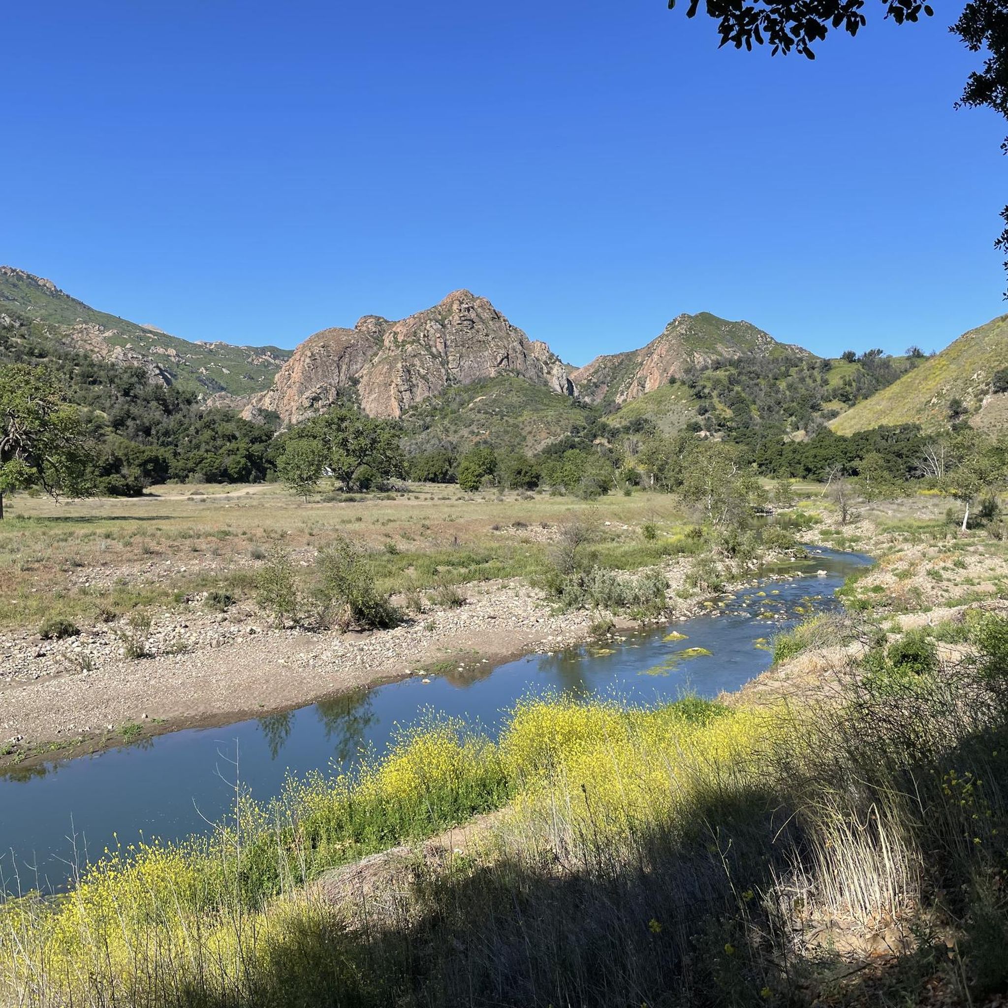
The Helipad in Malibu Creek State Park is the site of where a lot of the filming for the outdoor scenes in the famous television show M*A*S*H were filmed. It's worth pulling over and checking out the area if you're a fan of the show at all. There's a picnic table you can sit at if you want to take a break here.
0
0

If you are a fan of the classic American TV show M*A*S*H, you might enjoy a trail run to the site where the outdoor scenes were filmed. The Helipad is located in Malibu Creek State Park, about 2.5 miles from the park entrance. The trail is mostly flat and wide, except for a steep section near the creek crossing. You can see the remains of two jeeps, a picnic area, and the iconic signpost with the distances to various cities. You can also climb up the hill to get a view of the helipad, where the helicopters used to land. This is a great place to relive some of the memorable moments from the show and take some photos.
1
0
Frequently Asked Questions
How many mountain bike trails are there around Calabasas?
Calabasas and its surrounding areas offer a wide selection of mountain biking routes. There are currently 18 mountain bike trails documented on komoot, catering to various skill levels.
Are there easy mountain bike trails in Calabasas for beginners?
Yes, Calabasas has trails suitable for beginners. An easy option is the East Las Virgenes Canyon – Las Virgenes Creek loop from Lower Sulphur Spring, which is 6.3 miles (10.2 km) long and features gentle elevation changes, making it a good choice for those new to mountain biking.
What kind of terrain can I expect on the Grasslands Trailhead – Century Lake loop?
The Grasslands Trailhead – Century Lake loop from Las Virgenes MWD Open Space is a moderate 14.2 miles (22.9 km) trail that takes you through picturesque oak woodlands and past Century Lake. It offers a mix of natural surfaces typical of the Santa Monica Mountains.
Where can I find advanced mountain biking trails in Calabasas?
For more advanced riders, the Calabasas area offers challenging routes. The Eagle's Rock View – The Hub (Topanga State Park) loop from Louisville High School is a difficult 33.1 miles (53.2 km) path with significant elevation changes and sweeping views. Another difficult option is the Wild Walnut Park – Calabasas Peak loop from Louisville High School.
What natural features or landmarks can I see while mountain biking in Calabasas?
Many trails offer access to stunning natural features. You can ride past Century Lake on the Grasslands Trailhead – Century Lake loop, or explore areas with dramatic rock formations and oak woodlands. The Santa Monica Mountains provide a backdrop of rolling hills and canyons, with many trails offering panoramic views of the Pacific Ocean and the city below.
Are there trails with scenic viewpoints in Calabasas?
Absolutely. The Eagle's Rock View – The Hub (Topanga State Park) loop provides sweeping views of the Pacific Ocean and the Santa Monica Mountains. Additionally, the Calabasas Peak Motorway, while offering limited singletrack, is known for its stunning vistas. You can also find viewpoints like Parker Mesa Overlook in the wider region.
What is the best time of year to go mountain biking in Calabasas?
The best time for mountain biking in Calabasas is typically during the cooler months, from late fall through spring. Summers can be very hot, and rattlesnakes are more active during warmer weather. Riding in the morning or late afternoon can help avoid the midday heat.
Are there any dog-friendly mountain bike trails in Calabasas?
Many trails in the Santa Monica Mountains National Recreation Area, which surrounds Calabasas, allow dogs on leash. It's always best to check specific park regulations before heading out, as rules can vary by preserve or park unit. For example, trails in Upper Las Virgenes Canyon Open Space Preserve generally permit dogs on leash.
What do other mountain bikers enjoy the most about mountain biking in Calabasas?
The mountain biking routes in Calabasas are highly rated by the komoot community, with an average score of 4.4 stars. Riders often praise the diverse landscapes, the mix of challenging climbs and fun descents, and the immersive experience within the oak woodlands and canyons of the Santa Monica Mountains.
Are there any circular mountain bike routes in Calabasas?
Yes, many of the mountain bike trails in Calabasas are designed as loops, offering a complete riding experience without retracing your steps. Examples include the Juan Bautista de Anza Park – Millennium Trail loop and the Grasslands Trailhead – Century Lake loop.
Where can I find parking for mountain biking trails in Calabasas?
Many trailheads in and around Calabasas offer dedicated parking. For instance, routes starting from Las Virgenes MWD Open Space, like the Juan Bautista de Anza Park – Millennium Trail loop, typically have accessible parking areas. It's advisable to check specific trailhead information for parking availability and any potential fees.
Can I reach mountain biking trails in Calabasas using public transport?
While some areas of Calabasas are served by public transport, direct access to many remote trailheads can be limited. Planning your route in advance and checking local bus schedules for stops near major parks or trail access points is recommended. Often, a combination of public transport and a short ride or walk may be necessary.
Are there any waterfalls or rock pools accessible by mountain bike in Calabasas?
While direct mountain bike access to waterfalls can be limited, the region does feature natural water attractions. The Malibu Creek Rock Pools are a notable feature in Malibu Creek State Park, which is a popular area for mountain biking. You might also find Temescal Canyon Falls in the wider area, though access might involve hiking sections.
Most popular routes around Calabasas
Most popular attractions around Calabasas

Get inspired with the komoot mobile app


Explore more
Browse the best MTB trails in other regions.
