The best gravel rides around Inglewood
34
riders
4
rides
Gravel biking around Inglewood offers access to diverse terrain, despite the city itself featuring mostly paved paths. The region benefits from a Mediterranean-like climate, providing mild conditions for outdoor activities year-round. While direct gravel trails within Inglewood are limited, its strategic location provides convenient access to the broader Los Angeles area's unpaved roads and trails. This includes areas like the Santa Monica Mountains and sections of the Ballona Creek Bike Path, which offer varied gravel riding experiences.
Best gravel bike…
Last updated: October 1, 2026
11
riders
74.7km
05:53
1,350m
1,350m
Hard gravel ride. Very good fitness required. Mostly paved surfaces. Suitable for all skill levels.
12
riders
42.9km
03:16
930m
930m
Hard gravel ride. Very good fitness required. Mostly paved surfaces. Suitable for all skill levels.

7
riders
92.3km
06:11
1,200m
1,200m
Hard gravel ride. Very good fitness required. Mostly paved surfaces. Suitable for all skill levels.
4
riders
62.4km
04:39
1,350m
1,350m
Hard gravel ride. Very good fitness required. Mostly paved surfaces. Suitable for all skill levels.
Our route recommendations are based on thousands of hikes, rides, and runs completed by other people on komoot.
Start today with a free account
Your next adventure awaits.
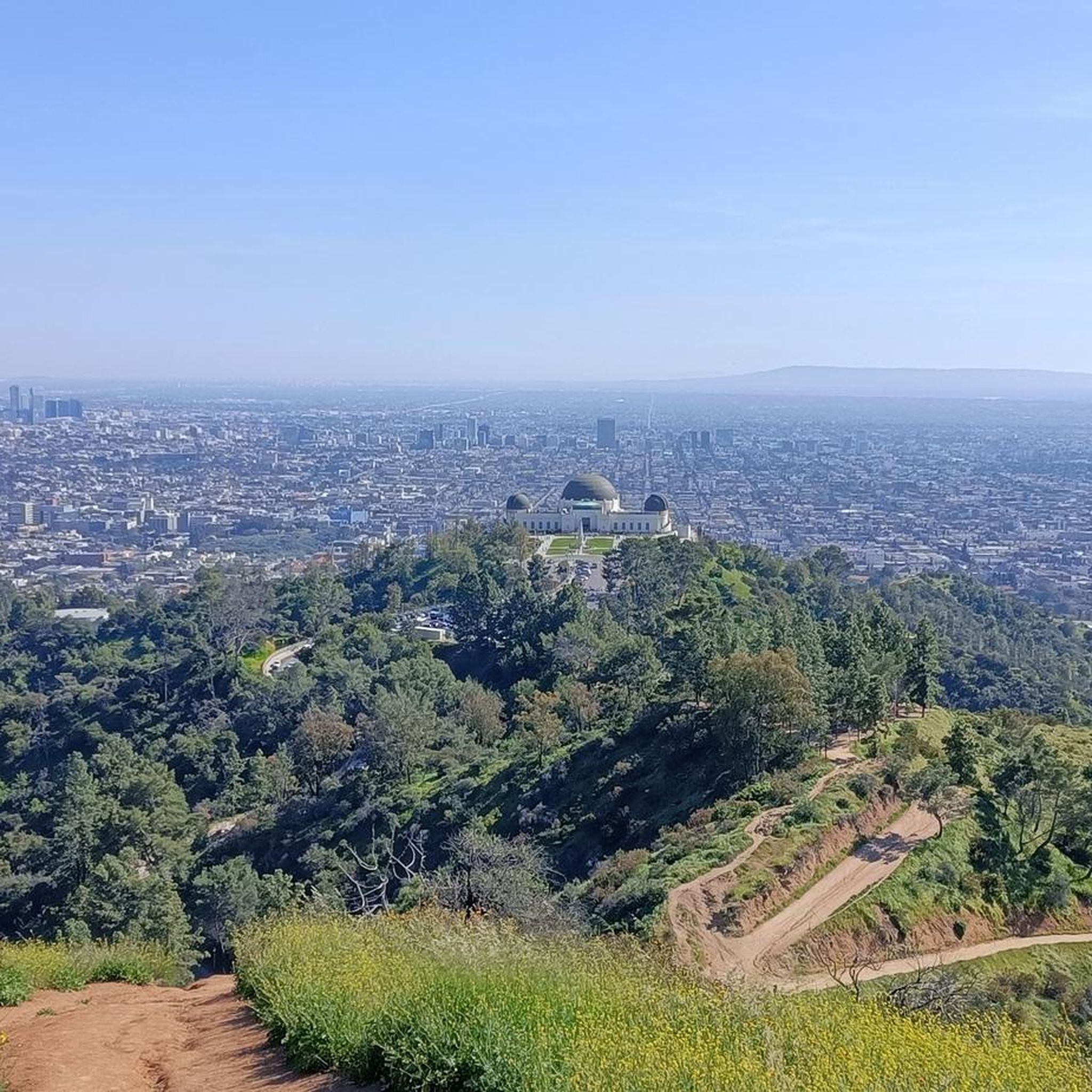
Tips from the Community


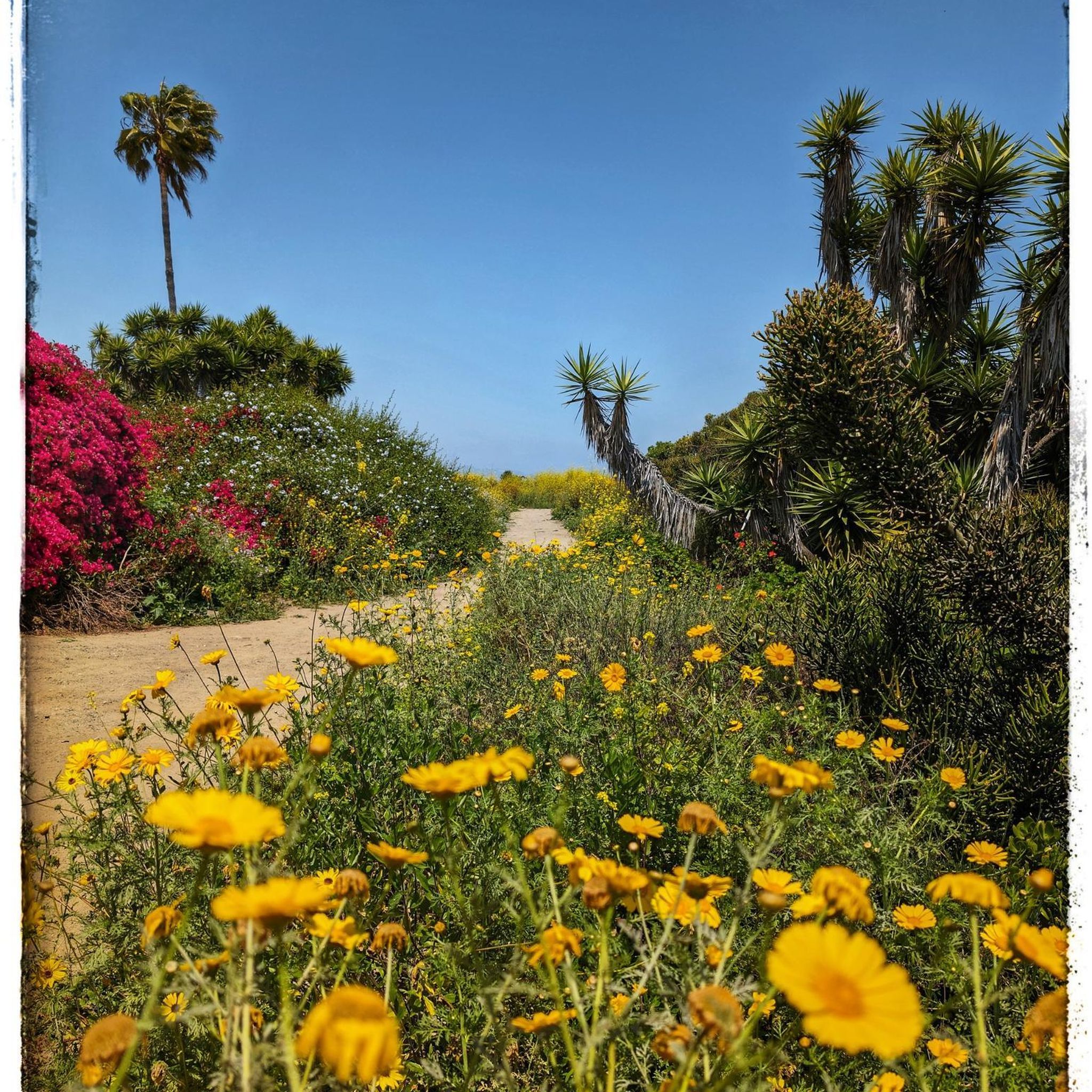
This park has an old fire road — perfect for non-technical riders — and a more challenging singletrack trail that more or less parallels the fire road. Both run north along the ridge, eventually connecting with the dirt/gravel section of Mulholland Drive.
0
0

Long stretch of car-free public beachfront, only accessible by an excellent bike/pedestrian boardwalk trail.
0
0

Pedalers Fork is a unique combination of a restaurant, bar, coffee shop, and boutique bike shop in the heart of Calabasas. It offers delicious farm-to-table dining and artisan coffee with a casual vibe and a great patio, making it a fantastic place to relax after a ride.
0
0

San Vicente Mountain Park, located 2.7 miles west of the 405 freeway on an unpaved section of Mulholland Drive, has awesome 360-degree views and access to extensive hiking, mountain biking, and equestrian trails. The 10.2-acre park has public picnic areas, bathrooms, and is a gateway to Westridge Canyonback Park and the 20,000-acre “Big Wild” wilderness area. A short walk along a wide dirt road leads visitors to this historic site, which once housed a Nike-Ajax missile radar station during the Cold War (1956–1968). The original radar tower now provides panoramic views of the Santa Monica Mountains, Encino Reservoir, San Fernando Valley, and Los Angeles Basin, making it one of the best spots in the region to watch a sunset.
1
0
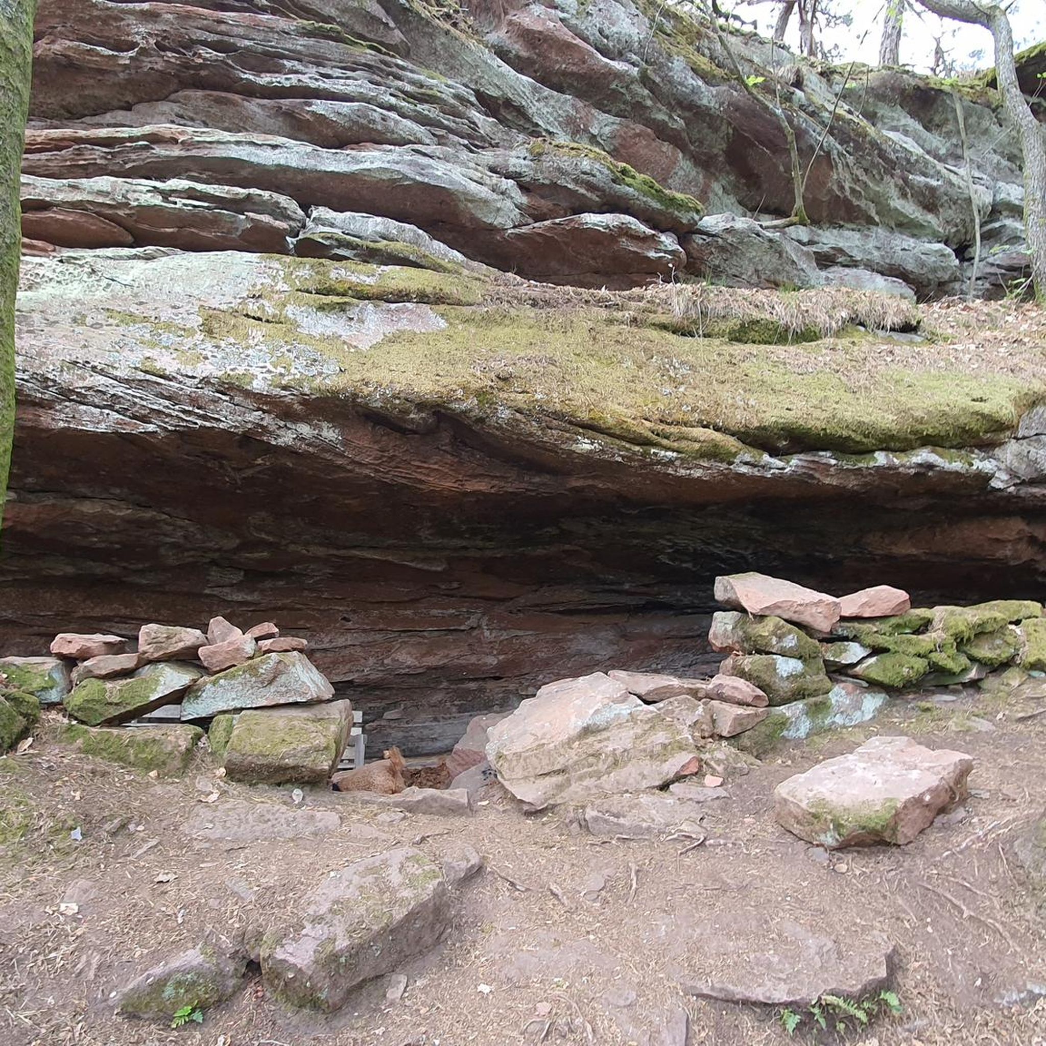
This is a handy connector trail, used mostly to go downhill from The Hub to the Bent Arrow Trail, or you can keep going all the way to Mulholland Drive with a climb at the very end.
0
0
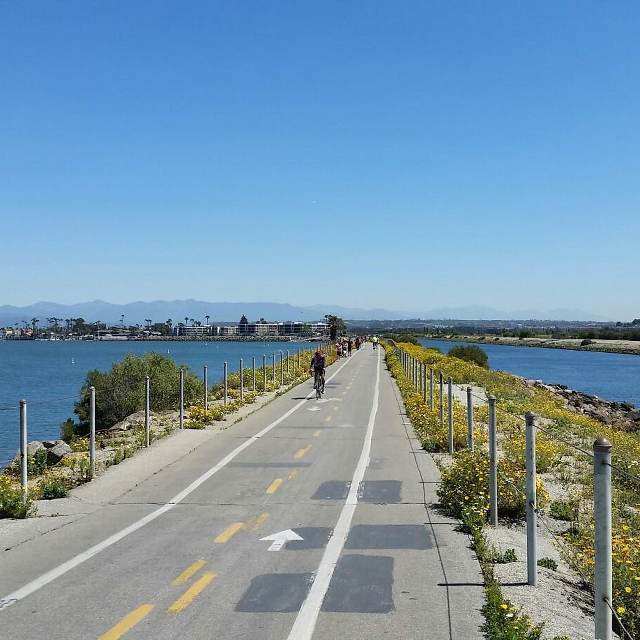
The South Bay Bike Path is a 22-mile paved trail running from Will Rogers State Beach to Torrance County Beach, mostly along the beach with a few short sections on city streets. The 14-foot-wide trail is shared by cyclists, runners, skaters, wheelchair riders, and pedestrians. Riders can travel to all piers and Venice Beach's Strand. Rental stands along the path offer bicycles, rollerblades, and scooters. The path is generally smooth, despite being busy, and sometimes sandy after wind blowing. Traveling the trail in a manual wheelchair or skateboard is mostly obstacle-free.
0
0

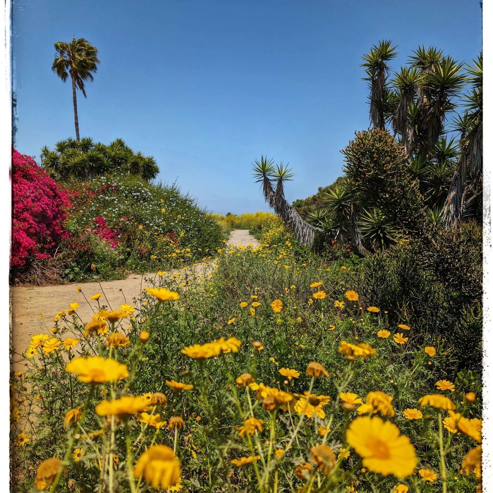
Marina del Rey is the largest man-made harbor in North America, accommodating at least 5,000 boats. As you pass through the harbor, its vast scale and economic significance are apparent. The harbor also gives its name to the neighborhood, which is traversed by the Marvin Braude Coastal Bike Trail.
0
0
Frequently Asked Questions
How many gravel bike trails are available around Inglewood?
There are 4 gravel bike trails available around Inglewood on komoot. These routes offer a variety of experiences, from moderate urban loops to more challenging mountain routes in the broader Los Angeles area.
What are the difficulty levels of gravel bike trails near Inglewood?
The gravel bike trails near Inglewood range in difficulty. You'll find 1 moderate route and 3 difficult routes. For example, the Rivers of the World Mural wall – View of Beverly Hills loop from Alsace is a moderate option, while routes like West Mandeville Fire Road – San Vicente Mountain Viewpoint loop from Westwood/Rancho Park are considered difficult due to significant elevation gain.
What is the best time of year for gravel biking in Inglewood?
Inglewood benefits from a Mediterranean-like climate, offering mild, wet winters and warm, dry summers. This provides pleasant weather for outdoor activities, including gravel biking, year-round. However, the spring and fall months often provide the most comfortable temperatures for longer rides.
Are there any beginner-friendly gravel bike trails near Inglewood?
While Inglewood itself features mostly paved paths, the broader Los Angeles region offers options. The Rivers of the World Mural wall – View of Beverly Hills loop from Alsace is a moderate route that provides a more accessible riding experience. For those new to gravel riding, areas like Sycamore Canyon in Point Mugu State Park (though further afield) are often recommended for their light grade.
What kind of views can I expect on gravel bike routes near Inglewood?
Many routes offer panoramic views, especially those venturing into the Santa Monica Mountains. For instance, the West Mandeville Fire Road – San Vicente Mountain Viewpoint loop from Westwood/Rancho Park provides stunning vistas from the San Vicente Mountain Viewpoint. You can also expect a mix of urban landscapes and natural scenery on other trails.
Are there any circular gravel bike trails near Inglewood?
Yes, all the highly-rated gravel bike routes listed in this guide are circular. Examples include the challenging The Groves Overlook – West Mandeville Fire Road loop from Expo/Sepulveda and the longer San Vicente Mountain Viewpoint – Beach Green - The Promenade loop from Palms.
Can I find gravel sections on the Ballona Creek Bike Path?
The Ballona Creek Bike Path is primarily paved, but some segments may offer unpaved sections, providing a gravel riding experience. It can also be incorporated into longer loops that connect to more dedicated gravel trails in the wider Los Angeles area.
What attractions or points of interest are near the gravel bike routes?
While the gravel routes themselves focus on natural and scenic areas, you can find various attractions nearby. For example, you might be close to coastal highlights like Ocean Front Walk or El Segundo Beach. Other points of interest include the Ballona Wetlands Ecological Reserve, offering a chance to observe local wildlife.
Is parking available for gravel bike trails near Inglewood?
Parking availability varies by trailhead. For routes that start in urban areas like Westwood/Rancho Park or Expo/Sepulveda, street parking or public parking lots may be available. When planning your ride, it's always advisable to check the specific starting point of your chosen route for detailed parking information.
How can I access gravel trails near Inglewood using public transport?
Inglewood's strategic location within the Los Angeles Metro area means many trailheads are accessible via public transport. Routes starting from areas like Westwood/Rancho Park, Expo/Sepulveda, or Palms are often well-connected by Metro rail or bus lines, allowing you to reach your starting point without a car. Check the specific route's starting location for the best public transport options.
What wildlife might I spot on gravel trails near Inglewood?
While direct wildlife sightings depend on the specific trail and time of day, areas like the Ballona Wetlands Ecological Reserve, which can be near some routes, are known for birdwatching and other local fauna. In more natural settings like the Santa Monica Mountains, you might encounter various birds, small mammals, and reptiles.
Most popular attractions around Inglewood

Get inspired with the komoot mobile app


Explore more
Browse the best Gravel rides in other regions.
