The best walks and hikes around Inglewood
4.6
(82)
2,965
hikers
93
hikes
Hiking around Inglewood, California, offers diverse outdoor experiences across varied landscapes. The region features extensive parks with numerous trails, providing scenic overlooks and opportunities to observe local wildlife. Notable areas include Kenneth Hahn State Recreation Area and Baldwin Hills Scenic Overlook, which present a mix of chaparral, grasslands, and oak woodlands. The terrain primarily consists of rolling hills and parkland, with trails suitable for different fitness levels.
Best hiking trails around Inglewood
- The most popular hiking route is Kenneth Hahn State Recreational Area loop — Kenneth Hahn State Recreational Area, a 3.1 miles (5.0 km) trail that takes 1 hour 24 minutes to complete. This easy route offers panoramic city views and opportunities for wildlife observation.
- Another top favourite among local hikers is Vistas, waterfall, lake & memorial hike – Kenneth Hahn State Recreational Area, an easy 3.0 miles (4.8 km) path. This trail provides diverse scenery including vistas, a waterfall, and a lake within the park.
- Local hikers also love the Baldwin Hills – Kenneth Hahn Recreation Area, a 2.4 miles (3.8 km) trail leading through varied terrain with diverse wildflowers, often completed in about 1 hour 5 minutes.
- Hiking around Inglewood is defined by scenic overlooks, extensive parklands, and areas of chaparral and oak woodlands. The network offers options for easy, moderate, and challenging ability levels.
- The routes in Inglewood are highly rated by the komoot community with an average score of 4.6 stars from over 70 reviews. More than 2,200 hikers have used komoot to explore Inglewood's varied terrain.
Last updated: June 25, 2026
2
hikers
2.38km
00:37
10m
10m
Easy hike. Great for any fitness level. Easily-accessible paths. Suitable for all skill levels.
2.41km
00:39
10m
70m
Easy hike. Great for any fitness level. Easily-accessible paths. Suitable for all skill levels.

Sign up for free
688m
00:11
0m
0m
Easy hike. Great for any fitness level. Easily-accessible paths. Suitable for all skill levels.
4.0
(1)
33
hikers
5.03km
01:24
100m
100m
Easy hike. Great for any fitness level. Easily-accessible paths. Suitable for all skill levels.

4.0
(1)
31
hikers
Easy hike. Great for any fitness level. Easily-accessible paths. Suitable for all skill levels.
Get access to more routes and recommendations from other explorers.
Sign up for free
Already have an account?
Our route recommendations are based on thousands of hikes, rides, and runs completed by other people on komoot.
Start today with a free account
Your next adventure awaits.
Login or Signup
Tips from the Community

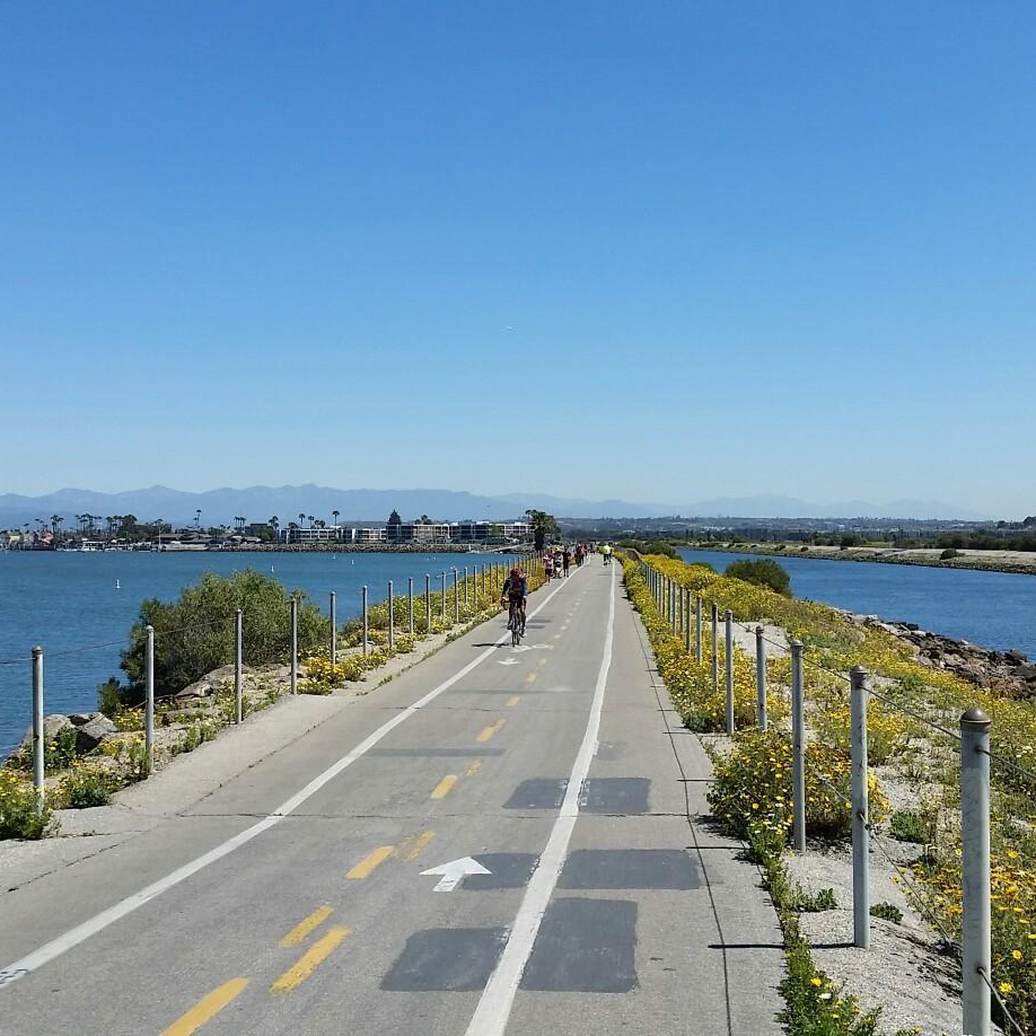
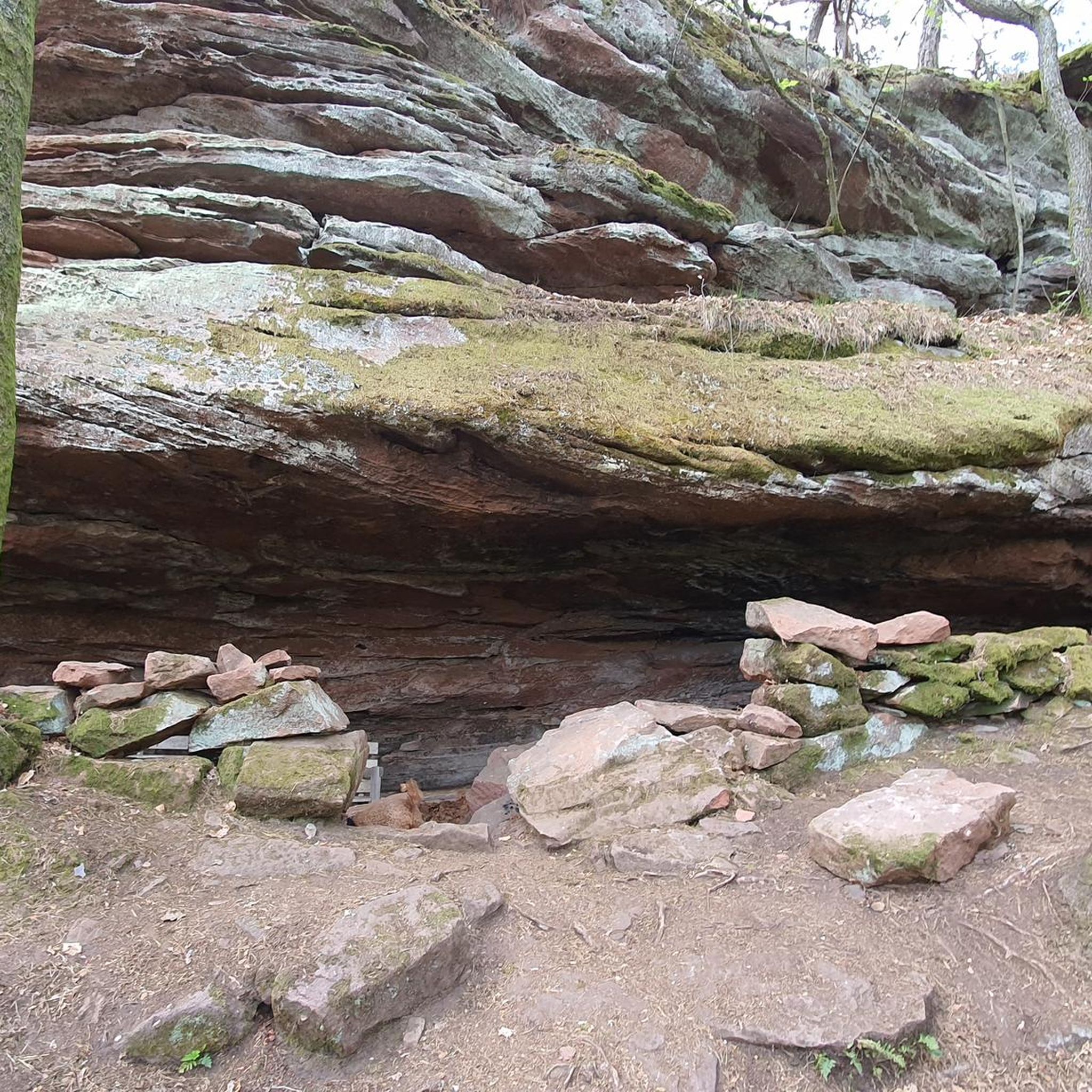
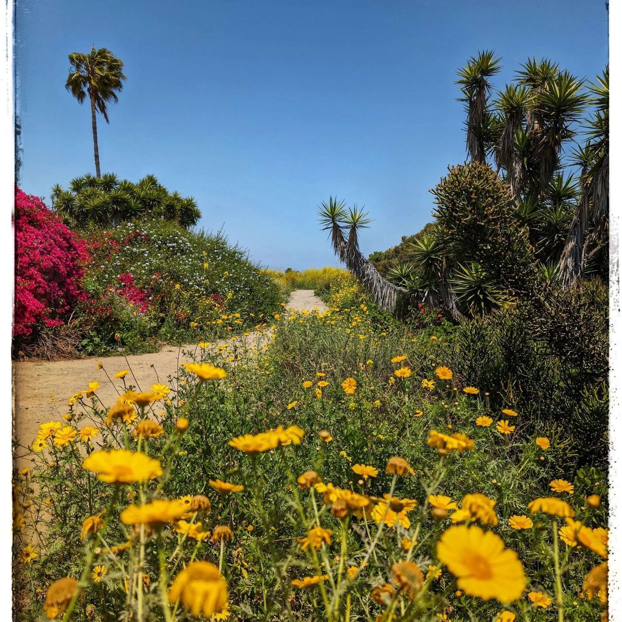
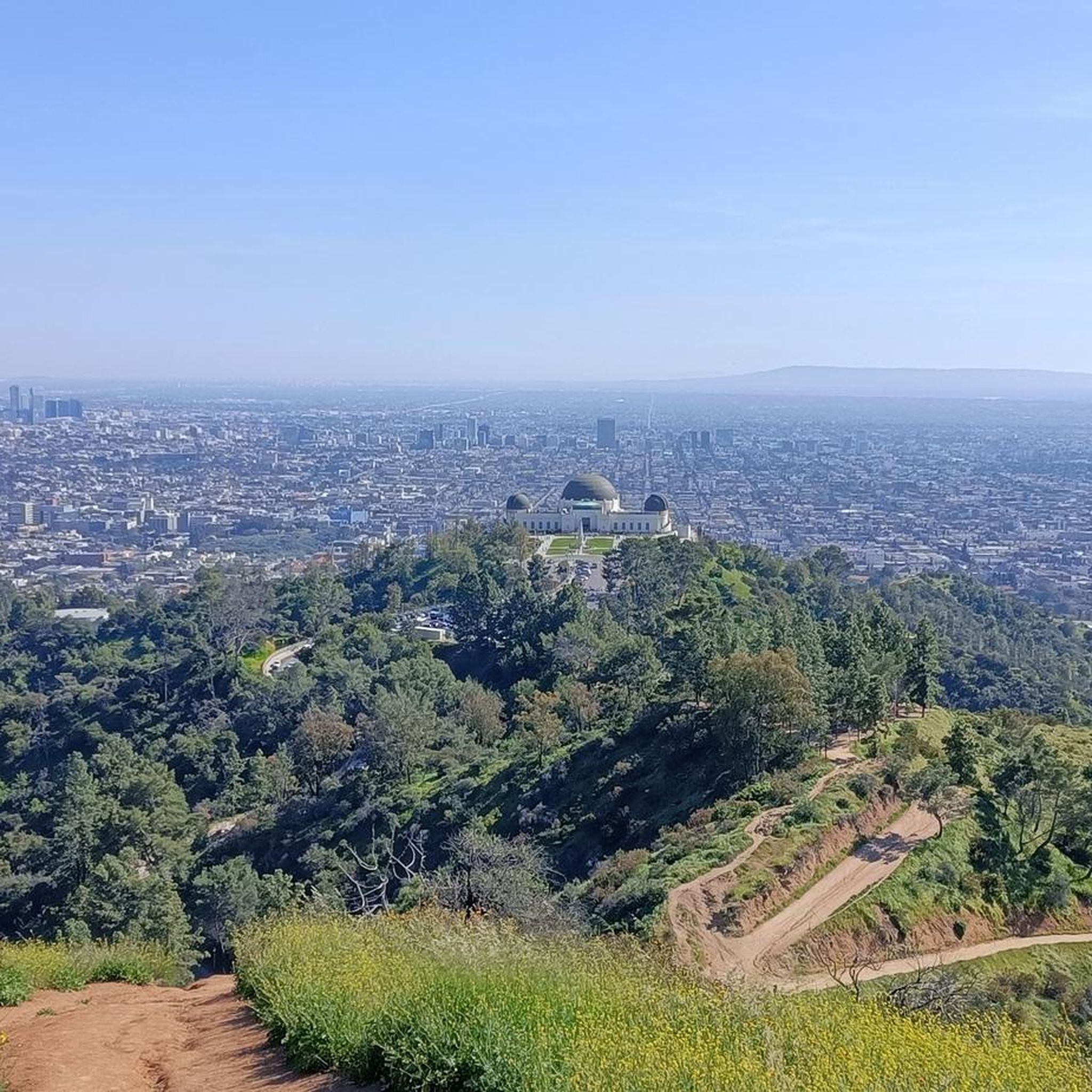
With narrow paths, beautiful vistas, ponds covered in lily pads and a picture postcard view towards Downtown with the mountains rising behind, Kenneth Hahn State Recreational Area is the perfect place to escape the trouble of the big city. It is also known als L. A.s "Central Park" with nice hiking trails and large enough for a longer run.
0
0
With narrow paths, beautiful vistas, ponds covered in lily pads and a picture postcard view towards Downtown with the mountains rising behind, Kenneth Hahn State Recreational Area is the perfect place to escape the trouble of the big city. It is also known als L. A.s "Central Park" with nice hiking trails and large enough for a longer hike or several smaller walks.
0
0
Frequently Asked Questions
What types of hiking trails can I find around Inglewood?
Inglewood offers a diverse range of hiking trails, primarily characterized by rolling hills and parklands. You'll find paths through chaparral, grasslands, and oak woodlands, with options suitable for various fitness levels. Many trails provide scenic overlooks and opportunities for wildlife observation.
Are there easy hiking trails suitable for beginners or families in Inglewood?
Yes, Inglewood has many easy trails perfect for beginners and families. For instance, the Kenneth Hahn State Recreational Area loop is an easy 3.1-mile route offering panoramic city views. Another great option is the Vistas, waterfall, lake & memorial hike, also in Kenneth Hahn State Recreational Area, which is 3.0 miles and features diverse scenery including a waterfall and a lake.
Where can I find trails with scenic views or landmarks near Inglewood?
For breathtaking views, the Kenneth Hahn State Recreation Area and the Baldwin Hills Scenic Overlook are excellent choices. Kenneth Hahn offers panoramic city views, while the Baldwin Hills Scenic Overlook provides a 1.4-mile loop trail with diverse wildflowers and birdwatching opportunities. Franklin Canyon Park, a short drive away, features a three-acre lake and is surrounded by chaparral and oak woodlands, ideal for birding.
Are there any circular hiking routes in the Inglewood area?
Yes, several trails around Inglewood are circular. A popular choice is the Kenneth Hahn State Recreational Area loop, which is an easy 3.1-mile path. The Baldwin Hills Scenic Overlook also features a 1.4-mile loop trail, offering a moderate hike with great views.
What do other hikers enjoy most about the trails in Inglewood?
The trails around Inglewood are highly rated by the komoot community, with an average score of 4.6 stars from over 70 reviews. Hikers frequently praise the scenic overlooks, the diverse natural features like wildflowers and woodlands, and the variety of trails suitable for different fitness levels. The opportunities for wildlife observation are also a highlight for many.
Are there any trails with waterfalls near Inglewood?
Yes, the Vistas, waterfall, lake & memorial hike within Kenneth Hahn State Recreational Area specifically features a waterfall as part of its diverse scenery. This easy 3.0-mile trail also includes vistas and a lake.
What is the best time of year to go hiking in Inglewood?
Inglewood and the wider Southern California region generally offer pleasant hiking conditions year-round. Spring brings blooming wildflowers, while fall provides cooler temperatures. Even winter hiking is possible, though it's always advisable to check local weather forecasts before heading out.
Are there dog-friendly hiking trails in Inglewood?
Many parks and trails in the Inglewood area are dog-friendly, though specific rules can vary by location. It's always recommended to check the regulations of individual parks or trails, such as Kenneth Hahn State Recreation Area or Baldwin Hills Scenic Overlook, regarding leashes and pet waste before your visit.
Where can I find parking for hiking trails near Inglewood?
Several popular hiking spots near Inglewood offer accessible parking. For example, the Baldwin Hills Scenic Overlook provides public restrooms and accessible parking. Franklin Canyon Park also has accessible parking and restrooms available for visitors.
Can I reach hiking trails near Inglewood using public transport?
Public transport options are available to reach some of the major parks near Inglewood. For instance, Kenneth Hahn State Recreational Area and Baldwin Hills Scenic Overlook are accessible via public transport, though specific routes and schedules should be checked with local transit authorities for the most up-to-date information.
Are there any challenging hikes for experienced hikers near Inglewood?
While many trails in Inglewood are easy to moderate, the broader region offers more challenging options. For example, the East Fork Trail in Sheep Mountain Wilderness is a challenging 10.2-mile out-and-back trail. Within the immediate Inglewood area, some routes like the Baldwin Hills loop from NPR West offer a moderate challenge with a greater elevation gain over 5.5 miles.
What natural features can I expect to see on hikes around Inglewood?
Hikes around Inglewood showcase diverse natural features. You can expect to see chaparral, grasslands, and oak woodlands. Many trails offer opportunities for birdwatching, especially in areas like Franklin Canyon Park with its lake and pond, which are home to birds in the Pacific Flyway. Wildflowers are also a common sight, particularly at the Baldwin Hills Scenic Overlook.
Most popular attractions around Inglewood

Get inspired with the komoot mobile app


Explore more
Browse the best Hikes in other regions.
