The best gravel rides in Ozark-St. Francis National Forest
113
riders
9
rides
Gravel biking in Ozark-St. Francis National Forest offers an extensive network of unpaved roads and trails across 1.2 million acres. The terrain features rolling hills, dense oak-hickory and pine forests, and significant mountainous areas. Riders can expect diverse landscapes, including clear streams, river valleys, and unique rock outcrops, providing varied challenges and scenic views. This region is well-suited for gravel cycling due to its mix of hardpack gravel and abandoned 4x4 roads.
Best gravel bike trails in Ozark-St. Francis National Forest
- The most popular gravel bike trail is Lake Wedington loop from Lake Wedington, a 21.0 miles (33.8 km) trail that takes 2 hours 11 minutes to complete. This moderate route winds through forested areas around Lake Wedington.
- Another top favourite among local gravel bikers is Lick Branch Trailhead loop from Hare Mountain Special Interest Area, a difficult 44.5 miles (71.7 km) path. This route features significant elevation gains through the rugged Ozark landscape.
- Local gravel bikers also love the Cave Mountain loop from Red Star, a 40.2 miles (64.8 km) trail leading through mountainous terrain, often completed in about 4 hours 57 minutes.
- Gravel biking in Ozark-St. Francis National Forest is defined by rolling hills, dense oak-hickory forests, and clear streams. The network offers options for various ability levels, from moderate loops to challenging routes with substantial elevation.
- The guide includes highly-rated routes that showcase the best of the region's landscape. More than 80 gravel bikers have used komoot to explore Ozark-St. Francis National Forest's varied terrain.
Last updated: August 21, 2026
9
riders
61.9km
04:51
1,020m
1,020m
Hard gravel ride. Very good fitness required. Mostly paved surfaces. Suitable for all skill levels.
7
riders
131km
09:52
2,490m
2,490m
Hard gravel ride. Very good fitness required. Mostly paved surfaces. Suitable for all skill levels.

Sign up for free
33
riders
72.4km
06:30
1,140m
1,140m
Hard gravel ride. Very good fitness required. Mostly paved surfaces. Suitable for all skill levels.
26
riders
102km
07:58
1,750m
1,750m
Hard gravel ride. Very good fitness required. Mostly paved surfaces. Suitable for all skill levels.
5
riders
30.1km
02:04
280m
280m
Moderate gravel ride. Good fitness required. Mostly paved surfaces. Suitable for all skill levels.
Get access to more routes and recommendations from other explorers.
Sign up for free
Already have an account?
Our route recommendations are based on thousands of hikes, rides, and runs completed by other people on komoot.
Start today with a free account
Your next adventure awaits.
Login or Signup
Popular around Ozark-St. Francis National Forest
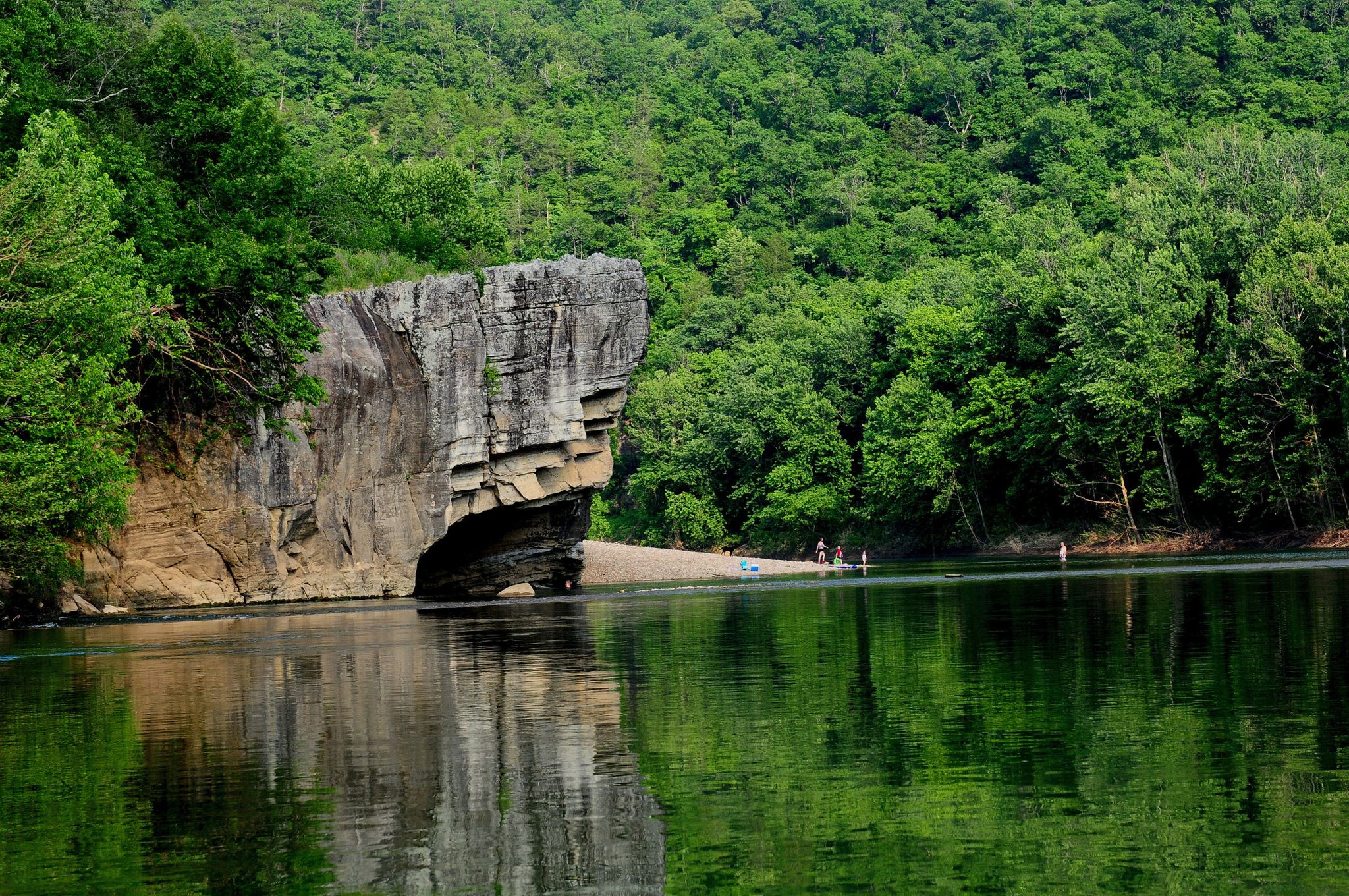
Ozark Highlands Trail: Falling Water Creek Trailhead to Dillard's Ferry — Hiking the Buffalo River corridor
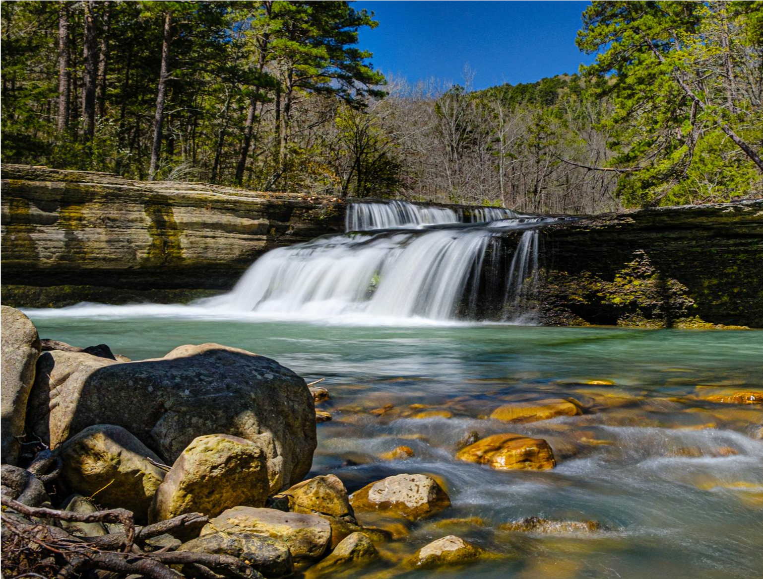
Ozark Highlands Trail — 200 miles of backcountry beauty
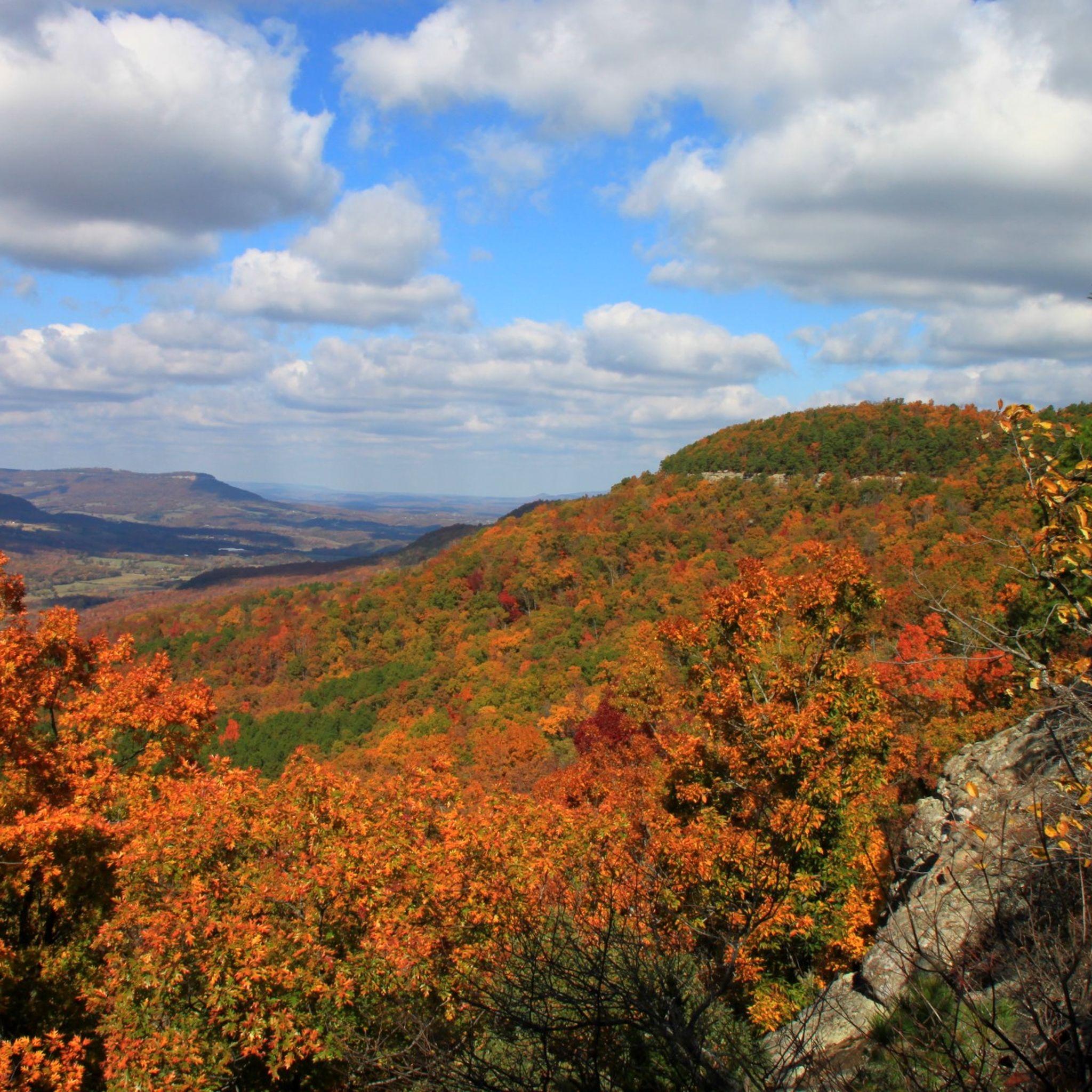
Hiking in Ozark-St. Francis National Forest
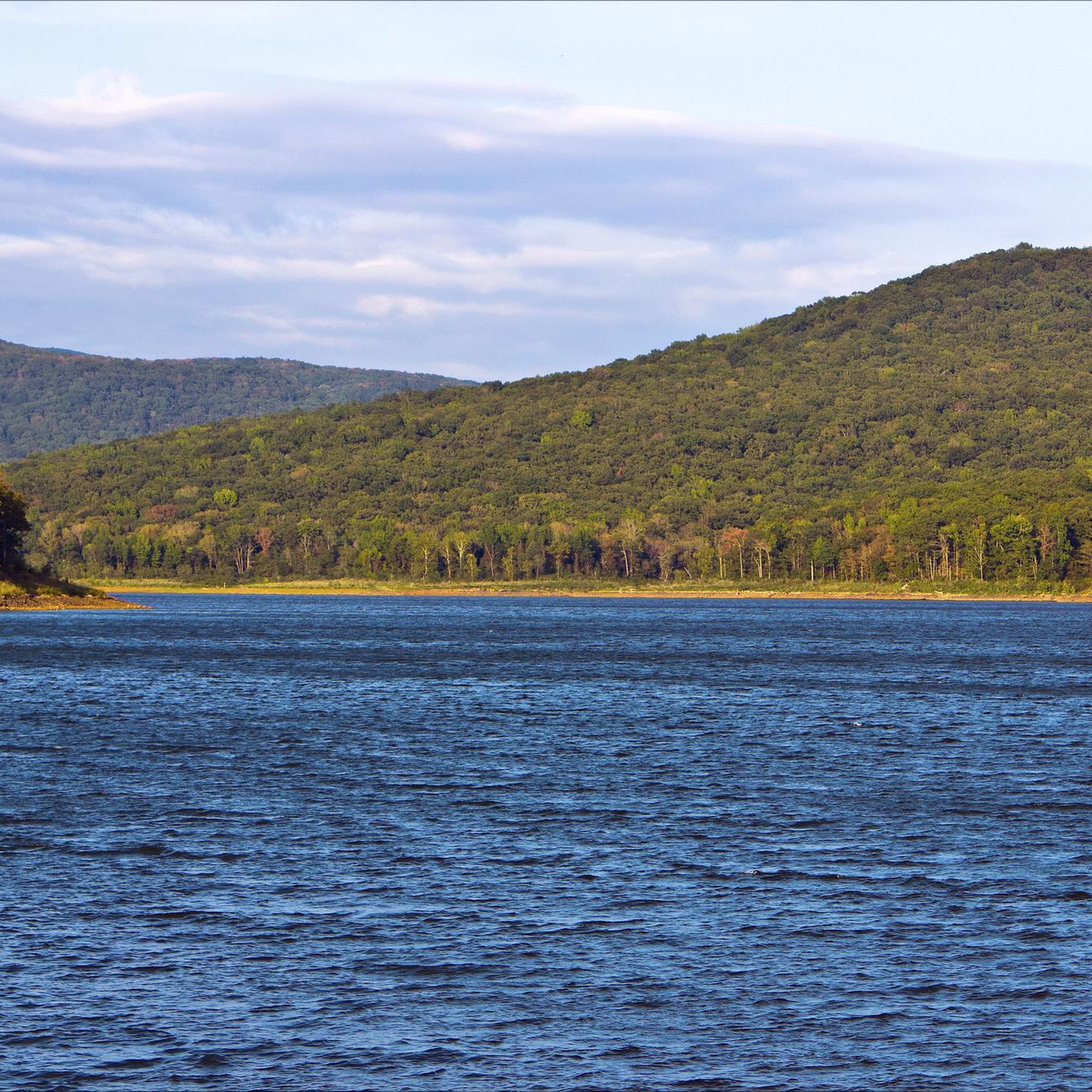
MTB Trails in Ozark-St. Francis National Forest
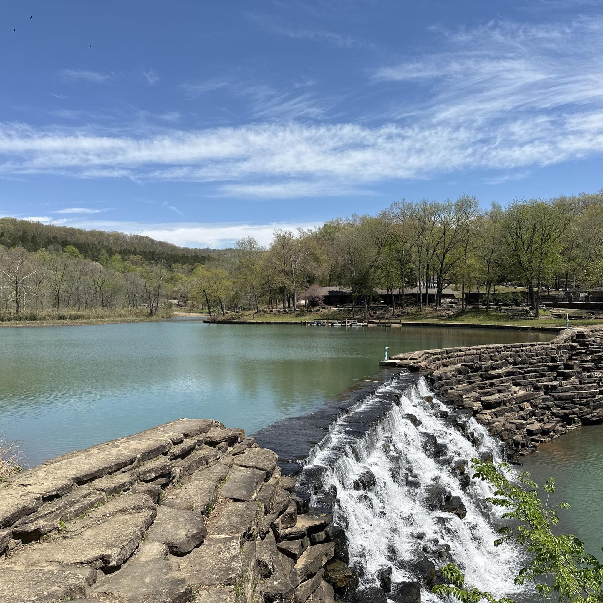
Cycling in Ozark-St. Francis National Forest
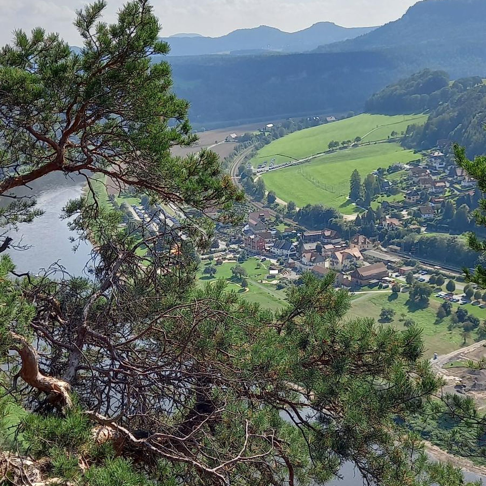
Road Cycling Routes in Ozark-St. Francis National Forest

Running Trails in Ozark-St. Francis National Forest
Other adventures in Ozark-St. Francis National Forest

Tips from the Community

This trailhead is a popular access point for the Ozark Highlands Trail (OHT) for both day and long-distance hikers. There is a small parking lot and an information kiosk with a map and trail register, and a small campsite, with space for a few tents, along with a large fire ring. There is no restroom or drinking water; however, the trailhead sits along the creek of the same name, which is one of many reliable water sources in the area.
0
0

An 82 acre lake for swiming, fishing, and hiking. There are also 18 campsites and 28 picnic areas including a pavilion.
0
0
Frequently Asked Questions
What kind of terrain can I expect on gravel bike trails in Ozark-St. Francis National Forest?
The Ozark-St. Francis National Forest offers a diverse gravel biking experience. You'll encounter rolling hills, dense oak-hickory and pine forests, and significant mountainous areas. The trails range from hardpack gravel roads to more rugged, abandoned 4x4 paths, often winding alongside clear streams and through river valleys. Expect varied challenges, including substantial elevation gains on some routes.
Are there any easy or beginner-friendly gravel bike routes in the Ozark-St. Francis National Forest?
Yes, the forest offers options suitable for beginners. For a moderate and scenic ride, consider the Lake Wedington loop from Lake Wedington. This 21-mile route winds through forested areas around Lake Wedington and has less elevation gain compared to many other trails in the region, making it a good starting point.
What are some of the natural features or landmarks I might see while gravel biking in the forest?
The Ozark-St. Francis National Forest is rich in natural beauty. You can expect to see numerous rivers and clear streams, such as Richland Creek, and unique geological formations like bluffs and rock outcrops. While specific routes might not pass directly by all, notable attractions in the wider area include Alum Cove Natural Bridge and Pedestal Rock. You can also find scenic viewpoints like the CCC Overlook Shelter and the White Rock Mountain Recreation Area, which offer stunning panoramic views.
Are there any challenging gravel bike routes for experienced riders?
Absolutely. For experienced riders seeking a challenge, the Ozark-St. Francis National Forest has several difficult routes with significant elevation gains. The Lick Branch Trailhead loop from Hare Mountain Special Interest Area is a demanding 44.5-mile path that features substantial climbing through the rugged Ozark landscape. Another challenging option is the Cave Mountain loop from Red Star, a 40.2-mile trail through mountainous terrain.
What is the best time of year to go gravel biking in Ozark-St. Francis National Forest?
Spring and Fall are generally the best seasons for gravel biking in the Ozark-St. Francis National Forest. The weather is milder, and the natural scenery is particularly vibrant with spring blooms or autumn foliage. Summers can be hot and humid, while winters may bring colder temperatures and potential for snow or ice, especially at higher elevations, which could affect trail conditions.
Are there any family-friendly gravel biking options or trails suitable for children?
While many routes in the Ozark-St. Francis National Forest feature significant elevation and rugged terrain, families might find the less technical sections around recreational areas more suitable. The Lake Wedington loop from Lake Wedington, being a moderate route with less extreme elevation, could be a good option for families with some biking experience, though parental discretion is advised based on the child's skill level and endurance.
Can I bring my dog on the gravel bike trails?
Generally, dogs are permitted on trails within the Ozark-St. Francis National Forest, but they must be kept on a leash. It's always a good idea to check specific trail regulations before you go, as some areas or designated wilderness sections might have different rules. Ensure your dog is accustomed to longer rides and the terrain, and always carry enough water for both of you.
Are there any waterfalls along the gravel biking routes?
While the Ozark-St. Francis National Forest is known for its numerous clear streams and water features, including waterfalls, most gravel biking routes are on forest roads and multi-use trails. Some trails may pass near or offer access to areas with waterfalls, such as those found in the Richland Creek Wilderness area. For example, the Lake Trail - Devil's Den State Park highlight mentions a waterfall, which might be accessible from nearby gravel roads or require a short hike.
Where can I find parking at trailheads for gravel biking?
Parking is typically available at designated trailheads and recreational areas throughout the Ozark-St. Francis National Forest. For routes like the Lake Wedington loop, you can usually find parking at Lake Wedington itself. For other routes, access points like Hare Mountain Special Interest Area or Red Star often have parking facilities. Always check maps or route descriptions for specific parking locations before heading out.
Are there any permits required for gravel biking in the Ozark-St. Francis National Forest?
For general recreational gravel biking on forest roads and multi-use trails, permits are typically not required. However, if you plan to camp overnight or use specific developed recreational sites, fees or permits might apply. It's always advisable to check the official U.S. Forest Service website for the Ozark-St. Francis National Forest for the most current regulations regarding permits and fees.
What do other gravel bikers enjoy most about the Ozark-St. Francis National Forest?
Gravel bikers frequently praise the extensive network of unpaved roads and trails, offering a true sense of adventure and solitude. The diverse topography, from rolling hills to challenging climbs, provides varied experiences. Many appreciate the stunning natural beauty, including the dense forests, clear streams, and unique rock formations. The opportunity to explore remote areas and enjoy the quiet wilderness is a common highlight.
Are there any circular gravel biking routes available?
Yes, many of the gravel biking routes in the Ozark-St. Francis National Forest are designed as loops, allowing you to start and end at the same point. Examples include the Lake Wedington loop from Lake Wedington, the Lick Branch Trailhead loop from Hare Mountain Special Interest Area, and the Cave Mountain loop from Red Star. These circular routes make planning your ride more convenient.
Most popular routes in Ozark-St. Francis National Forest
Most popular attractions in Ozark-St. Francis National Forest

Get inspired with the komoot mobile app


Explore more
Browse the best Gravel rides in other regions.
