The best gravel rides around Brant
4.6
(12)
142
riders
4
rides
Gravel biking around Brant offers an extensive network of trails across diverse landscapes. The region is characterized by its significant Grand River valley, which provides scenic corridors and mixed-surface mileage. Riders encounter Carolinian forests, former railway beds with generally flat grades and crushed stone surfaces, and areas featuring unique geological formations. The terrain primarily consists of hard-packed gravel trails and lesser-used roads, with some paved sections.
Best gravel bike trails around Brant
- The most popular gravel bike trail is Grand…
Last updated: July 3, 2026
4.5
(2)
31
riders
33.8km
02:42
140m
140m
Moderate gravel ride. Good fitness required. Mostly paved surfaces. Suitable for all skill levels.
5.0
(2)
27
riders
34.9km
01:57
280m
280m
Moderate gravel ride. Good fitness required. Mostly paved surfaces. Suitable for all skill levels.

Sign up for free
5
riders
Easy gravel ride. Great for any fitness level. Mostly paved surfaces. Suitable for all skill levels.
3
riders
Moderate gravel ride. Good fitness required. Mostly paved surfaces. Suitable for all skill levels.
Our route recommendations are based on thousands of hikes, rides, and runs completed by other people on komoot.
Start today with a free account
Your next adventure awaits.
Login or Signup
Tips from the Community

The lot is plenty large, especially since Sanctuary Park doesn't get too crowded. From here you can explore the rail trail or head across to the park enjoy the swings, sports fields, dirt trails, and access to shallow Spring Creek.
0
0
This little garden sits right along the rail trail by the old station and has a ton of great information for kids. Signs describe the local wildlife, hibernating snakes, raptors, bugs, and challenge kids to find as many different bird species as possible from an illustrated list. There are some benches where you can rest and enjoy the flora.
0
0

The Sulphur Springs Train Station is a well-preserved historical train stop. Take a look at old trains and enjoy a Trail Information Centre with restrooms, covered picnic benches, bike lock area and drinking fountain. There's even a little ice cream shop. The old, red Victorian building has been used on TV shows, so if it looks familiar you may have seen it before.
0
0

You will notice the landscape shifts quickly from open farmer's fields to a deep, shaded forest that sits right on the edge of the Dundas Valley. The trail is a perfectly flat, crushed-stone surface that cuts through a nice "green corridor" of dense trees.
0
0
Wilkes Dam was built in the 1850s to carry water to power downstream mills, and today it stands at the intake for the city's water treatment plant. Visitors can see the dam while hiking or biking along the Grand Valley Trail. The dam is a very wide, low dam, best seen from a viewing platform with benches down a short ramp and a set of stairs.
0
0
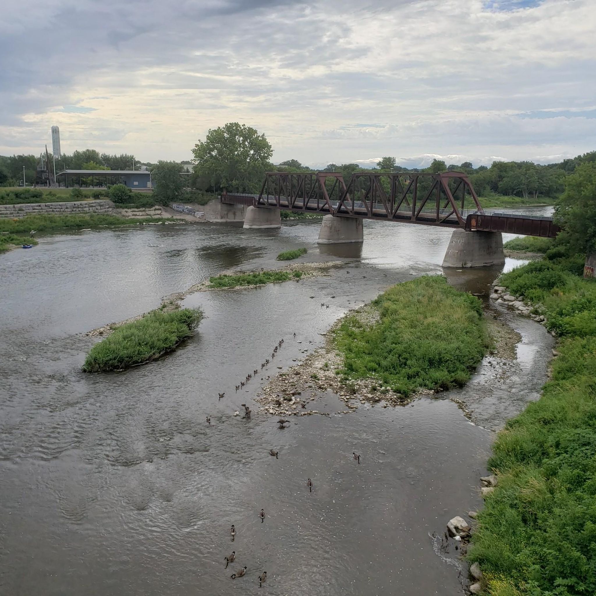
Brantford Rail Bridge, or Brant's Crossing Bridge, is a pedestrian bridge that was once a railway line. The bridge has two trusses, but they are not exactly identical in construction, making it unique. There are great views over the Grand River, and it's a safe place to spot wildlife like beavers and birds.
0
0

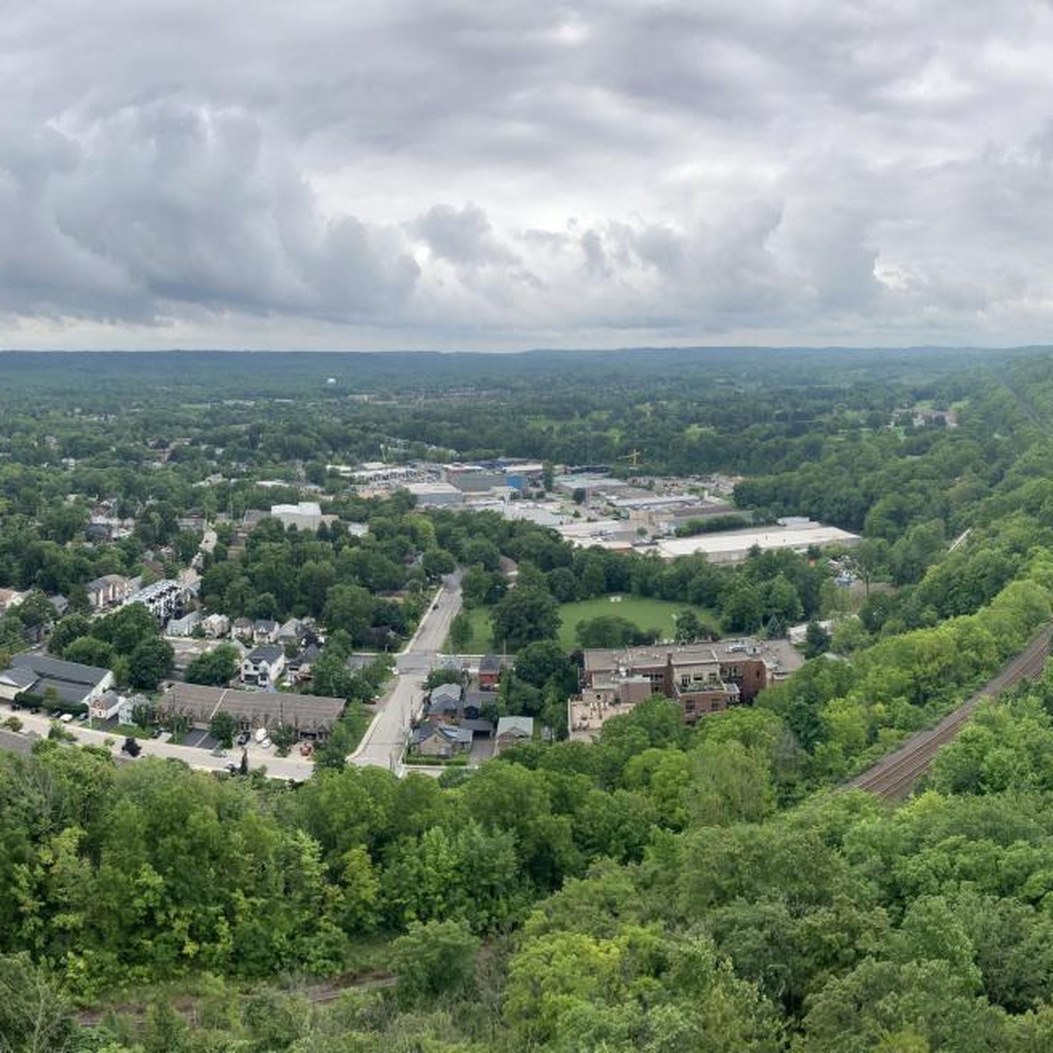
Plan to ride up the mountain and then walk your bike down the stairs. I would think pushing the bike up the stairs would be tough
0
0
Frequently Asked Questions
What kind of terrain can I expect on gravel bike trails in Brant?
Gravel bike trails in Brant primarily feature hard-packed gravel surfaces, often following old railway beds which provide generally flat grades. You'll also encounter mixed-surface mileage, including some paved sections and lesser-used roads. Some routes may have short, unpaved segments that require good fitness.
Are there easy gravel biking routes suitable for beginners in Brant?
Yes, Brant offers several easy gravel biking routes perfect for beginners. Many rail trails, like sections of the Cambridge to Paris Rail Trail, provide flat, fine-gravel paths ideal for relaxed rides. The Bridge Over the Creek – Sulphur Springs Train Station loop from Copetown Bog is an easy 9.5-mile (15.3 km) trail that leads through varied natural landscapes.
Are there any challenging gravel biking routes for experienced riders in Brant?
For experienced riders seeking a challenge, Brant offers routes with varied terrain and some elevation. The Grand River Bike Trail loop from Littles Corners is a moderate 21.0-mile (33.8 km) route with over 140 meters of elevation gain. The Grand River Cycling Loop, though not exclusively gravel, is a 48.3 km loop near Paris considered moderately challenging with climbs and descents, incorporating both road and trail sections.
How many gravel bike trails are available in Brant?
Brant offers a comprehensive network for gravel biking. Our guide features 4 distinct gravel bike tours, but the region itself boasts over 70 km of natural trails, with 18 km specifically designated for biking within Brantford alone. This extensive system provides numerous options for exploration.
Are the gravel bike trails in Brant suitable for families with children?
Many of Brant's gravel trails are family-friendly, especially those following old railway beds which are generally flat and wide. The crushed stone or fine gravel surfaces are suitable for various bike types, including hybrids and e-bikes, making them accessible for different skill levels within a family. Consider routes that are shorter and have minimal elevation for younger riders.
Can I bring my dog on the gravel bike trails in Brant?
Many multi-use trails in Brant, particularly the rail trails, are dog-friendly, provided your dog is on a leash. Always check specific trail regulations before you go, especially within conservation areas, to ensure dogs are permitted. Remember to bring water for your pet and clean up after them.
What scenic views or natural features can I expect to see while gravel biking in Brant?
Gravel biking in Brant offers diverse scenery. You'll ride alongside the beautiful Grand River, through lush Carolinian forests, and past significant blocks of forest and wetlands. The region is known for its natural beauty, including rare oak savanna and tallgrass prairie patches. You might also encounter unique geological features like the Brantford Tufa Mounds.
Are there any notable landmarks or attractions along the gravel bike routes in Brant?
Yes, several notable landmarks and attractions can be found along or near Brant's gravel bike routes. You can explore the charming town of Paris, Ontario, ride past the historic Wilkes Dam, or experience the scenic SC Johnson Rail Trail Along the Nith River. The Waterford Bridge is another point of interest.
Are there circular gravel bike routes available in Brant?
Yes, Brant offers several circular gravel bike routes. For instance, the Grand River Bike Trail loop from Littles Corners is a popular 21.0-mile (33.8 km) loop. Another option is the Forest Singletrack Trail – Bridge Over the Creek loop from Copetown Bog, a 21.8-mile (35.1 km) path that forms a loop through forested areas.
How accessible are the gravel bike trails in Brant by public transport?
While Brantford has its own public transit system, accessing specific trailheads in more rural parts of Brant County by public transport can be challenging. Many trails are best reached by car, with parking available at various access points. For routes within Brantford, local bus services might get you closer to the urban trail network.
Where can I find parking for gravel bike trails in Brant?
Parking is generally available at various access points for the major rail trails and conservation areas throughout Brant. For example, the Brant Conservation Area offers parking and connects to the S.C. Johnson Rail Trail. Many trailheads, especially in and around Brantford and Paris, have designated parking lots. Always look for official parking areas to ensure convenience and safety.
What is the best time of year to go gravel biking in Brant?
The best time for gravel biking in Brant is typically spring, summer, and fall. Spring offers lush greenery and comfortable temperatures, while summer is ideal for longer days and warmer weather. Fall provides stunning views of the changing Carolinian forest foliage. Winter riding is possible, but some trails may be covered in snow or ice, requiring appropriate gear and caution.
What do other gravel bikers enjoy most about the trails in Brant?
The gravel biking trails in Brant are highly rated by the komoot community, with an average score of 4.7 stars from over 14 reviews. Riders often praise the extensive network of trails, the scenic beauty of the Grand River valley and Carolinian forests, and the diverse terrain that caters to various skill levels. The well-maintained rail trails are frequently highlighted for their smooth surfaces and accessibility.
Most popular attractions around Brant

Get inspired with the komoot mobile app


Explore more
Browse the best Gravel rides in other regions.
