The best gravel rides around Area B (Discovery Islands/Mainland Inlets)
6
riders
2
rides
Gravel biking around Area B (Discovery Islands/Mainland Inlets) offers routes through a landscape characterized by rugged coastlines, dense forests, and an extensive network of old logging roads. This region, situated between Vancouver Island and the British Columbia mainland, features diverse terrain from coastal paths to inland forest service roads. The area's geography includes numerous islands and mainland inlets, providing varied elevation changes and scenic viewpoints for gravel cyclists.
Best gravel bike trails around Area B (Discovery Islands/Mainland Inlets)
- The most…
Last updated: July 2, 2026
3
riders
9.59km
00:54
170m
170m
Moderate gravel ride. Good fitness required. Mostly paved surfaces. Suitable for all skill levels.
3
riders
Moderate gravel ride. Good fitness required. Mostly paved surfaces. Suitable for all skill levels.
Our route recommendations are based on thousands of hikes, rides, and runs completed by other people on komoot.
Start today with a free account
Your next adventure awaits.
Login or Signup
Popular around Area B (Discovery Islands/Mainland Inlets)
Tips from the Community

ERT travels north-south across Beaver Lodge Forest Lands, and halfway though its course becomes Airport Main. This trail is a wide forest service trail, wide enough to walk side by side with a friend and maintain a conversation while still seeing so much beauty that Beaver Lodge Lands has to offer.
0
0

The Beaver Lodge Forest Lands are located on the edge of Campbell River in BC. Visitor can enjoy the many trails that crisscross the forest allowing access to hiking and mountain biking. The area was heavily logged in the past but it is now overseen by a land trust and has become a haven for a wide range of flora and fauna.
0
0
This multi-use trail was built on top of an old logging route and is suitable for all ages and ability levels. The 3 kilometre trail can be taken as an out and back hike or combined with other trails in the area for longer journeys and loop hikes.
0
0

The Mud Lake Trailhead starts right off the roadside pull-off, with a simple, unmarked entrance leading straight into the forest. There’s no formal signage or built-up trailhead, so it can feel easy to miss at first. Once you step onto the path, you’re immediately on a narrow forest trail that heads toward the lake without much buildup.
0
0
Mud Lake is a small, quiet lake tucked into the forest at the end of a short walk. When you reach it, the shoreline feels still and slightly enclosed, with trees right up to the water and limited open views. You have a better and closer view of the lake from Walkan Road. Here, it's more of a peaceful spot to pause and take in the sourroundings. You’ll often have it to yourself.
0
0
There’s a small roadside pull-off marking the start of the Mud Lake Trail, with limited space for a few vehicles. It’s easy to miss if you’re not looking for it, as there’s no large car park or formal entrance. Once parked, the trail begins right off the road and quickly heads into the forest toward the lake, so you’re on the path almost immediately.
0
0

Frank James Park is a scenic waterfront park situated along the banks of the Campbell River. The park is famous for hosting its annual chainsaw driftwood carving competition. Visitors can enjoy walking through the grounds and viewing numerous striking sculptures from past events that are scattered throughout the park. For visitor convenience, the park provides amenities including washrooms, picnic tables, and benches.
0
0
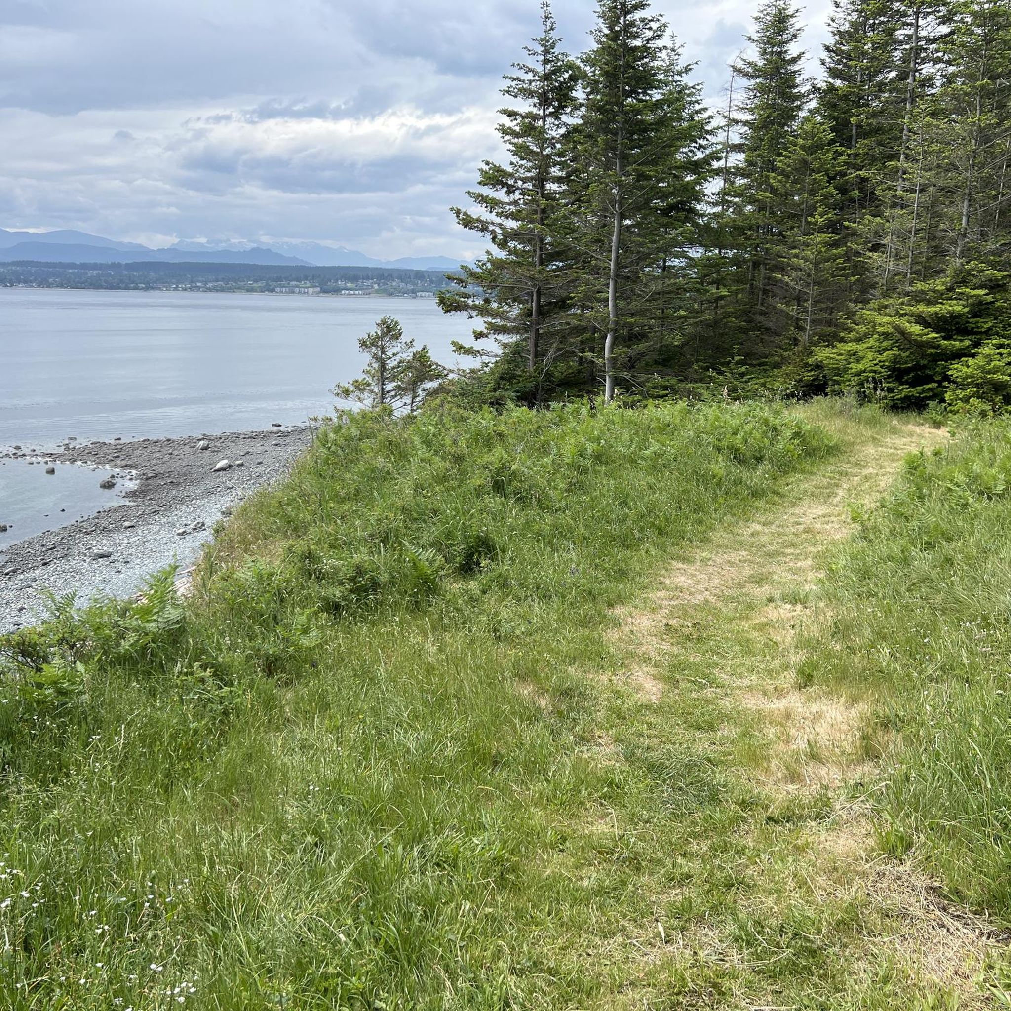
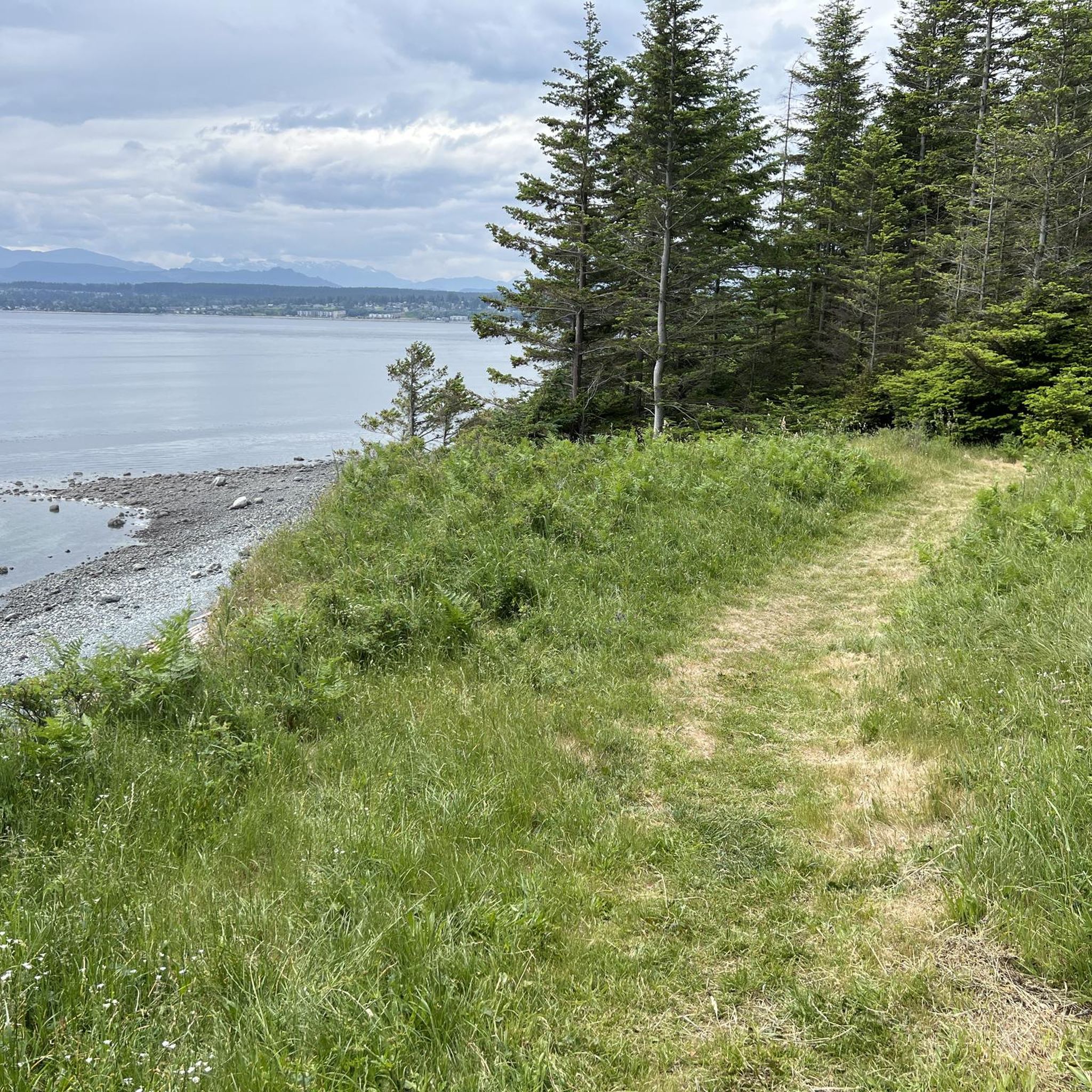
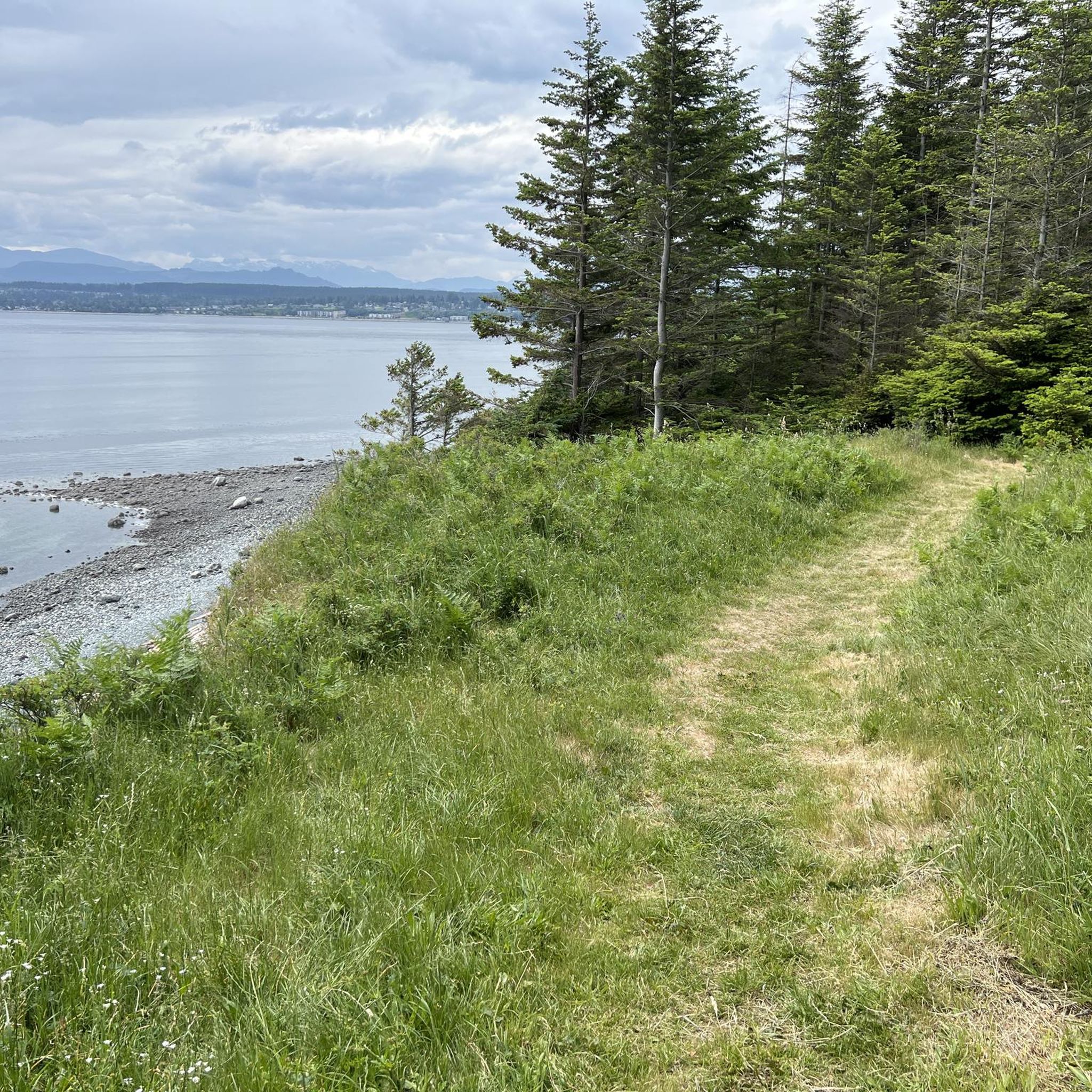
Ken Forde Boat Ramp Park is a small waterfront park that offers great views of the bay, a boat ramp, and a picnic area. The beach is a great place to check out tide pools during low tide.
0
0
Frequently Asked Questions
What kind of terrain can I expect on gravel bike trails in the Discovery Islands and Mainland Inlets?
The Discovery Islands and Mainland Inlets offer diverse gravel biking terrain. You'll encounter extensive networks of old logging roads and forest service roads, which can range from well-graded to sections with golfball-sized gravel and steep climbs. The routes traverse lush rainforests, coastal paths, and areas with significant elevation changes, providing a true West Coast experience.
Are there any easy or family-friendly gravel bike routes in the Discovery Islands?
While many routes offer a moderate challenge, the region does have options suitable for varying skill levels. For a taste of the island's varied terrain without extreme difficulty, consider the Morte Lake loop from Quadra Island. It's a shorter, moderate ride that can be a good introduction to gravel biking in the area.
What are some notable natural features or landmarks I might see while gravel biking in this region?
The Discovery Islands and Mainland Inlets are rich in natural beauty. You can expect stunning fjordal landscapes, towering coastal mountains, and lush rainforests. Specific natural attractions include several waterfalls like Elk Falls, Deer Falls, and Moose Falls. The Canyon View Bridge also offers impressive vistas.
What do other gravel bikers enjoy most about the trails in Area B (Discovery Islands/Mainland Inlets)?
The komoot community highly rates the gravel biking experience here, with an average score of 5.0 stars. Riders often praise the sense of wilderness and adventure found on the less-traveled routes, the stunning coastal and forest views, and the challenging yet rewarding terrain that integrates well with the region's natural beauty.
Are there any gravel bike routes with ocean views?
Yes, several routes offer expansive ocean views. The Picnic Area With Ocean View loop from Willow Point is a popular choice, providing scenic vistas and traversing a mix of gravel and paved surfaces along the coast.
What is the best time of year for gravel biking in the Discovery Islands and Mainland Inlets?
The region experiences plenty of sunshine and warm breezes during the summer months, making it an ideal time for gravel biking. The weather is generally favorable from late spring through early fall, offering comfortable temperatures and drier conditions for exploring the extensive network of logging and forest service roads.
Are there any specific routes that explore Quadra Island?
Quadra Island is a prime location for gravel biking, known for its hilly terrain and scenic views. Besides the Morte Lake loop, you can explore the Quathiaski Cove Ferry Terminal – Quadra Island Lighthouse loop from Quathiaski Cove, which leads through coastal areas and forested sections, showcasing the island's diverse landscapes.
Can I combine gravel biking with other outdoor activities in the Discovery Islands?
Absolutely. Gravel biking in this region can be easily combined with other outdoor pursuits. The area is renowned for wildlife viewing, including opportunities for whale watching. You can also explore coastal villages or enjoy waterside camping, making it perfect for multi-day bikepacking adventures.
What should I know about parking for gravel bike trails in the Discovery Islands?
Given the region's extensive network of logging and forest service roads, parking is often available at trailheads or designated access points, particularly on larger islands like Quadra. It's advisable to check specific route details or local information for the most convenient parking options near your chosen starting point.
Are there any routes that offer a mix of gravel and paved surfaces?
Yes, some routes provide a varied riding experience. For example, the Picnic Area With Ocean View – Graffiti Rock loop from Willow Point combines gravel and paved sections, offering diverse riding conditions while exploring the scenic coastal areas.
How many gravel bike trails are available in Area B (Discovery Islands/Mainland Inlets) on komoot?
There are currently 4 gravel bike trails available on komoot for Area B (Discovery Islands/Mainland Inlets), all rated as moderate difficulty. These routes offer a great starting point for exploring the region's unique gravel biking opportunities.
Most popular routes around Area B (Discovery Islands/Mainland Inlets)
Most popular attractions around Area B (Discovery Islands/Mainland Inlets)

Get inspired with the komoot mobile app


Explore more
Browse the best Gravel rides in other regions.
