The best cycling routes around Area B (Discovery Islands/Mainland Inlets)
5.0
(10)
120
riders
14
rides
Touring cycling around Area B (Discovery Islands/Mainland Inlets) offers routes through a landscape characterized by numerous islands, intricate waterways, and dramatic fjords carved into the Coast Mountains. The region features rugged coastlines, heavily forested islands, and valleys, with varied terrain including hilly sections and diverse road surfaces. Cyclists can expect a mix of paved roads and chip seal, navigating through areas with both lush forests and coastal views.
Best touring cycling routes around Area B (Discovery Islands/Mainland Inlets)
- The most…
Last updated: July 12, 2026
5.0
(1)
24
riders
Hard bike ride. Very good fitness required. Mostly paved surfaces. Suitable for all skill levels.
5.0
(3)
18
riders
19.7km
01:21
130m
130m
Easy bike ride. Great for any fitness level. Mostly paved surfaces. Suitable for all skill levels.

Sign up for free
12
riders
42.8km
03:24
750m
750m
Hard bike ride. Very good fitness required. Mostly paved surfaces. Suitable for all skill levels.
5.0
(1)
10
riders
18.3km
01:15
230m
240m
Moderate bike ride. Good fitness required. Mostly paved surfaces. Suitable for all skill levels.
9
riders
Moderate bike ride. Good fitness required. Mostly paved surfaces. Suitable for all skill levels.
Get access to more routes and recommendations from other explorers.
Sign up for free
Already have an account?
Our route recommendations are based on thousands of hikes, rides, and runs completed by other people on komoot.
Start today with a free account
Your next adventure awaits.
Login or Signup
Popular around Area B (Discovery Islands/Mainland Inlets)
Tips from the Community

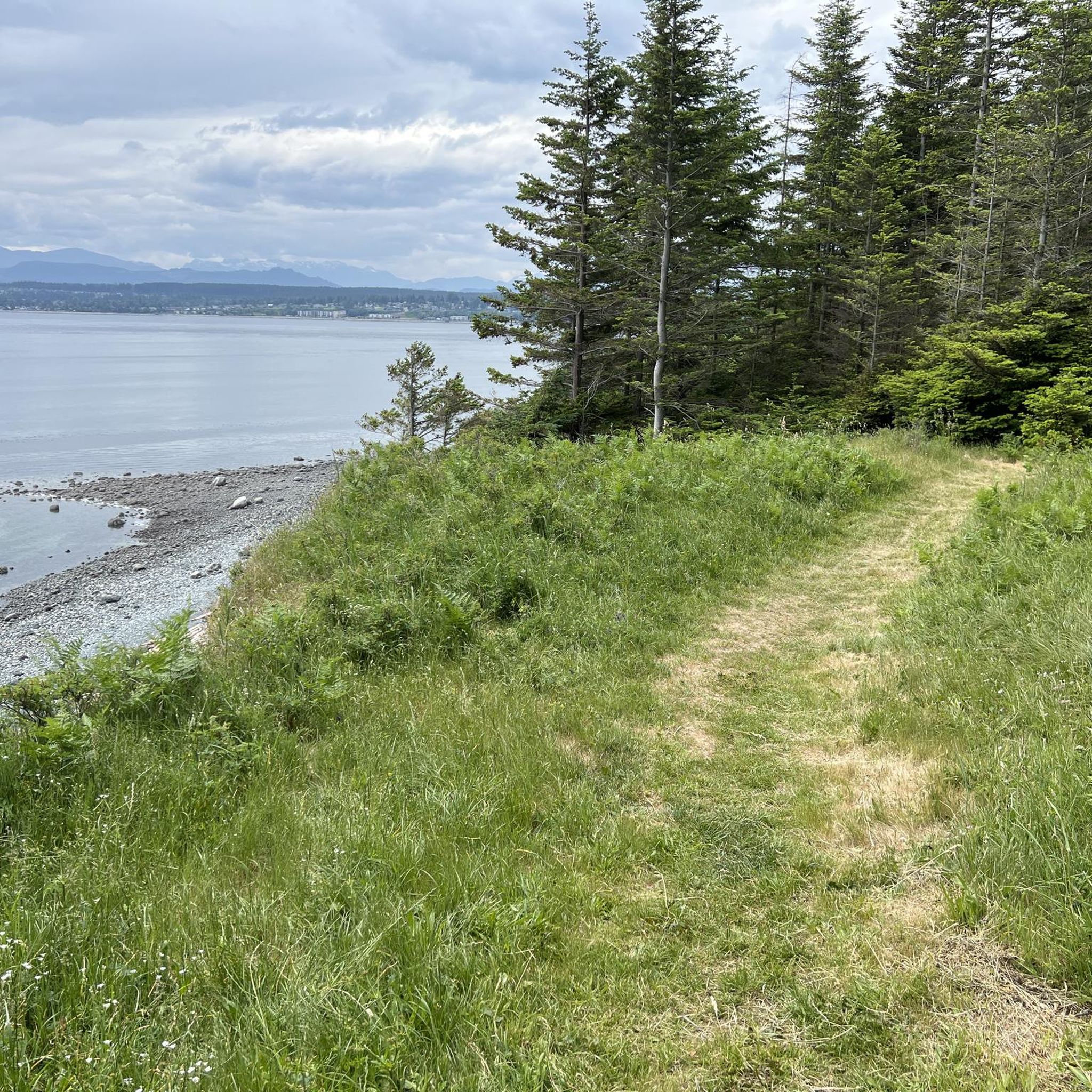
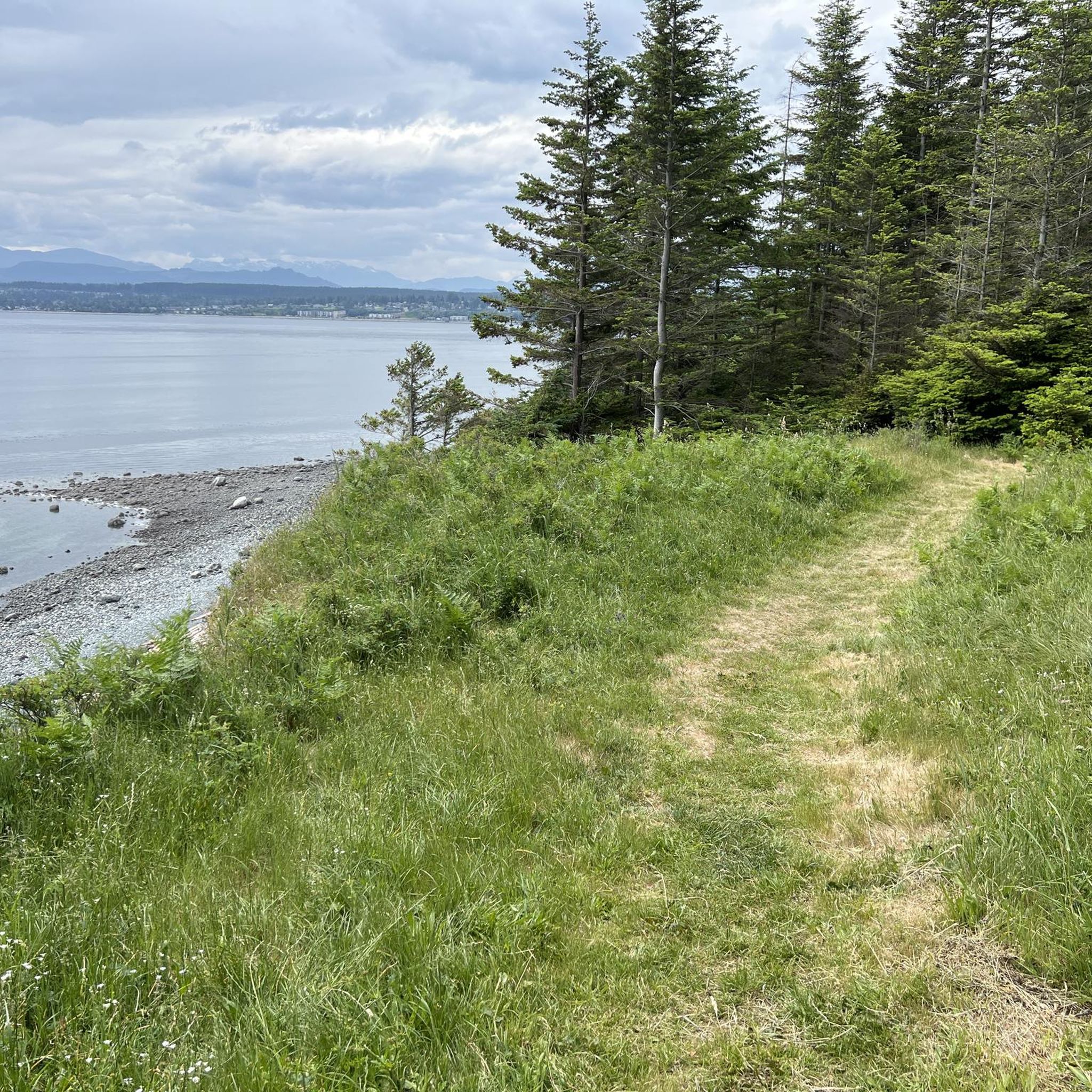
Sutil Road has roadside parking and is a good place to either start or end a hike along the Kay Dubois Trail. For a glass of wine after your hike, walk 700 meters south on Sutil Road to the SouthEnd Farm Winery, where you can enjoy wine tastings. Be sure to check the winery hours, as they are not open every day.
0
0

Frank James Park is a scenic waterfront park situated along the banks of the Campbell River. The park is famous for hosting its annual chainsaw driftwood carving competition. Visitors can enjoy walking through the grounds and viewing numerous striking sculptures from past events that are scattered throughout the park. For visitor convenience, the park provides amenities including washrooms, picnic tables, and benches.
0
0
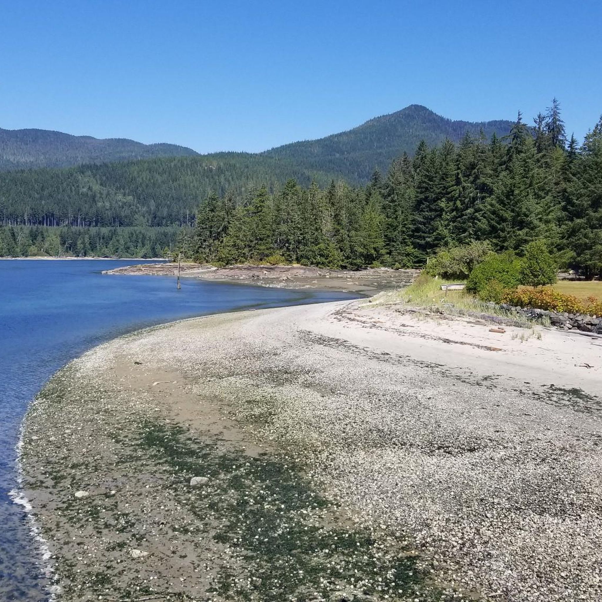
The Rotary Seawalk is a 6-kilometer path that runs along the shores of the Discovery Passage. Trail users can catch views of cruise liners, cargo ships, sailboats, and fishing vessels as they stroll or ride along the path. Picnic tables, benches, grassy lawns, and sandy beaches are available all along the route.
0
0


An iconic landmark of Quadra Island. Road and trail narrows affording beautiful views of Drew Harbour and Sutil Channel. In the summer time there are frequent sightings of humpback whales and bioluminescence at night.
0
0
The ferry to take you from Quadra Island to Campbell River on Vancouver Island
0
0
Frequently Asked Questions
What is the general difficulty level for touring cycling in Area B (Discovery Islands/Mainland Inlets)?
Touring cycling in Area B offers a range of difficulties. You'll find routes categorized as easy, moderate, and difficult. The terrain often includes hilly island sections, and road surfaces can vary, featuring paved roads, chip seal, and uneven pavement. Overall, there are 14 touring cycling routes available, with 2 easy, 9 moderate, and 3 difficult options.
Are there easy touring cycling routes suitable for beginners in Area B?
Yes, there are easy touring cycling routes perfect for beginners. For instance, the Rotary Seawalk – Graffiti Rock loop from Willow Point Greenway is an easy 12.2-mile (19.7 km) path that provides an accessible coastal cycling experience along a seawalk.
Are there challenging routes for experienced touring cyclists in Area B?
Absolutely. Experienced touring cyclists will find challenging routes in Area B. For example, the Quadra Island Lighthouse – Southend Farm Winery loop from Rebecca Spit Marine Provincial Park is a difficult 28.1-mile (45.3 km) trail, exploring the diverse and often hilly terrain of Quadra Island. Another challenging option is the Smelt Bay – Smelt Bay Provincial Park loop from Tan Island, which covers 26.6 miles (42.8 km) through island landscapes.
Are the touring cycling routes in Area B suitable for families?
While some routes involve varied terrain and road conditions, the relaxed pace of life on islands like Cortes makes their road systems ideal for cycling, including for families. Look for easier, shorter routes, especially those that stick to quieter roads or dedicated paths. Always consider the specific route's distance, elevation, and surface before heading out with children.
Are there circular touring cycling routes in Area B?
Yes, many touring cycling routes in Area B are designed as loops, allowing you to start and end at the same point. Examples include the Quadra Island Lighthouse – Southend Farm Winery loop and the Smelt Bay – Smelt Bay Provincial Park loop. These circular routes are great for exploring without needing to retrace your steps.
What natural features or landmarks can I expect to see while cycling in Area B?
Area B is rich in stunning natural features. You'll encounter rugged coastlines, heavily forested islands, and dramatic fjords. Waterfalls are a common and spectacular sight, particularly in Toba Inlet, where they cascade from high alpine regions. You might also spot lakes like Wednesday Lake or Mud Lake. Keep an eye out for impressive waterfalls such as Elk Falls or Deer Falls.
When is the best time of year for touring cycling in Area B?
The temperate climate of the Discovery Islands, often in the rain shadow of the Coast Mountains, provides ample sunshine and warm breezes during the summer months. This makes summer an excellent time for touring cycling. However, spring and fall can also offer pleasant conditions with fewer crowds, though weather can be more unpredictable.
Is parking available for cyclists in Area B?
Yes, parking is generally available, especially at popular starting points for routes or near provincial parks. For example, routes like the Quadra Island Lighthouse – Southend Farm Winery loop often start from areas like Rebecca Spit Marine Provincial Park, which typically offers parking facilities. It's always advisable to check specific starting points for parking availability.
Can I access touring cycling routes in Area B using public transport?
Access to the Discovery Islands and Mainland Inlets often involves ferry services, which can accommodate bicycles. While direct public transport to every trailhead might be limited, ferries connect the islands, allowing cyclists to bring their bikes and start their tours from various points. For detailed ferry schedules and bike policies, it's best to consult BC Ferries directly.
Are there places to eat or stay along the touring cycling routes in Area B?
Yes, especially on the more populated Discovery Islands like Quadra and Cortes. You'll find various amenities, including cafes, artisan studios, and roadside stands, particularly on Cortes Island. Accommodation options range from campgrounds to lodges and B&Bs. It's a good idea to plan your route with potential stops in mind, especially for longer tours.
What should I pack for a touring cycling trip in Area B?
Given the varied terrain and coastal environment, it's wise to pack layers of clothing suitable for changing weather conditions, including rain gear. Essential cycling equipment like a repair kit, spare tubes, and a pump are crucial. Don't forget water, snacks, sun protection, and a first-aid kit. Given the potential for wildlife sightings, binoculars can enhance your experience.
What do other touring cyclists enjoy the most about touring cycling in Area B (Discovery Islands/Mainland Inlets)?
The area is highly rated by the komoot community, with an average score of 5.0 stars from over 8 reviews. Reviewers often praise the stunning coastal scenery, the unique island exploration, and the quiet rural lifestyle. The diverse terrain, from lush forests to rugged shorelines, also contributes to a rewarding cycling experience.
Are there opportunities for wildlife viewing while cycling in Area B?
Area B is renowned for its abundant wildlife. While cycling, you have opportunities to spot various animals, including deer, eagles, and marine life such as sea lions, porpoises, and even orcas in the waterways. Grizzly bears are present, especially around Bute Inlet, so it's important to be bear-aware and carry bear spray when cycling in more remote areas.
Most popular routes around Area B (Discovery Islands/Mainland Inlets)
Most popular attractions around Area B (Discovery Islands/Mainland Inlets)

Get inspired with the komoot mobile app


Explore more
Browse the best Cycling routes in other regions.
