The best gravel rides around Area C (Puntledge/Black Creek)
4.6
(8)
58
riders
7
rides
Gravel biking around Area C (Puntledge/Black Creek) offers a diverse landscape characterized by the Puntledge River, Comox Lake, and the challenging terrain of Forbidden Plateau. The region features an extensive network of logging roads and multi-use trails that traverse lush forests and wetlands. These routes provide varied riding experiences, from riverside paths to climbs with significant elevation gains. The area's natural features, including unique rock formations and waterfalls, contribute to its appeal for outdoor activities.
Best gravel bike trails around Area C (Puntledge/Black Creek)
- The most popular gravel bike trail is Courtenay Airpark – Cumberland Brewing Co. loop from Cumberland, a 37.1 miles (59.8 km) trail that takes about 3 hours 54 minutes to complete. This difficult route links two communities with varied terrain.
- Another top favourite among local gravel bikers is Cumberland Brewing Co. – Cumberland Community Forest loop from Courtenay, a difficult 29.2 miles (47.0 km) path. This route offers a challenging ride through forested areas.
- Local gravel bikers also love the One Spot Trailhead – Courtenay Airpark loop from Courtenay, a 15.1 miles (24.3 km) trail leading through varied landscapes, often completed in about 1 hour 59 minutes.
- Gravel biking around Area C (Puntledge/Black Creek) is defined by its extensive logging roads, river valleys, and forested trails. The network offers options for different ability levels, from moderate rides to challenging climbs.
- The routes in Area C (Puntledge/Black Creek) are highly rated by the komoot community with an average score of 4.7 stars from more than 5 reviews. More than 60 gravel bikers have used komoot to explore Area C (Puntledge/Black Creek)'s varied terrain.
Last updated: July 3, 2026
4.7
(6)
23
riders
59.6km
03:56
510m
510m
Hard gravel ride. Very good fitness required. Mostly paved surfaces. Suitable for all skill levels.
4.0
(1)
16
riders
46.8km
02:57
400m
400m
Hard gravel ride. Good fitness required. You may need to push your bike for some segments of this route.

Sign up for free
5.0
(1)
6
riders
24.2km
01:34
180m
180m
Moderate gravel ride. Good fitness required. Mostly paved surfaces. Suitable for all skill levels.
3
riders
39.3km
02:49
680m
680m
Hard gravel ride. Very good fitness required. Mostly paved surfaces. Suitable for all skill levels.
3
riders
Moderate gravel ride. Good fitness required. Mostly paved surfaces. Suitable for all skill levels.
Get access to more routes and recommendations from other explorers.
Sign up for free
Already have an account?
Our route recommendations are based on thousands of hikes, rides, and runs completed by other people on komoot.
Start today with a free account
Your next adventure awaits.
Login or Signup
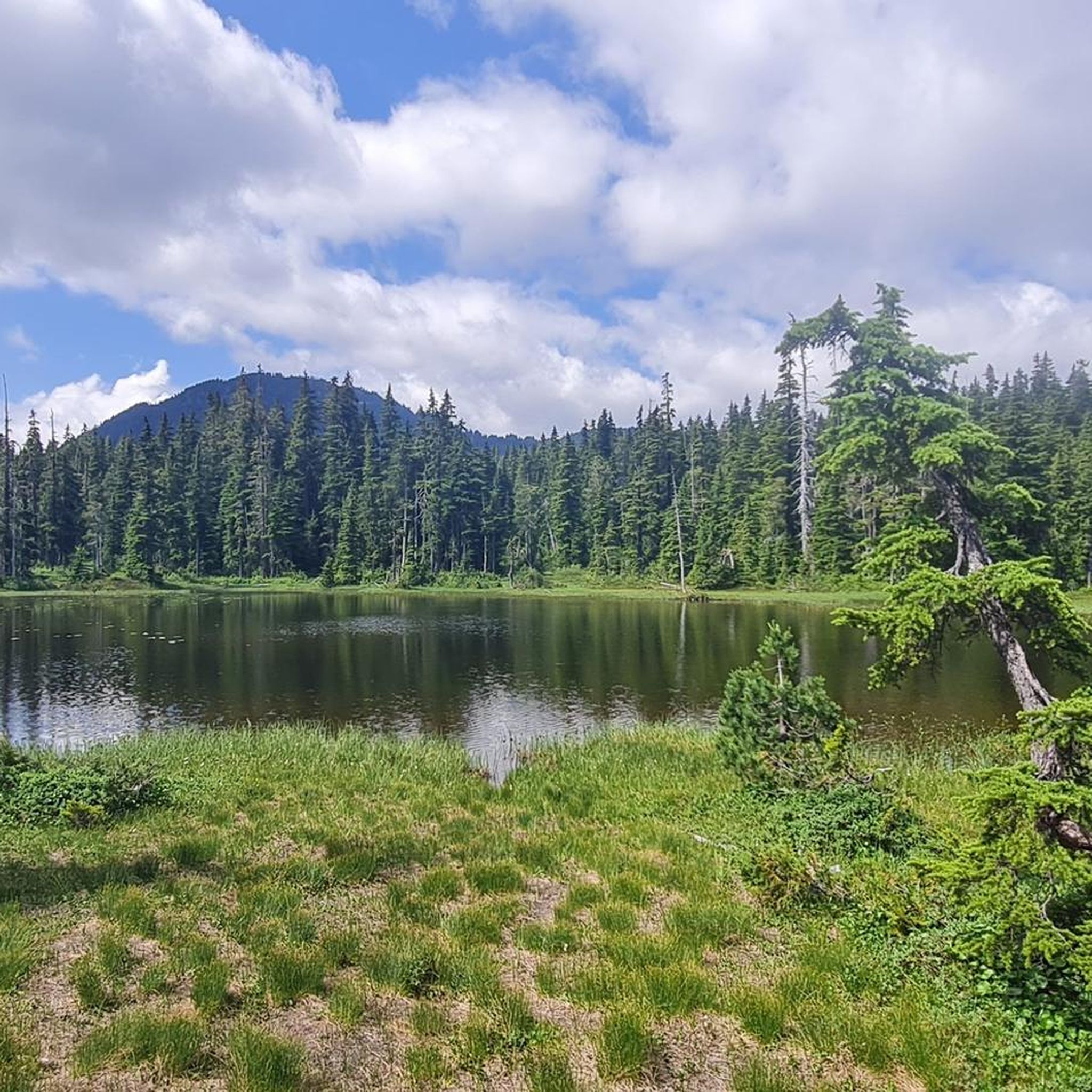
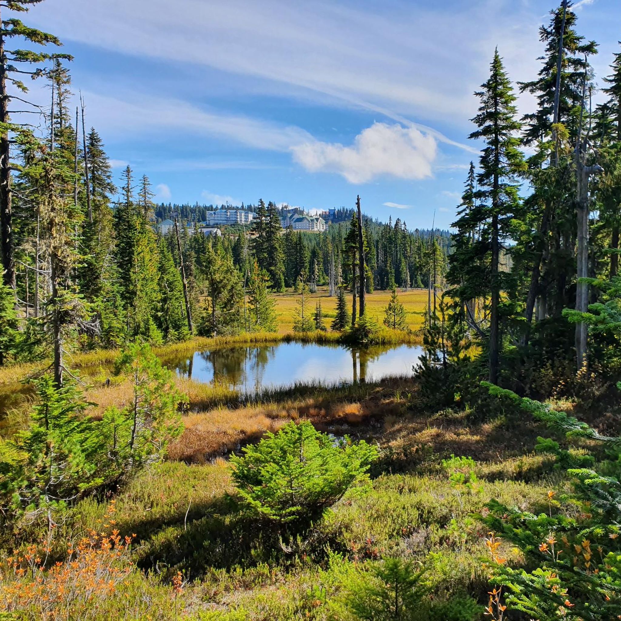
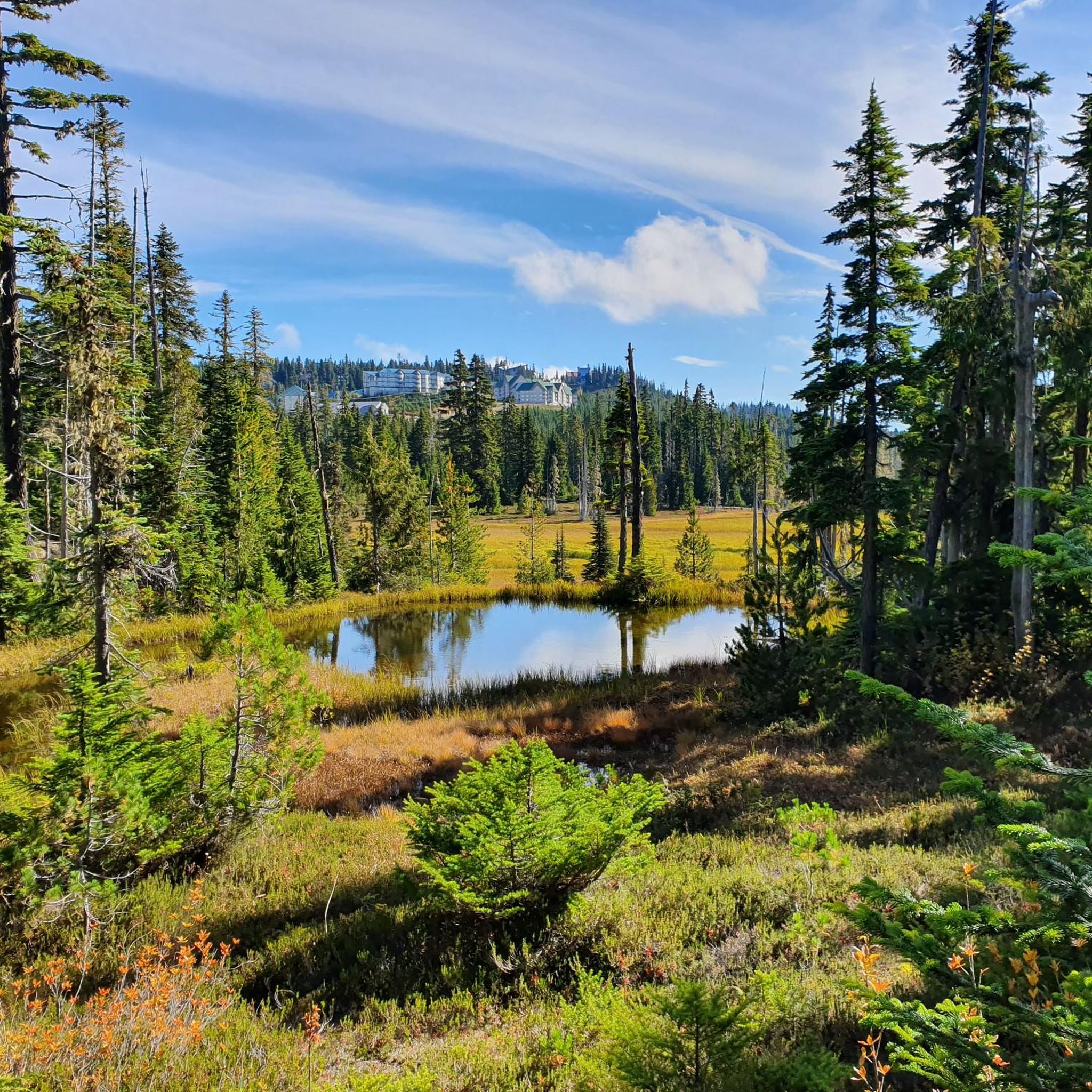
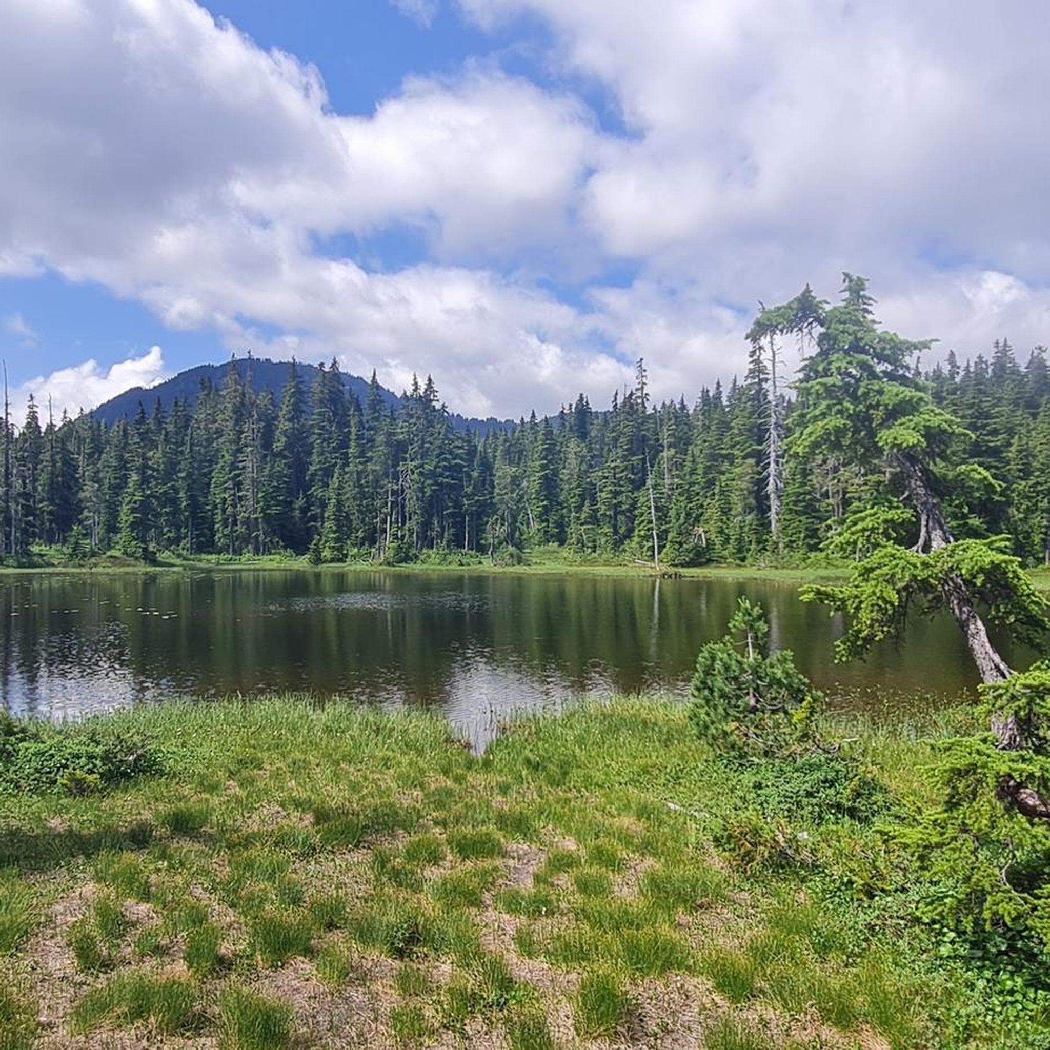
Tips from the Community

ERT travels north-south across Beaver Lodge Forest Lands, and halfway though its course becomes Airport Main. This trail is a wide forest service trail, wide enough to walk side by side with a friend and maintain a conversation while still seeing so much beauty that Beaver Lodge Lands has to offer.
0
0

The Hazy Pale and the IPA are among the best on the island
0
0
The Puntledge River Trail is a fantastic way to explore the banks of the Puntledge River and Bevan City ruins. This area has bears, so be bear aware, and don't leave food in parked cars. The trail itself is really flat and well-maintained and passes through tall second growth forests with wonderful river viewpoints and a few swimming holes along the way.
0
0
The Puntledge River flows 48 kilometres from Comox Lake until reaching the Strait of Georgia. This river is teeming with life, with massive salmon runs as well as great swimming, tubing and hiking opportunities. Be careful when taking a dip as many areas have strong currents, so choose designated swimming holes in calm parts of the river.
0
0

The Beaver Lodge Forest Lands are located on the edge of Campbell River in BC. Visitor can enjoy the many trails that crisscross the forest allowing access to hiking and mountain biking. The area was heavily logged in the past but it is now overseen by a land trust and has become a haven for a wide range of flora and fauna.
0
0
This multi-use trail was built on top of an old logging route and is suitable for all ages and ability levels. The 3 kilometre trail can be taken as an out and back hike or combined with other trails in the area for longer journeys and loop hikes.
0
0

There are a bunch of seaplanes and other small aircraft that are usually parked along the fence opposite the Riverway Path. You can check them out as you pass by.
0
0
This path takes you through Courtenay's urban area, partially sheltered on either side by strips of greenery, between downtown and the riverfront. You share the path with cyclists, but the trail is paved and divided to ease multi-use traffic.
0
0
Frequently Asked Questions
How many gravel bike trails are available in Area C (Puntledge/Black Creek)?
Area C (Puntledge/Black Creek) offers a diverse network of over 10 gravel bike routes. These trails cater to various skill levels, ranging from moderate to difficult, and traverse lush forests, river valleys, and logging roads.
What kind of terrain can I expect on gravel bike trails in Area C?
You can expect a varied terrain that includes extensive logging roads, scenic river valleys, and dense forested trails. Routes often combine gravel with sections of singletrack and doubletrack, providing an adventurous experience. Some areas, particularly around Forbidden Plateau, feature challenging climbs and descents.
Are there any family-friendly gravel biking options in Area C?
While many routes in Area C offer challenging terrain, there are moderate options suitable for those looking for a less strenuous ride. For example, the One Spot Trailhead – Courtenay Airpark loop from Courtenay is a moderate 24.3 km trail that leads through varied landscapes, offering a good option for families or those newer to gravel biking.
Where can I find challenging gravel bike routes for advanced riders?
Advanced riders will find plenty of challenging routes in Area C. The Courtenay Airpark – Cumberland Brewing Co. loop from Cumberland is a difficult 59.8 km trail with significant elevation gain, linking two communities with varied terrain. Another demanding option is the Cumberland Brewing Co. – Cumberland Community Forest loop from Courtenay, a difficult 47.0 km path through forested areas.
Are there any gravel bike routes that feature waterfalls or unique natural formations?
Yes, the region boasts beautiful natural attractions. The One Spot Trailhead – Medicine Bowls Trail loop from Courtenay is a difficult 39.6 km route that can lead you towards the unique Medicine Bowls, known for their naturally carved rock formations and waterfalls. Additionally, Nymph Falls is a notable waterfall in the area, accessible via various trails. You can find more details about Nymph Falls on its highlight page.
What are the best times of year for gravel biking in Area C?
The spring, summer, and fall months generally offer the best conditions for gravel biking in Area C, with pleasant temperatures and drier trails. While winter riding is possible, be prepared for colder temperatures, potential snow or ice, and wetter conditions, especially on unpaved logging roads.
Are there any loop gravel bike trails in the Area C region?
Yes, many of the gravel bike trails in Area C are designed as loops, offering a convenient way to explore the region without retracing your steps. Examples include the One Spot Trailhead – Courtenay Airpark loop from Courtenay and the Picnic Area With Ocean View loop from Willow Point, both offering distinct scenic experiences.
What do other gravel bikers enjoy most about Area C (Puntledge/Black Creek)?
The komoot community highly rates the gravel biking experience in Area C, with an average score of 4.7 stars. Riders frequently praise the diverse landscapes, the extensive network of logging roads, and the challenging yet rewarding climbs. The natural beauty, including views of Comox Lake and the Puntledge River, is also a common highlight.
Are there any scenic viewpoints or lakes along the gravel bike routes?
Absolutely. Many routes offer panoramic views of the surrounding mountains and lush forests. Comox Lake, a stunning glacier-fed reservoir, is a prominent feature in the region, providing beautiful lakeside access and views. You can also explore other lakes like Helen Mackenzie Lake, which are often part of the broader trail network.
Where can I find parking for gravel biking trails in Area C?
Parking availability varies by trailhead. Many routes start near established trailheads or community areas like Courtenay and Cumberland, where public parking is often accessible. It's advisable to check specific route details on komoot for recommended starting points and parking information.
Are there any cafes or places to refuel near the gravel bike trails?
The towns of Courtenay and Cumberland, which serve as starting or ending points for several gravel routes, offer various cafes, breweries, and eateries where you can refuel and relax after your ride. The Courtenay Airpark – Cumberland Brewing Co. loop, for instance, directly connects to Cumberland, known for its vibrant community and local establishments.
Most popular routes around Area C (Puntledge/Black Creek)
Most popular attractions around Area C (Puntledge/Black Creek)

Get inspired with the komoot mobile app


Explore more
Browse the best Gravel rides in other regions.
