The best road cycling routes around Area C (Puntledge/Black Creek)
4.8
(17)
306
riders
19
rides
Road cycling around Area C (Puntledge/Black Creek) offers diverse terrain, characterized by riverine environments, lush forests, and coastal proximity. The region features well-paved surfaces and varied landscapes, including second-growth forests and hills under 200m. Cyclists can explore routes along the Puntledge River and near Comox Lake, providing a mix of natural features for different fitness levels.
Best road cycling routes around Area C (Puntledge/Black Creek)
- The most popular road cycling route is Rosewall Creek Provincial Park – Qualicum Beach Heritage…
Last updated: November 10, 2026
54
riders
125km
05:21
840m
840m
Hard road ride. Very good fitness required. Some segments of this route may be unpaved and difficult to ride.
5.0
(2)
45
riders
76.9km
03:34
560m
560m
Moderate road ride. Good fitness required. Some segments of this route may be unpaved and difficult to ride.

4.7
(9)
37
riders
30.9km
01:26
290m
290m
Moderate road ride. Some segments of this route may be unpaved and difficult to ride.
21
riders
66.9km
03:50
1,240m
1,240m
Hard road ride. Very good fitness required. Mostly well-paved surfaces and easy to ride.
15
riders
74.3km
03:20
480m
480m
Moderate road ride. Good fitness required. Some segments of this route may be unpaved and difficult to ride.
Get access to more routes and recommendations from other explorers.
Already have an account?
Our route recommendations are based on thousands of hikes, rides, and runs completed by other people on komoot.
Start today with a free account
Your next adventure awaits.
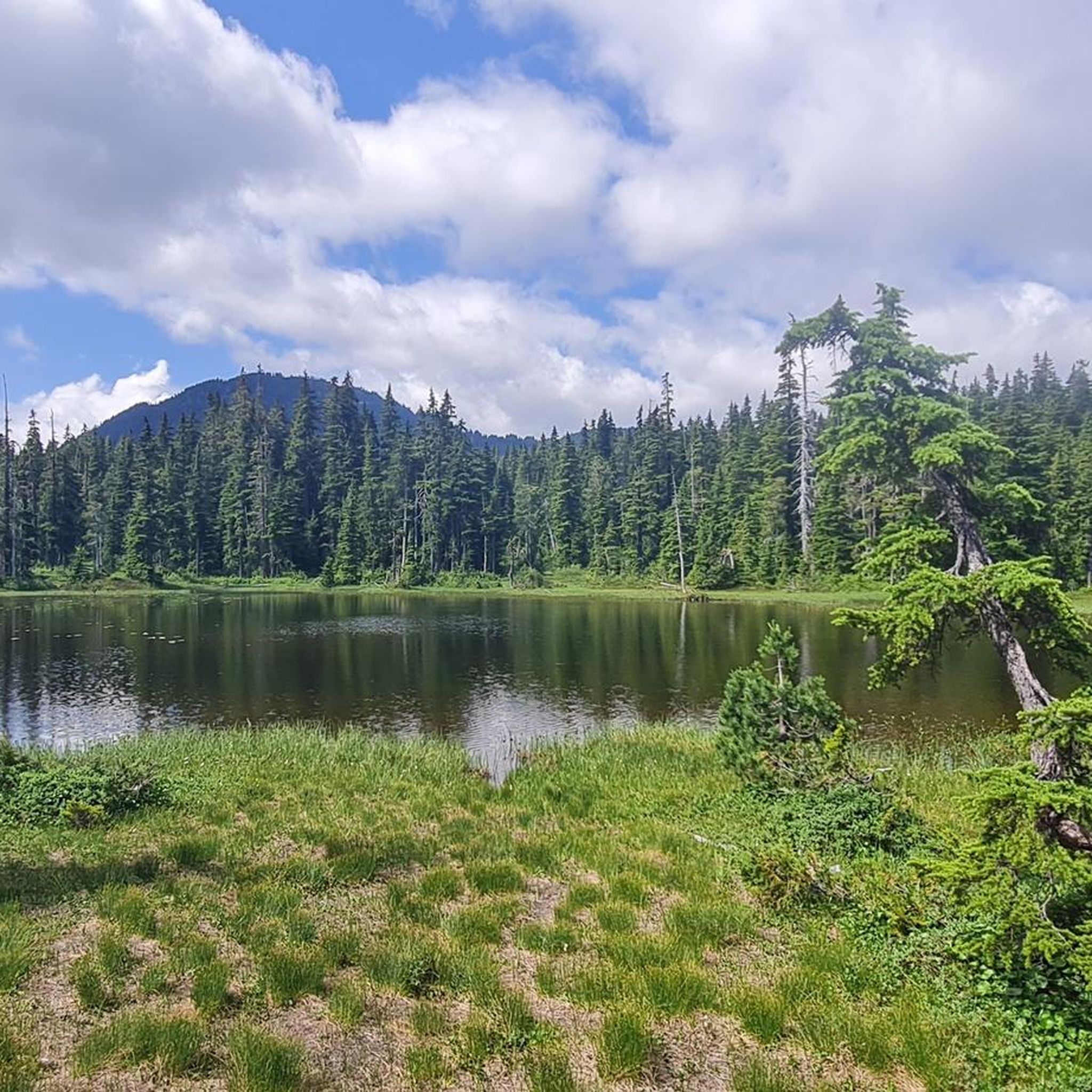
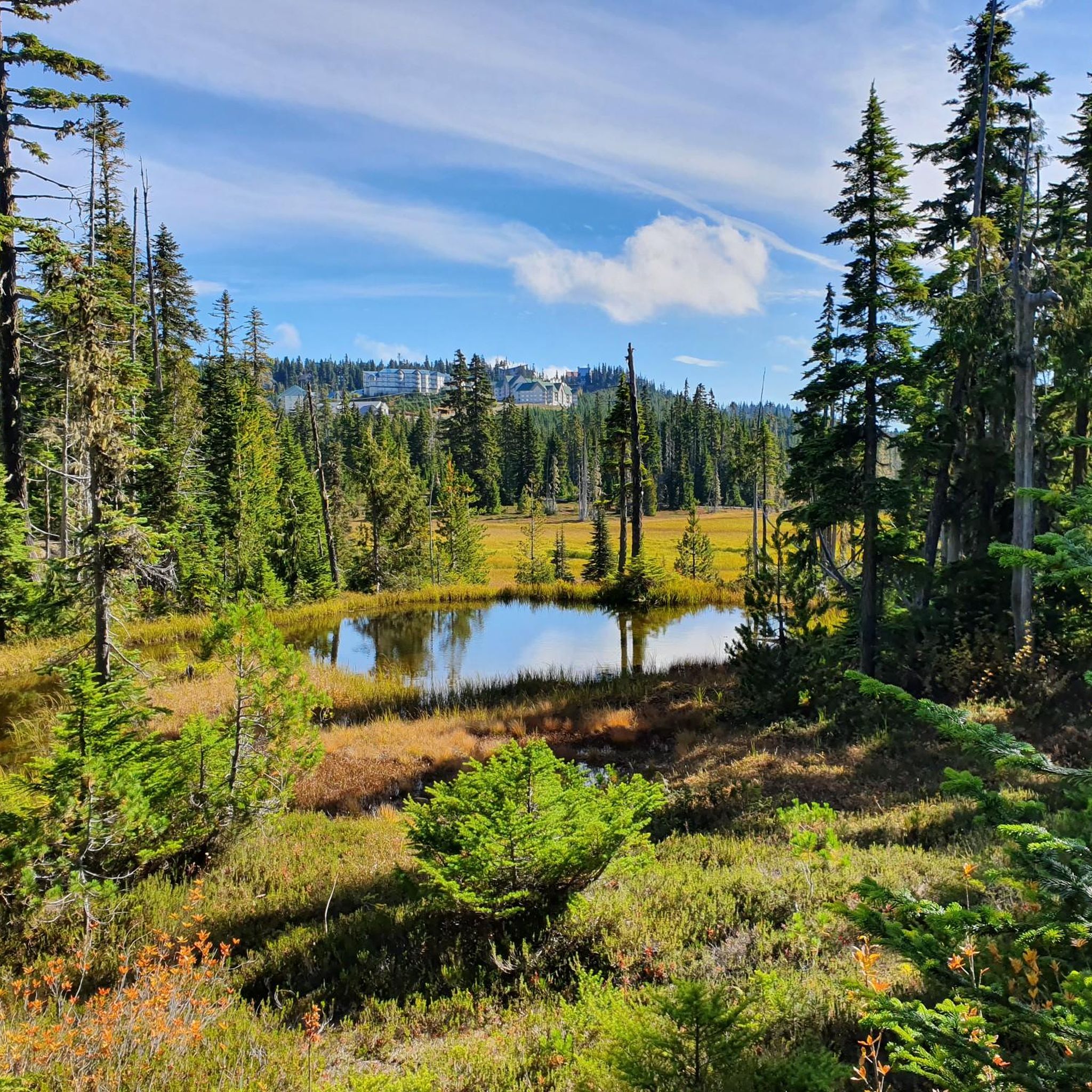
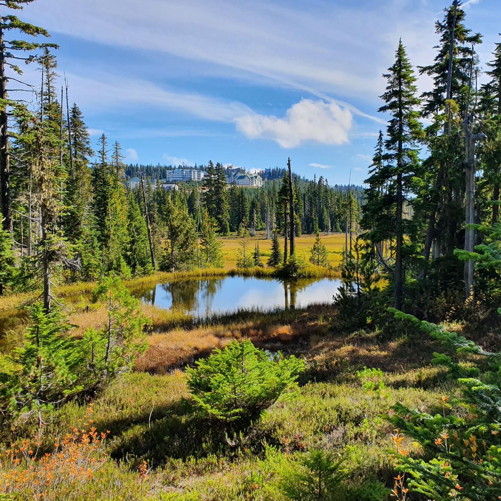
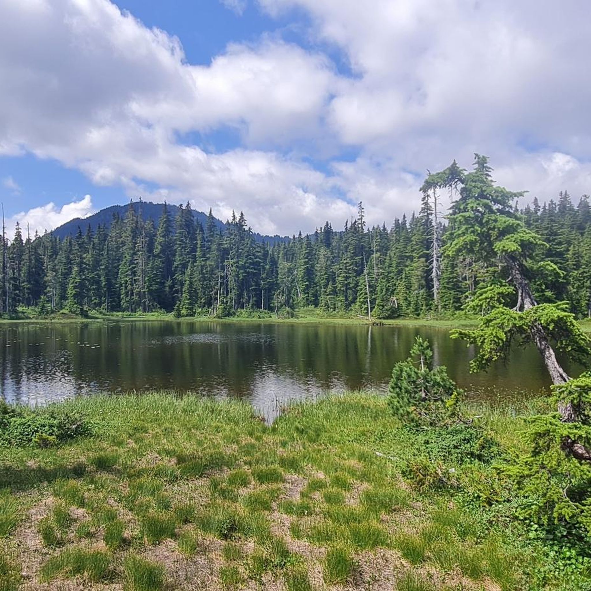

Tips from the Community

Very beautiful area
1
0
Frequently Asked Questions
How many road cycling routes are available in Area C (Puntledge/Black Creek)?
Area C (Puntledge/Black Creek) offers a wide selection of road cycling routes, with over 20 routes available. These routes cater to various skill levels, including easy, moderate, and difficult options.
What kind of terrain can I expect on road cycling routes in Area C (Puntledge/Black Creek)?
The region features diverse terrain, from riverine environments and lush forests to coastal proximity. You'll find mostly well-paved surfaces, with some routes incorporating second-growth forests and hills under 200m. Routes like the Glen Urquhart Creek – Courtenay River loop from Comox offer significant elevation changes, while others provide gentler rides.
Are there any easy road cycling routes suitable for beginners in Area C (Puntledge/Black Creek)?
Yes, there are several easy road cycling routes perfect for beginners. For instance, the Roadbike loop from Lerwick Nature Park is a popular easy option, covering about 30.7 km (19.1 miles) through varied landscapes.
What are some challenging road cycling routes for experienced riders in Area C (Puntledge/Black Creek)?
Experienced riders looking for a challenge will find routes with significant elevation gain. The Rosewall Creek Provincial Park – Qualicum Beach Heritage Forest loop from Courtenay is a difficult 124.3 km (77.2 miles) trail with over 800 meters of ascent. Another demanding option is the Glen Urquhart Creek – Courtenay River loop from Comox, which features over 1200 meters of climbing.
What natural features or landmarks can I see along road cycling routes in Area C (Puntledge/Black Creek)?
Road cycling routes often pass by or provide access to beautiful natural features. You can cycle along the Puntledge River, enjoy views of Comox Lake, or explore areas with second-growth forests. Notable attractions include Nymph Falls, accessible via trails from the Puntledge River Recreation Area, and the scenic Helen Mackenzie Lake.
Are there any circular road cycling routes in Area C (Puntledge/Black Creek)?
Yes, many road cycling routes in Area C (Puntledge/Black Creek) are designed as loops, offering convenient starting and ending points. Examples include the Roadbike loop from Lerwick Nature Park and the Willemar Bluff – Robb Bluff loop from Cumberland.
What is the best time of year to go road cycling in Area C (Puntledge/Black Creek)?
The region offers enjoyable cycling conditions for much of the year. Spring and fall generally provide pleasant temperatures and vibrant scenery. Summer is also popular, though it can be warmer. The Comox Valley Cycling Club organizes events, including road races and time trials, indicating suitable infrastructure for the sport across various seasons.
Are there any family-friendly road cycling options in Area C (Puntledge/Black Creek)?
While specific family-friendly road cycling routes are not detailed, the presence of easy, well-paved loops and multi-use trails like sections of the One Spot Trail (which runs through farm country and forests) suggests there are suitable options for families. Look for routes categorized as 'easy' for a more relaxed experience.
Where can I find parking for road cycling routes in Area C (Puntledge/Black Creek)?
Many routes start from towns or parks where parking is available. For example, the Comox Lake Dam Picnic Area serves as a starting point for several trails. Routes originating from Courtenay, Cumberland, or near Lerwick Nature Park typically have accessible parking options.
What do other road cyclists say about their experience in Area C (Puntledge/Black Creek)?
The road cycling routes in Area C (Puntledge/Black Creek) are highly rated by the komoot community, with an average score of 4.9 stars from numerous reviews. Cyclists often praise the varied terrain, scenic views along rivers and bluffs, and the well-maintained surfaces that make for an enjoyable ride.
Can I access road cycling routes in Area C (Puntledge/Black Creek) using public transport?
While specific public transport connections to every trailhead are not detailed, the region's main towns like Courtenay and Cumberland are served by local transit. You may be able to reach starting points for some routes via public transport, but it's advisable to check local bus schedules and bike carriage policies beforehand.
Are there any cafes or pubs along the road cycling routes in Area C (Puntledge/Black Creek) for a break?
The region includes towns and communities where you can find amenities. While specific cafes or pubs directly on every route are not listed, routes that pass through or near Courtenay, Cumberland, or Black Creek will offer opportunities for refreshment stops. Nymph Falls is also mentioned as a good spot for a snack break along the Puntledge River.
Most popular routes around Area C (Puntledge/Black Creek)
Most popular attractions around Area C (Puntledge/Black Creek)

Get inspired with the komoot mobile app


Explore more
Browse the best Road cycling routes in other regions.
