The 20 Most Amazing Peaks around Tambach-Dietharz
Best mountain peaks around Tambach-Dietharz are found in the Thuringian Forest, a region characterized by its mountainous landscape, dense forests, and picturesque valleys. The area features numerous elevated points and rock formations that provide views and trails. Tambach-Dietharz itself has an average elevation of 663 meters, with its highest points reaching approximately 883 meters. These natural features offer diverse hiking terrain and viewpoints for exploration.
Best mountain peaks around Tambach-Dietharz
- The most popular mountain peaks is Hirschstein Viewpoint, a…
Last updated: July 6, 2026
Great Inselsberg
Highlight • Summit
Translated by Google •
Tip by

Ruppberg Summit and Rappenberg Hut (Stamp Point No. 399)
Highlight • Summit
Translated by Google •
Tip by

Sign up now to discover places like this
Get recommendations on the best single tracks, peaks, & plenty of other exciting outdoor places.
Sign up for free
Hirschstein Viewpoint
Highlight • Viewpoint
Translated by Google •
Tip by

Aschenbergstein summit cross with views of the Großer Inselsberg
Highlight • Summit
Translated by Google •
Tip by

View of the Aschenbergstein
Highlight • Viewpoint
Translated by Google •
Tip by

Sign up for free to discover even more peaks around Tambach-Dietharz.
Sign up for free
Already have an account?
Start today with a free account
Your next adventure awaits.
Login or Signup
Popular around Tambach-Dietharz

Forest, vastness and water – day trips in the Thuringian Forest
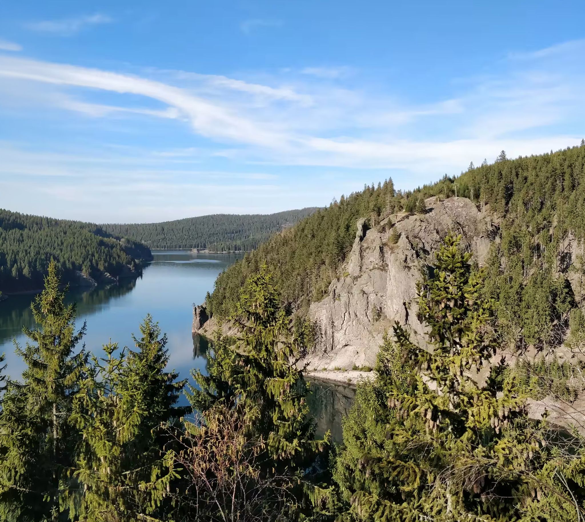
Zwischen Rennsteig und Talsperren – Mikroabenteuer im Thüringer Wald
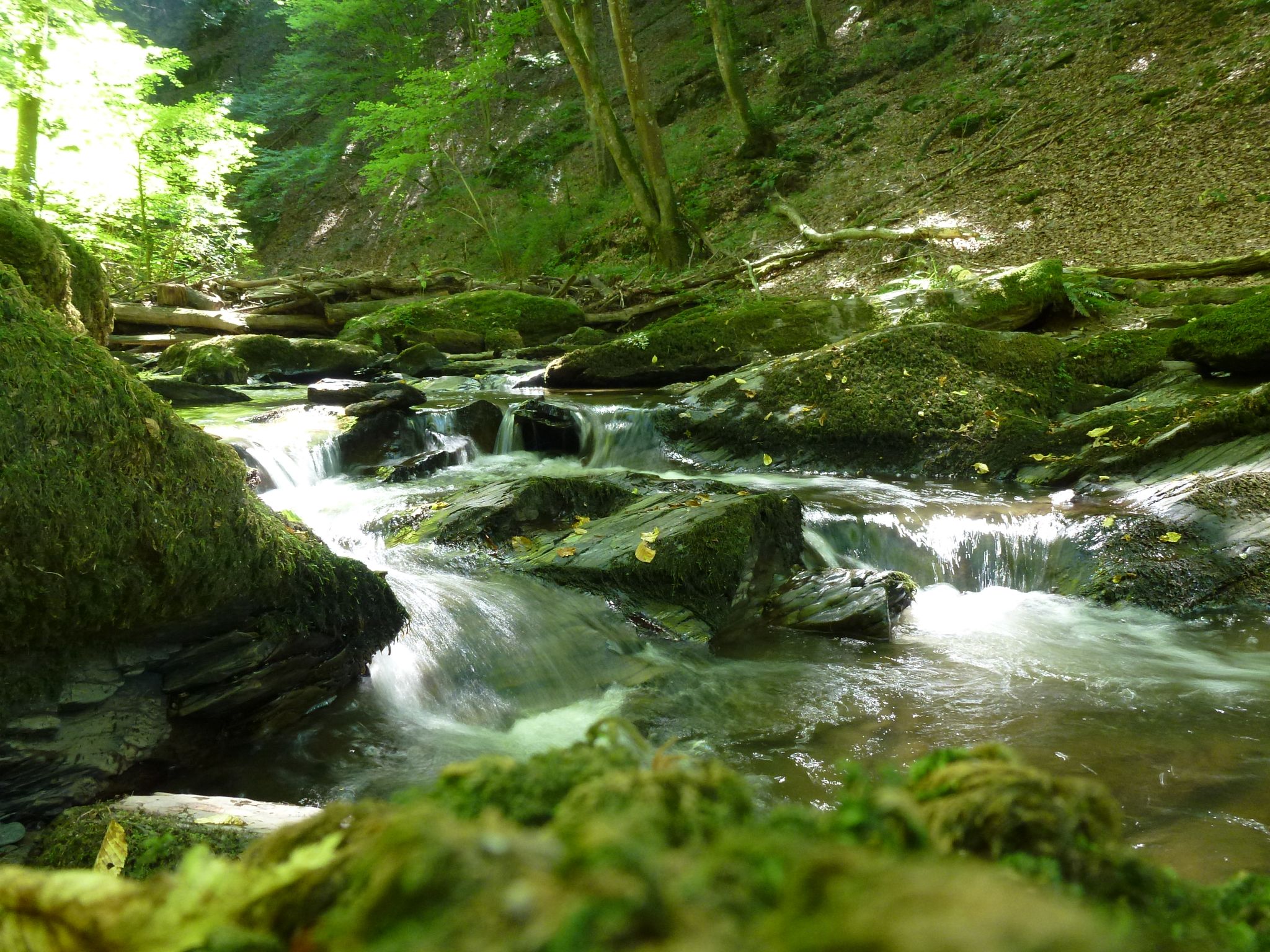
Die Magie von Klammen und Schluchten im Herzen Deutschlands
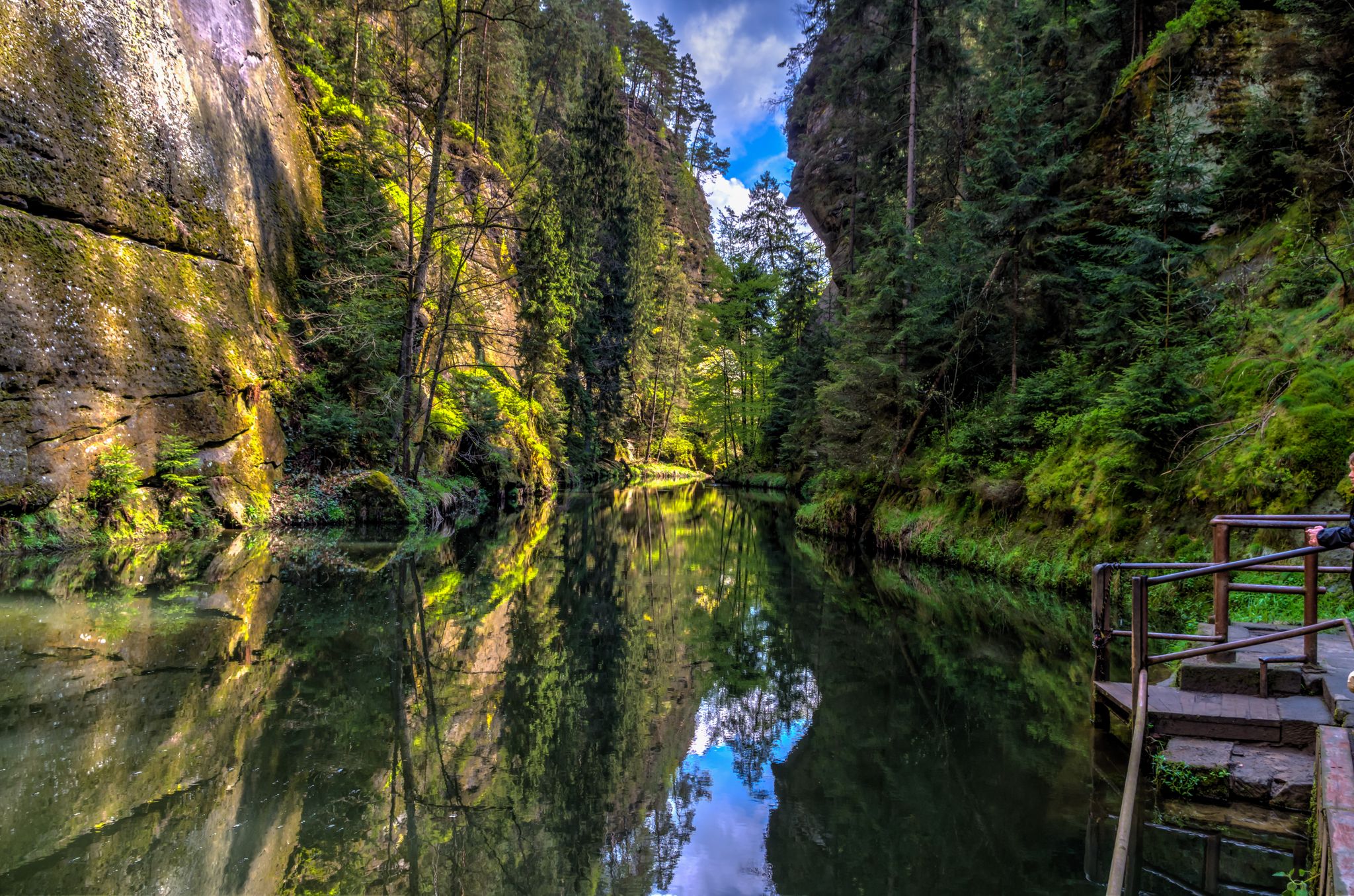
Die Magie von Klammen im Osten Deutschlands
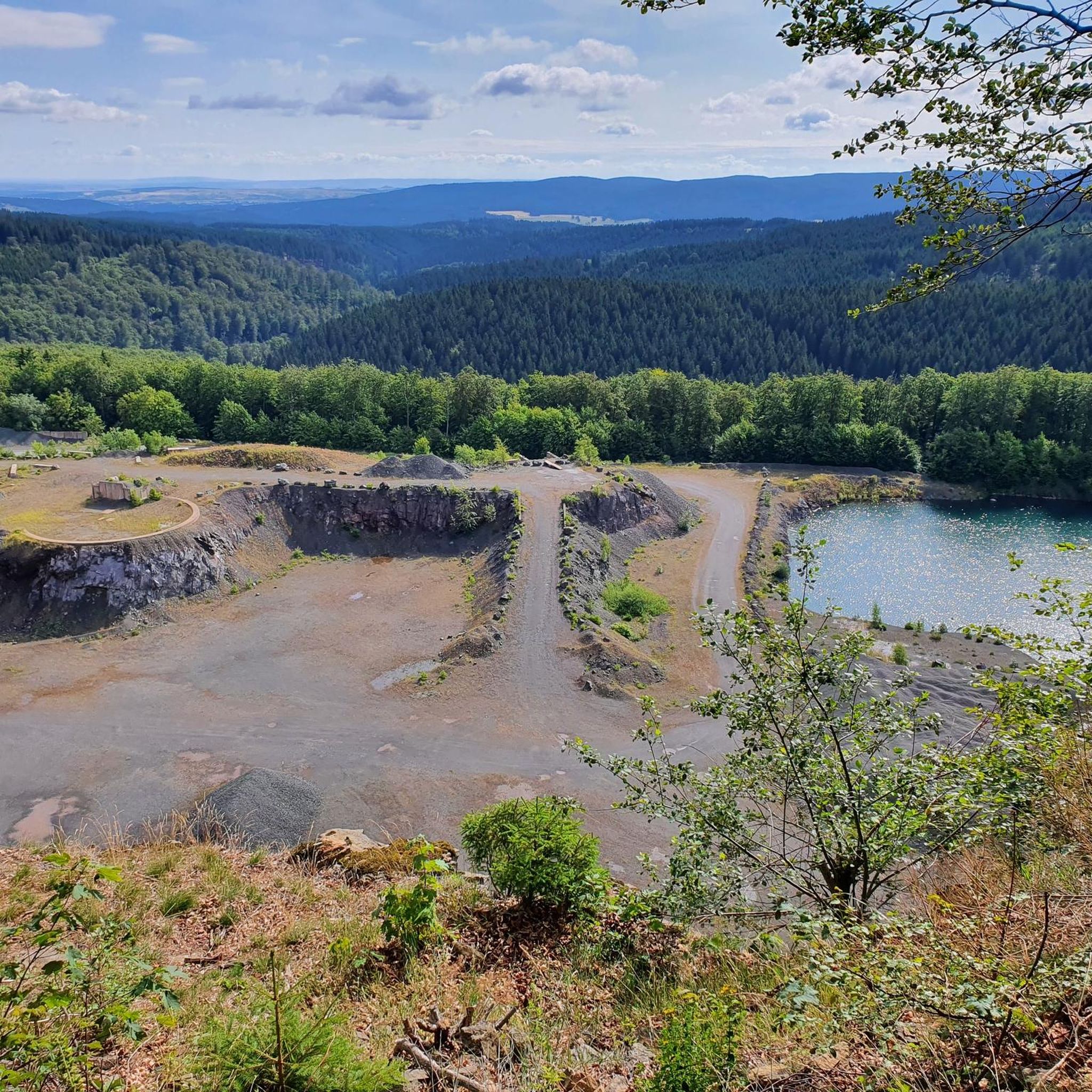
Running Trails around Tambach-Dietharz

Gravel biking around Tambach-Dietharz

Mountain Hikes around Tambach-Dietharz
Other adventures around Tambach-Dietharz


Tips from the Community

Great rock, if you are lucky you can see the goat... great
1
0


The Hirschstein is 613m high. With a great view of the Inselsberg. Unfortunately something always gets lost on the hiking trail.
16
0
You only have to climb a few steps to the summit (with a railing) and you'll be rewarded with a magnificent view. The large summit cross is visible from afar.
12
1


The bench on the viewing rock is very individually designed with a deer antler on the backrest, matching the location. Here you have a wonderful view of the Inselsberg. A place to enjoy.
11
0

Here you will find the stamp office 147 from https://www.touringen.de/
12
0

More information on Touringen.de
12
0
Frequently Asked Questions
What are some popular mountain peaks and viewpoints around Tambach-Dietharz?
The region offers several notable elevated points. Among the most popular are the Hirschstein Viewpoint, which provides expansive views over the Lauchagrund towards the Großer Inselsberg, and the Great Inselsberg itself, known for its panoramic vistas and historical significance for mountain biking. Another favorite is the Ruppberg Summit and Rappenberg Hut, offering fantastic views in all directions.
Are there any challenging mountain trails near Tambach-Dietharz?
Yes, for those seeking a challenge, the area around Tambach-Dietharz provides several options. The Aschenbergstein summit cross involves a challenging climb to reach its beautiful lookout rock. Additionally, routes like the Marderbach Gorge – Schmalwasser Dam loop, found in the nearby Waterfall hikes around Tambach-Dietharz guide, are rated as difficult, offering rugged terrain and impressive natural features.
What natural features can I expect to see when exploring the mountain peaks?
The mountainous landscape around Tambach-Dietharz is rich in natural beauty. You'll encounter dense forests, picturesque valleys, and prominent rock formations like the Falkenstein Rock, a 96-meter-high freestanding porphyry rock. The region also boasts the Spitterfall, Thuringia's highest natural waterfall, and the tranquil Ebertswiese Mountain Lake, providing diverse and impressive scenery for hikers.
Can I find family-friendly options for exploring the mountain peaks?
Absolutely. Many areas around Tambach-Dietharz are suitable for families. The Hirschstein Viewpoint is considered family-friendly, offering a scenic spot for rest. The Rennsteig Trail, while a long-distance path, also has easier sections suitable for families. Additionally, the dam areas like Schmalwasser Dam and Old Tambach Dam offer picturesque settings for walks and bike rides that families can enjoy.
What is the best time of year to visit the mountain peaks around Tambach-Dietharz?
The region around Tambach-Dietharz is particularly enchanting in spring and autumn. Spring brings lush greenery and blooming flora, while autumn offers vibrant foliage. While hiking is possible year-round, these seasons provide optimal weather conditions and stunning natural backdrops for exploring the mountain peaks and trails.
Are there long-distance hiking trails accessible from Tambach-Dietharz?
Yes, the famous Rennsteig Trail, Germany's most renowned long-distance hiking path, forms a boundary to the neighboring district for 16 km near Tambach-Dietharz. This trail offers kilometer-long routes and breathtaking views, allowing visitors to immerse themselves in the natural beauty and cultural heritage of the Thuringian Forest.
Where can I find unique rock formations or geological features?
The Falkenstein Rock is a prominent natural monument and a unique geological formation near Tambach-Dietharz. This 96-meter-high freestanding porphyry rock is a popular hiking destination and offers opportunities for climbing. You can also find impressive rock formations like the View of the Aschenbergstein, which provides an exclusive view of the Aschenbergstein with its summit cross.
What outdoor activities, besides peak bagging, can I do near Tambach-Dietharz's mountains?
Beyond exploring mountain peaks, the area offers diverse outdoor activities. You can enjoy waterfall hikes, with routes like the Spitterfall – Ebertswiese Mountain Meadow loop, detailed in the Waterfall hikes around Tambach-Dietharz guide. There are also numerous running trails, including challenging routes around the Schmalwasser Dam, as highlighted in the Running Trails around Tambach-Dietharz guide.
Are there any circular hiking routes around the mountain peaks?
Yes, several circular routes allow you to experience the diverse landscape. For instance, the 'Spitterfall – Ebertswiese Mountain Meadow loop' and the 'Marderbach Gorge – Schmalwasser Dam loop' are popular options that showcase natural highlights and scenic views. These routes are detailed in the Waterfall hikes around Tambach-Dietharz guide.
What do visitors particularly enjoy about the mountain peaks in this region?
Visitors frequently praise the magnificent and expansive views from various summits and viewpoints, such as the Great Inselsberg and Hirschstein Viewpoint. The opportunity to rest and enjoy the scenery, often with benches available, is also highly appreciated. The unique geological formations and the overall natural beauty of the Thuringian Forest are consistently highlighted as major draws.
Are there facilities like huts or restaurants near the mountain peaks?
Yes, some mountain peaks offer facilities for visitors. For example, the Ruppberg Summit and Rappenberg Hut provides a cozy hut with a tiled stove and a restaurant where you can fortify yourself. At the base of the Falkenstein Rock, there is also a managed mountain rescue hut. These spots offer a welcome break and refreshments during your exploration.
How accessible are the mountain peaks by public transport or car?
While specific details on public transport to every peak vary, Tambach-Dietharz itself is a central point. Many trailheads and access points to the mountainous areas are reachable by car, often with designated parking. For example, the Great Inselsberg is near Bad Tabarz, which has good access. It's advisable to check local transport schedules or driving directions for specific starting points.
Most popular routes around Tambach-Dietharz
Most popular attractions around Tambach-Dietharz

Get inspired with the komoot mobile app


Explore more
See even more amazing summits around Tambach-Dietharz with these guides:
