The best running trails around Tambach-Dietharz
4.5
(26)
794
runners
64
runs
Jogging routes around Tambach-Dietharz are set within the Thuringian Forest, a region characterized by dense woodlands and numerous valleys. The area features an extensive network of trails, including sections of the Rennsteig, Germany's famous ridge trail. Joggers can explore paths alongside natural waterfalls, mountain lakes, and dams, offering varied terrain and scenic backdrops.
Best jogging routes around Tambach-Dietharz
- The most popular jogging route is Gustav-Freytag-Stein Shelter – Wachsenrasen Stone Shelter loop from Nesselgrundwiese, a 12.8 miles (20.7 km) difficult…
Last updated: October 5, 2026
113
runners
Hard run. Very good fitness required. Mostly paved surfaces. Suitable for all skill levels.
5.0
(2)
41
runners
Hard run. Very good fitness required. Mostly paved surfaces. Suitable for all skill levels.

5.0
(1)
143
runners
22.4km
02:27
360m
360m
Hard run. Very good fitness required. Mostly paved surfaces. Suitable for all skill levels.
4.3
(6)
40
runners
Moderate run. Good fitness required. Mostly paved surfaces. Suitable for all skill levels.
4.3
(6)
37
runners
Moderate run. Good fitness required. Mostly paved surfaces. Suitable for all skill levels.
Get access to more routes and recommendations from other explorers.
Already have an account?
Our route recommendations are based on thousands of hikes, rides, and runs completed by other people on komoot.
Start today with a free account
Your next adventure awaits.
Popular around Tambach-Dietharz

Forest, vastness and water – day trips in the Thuringian Forest
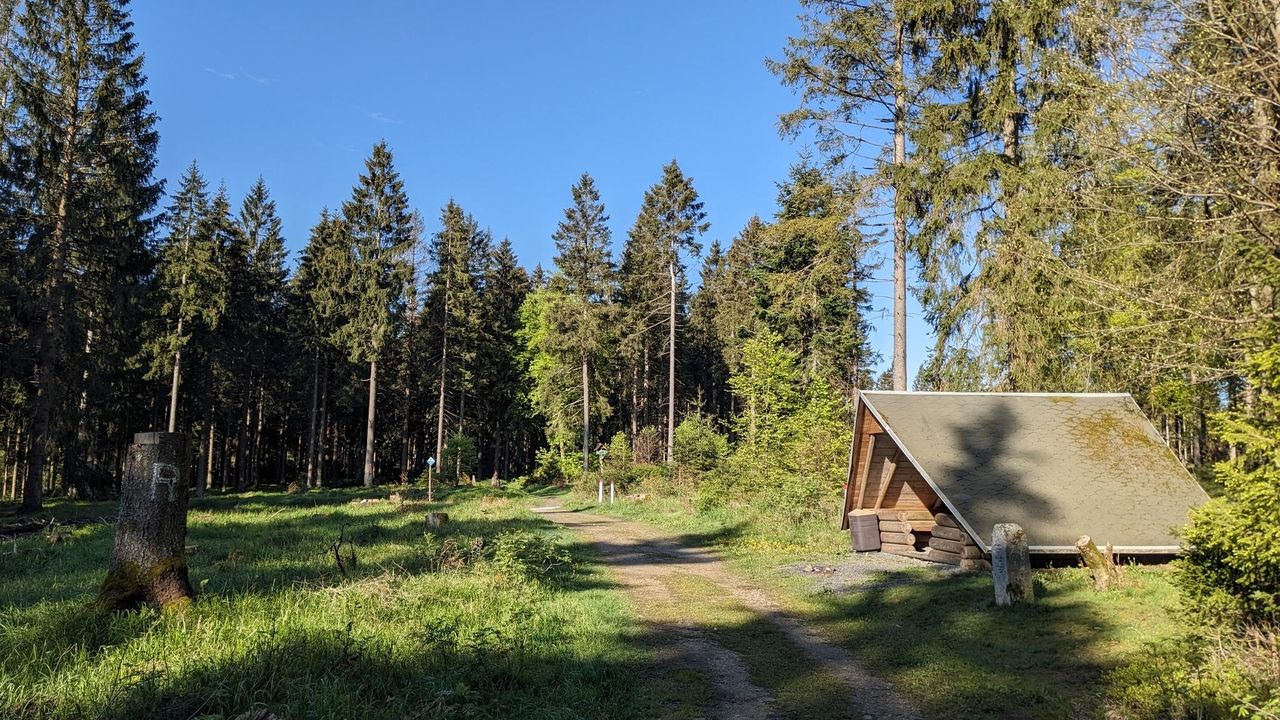
Zwei Tage raus! – Rad-Micro-Adventures in Thüringen
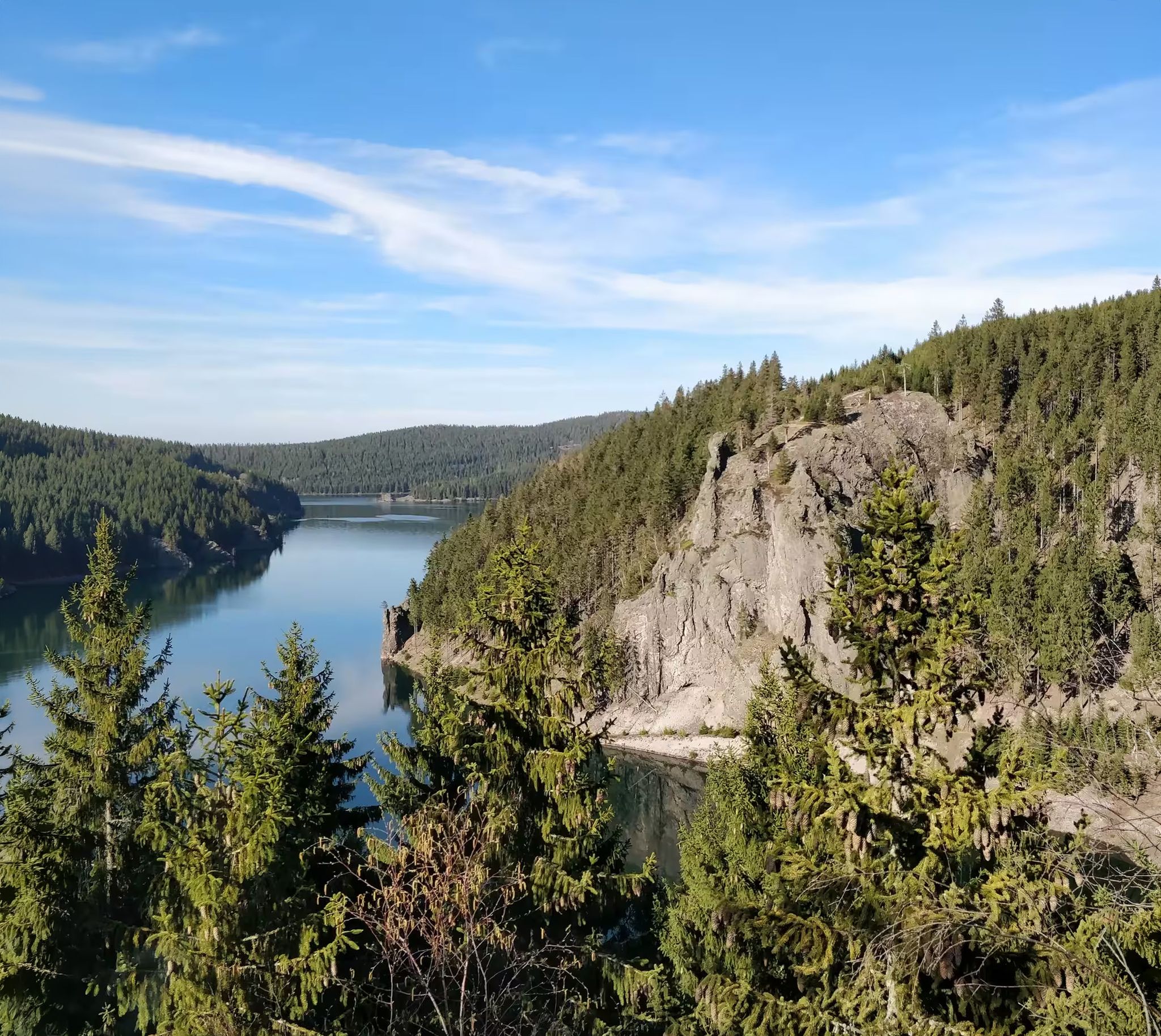
Zwischen Rennsteig und Talsperren – Mikroabenteuer im Thüringer Wald
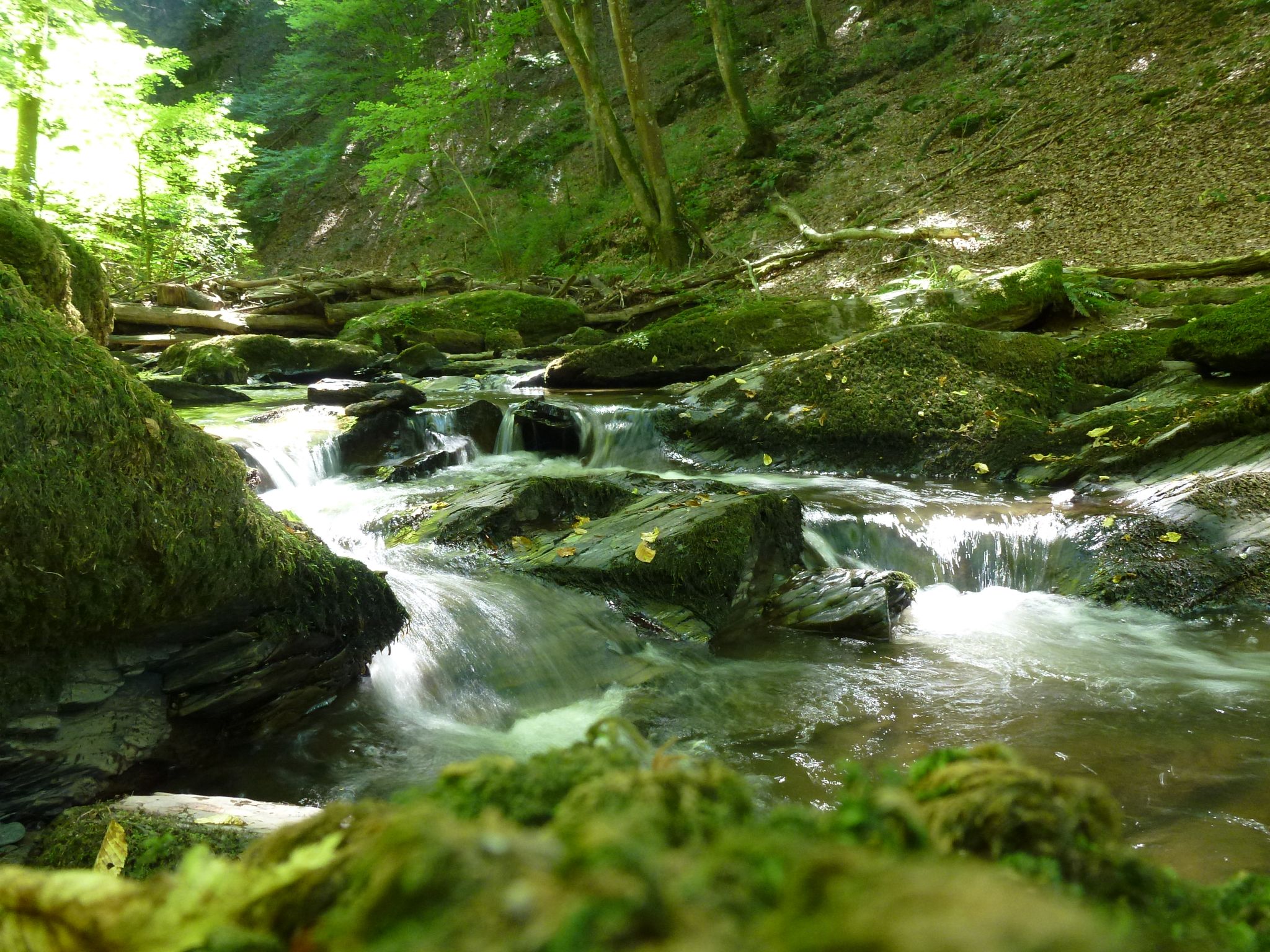
Die Magie von Klammen und Schluchten im Herzen Deutschlands
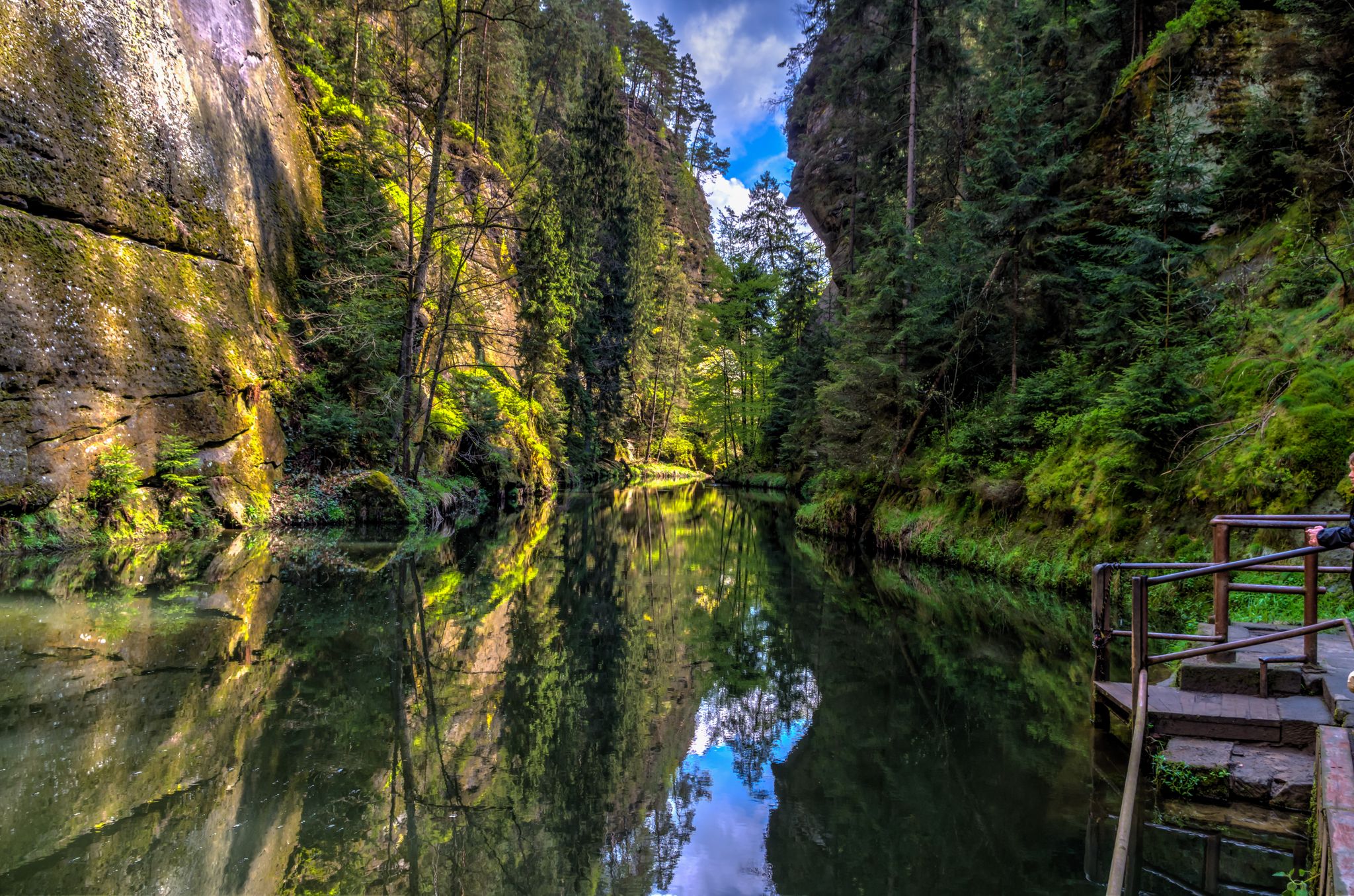
Die Magie von Klammen im Osten Deutschlands
Gravel biking around Tambach-Dietharz

Mountain Hikes around Tambach-Dietharz
Other adventures around Tambach-Dietharz


Tips from the Community

Observation tower located directly on the Rennsteig. It is situated on the 765-meter-high Krämerod of the same name, near the municipality of Floh-Seligenthal, and offers a good panoramic view of the forest landscape.
5
0

There are many beautiful paths to discover here.
0
0

Located on the Rennsteig E3 hiking trail, the boundary stone is a copy; the original aroused desires during the turmoil of the reunification period and was subsequently lost.
8
0

Beautiful view of the dam with turquoise blue water
1
0

The Krämerod observation tower is located directly on the Rennsteig trail and offers impressive views over the Thuringian Forest. Although the view may be partially obscured by fast-growing spruce trees, the panoramic view remains worth seeing.
2
0
The Possenröder Cross is a mysterious limestone stone cross on the Rennsteig Trail. The vertical inscription "Possenrod" and its origin are unclear, but it is often associated with a bloody crime. It stands on the historic Hohe Straße, once an important trade route between Erfurt and Frankfurt. Directly at the cross is a beautiful rest area with a shelter, benches, and tables, ideal for a break during your hike.
2
1

A covered shelter for several people. Next to it is a bench with a dedication from the donor: "In memory of their wedding on October 6, 2018, Ken Olivet & Parvanch Khosravi, Amersham, England."
1
0

Frequently Asked Questions
How many running routes are available in Tambach-Dietharz?
Tambach-Dietharz offers a comprehensive network of over 60 running routes. These trails cater to various fitness levels, with options ranging from moderate paths to more challenging routes through the Thuringian Forest.
What kind of terrain can I expect on the jogging trails around Tambach-Dietharz?
The jogging trails in Tambach-Dietharz are primarily characterized by dense woodlands, picturesque valleys, and mountain landscapes. You'll encounter varied terrain, including shaded forest paths, trails alongside natural waterfalls like the Spitterfall, and routes around scenic mountain lakes and dams. The region's proximity to the Rennsteig also means some routes offer ridge trails with breathtaking views.
Are there any easy or beginner-friendly running routes in Tambach-Dietharz?
Yes, while many routes are moderate to difficult, there are several easier options available. The extensive trail network includes paths suitable for beginners or those looking for a more relaxed run. Komoot lists 5 easy routes and 45 moderate routes, ensuring there's something for every ability.
What natural attractions can I see while running in Tambach-Dietharz?
Jogging in Tambach-Dietharz offers access to numerous natural highlights. You can explore paths leading to the Spitterfall, Thuringia's highest natural waterfall, or run alongside the mountain lake Ebertswiese and the historic Old Tambach Dam. The region also features the impressive Falkenstein rock, a natural monument. For specific viewpoints, consider routes like the View from Spießbergturm – Alte Ausspanne Shelter loop from Nesselgrundwiese, which offers expansive views over the Thuringian Forest.
Are there any circular running routes in the area?
Yes, many of the running routes around Tambach-Dietharz are designed as circular trails, allowing you to start and finish at the same point. An example is the View of the Schmalwasser Dam – Schmalwasser Dam loop from Tambach-Dietharz, which offers a scenic loop around the dam.
What do other runners say about the trails in Tambach-Dietharz?
The running routes in Tambach-Dietharz are highly rated by the komoot community, with an average score of 4.4 stars from over 20 reviews. Runners often praise the quiet woodlands, the varied terrain, and the well-maintained paths that allow for deep immersion in nature. Over 800 runners have used komoot to explore the area's diverse trails.
Are the running trails in Tambach-Dietharz suitable for families?
Tambach-Dietharz, as a climatic health resort, promotes well-being and offers a serene environment. While specific family-friendly running routes are not explicitly detailed, the extensive network includes easier paths that could be suitable for families looking for a gentle jog or walk. The 'Dinosaur Experience Trail' (GeoRoute 6) also offers an engaging route through nature that might appeal to families.
Can I bring my dog on the running trails?
The Thuringian Forest generally welcomes dogs on its trails, provided they are kept on a leash and owners adhere to local regulations. Given the region's natural setting and extensive forest paths, many routes are suitable for running with dogs. Always ensure to clean up after your pet and respect wildlife.
Are there any notable landmarks or viewpoints along the running routes?
Absolutely. Beyond the natural features, you can find several viewpoints and landmarks. For instance, the Hirschstein Viewpoint and the View of the Aschenbergstein offer stunning panoramas. The region also features the Great Inselsberg, a prominent mountain peak, and various shelters and stone markers along the trails.
What is the best time of year for running in Tambach-Dietharz?
Tambach-Dietharz is beautiful year-round. Spring and autumn offer pleasant temperatures and vibrant scenery, with autumn foliage being particularly stunning. Summer provides shaded trails through dense forests, ideal for escaping the heat. Even in winter, with appropriate gear, some trails can be enjoyed, though conditions may vary. As a climatic health resort, the fresh air is invigorating in any season.
Are there any running routes that pass by dams or reservoirs?
Yes, the region is home to several scenic dams. You can find routes that run alongside the Old Tambach Dam, which is over 100 years old, and the larger Schmalwasser Dam. The Steinerne Loch Viewpoint – Tambach-Dietharz Reservoir Inflow loop from Tambach-Dietharz is a moderate route that takes you near the Tambach-Dietharz Reservoir.
What is the longest running route available in Tambach-Dietharz?
One of the longer and more challenging routes is the Wachsenrasen Stone Shelter – Neuhöfer Wiese Shelter loop from Nesselgrundwiese. This trail extends for 18.1 miles (29.1 km) through extensive wooded areas, typically taking about 3 hours and 32 minutes to complete.
Most popular routes around Tambach-Dietharz
Most popular attractions around Tambach-Dietharz

Get inspired with the komoot mobile app


Explore more
Browse the best Running Trails & Routes in other regions.
