The best gravel rides around Saint-André-En-Vivarais
4.4
(32)
316
riders
13
rides
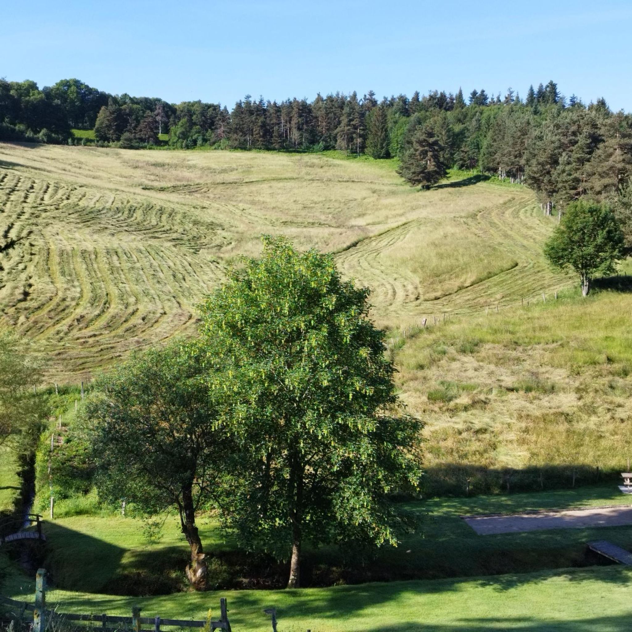
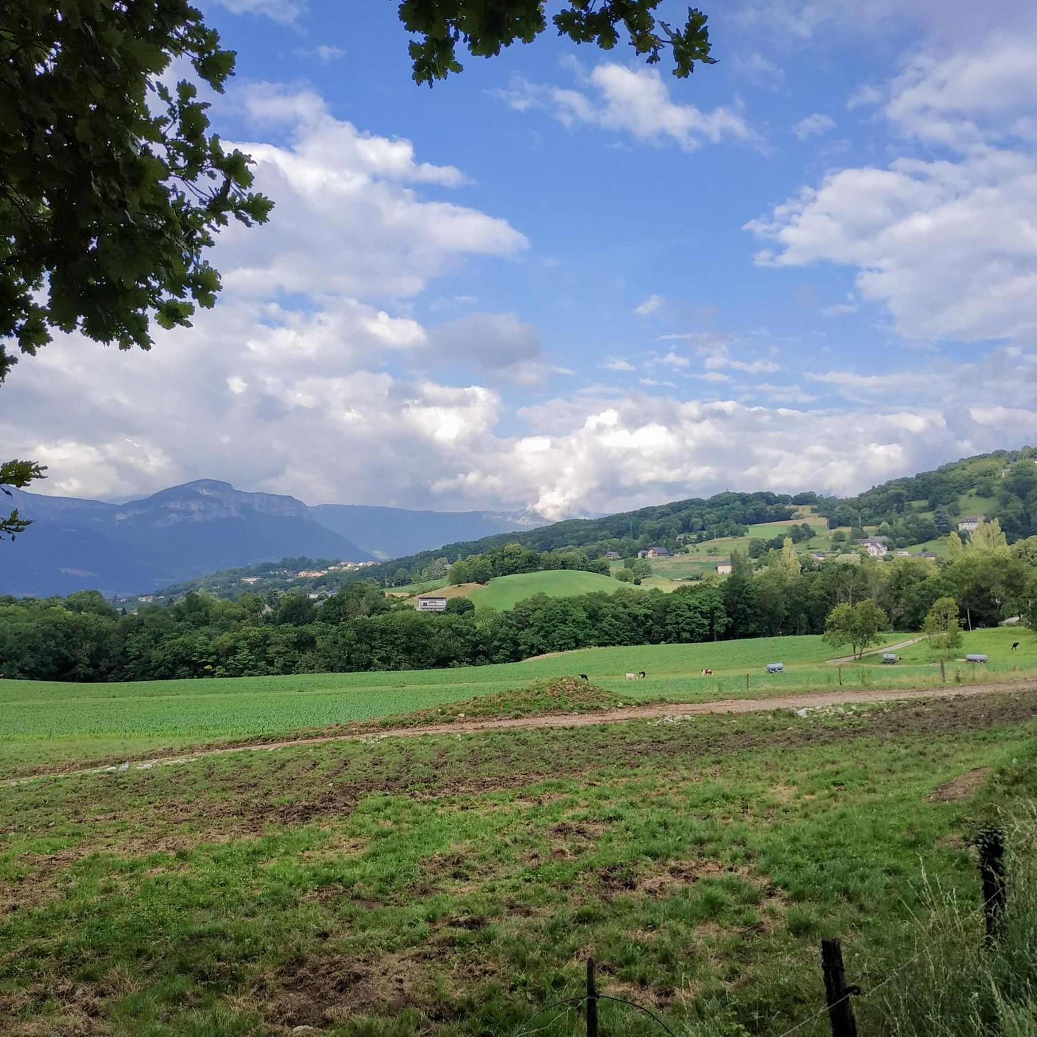
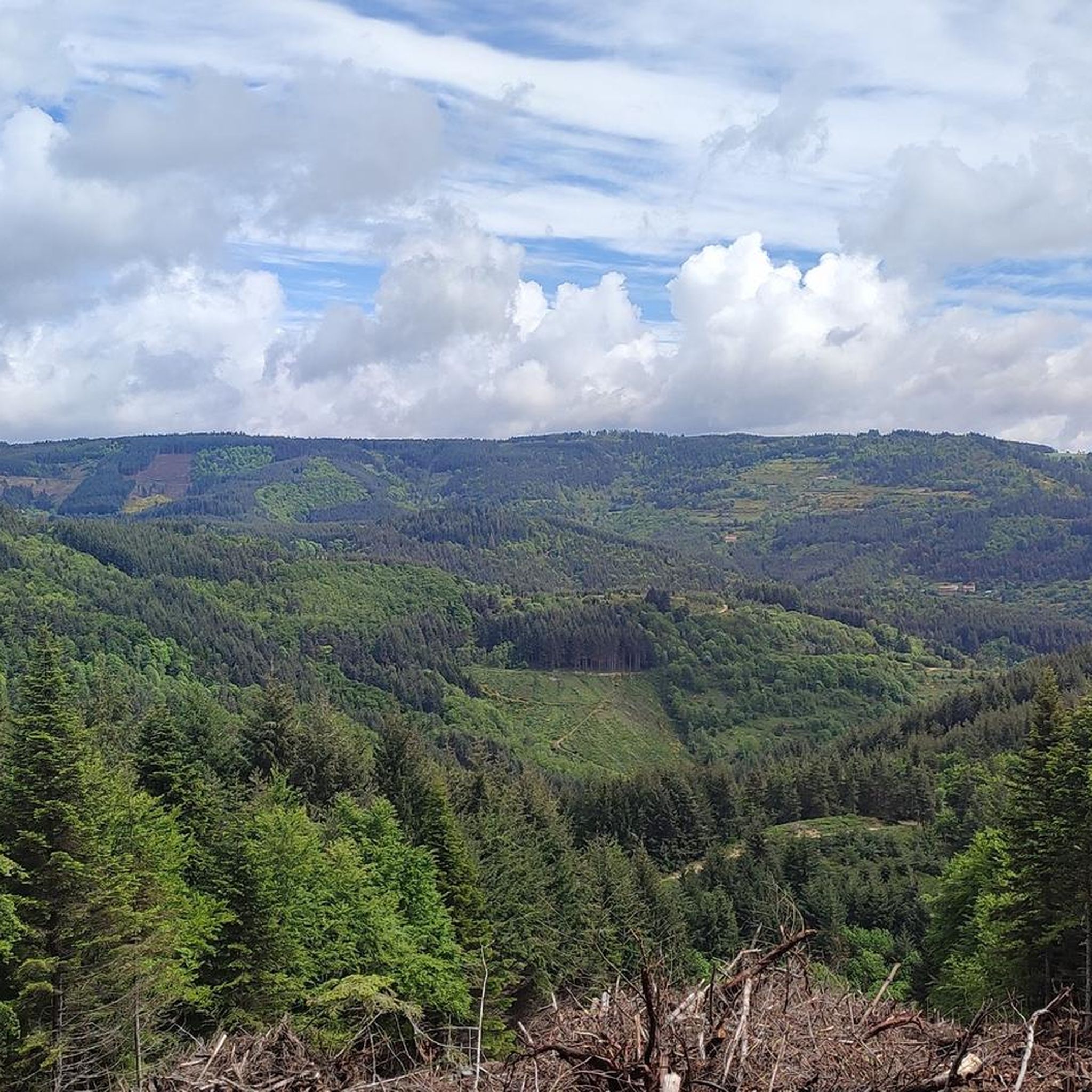
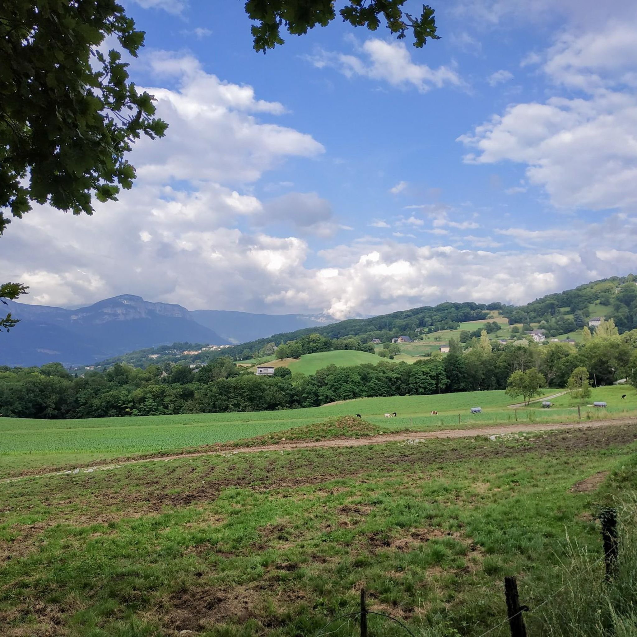
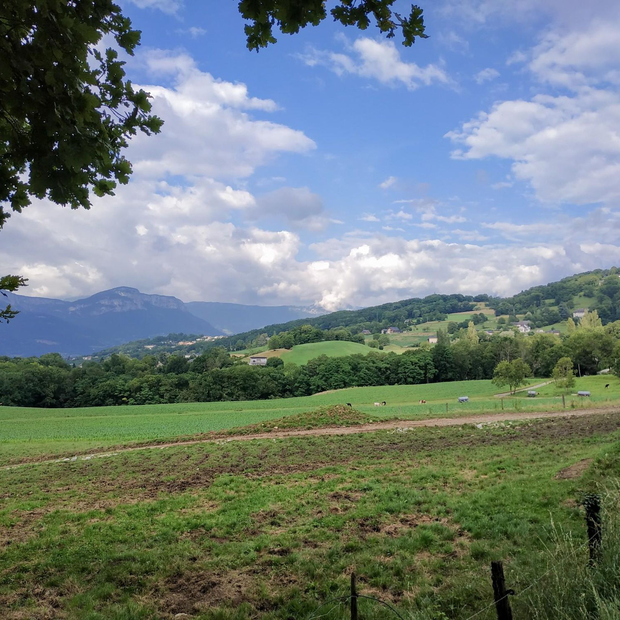
Gravel biking around Saint-André-En-Vivarais offers varied terrain situated at an altitude of approximately 1,070 meters, on the Atlantic-Mediterranean water divide. The region is characterized by extensive forests of fir, coniferous, beech, and chestnut trees, alongside undulating prairies and open areas. This landscape provides a mix of forest roads, less-trafficked departmental roads, and natural paths, leading to views over the high Doux valley and the Monts du Velay. The diverse environment is conducive to challenging gravel bike routes.
Best gravel bike…
Last updated: July 3, 2026
5.0
(8)
109
riders
72.0km
05:15
1,440m
1,440m
Hard gravel ride. Very good fitness required. Mostly paved surfaces. Suitable for all skill levels.
3.8
(4)
31
riders
27.2km
01:51
550m
550m
Hard gravel ride. Very good fitness required. Mostly paved surfaces. Suitable for all skill levels.

Sign up for free
4.7
(3)
22
riders
43.1km
02:53
830m
830m
Hard gravel ride. Very good fitness required. Mostly paved surfaces. Suitable for all skill levels.
18
riders
114km
08:17
2,420m
2,420m
Hard gravel ride. Very good fitness required. Mostly paved surfaces. Suitable for all skill levels.
4.8
(12)
117
riders
43.0km
03:00
770m
770m
Hard gravel ride. Very good fitness required. Mostly paved surfaces. Suitable for all skill levels.
Get access to more routes and recommendations from other explorers.
Sign up for free
Already have an account?
Our route recommendations are based on thousands of hikes, rides, and runs completed by other people on komoot.
Start today with a free account
Your next adventure awaits.
Login or Signup
Tips from the Community


Excellent cuisine! Very friendly service
0
0

A large, refreshing tunnel
0
0

In 10 days we will be back on this beautiful route :-)
0
0

Dolce via Ardèche greenway old railway gravel ride magnificent
0
0

Perfect location, visible from afar
0
0

Even if the greenway no longer passes over the bridge, it bears witness to the work carried out at the time to avoid a scree zone. More than 100 years after its construction and after having seen hundreds of trains pass by, it is still there, and that's so much the better!
0
0

ideal to do in force, if you have little time, or on a stroll for nice views and picturesque panoramas.
0
0
Frequently Asked Questions
How many gravel bike trails are available around Saint-André-En-Vivarais?
There are 15 gravel bike trails listed around Saint-André-En-Vivarais on komoot. Most of these routes are considered difficult, offering a challenge for experienced riders, with a few easier sections available.
What kind of terrain can I expect on gravel bike routes in Saint-André-En-Vivarais?
The terrain around Saint-André-En-Vivarais is diverse, situated at an altitude of approximately 1,070 meters. You'll encounter extensive forests of fir, coniferous, beech, and chestnut trees, alongside undulating prairies and open areas. Routes often combine forest roads, less-trafficked departmental roads, and natural paths, providing a varied experience with significant elevation changes.
Are there any easy gravel bike trails suitable for beginners in the region?
While most of the gravel routes around Saint-André-En-Vivarais are rated as difficult, there is at least one easier option available. The region's diverse landscape does offer some sections that are less challenging, but overall, it caters more to experienced riders.
What are some notable natural features or viewpoints I can expect to see on these routes?
The region offers magnificent views over the high Doux valley and the Monts du Velay, including the Monts Mézenc and Lizieux, particularly from points like the Suc de Beauvert. You'll also ride through extensive forests, past small streams, and tourbières (peat bogs), adding to the natural beauty. Some routes also pass by significant mountain passes like Buisson Pass and Rouvey Pass.
What do other gravel bikers enjoy most about cycling in Saint-André-En-Vivarais?
The area is highly rated by the komoot community, with an average score of 4.3 stars from over 25 reviews. Riders often praise the varied terrain, the extensive forest passages, and the rewarding views over the surrounding natural landscape. The challenging nature of many routes is also a highlight for those seeking a demanding ride.
Are there any long-distance gravel cycling routes available?
Yes, for those looking for a longer adventure, routes like the Tunnel des Nonnières – Viewpoint on the Dolce Via loop from Gare de Saint-Agrève cover a substantial distance of 114.1 km with significant elevation gain, making it suitable for long-distance gravel cycling.
Can I find circular gravel bike routes in Saint-André-En-Vivarais?
Many of the gravel routes in the area are designed as loops, allowing you to start and finish at the same point. Examples include the Viewpoint on the Dolce Via – Viaduc de Chabranç loop from Saint-Agrève and the Tunnel Du Bon Pas – Viaduc de Chabranç loop from Saint-Agrève.
What is the best season for gravel biking in this region?
The climate in Saint-André-En-Vivarais is generally mild, making spring, summer, and autumn ideal for gravel biking. However, due to its altitude, winters can be harsh with strong winds and low temperatures, so it's best to check local weather conditions if planning a winter ride.
Are there any family-friendly gravel biking options?
While the majority of routes are rated difficult, the region's extensive network of trails and less-trafficked roads may offer some easier sections suitable for families. It's recommended to check individual route details for elevation and surface type to find the most appropriate options.
Where can I find parking for gravel bike trails in Saint-André-En-Vivarais?
Many routes, particularly those starting from nearby towns like Saint-Agrève, will have designated parking areas. Given the region's focus on outdoor activities, you can typically find parking in or near the main villages and trailheads. Always check local signage for specific parking regulations.
Are there any interesting landmarks or attractions near the gravel routes?
Yes, beyond the natural beauty, you can find several points of interest. The Lake Devesset, a significant nautical base, is just a few kilometers away. Historically, the region features attractions like the Château de Montivert (13th century) and the ruins of Château de Beaudiner, which add cultural depth to your rides.
What is the typical elevation gain on gravel routes in the Vivarais region?
Given the region's high altitude and undulating terrain, gravel routes often feature significant elevation gain. For example, a challenging route like the Viewpoint on the Dolce Via – Viaduc de Chabranç loop from Saint-Agrève involves over 1400 meters of ascent, providing a demanding workout for riders.
Most popular routes around Saint-André-En-Vivarais
Most popular attractions around Saint-André-En-Vivarais

Get inspired with the komoot mobile app


Explore more
Browse the best Gravel rides in other regions.
