The best road cycling routes around Saint-André-En-Vivarais
4.5
(103)
2,446
riders
170
rides
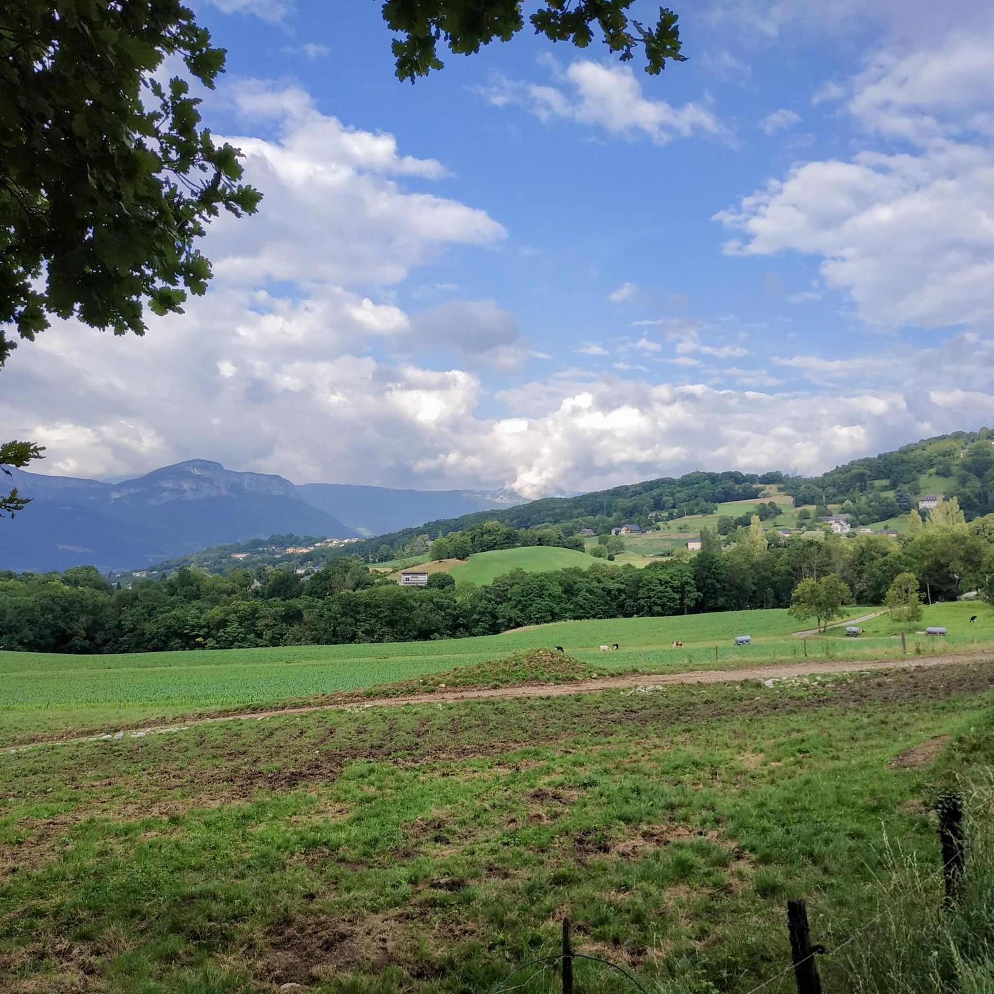
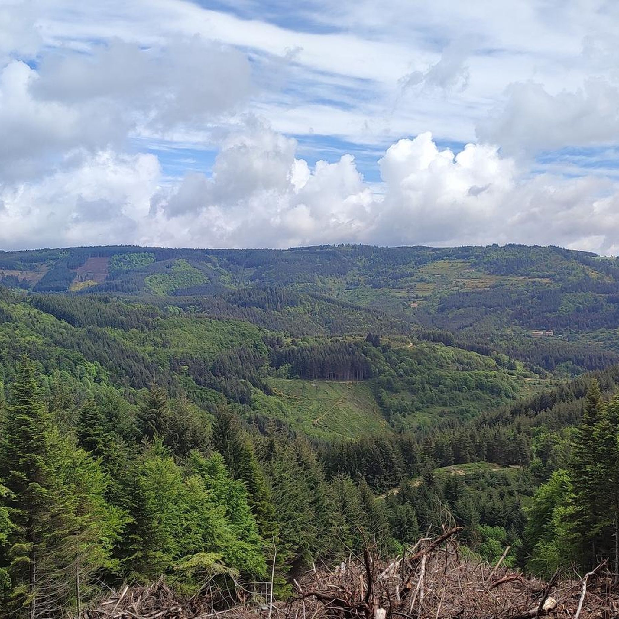
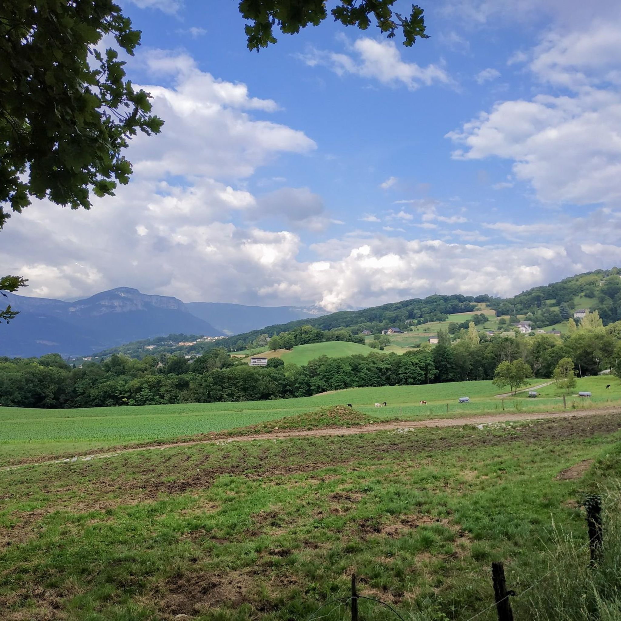
Road cycling routes around Saint-André-En-Vivarais traverse a diverse landscape characterized by rolling terrain and volcanic domes, known locally as "sucs," which average 1,100 meters in altitude. This creates a varied cycling environment with significant elevation changes. The area is extensively forested, predominantly with spruce trees, offering shaded routes through one of France's most wooded communes. Beyond the forests, cyclists encounter green meadows and scattered hamlets, providing panoramic vistas from its position on the Atlantic-Mediterranean watershed.
Best road cycling routes around…
Last updated: July 1, 2026
5.0
(6)
42
riders
51.8km
02:45
870m
870m
Moderate road ride. Good fitness required. Mostly well-paved surfaces and easy to ride.
4.7
(3)
56
riders
Moderate road ride. Good fitness required. Mostly well-paved surfaces and easy to ride.

Sign up for free
5.0
(2)
13
riders
54.3km
02:54
1,030m
1,030m
Hard road ride. Very good fitness required. Mostly well-paved surfaces and easy to ride.
3.0
(1)
15
riders
Easy road ride. Great for any fitness level. Mostly well-paved surfaces and easy to ride.
15
riders
52.1km
02:56
1,110m
1,110m
Hard road ride. Very good fitness required. Mostly well-paved surfaces and easy to ride.
Get access to more routes and recommendations from other explorers.
Sign up for free
Already have an account?
Our route recommendations are based on thousands of hikes, rides, and runs completed by other people on komoot.
Start today with a free account
Your next adventure awaits.
Login or Signup

Tips from the Community

Lively place, lots of shops.
0
0


Pilgrimage site with many sights and great views.
1
0

Arrival point of the Dolce Via and numerous roads, with a magnificent view of the Sucs and the Mézenc
1
0
With a magnificent view of the Alps, from the Vercors to Mont-Blanc
1
0

Place Jean Béal is located in the heart of the village of Saint-Bonnet-le-Froid. It overlooks the Saint-Bonnet church and is an ideal stop for a coffee or for lunch.
0
0
This pretty neo-Romanesque church is located in the heart of the village. It was the work of the architect Louis Besset.
0
0

end or beginning of the tour
1
0
Frequently Asked Questions
How many road cycling routes are available around Saint-André-En-Vivarais?
There are over 160 road cycling routes in the Saint-André-En-Vivarais area, offering a wide range of options for different skill levels and preferences. The komoot community has explored these routes over 3000 times.
What kind of terrain can I expect on road cycling routes in Saint-André-En-Vivarais?
The region features diverse terrain, characterized by rolling hills and volcanic domes, locally known as 'sucs,' which average 1,100 meters in altitude. You'll encounter significant elevation changes, extensive spruce forests providing shaded routes, and open green meadows with panoramic views.
Are there any easy road cycling routes suitable for beginners or families?
Yes, Saint-André-En-Vivarais offers several easy road cycling routes. For instance, the Col de Clavière - 1088 m – Saint-Agrève Village loop from Manoir du Grail is an easy 10.4 km (6.5 miles) path, perfect for a more relaxed ride.
Where can I find challenging road cycling routes with significant climbs?
For those seeking a challenge, the area's volcanic topography provides routes with substantial elevation gain. The Rochepaule Pass – Freydaparet Pass (1,115 m) loop from Devesset is a difficult 42.4 km (26.3 miles) route with over 930 meters of ascent, offering a demanding experience.
What are some notable points of interest I can see along the road cycling routes?
As you cycle, you can explore various points of interest. Consider routes that pass by the scenic Lake Devesset, or incorporate climbs over mountain passes like Buisson Pass or Rouvey Pass, which offer great views. The region also has historical châteaux and the restored Maison de la Béate.
What is the best time of year for road cycling in Saint-André-En-Vivarais?
The extensive forests provide shaded routes, making cycling pleasant during warmer months. Given the altitude (over 1,000 meters), spring and autumn offer comfortable temperatures and beautiful scenery. Summers are also enjoyable, especially with the tree cover.
Are there any circular road cycling routes available?
Yes, many routes in the area are loops. For example, the popular From Via Fluvia to the border with Ardèche - loop is a moderate 51.8 km (32.2 miles) circular route, and the Viewpoint over the forest loop from Saint-Bonnet-le-Froid offers scenic vistas on a 43.5 km (27.0 miles) loop.
What do other road cyclists say about the routes in Saint-André-En-Vivarais?
The road cycling routes in Saint-André-En-Vivarais are highly rated by the komoot community, with an average score of 4.5 stars from over 90 reviews. Cyclists often praise the varied terrain, the beauty of the extensive forests, and the panoramic views from the higher elevations.
Are there options for longer distance road cycling routes near Saint-André-En-Vivarais?
Yes, the region offers routes that can be combined or extended for longer distances. The Col de Clavière - 1088 m – Saint-Agrève Village loop from Saint-Bonnet-le-Froid, at 54.5 km (33.8 miles), provides a good foundation for a longer ride, and many other routes can be linked to create extended tours through the Ardèche and Haute-Loire regions.
What are the typical elevation gains on road cycling routes in this area?
Given the rolling terrain and volcanic domes, elevation gains can be significant. Moderate routes often feature climbs of 500-800 meters, while difficult routes can exceed 900 meters of ascent, such as the Rochepaule Pass – Freydaparet Pass (1,115 m) loop from Devesset with over 930 meters of climbing.
Is public transport available to reach the cycling routes in Saint-André-En-Vivarais?
Saint-André-En-Vivarais is a rural commune. While specific public transport options directly to trailheads might be limited, it's advisable to check local bus services or regional transport networks for connections to larger towns nearby, from which you can cycle to the starting points of routes.
Are there any facilities like cafes or restaurants along the road cycling routes?
The village of Saint-André-En-Vivarais and scattered hamlets in the region may offer cafes or small eateries. For more options, consider routes that pass through larger villages like Saint-Bonnet-le-Froid or Saint-Agrève, where you'll find more amenities to refuel during your ride.
Most popular routes around Saint-André-En-Vivarais
Most popular attractions around Saint-André-En-Vivarais

Get inspired with the komoot mobile app


Explore more
Browse the best Road cycling routes in other regions.
