The best gravel rides around Champtercier
4.3
(13)
90
riders
25
rides
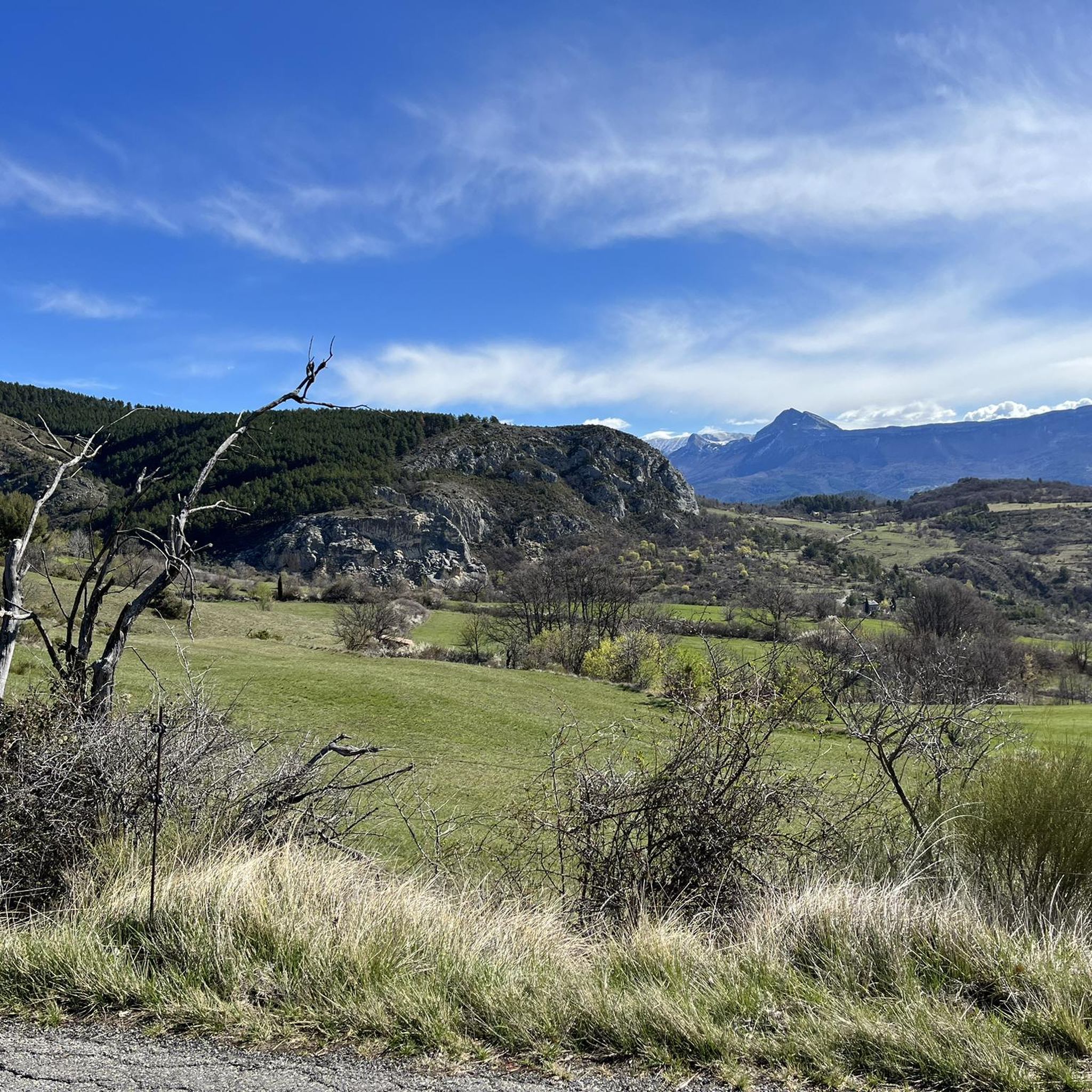
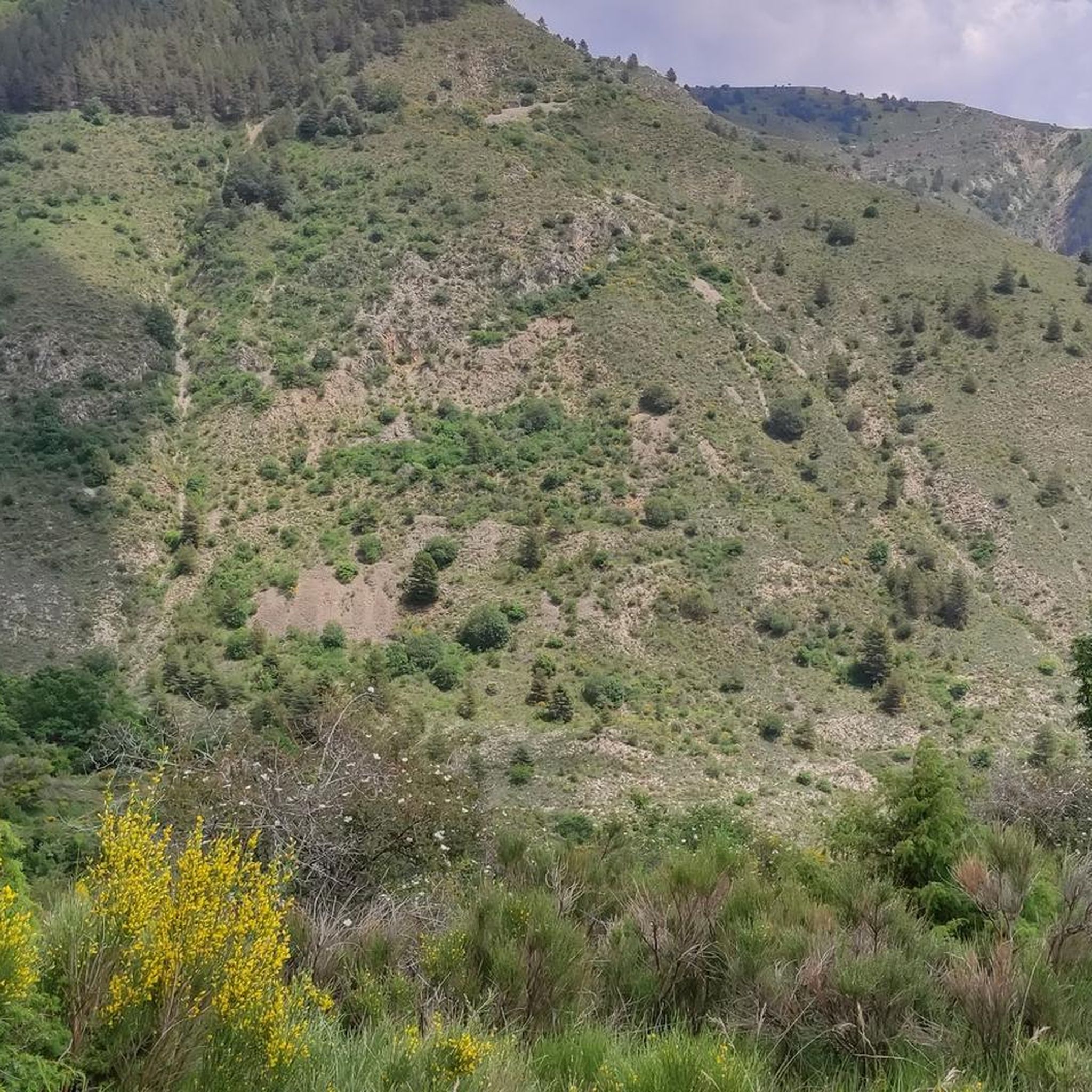
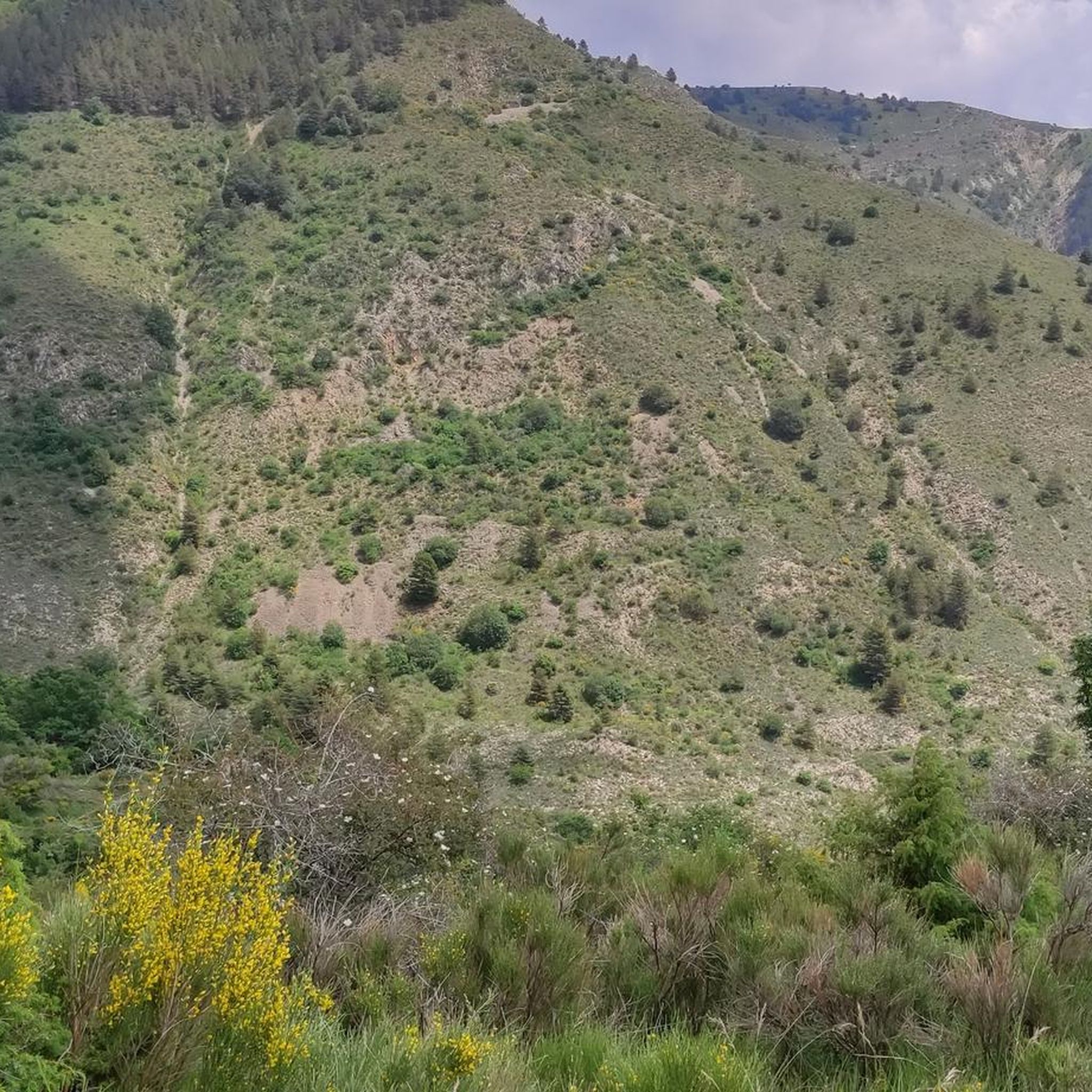
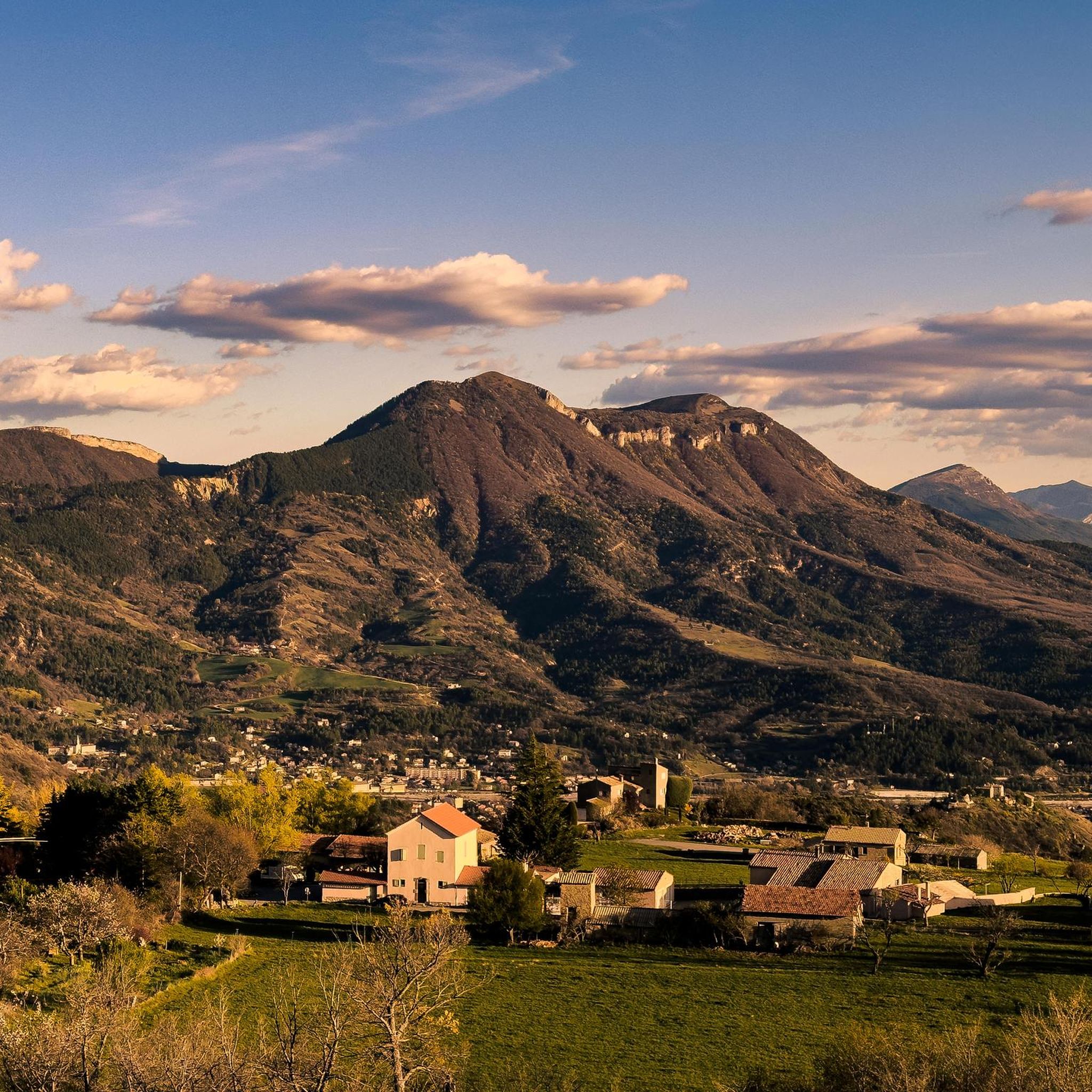
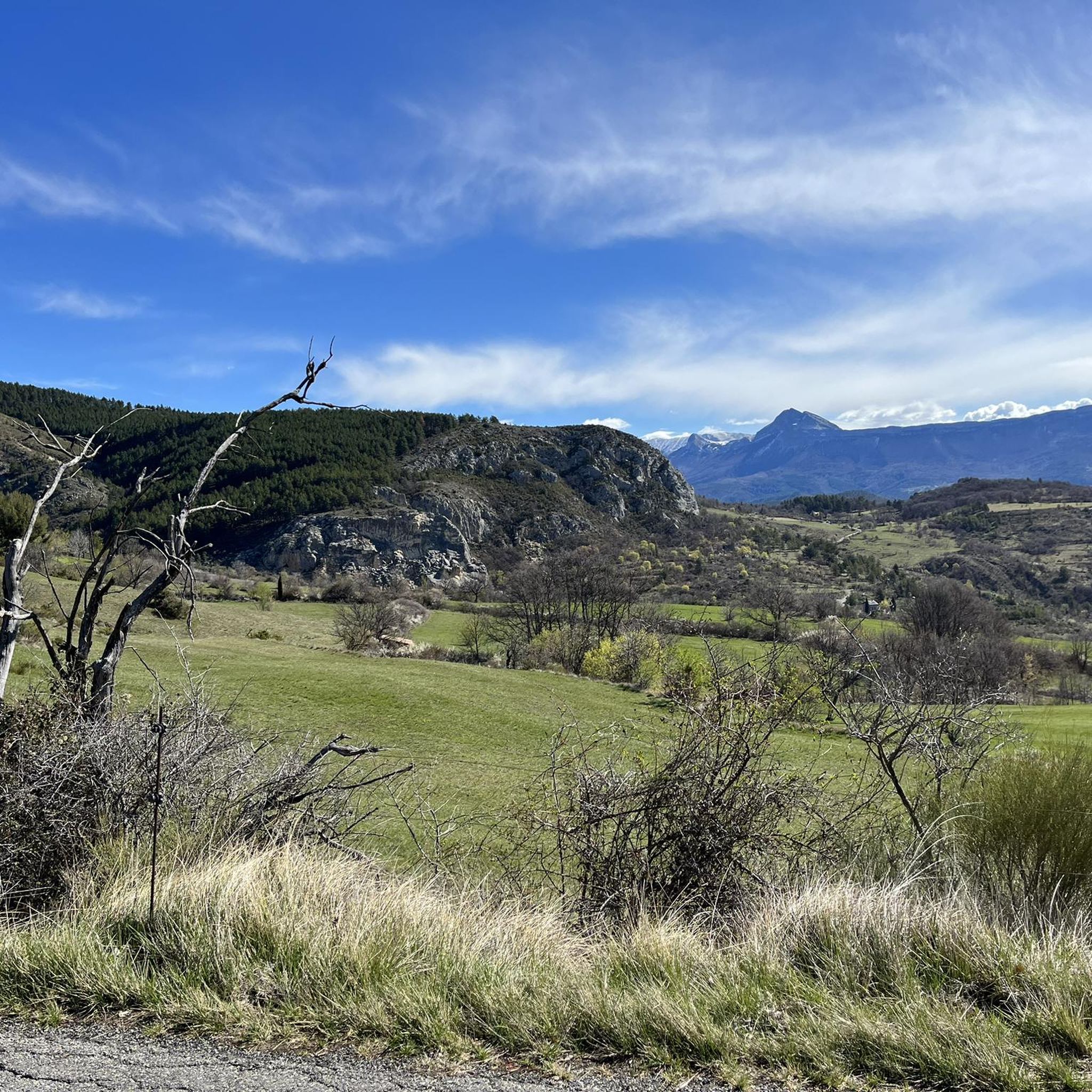
Gravel biking around Champtercier offers varied terrain in the Alpes-de-Haute-Provence region of France. Situated at an altitude of 700 meters, the area features mid-mountain landscapes with its highest point at Pic d'Oise (1,140 meters). The routes traverse vast cultivated fields, rural parks, and winding paths through valleys and hills, deliberately avoiding major traffic arteries. This setting provides a mix of challenging climbs and scenic rides for gravel biking enthusiasts.
Best gravel bike trails around Champtercier
- The most popular gravel bike trail is Perspectives – View of Saint-Jurs loop from Mézel - Châteauredon, a 50.3 miles (80.9 km) trail that takes 6 hours 3 minutes to complete. This extensive route explores the wider regional landscapes, offering long stretches of varied terrain.
- Another top favourite among local gravel bikers is Digne-les-Bains – Digne-les-Bains loop from Digne-les-Bains, a difficult 21.5 miles (34.7 km) path. This route features significant elevation changes through the Digne-les-Bains area.
- Local gravel bikers also love the Ruhige D12 – Malijai loop from Aiglun, a 24.5 miles (39.4 km) trail leading through varied terrain, often completed in about 2 hours 39 minutes.
- Gravel biking around Champtercier is defined by mid-mountain elevation, serene rural landscapes, and paths winding through valleys and hills. The network offers options for easy, moderate, and difficult routes, catering to various skill levels.
- The routes in Champtercier are highly rated by the komoot community with an average score of 3.9 stars from over 10 reviews. More than 50 gravel bikers have used komoot to explore Champtercier's varied terrain.
Last updated: July 3, 2026
4.8
(5)
30
riders
59.4km
04:46
1,300m
1,300m
Hard gravel ride. Very good fitness required. Mostly paved surfaces. Suitable for all skill levels.
8
riders
80.3km
05:56
1,640m
1,640m
Hard gravel ride. Very good fitness required. Mostly paved surfaces. Suitable for all skill levels.

Sign up for free
8
riders
34.9km
03:01
890m
890m
Hard gravel ride. Very good fitness required. Mostly paved surfaces. Suitable for all skill levels.
4.3
(3)
14
riders
40.2km
02:45
670m
670m
Hard gravel ride. Very good fitness required. Mostly paved surfaces. Suitable for all skill levels.
5.0
(1)
9
riders
25.1km
01:35
150m
150m
Moderate gravel ride. Good fitness required. Mostly paved surfaces. Suitable for all skill levels.
Get access to more routes and recommendations from other explorers.
Sign up for free
Already have an account?
Our route recommendations are based on thousands of hikes, rides, and runs completed by other people on komoot.
Start today with a free account
Your next adventure awaits.
Login or Signup
Tips from the Community

SUPERB DOWNHILL MOUNTAIN BIKING TRAIL
0
0


Fancy a little adventure? The signposted MTB route leads right through the stream. When we were there, the rocks were not slippery and the water was only ankle-deep. So it's quite doable
0
0

Black earth is marl, a sedimentary rock!
2
0

Interesting castle, but private.
3
0
Small church in the village.
3
0
Frequently Asked Questions
How many gravel bike trails are available around Champtercier?
There are over 20 gravel bike routes around Champtercier, offering a diverse range of experiences. You'll find options for various skill levels, including 1 easy, 5 moderate, and 16 difficult trails, ensuring there's something for every gravel biking enthusiast.
What kind of terrain can I expect on gravel bike trails near Champtercier?
The terrain around Champtercier is characterized by its mid-mountain elevation, with the village itself at 700 meters and the highest point at Pic d'Oise (1,140 meters). You can expect a mix of winding paths through valleys and hills, vast cultivated fields, and rural parks, all designed to avoid major traffic arteries for a more natural experience.
Are there any circular gravel bike routes around Champtercier?
Yes, many of the gravel routes in the region are designed as loops. For example, the challenging Digne-les-Bains – Digne-les-Bains loop from Digne-les-Bains covers 34.6 km, offering a great circular ride through the local landscape.
What are some notable natural attractions or viewpoints along the gravel bike routes?
The region offers stunning natural beauty. You might encounter geological wonders like the Ichthyosaur Fossil or the unique Les Robines (Black Marl Hills), both part of the Réserve Naturelle Géologique de Haute-Provence. For panoramic views, consider routes that pass near the View of Entrages.
What do other gravel bikers say about the trails in Champtercier?
The gravel biking routes around Champtercier are highly regarded by the komoot community, holding an average rating of 3.8 out of 5 stars from over 16 reviews. Many riders appreciate the varied terrain and the serene, natural environment of the Alpes-de-Haute-Provence region.
Are there any specific trails that offer a good challenge for experienced gravel bikers?
Absolutely. For experienced riders seeking a challenge, the The Hunters' Trail – Ammonite slab loop from Digne-les-Bains is a difficult 35.1 km route with significant elevation changes. Another demanding option is the Digne-les-Bains – Fontbelle Pass loop from Digne-les-Bains, which is 60.0 km long and leads through mountainous terrain.
Can I find long-distance gravel routes near Champtercier?
Yes, the region is part of the 'Provence Alpes Outdoor' initiative, which promotes extensive gravel biking. While not directly within Champtercier, the broader area features bikepacking itineraries like the 'Gravel Tour du Verdon' and the 'Gravel Tour Géoparc' for those looking for multi-day adventures. For a challenging day trip, the Perspectives – Saint Jurs loop from Mézel - Châteauredon is a difficult 80.9 km route exploring wider regional landscapes.
What are some cultural or historical points of interest I can visit while gravel biking?
Beyond the natural landscapes, you can explore charming local sites. The Saint-Michel-de-Cousson Chapel offers a glimpse into local heritage. The nearby town of Digne-les-Bains, just 10 minutes from Champtercier, also provides a cultural hub with its own attractions.
Is Champtercier a good base for exploring the wider Provence Alpes Outdoor gravel network?
Champtercier is an excellent starting point. Its proximity to Digne-les-Bains and its location within the Alpes-de-Haute-Provence region mean you're well-positioned to access the broader 'Provence Alpes Outdoor' network. This initiative offers 21 signposted or GPX-tracked gravel routes across four sectors, providing extensive options for exploration.
Are there any specific trails that are particularly scenic?
Many routes offer picturesque views of the 'pure air and generous nature' of Provence. The Chasseurs Trail Descent – Digne-les-Bains loop from Digne-les-Bains, for instance, features significant elevation changes through the Digne-les-Bains area, providing varied and scenic vistas throughout your ride.
What is the best time of year for gravel biking in Champtercier?
The region generally offers pleasant conditions for outdoor activities. Spring and autumn are often ideal, with milder temperatures and vibrant landscapes. Summers can be warm, but the mid-mountain elevation and shady trails in areas like the rural park can provide some relief. Winters might see cooler temperatures, but specific trail conditions would depend on local weather.
Most popular routes around Champtercier
Most popular attractions around Champtercier

Get inspired with the komoot mobile app


Explore more
Browse the best Gravel rides in other regions.
