The best road cycling routes around Champtercier
4.6
(165)
4,040
riders
84
rides
Road cycling routes around Champtercier are set within the Alpes-de-Haute-Provence region of France, offering diverse terrain for cyclists. The village itself sits at an average altitude of 700 meters, surrounded by cultivated fields and pure air. The area features varied landscapes, including the Pic d'Oise at 1,140 meters, and is in proximity to natural sites such as the Clue de Barles gorge and several picturesque lakes. This location provides access to mountain passes and scenic roads characteristic of the French…
Last updated: August 23, 2026
4.7
(9)
274
riders
62.7km
03:03
930m
930m
Hard road ride. Very good fitness required. Mostly well-paved surfaces and easy to ride.
4.8
(6)
412
riders
87.1km
04:20
1,370m
1,370m
Hard road ride. Very good fitness required. Mostly well-paved surfaces and easy to ride.

Sign up for free
4.8
(8)
231
riders
97.6km
04:48
1,510m
1,510m
Hard road ride. Very good fitness required. Mostly well-paved surfaces and easy to ride.
4.3
(12)
154
riders
60.0km
02:56
880m
880m
Moderate road ride. Good fitness required. Mostly well-paved surfaces and easy to ride.
4.5
(6)
99
riders
51.8km
02:31
740m
740m
Moderate road ride. Good fitness required. Mostly well-paved surfaces and easy to ride.
Get access to more routes and recommendations from other explorers.
Sign up for free
Already have an account?
Our route recommendations are based on thousands of hikes, rides, and runs completed by other people on komoot.
Start today with a free account
Your next adventure awaits.
Login or Signup
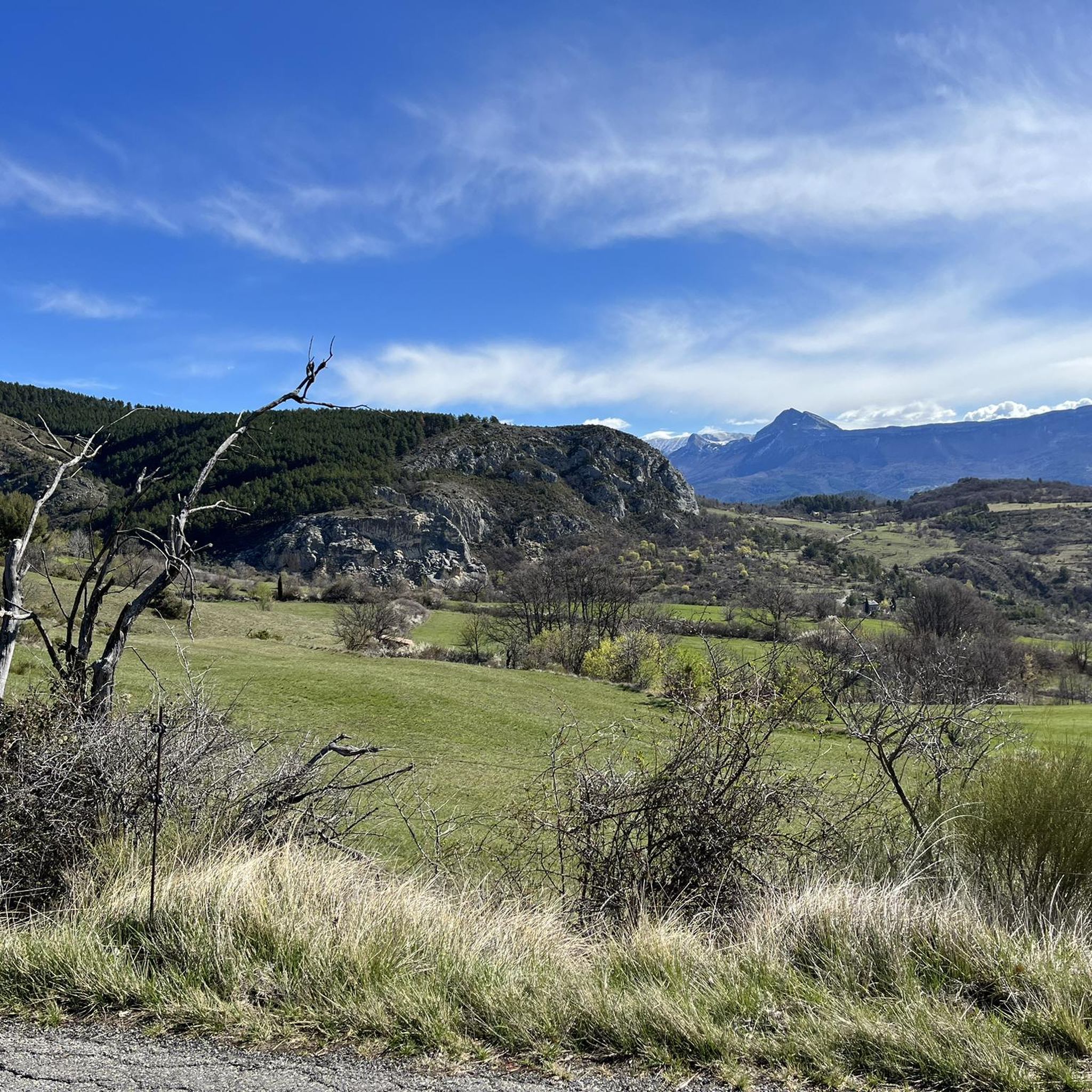
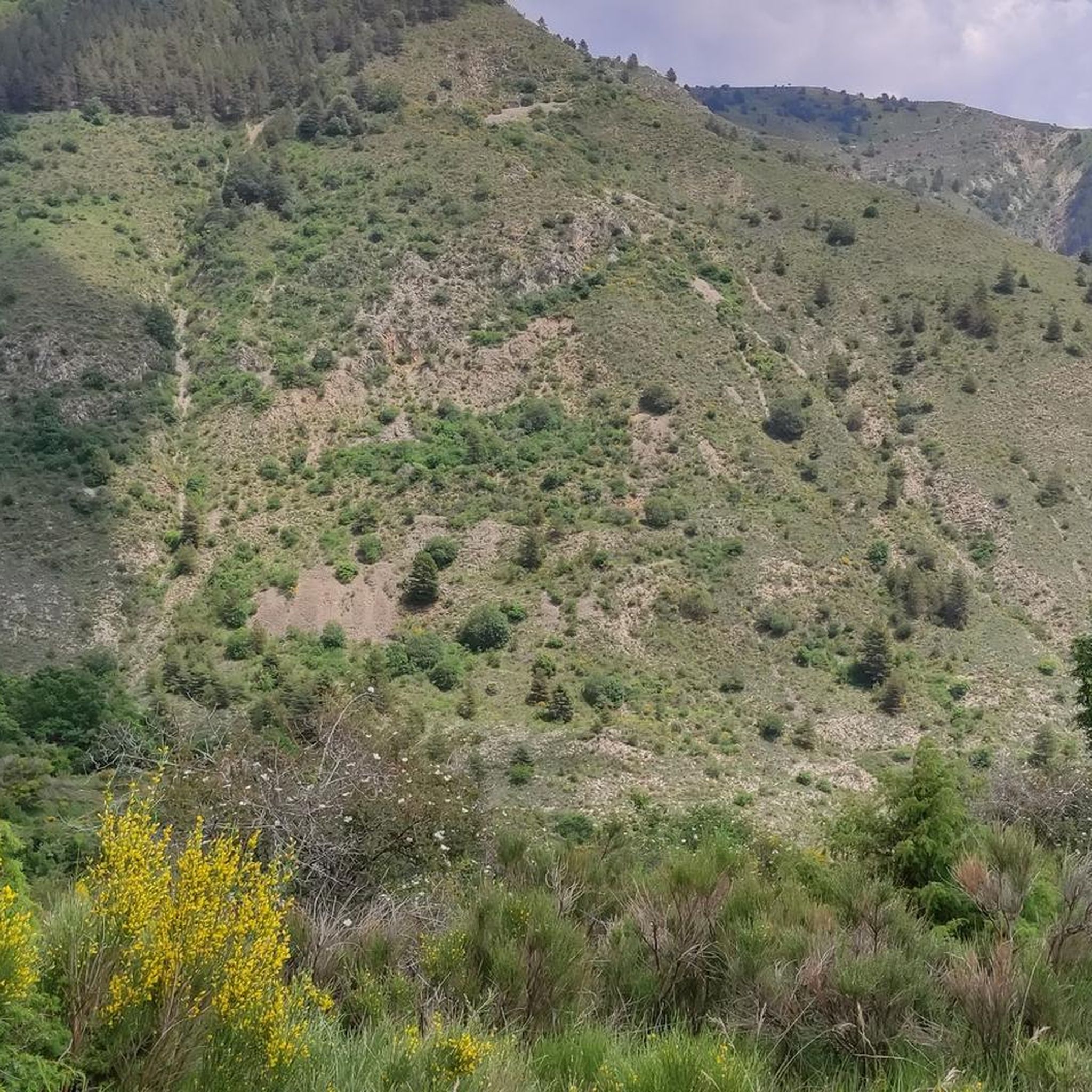
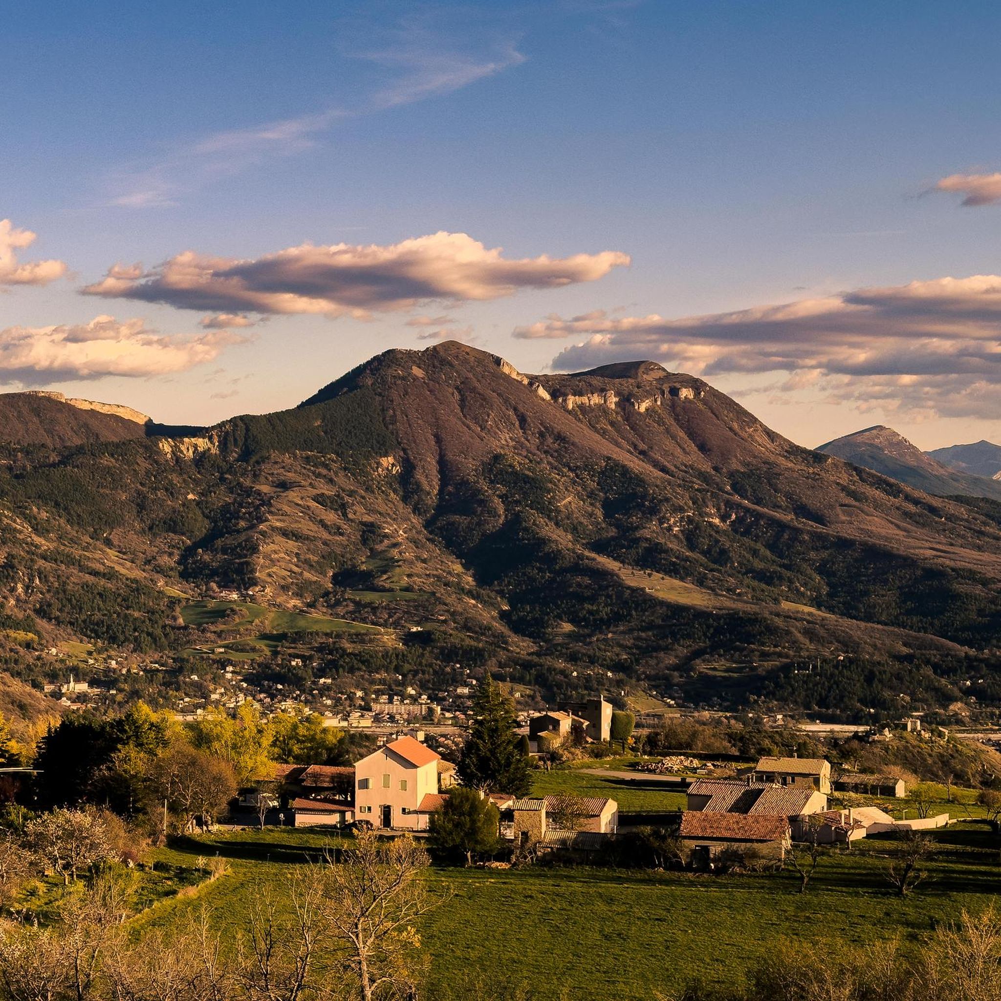
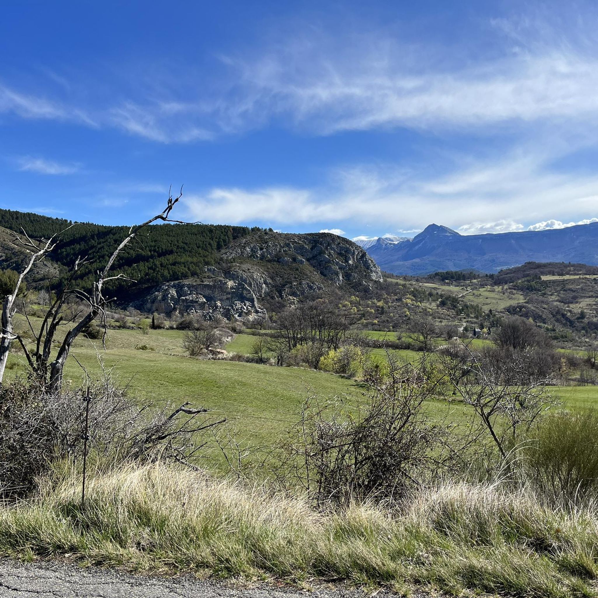

Tips from the Community

impressive from below. The tunnel, however, hides part of the view
0
0

A quite exceptional panorama on a very little-frequented road. I highly recommend this route between the Col d'Hysope and Sisteron via the Col de Fontbelle
0
0
A piece of ancient history awaits you here
0
0

climb suitable for everyone, with very gentle and regular slopes
0
0

Magnificent citadel facing the Rocher de la Baume. The coffee break in Sisteron is very pleasant.
0
0

Great view over the fortress, town and rock.
1
0

Climb with a very beautiful road surface, the gradients increase as you go up.
13
0
The climb up this hill is very beautiful, with sections with difficult slopes.
13
0
Frequently Asked Questions
What kind of terrain can I expect on road cycling routes around Champtercier?
Road cycling around Champtercier offers a diverse landscape, ranging from cultivated fields surrounding the village to challenging mountain passes. The region, part of the Alpes-de-Haute-Provence, features varied elevation profiles, including climbs towards the Pic d'Oise (1,140 meters) and scenic routes near natural gorges like the Clue de Barles. You'll find a mix of ascents and descents characteristic of the French Alps.
How many road cycling routes are available in the Champtercier area?
There are over 80 road cycling routes available around Champtercier, catering to various skill levels. This includes 6 easy routes, 40 moderate routes, and 34 difficult routes, ensuring options for every cyclist.
Are there any easy road cycling routes suitable for beginners in Champtercier?
Yes, Champtercier offers several easy road cycling routes. An example is the Digne-les-Bains – Alexandra David-Néel House loop from Digne-les-Bains, which is 28.4 km long and features a manageable elevation gain, making it suitable for those new to road cycling or looking for a more relaxed ride.
What are some notable landmarks or attractions I can see while road cycling near Champtercier?
Many routes offer views of the region's natural beauty and cultural sites. You might pass by the Saint-Michel-de-Cousson Chapel or explore the area around Digne-les-Bains. Natural highlights include the striking Pénitents des Mées Trail and geological formations like the Ichthyosaur Fossil in the Réserve Naturelle Géologique de Haute-Provence.
Are there any road cycling routes that connect Champtercier to nearby towns or points of interest?
Absolutely. The Alexandra David-Néel House – Digne-les-Bains loop from Champtercier is a popular moderate route that connects Champtercier to Digne-les-Bains, allowing you to explore the rural scenery and visit a significant landmark along the way.
What do other road cyclists enjoy most about the routes in Champtercier?
The road cycling routes in Champtercier are highly rated by the komoot community, with an average score of 4.7 stars from over 120 reviews. Cyclists often praise the varied terrain, from cultivated fields to challenging mountain passes, and the access to the stunning natural sites characteristic of the French Alps.
Can I find routes that include mountain passes for a more challenging ride?
Yes, the region is known for its mountain passes. A challenging option is the Col de Fontbelle (1304 m) – Fontbelle Pass loop from Les Sièyes, a difficult route with significant elevation gain as it traverses a mountain pass, offering a true Alpine cycling experience.
Are there any circular road cycling routes starting from Champtercier?
Many routes in the area are designed as loops. For instance, the L'Orme Pass – La Bégude Restaurant loop from Champtercier is a popular circular route that leads through varied terrain, perfect for a ride starting and ending in Champtercier.
What is the best time of year for road cycling in Champtercier?
Given its location in the Alpes-de-Haute-Provence, the best time for road cycling in Champtercier is typically from late spring to early autumn (May to October). During these months, the weather is generally mild and sunny, and mountain passes are clear of snow, providing ideal conditions for exploring the diverse terrain.
Are there any routes that offer scenic viewpoints of the surrounding area?
The region around Champtercier is rich in natural beauty, and many routes offer breathtaking views. You can find stunning vistas, for example, from the View of Entrages, or along routes that traverse the higher elevations, providing panoramic views of the cultivated fields and distant mountains.
Are there road cycling routes that pass by any of the famous lakes in the region?
While routes directly through Champtercier may not reach them, the village serves as an excellent base to explore the wider region which includes several picturesque lakes within reasonable cycling distance. These include Lac de Sainte-Croix, Lac de Castillon, Lac d'Esparron, and Lac d'Allos, offering scenic viewpoints and opportunities for longer excursions.
What is the typical duration for a road cycling route around Champtercier?
Route durations vary significantly based on distance and difficulty. For example, a moderate route like the Rock formation loop from Thoard - Vaunaves typically takes around 2 hours 13 minutes, while more challenging routes can take over 3 hours, such as the Col de Fontbelle (1304 m) – Fontbelle Pass loop from Les Sièyes at 3 hours 13 minutes.
Most popular routes around Champtercier
Most popular attractions around Champtercier

Get inspired with the komoot mobile app


Explore more
Browse the best Road cycling routes in other regions.
