The best gravel rides around Dompierre-Sur-Mont
4.7
(21)
95
riders
18
rides
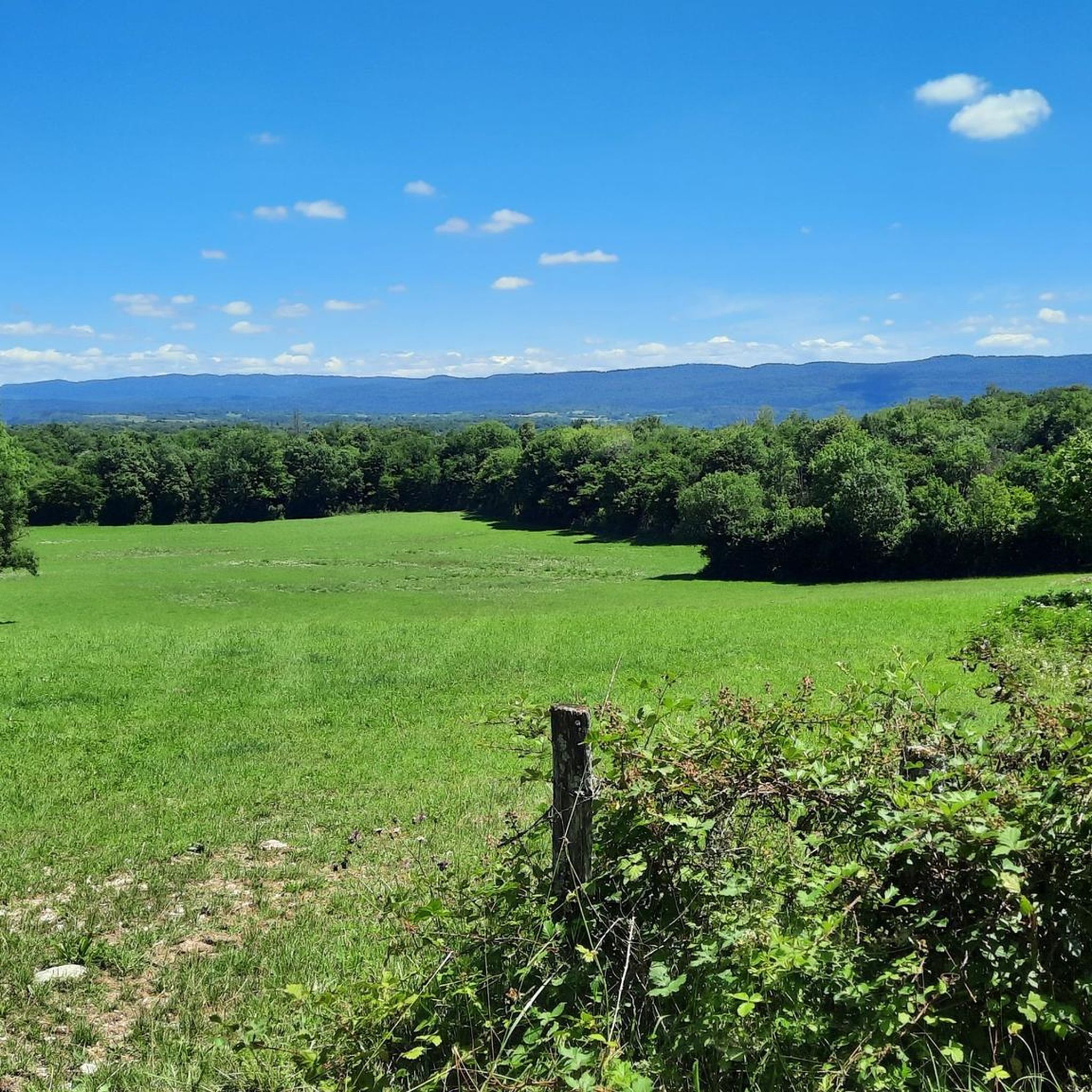
Gravel biking around Dompierre-Sur-Mont offers diverse terrain within the Jura department, characterized by hilly and verdant surroundings. The region features minor mountains, extensive forests, and numerous lakes, providing varied experiences for gravel bikers. This landscape includes rolling hills and unpaved forest lanes, making it suitable for exploring the natural heritage of the Bourgogne-Franche-Comté region.
Best gravel bike trails around Dompierre-Sur-Mont
- The most popular gravel bike trail is Stunning view of the lake – View of Lake Vouglans loop from Boissia…
Last updated: July 3, 2026
4.0
(5)
31
riders
29.1km
02:04
440m
440m
Hard gravel ride. Good fitness required. You may need to push your bike for some segments of this route.
4.5
(2)
8
riders
Hard gravel ride. Very good fitness required. Mostly paved surfaces. Suitable for all skill levels.

Sign up for free
5.0
(2)
6
riders
18.2km
01:06
270m
270m
Moderate gravel ride. Good fitness required. Mostly paved surfaces. Suitable for all skill levels.
5.0
(1)
8
riders
Hard gravel ride. Very good fitness required. Mostly paved surfaces. Suitable for all skill levels.
2
riders
30.2km
02:19
440m
440m
Moderate gravel ride. Good fitness required. Mostly paved surfaces. Suitable for all skill levels.
Get access to more routes and recommendations from other explorers.
Sign up for free
Already have an account?
Our route recommendations are based on thousands of hikes, rides, and runs completed by other people on komoot.
Start today with a free account
Your next adventure awaits.
Login or Signup
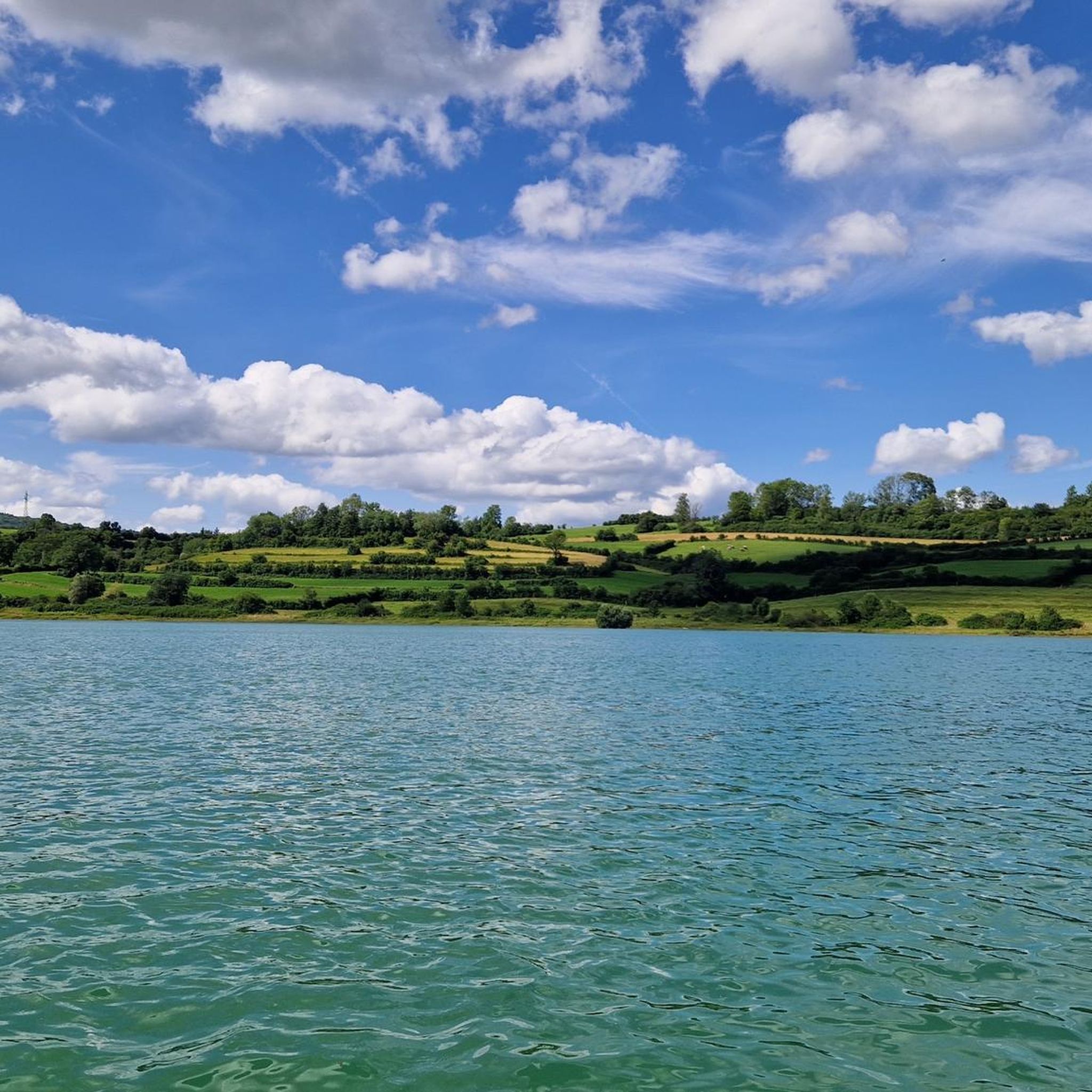
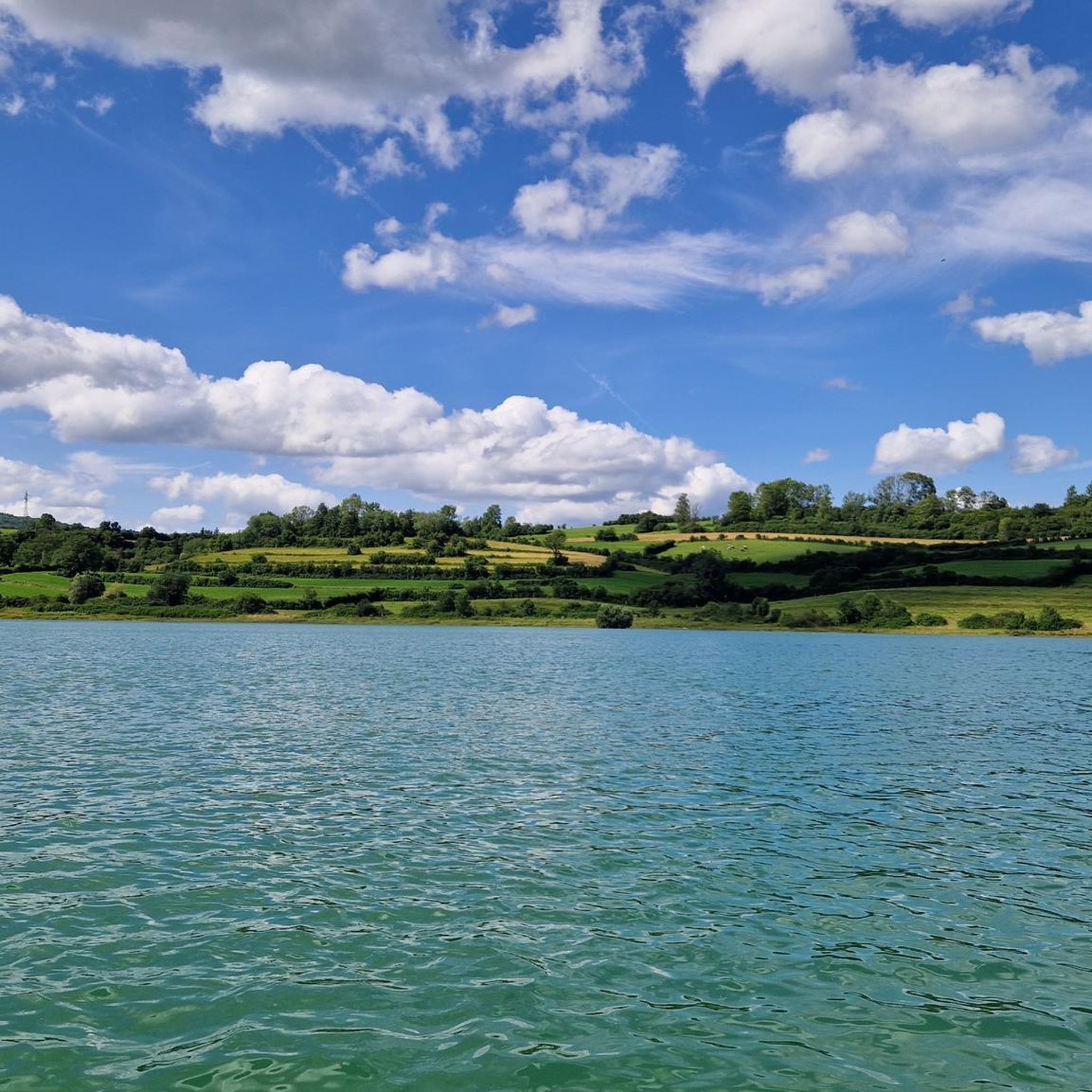
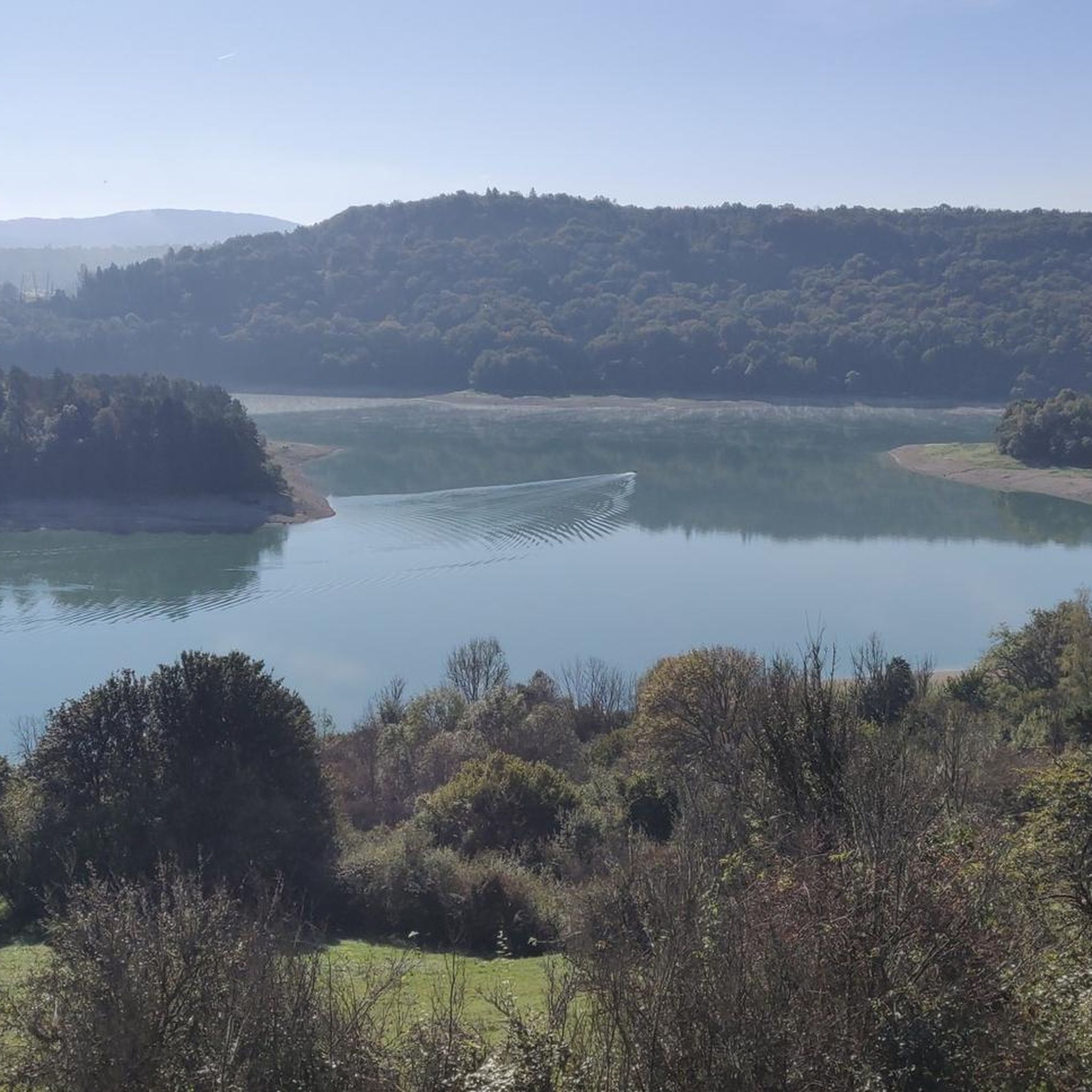
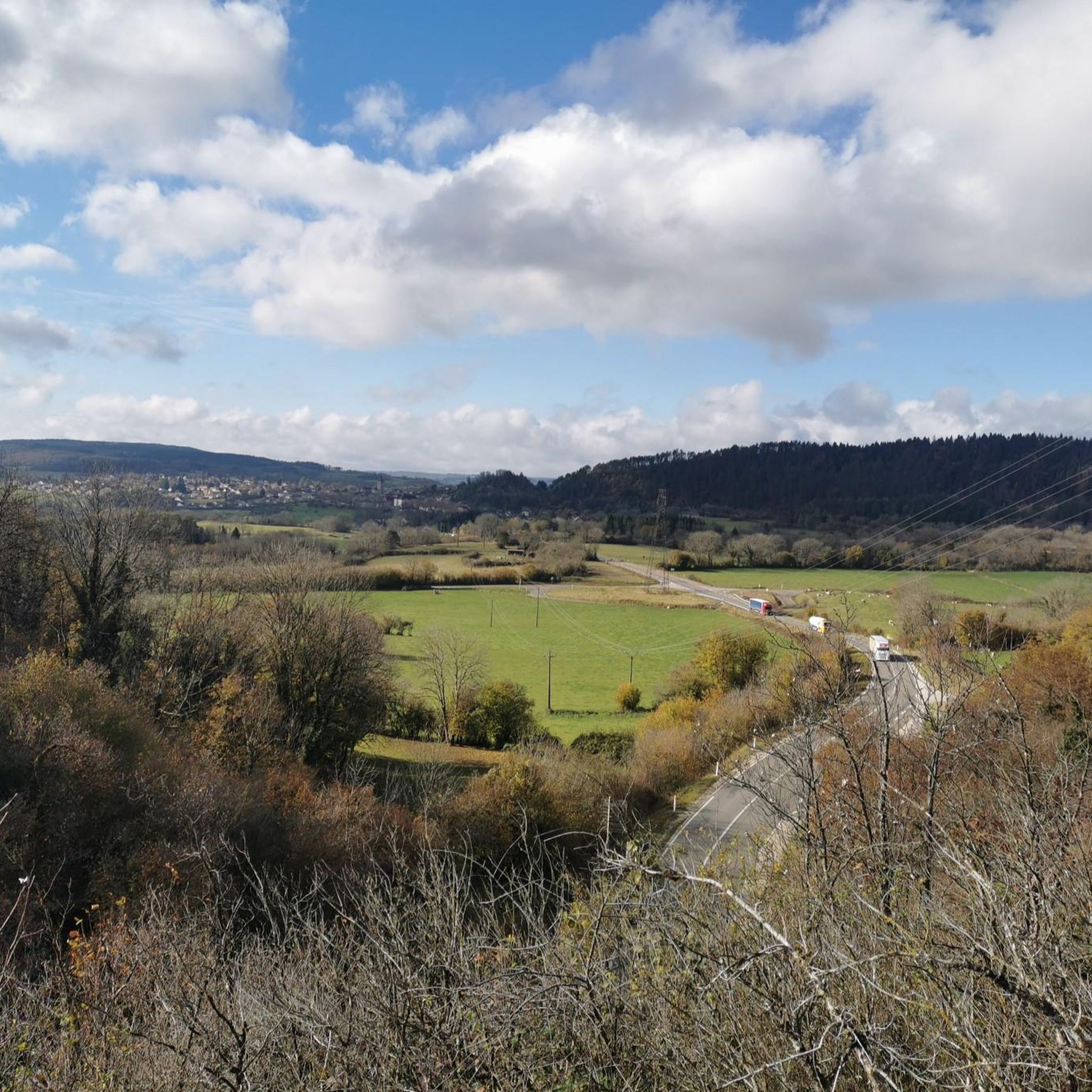
Tips from the Community


The Saut de la Saisse is a waterfall in France located in the Jura massif, at the point where the Ain river flows into the Vouglans reservoir at Pont-de-Poitte and Patornay, between Lons-le-Saunier and Clairvaux-les-Lacs. A "marmite du diable", "marmite de géant" or "marmite glaciaire" in Switzerland (or simply "marmite" or "chaudron") is a more or less cylindrical natural cavity carved into the rock by ancient, generally torrential watercourses, carrying pebbles or gravel, which promotes swirling erosion (a phenomenon called "marmitage").
0
0

17th-century church whose origins date back to the 13th century.
6
0
Small square with old plane trees and memorial stone in front of the church.
6
0
Town center of Orgelet with some historic buildings.
5
0
Town hall in the center of Orgelet.
3
0
Central, small square in the historic old town.
3
0
Climbed it today (17-8-25); it's open, and there are signs along the road showing your progress. Traffic is quiet, and a beautiful green climb, especially further on.
0
0
Frequently Asked Questions
What kind of terrain can I expect on gravel bike trails around Dompierre-sur-Mont?
The gravel bike trails around Dompierre-sur-Mont are characterized by diverse terrain, ranging from rolling hills to more rugged paths. You'll encounter extensive forests, particularly a mix of conifers and deciduous trees, and numerous lakes. The region's landscape includes unpaved forest lanes and varied elevations, offering a rich natural experience.
Are there gravel bike routes suitable for beginners in Dompierre-sur-Mont?
While many routes in the area are rated as difficult, the region's diverse terrain does offer options. For a less strenuous experience, look for routes that stick to the less technical forest lanes. Currently, komoot lists 4 moderate routes, but the majority of the 22 available routes are considered difficult, often featuring significant elevation changes.
How many gravel bike trails are available in the Dompierre-sur-Mont area?
There are over 20 gravel bike trails available around Dompierre-sur-Mont on komoot, offering a variety of distances and challenges for exploring the region's natural beauty.
What do other gravel bikers enjoy most about the trails in Dompierre-sur-Mont?
The gravel biking routes around Dompierre-sur-Mont are highly rated by the komoot community, with an average score of 4.0 stars from over 11 reviews. Riders often praise the stunning views, especially those overlooking Lake Vouglans, and the immersive experience of cycling through dense, varied forests.
Are there any notable natural attractions or viewpoints along the gravel bike routes?
Yes, the area is rich in natural attractions. Many routes offer superb views of La Fratte Viewpoint and the expansive Lake Vouglans. You might also encounter unique features like Moss-Covered Rocks in the Forest or even the Quinquenouille Waterfall, though the spectacular Hérisson Waterfalls are a bit further afield.
Can I find any historical or unique landmarks while gravel biking here?
Absolutely. The region features interesting historical infrastructure, such as the Tunnel de la Diane (Voie PLM) and the Metal Bridge and Tunnel of the Voie PLM. These are often integrated into routes like the View of the Ain at Pont-de-Poitte – The Old Railway Tunnel loop from Pont-de-Poitte, offering a glimpse into the area's past.
When is the best time of year to go gravel biking in Dompierre-sur-Mont?
The best seasons for gravel biking in the Jura Mountains, including Dompierre-sur-Mont, are spring and summer, when wildflowers bloom and temperatures are mild. Autumn also offers a beautiful experience with vibrant foliage. Winter can be challenging due to colder temperatures and potential snow.
Are there any family-friendly gravel biking options around Dompierre-sur-Mont?
While many routes are rated difficult, the region's extensive network of forest lanes and paths can offer gentler sections suitable for families. Look for routes that utilize the Voie Verte PLM cycle path, which provides a smoother surface. The varied forests around areas like Varessia are also known for being suitable for family walks and nature observation.
Are there any circular gravel bike routes available?
Yes, many of the gravel bike routes around Dompierre-sur-Mont are designed as loops. Examples include the Stunning view of the lake – View of Lake Vouglans loop from Boissia and the Vouglans Dam – View of Lake Vouglans loop from Pont-de-Poitte, allowing you to start and finish at the same point.
What is the longest gravel bike route near Dompierre-sur-Mont?
One of the longer gravel bike routes in the immediate vicinity is the Vouglans Dam – View of Lake Vouglans loop from Pont-de-Poitte, which spans 41.3 miles (66.5 km) and features significant elevation gain.
Are there opportunities for wild swimming near the gravel trails?
The region is known for its numerous lakes, including the large Lac de Vouglans, as well as nearby Lake Clairvaux and Lac de Chalain. While specific wild swimming spots along gravel trails aren't detailed, these lakes offer opportunities for refreshing dips, especially during warmer months.
What are the typical elevation changes on gravel routes in this area?
Gravel routes around Dompierre-sur-Mont often feature significant elevation changes due to the hilly and mountainous terrain of the Jura. For example, the Vouglans Dam – View of Lake Vouglans loop from Pont-de-Poitte includes over 1000 meters of ascent, providing a challenging workout for riders.
Most popular routes around Dompierre-Sur-Mont
Most popular attractions around Dompierre-Sur-Mont

Get inspired with the komoot mobile app


Explore more
Browse the best Gravel rides in other regions.
