The best road cycling routes around Dompierre-Sur-Mont
4.5
(141)
2,309
riders
136
rides
Road cycling routes around Dompierre-Sur-Mont traverse a landscape characterized by rolling hills, forested areas, and views of the nearby Lac de Vouglans. The region features varied terrain, including moderate ascents and descents, suitable for road cyclists. Roads often wind through rural settings, offering a mix of open stretches and tree-lined sections within the Jura Mountains.
Best road cycling routes around Dompierre-Sur-Mont
- The most popular road cycling route is Orgelet - Vernantois – View of Lake Vouglans loop from Dompierre-sur-Mont,…
Last updated: July 2, 2026
4.5
(2)
31
riders
51.9km
02:15
460m
460m
Moderate road ride. Good fitness required. Mostly well-paved surfaces and easy to ride.
4.7
(6)
20
riders
29.9km
01:31
490m
490m
Moderate road ride. Good fitness required. Mostly well-paved surfaces and easy to ride.

Sign up for free
9
riders
92.9km
04:23
1,190m
1,190m
Hard road ride. Very good fitness required. Mostly well-paved surfaces and easy to ride.
19
riders
48.2km
02:11
430m
430m
Moderate road ride. Good fitness required. Mostly well-paved surfaces and easy to ride.
9
riders
Moderate road ride. Good fitness required. Mostly well-paved surfaces and easy to ride.
Get access to more routes and recommendations from other explorers.
Sign up for free
Already have an account?
Our route recommendations are based on thousands of hikes, rides, and runs completed by other people on komoot.
Start today with a free account
Your next adventure awaits.
Login or Signup

Tips from the Community

A bit of welcome freshness
0
0

The bridge separates two departments, the Jura and the Ain. "Iron bridge. For several centuries, the Ain was crossed at Thoirette using a ferry, called Christouphe's ferry, named after the commune where the passenger resided. From 1808 to 1811, the riparian communes contributed to building a bridge in place of this ferry. The project had been drawn up by Mr. Cordier, from Orgelet, an engineer then in charge of directing the works for the Simplon road. Various obstacles opposed the execution of this work. It was not until 1829 that an iron bridge was built, which collapsed in 1843. The Ain department has just replaced it with an iron bridge currently open to traffic". Statistique de la France - 1855 - Ministère de l'Agriculture by Imprimerie Impériale in Paris - p53.
0
0


Correction to my tip: Asphalt with mixed traffic, for residents, but I couldn't see where the residents wanted to go. It's a shame, some sections of the asphalt are no longer in such good condition.
0
0
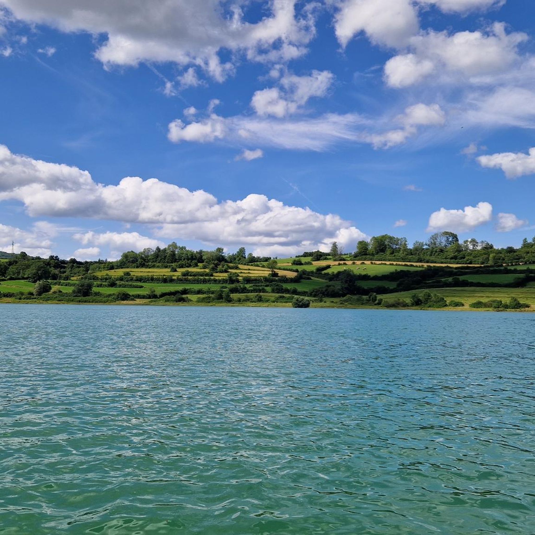
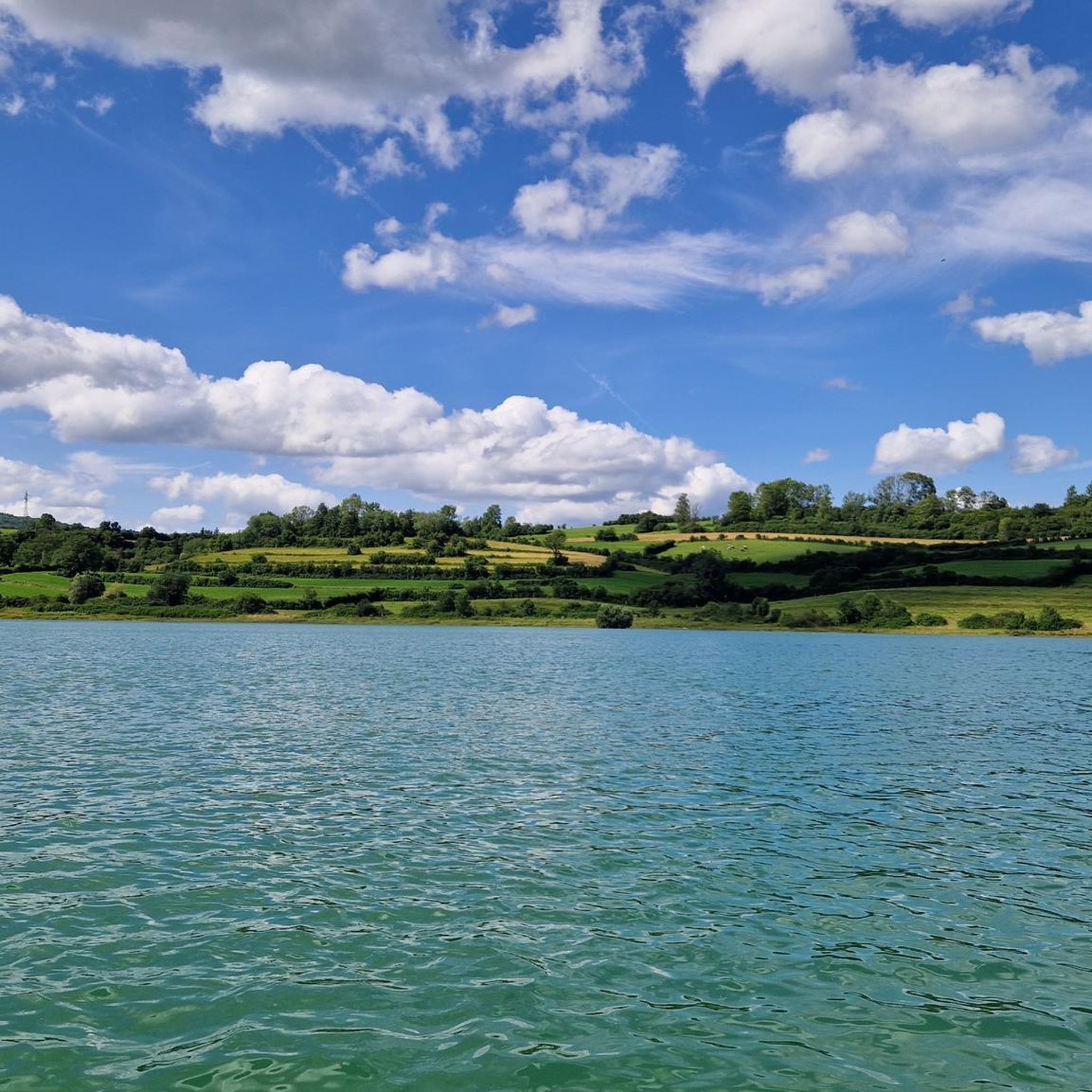
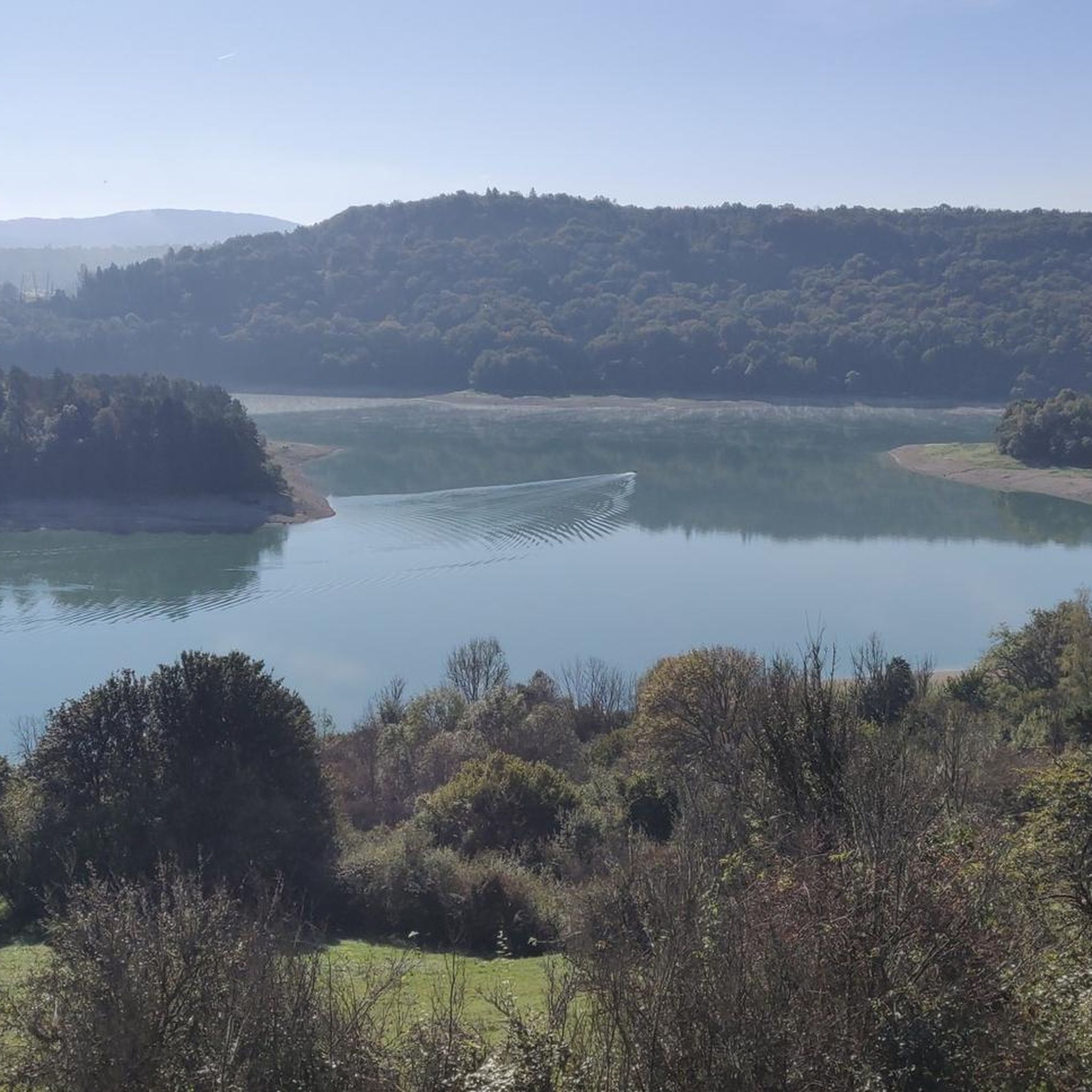
Parking lot on the road with a beautiful view of the Lac de Vouglans, crossed by the Ain.
0
0

This view of Lake Vouglans is a breathtaking panorama of deep blue waters framed by rolling hills and lush green forests. As you approach, the lake stretches for an impressive 35 kilometres. Vouglans is the third largest artificial lake in France, created by the construction of the Vouglans Dam.
1
0

Frequently Asked Questions
How many road cycling routes are available in Dompierre-Sur-Mont?
Dompierre-Sur-Mont offers over 130 road cycling routes. These routes vary in difficulty, with options for easy, moderate, and challenging rides, ensuring there's something for every skill level.
Are there beginner-friendly road cycling routes in Dompierre-Sur-Mont?
Yes, there are 16 easy road cycling routes around Dompierre-Sur-Mont. These routes are generally characterized by rolling hills and less demanding ascents, making them suitable for those new to road cycling or looking for a more relaxed ride.
What are some challenging road cycling routes near Dompierre-Sur-Mont?
For experienced cyclists seeking a challenge, Dompierre-Sur-Mont features 27 difficult road cycling routes. These typically involve significant elevation gains and more demanding terrain, providing a rigorous workout amidst the region's scenic landscapes.
Are there any loop road cycling routes around Dompierre-Sur-Mont?
Many of the road cycling routes in Dompierre-Sur-Mont are designed as loops, allowing you to start and finish at the same point. For example, the Stunning view of the lake – View of Lake Vouglans loop from Orgelet is a popular circular route offering beautiful scenery.
What are the typical distances and durations for road cycling routes in this region?
Road cycling routes around Dompierre-Sur-Mont vary in length and duration. Moderate routes, such as the "Cadet Roussel" statue – Arinthod loop from Orgelet, are typically around 21.8 miles (35.1 km) and can take approximately 1 hour 37 minutes. Longer routes, like the View of Lac de Vouglans – View of Lake Vouglans loop from Orgelet, can be up to 26.3 miles (42.4 km) and take over 2 hours.
What can I see along the road cycling routes in Dompierre-Sur-Mont?
Many routes offer scenic viewpoints and natural attractions. You can enjoy views of Lac de Vouglans, such as from the La Fratte Viewpoint. Other routes might pass by the Pyle Bridge or the tranquil Lac de Clairvaux-les-Lacs.
Are there any interesting landmarks or historical sites along the routes?
Yes, some routes incorporate interesting landmarks. For instance, the "Cadet Roussel" statue – Arinthod loop from Orgelet passes by the "Cadet Roussel" statue. You might also encounter remnants of old infrastructure like the Tunnel de la Diane (Voie PLM) or the Metal Bridge and Tunnel of the Voie PLM.
What do other road cyclists enjoy most about road cycling in Dompierre-Sur-Mont?
The area is highly rated by the komoot community, with an average score of 4.5 stars from over 120 reviews. Cyclists often praise the varied terrain, including rolling hills and forested sections, as well as the stunning views of Lac de Vouglans, which define many of the routes.
What is the best time of year for road cycling in Dompierre-Sur-Mont?
The region is generally pleasant for road cycling from spring through autumn. Summer offers warm weather, ideal for enjoying the lakes and viewpoints. However, spring and early autumn provide cooler temperatures and vibrant scenery, which many cyclists prefer.
Are there any routes that offer particularly scenic viewpoints?
Absolutely. Routes like the Stunning view of the lake – View of Lake Vouglans loop from Orgelet are specifically highlighted for their scenic viewpoints overlooking Lac de Vouglans. The region's topography naturally lends itself to picturesque vistas.
Where can I find parking for road bike trails in Dompierre-Sur-Mont?
While specific parking details for each trailhead are best checked on individual route pages, many routes around Dompierre-Sur-Mont start from towns like Orgelet. These towns typically offer public parking facilities suitable for accessing the cycling network.
Are there any routes that follow dedicated cycle paths?
Yes, some routes may incorporate sections of dedicated cycle paths. For example, the Voie Verte PLM cycle path is a notable feature in the area, offering a smooth and traffic-free cycling experience.
Most popular routes around Dompierre-Sur-Mont
Most popular attractions around Dompierre-Sur-Mont

Get inspired with the komoot mobile app


Explore more
Browse the best Road cycling routes in other regions.
